
- Brief description
-
Beautiful circular hiking trail with many vantage points in southern Styria.
- Difficulty
-
medium
- Rating
-
- Starting point
-
Josefiplatz, St. Johann i.S.
- Route
-
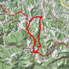
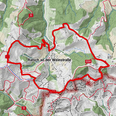
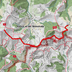
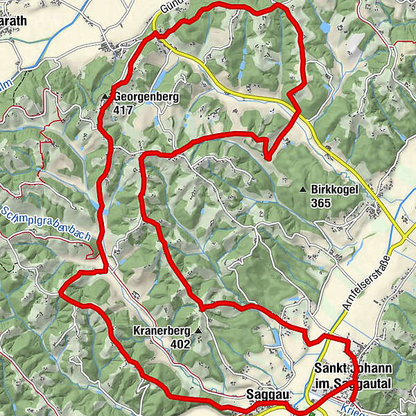
Gasthof Jauk0.1 kmPfarrkirche Heiliger Johannes der Täufer0.2 kmSankt Johann im Saggautal0.3 kmSaggau1.5 kmMaria Lourdes1.6 kmGeorgenberg (417 m)8.3 kmGasthof Literwirt9.3 kmMostschank Schneebacher10.4 kmKapellenschneider-Kapelle15.6 kmPfarrkirche Heiliger Johannes der Täufer20.6 kmSankt Johann im Saggautal20.6 kmGasthof Jauk20.7 km
- Best season
-
JanFebMarAprMayJunJulAugSepOctNovDec
- Description
-
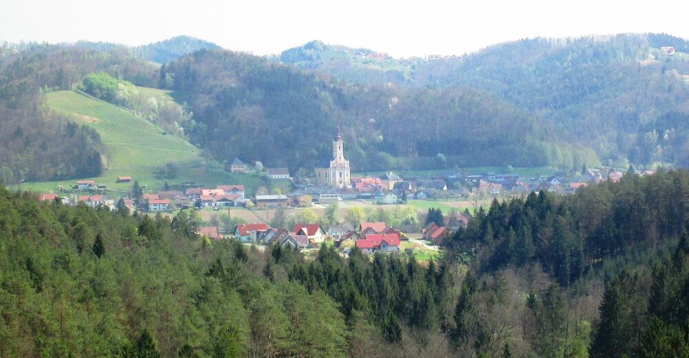
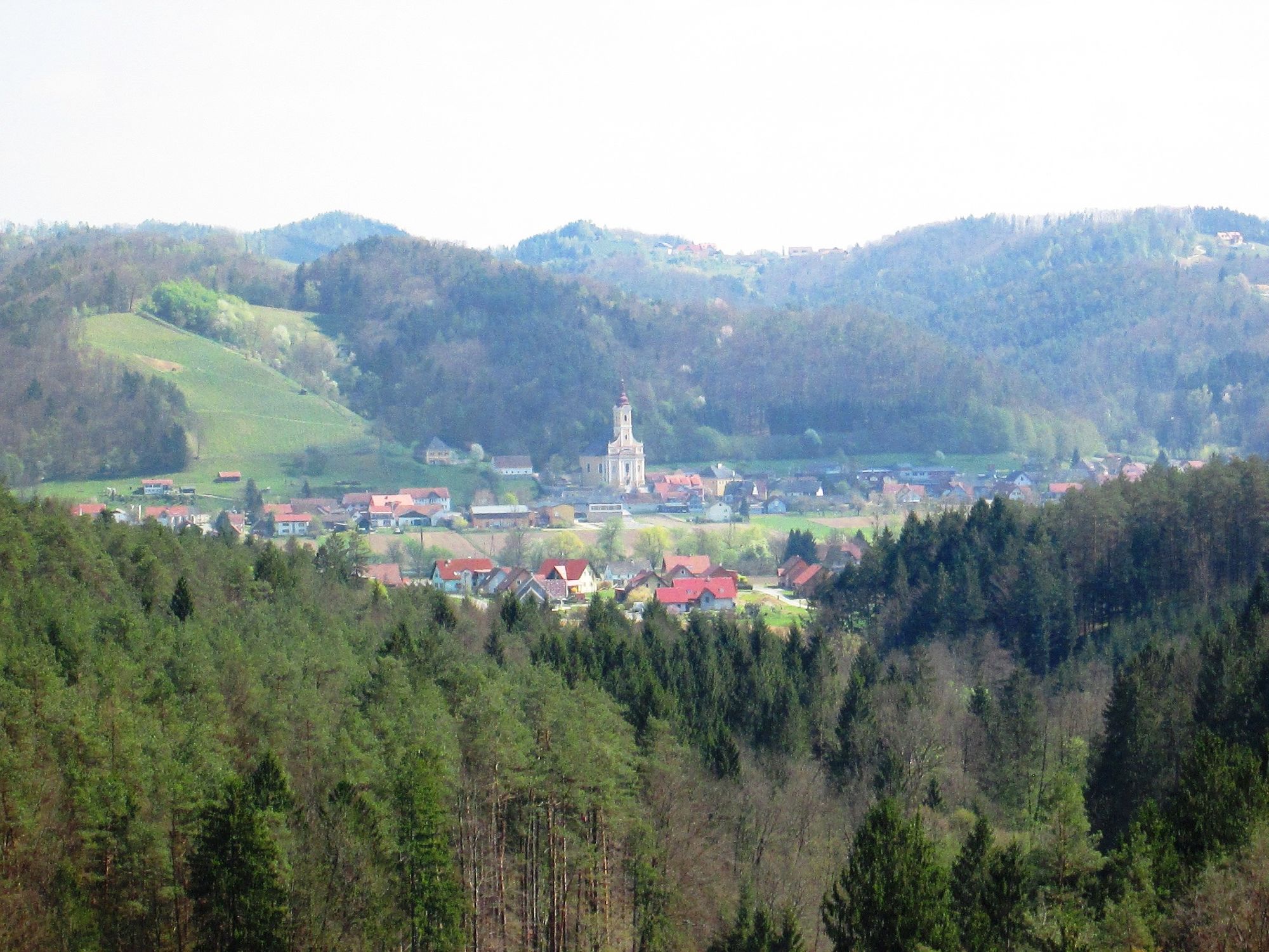
The topography of the municipality of St. Johann im Saggautal is the ideal example for the entire South Styrian hill country. The municipality lies in the middle of the beautiful Saggau Valley. The main village lies at 316 m above sea level, the highest points reach up to 589 m above sea level. St. Johann im Saggautal is characterised by a diverse landscape: Fertile fields in the valley, lush meadows and orchards on the gentle to very steep hills with charming vineyards and vineyard slopes. A colourful forest area stretches in between.
- Directions
-
The Untergreithweg trail has its starting point at Josefiplatz next to the Jauk car dealership in St. Johann im Saggautal. It first leads us towards the centre of the village, at the Jauk-Hartner inn towards the Saggautal valley. After crossing the Saggaubach stream, leave the short section along the main road and hike first through a section of forest and finally on municipal paths along the Habitschegg ridge to the Georgikirche church. Via Buschenschank Bernhardkeller past Gasthaus Literwirt and Goldes, you reach the Radigaberg area on municipal roads after crossing Priestergraben and continue on municipal roads back to the starting point.
- Highest point
- 412 m
- Endpoint
-
Josefiplatz, St. Johann i.S.
- Height profile
-

- Equipment
-
Good and comfortable footwear required.
We recommend that you always take a bottle of water with you. - Safety instructions
-
Enter the hiking trail at your own risk.
Please keep dogs on a leash. - Tips
-
Visit the filial church of St. Georgen am Lukowitsch.
- Additional information
- Directions
-
Coming from the south, north, west and east on the A9 Phyrnautobahn - exit Leibnitz - continue towards Kaindorf/S - Heimschuh - Großklein - St. Johann im Saggautal.
- Public transportation
- Parking
-
Parking is available at the starting point.

- Author
-
The tour Untergreithweg No. 17 is used by outdooractive.com provided.


General info
-
Südsteiermark
1135
-
Schilcherland Steiermark
1100
-
St. Johann im Saggautal
283