- Brief description
-
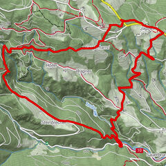
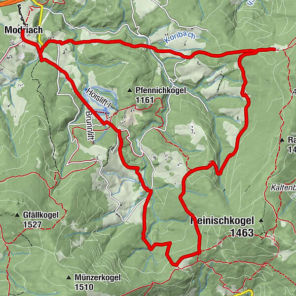
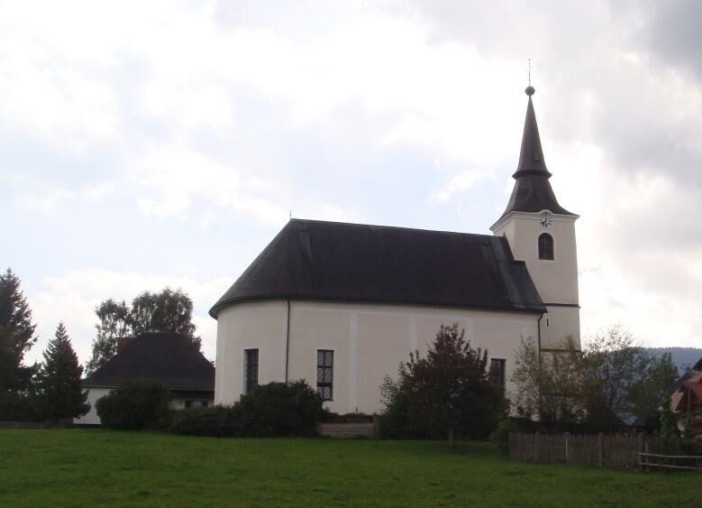
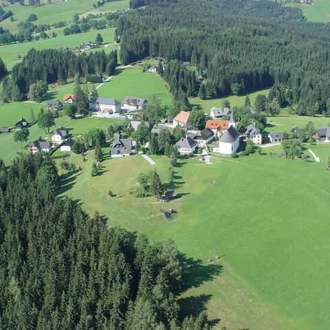
This circular hiking trail shows the different scenic facets of Modriach. Through forest and meadow we even pass a marshy area. Inns invite us to rest and convince with regional delicacies and lovely cordiality.
- Difficulty
-
medium
- Rating
-
- Route
-
Modriach0.0 kmHoiswirt2.5 kmSchrogentor (1,255 m)6.1 kmAiblwirt11.9 kmModriach17.0 km
- Best season
-
JanFebMarAprMayJunJulAugSepOctNovDec
- Description
-
Hikes through the rucksack villages in the Lipizzaner homeland give us a comprehensive insight into the typical cultural landscape of the region. Wide-stretched meadows characterize the appearance and the scattered farmsteads are surrounded by old fruit tree stands.
The alpine pastures of the rucksack villages offer us hikers and recreation seekers a unique natural spectacle, especially during the alpine bush blossom in June, and are therefore a popular vacation and excursion destination. During the blossoming of the alpine bushes, the vast alpine pastures are transformed into red carpets of color as far as the eye can see. But also at other times of the year nature lovers will find an abundance of rare plant species.
Refuges and alpine inns provide home cooking and regional delicacies for the physical well-being. Here, alpine farming is still alive and an integral part of the people who live here.
- Highest point
- 1,292 m
- Endpoint
-
Modriach, Ortszentrum
- Height profile
-


-

-
AuthorThe tour Modriacher Höhenweg is used by outdooractive.com provided.