© hel

© hel

© hel

© hel

© hel

© hel

© hel

© hel

© hel

© hel
Tour data
16km
790
- 1,365m
960hm
960hm
07:00h
- Brief description
-
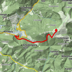
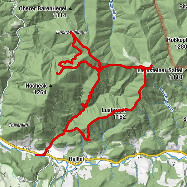
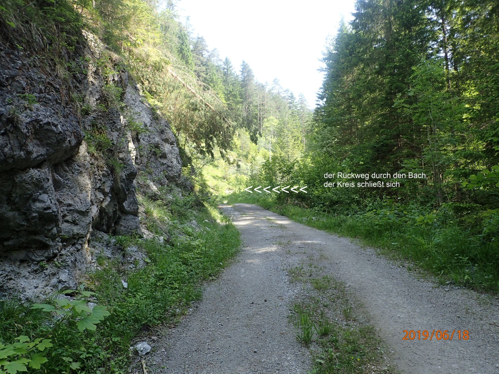
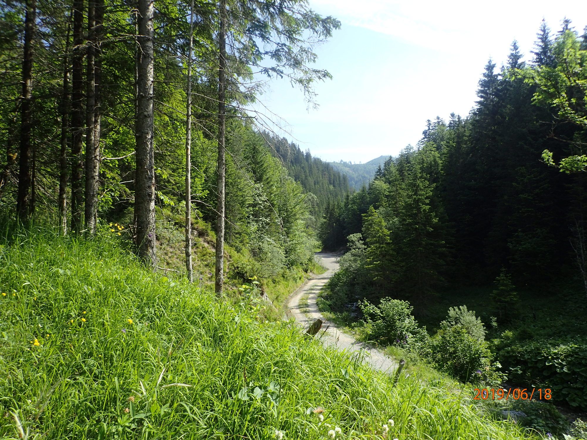
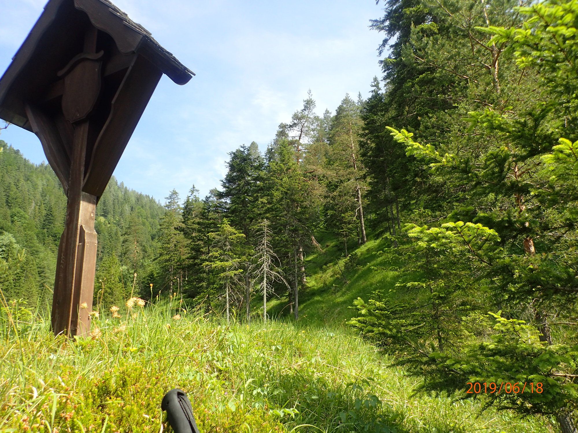
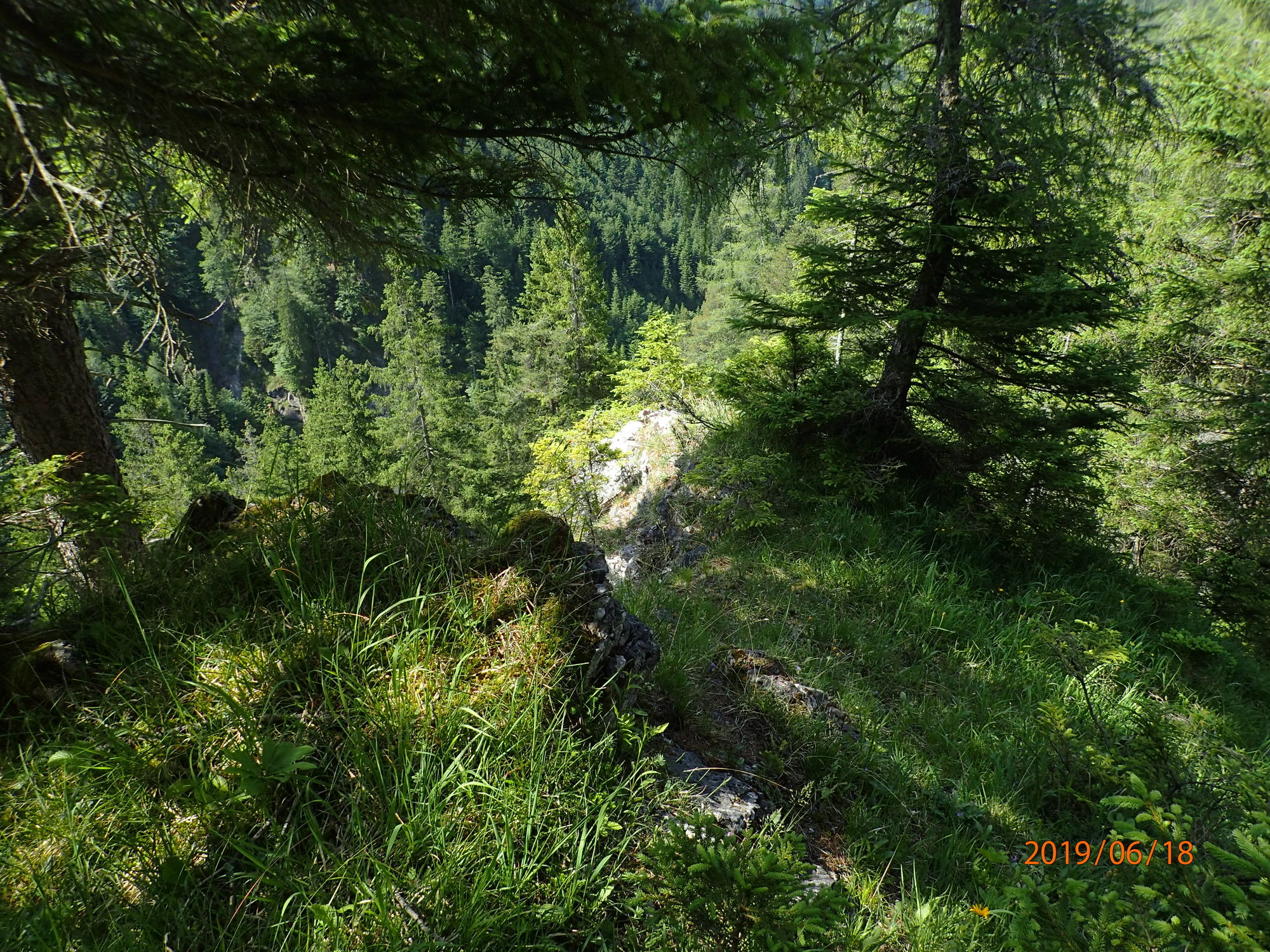
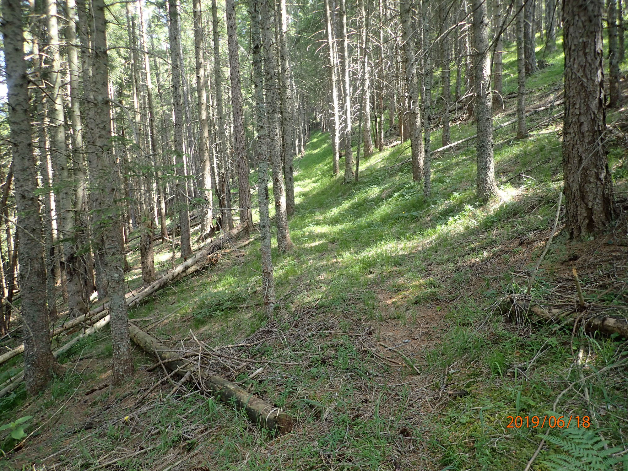
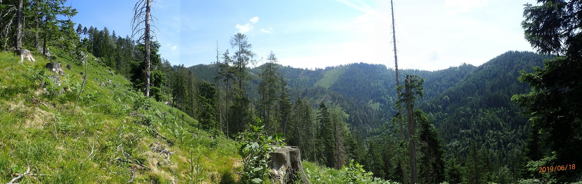
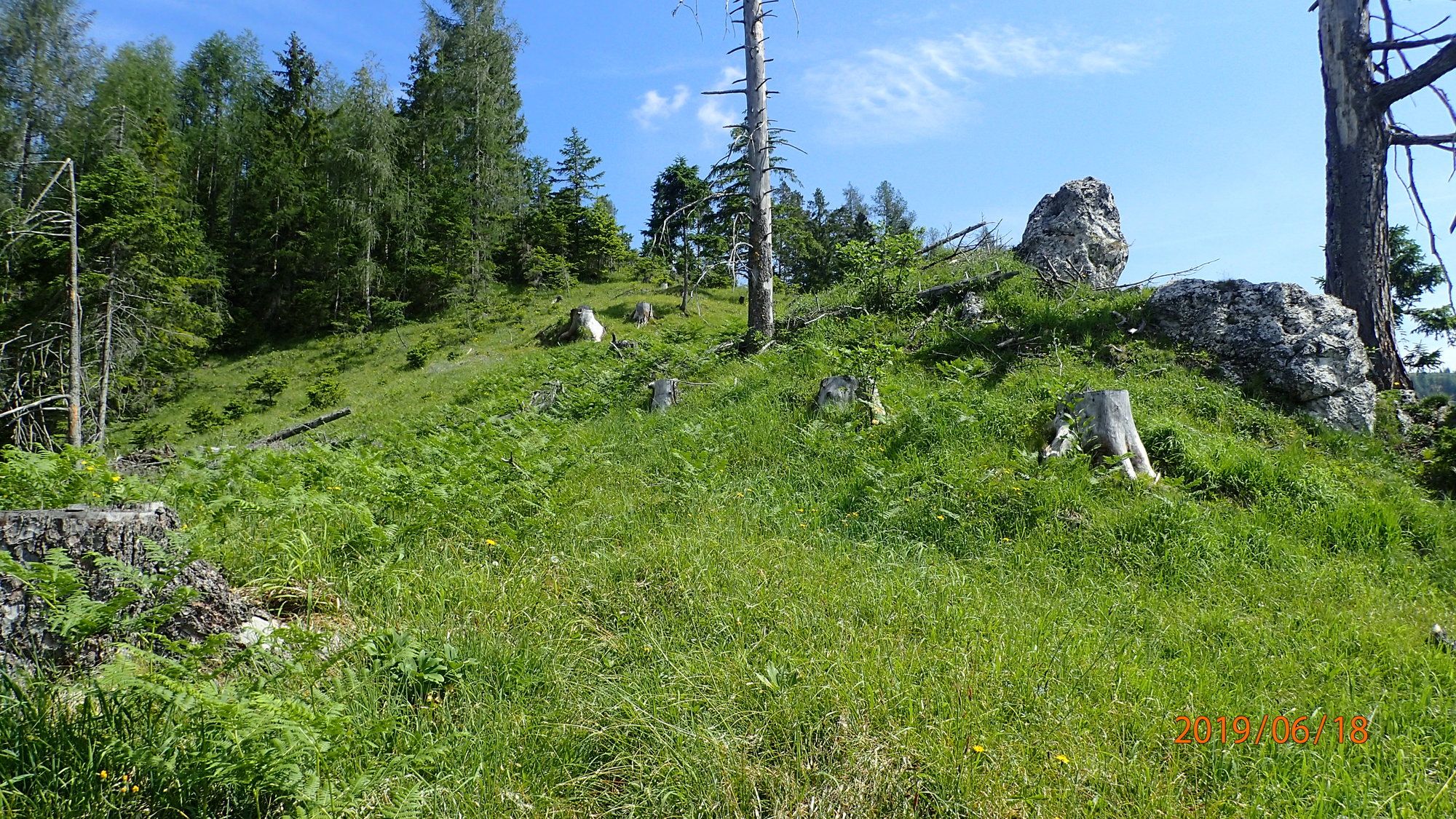
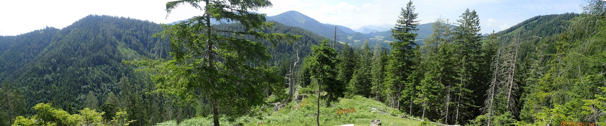
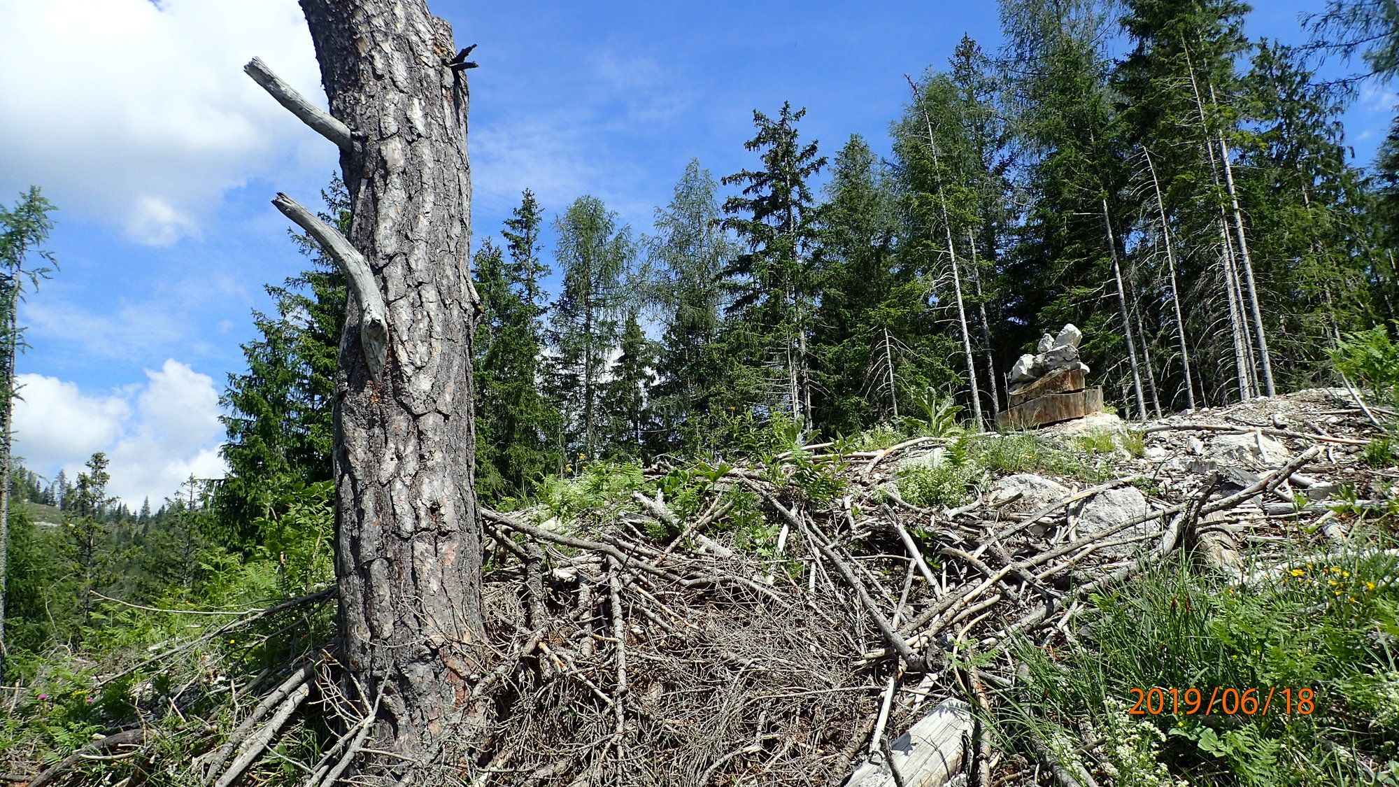
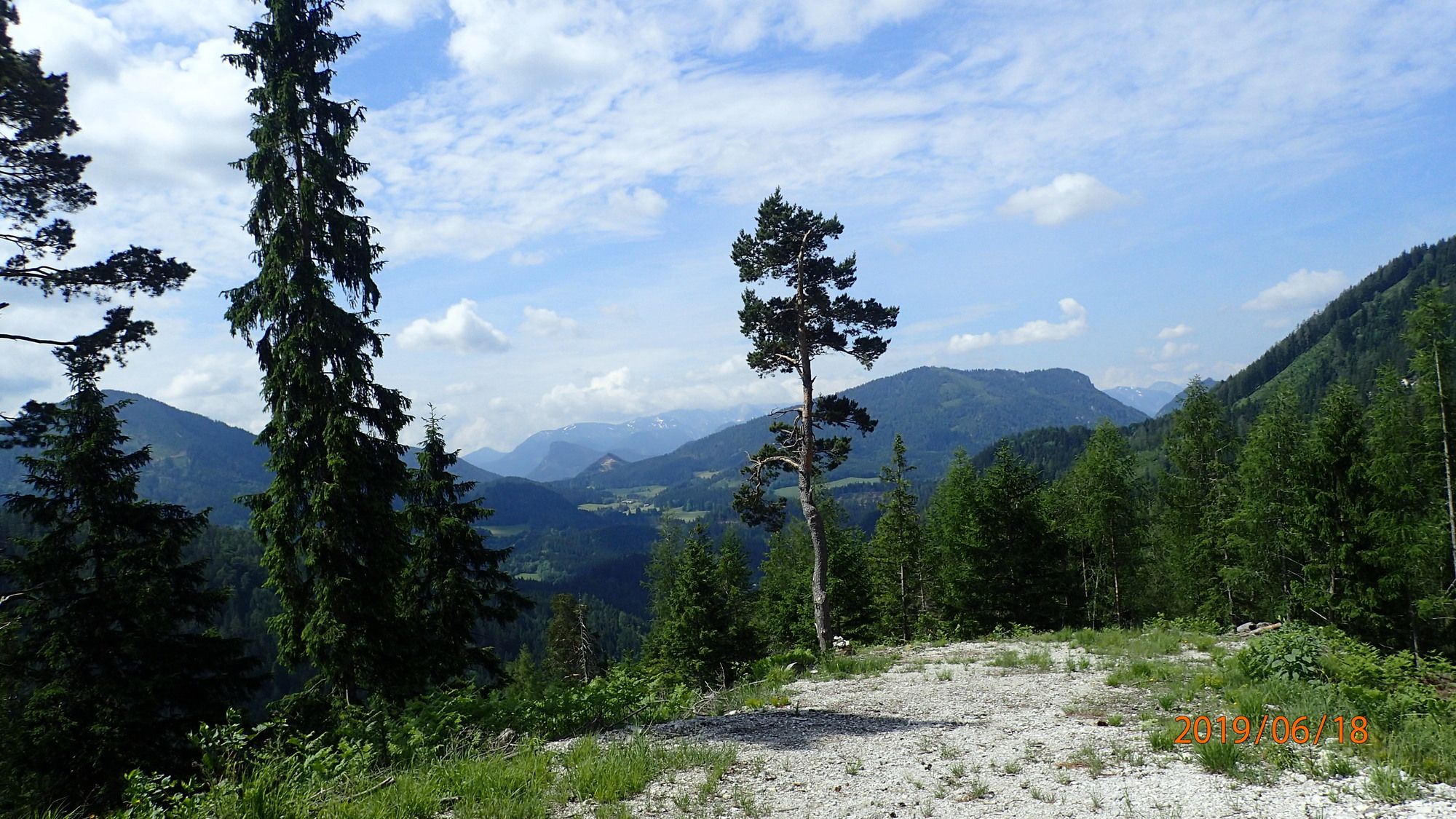
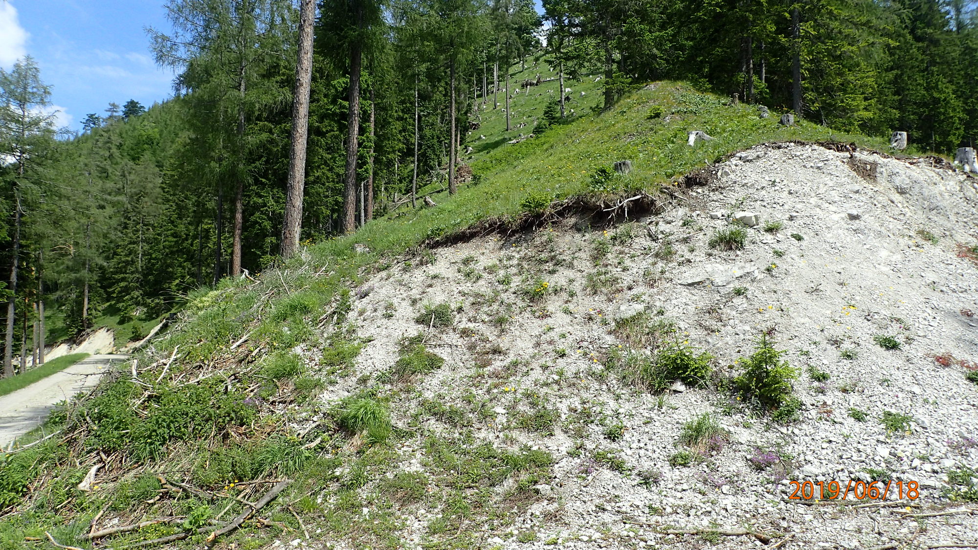
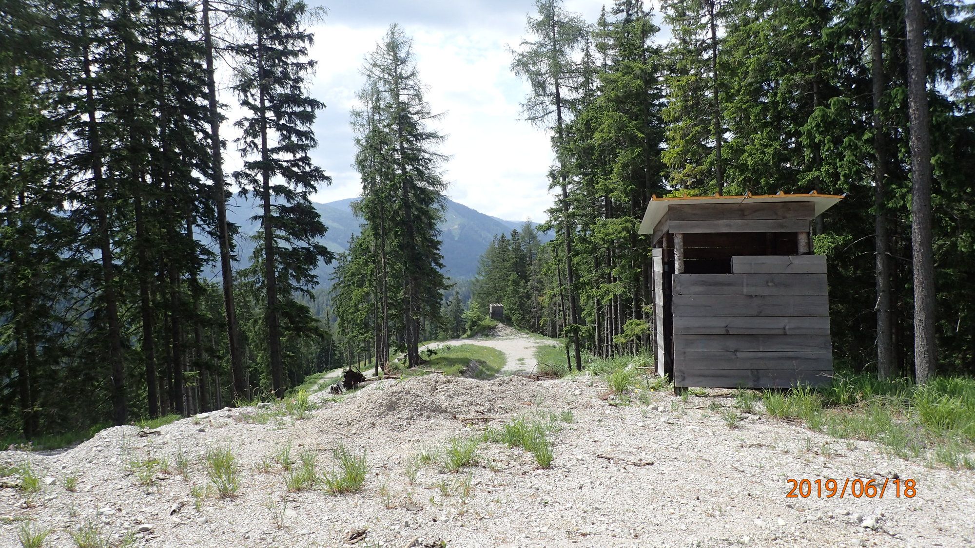
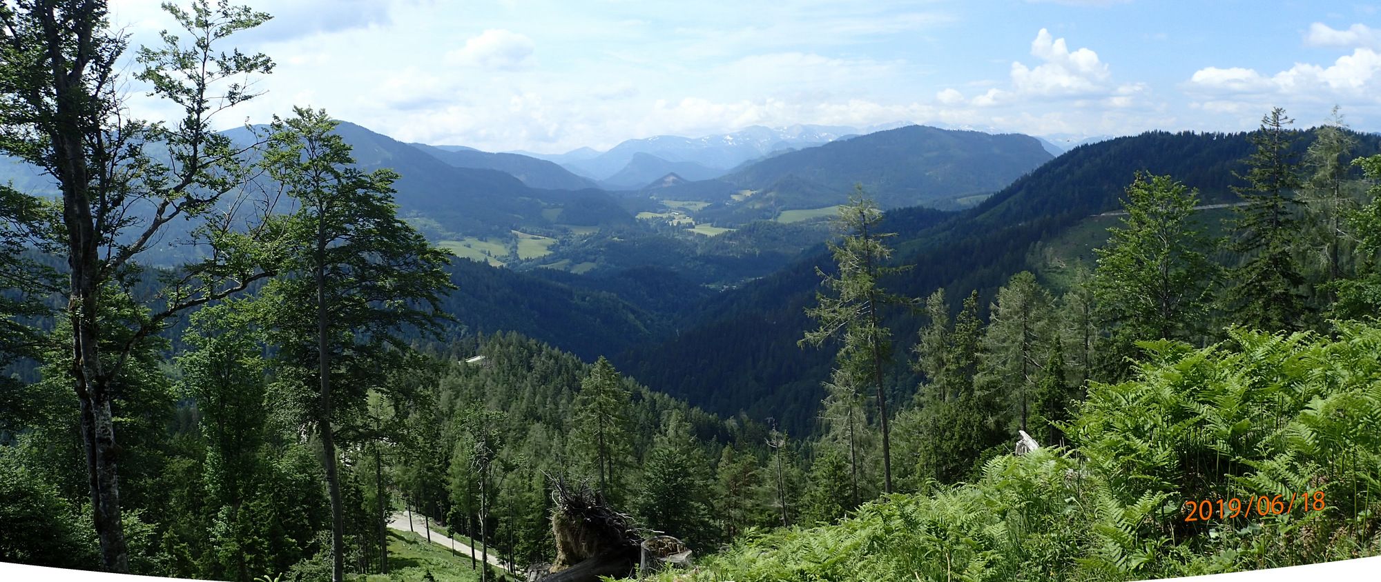
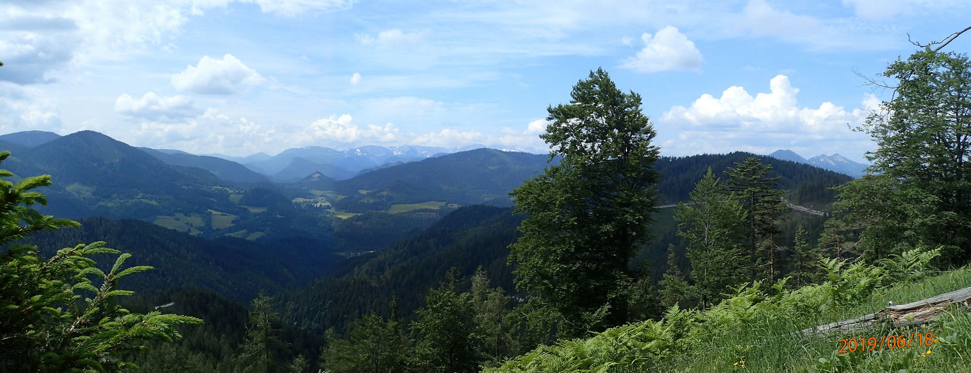
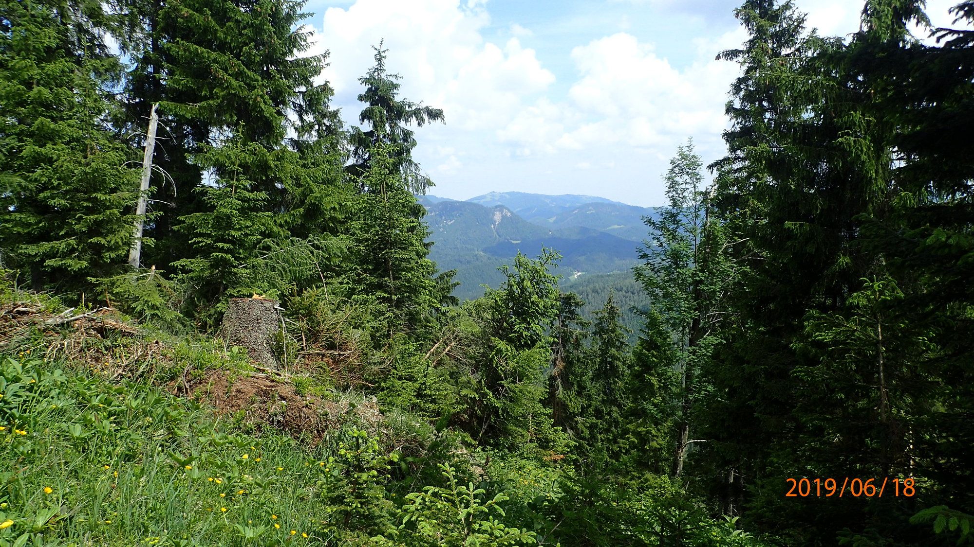
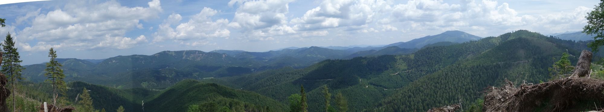
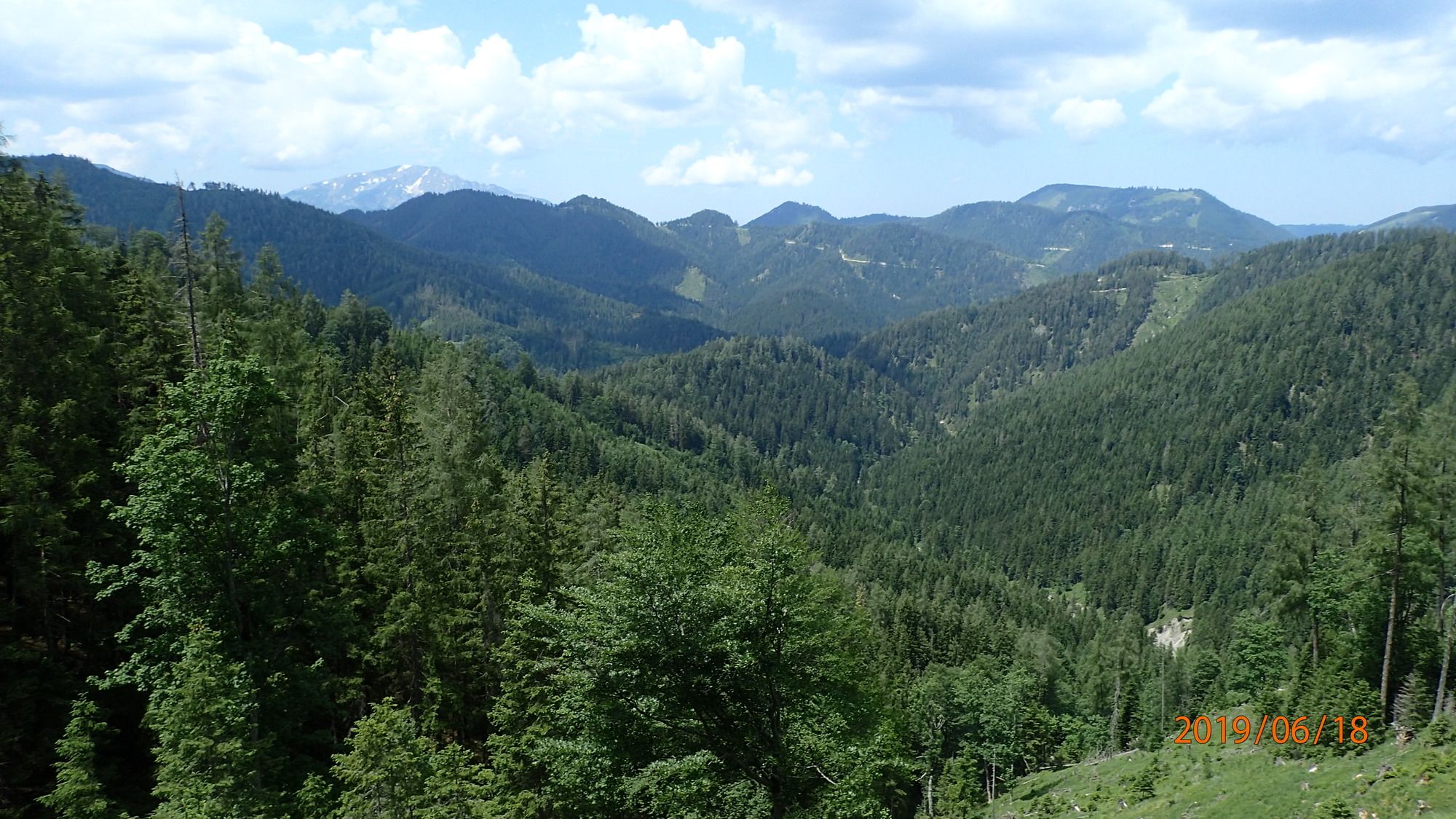
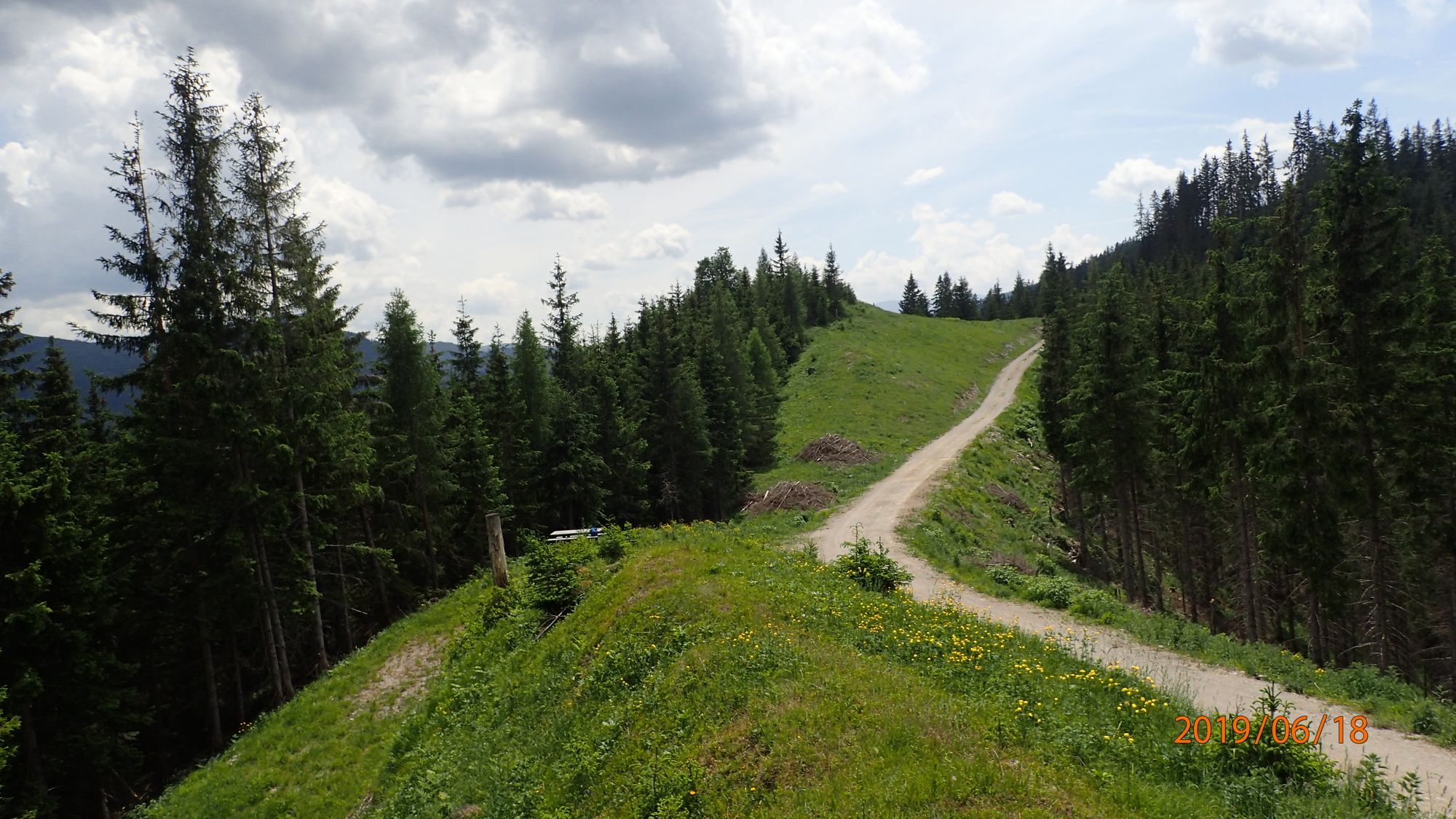
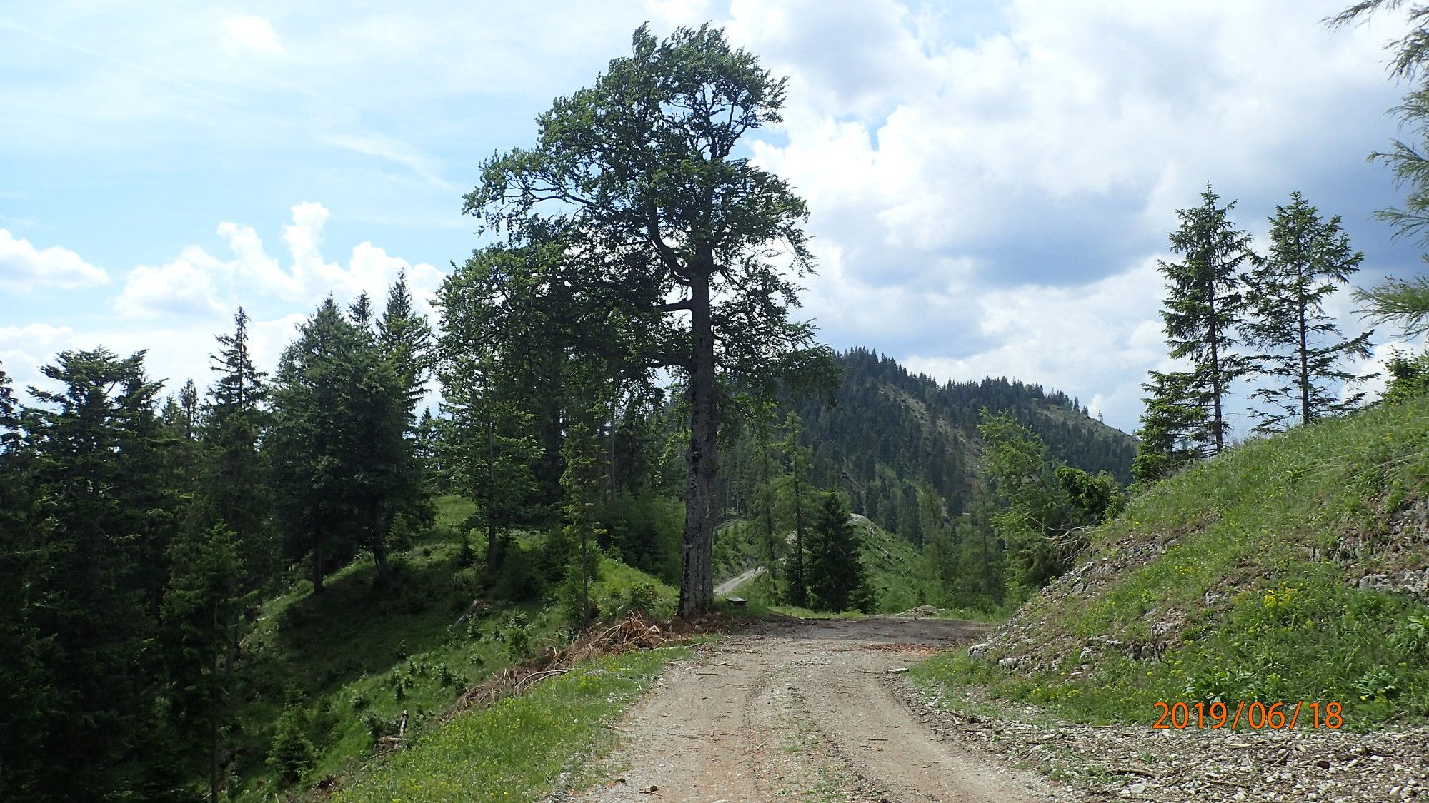
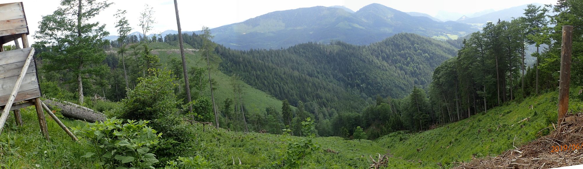
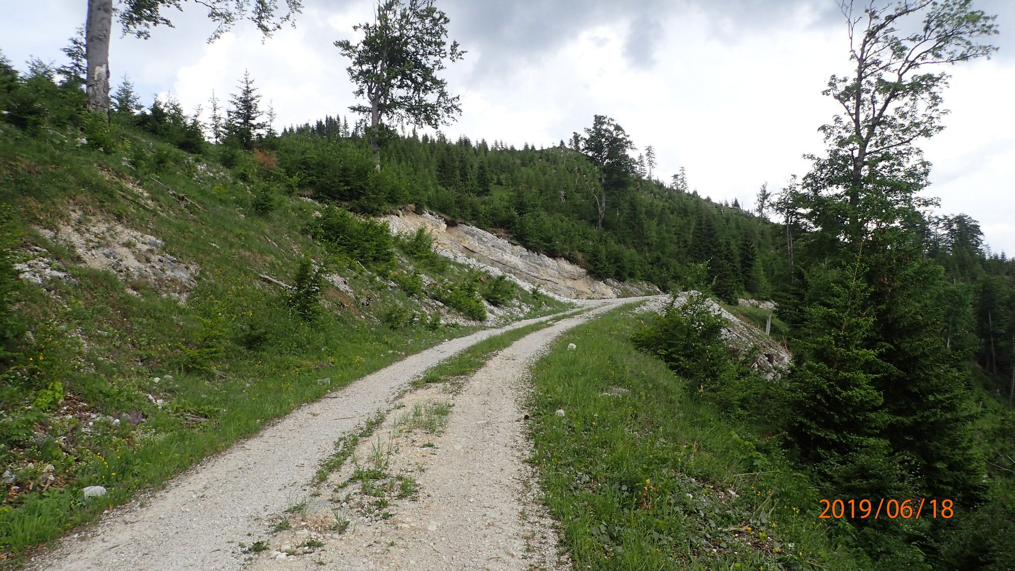
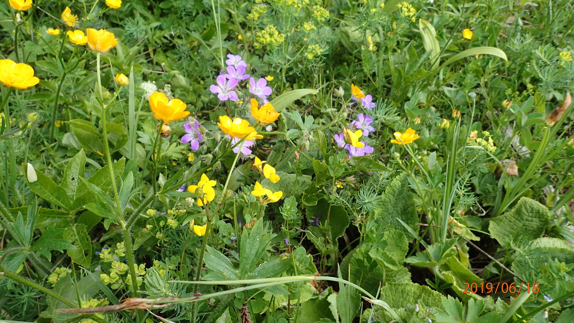
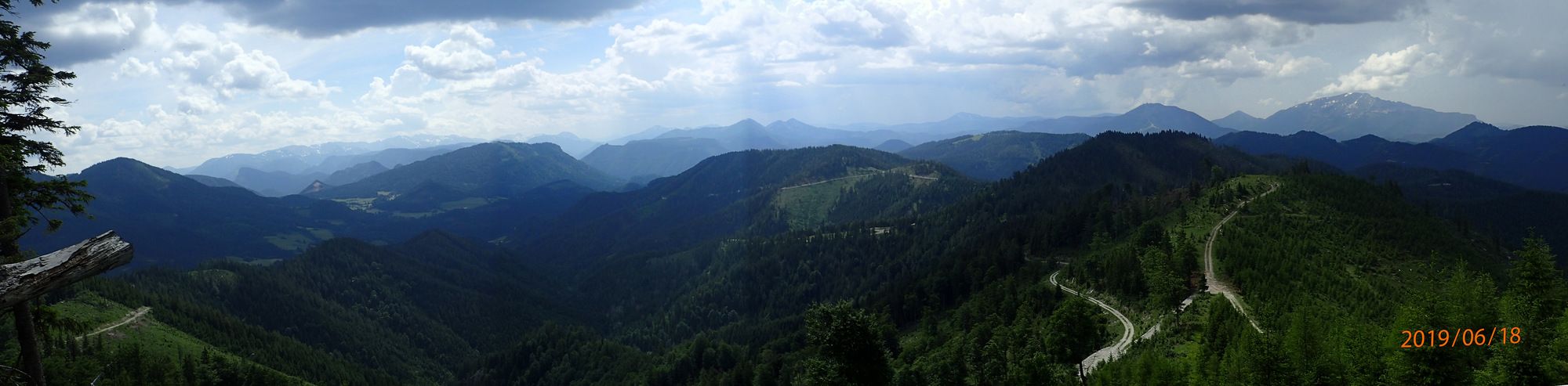
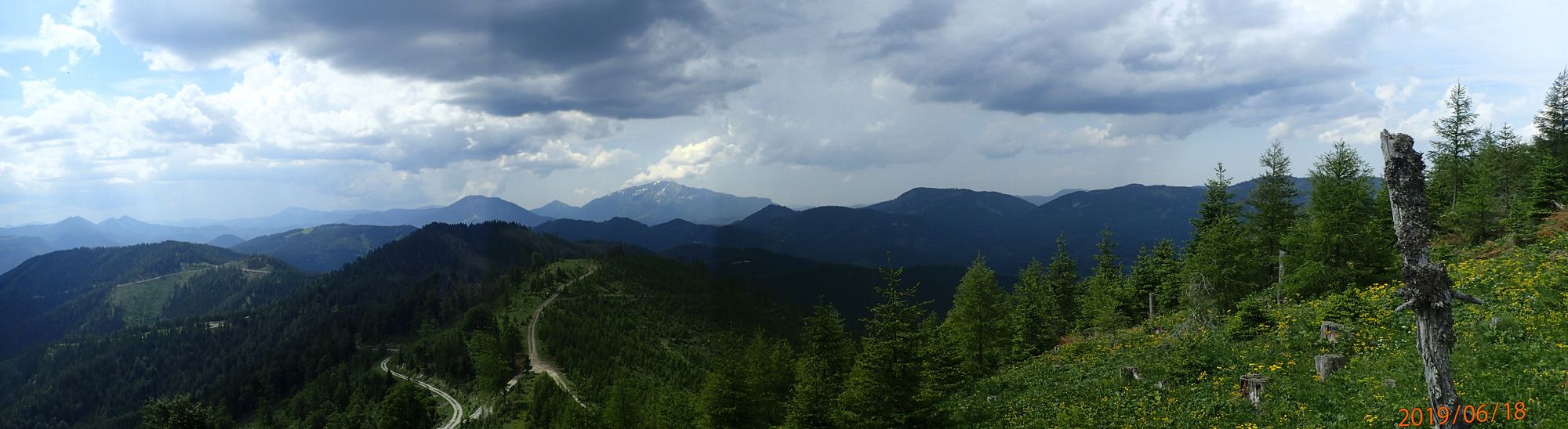
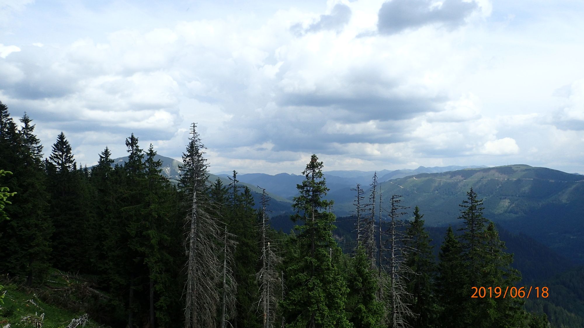
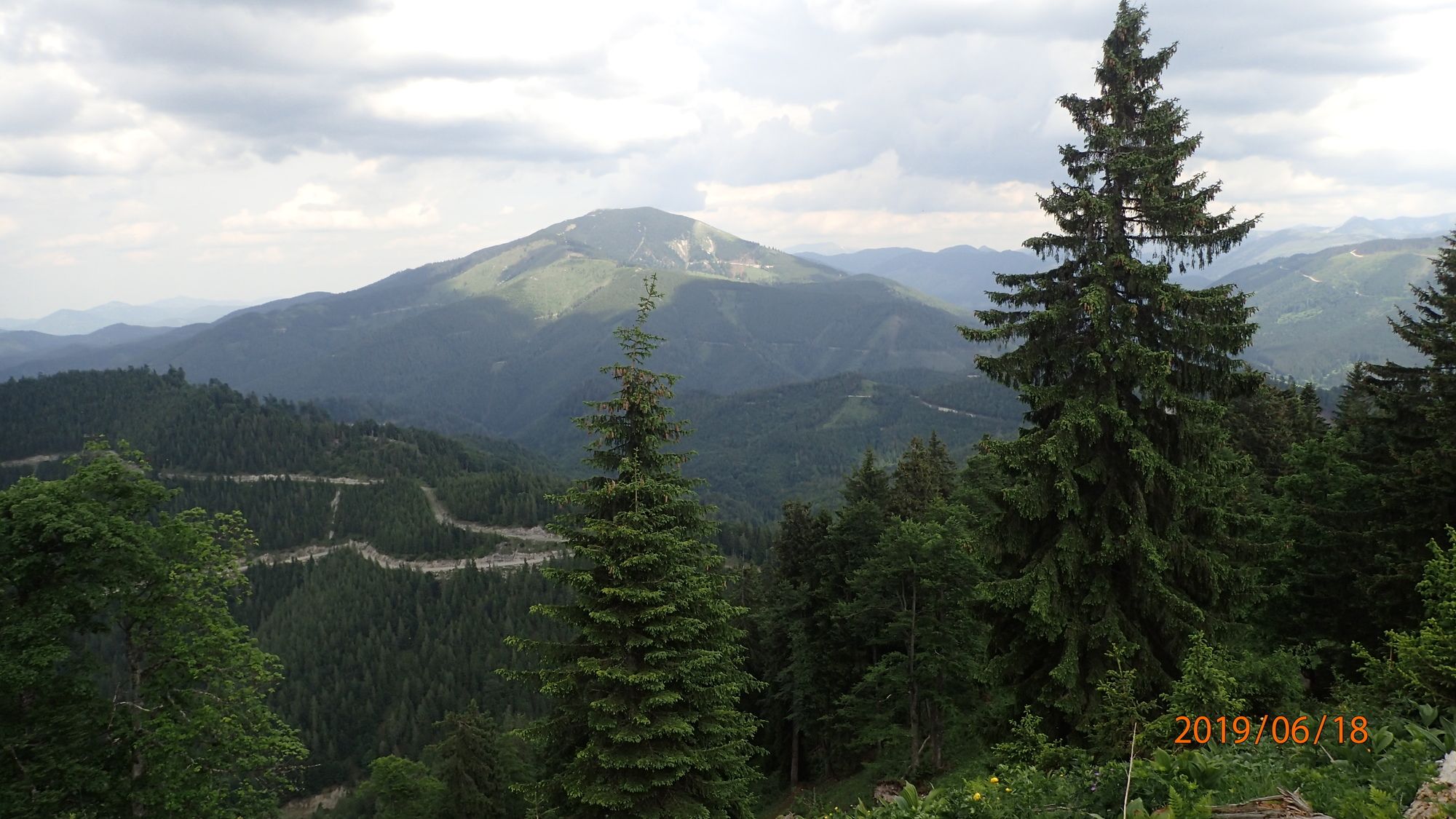
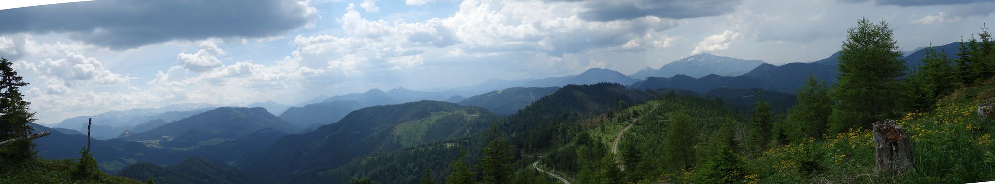
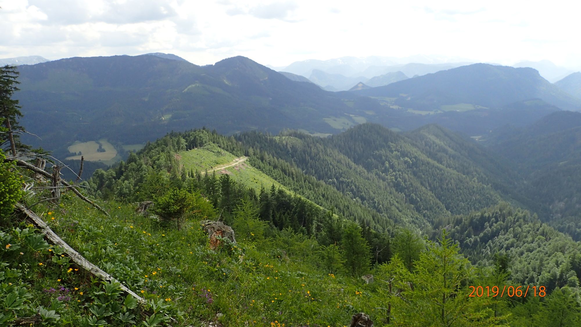
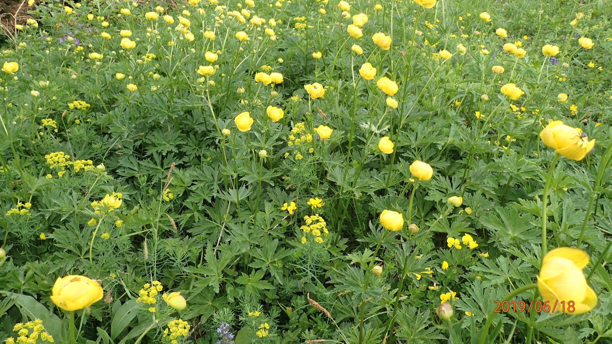
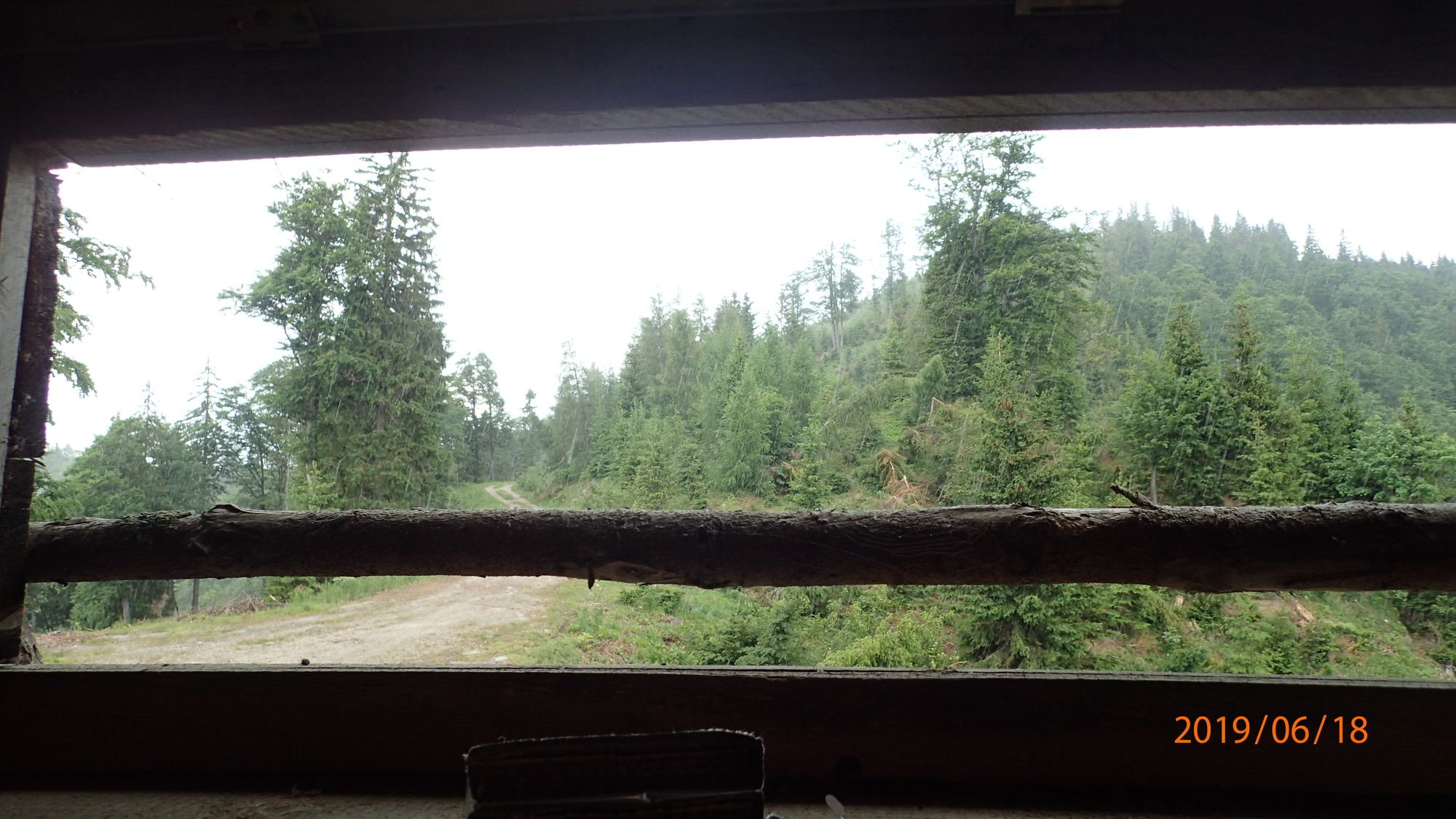
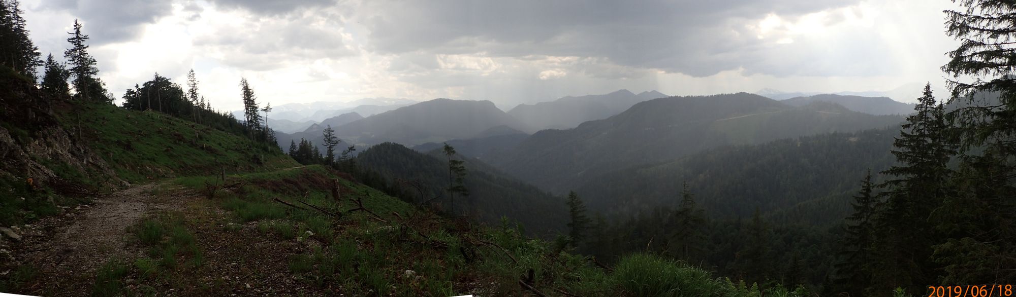
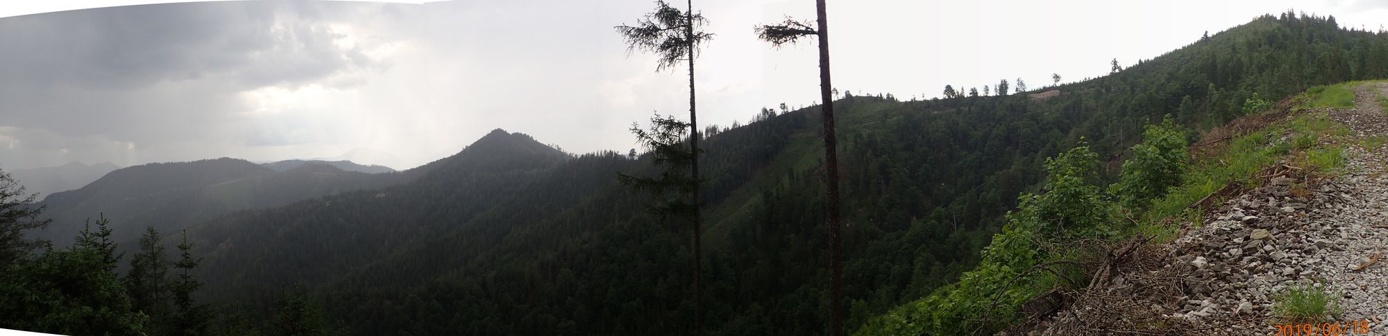
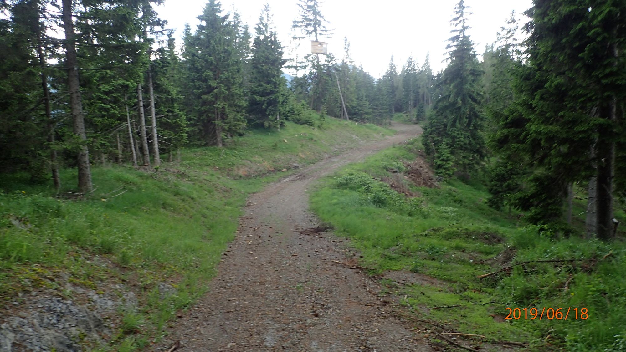
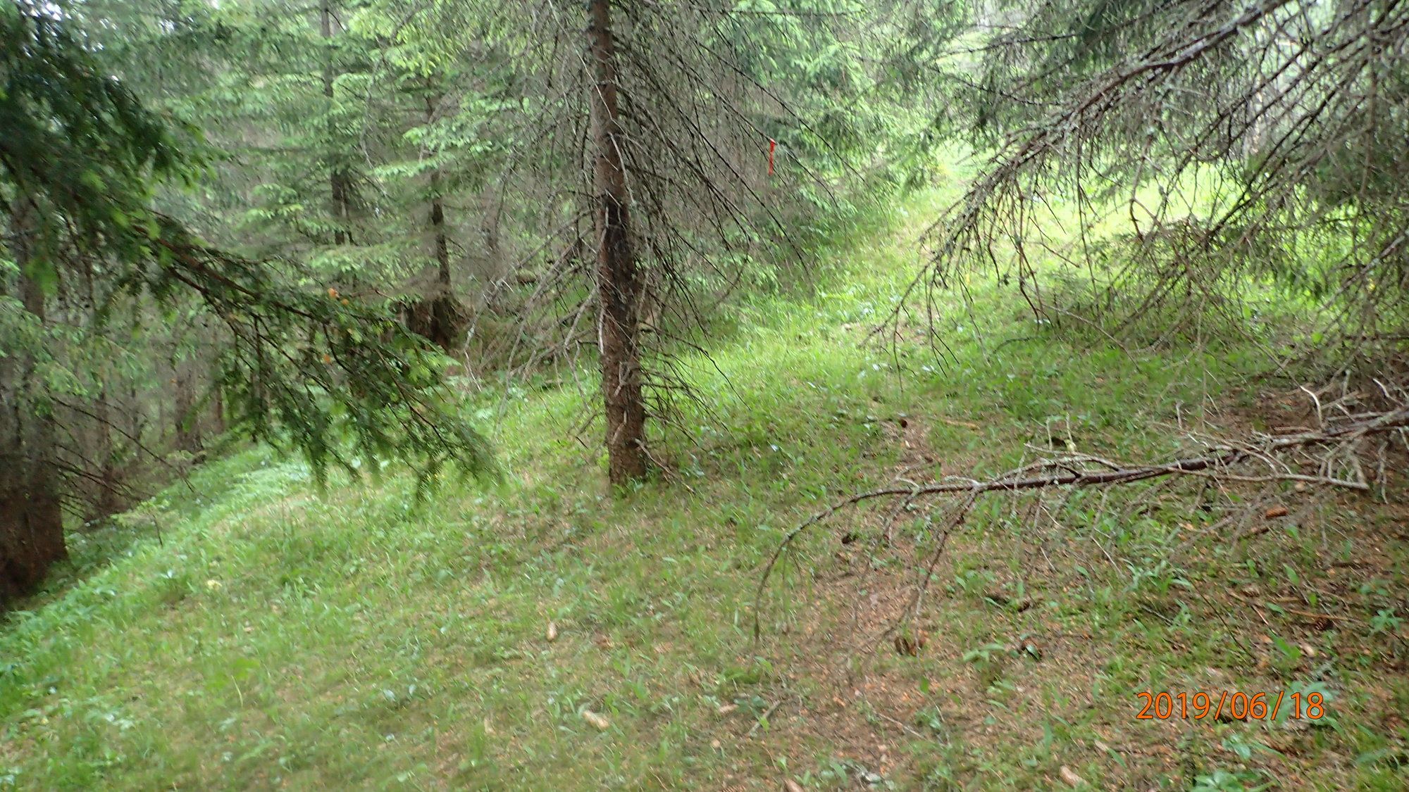
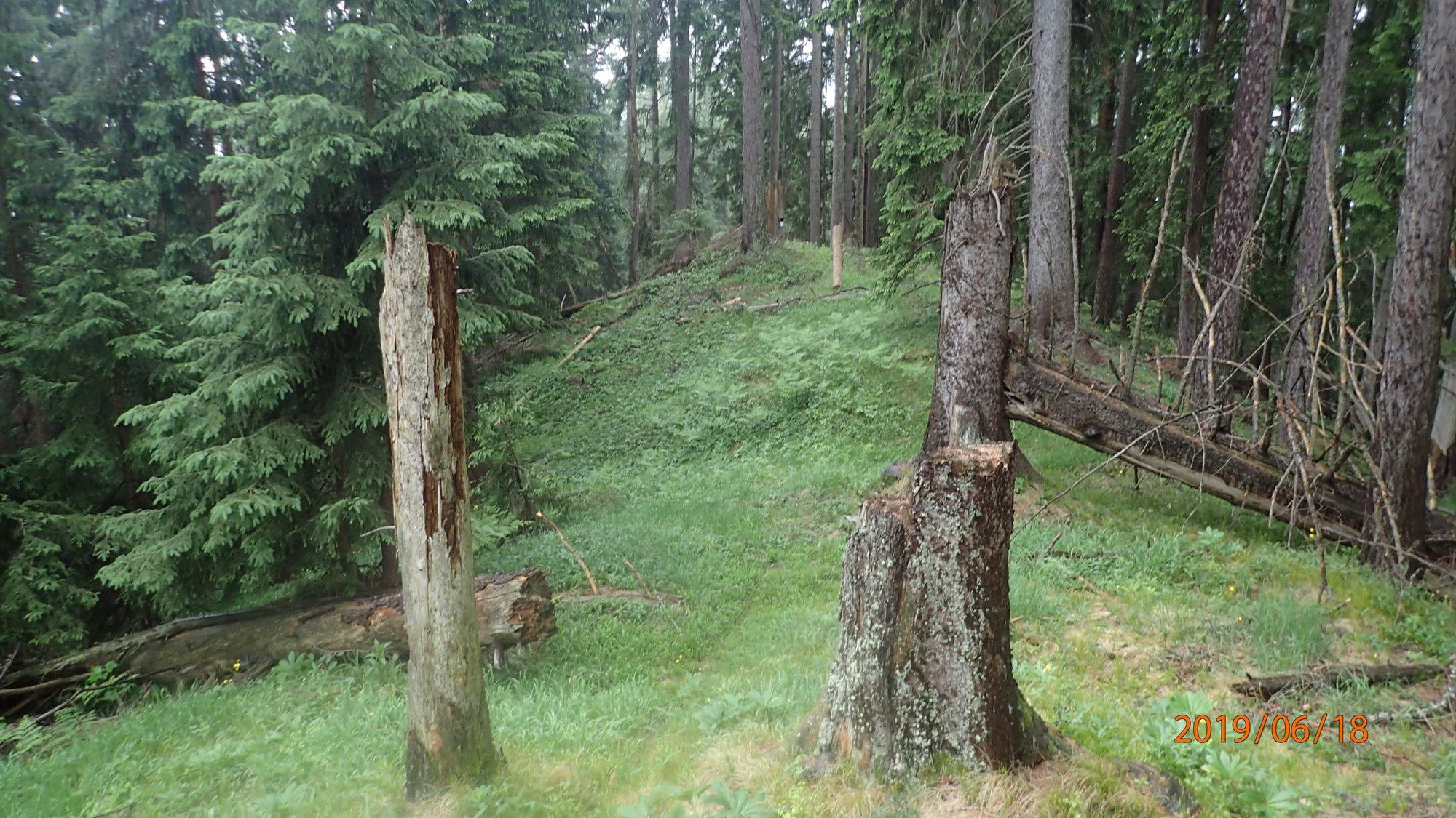
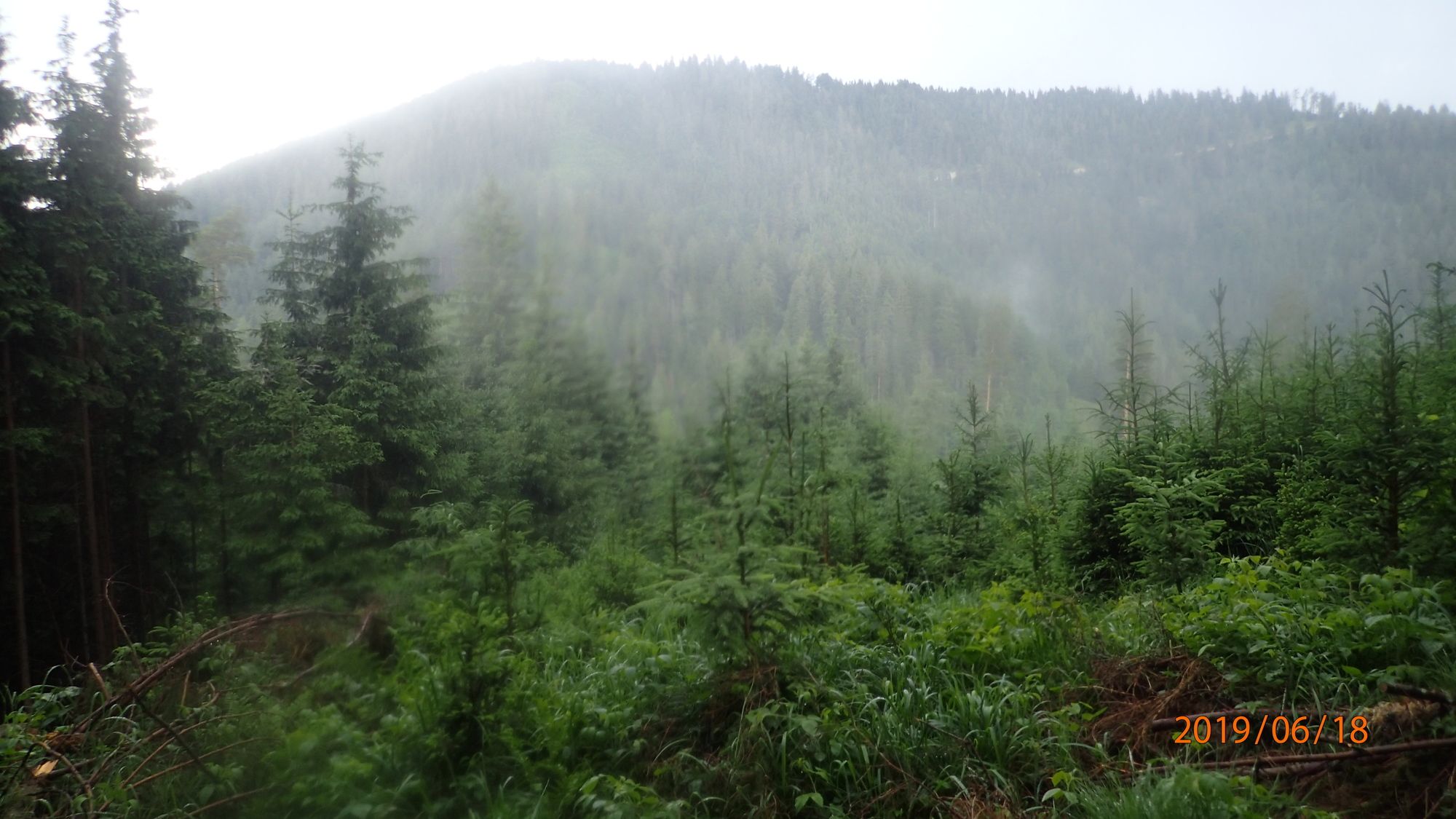
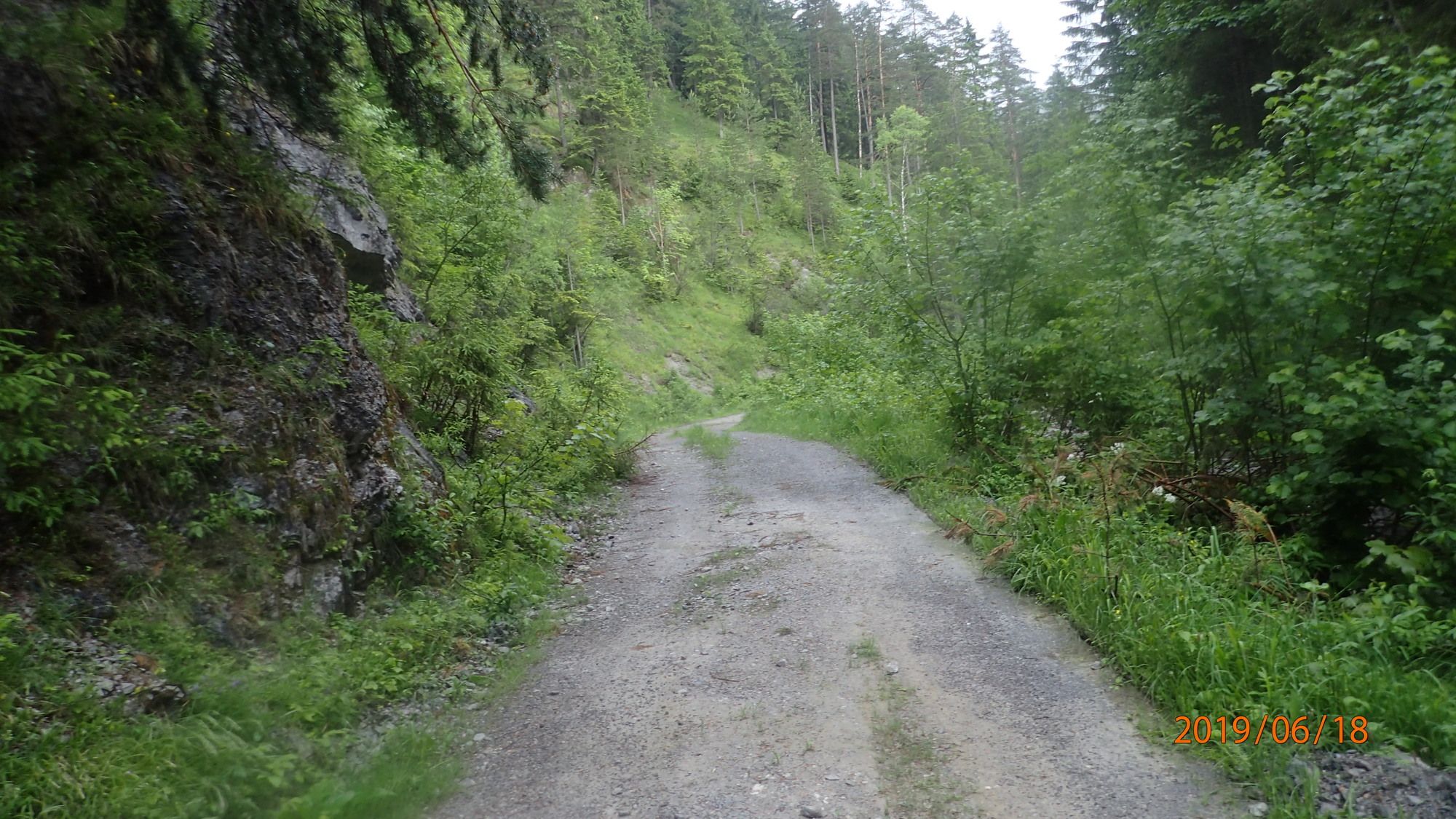
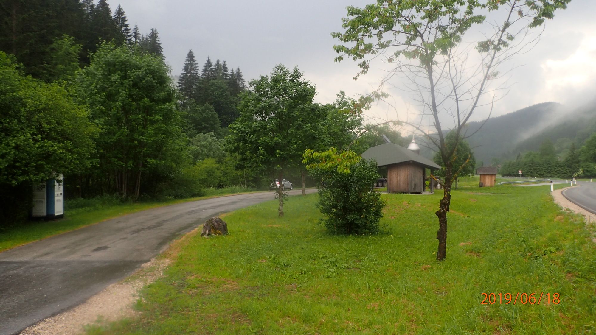
Waldreiche Wanderung über dem Fölzgraben und dem darauf folgenden Riegel hoch auf dem Dreispitz. Dann durch den Wald weglos am Hang entlang etwas zu weit runter bzw. zu weit (vergangen, GPS Navi vergessen) und wieder rauf zum Grachertörl. Weiter auf Forststraßen auf dem Schwarzkogel und über das Lustereck am Kamm bei Regen zurück.
- Difficulty
-
medium
- Rating
-
- Starting point
-
parkendes Auto
- Route
-
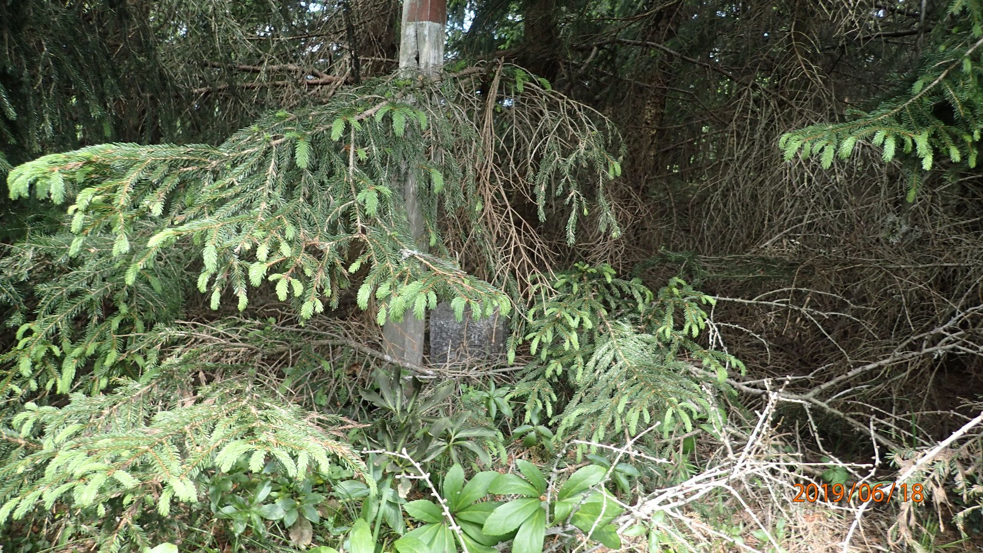
Dreispitz (1,307 m)4.2 kmSchwarzkogel (1,365 m)10.3 kmLustereck (1,152 m)12.2 km
- Best season
-
JanFebMarAprMayJunJulAugSepOctNovDec
- Highest point
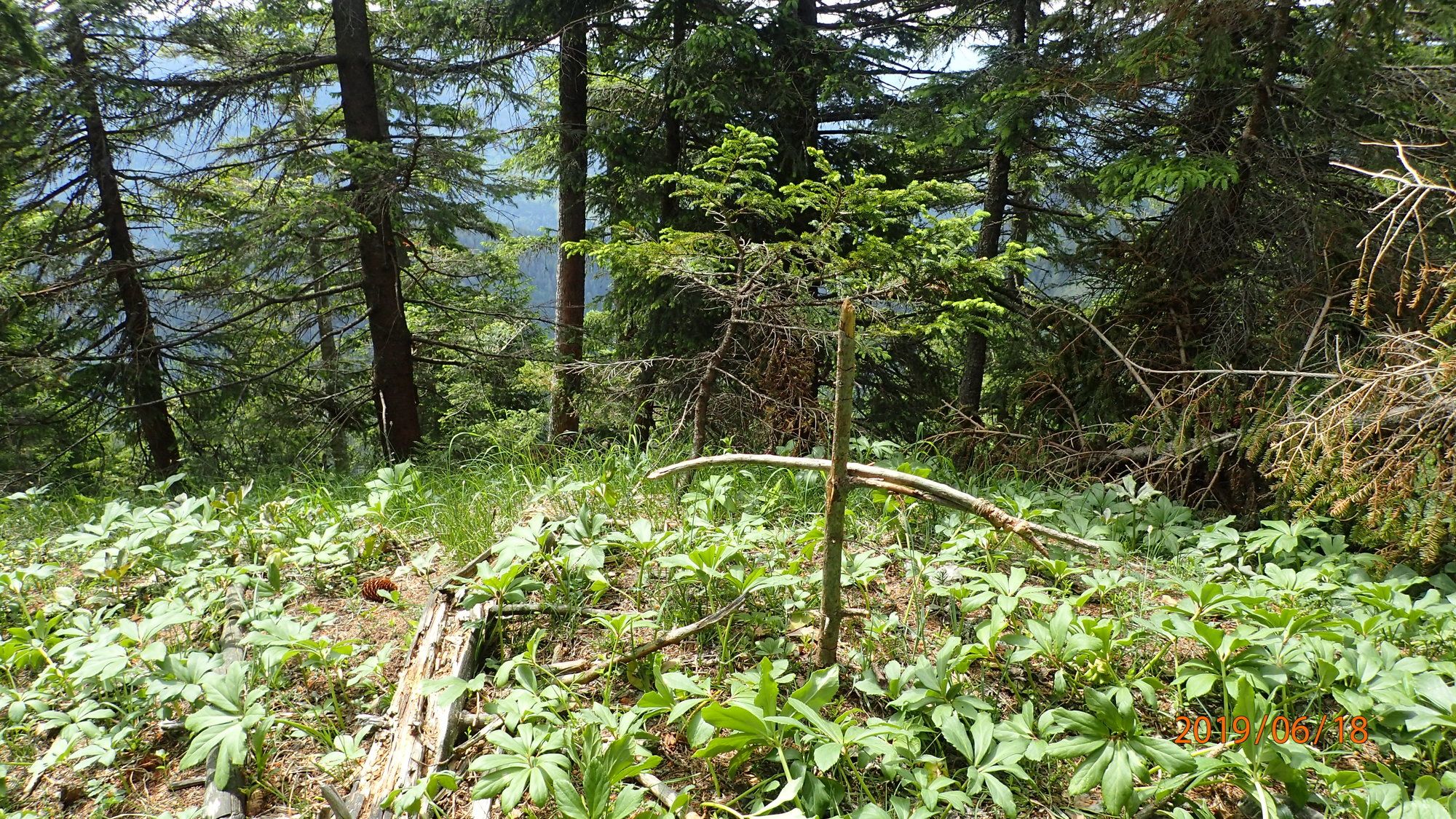
- Schwarzkogel (1,365 m)
- Endpoint
-
Dreispitz, Grachertörl, Schwarzkogel, Lustereck, parkendes Auto
- Rest/Retreat
-
keine Einkehrmöglichkeit
- Ticket material
-
bergfex, amap, kompass, opentopomap


- Source
- Erich Helferstorfer
GPS Downloads


Trail conditions
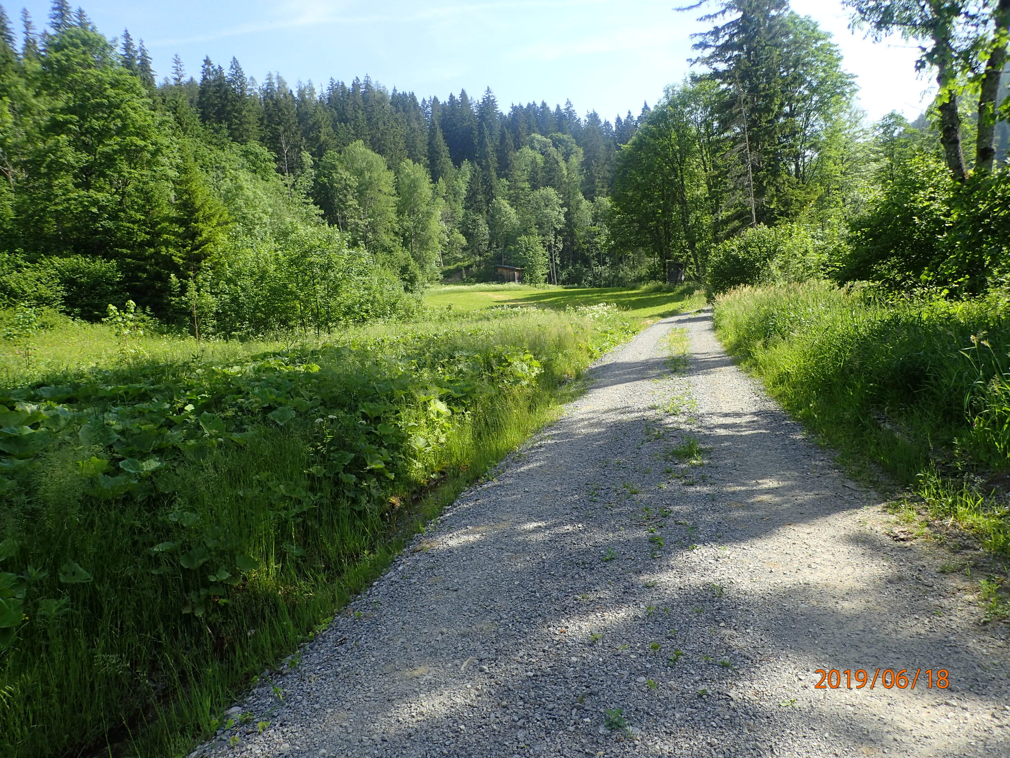
Asphalt
(5%)
Gravel
(85%)
Meadow
(10%)
Forest
(70%)
Rock
Exposed
Other tours in the regions
-
Mostviertel
2454
-
Mariazellerland
1504
-
Halltal
374