© http://www.ksuppan.at/cms/bergtouren/77-teufelssee-wildalpen.html

© http://www.ksuppan.at/cms/bergtouren/77-teufelssee-wildalpen.html

© http://www.ksuppan.at/cms/bergtouren/77-teufelssee-wildalpen.html

© http://www.ksuppan.at/cms/bergtouren/77-teufelssee-wildalpen.html

© http://www.ksuppan.at/cms/bergtouren/77-teufelssee-wildalpen.html

© http://www.ksuppan.at/cms/bergtouren/77-teufelssee-wildalpen.html


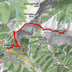
Tour data
10.54km
668
- 1,372m
967hm
06:00h
- Brief description
-
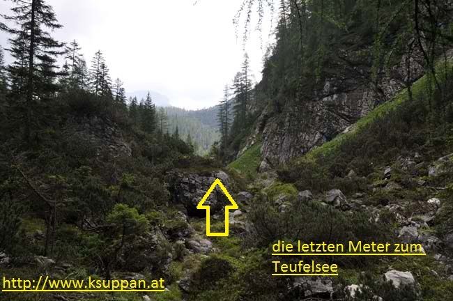
Teufelsee - mittlere Wanderung (hundetauglich - genügend Wasser mitnehmen)
- Difficulty
-
medium
- Rating
-
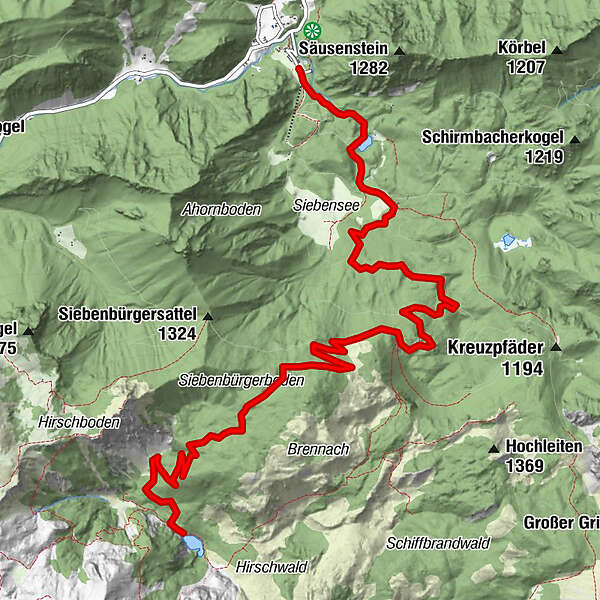
- Starting point
-
Hintere Wildalpen, Winterhöh
- Route
-
Winterhöh
- Best season
-
JanFebMarAprMayJunJulAugSepOctNovDec
- Highest point
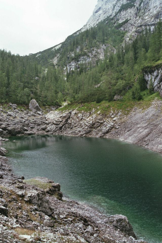
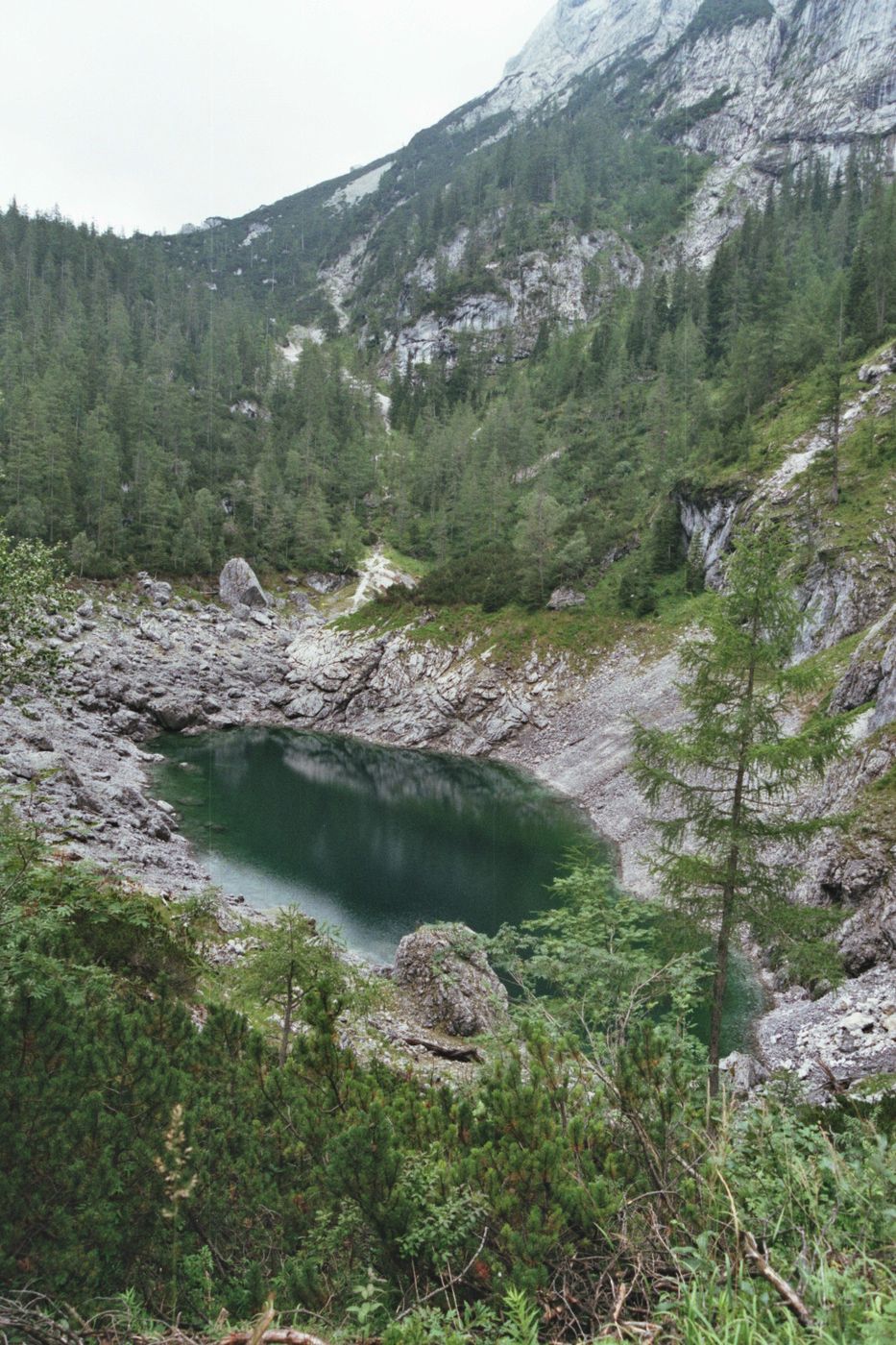
- Teufelsee (1,372 m)
- Endpoint
-
Teufelssee
- Rest/Retreat
-
Keine Einkehrmöglichkeiten vorhanden!
GPS Downloads


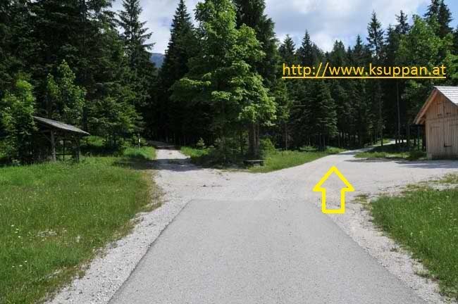
Trail conditions
Asphalt
Gravel
(gr. Anteil)
Meadow
Forest
Rock
Exposed
Other tours in the regions
-
Erzberg Leoben
2529
-
Hochschwab
1272
-
Wildalpen
254