

- Brief description
-
Not too difficult climb, but requires good physical condition, also for families - but at the summit you will be rewarded with a magnificent view!
- Difficulty
-
medium
- Rating
-
- Starting point
-
Klausnerberg saw in Krakauebene
- Route
-
MoosGrazer Hütte3.4 kmSattelkogel (1,896 m)3.5 kmSatteleben (1,870 m)3.7 kmBockleiteneck (2,460 m)6.2 kmRossscharte6.9 kmPreber (2,740 m)7.6 km
- Best season
-
JanFebMarAprMayJunJulAugSepOctNovDec
- Description
-
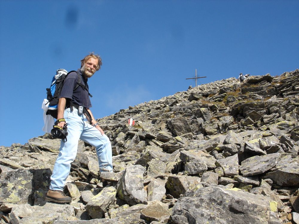
Approx. 200 m after the saw on AV trail 786 to the Grazer Hut (1897 m) AV Hut Graz Section; walking time to the hut: 1.5 hrs.
From the hut along the ridge on AV trail 787 to the summit; walking time 2.5 hrs. - Highest point
- 2,741 m
- Alternatives
-
Ascent from the Lugau side Preberseestraße to the junction Grazer-Hütte (parking possibility)
or from the Prebertal (Moarhütte) - Rest/Retreat
-
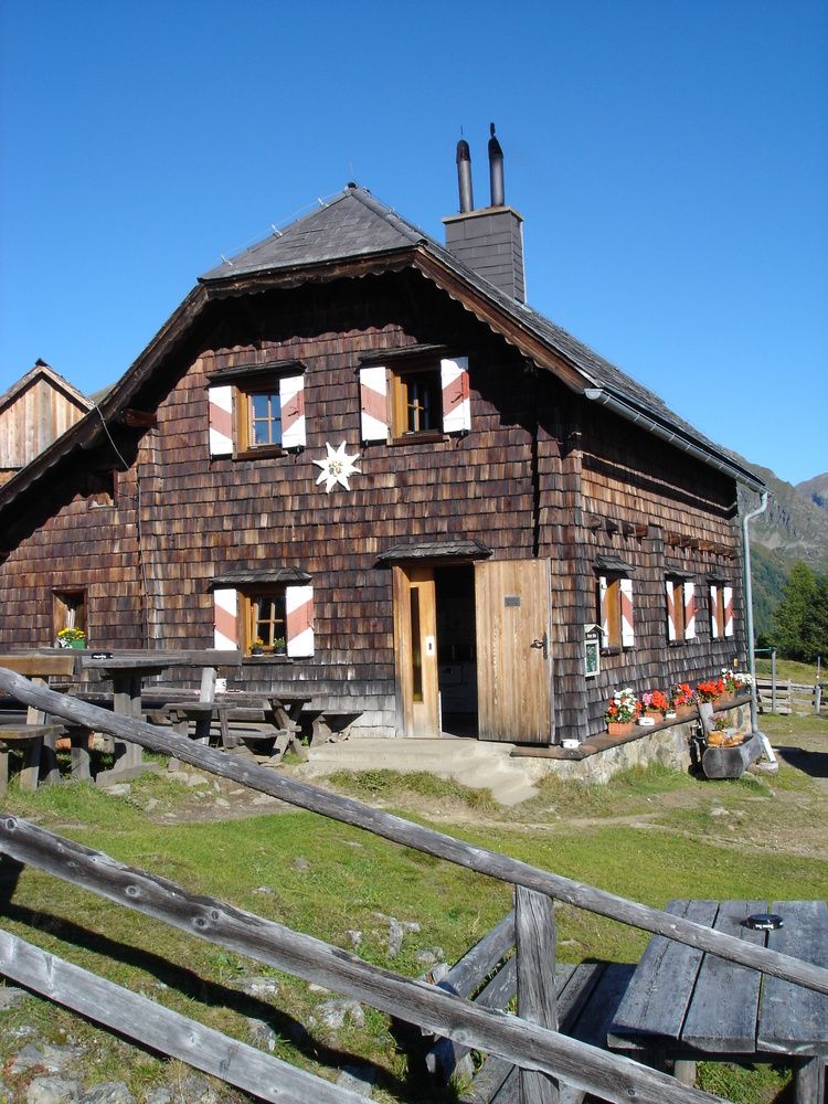
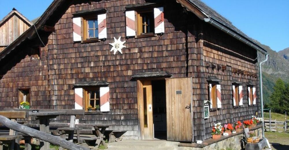
Grazer-hut
- Equipment
-
Good shoes, enough to drink
- Ticket material
- Directions
-
APPROACH FROM THE EAST:
Vienna-Semmering-Bruck-Unzmarkt-Scheifling-Murau-Seebach-KrakowAPPROACH FROM THE WEST:
Munich-Salzburg-Radstadt-from here:Variant 1:
Tauernautobahn A10, exit St. Michael-TamswegVariant 2:
via the Radstätter Tauernpass-Mauterndorf-Tamsweg.
From Tamsweg center: direction Seetal-Seebach, Krakautal