


- Brief description
- Difficulty
-
medium
- Rating
-
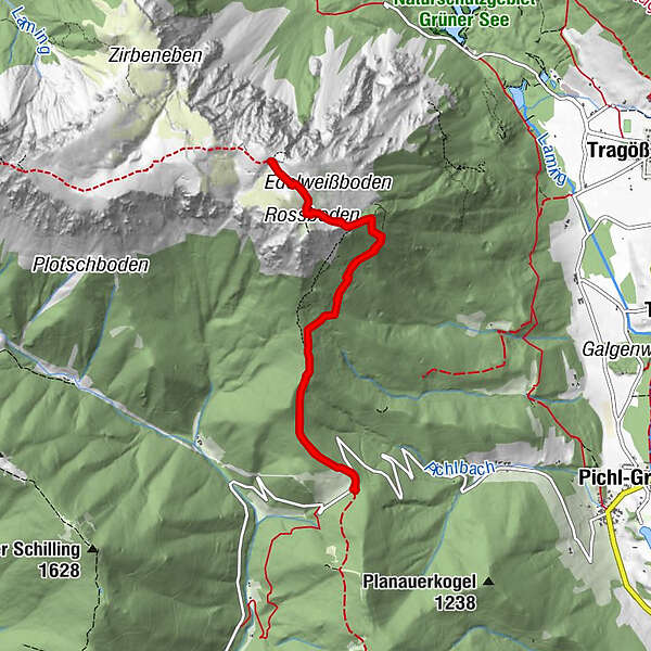
- Starting point
-
Almwirtshaus Hiaslegg
- Route
-
Hiaslegg (1,154 m)0.0 kmGasthaus zum Hiaslegg0.0 kmHiaslegg (1,154 m)8.0 kmGasthaus zum Hiaslegg8.0 km
- Best season
-
JanFebMarAprMayJunJulAugSepOctNovDec
- Description
-
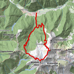
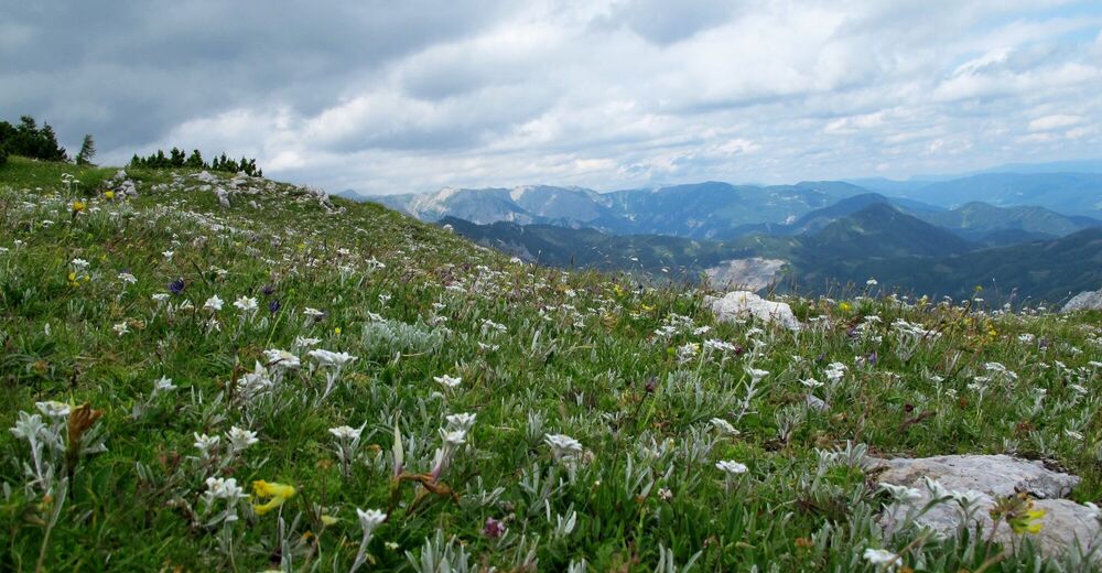
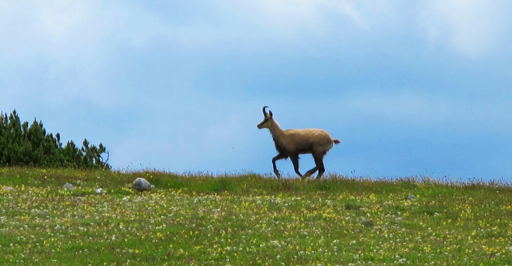
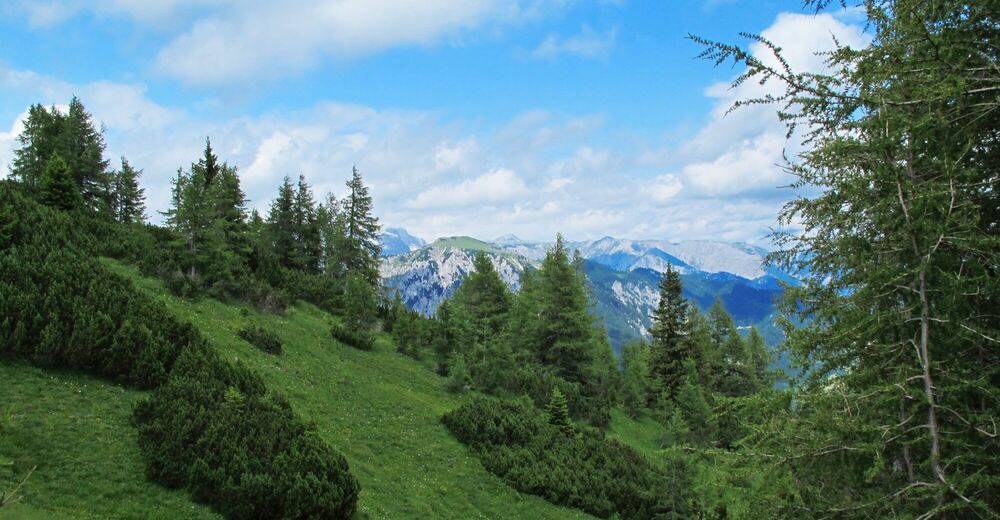
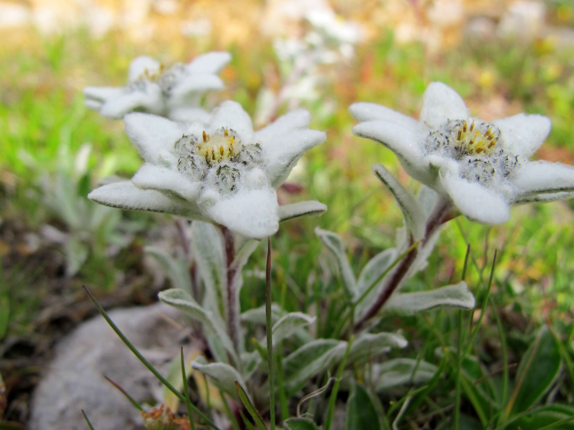
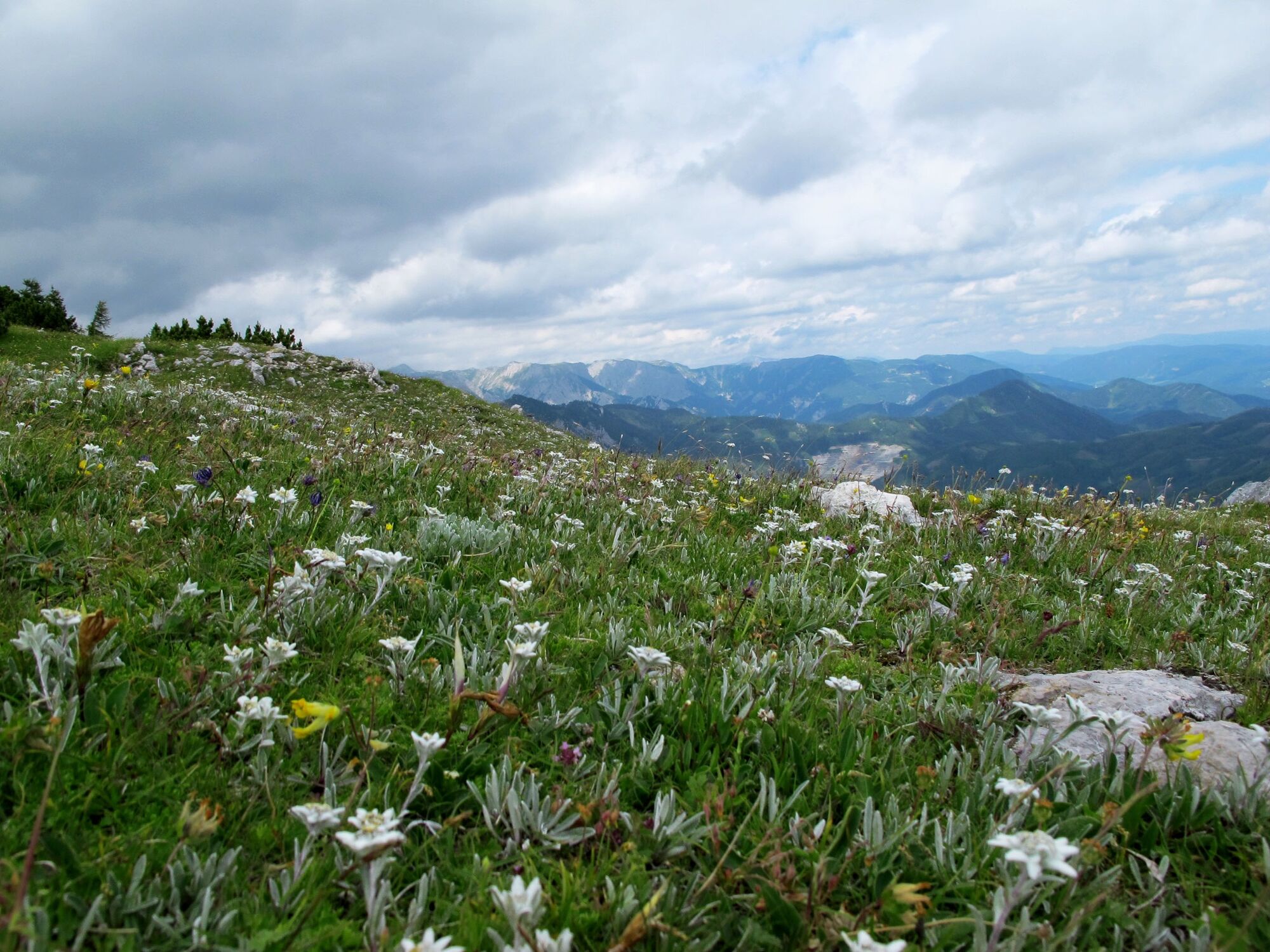
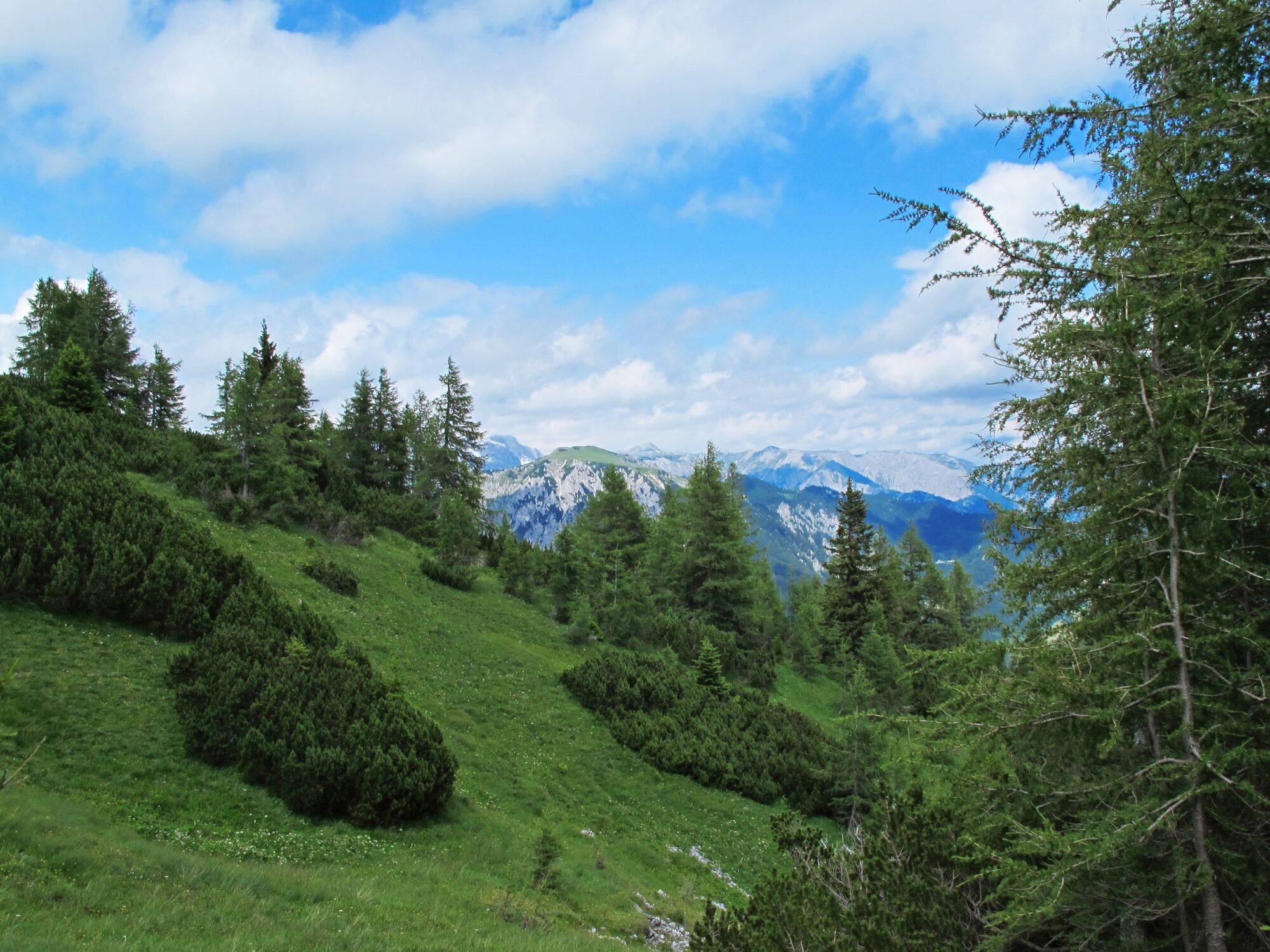
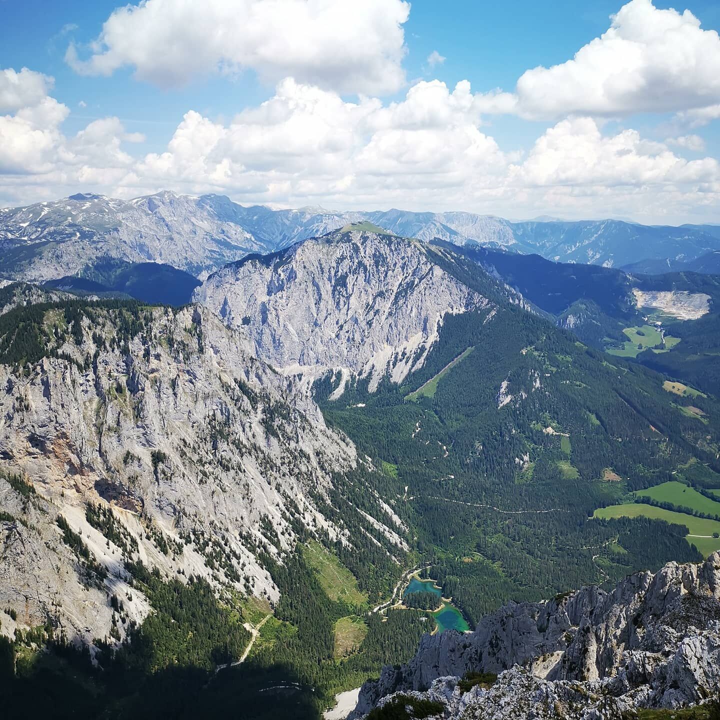
A unique hike in the ERZBERG LEOBEN region to the beautiful natural jewel the Edelweissboden. Here you can experience the blooming of thousands of edelweiss from the end of June to the end of July. A natural spectacle of the special class. From the Edelweissboden you can continue to the summit of the Hochturm, where you can enjoy a wonderful panoramic view of Hochsteiermark and observe the turquoise-blue Green Lake from a bird's eye view.
- Directions
-
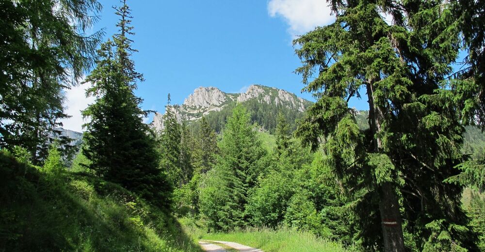
The medium-difficulty mountain hike runs along the marked trail with the number 873. The starting point is the Almwirtshaus Hiaslegg. There is a limited number of paid parking spaces available here. From here northwestward first along a forest road and then through the forest with a short steep climb to Roßboden. Continue through charming alpine pastures and mountain pine islands to Edelweissboden. Continue westwards across the wide plateau with a view of the Grüner See lake near Tragöß, until you reach the summit of the Hochturm. Briefly descending to a saddle, cross this and over Schofen and light rocks northward to the summit cross. Descent as for the ascent.
- Highest point
- 1,816 m
- Endpoint
-
Almwirtshaus Hiaslegg
- Height profile
-

- Equipment
-
Hiking gear with good shoes.
Proper backpacking makes many things easier: Pack heavy things first. The water bottle should always be within easy reach in a side pocket. All things that are often needed, such as sunglasses, camera or hiking map, belong on top. An emergency kit including blister plasters belongs in every rucksack and it is always advisable to put on different layers of clothing.
- Safety instructions
-
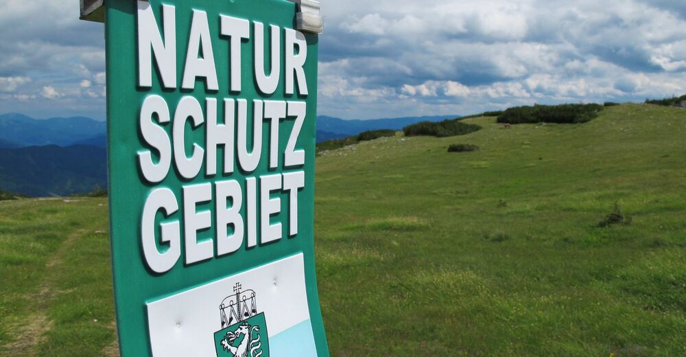
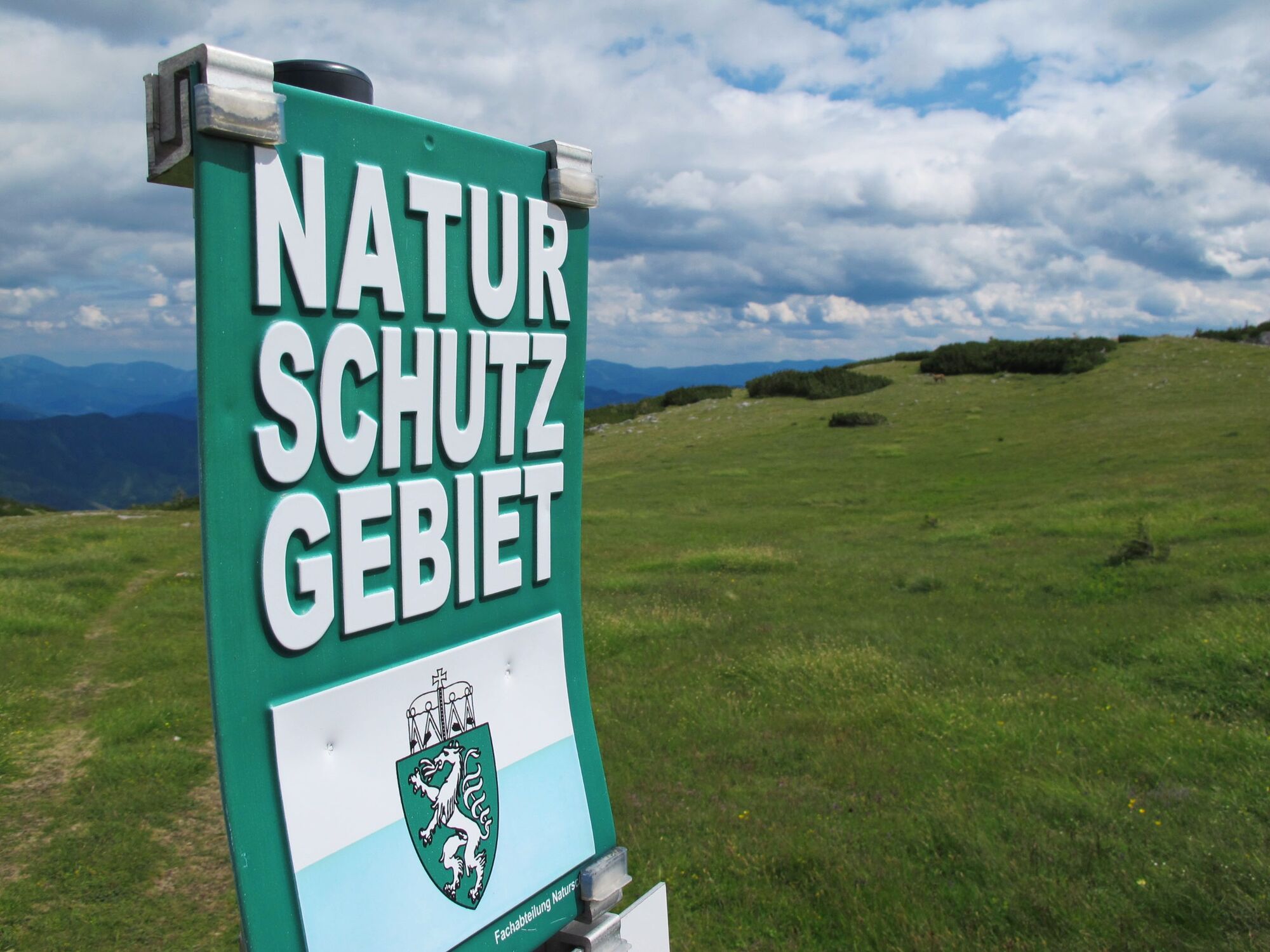
Be sure to hike on the marked trails.
Emergency call rescue: 144
Emergency reporting tip - give answers to six important questions: What happened? How many injured? Where did the accident happen (possibly GPS coordinates)? Who reported the accident (call-back number)? When did the accident happen? Weather at the accident site?
- Tips
-
Stop at the Almwirtshaus Hiaslegg.
- Additional information
- Arrival
-
Coming from Leoben in the direction of Trofaiach (via B115a) or from Eisenerz via Präbichl to Trofaiach (B 115). Follow the forest road along the Rötzgraben to the Hiaslegg. From Buck an der Mur via Tragöß - Großdorf to the Hiaslegg.
- Public transportation
-
only possible to Trofaiach or Bruck an der Mur.
Timetables and travel information can be found directly at: Österreichischen Bundesbahnen (ÖBB), Steiermärkischen Landesbahnen (STLB), www.busbahnbim.at
With the BusBahnBim app of the Verbundlinie, timetable information has never been easier: all bus, train and tram connections in Austria can be queried by entering locations and/or addresses, stops or important points. The app is available as a free app for smartphones (Android, iOS) - on Google Play and in the
- Parking
-
Parking is available directly at the Almwirtshaus Hiaslegg.

- Author
-
The tour Edelweissboden is used by outdooractive.com provided.


General info
-
Erzberg Leoben
2528
-
Hochschwab
1271
-
Tragöß - Grüner See
471