


- Brief description
-
Mountaineering »light« – ride up on the lift, then hike back down. Or maybe hike by the power of your own two feet, from Rohrmoos to the top of the Hochwurzen and back?
- Difficulty
-
medium
- Rating
-
- Starting point
-
Hiking trail head, Hochwurzen valley terminal
- Route
-
Alter Stadl0.1 kmTauernalm0.1 kmHochwurzenhütte3.4 kmHochwurzen (1,849 m)3.4 kmHochwurzenalm3.6 kmKleine Hochwurzen (1,840 m)3.7 kmHüttecksattel (1,744 m)4.2 kmHoo-Ruck Alm Rohrmoos9.3 kmTauernalm11.1 kmAlter Stadl11.1 km
- Best season
-
JanFebMarAprMayJunJulAugSepOctNovDec
- Description
-
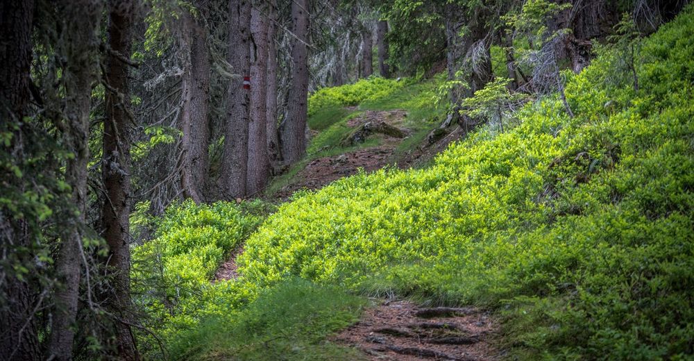
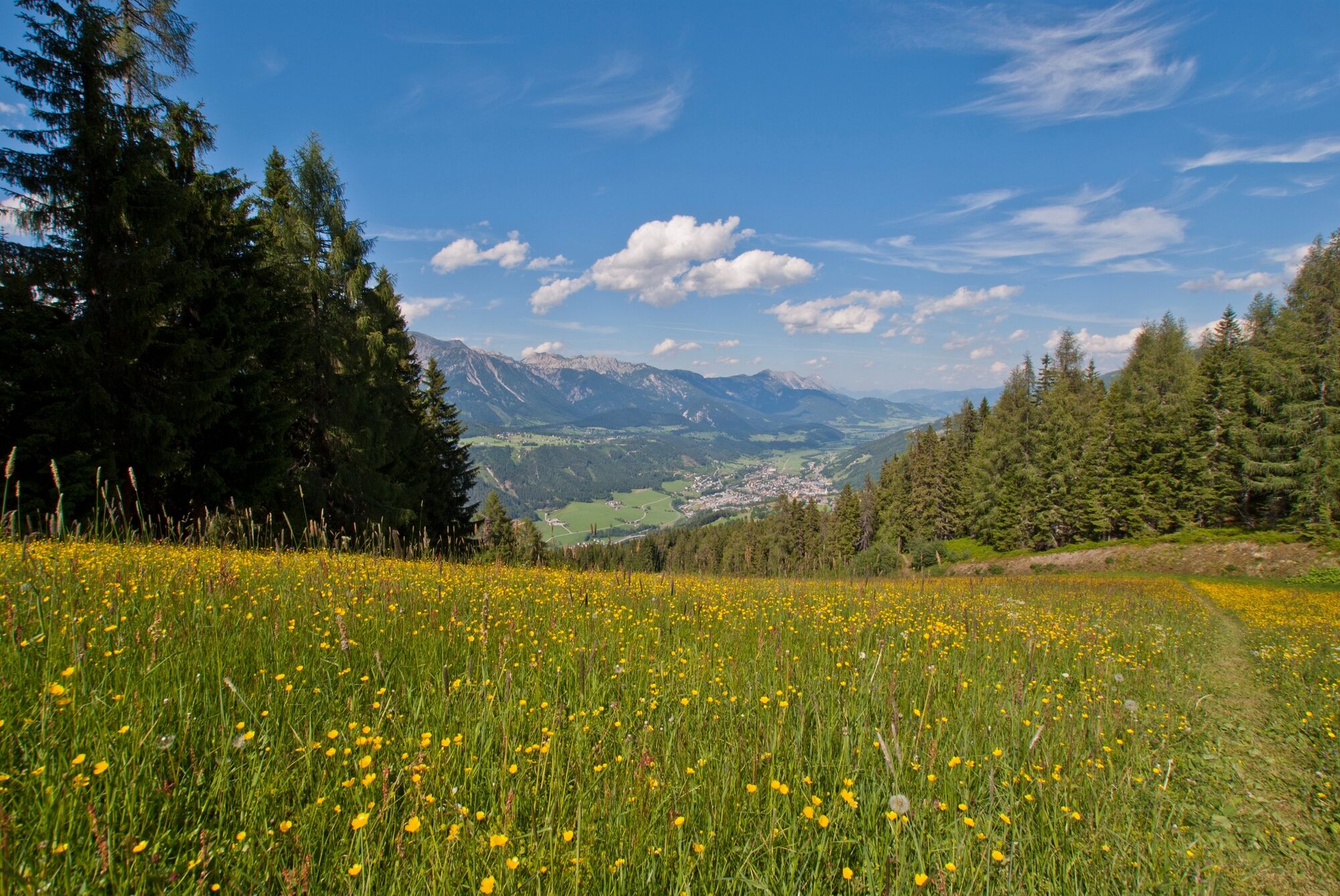
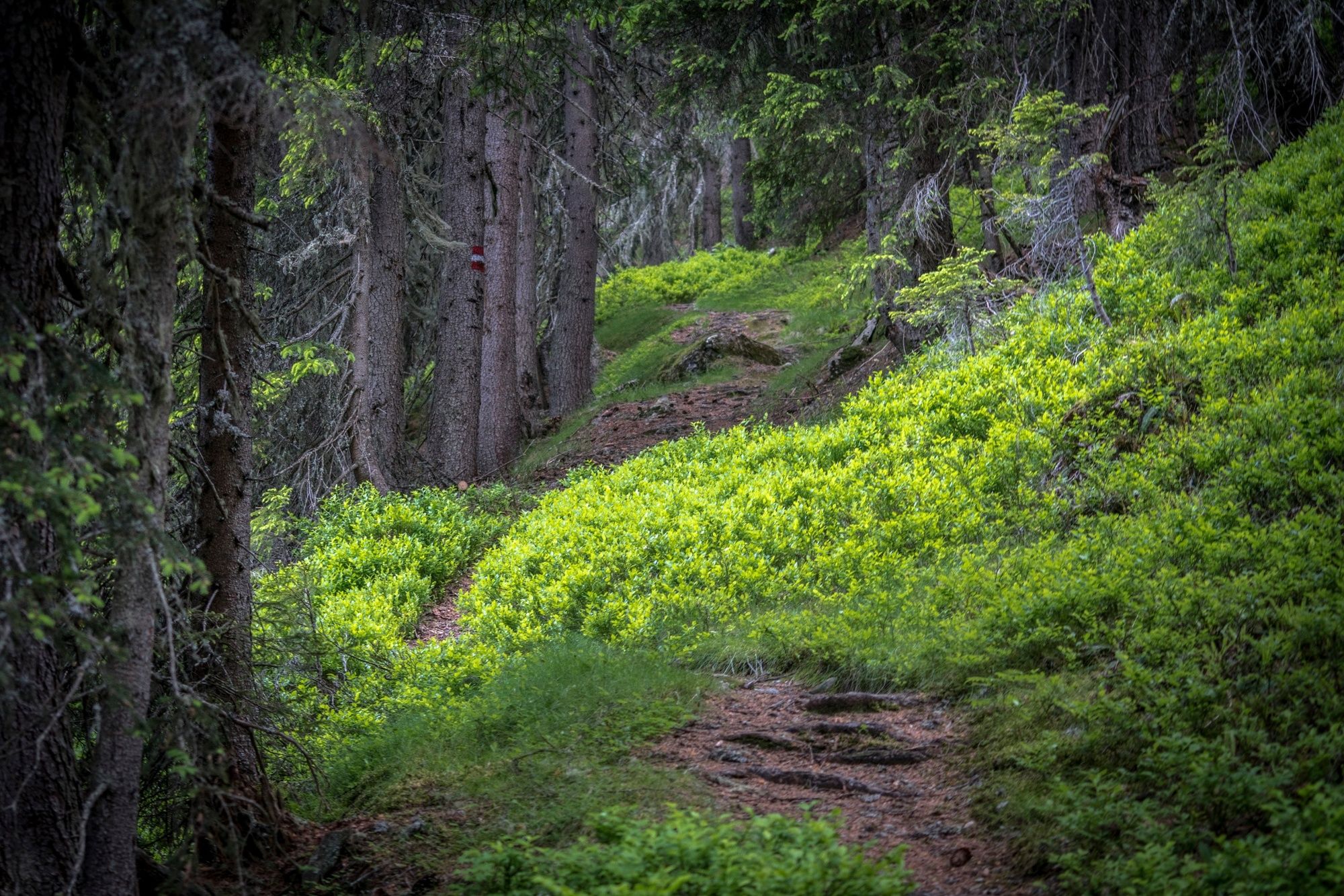
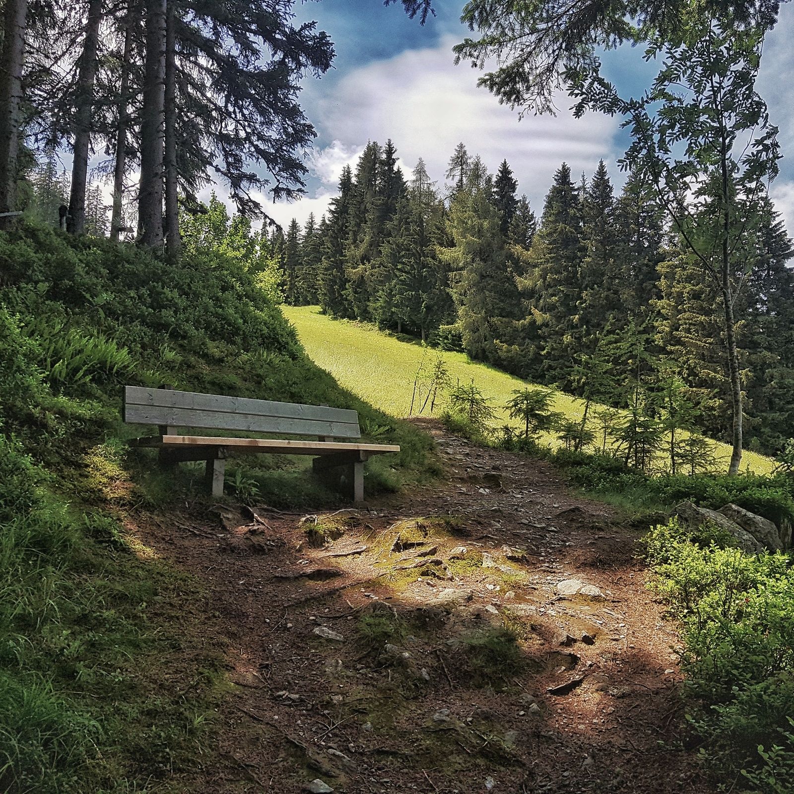
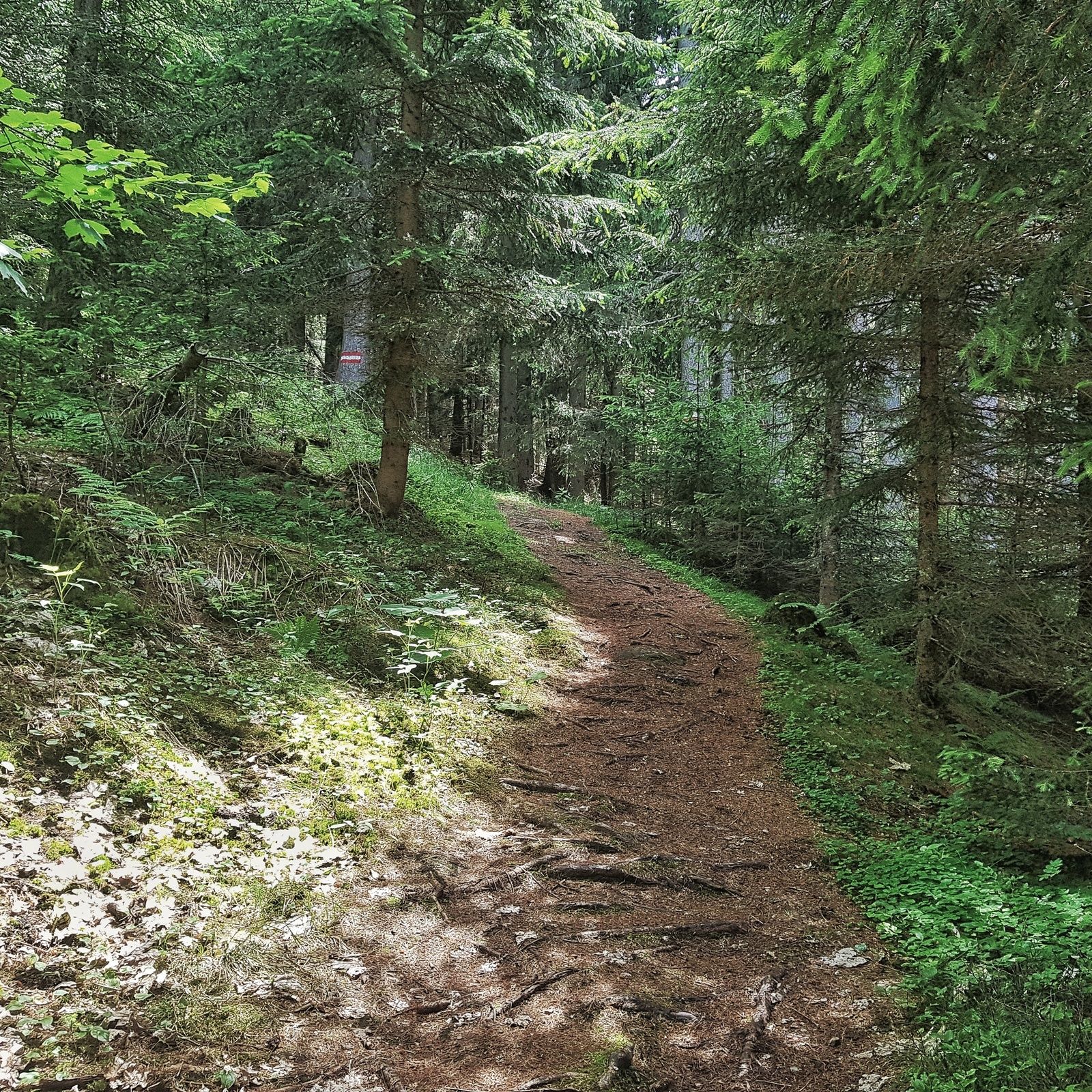
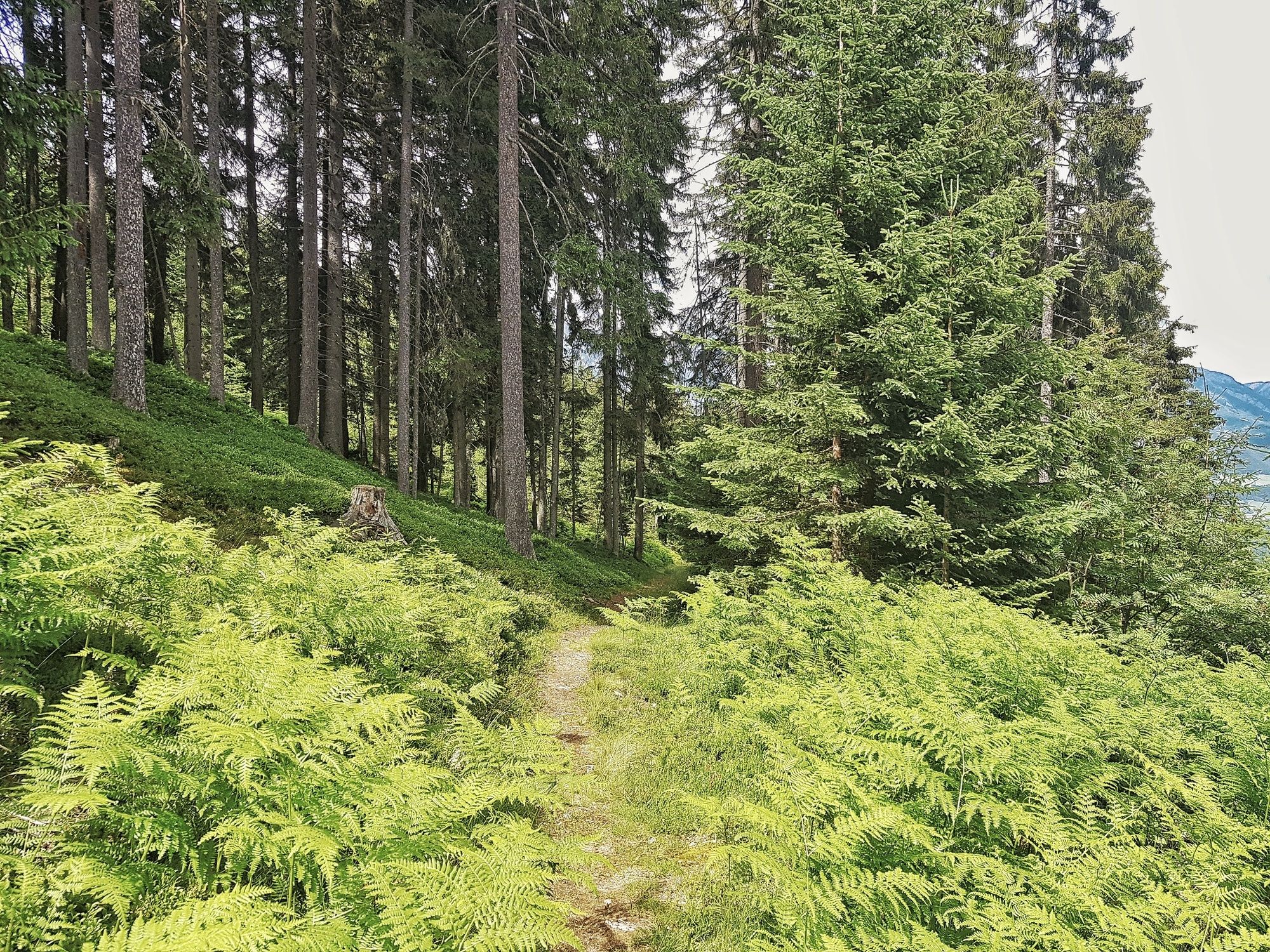
For a hike to Hochwurzen and back there a several possibilities. Probably the nicest one is trail n° 60, which is a beautiful forest and meadow trail. Trail n° 61 is a bit more direct but also steeper. For the way back into the valley we recommend the 4-seasons trail which is also suitable for prams.
Trail characteristics:
occasionally steep forest path, forest road
Restaurants:
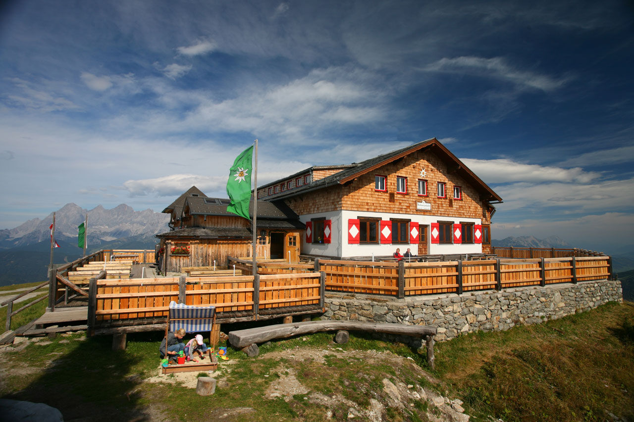
Hochwurzen Hütte, Familienhotel Austria
- Directions
-
From the hiking trail head you set out West along trail n° 60 which turns off into the forest at the mountain terminal of the chairlift "Rohrmoos II" (only operates in winter). Through beautiful forest sections and over clearings and meadows you hike up the mountain along a nice meadow and forest trail. After 2 more turns on the "ski piste" just below the mountain terminal the ascent is over :)
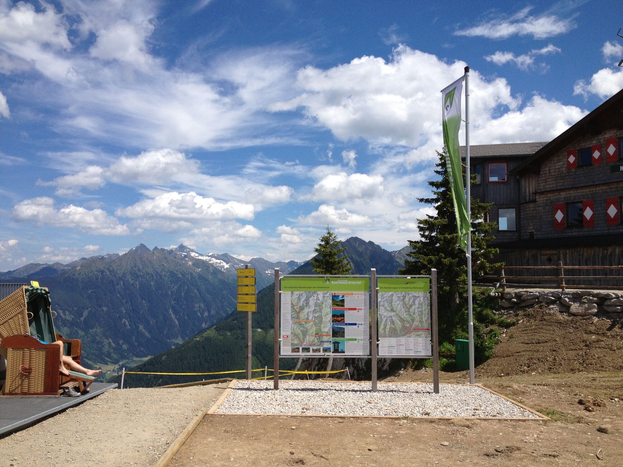
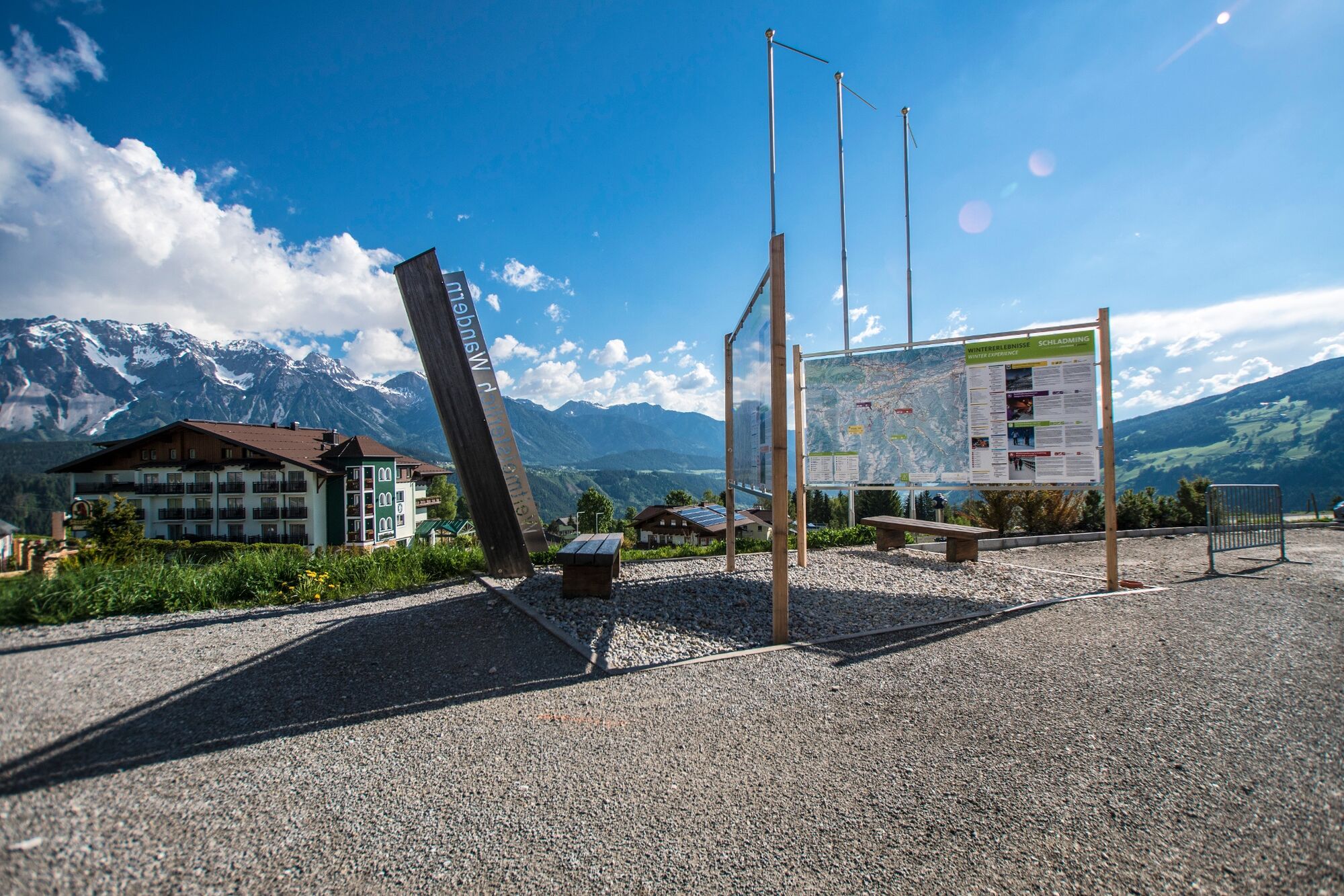
Directly on top of the mountain Hochwurzenhütte chalet invites for drinks and a snack to eat. From the summit you enjoy a great view into the Schladminger Tauern mountains, over the Ennstal valley, the plateau of Ramsau and the impressive Dachstein massif. From the summit you have the choice to take the cable-car for the way down or one of three hiking trails (n° 60, n° 61 or the 4-seasons trail).
- Highest point
- 1,835 m
- Endpoint
-
Hiking trail head, Hochwurzen valley terminal
- Height profile
-

- Equipment
-
A well-packed backpack is helpful and especially when touring Alpine terrain a tuque, gloves, a windproof jacket and pants are standard equipment. Good, waterproof shoes, sun glasses, sun cream and sufficient beverages are essential too. Torch light, a map of the area, knie and a small first-aid kit should also be in the backpack.
- Safety instructions
-
Changes in weather patterns, quick falls in temperature, thunderstorms, wind, fog and snow are some of the dangers that can be encountered on a hiking tour. Hosts of alpine huts and mountain refuges have a lot of experience in the mountains and can give good advice about weather and the trails. Poor equipment, overestimation of one's own capabilities, carelessness, poor personal constitution and/or wrong judgement can lead to critical situations. In case of thunderstorms: avoid summits, ridges and steel ropes.
GPS data and orienteering
Available GPS data - just like hiking maps - is only a guidance for orientation and can never depict a trail exactly with all its details. Especially at dangerous spots it is essential to judge on site how to proceed.
In an emergency please call:
140 - for Alpine emergencies (all over Austria) 112 - European GSM emergency number - Tips
-
In winter the Hochwurzenstraße road is a toboggan run, in summer you can also rent a Mountain Gokart for your way back down the mountain.
- Additional information
- Directions
-
From Schladming take provincial highway L722 (Rohrmoosstraße road) to Rohrmoos and at the roundabout continue straight on until you reach the valley terminal of the Gipfelbahn Hochwurzen cable-car. Here is the hiking trail head for this tour.
- Public transportation
- Parking
-
Car parking is available at the valley terminal of the cable-car.


-

-
AuthorThe tour The Hochwurzen Tour is used by outdooractive.com provided.


General info
-
Schladming - Dachstein
2996
-
Ramsau am Dachstein
1696
-
Pichl
526


