From the Gesäuse National Park via the Ennstalerhütte into the Eisenwurzen Nature Park


- Brief description
-
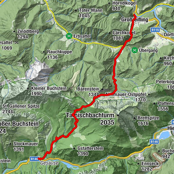
From Gstatterboden on route no. 646 in 3 h
from Gasthof Schnabl in Erb through the Tamischbachgraben on trail no. 646 in 2.5 h
Transition/Summit/Tours:
Tamischbachturm (2,035 m): trail no. 648, 1.5 h
Tieflimauer (1,820 m): trail no. 645, 2 h or via "Teufelssteig" (B-C), 2.5 h
Kl. Buchstein (1,990 m): trail no. 645, 3.5 h, summit area II
Open from 15 May - end of October!
- Difficulty
-
medium
- Rating
-
- Starting point
-
Gstatterboden or trainstationGroßreifling
- Route
-
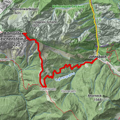
Gstatterboden0.0 kmHubertuskapelle0.2 kmKropfbründl2.7 kmGroßreifling13.2 kmFilialkirche Hl. Nikolaus13.4 km
- Best season
-
JanFebMarAprMayJunJulAugSepOctNovDec
- Description
-
All-day hike suitable for families, also suitable for fit children
- Directions
-
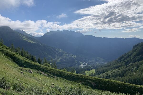
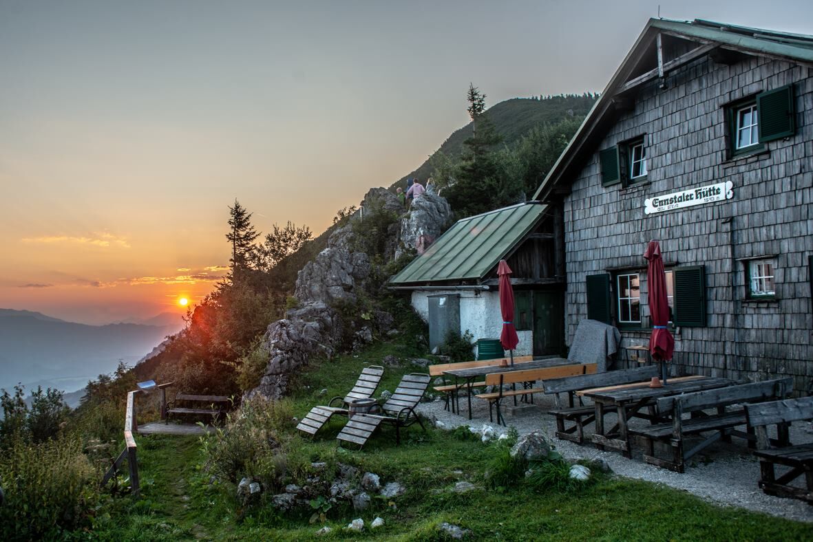
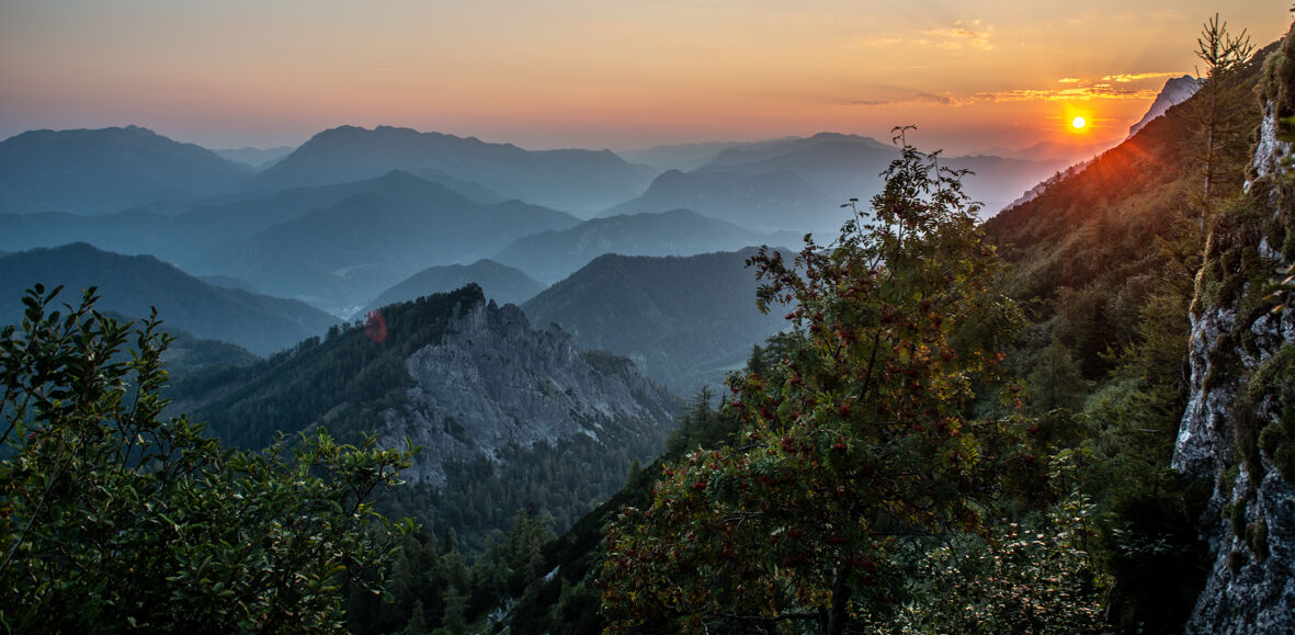
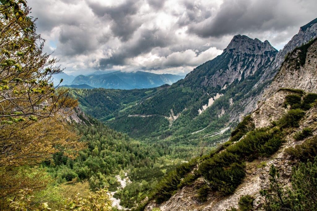
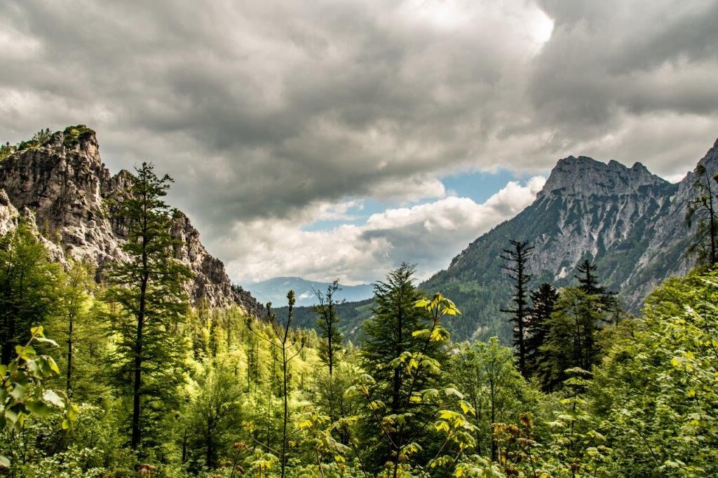
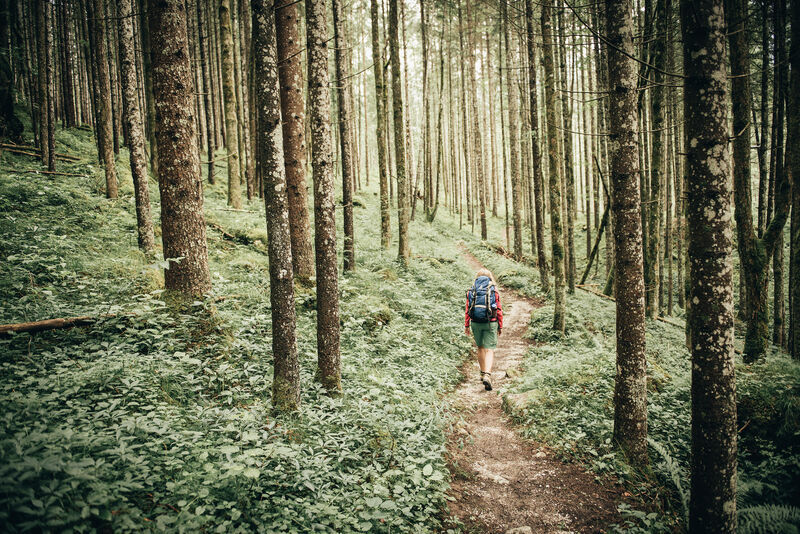
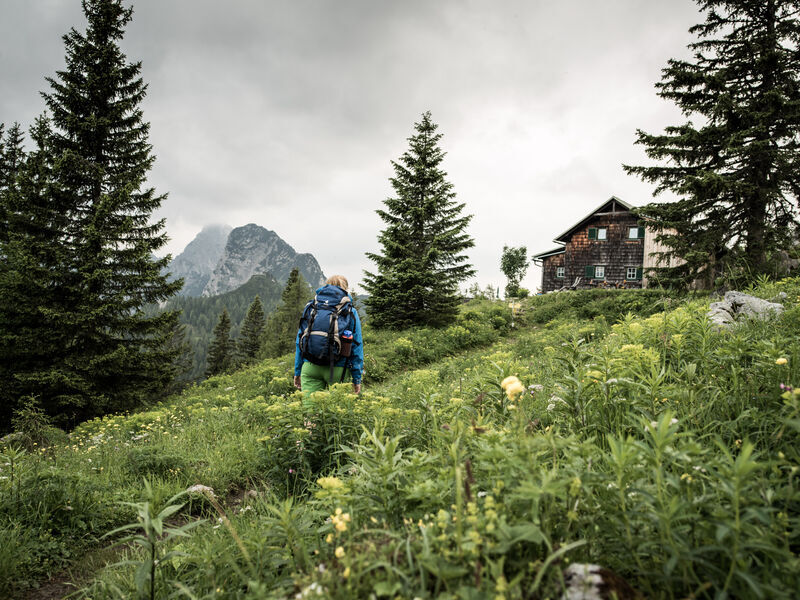
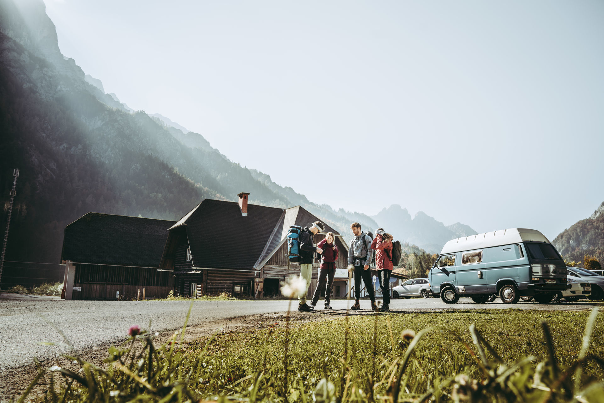
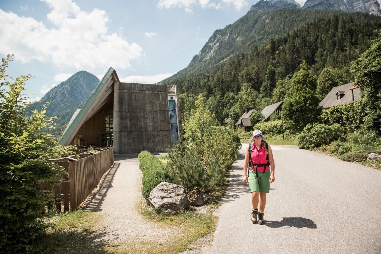
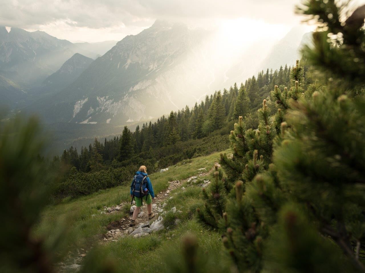
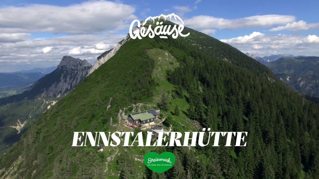
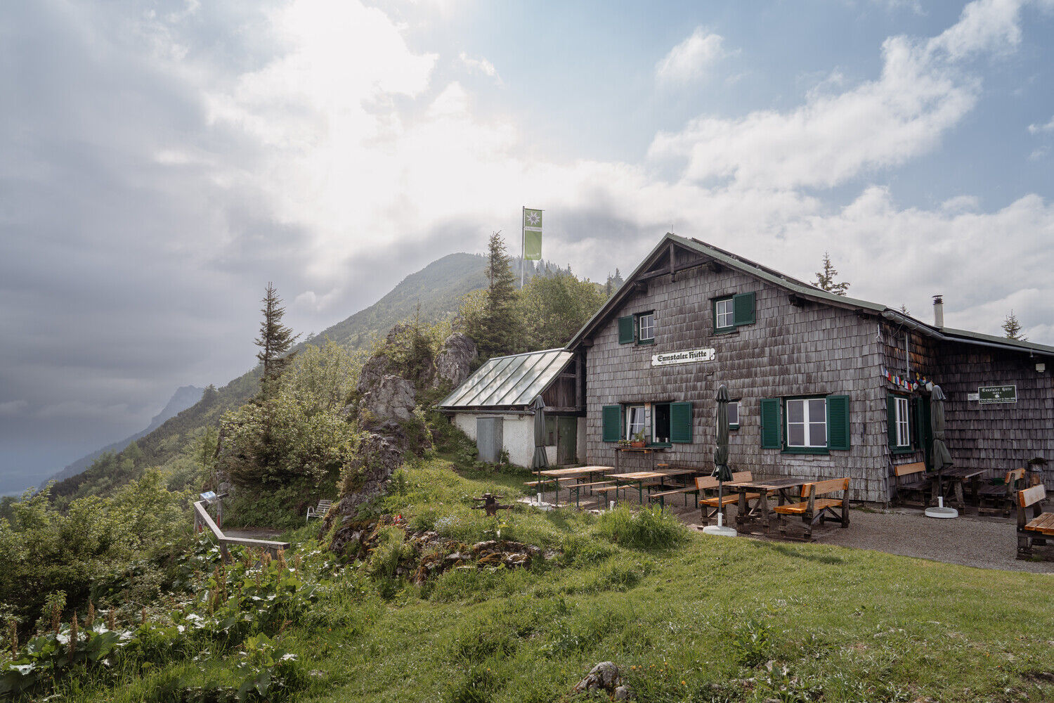
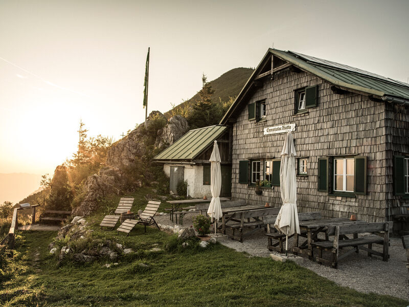
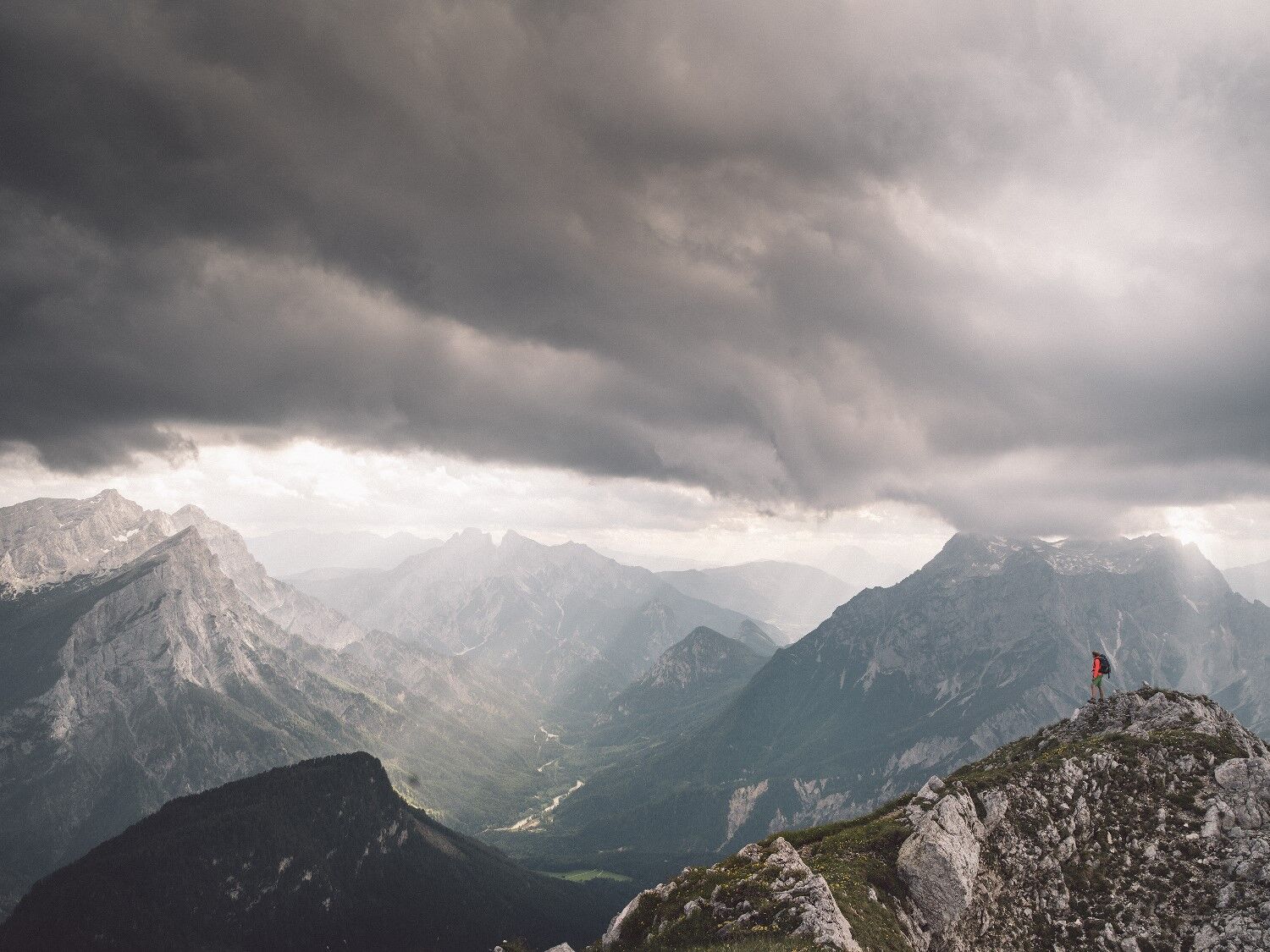
We walk from the parking lot at the train station or NP pavilion towards Hubertus chapel on a path until we reach a forest road. We follow this road past the Gstatterbodenbauer, a former hunting lodge which now houses holiday apartments (tip: especially romantic in autumn during the "deer rut"). Near the Kroissenalm we turn left towards the Niederscheibenalm. Finally we reach the bottom station of the material cable car. From here the path leads uphill, past the Butterbründl and you can already see the Ennstaler Hütte through the forest. A magnificent view awaits us on the terrace, on one side of the Buchstein massif and on the other side of the valley towards Erbsattel. We take the way back over the Bärensattel - enjoy the landscape at the Aussichtsbankerl - at times quite steeply downhill until we reach the forest road. Either we have parked a car here, then we have reached our destination, we hike on to the GH Schnabl at the Erbsattel road, which invites to stop for a break. Up to the station Großreifling we have to follow the Erbsattelstraße.
- Highest point
- 1,502 m
- Endpoint
-
Ennstalerhütte
- Height profile
-

- Equipment
-
Hiking boots or good trekking shoes, as well as a hiking rucksack with appropriate contents (water bottle, blister plaster, hiking map, snack, etc.).
You should also be well prepared for a change of weather.
If you want to go via ferrata: via ferrata set and rockfall helmet.
- Safety instructions
-
no particular difficulties
- Tips
-
spend the night at the Ennstal Hut and the next day connect the Tamischbach Tower (easy tour) in 1 1/2 hours
or the Tieflimauer on the normal route (difficult tour) or the Teufelsteig via ferrata
- Additional information
- Directions
-
B 146 Gesaeuse main road from Admont or Hieflau to Gstatterboden
- Public transportation
-
Gstatterboden: Bus journey with the integrated bus line G912 Admont - Gstatterboden railway station - direction Hieflau
Train journey: Amstetten - Weißenbach-St. Gallen, continue by taxi to the entrance of the hiking trail at Gasthof Schnabl, trail no. 646
Großreifling: Bus journey with the integrated bus line 923 Göstling/ Ybbs (NÖ) - Palfau - Großreifling - 1/2 hour walk to Gasthof Schnabl, trail no. 646Großreifling: by train (only SA and SO possible), otherwise Postbus line 912
Timetable at www.busbahnbim.at
- Parking
-
Car park Gstatterboden
Car park Tamischbach
Car park trainstation Großreifling
-

-
AuthorThe tour From the Gesäuse National Park via the Ennstalerhütte into the Eisenwurzen Nature Park is used by outdooractive.com provided.


General info
-
Gesäuse
2225
-
Steyr und die Nationalpark Region
1371
-
Landl
180


 & Kaiserschild (rechts)")