
- Brief description
-
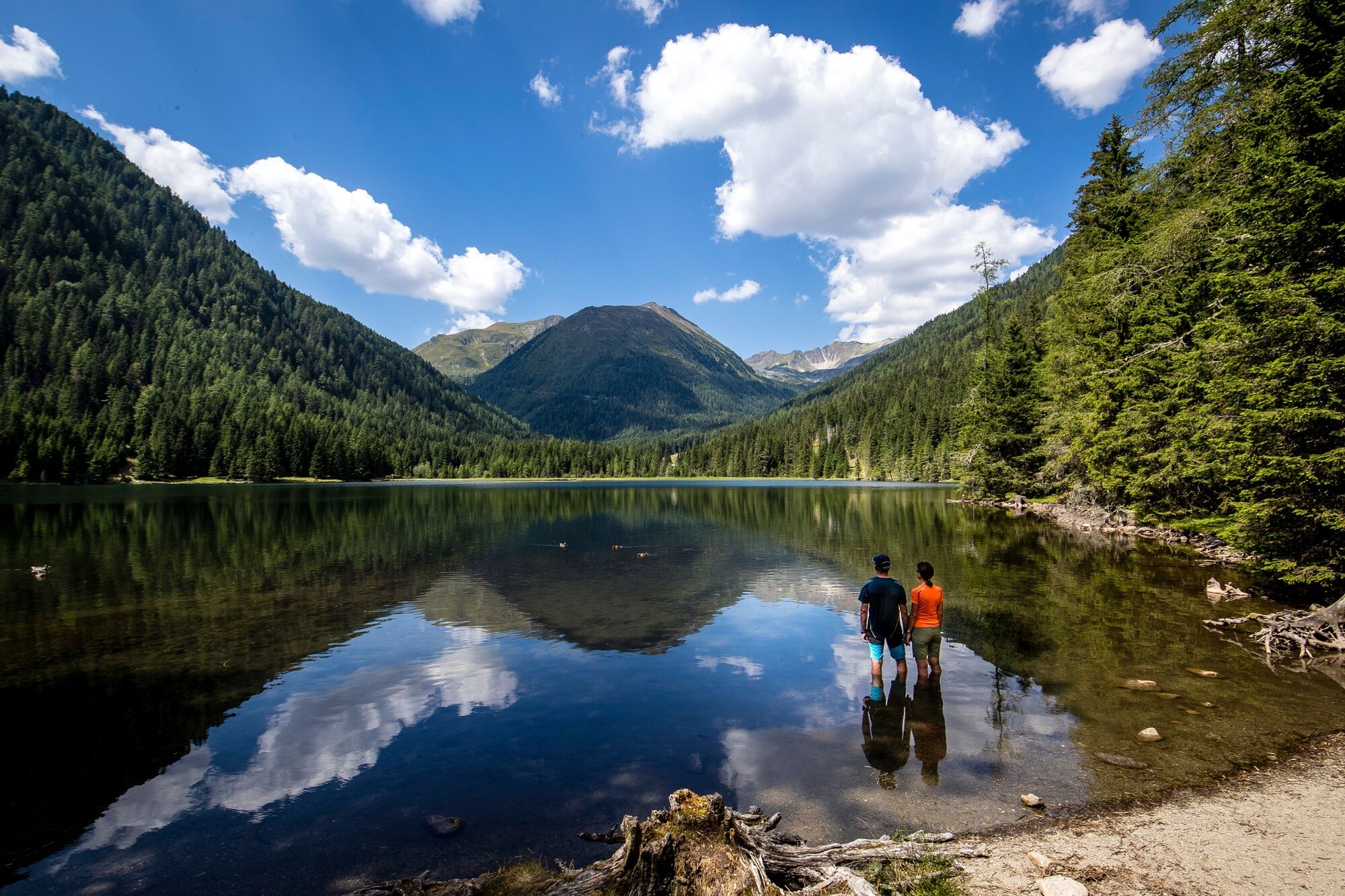
This is a moderately difficult tour, with a fantastic panoramic vie
- Difficulty
-
medium
- Rating
-
- Starting point
-
Etrachsee
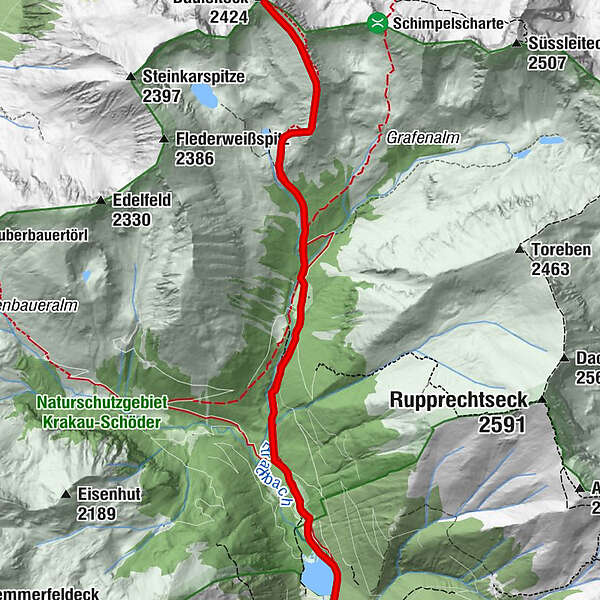
- Route
-
Forellenstation EtrachseeRudolf-Schober-Hütte3.4 kmBauleiteck (2,424 m)5.8 kmRudolf-Schober-Hütte8.5 kmForellenstation Etrachsee12.0 km
- Best season
-
JanFebMarAprMayJunJulAugSepOctNovDec
- Description
-
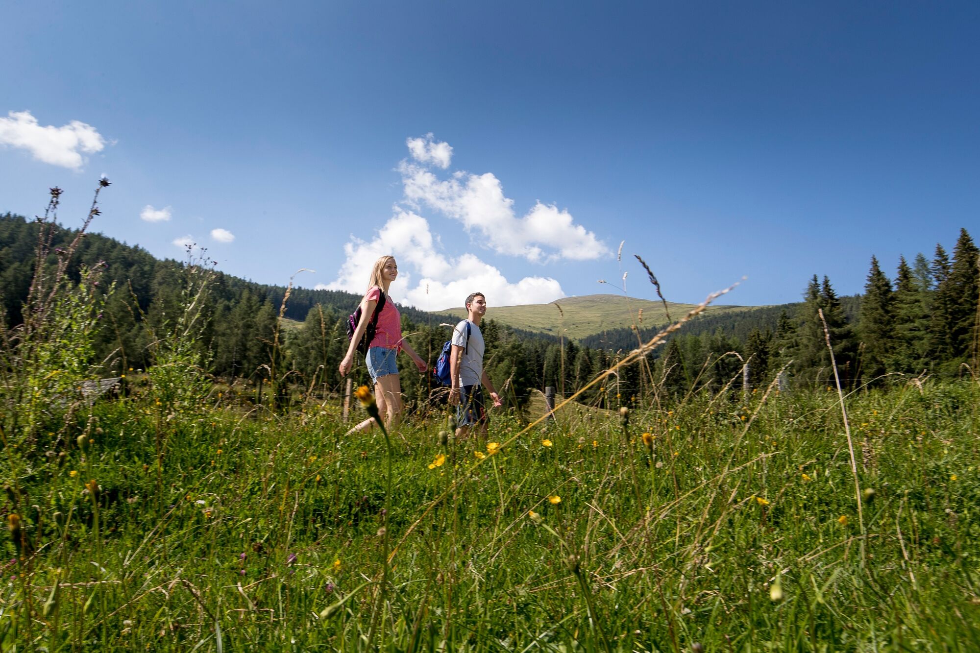
Although this is not too difficult a hike, this tour requires a certain level of fitness and endurance. Scenically, however, this route offers everything you need to see: from beautiful landscape panoramas, to mountain lakes and great viewpoints. Thus, a "must" for any hiking vacation!
- Directions
-
From the Etrachsee (parking lot) in the direction of the Rudolf Schober hut. Past the Rudolf Schober hut, follow trail no. 794 to Bauleiteck through the dense larch forest. Past the turnoff to the Wildenkarsee, you walk steadily uphill towards the summit of Bauleiteck, where you climb the steep flank towards the east and continue along the ridge to the summit of Bauleiteck (2424m).The way back follows the ascent path.
- Highest point
- 2,395 m
- Endpoint
-
Bauleiteck
- Height profile
-

- Equipment
-
Good footwear
Sun protection
Sufficient food - Additional information
-
The ideal time for this tour is from June to September.
- Directions
-
East: From Vienna on the A 2 and S 6 to Leoben and St. Michael i. d. O., continue on the S 36 to Judenburg and on the B 96 to Murau. From Murau via Ranten to Krakow. From Graz on the A 9 to St. Michael i. d. O.. Further see above.
West, north: From Bregenz/Innsbruck via the A 12, A 93 and A 8 to Salzburg. From Salzburg on the A 10 to St. Michael im Lungau. From here on the B 96 to Tamsweg and on towards Murau via Sauerfeld to Krakau.
South: From Klagenfurt on the B 83 to Scheifling. Then on the B 96 to Murau and further into the Krakau.
- Public transportation
-
With the BusBahmBim app from Verbundlinie, timetable information has never been easier: all bus, train and streetcar connections in Austria can be queried by entering locations and/or addresses, stops or important points. The app is available as a free app for smartphones (Android, iOS) - on Google Play and in the App Store.
- Parking
-
Public parking is available directly at the Etrachsee.
- Author
-
The tour Bauleiteck is used by outdooractive.com provided.