


- Brief description
-
A steep forest climb leads to a scenic summit
- Difficulty
-
medium
- Rating
-
- Starting point
-
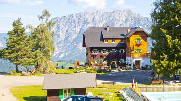
From Pruggern along the road to the Michaelerberghaus
- Route
-
MichaelerbergKochofen (1,916 m)3.9 kmLoskögerl (1,548 m)5.1 kmMichaelerberghaus6.7 kmMichaelerberg6.8 km
- Best season
-
JanFebMarAprMayJunJulAugSepOctNovDec
- Description
-
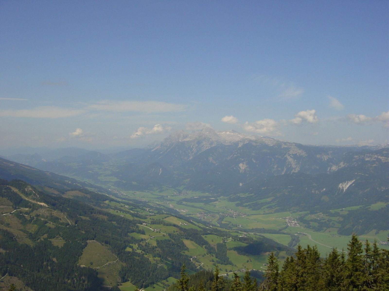
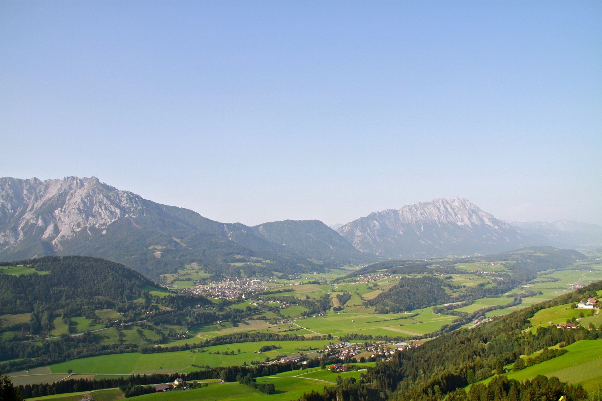
Even while we are still at the always-hospitable Michaelerberghaus, we can enjoy beautiful views out across the Ennstal, the Dachstein and Ramsau mountains. Our ascent on the summit, however, begins with a steep hike up a road. Only a few flat sections interrupt the climb. We mostly make our way through forest, occasionally punctuated by beautiful views of the Sattental deep below, finally reaching a trail crossing below the Loskögerl – we now take the left-hand trail to the Kniepass! Things become quite a bit gentler, as the trail meanders along the forested mountainside up to Kniepass, where we intersect with the trail from Kleinsölk. The route gets steeper again. Our trail leads us up through a gully, with numerous switchbacks, until we hike beyond the tree line and onto a rocky ridge made of Sölk marble. We continue up to the big summit cross, rewarded by magnificent views, especially of the remote peaks of Sölktäler Nature Park.
The hike down via the Loskögerl is steeper, though somewhat shorter, taking us almost exclusively down narrow forest trails, until we finally encounter the road to the Michaeler Berghaus again. Once there, as we allow our joints to recover from the hike down, we can treat ourselves to some of their famously good pastries. - Directions
-
The ascent to the summit begins immediately with a steep step on a driveway. Only a few flat sections interrupt the ascent. Mostly it goes uphill in the forest, occasionally interrupted by a beautiful view into the Sattental, up to the trail cross below the Loskögerls - take the left turn-off to the Kniepass!
The path now winds much more gently along the forest slopes to the Kniepass, where the path joins coming from the Kleinsölk. Now it gets steep again. Through a groove the path now leads in many serpentines over the forest border up to a rocky ridge made of Sölk marble and on to the big summit cross. One is rewarded with a magnificent view, especially to the lonely peaks in the Sölktäler Nature Park.
The descent over the Loskögerl is steeper, but somewhat shorter and leads almost exclusively downhill in the forest on narrow paths until you reach the old road to the Michaelerberghaus again. There you will appreciate the good pastries while your joints recover from the descent.
- Highest point
- 1,889 m
- Endpoint
-
Kochofen
- Height profile
-

- Equipment
-
For alpine routes, the basic equipment includes a hood, gloves, a jacket and trousers. Good, waterproof shoes, sunglasses, sun protection and enough to drink is essential. Flashlight, maps, knives and a small first aid box are also included.
- Safety instructions
-
Weather changes, rapid drops in temperature, thunderstorms, wind, fog and snowfields are objective dangers and require the right behaviour on the road. Hutkeepers are experienced mountain experts who can give good tips on the weather and the route. Lack of equipment, overestimation of one's own abilities, carelessness, poor physical condition and a wrong assessment can lead to critical situations. During thunderstorms: Avoid peaks, ridges, trees and rope belaying.
In an emergency, please dial the following emergency calls: No. 140 - Mountain Rescue No. 112 - Euro Emergency Call
- Additional information
-
Safety information
Safety on the mountainside: changes in the weather, sudden fall in temperature, thunder storms, wind, fog and snow fields are all objective dangers and require the correct behaviour whilst underway. The landlords of the huts are all very knowledgeable about the mountains and can give you good tips about the weather and the routes. Insufficient equipment, exaggerated opinion of ones capabilities, frivolousness, poor health condition and a false evaluation of the situation can lead to a critical situation. In thunder storms: summits, crest-sites and safety rope aids are to be avoided.If something should happen call following emergency numbers:
No. 140 - the number for all Alpine Emergencies in all of Austria
No. 112 - European emergency call GSM emergency-call-service - Directions
-
From Pruggern to the Michalerberghaus
- Parking
-
Michaelerberghaus

- Author
-
The tour From the Michaelerberghaus up to the Kochofen is used by outdooractive.com provided.


General info
-
Schladming - Dachstein
3001
-
Gröbminger Land
1190
-
Michaelerberg-Pruggern
233


