- Brief description
-
A leisurely hike with gentle ups and downs, where you can engage with yourself and the elements - a beautifully designed and perfectly marked local recreational trail.
- Difficulty
-
easy
- Rating
-
- Starting point
-
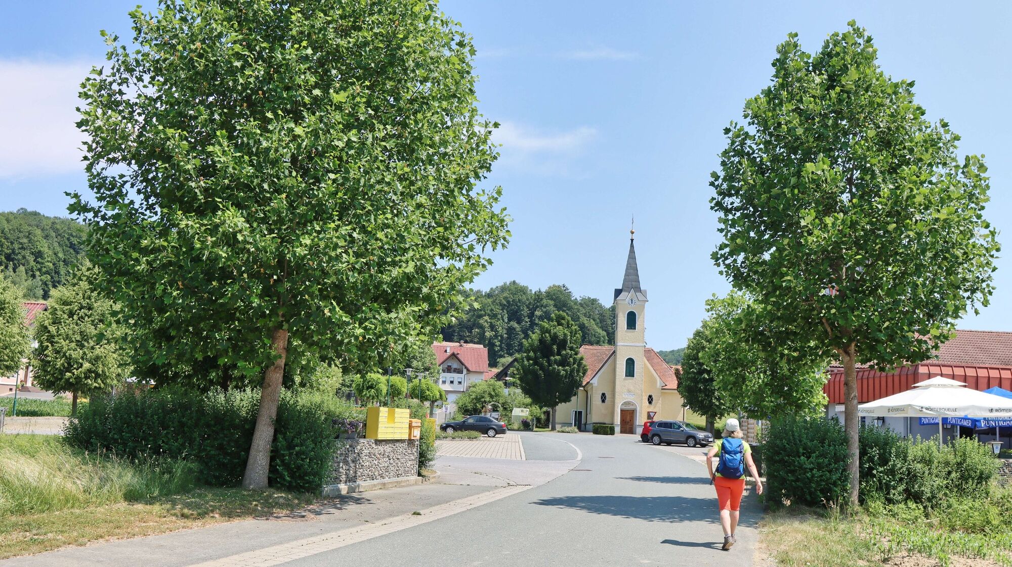
Wörth near Gnas
- Route
-
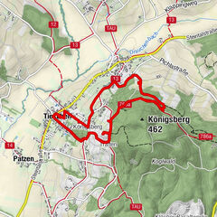
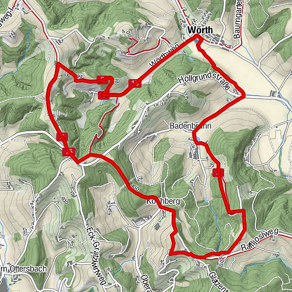
Wörth0.0 kmMondschein Stüberl0.0 kmBadenbrunn1.2 kmKochberg3.7 kmKögerlegg (440 m)5.5 kmBuschenschank Zach5.9 kmKögerlegg6.9 kmMondschein Stüberl7.2 kmWörth7.5 km
- Best season
-
JanFebMarAprMayJunJulAugSepOctNovDec
- Description
-
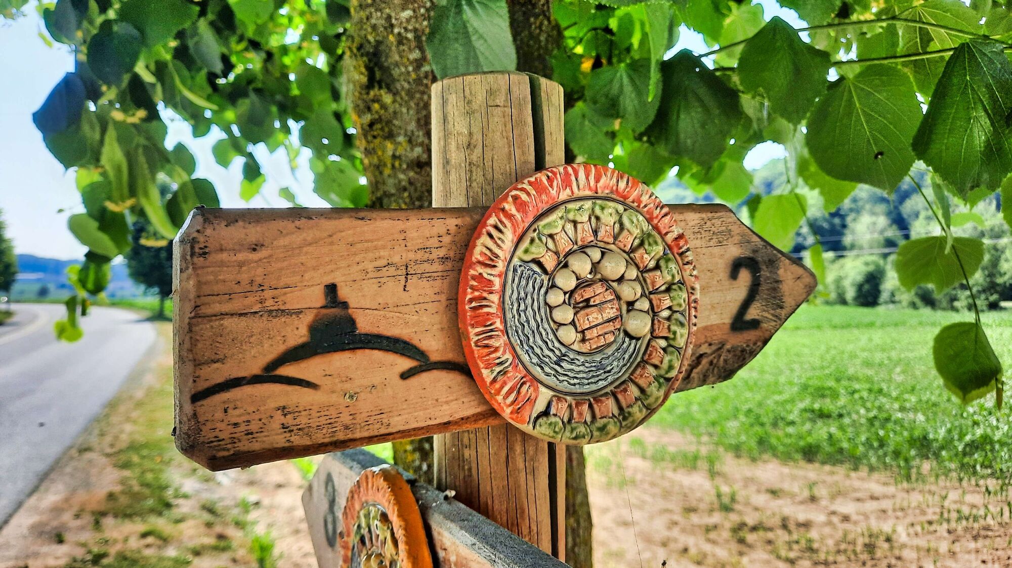
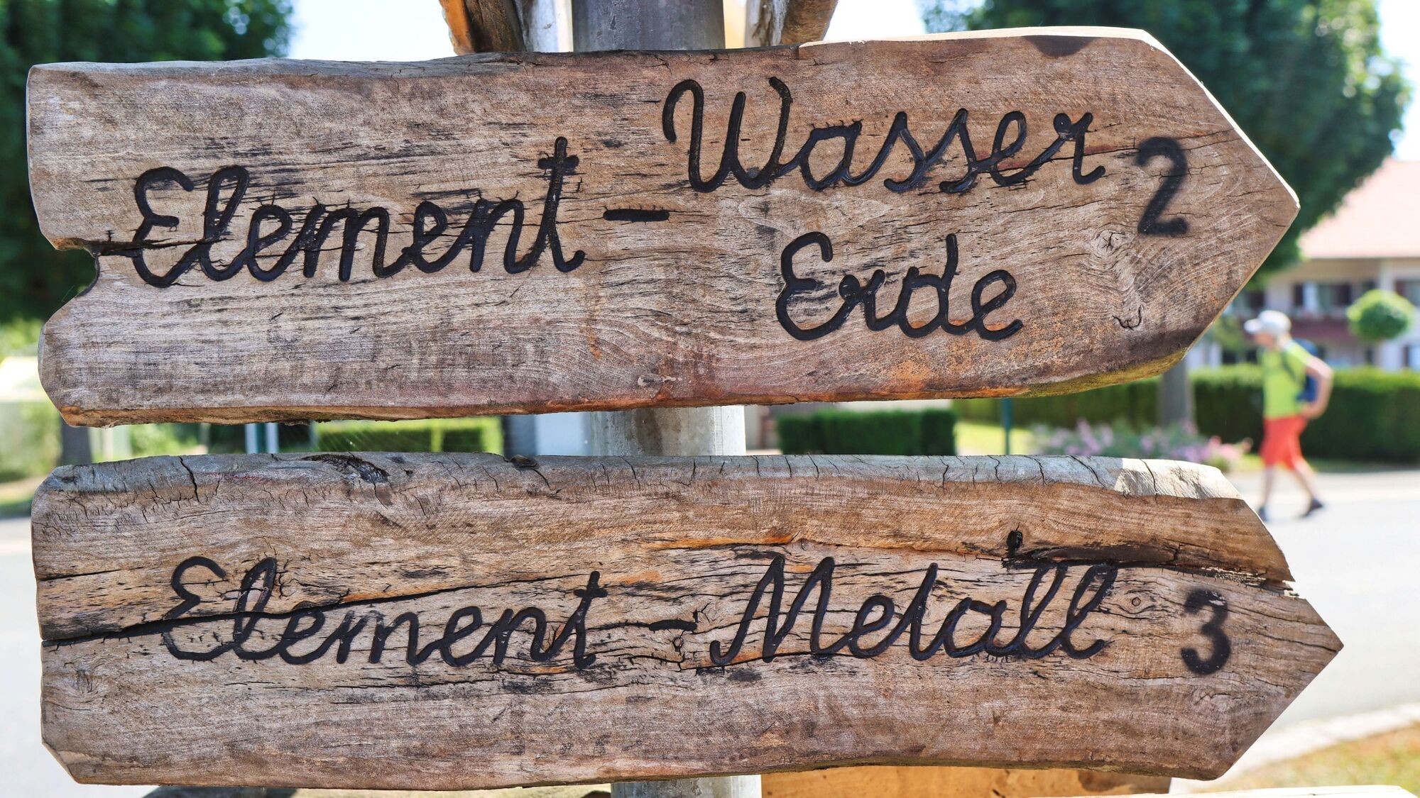
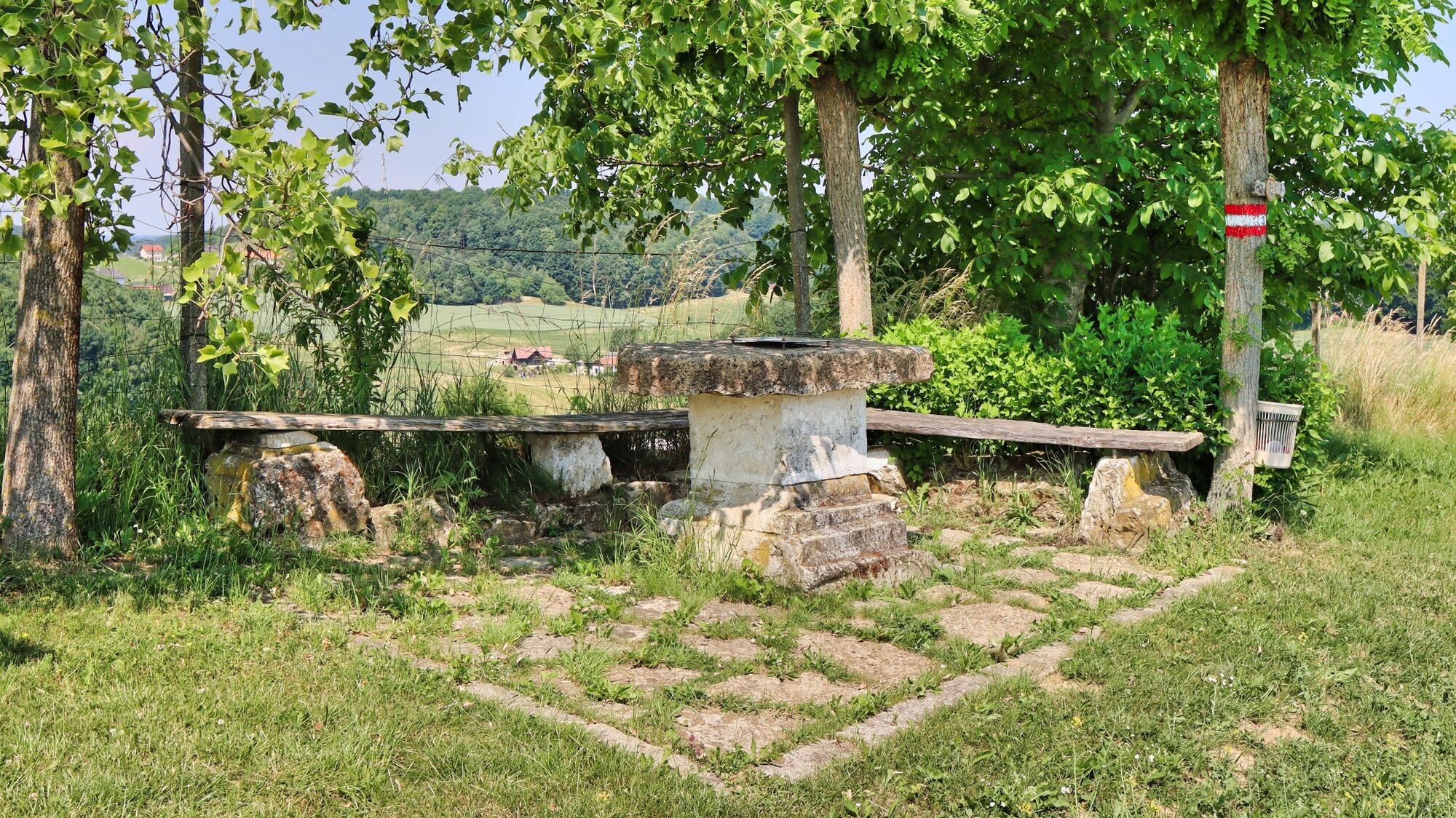
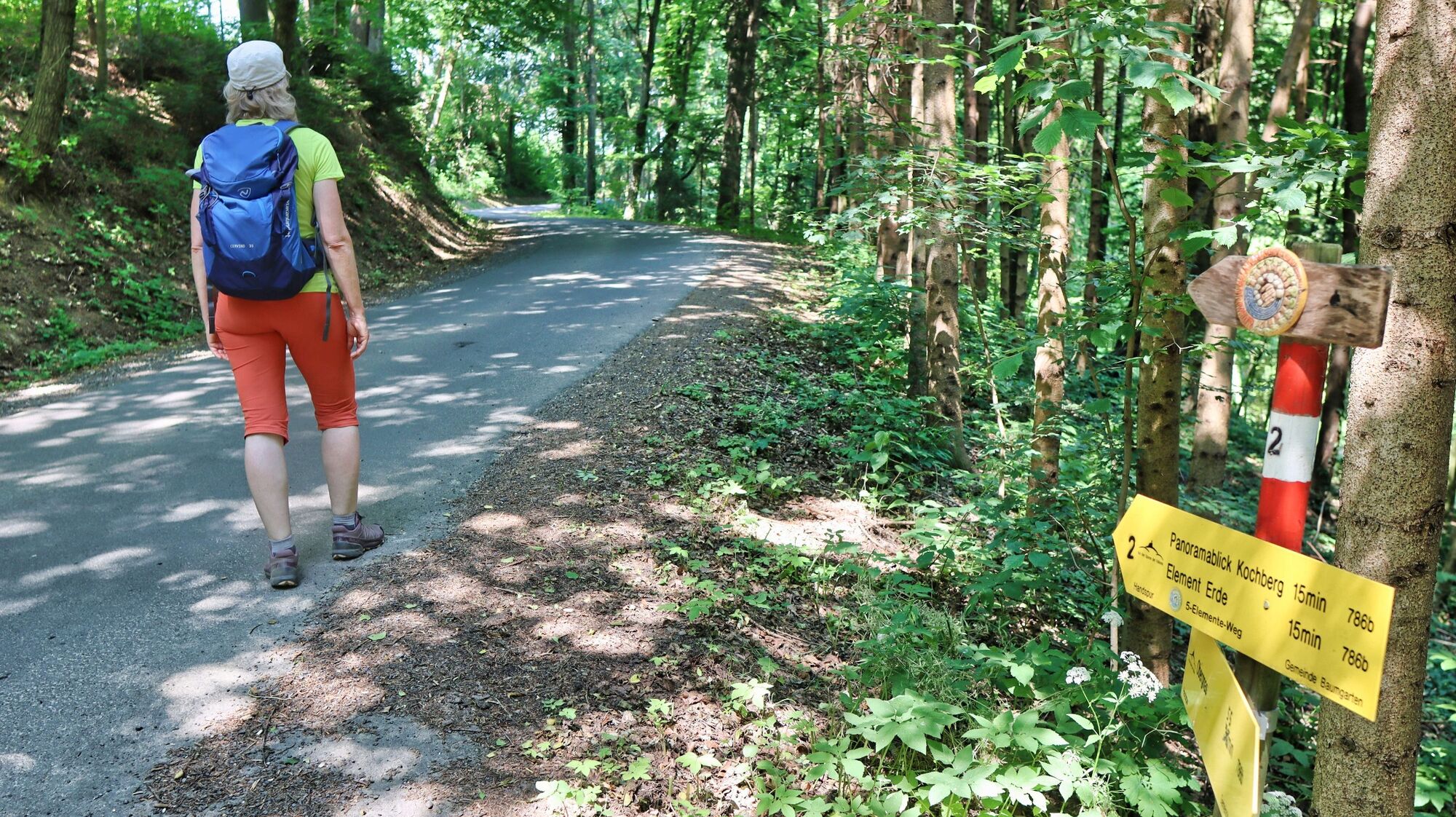
Behind the term "5-Elements-Weg" are 3 circular trails that start at the village square in Wörth and thus right at the first element, fire. All three hiking trails have a connection to the "Handspur" the supraregional hiking trail network "On the tracks of the volcanoes". With the circular route 2 - Badenbrunn - you hike the stations of the elements water and earth and get to know the varied landscape in combination with beautiful viewing and resting places. Near the station "Element Water" in Badenbrunn stands the birthplace of the famous composer Franz Fuchs (1873 - 1955), who showed great talent on several instruments at a young age. He moved with his family to Judenburg, where his father ran a workshop for the production of accordions. After completing his studies at the "Fürstliche Konservatorium" in Thüringen, he returned to Judenburg. During his life he composed symphonies, overtures, concert pieces, operas, chamber music. An information board at the "Element Wasser" rest area commemorates the life and work of this musician.
- Directions
-
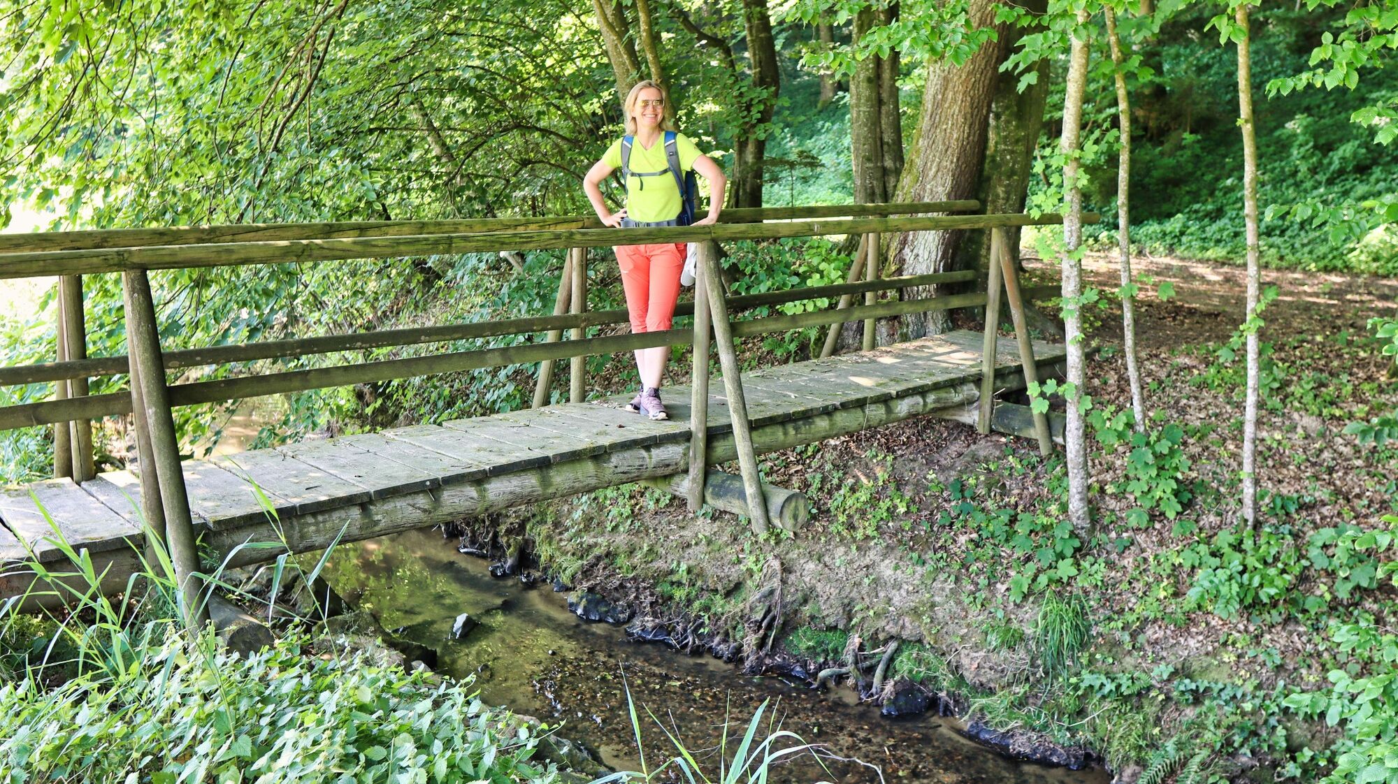
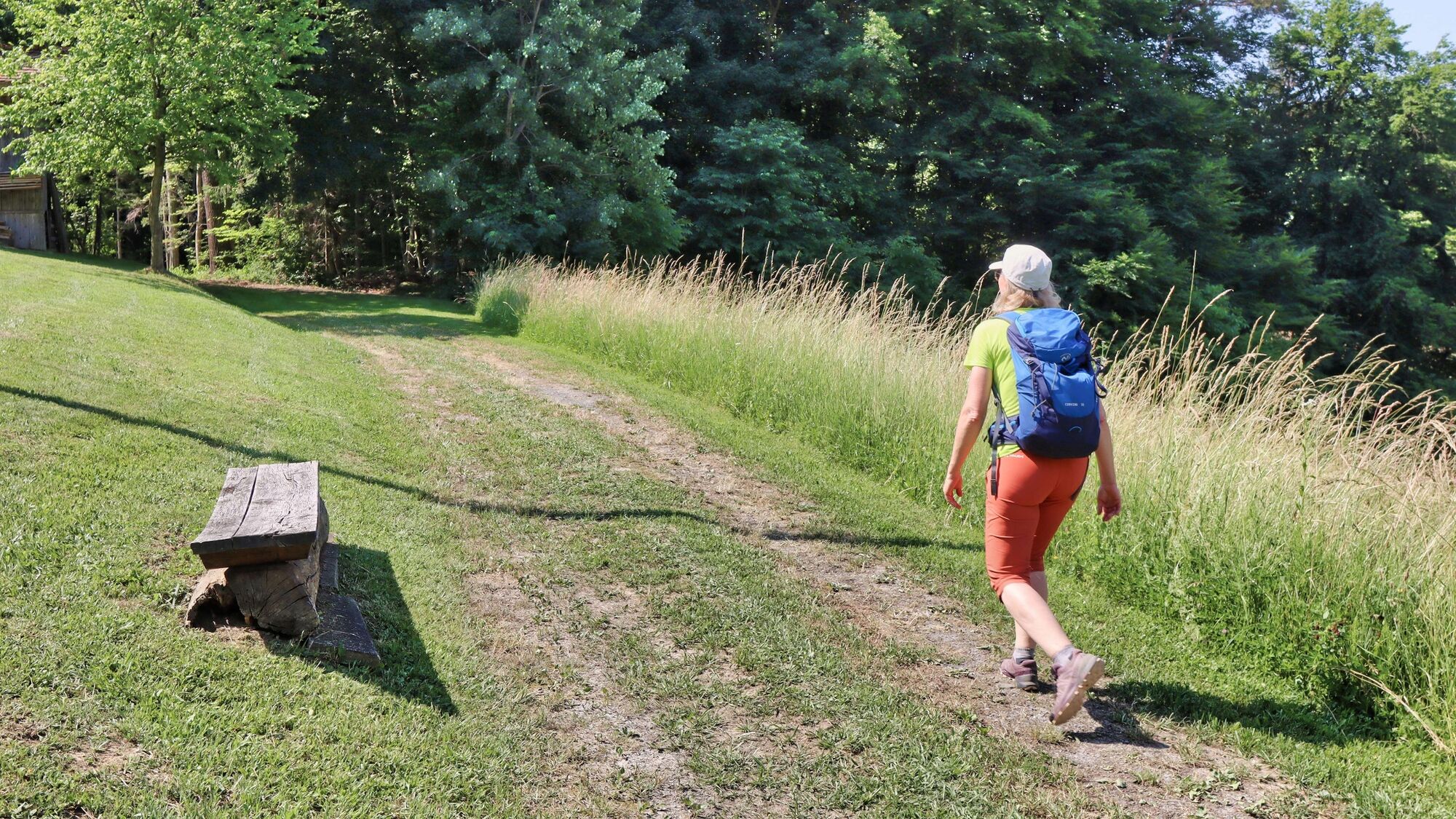
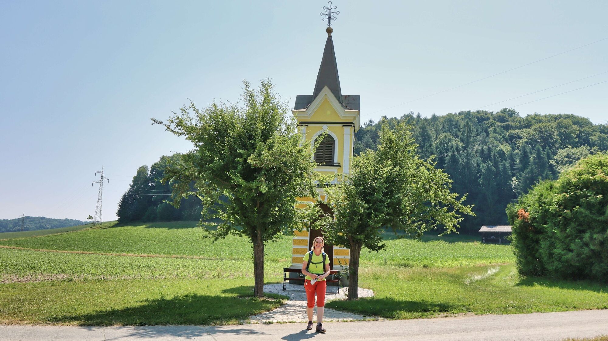
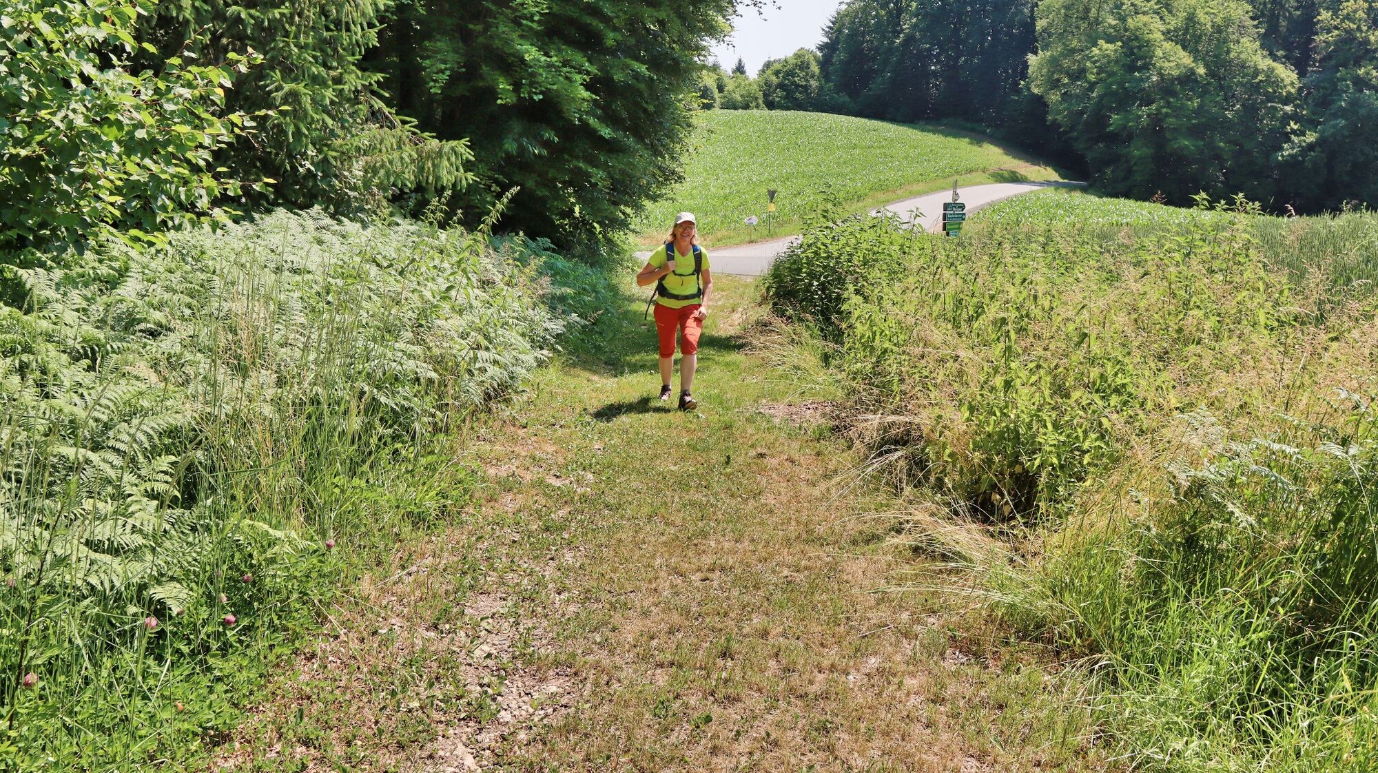
We start at the church or the village square of Wörth and orient ourselves by the local signposts. With trail 2 we leave the asphalt road just behind the municipal office to continue along the edge of the meadow and the brook. Soon we cross the brook on a wooden bridge and continue walking in the forest. Shortly after, we cross an asphalt road and go to Badenbrunn. It goes flat along the road until we reach the station "Element Water" on the right side. Here we see an 8-shaped Kneipp basin with a resting place and a memorial plaque of the composer Prof. Franz Fuchs. At the next crossroads we keep to the left, pass by a chapel and shortly afterwards turn left. From now on the path goes slightly uphill. The gravel road continues in the first part along meadow areas and after a house in solitude through a well-kept forest. We come to an asphalt road, turn right and follow it. Passing a few houses, we now go slightly downhill and turn right into the forest near a chapel. Immediately after, we leave the forest road to go uphill on the left. We reach an asphalt road, which we follow to the right. At a crossroads we keep left, pass by some houses and come to a self-service station. Only a few more minutes and we branch off the road sharply to the right to reach the "Element Erde" station on Kochberg at the edge of the meadow. After a leisurely break at this scenic spot, we hike slightly downhill along the edge of the meadow until we reach the road, where we continue slightly downhill to the left along the asphalt road. At the crossroads we keep to the right and follow the road through the forest slightly uphill. Arrived at the national road L212, which we cross quickly, after a few meters we reach a rest area with a wayside shrine. Here you have the option of shortening path 2 considerably and going downhill to Wörth via the Anna Suppan memorial. We pass the wayside shrine and again come to the state road L212, which we follow only a few meters. On the opposite side of the road is the Gratzlwirt inn. We turn right into a side road and follow it through the sparsely populated and panoramic area. The view of Riegersburg Castle accompanies us here on the heights. At the crossroads in the direction of the Buschenschank "Zur Ingrid" we go downhill to the right and pass it a little later. We stay on the road, which continues to the valley floor. Now we go straight along the asphalt road for about 1 kilometer until we reach the starting point of the hike.
- Highest point
- 438 m
- Endpoint
-
Wörth near Gnas
- Height profile
-

- Equipment
-
Small backpack with water bottle
Light hiking shoes
Nordic walking sticks
Umbrella
Cell phone - Safety instructions
-
Emergency number rescue: 144
Mountain rescue emergency number: 140
EU emergency number: 112
Weather service: www.zamg.ac.at
- Tips
-
On hot days, we recommend taking the shortcut via the Anna Suppan memorial and descending directly into the valley.
- Additional information
-
Mondscheinstüberl, Tel.: +43 664 452 5226, 8342 Gnas, Wörth 11a
Buschenschank Hirschmann, Tel.: +43 3151 2478, 8342 Gnas, Wörth 30
Buschenschank zur Ingrid, Tel.: +43 664 1040 911, 8083 St. Stefan im Rosental, Wörth 30
- Directions
- Public transportation
-
Timetables and travel information can be found directly at: Austrian Federal Railways (ÖBB), Steiermärkische Landesbahnen (STLB), www.busbahnbim.at.
With the BusBahnBim app from Verbundlinie, timetable information has never been easier: all bus, train and streetcar connections in Austria can be queried by entering locations and/or addresses, stops or important points. The app is available as a free app for smartphones (Android, iOS) - on Google Play and in the App Store.
- Parking
-
Several parking possibilities in the place

- Author
-
The tour 5 elements track (5-Elemente Weg) - route 2 (Badenbrunn) is used by outdooractive.com provided.


General info
-
Oststeiermark
2125
-
Bad Gleichenberg
372
-
Jagerberg
69