Schwarzensee - Putzentalalm

Logo Schwarzensee - Putzentalalm
Tour data
12.48km
1,077 - 1,358m
Distance
323hm
330hm
Ascent
02:45h
 
Duration
Brief description

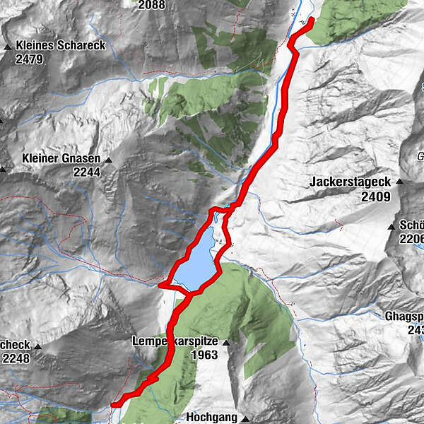
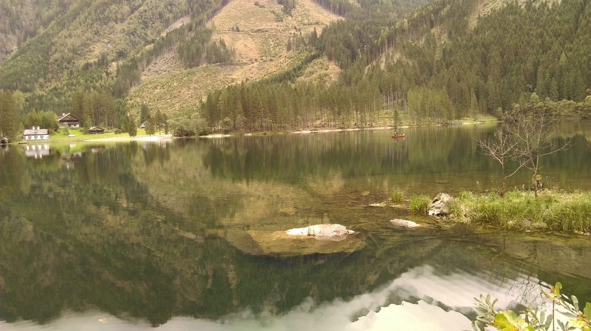
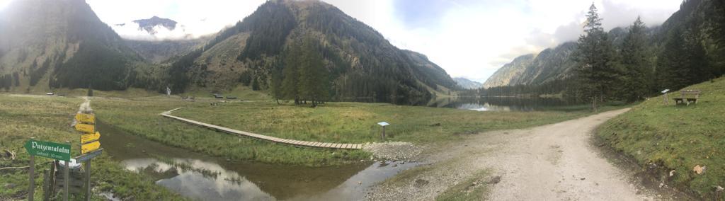
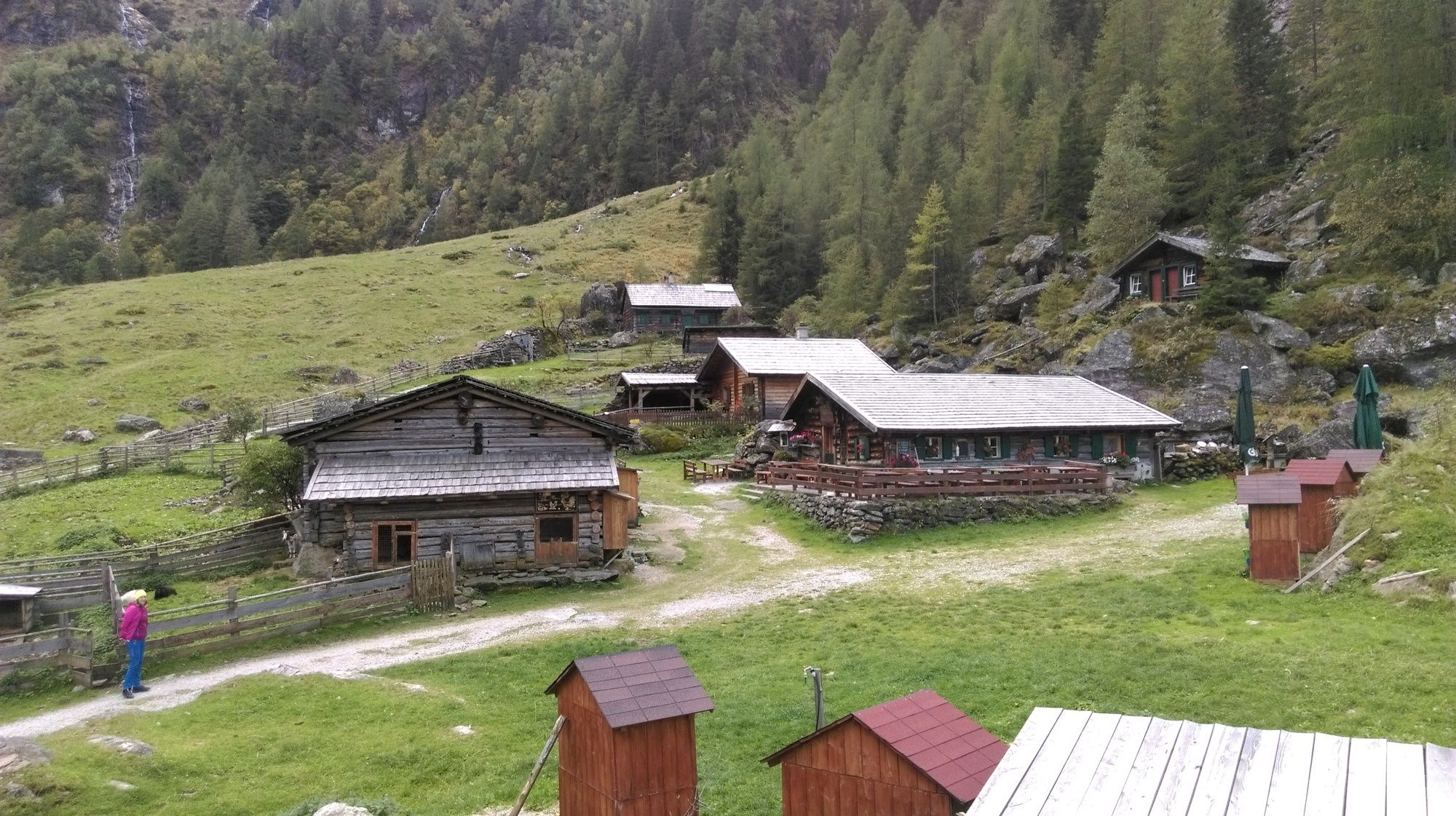
Breitlahnalm - Schwarzensee - Putzentalalm - Harmeralm

Difficulty
easy
Rating
Technique
Fitness
Landscape
Experience
Route
Jägeralm
3.0 km
Putzentalalm
5.7 km
Harmer Alm
9.5 km

Highest point
Putzentalalm (1,358 m)

Overall rating

5

0

%

4

0

%

3

0

%

2

0

%

1

0

%

Error
An error has occurred. Please try again.
Thank you for your review

Rating has been deleted

GPS Downloads
  • GPX GPS Exchange Format (XML)
  • KML Google Earth, Google Maps
QR Download Codes for Mobile Phones

Trail conditions

Asphalt
Gravel
Meadow
Forest
Rock
Exposed
Other tours in the regions

Popular tours in the area

Günster waterfall hike

easy Hiking
4.05km | 161hm | 01:19h

Riesach Wasserfälle

Hiking
4.73km | 292hm | 03:00h

Steirische and Lungauer Kalkspitze summits via Kranzl

difficult Hiking
10.91km | 926hm | 05:10h

To the Top of the Gröbminger Kammspitze - elev. 2.139 m

difficult Hiking
11.63km | 1318hm | 06:00h