- Brief description
-
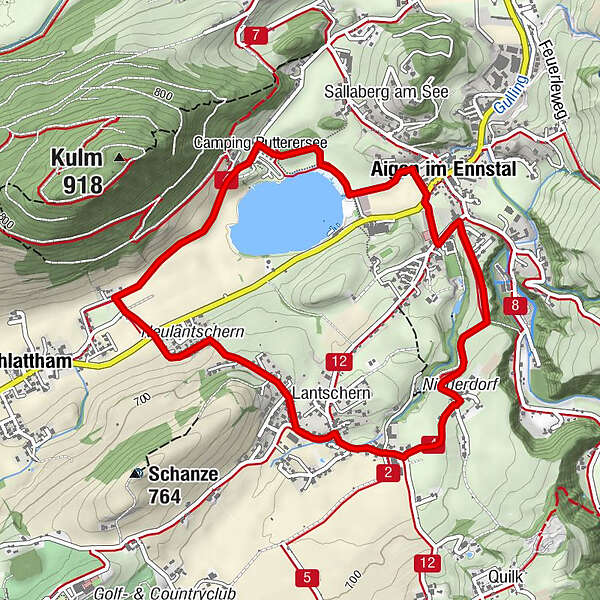
Along the lake to the camping site, further to Schlattham and via Lantschern back to Aigen.
- Difficulty
-
easy
- Rating
-
- Starting point
-
Parking at the tennis court
- Route
-
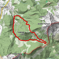
Aigen im Ennstal0.1 kmSchlattham1.9 kmLantschern3.2 kmGasthaus Wöhrer3.3 kmNiederdorf4.0 km
- Best season
-
JanFebMarAprMayJunJulAugSepOctNovDec
- Description
-
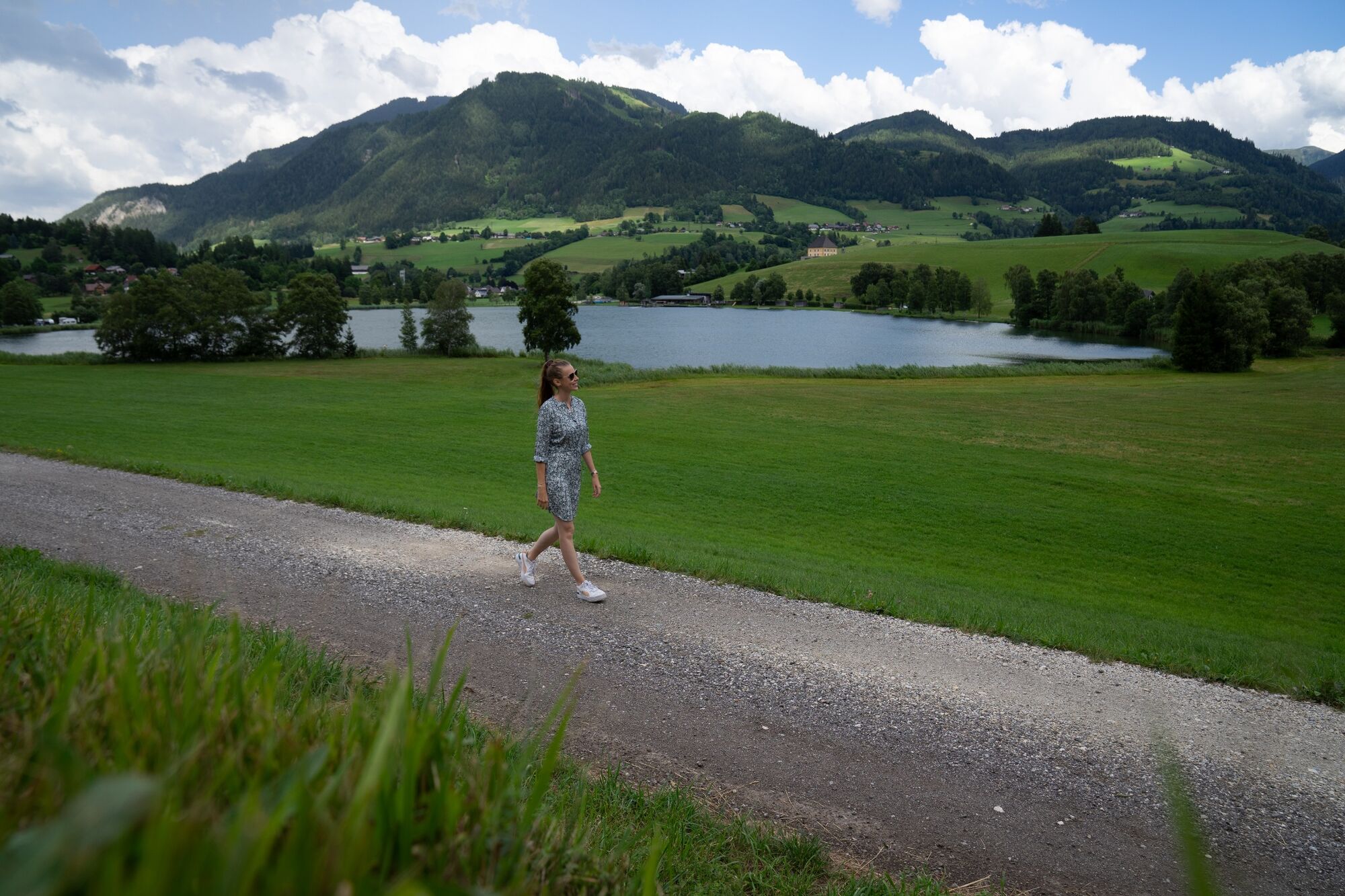
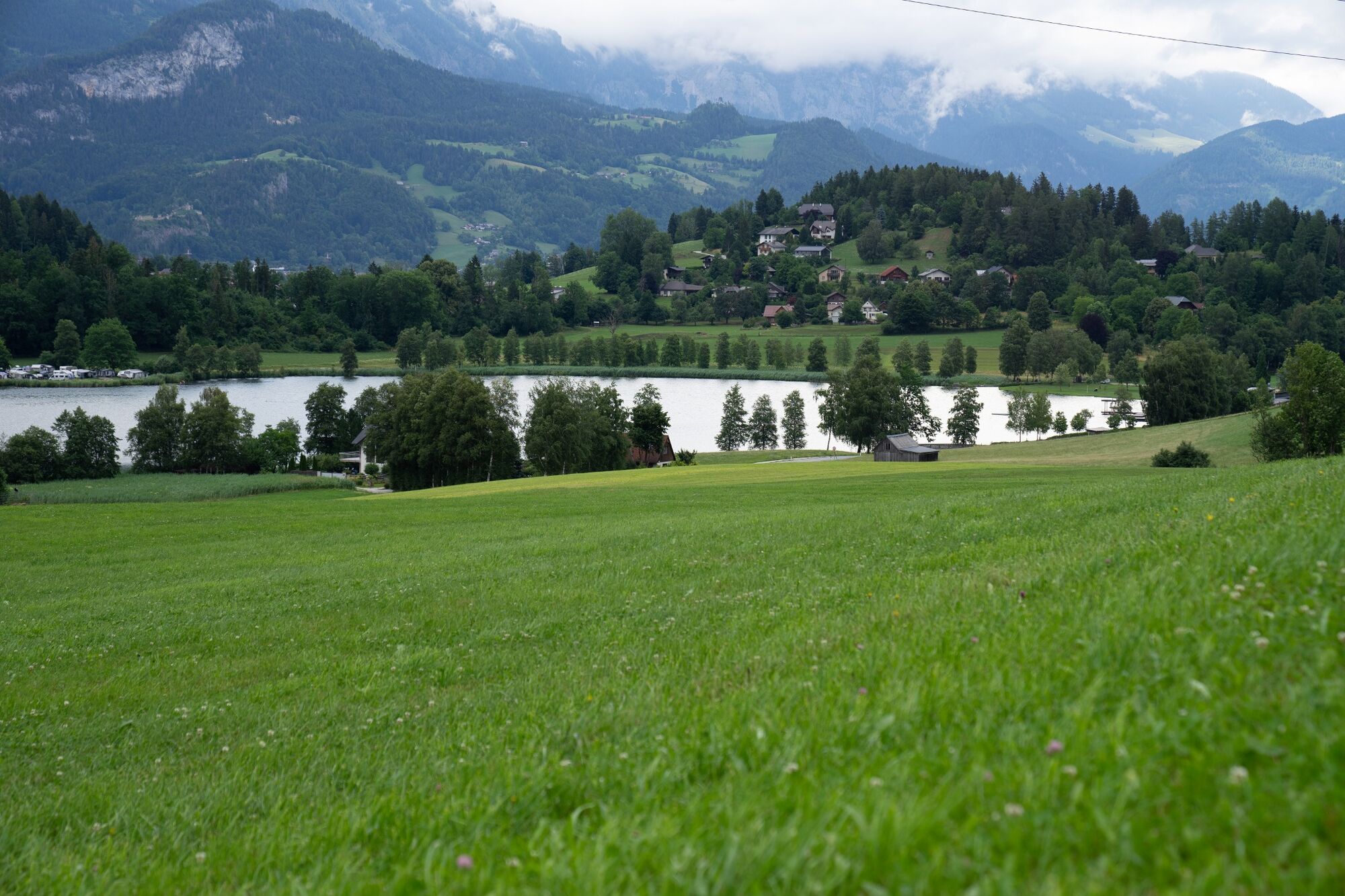
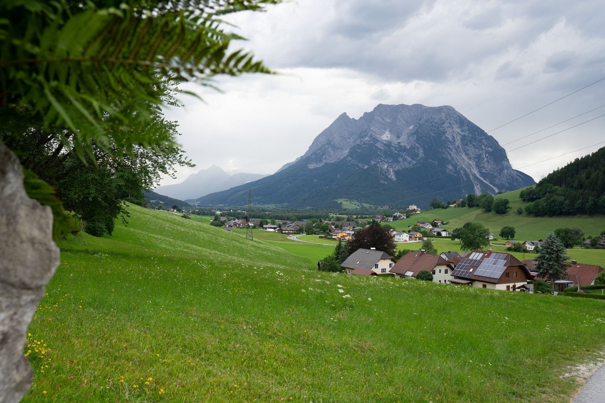
AFTERNOON SNACK. Passing Putterersee and the campsite you stroll on towards Schlattham, before you climb up to Lantschern and back to the starting point to catch a few more rays of sunshine.
- Directions
-
We start at the tennis court. Cross the road, walk past the Putterersee lake to the campsite and along the narrow road to Schlattham. There you cross the main road and continue uphill in the direction of Lantschern. Along the road you go via Niederdorf back to the starting point.
Way number: 4
- Highest point
- 693 m
- Endpoint
-
Parking at the tennis court
- Height profile
-

- Equipment
-
Good shoes, clothes and a backpage for a snack.
- Safety instructions
-
Plan your trip in advance, taking into account walking time, distance, elevation gain, hazards, and weather reports.
Let others know where you are going and when you want to be back.
Turn back in good time if the weather deteriorates. If you are caught in a thunderstorm, stay away from free-standing trees and wait out the storm, crouching if possible.
Stay on marked trails and remember to close pasture fences.
If you are a dog owner: Clarify before the hike if you need to cross a pasture. Keep your dog on a leash and make sure it stays calm. If a cow attacks, let the dog off the leash immediately. Never pick him up to defend him. - Tips
-
A small round for a break for between.
- Additional information
-
Tourism information: www.schladming-dachstein.at
Tourism blog: www.derbergdastal.at
Tourist Office Schladming-Dachstein
Ramsauerstrasse 756
8970 Schladming
T: +43 3687 23310
Garbage on meadows and paths can not smell mountain and valley. Please take it with you. Agriculture and forestry are important partners for Berg und Tal. They allow you to walk and drive on many of their paths. Be aware that only good cooperation will guarantee your recreational enjoyment in the future.
- Directions
-
- Coming from Liezen, turn left in Wörschach and follow the signs for Aigen/Ennstal. In Aigen drive through the village and turn left shortly before the end of town sign and park your car at the large gravel parking lot.
- Coming from Schladming, take the Irdning/Aigen exit at the Trautenfels traffic circle. Drive through Irdning and Schlattham, past the Putterersee lake and shortly after the Aigen town sign turn right to the large parking lot.
- Public transportation
- Parking
-
Free, large parkingplace at the start point.


-

-
AuthorThe tour Schlattham-Lantschern-Way is used by outdooractive.com provided.