- Brief description
-
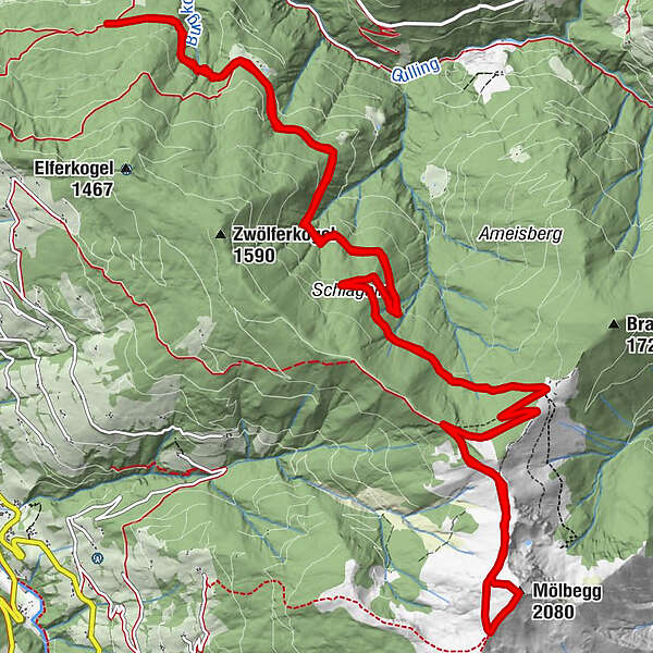
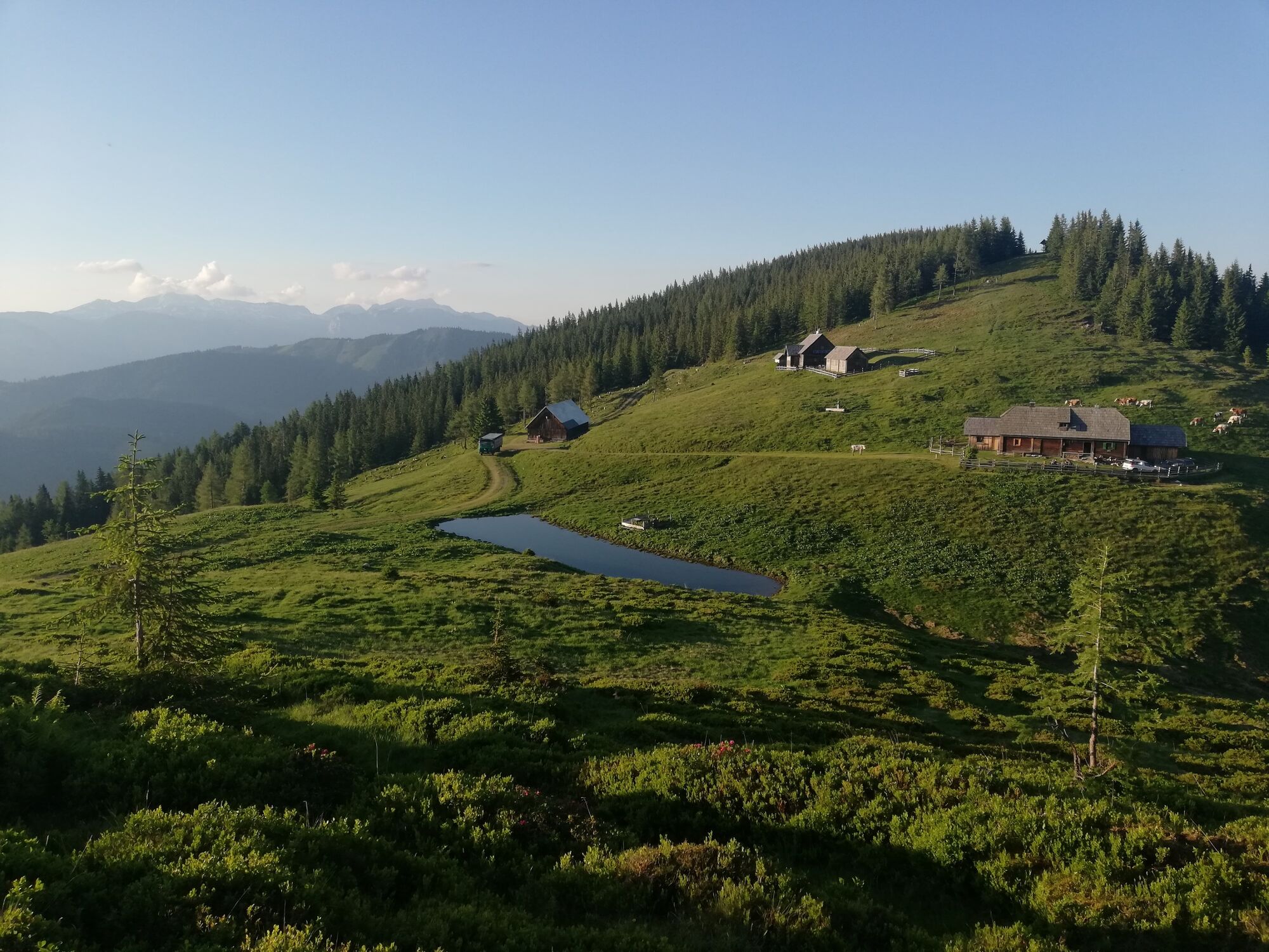
Via Puttererlehen and Plotscheralm up to Mölbegg, visible from afar.
- Difficulty
-
medium
- Rating
-
- Starting point
-
Parking at the Poserbauer
- Route
-
Mölbegg (2,080 m)11.5 km
- Best season
-
JanFebMarAprMayJunJulAugSepOctNovDec
- Description
-
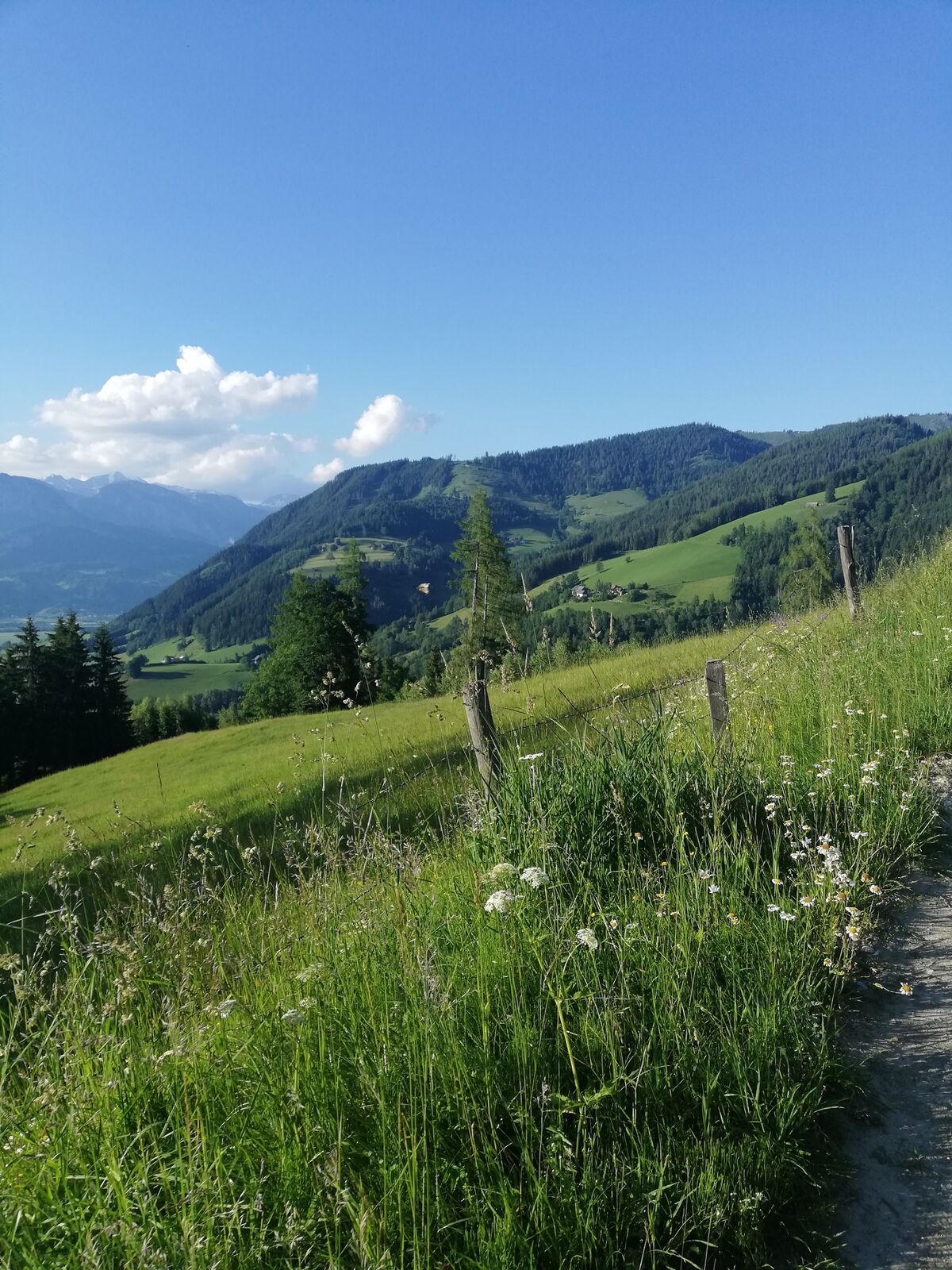
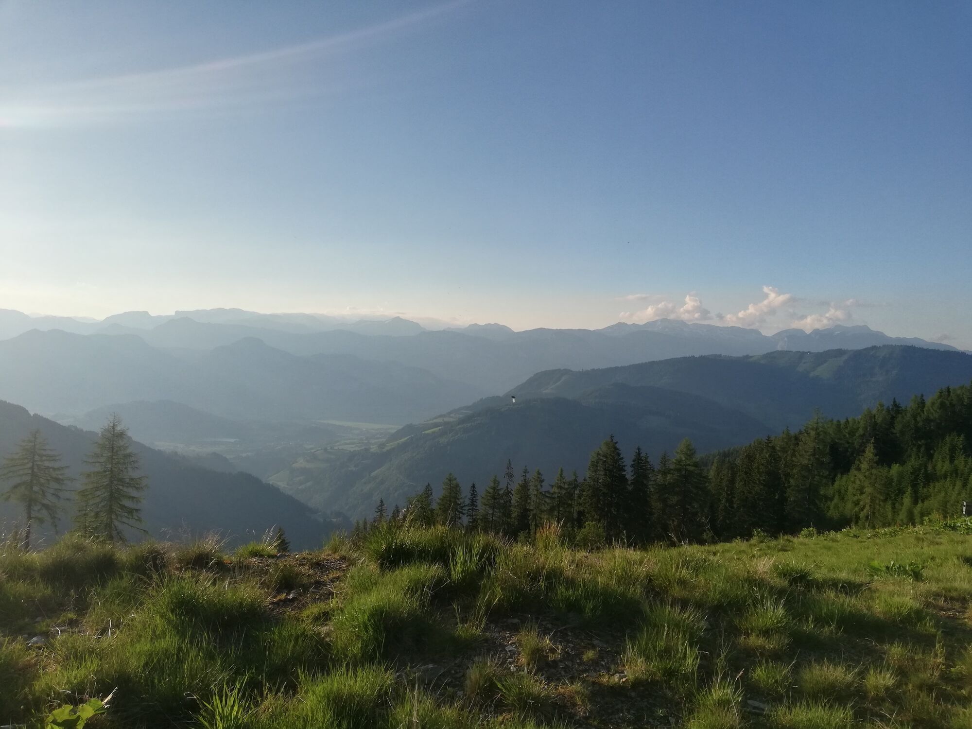
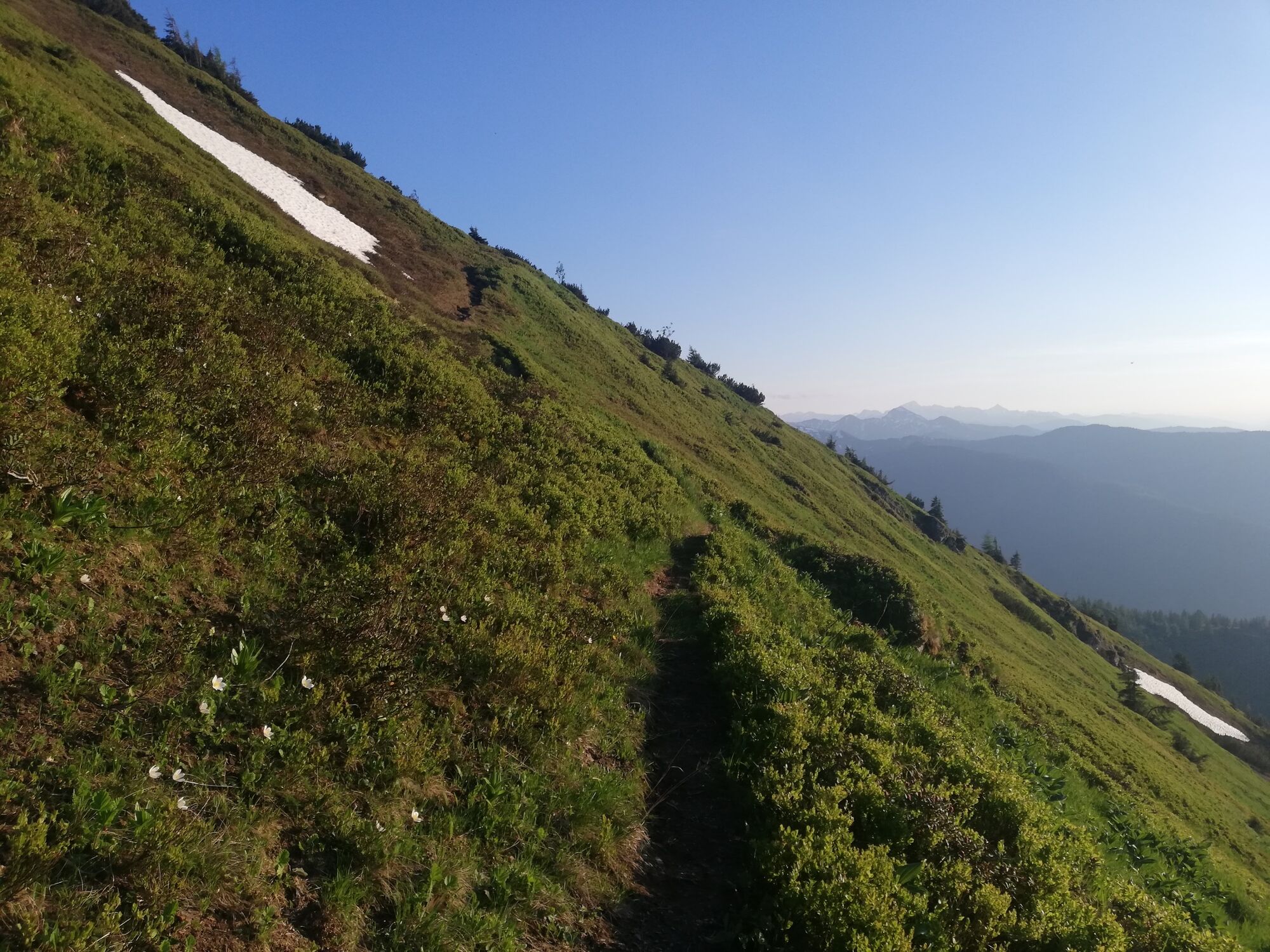
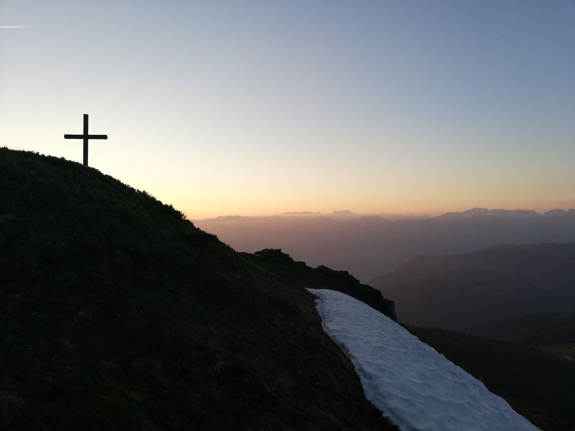
FULL OF VIEWS. Through the forest, Puttererlehen, Plotscheralm and then: mountain in sight! Only comfortably along the trail and from the saddle a little steeper up to summit happiness & panoramic view.
- Directions
-
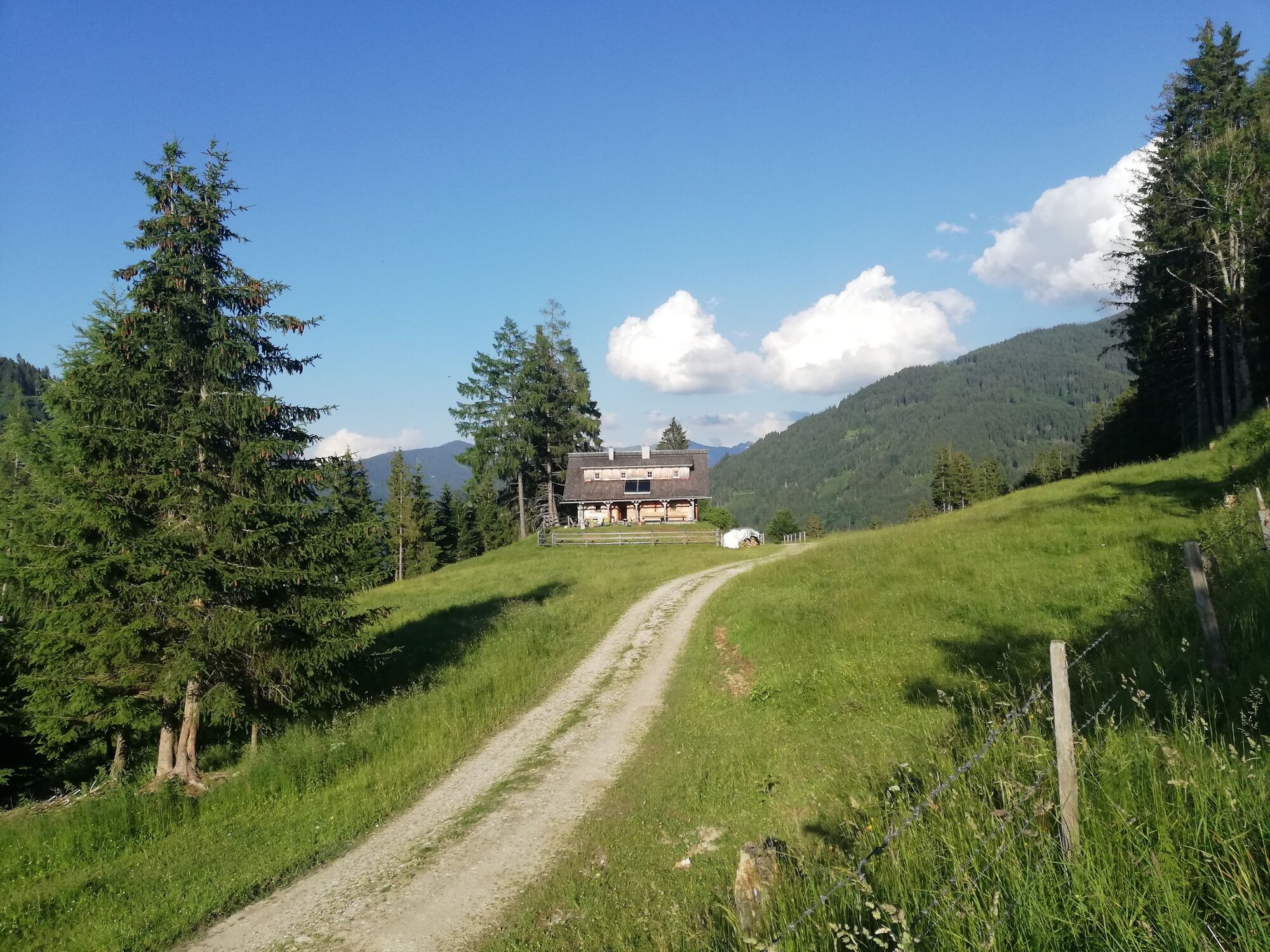
Via Lantschern, Quilk and Puttererlehen you walk mostly on forest paths up to the Plotscheralm, which you reach after about 2.5 hours. There you keep to the right, before you turn left after a few meters onto the trail. From there, the trail goes moderately uphill, partly through the forest, to the Scharte. Again turn left and now a little steeper up to the summit. At the top, treat yourself to a rest and enjoy the boundless view before you hike back along the same path to the starting point.
Way number: 12
- Highest point
- 2,062 m
- Endpoint
-
Parking at the Poserbauer
- Height profile
-

- Equipment
-
In your weatherproof backpack belong: Sun and rain protection, warm, windproof clothing, drinks and provisions, small first aid kit, hiking map and a fully charged cell phone and good shoes.
- Safety instructions
-
Plan your tour in advance, taking into account walking time, route length, altitude difference, danger spots and weather forecast.Together is much more beautiful and at the same time safer in the mountains.
Do not go alone, if possible, and adapt the tour to the ability of your group.
Let them know where you are going and when you want to be back. Also sign hut or summit books.
Turn back in good time if the weather deteriorates. If you get caught in a thunderstorm, do not stay on the summit or ridge and stay away from individual trees. Wait out the storm, if possible in a crouching position.
Stay on the marked trails and remember to close pasture fences again.
Getting up the trail is only half the battle. Stay alert, especially on the descents, to make it back to the valley safely.In case of emergency, keep calm and call the mountain rescue on 140. If you have no reception, take out the sim card and dial 112.
If you encounter cows: It is best to pass above the herd with at least 50 meters distance. Stay calm, don't make any frantic movements and don't run away. Do not imitate cow sounds and do not try to pet the animals. A stick and loud shouting can often make the animals turn back in an emergency.
If you are a dog owner: Clarify before the hike if you have to cross a pasture. Keep your dog on a leash and make sure he stays calm. If a cow attacks, let the dog off the leash immediately. Never pick him up to defend him.
You can get detailed information on "Safe Mountain Hiking" from the Alpine Club. At www.alpenverein.at you can inform yourself comprehensively about it. - Tips
-
The favorite moutain from the from the residents with a beatiful panorama.
- Additional information
-
Tourism information: www.schladming-dachstein.at
Tourism blog: www.derbergdastal.at
Tourist Office Schladming-Dachstein
Ramsauerstrasse 756
8970 Schladming
T: +43 3687 23310
Garbage on meadows and paths can not smell mountain and valley. Please take it with you. Agriculture and forestry are important partners for Berg und Tal. They allow you to walk and drive on many of their paths. Be aware that only good cooperation will guarantee your recreational enjoyment in the future.
- Directions
-
- Coming from Liezen, turn left in Wörschach and follow the signs to Aigen/Ennstal. Drive through the village of Aigen, turn left just before the end of the village and follow the signs to Lantschern and Quilk until you reach the Poserbauer.
- Coming from Schladming take the 1st exit at the Trautenfels traffic circle and follow the signs to Irdning/Aigen. Drive through the villages of Irdning and Schlattham, past the Putterersee lake and then turn right. Now follow the signs to Lantschern and Quilk
- Public transportation
- Parking
-
Parking at the farm Poserbauer.
-

-
AuthorThe tour Mölbegg Way from Aigen is used by outdooractive.com provided.