
- Brief description
-
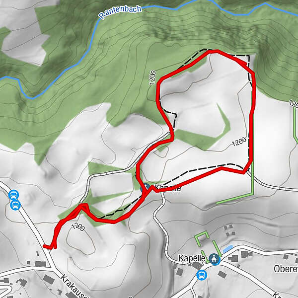
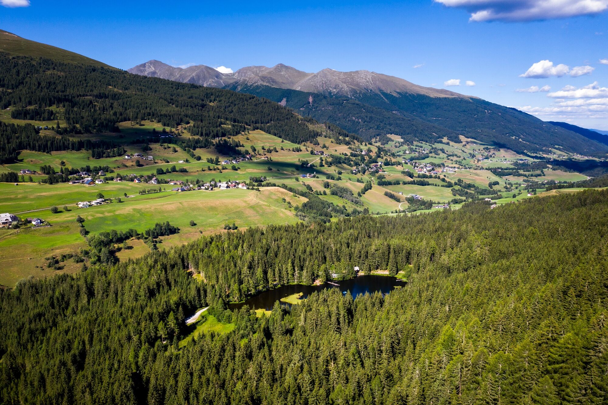
Idyllic circular trail about 1.5 km long - located in the middle of the beautiful Krakau High Valley.
- Difficulty
-
easy
- Rating
-
- Starting point
-
Nature trail entrance
- Route
-
Kapelle1.3 km
- Best season
-
JanFebMarAprMayJunJulAugSepOctNovDec
- Description
-
Idyllic circular trail aFrom the nature trail entrance, head NE on the Krakauschatten nature trail, past well-signposted native trees and woody plants to the Walfahrtskapelle (pilgrimage chapel) with a rest area. Pass rare plants and shrubs to the alpine garden. Follow the white/green markings across a trough-like landscape formed by the last ice age to the starting point (nature trail entrance).bout 1.5 km long - located in the middle of the beautiful Krakau High Valley
- Directions
-
The hike starts from the parking lot and goes to the Red Cross Chapel. Here the signposting shows the further course of the path.
- Highest point
- 1,203 m
- Endpoint
-
Nature trail entrance
- Height profile
-

- Equipment
-
Good footwear
Sun protection
Sufficient food - Additional information
-
The nature trail can be visited all year round.
- Directions
-
East: From Vienna on the A 2 and S 6 to Leoben and St. Michael i. d. O., continue on the S 36 to Judenburg and on the B 96 to Murau. From Murau via Ranten to Krakau. From Graz on the A 9 to St. Michael i. d. O.. Further see above.
West, north: From Bregenz/Innsbruck via the A 12, A 93 and A 8 to Salzburg. From Salzburg on the A 10 to St. Michael im Lungau. From here on the B 96 to Tamsweg and on towards Murau via Sauerfeld to Krakau.
South: From Klagenfurt on the B 83 to Scheifling. Then on the B 96 to Murau and further into the Krakau.
- Public transportation
-
With the BusBahmBim app from Verbundlinie, timetable information has never been easier: all bus, train and streetcar connections in Austria can be queried by entering locations and/or addresses, stops or important points. The app is available as a free app for smartphones (Android, iOS) - on Google Play and in the App Store.
- Parking
-
Parking is available directly at the entrance to the nature trail.
- Author
-
The tour Nature Trail Krakauschatten is used by outdooractive.com provided.