


Tour data
24.12km
936
- 2,782m
1,118hm
1,674hm
12:19h
- Brief description
-
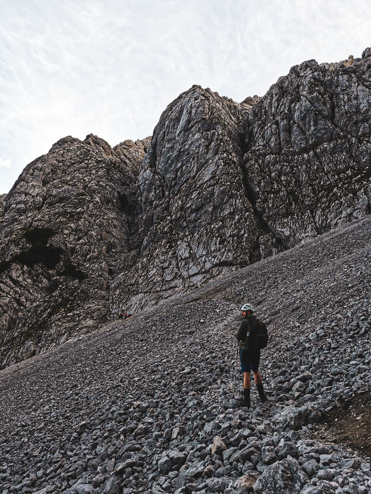
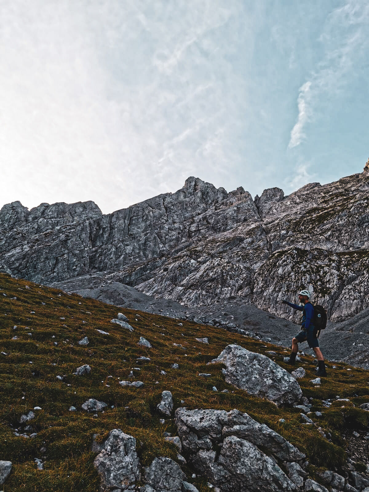
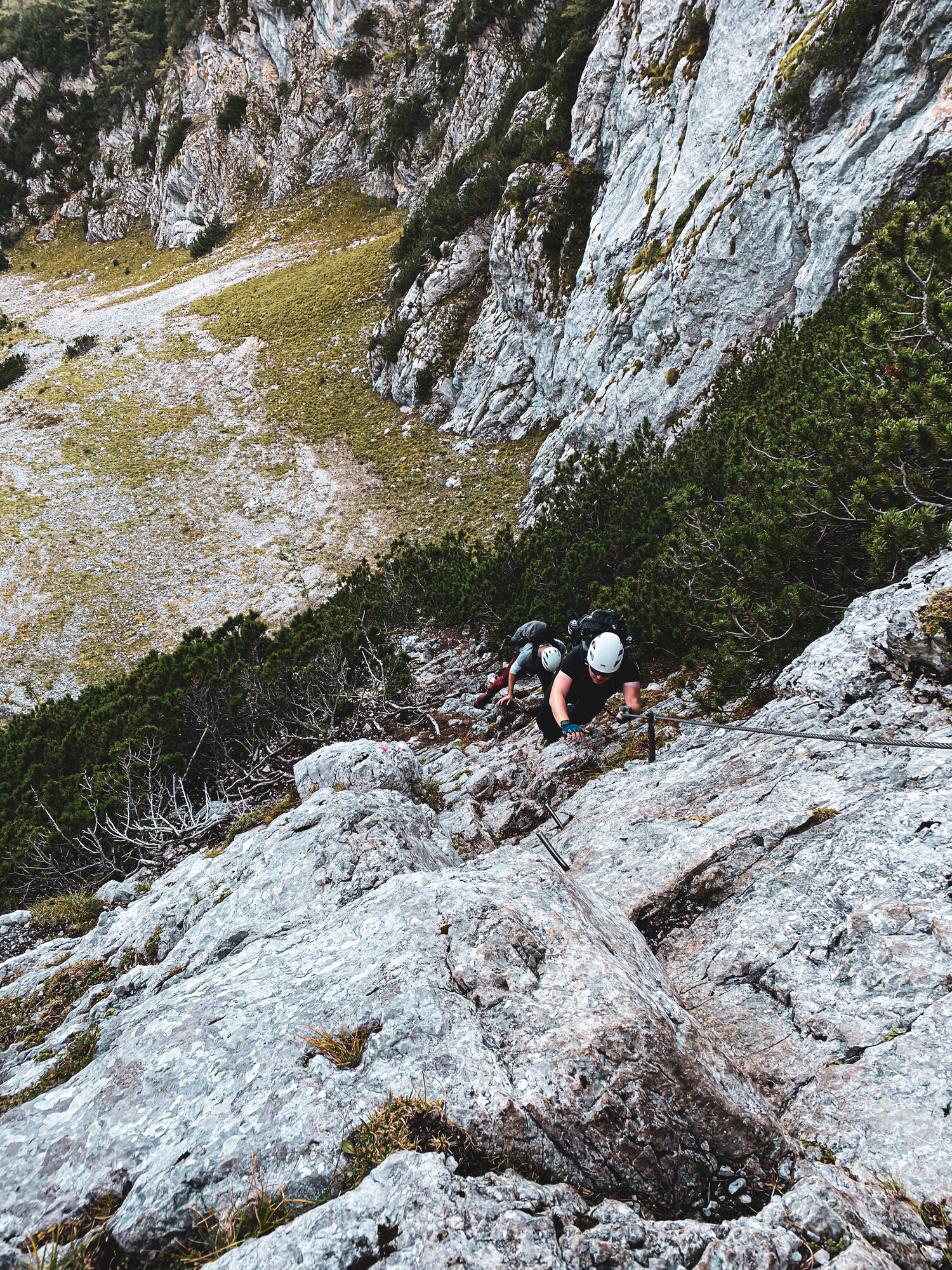
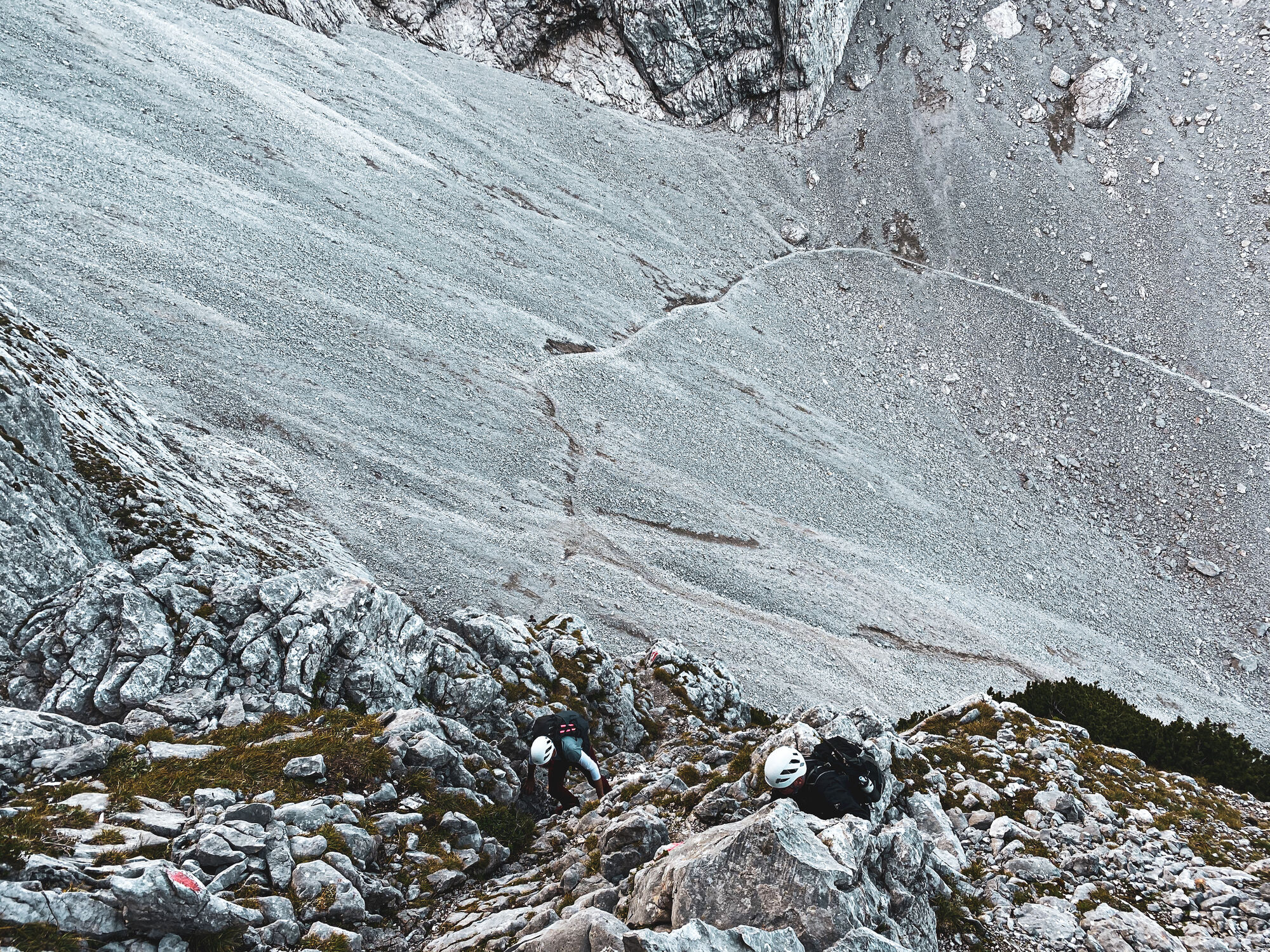
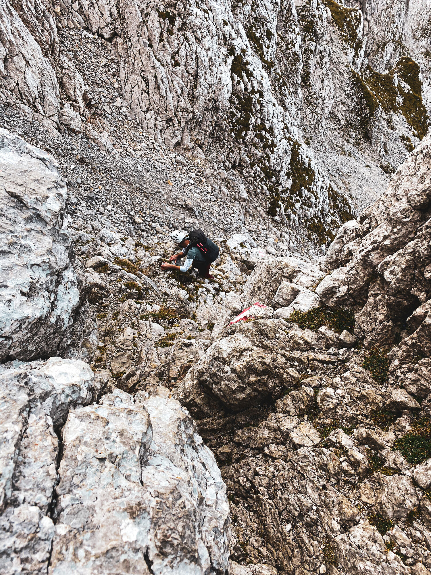
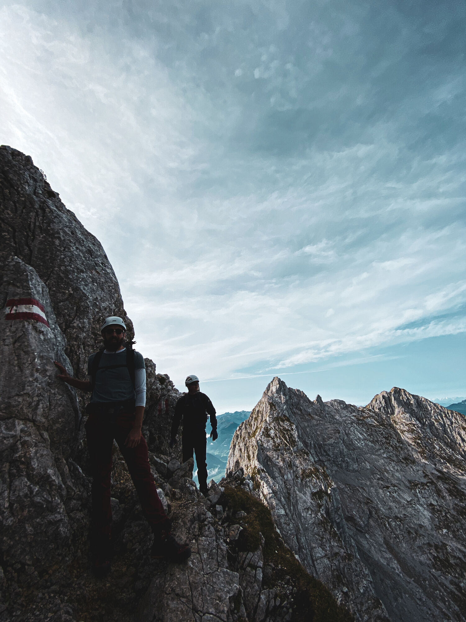
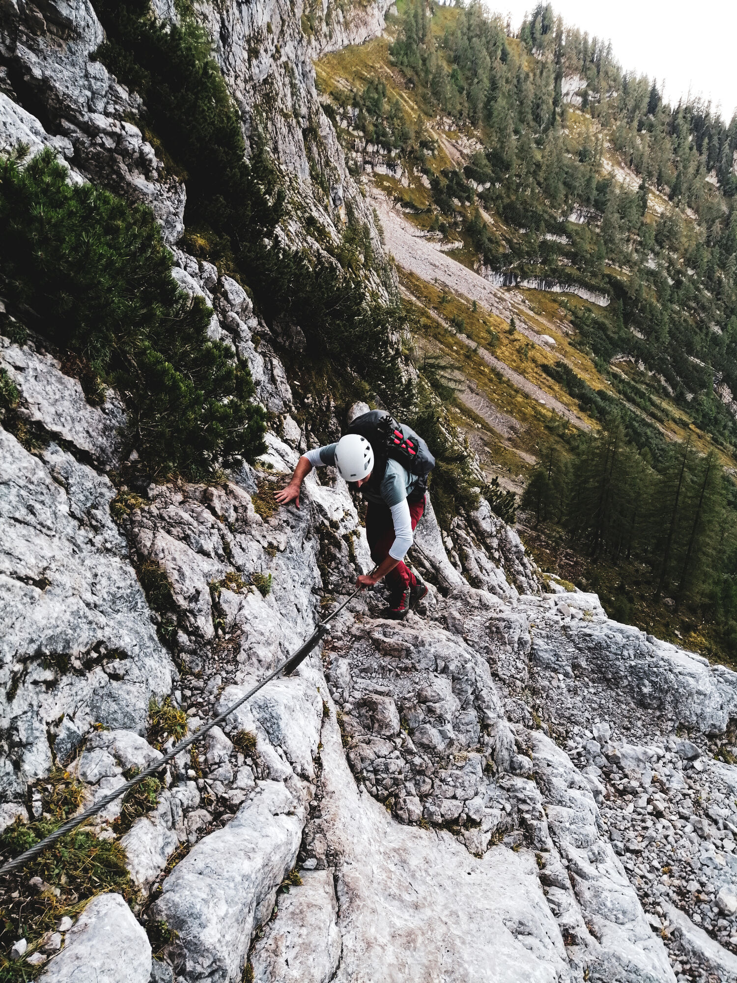
Hiking
- Difficulty
-
difficult
- Rating
-
- Route
-
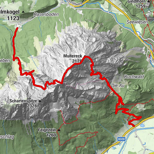
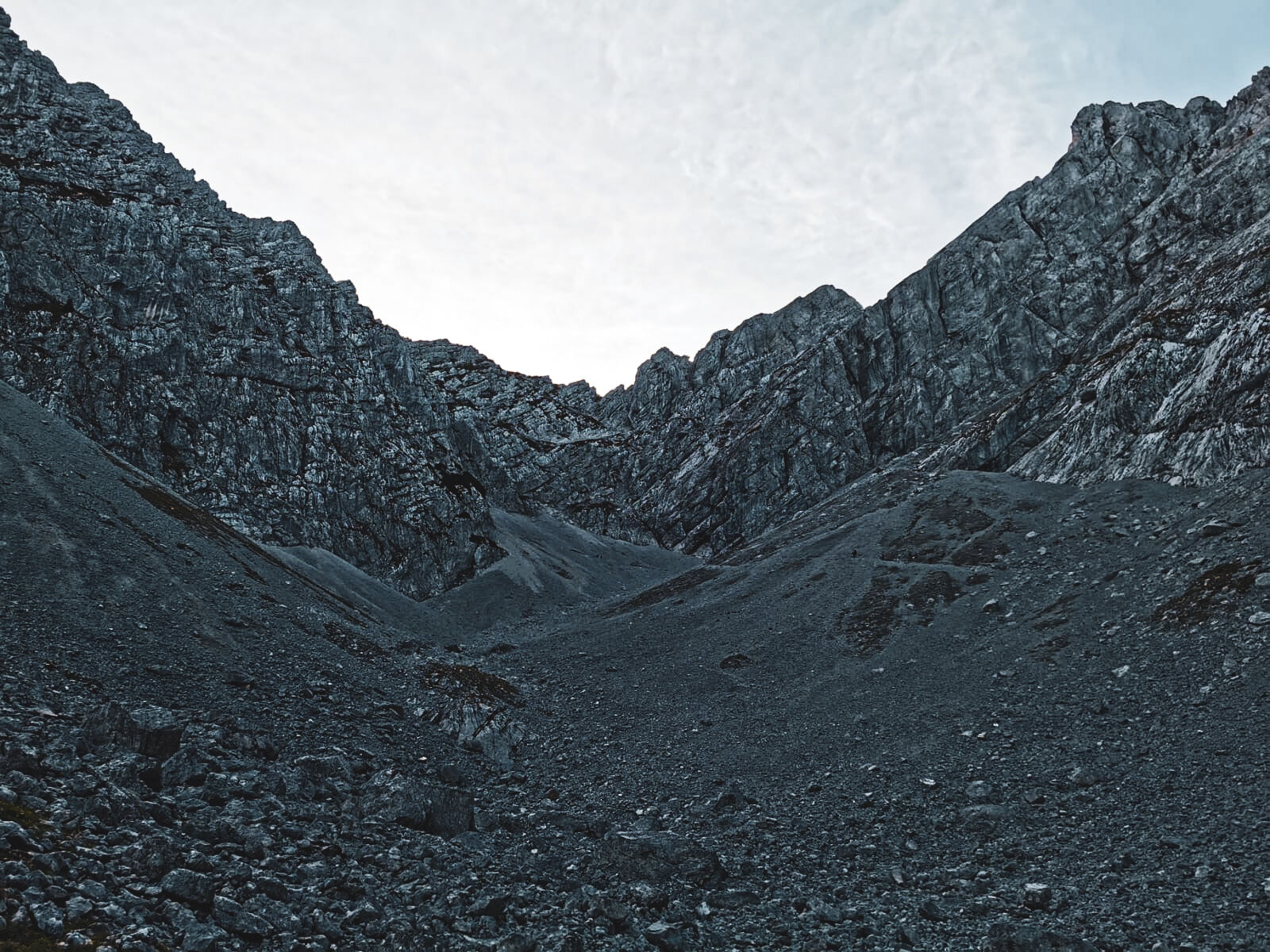
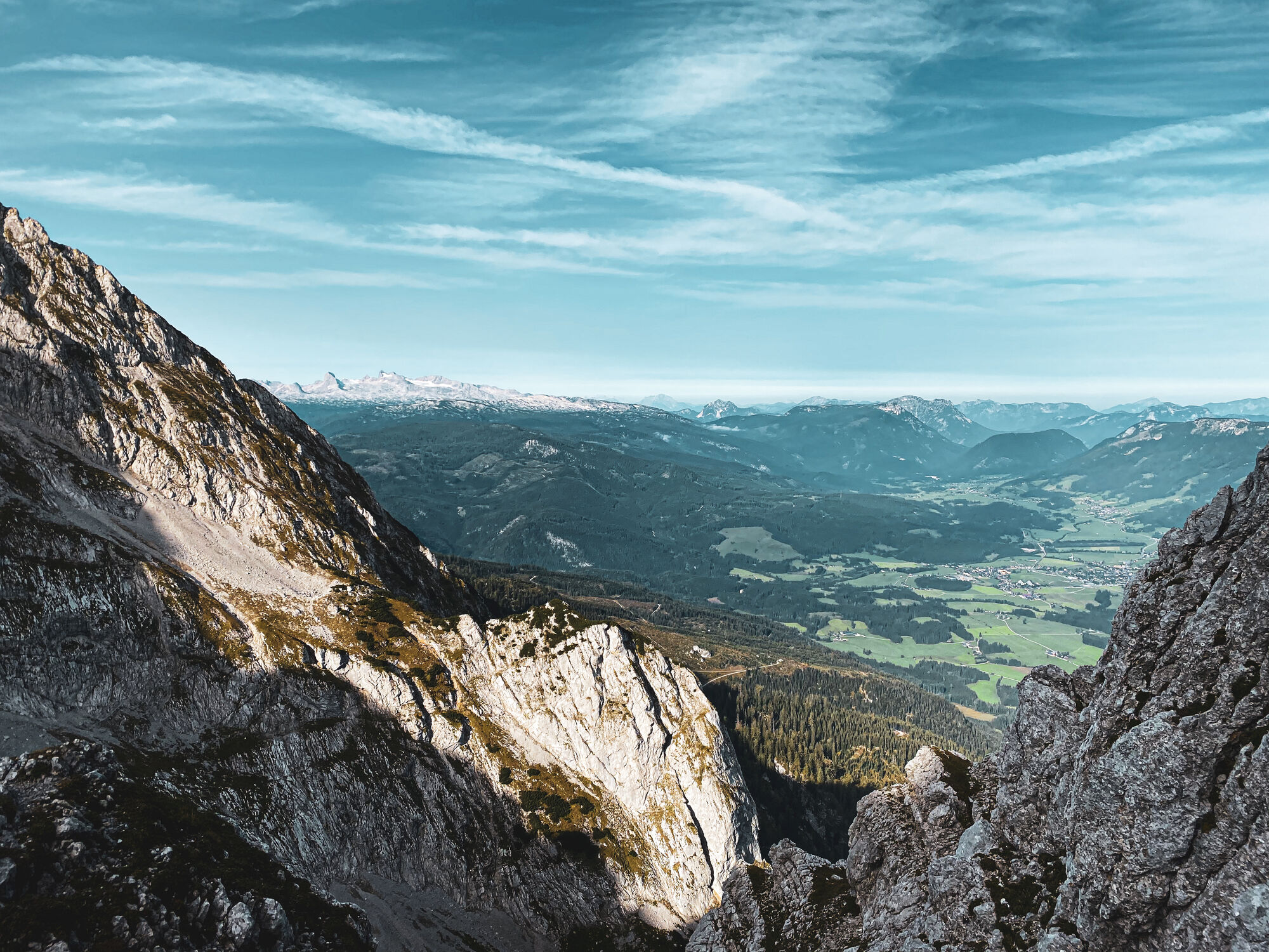
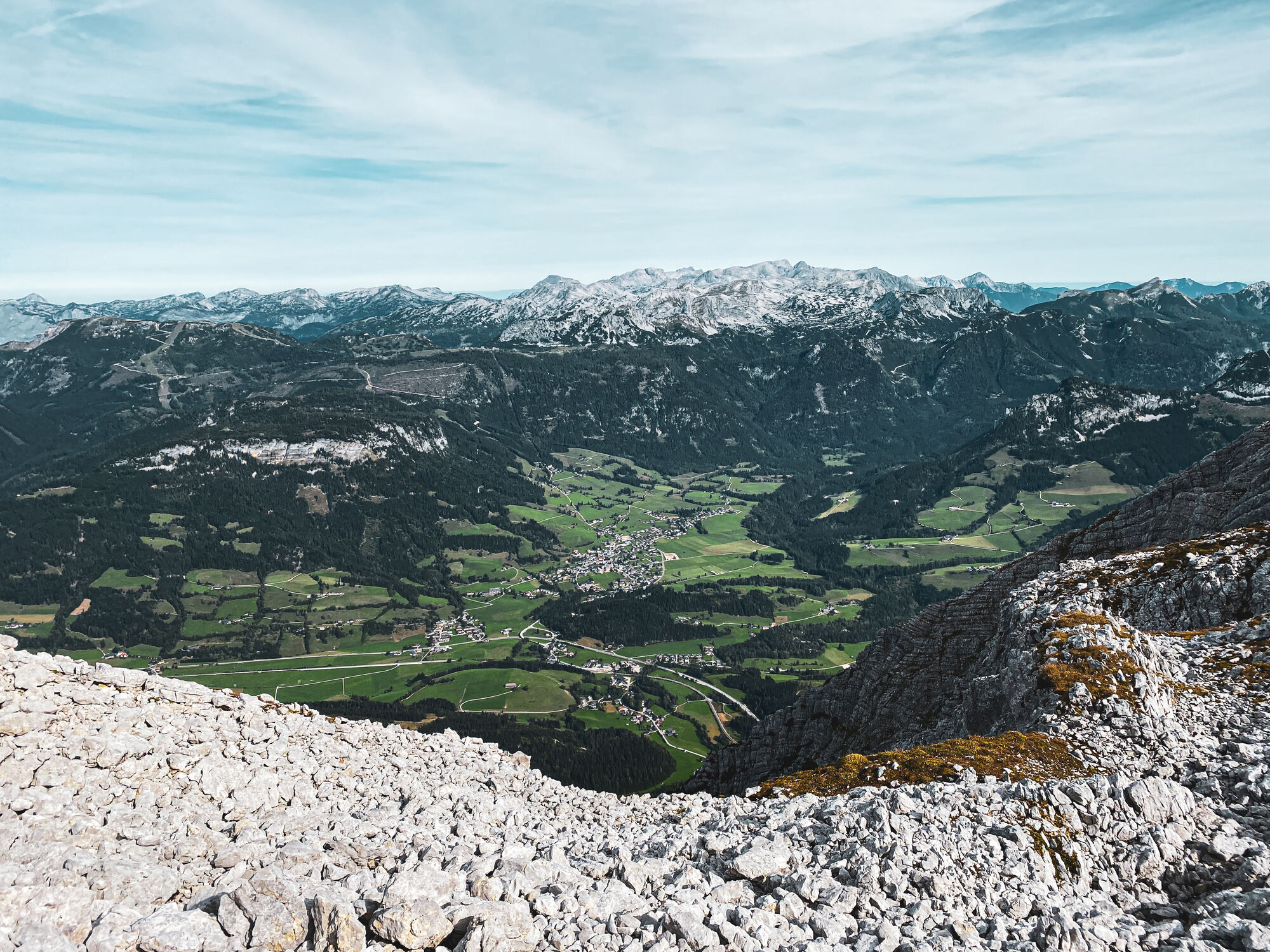
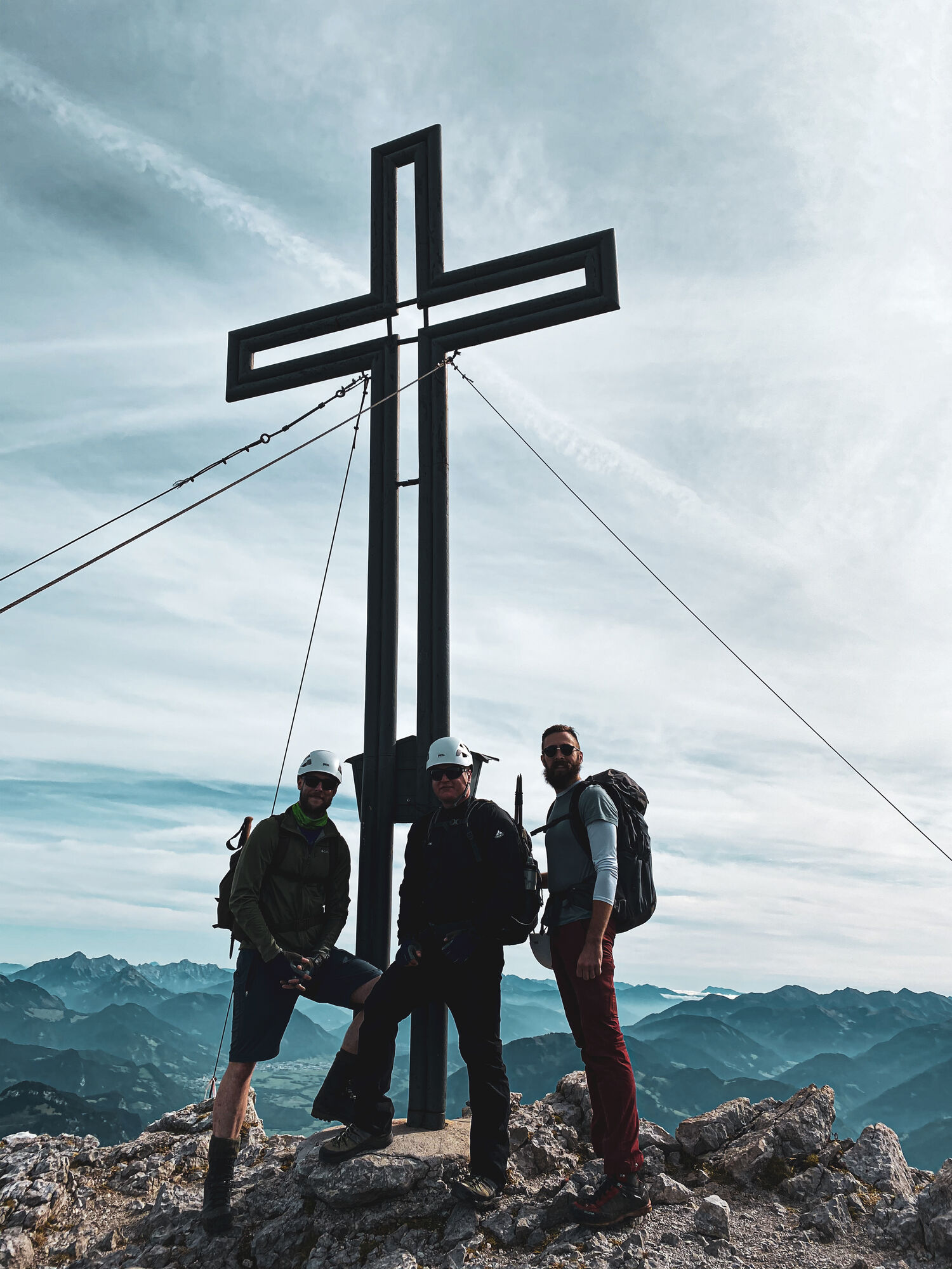
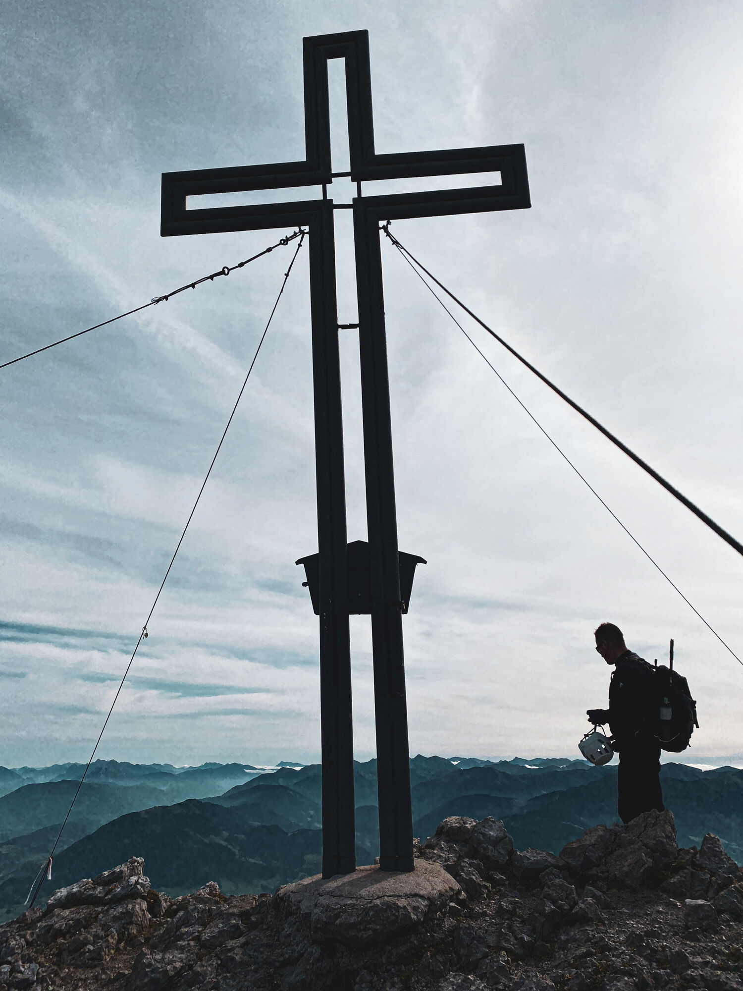
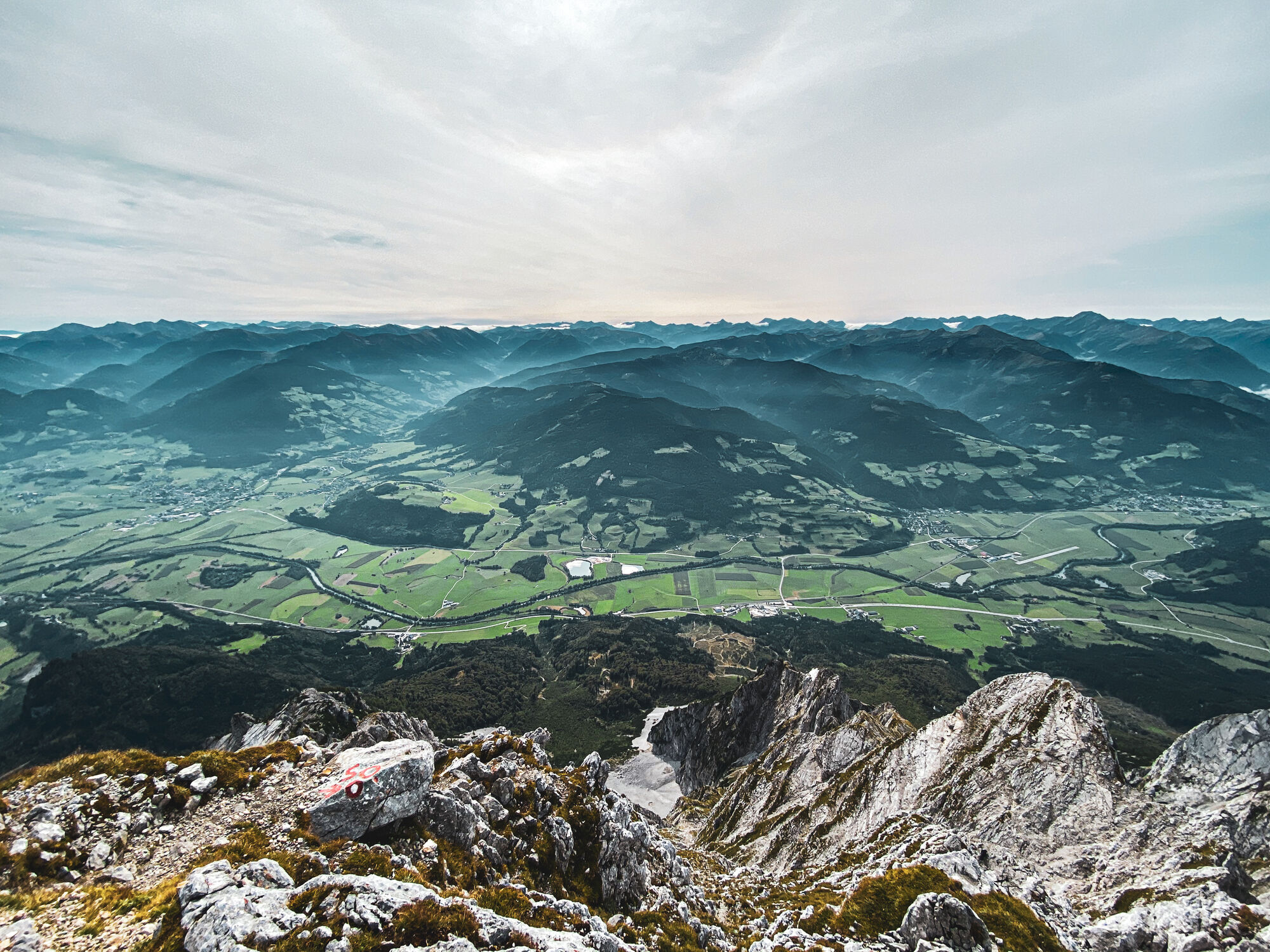
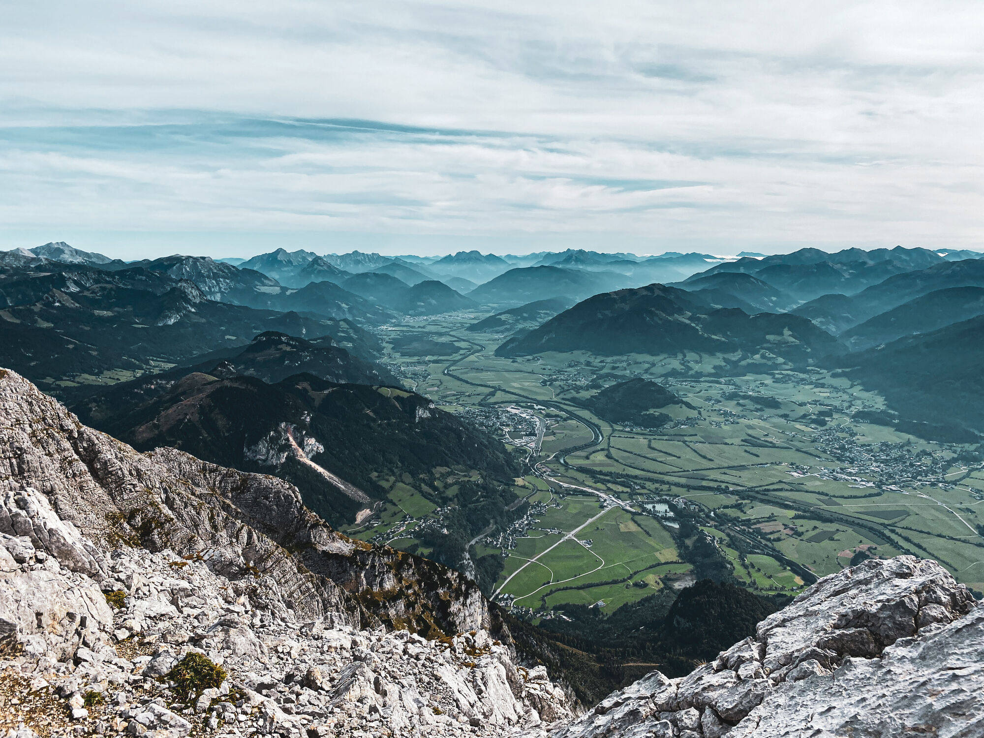
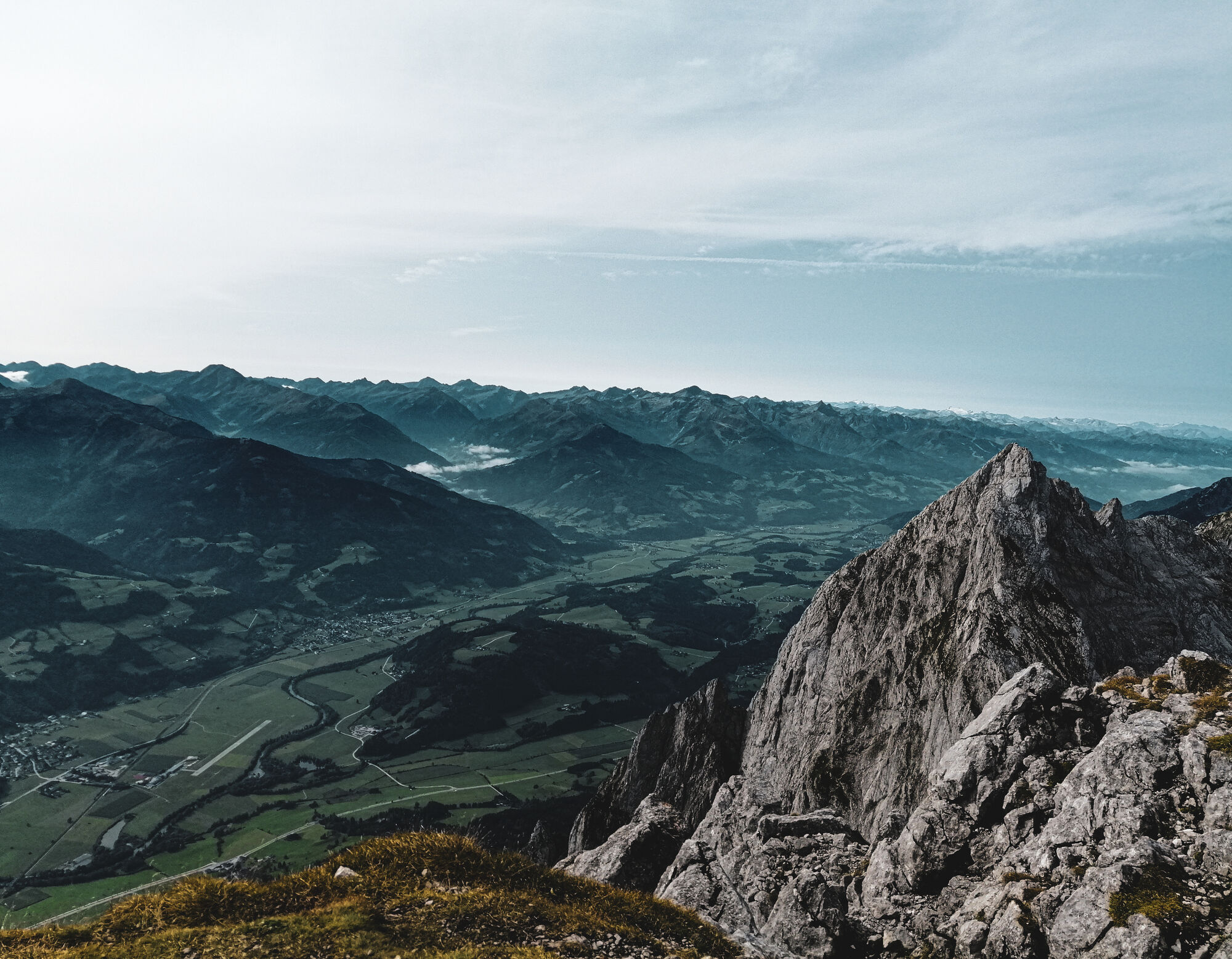
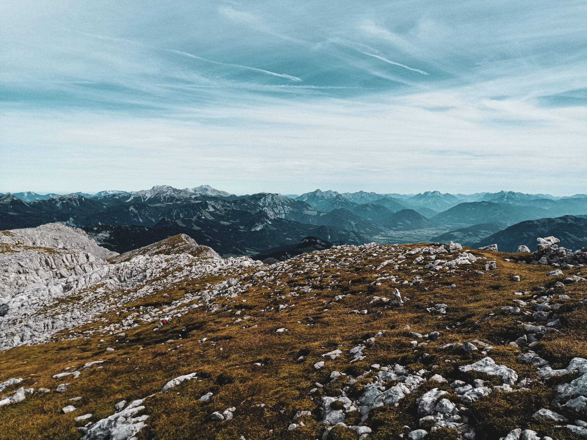
KulmToni Adam-Dr.Obersteiner-Biwak10.7 kmGrimming (2,351 m)11.0 kmMultereck (2,176 m)12.5 kmGrimmingbründl16.9 kmGrimminghütte20.4 kmNiederstuttern24.0 kmSinger-Kapelle24.0 km
- Best season
-
JanFebMarAprMayJunJulAugSepOctNovDec
- Highest point
- 2,782 m
GPS Downloads


Trail conditions
Asphalt
Gravel
Meadow
Forest
Rock
Exposed
Other tours in the regions
-
Ausseerland - Salzkammergut
3382
-
Gröbminger Land
1190
-
Tauplitz
305


