


- Brief description
-
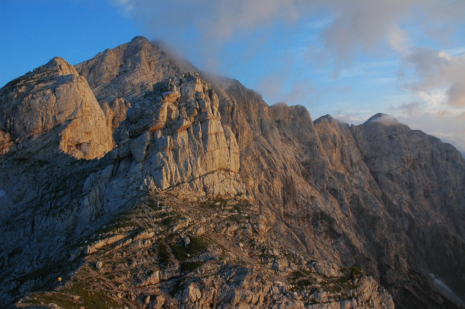
Demanding mountain tour with easy climbing (II), only for the absolutely sure-footed! According to the trail sign, the ascent is described as a via ferrata without belays. RECOMMENDATION: This tour should be done with a mountain guide!
- Difficulty
-
difficult
- Rating
-
- Route
-
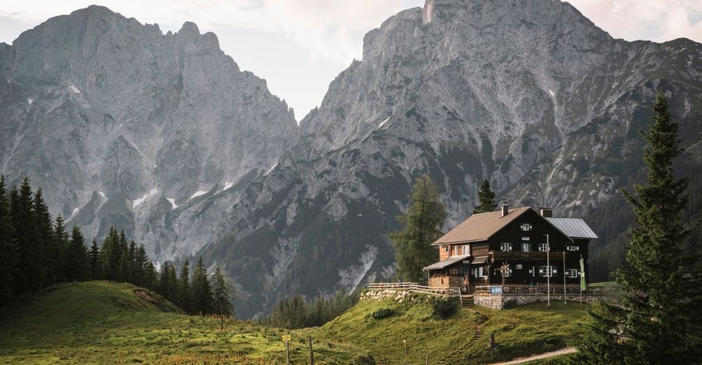
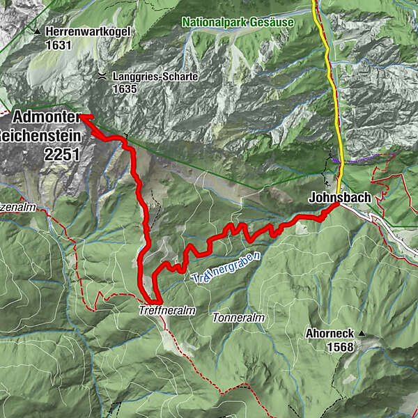
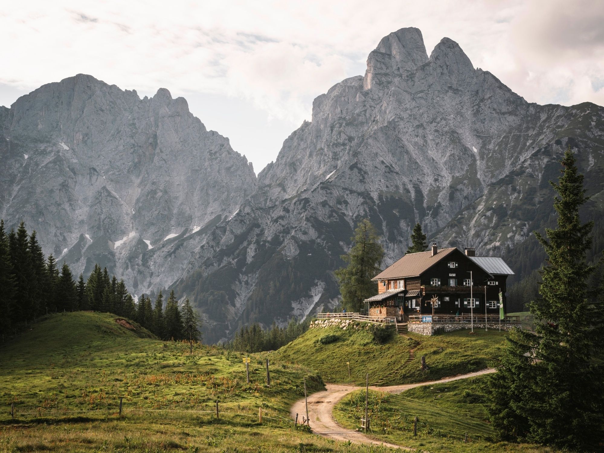
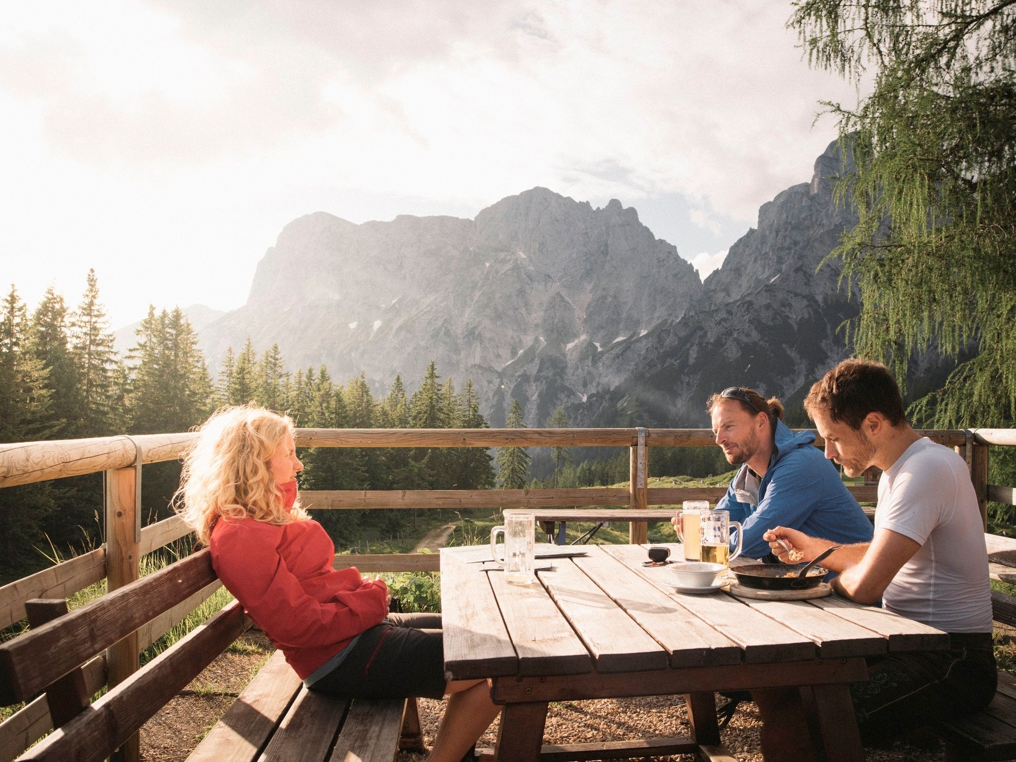
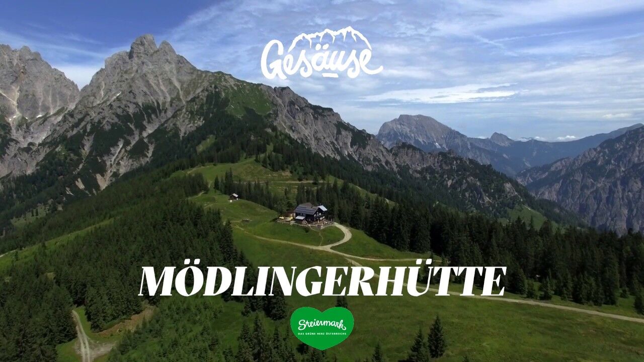
Gasthof DonnerJohnsbach (853 m)Mödlinger Hütte4.4 kmTotenköpfl (2,184 m)7.4 km
- Best season
-
JanFebMarAprMayJunJulAugSepOctNovDec
- Description
-
Challenging mountain tour with easy climbing, only for the absolutely sure-footed! Accompaniment by a state-certified mountain guide is recommended.
According to the trail sign, the ascent is described as a via ferrata without safety devices. Up to the memorial cross on a path, then through scree to the key point (Herzmann-Kupfer-Platte); the ascent is only marked again after the key point.
- Highest point
- 2,233 m
- Endpoint
-
Admonter Reichenstein
- Height profile
-

- Safety instructions
-
Only recommended with mountain guide!Info about local mountain guides at www.gesaeuse.at or under T +43(0)3613/211 60 10
Absolute surefootedness and complete freedom from vertigo are absolutely necessary. Climbing experience is useful, passages must also be mastered on the descent.
- Tips
-
Alternative to the ascent: via toll road from Gaishorn, then it is only a 20-minute walk to the Mödlingerhütte.
- Directions
-
B 146 Gesäusebundesstraße junction Johnsbach, 5 km to GH Donner in Johnsbach
- Public transportation
-
Rufbus Linie 917 Admont - Johnsbach, Fahrplan unter www.busbahnbim.at
- Parking
-
next to GH Donner in Johnsbach
- Author
-
The tour Admonter Reichenstein is used by outdooractive.com provided.


-
Gesäuse
2223
-
Urlaubsregion Pyhrn - Priel
1440
-
Gaishorn am See
304


 & Kaiserschild (rechts)")


