


- Brief description
-
Long, secluded mountain tour across high pastures and cirques dotted with tarns, to a beautifully sculpted, bold summit, with attractive variants for the hike down.
- Difficulty
-
difficult
- Rating
-
- Starting point
-
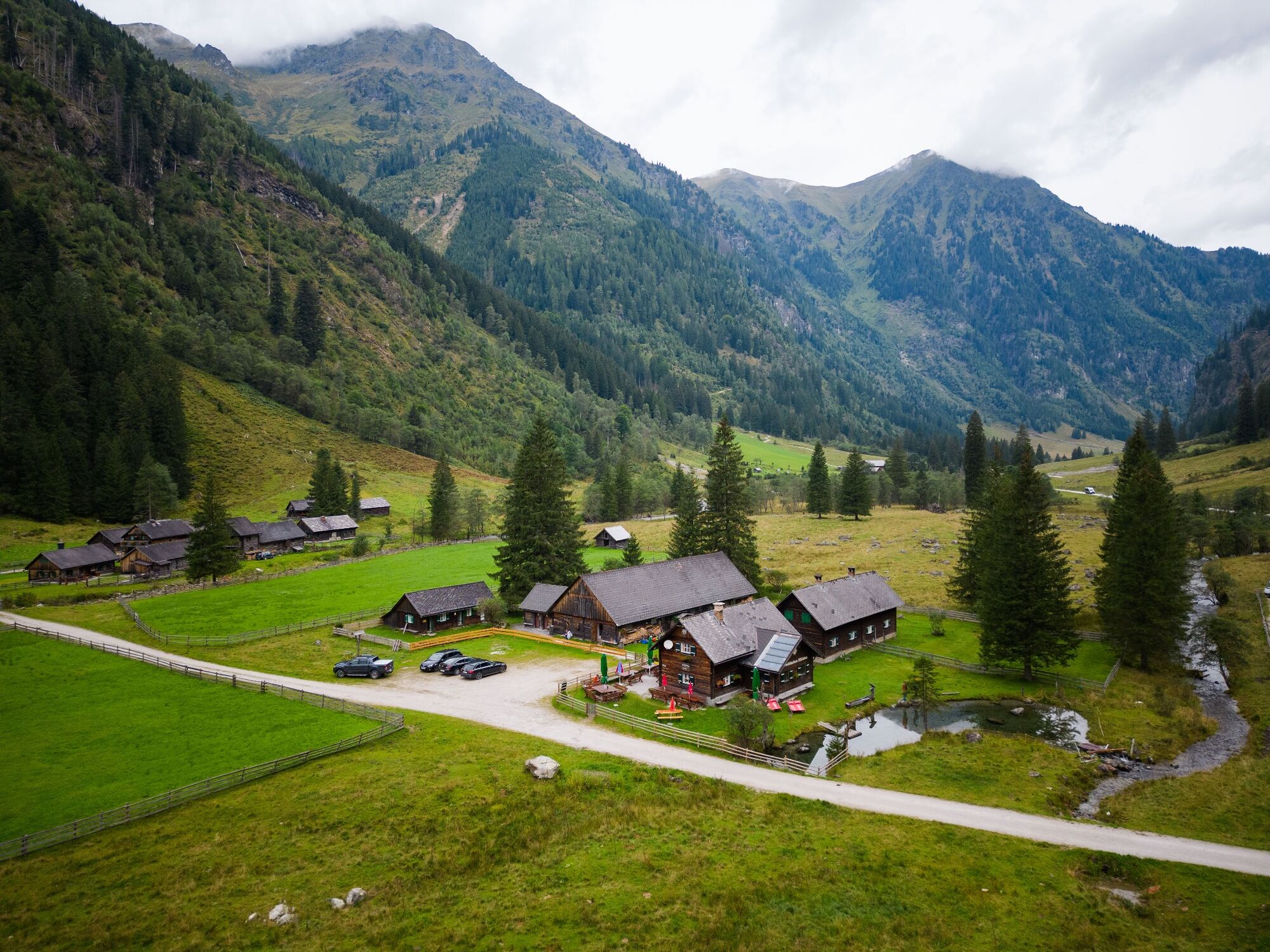
Car parking Breitlahnhütte in Kleinsölk
- Route
-
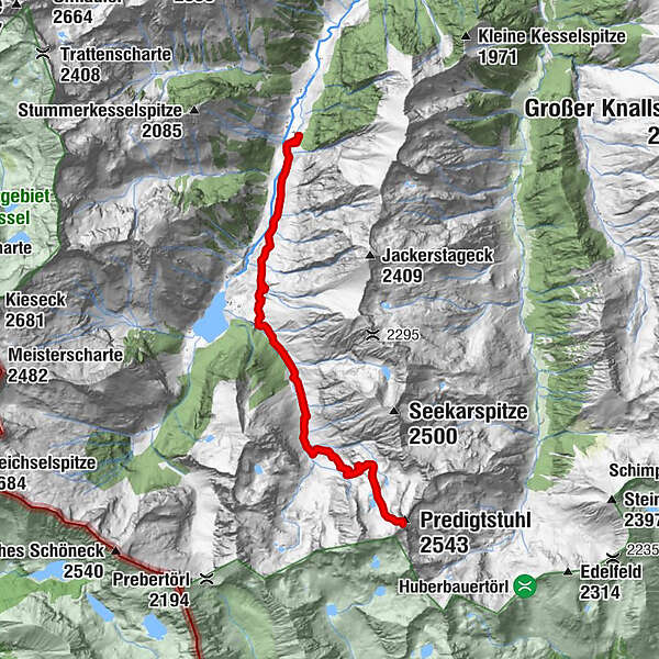
Innere Neualm (verf.)5.5 kmHüttkar8.2 kmPredigtstuhl (2,543 m)8.7 kmInnere Neualm (verf.)12.1 km
- Best season
-
JanFebMarAprMayJunJulAugSepOctNovDec
- Description
-
An attractive alpine tour, not least because of the various terrain features we hike through: broad alpine pastures, ancient forests, high lake plateaus shaped by glaciers, and a rugged peak. From the Breitlahnhütte, we first hike towards the Schwarzensee – after about 30 min. trail No. 793 branches off to the left just before the Grafenalm (giant spruce tree), leading us through the forest and beautiful clearings to the Neualm. Enjoying a very leisurely walk, we now hike to the Innere Neualm and the trail crossing, where the two trails 702 (Rantentörl) & 793 (Predigtstuhl) separate. Now things get serious – trail No. 793 ascends steeply through an old larch forest to the Hüttkar, now above the tree line.
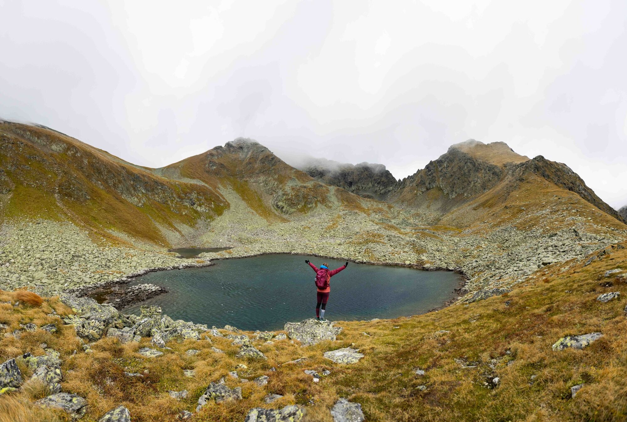
The landscape is marked by rounded rocky knobs worn smooth by glaciers, along with a few tarns. An ideal spot for a break accompanied by beautiful views. Directly above the Hüttkar, a steep trail ascends towards the alpine gap at the summit, taking us through a gully strewn with rocky debris, where we will need to tread carefully. From the gap, the again rocky trail takes us through some passages secured by cables and directly to the beautiful summit. The views from there are magnificent, especially those of the Hohe Tauern peaks to the west, along with the surrounding cirques and valleys deep below. Somewhat longer, though more exciting, is a descent around the Wiegeneck, instead of following the steep gully. To do so, at the gap we will follow signs for trail No. 702, hiking down over fields of boulders and narrow rocky ridges, passing by a crystal-clear lake and crossing the grassy hillside to the Rantentörl.
Now begins a long descent: We first drop from the Törl down to the delightful Holzkarsee which, with its shoreline lined by cotton grass, makes for quite a contrast to the rocky scenery of the Predigtstuhl. Now making another steep descent, our trail takes us to the Rossboden in the Steinkar, then alongside a waterfall steeply down to the Innere Neualm, where we once again meet up with trail No. 793, now hiking on to the Breitlahn Hütte.
Comment: long, yet beautiful. Tip: only attempt in stable weather conditions! - Directions
-
Alpine and forest paths, alpine climbs, steep gorges and somewhat exposed (rope insurances) to the summit.
- Highest point
- 2,488 m
- Endpoint
-
Predigtstuhl
- Height profile
-

- Equipment
-
Take rainproof and warm clothing and enough water, possibly also a snack, wear shoes with non-slip tread soles. A first aid kit should also be in your rucksack. Attention: sure-footedness and a head for heights are required - possibly also pack a rope.
- Safety instructions
-
Weather changes, rapid drop in temperature, thunderstorms, wind, fog and snowfields are objective dangers and require the right behaviour on the way. Hut keepers are experienced mountain experts, they can give good tips on the weather and the course of the trail. Lack of equipment, overestimation of one's own abilities, carelessness, poor physical condition and a wrong assessment can lead to critical situations. During thunderstorms: Avoid peaks, ridges and rope belays at all costs.
GPS data and orientation aids:Available GPS data - like hiking maps - are only an orientation aid, as they can never represent an exact image or the richness of detail of a path in reality. Particularly in the case of danger spots, it must therefore always be decided in the end on the basis of the conditions on site whether and what the further course of the path will be.
In case of emergency, please dial the following emergency calls:
140 - for alpine emergencies - Austria-wideNo.
112 - Euro emergency call GSM emergency call service - Tips
-
There is a themed nature trail up to the Schwarzensee. Many refreshment stops along the way!
SummitLynx - your digital summit and hut book - available worldwide and always with you!
As there is no internet reception in the entire valley, payments (tolls and hut keepers) are only possible with cash.
- Additional information
-
Tour at your own risk! No liability whatsoever is accepted for any alpine hazards that may occur (weather, etc.).
Further information is available from the Schladming Dachstein Tourist Office.
Information Office Nature Park Sölktäler:Phone: +43 3687 23310 501
naturpark@soelktaeler.com
Stein on the Enns 107
8961 Sölk - Directions
-
Branch off from the Ennstalbundesstraße B320 at Pruggern to Sölktäler. From Stein an der Enns to the Kleinsölktal until you reach the Breitlahnhütte
- Public transportation
-
The valley bus makes crossings in the Sölktäler Nature Park possible on weekdays. Likewise, you can arrive comfortably by train and the Tälerbus will take you to your accommodation or the starting point of your hike. This bus runs on weekdays during the Styrian summer vacations. You can find all information about the departure times here.
- Parking
-
Parking area Breitlahn Hütte
- Author
-
The tour Summit Tour of the Predigtstuhl - 2543m is used by outdooractive.com provided.


General info
-
Schladming - Dachstein
3000
-
Naturpark Sölktäler
926
-
Lessach
181


