


- Brief description
-
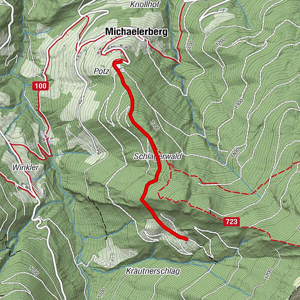
Easy family hike from the scenic Michaelerberghaus to the Stiegleralm.
- Difficulty
-
easy
- Rating
-
- Starting point
-
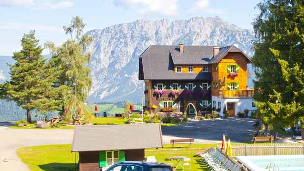
Michaelerberghaus above Pruggern (road access)
- Route
-
MichaelerbergMichaelerberghaus0.0 km
- Best season
-
JanFebMarAprMayJunJulAugSepOctNovDec
- Description
-
With a fantastic view over the Dachstein massif you walk from the Michaelerberghaus on a gravel path (suitable for pushchairs/prooms) to the Stiegleralm (not managed).
- Directions
-
The broad gravel path leads through the forest. The trees give shadow on hot days. Again and again you pass beautiful vantage points into the Sattental and Ennstal. Shortly before the Stiegleralm, the path becomes steeper again over the last 500 metres.
- Highest point
- 1,394 m
- Endpoint
-
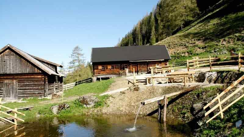
Stieglerhütte
- Height profile
-

- Equipment
-
For alpine routes, the basic equipment includes a hood, gloves, a good jacket and trousers. Good, waterproof shoes, sunglasses, sun protection and plenty of drinks are essential. Flashlight, maps, knives and a small first aid box are also included.
- Safety instructions
-
Weather changes, rapid temperature drops, thunderstorms, wind, fog and snow fields are objective dangers and require the right behaviour on the road. Hutkeepers are experienced mountain experts who can give good tips on the weather and the route. Lack of equipment, overestimation of one's own abilities, carelessness, poor physical condition and a wrong assessment can lead to critical situations. During thunderstorms: Avoid peaks, ridges, trees and rope belaying at all costs.
In an emergency, please dial the following emergency calls: No. 140 - Mountain Rescue No. 112 - Euro Emergency Call
- Additional information
-
Safety information
Safety on the mountainside: changes in the weather, sudden fall in temperature, thunder storms, wind, fog and snow fields are all objective dangers and require the correct behaviour whilst underway. The landlords of the huts are all very knowledgeable about the mountains and can give you good tips about the weather and the routes. Insufficient equipment, exaggerated opinion of ones capabilities, frivolousness, poor health condition and a false evaluation of the situation can lead to a critical situation. In thunder storms: summits, crest-sites and safety rope aids are to be avoided.If something should happen call following emergency numbers:
No. 140 - the number for all Alpine Emergencies in all of Austria
No. 112 - European emergency call GSM emergency-call-service - Directions
-
The Michaelerberghaus can be reached through Pruggern.
- Parking
-
Michaelerberghaus
-

-
AuthorThe tour Hike from the Michaelerberghaus to the Stiegler Hütte is used by outdooractive.com provided.


General info
-
Schladming - Dachstein
3000
-
Gröbminger Land
1189
-
Michaelerberg-Pruggern
232


