
- Brief description
- Difficulty
-
easy
- Rating
-
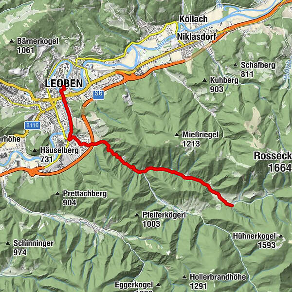
- Starting point
-
Leoben main square
- Route
-
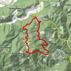
Klein-Gößgraben0.8 kmMaria Kaltenbrunn4.8 kmKaltenbrunn5.7 kmErlsbacher6.2 kmGöß7.1 kmNepomukkapelle7.6 kmSt. Alfonskirche8.6 kmWaasen8.9 kmLeoben9.2 km
- Best season
-
JanFebMarAprMayJunJulAugSepOctNovDec
- Description
-
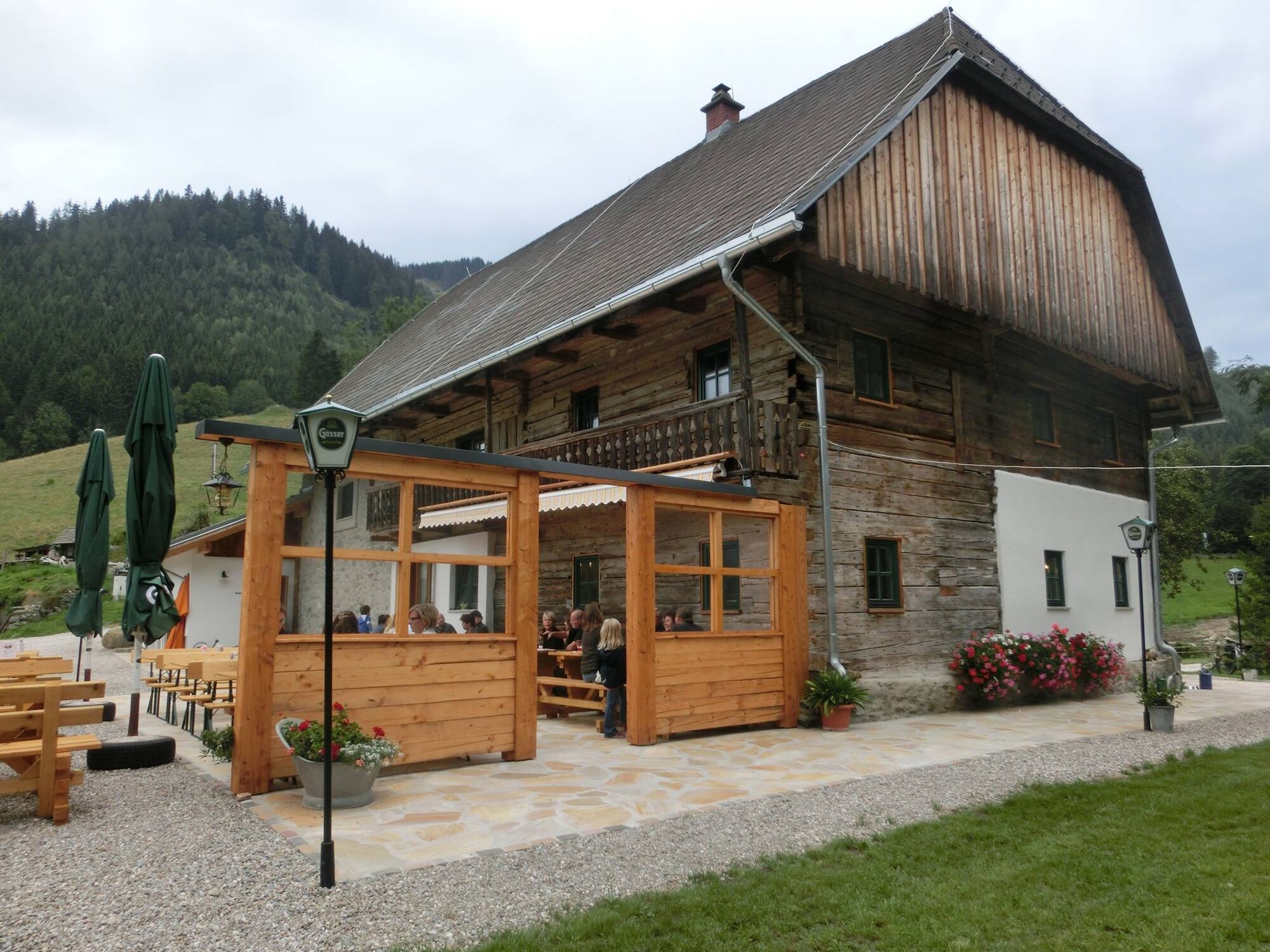
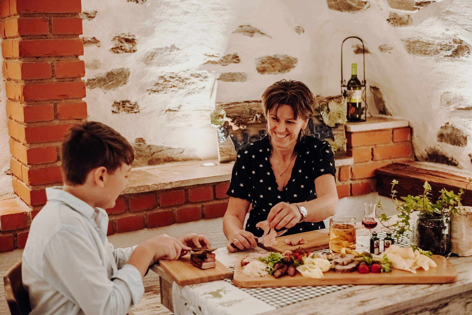
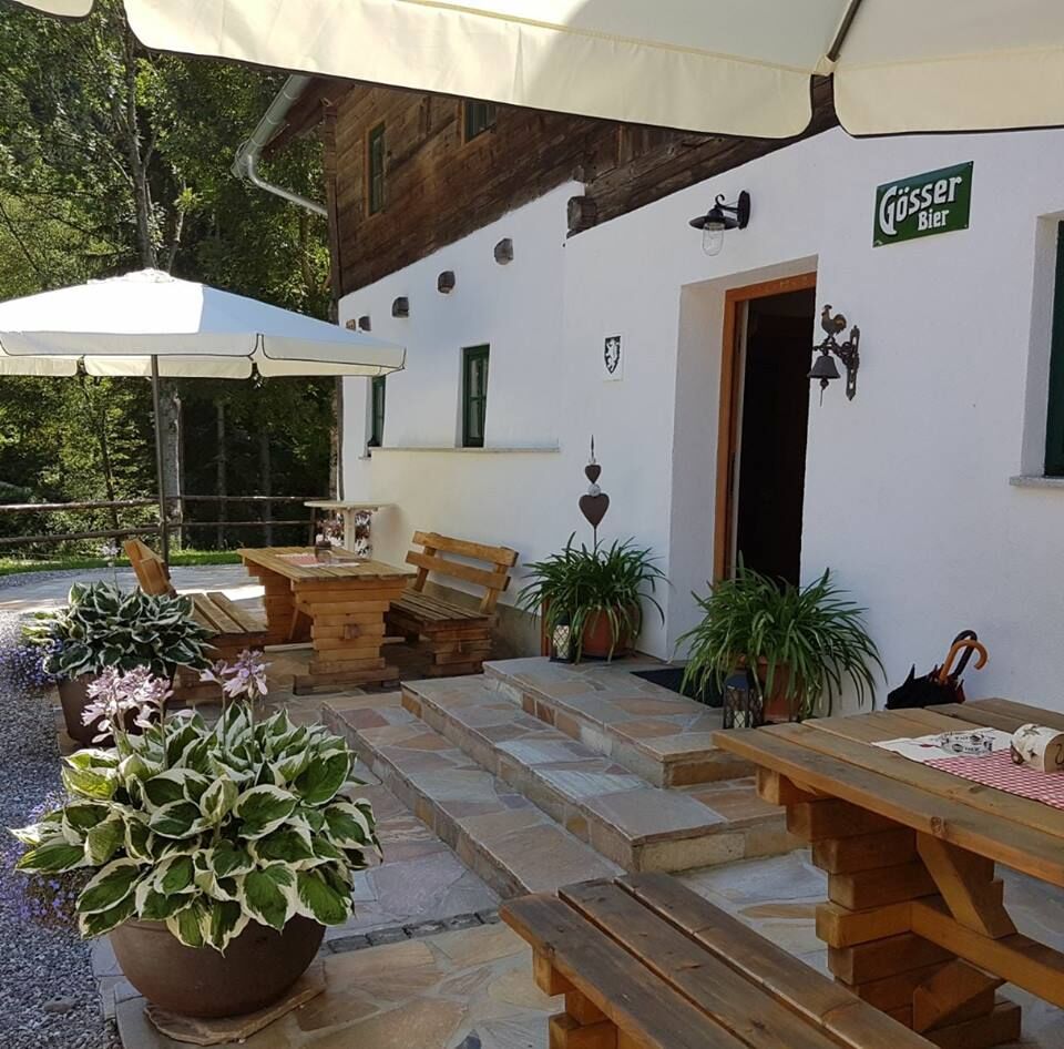
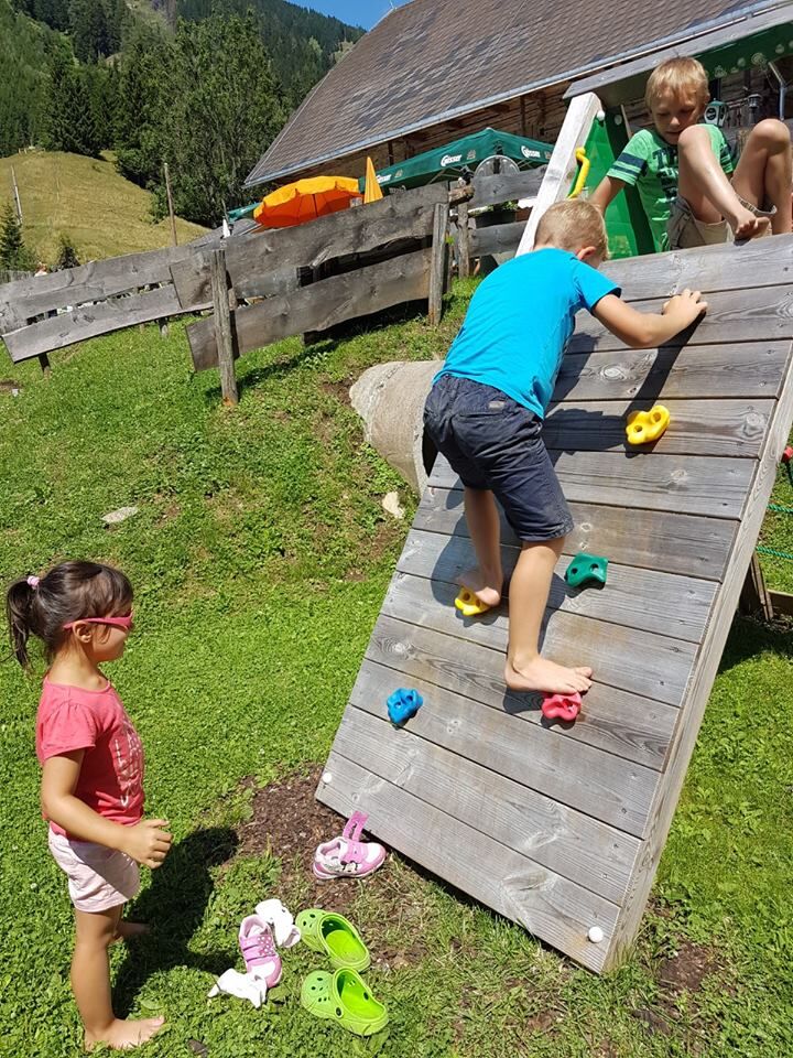
The Stadlmaier Alm is 10 km away from the main square in Leoben. It is managed from mid-May to 26 October and is a great hiking and excursion destination for the whole family. The Almhütte is the oldest building in Leoben Kleingössgraben, the foundation walls date back to 1112, the Alm was renovated from 2009 to 2015. You linger comfortably with homemade delicacies such as Schweinsbrat'l, Brettljause, pastries, an guat`n Most and an guat'n Achterl wine.
Enjoyable delicacies and home-produced delicacies of the house await you. The snack station is also accessible by car.
- Directions
-
From the main square in Leoben we start our hike in the direction of Schwammerlturm and over the Waasenbrücke. There we turn left into Marekkai and follow along the Mur to Göss From the traffic circle in Göss we head towards Kaltenbrunner Straße, past the Erlsbacher inn - towards Kleingössgraben. After a few kilometers you will pass the Stadlmaier-Alm (on the left side).
It is also possible to drive by car to the alpine hut.
- Highest point
- 918 m
- Endpoint
-
Leoben main square
- Height profile
-

- Equipment
-
Proper backpacking makes many things easier: pack heavy things first. The water bottle should always be within easy reach in a side pocket. All things that are often needed, such as sunglasses, camera or hiking map, belong on top. An emergency kit including blister plaster belongs in every backpack and dressing according to the "onion system" is always recommended! Sturdy shoes - gravel road
- Safety instructions
-
Proper planning is a must before any tour.
Emergency call rescue: 144 Tip on reporting an emergency - give answers to the six W-questions: What happened? How many injured? Where did the accident happen (possibly GPS coordinates)? Who is reporting (callback number)? When did the accident happen? Weather at the accident site?
- Tips
-
Chapel Maria Kaltenbrunn
Göss Monastery
Gösseum
- Additional information
-
Tourismusverband ERZBERG LEOBEN
Tourist office
Hauptplatz 3
8700 Leoben
Phone: +43 3842 481 4 810
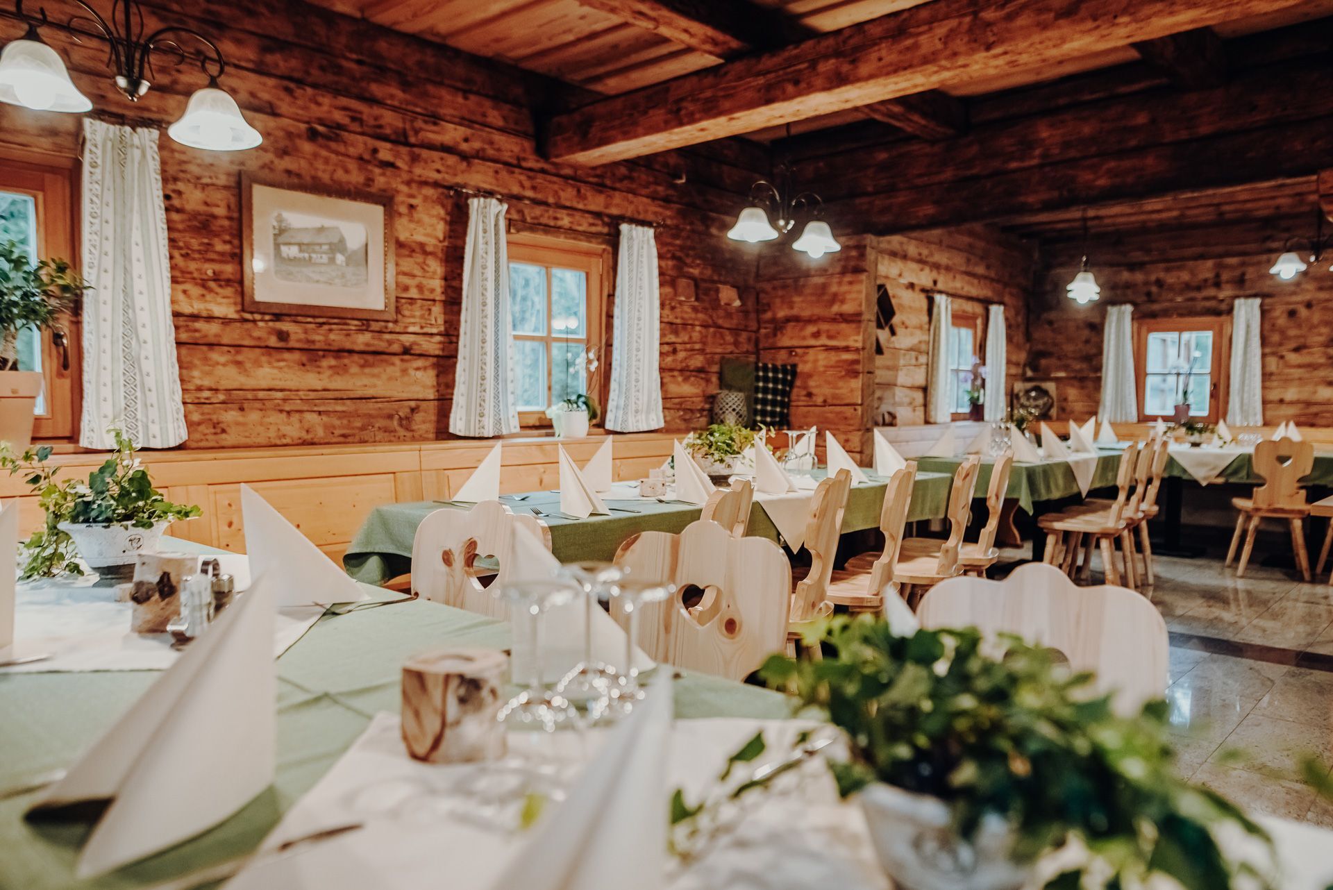
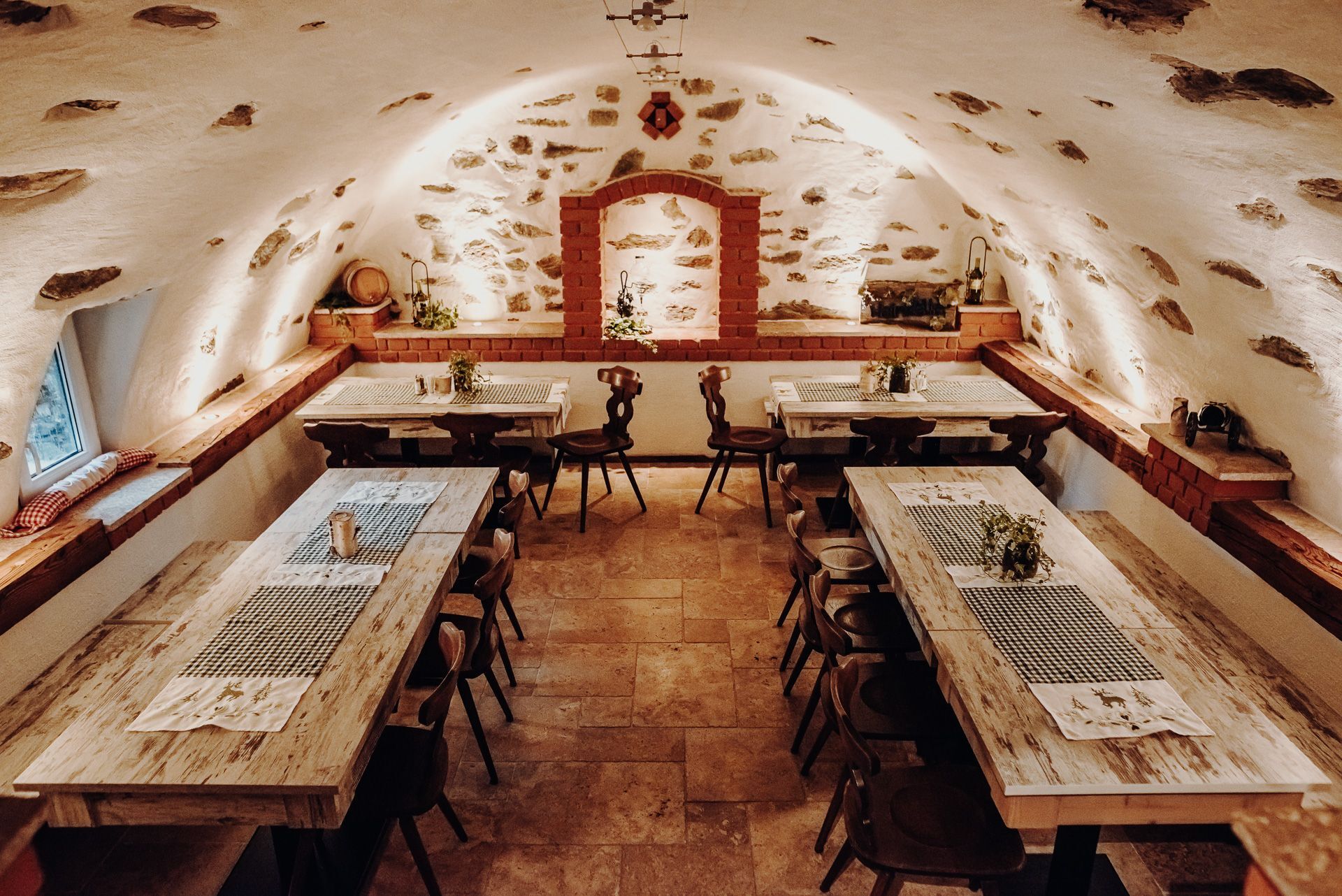
Birgit & Rainer BleyerKleingössgraben 9A-8700 LeobenM: +43 (0) 676 435 20 71M: +43 (0) 676 435 20 72Opening hours: Mid-May-Oct. 26, Fri. 2-8 p.m., Sat. 10 a.m.-8 p.m. and Sun. 10 a.m.-6 p.m.Suitable for groups: up to 55 persons, wine cellar: 20 persons, outdoor area: 80 persons
- Directions
-
From the traffic circle in Göss, head in the direction of Kaltenbrunner Straße, past Gasthof Erlsbacher - in the direction of Kleingössgraben.After a few kilometers, you will pass directly by the Stadlmaier-Alm (on the left).
- Public transportation
-
Timetables and travel information can be found directly at: Österreichischen Bundesbahnen (ÖBB), Steiermärkischen Landesbahnen (STLB), www.busbahnbim.at
With the BusBahnBim app of the Verbundlinie, timetable information has never been easier: all bus, train and tram connections in Austria can be queried by entering locations and/or addresses, stops or important points. The app is available as a free app for smartphones (Android, iOS) - on Google Play and in the
- Parking

- Author
-
The tour Stadlmaier Alm - excursion pasture in Leoben is used by outdooractive.com provided.


General info
-
Erzberg Leoben
2529
-
Bruckmur-Kapfenberg
1500
-
Proleb
290