


- Brief description
-
Easy tour with some ascents and beautiful view.
- Difficulty
-
easy
- Rating
-
- Starting point
-
Hiking trail head Planai stadium
- Route
-
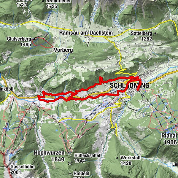
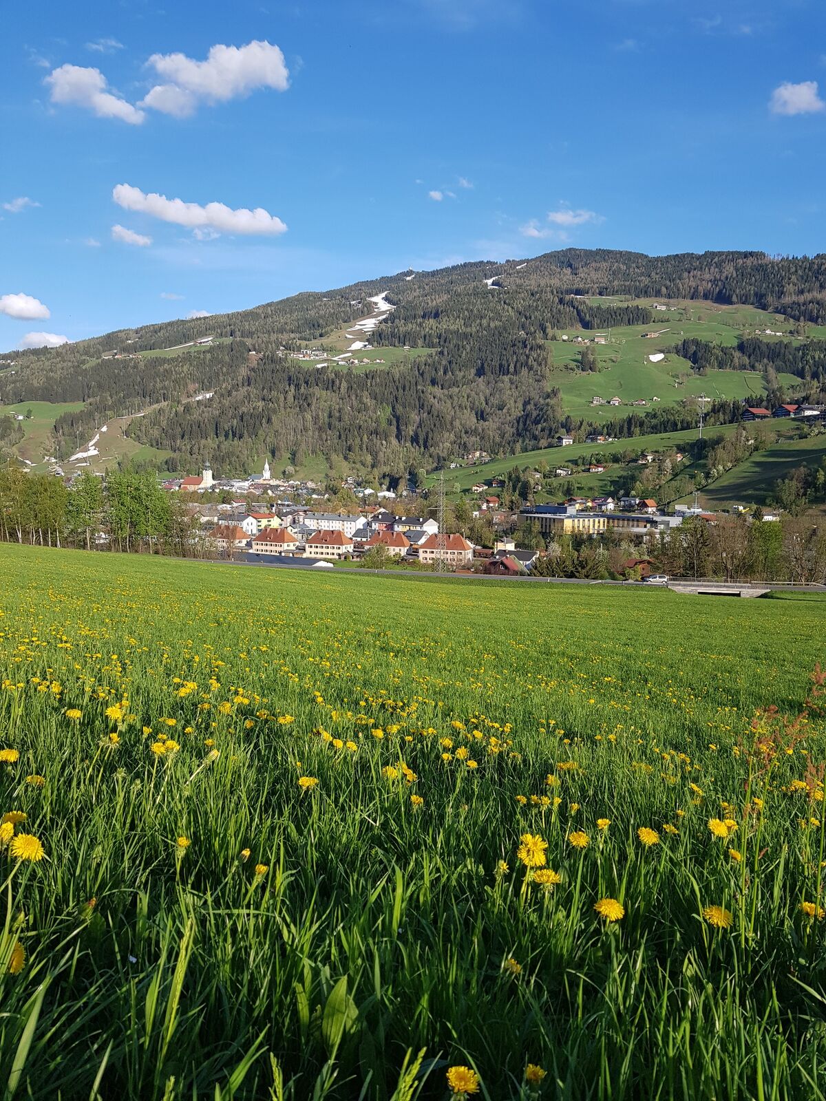
Schladming (745 m)0.0 kmSeebacher-Siedlung0.8 kmMaistatt15.1 kmSchladming (745 m)16.4 kmSeebacher-Siedlung17.2 km
- Best season
-
JanFebMarAprMayJunJulAugSepOctNovDec
- Description
-
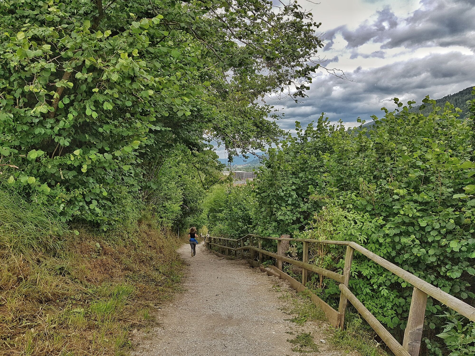
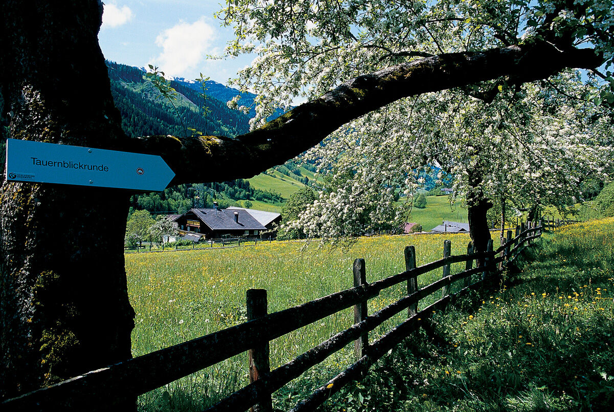
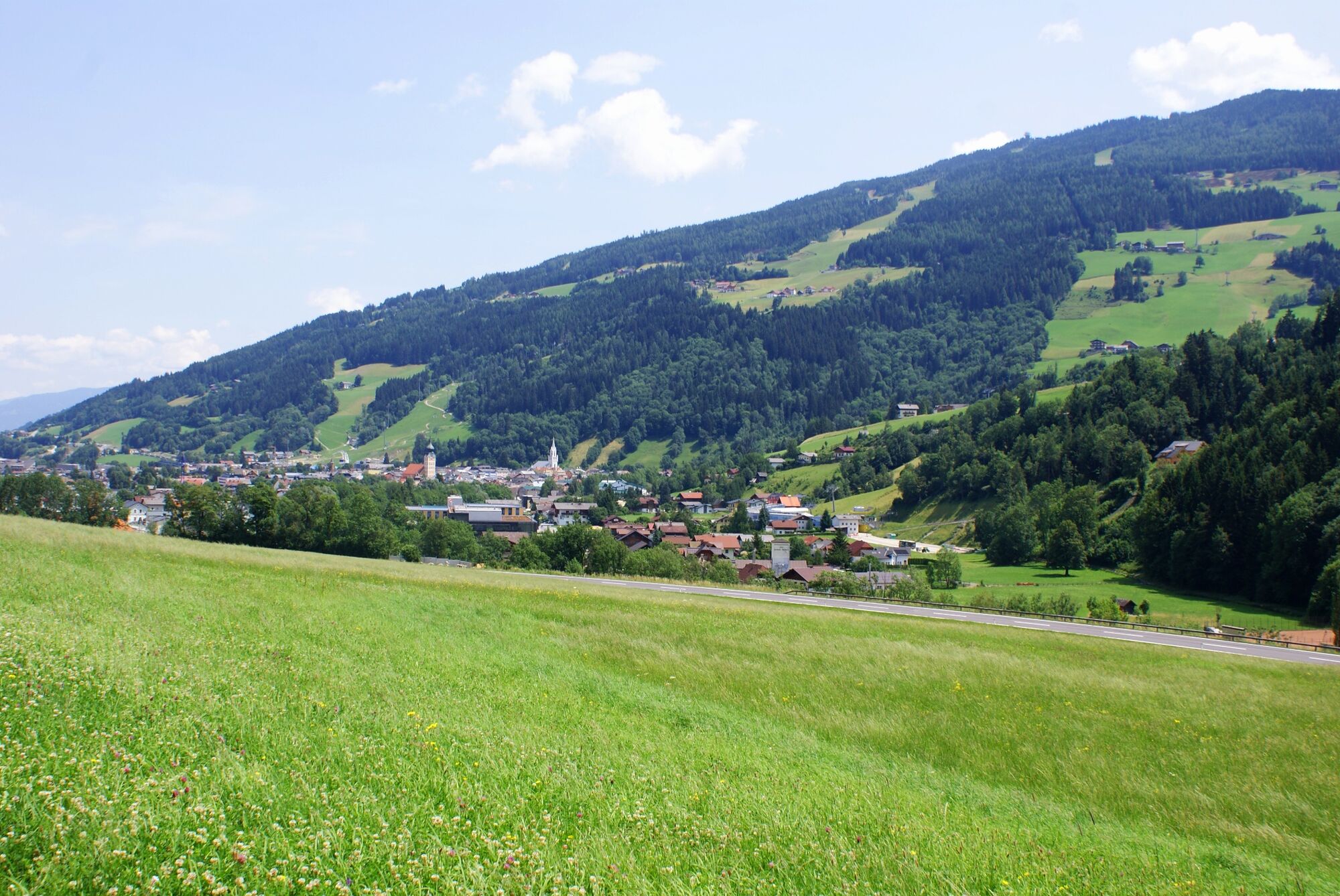
The Tauern Panorama Tour is a very easy, but extensive trail connecting Schladming and the village of Pichl on either sides of the Ennstal valley. Along the north slope of the valley, the trail is mostly a wide forest and meadow trail taking you to the swimming lake in Pichl where the Freizeitstüberl inn and Café Hermann invite for refreshments. On the south bank of the river Enns, the route runs back to Schladming along the cycling tour "Ennsradweg" with the signage "R7". In Schladming, restaurants Sanino and Zirngast are two refreshment stops amongst others.
- Directions
-
Variation A (walking time 2 - 3 hours)
From the Planai stadium, along the Lange Gasse to Restaurant Zirngast and cross the level crossing. Then, a footpath to the left will take you uphill to Hochstraße and on to the Ramsauerstraße. Now follow the sidewalk uphill for about 100 meters until you come to the turn-off for "Waldstraße" . Turn left there and hike along path No. 6 as far as Alpenhotel Neuwirt. You will then pass the Huberhof, where you will turn off for the Stegerhof, at which point you will cross the Stegerbrücke over to the south bank of the Enns. After crossing the road, you will take path No. 8 back in the direction of Schladming. This will take you behind the tennis courts and the Planai-West lifts. The ski-lift road will bring you back to the center of Schladming, the proud host city of the Ski World Championships. At the roundabout, continue straight through the outskirts of Schladming and through the town gate in the direction of the pedestrian zone on the main square. From the end of the pedestrian zone, it is just a few more steps back to the start.
Variation B (walking time 4 - 5 hours):
After Huberhof follow trail No. 12, pass the hotel Pension Sonnschupfer and Nößlauerhof and walk to Pichl. In Pichl take the underpass of the federal highway B320 and cross the bridge over the river Enns. After the café Hermann follow the street Ennsweg to Schladming (like variation A).
- Highest point
- 922 m
- Endpoint
-
Hiking trail head Planai stadium
- Height profile
-

- Equipment
-
A well-packed backpack is helpful and especially when touring Alpine terrain a tuque, gloves, a windproof jacket and pants are standard equipment. Good, waterproof shoes, sun glasses, sun cream and sufficient beverages are essential too. Torch light, a map of the area, knie and a small first-aid kit should also be in the backpack.
- Safety instructions
-
Changes in weather patterns, quick falls in temperature, thunderstorms, wind, fog and snow are some of the dangers that can be encountered on a hiking tour. Hosts of alpine huts and mountain refuges have a lot of experience in the mountains and can give good advice about weather and the trails. Poor equipment, overestimation of one's own capabilities, carelessness, poor personal constitution and/or wrong judgement can lead to critical situations. In case of thunderstorms: avoid summits, ridges and steel ropes.
GPS data and orienteering
Available GPS data - just like hiking maps - is only a guidance for orientation and can never depict a trail exactly with all its details. Especially at dangerous spots it is essential to judge on site how to proceed.
In an emergency please call:
140 - for Alpine emergencies (all over Austria) 112 - European GSM emergency number - Additional information
-
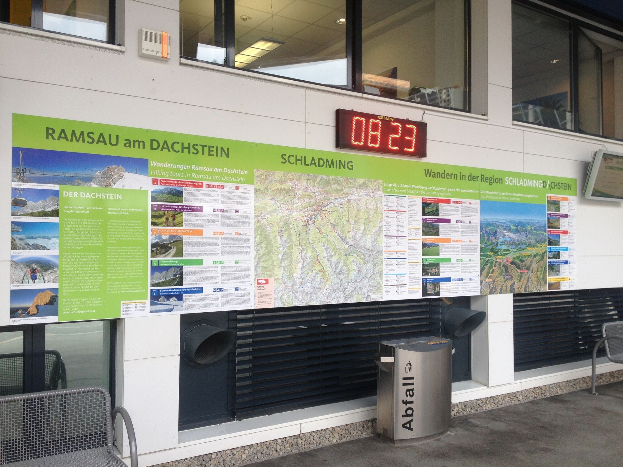
General tourism information: www.schladming.com
Info about buses: www.planai.at
360° drone images
Get yourself an overview with our 360°-drone images:
Trail head Planet Planai: https://vonoben.schladming-dachstein.at/sommer/index.php?S=55
Overview in the Maistatt area: https://vonoben.schladming-dachstein.at/sommer/index.php?S=57
- Directions
-
Take exit "Schladming-Ost" from the federal highway B320 and continue to the Planai stadium at the valley terminal of Planai cable-Car.
- Public transportation
- Parking
-
Car parking and a garage are available directly at Planai stadium.
-

-
AuthorThe tour Tauern Panorama Tour is used by outdooractive.com provided.


General info
-
Schladming - Dachstein
3001
-
Ramsau am Dachstein
1689
-
Rohrmoos
520


