


- Brief description
-
Hiking across streams and stones
- Difficulty
-
medium
- Rating
-
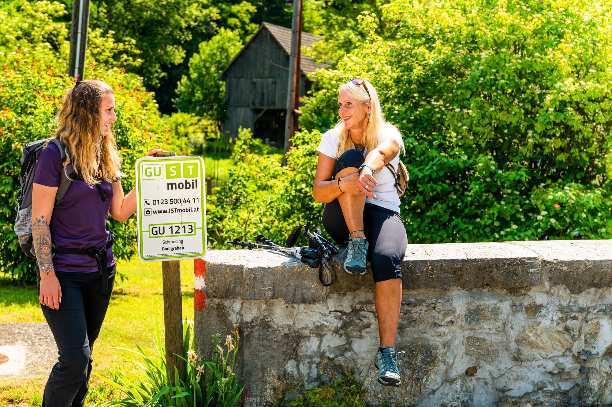
- Starting point
-
Public car park in Badl–Peggau
- Route
-
Badl0.1 kmBadlbachhöhle0.8 kmHausmanningerdoline2.8 kmKapellenhöhle5.2 kmBadl5.3 km
- Best season
-
JanFebMarAprMayJunJulAugSepOctNovDec
- Description
-
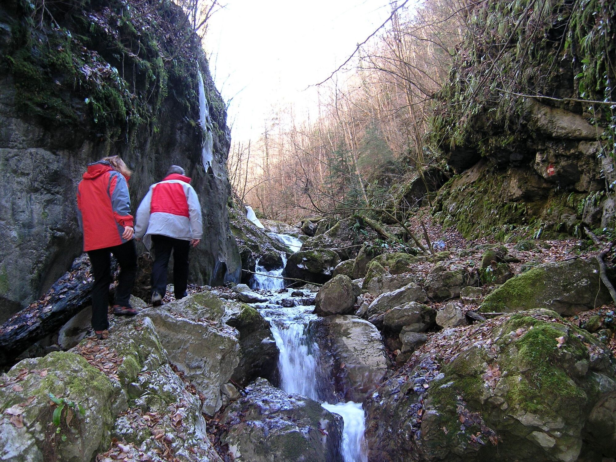
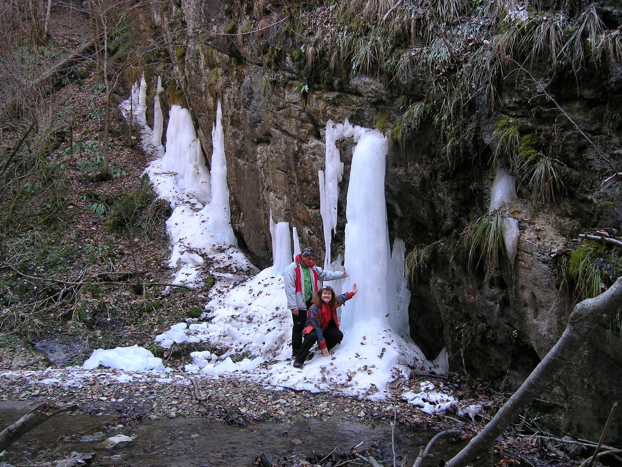
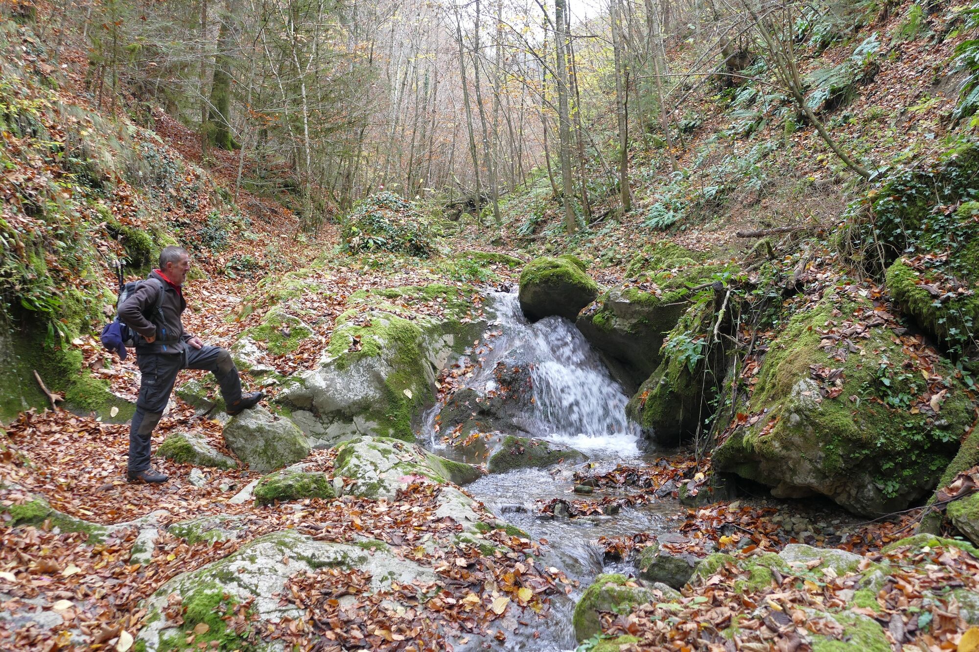
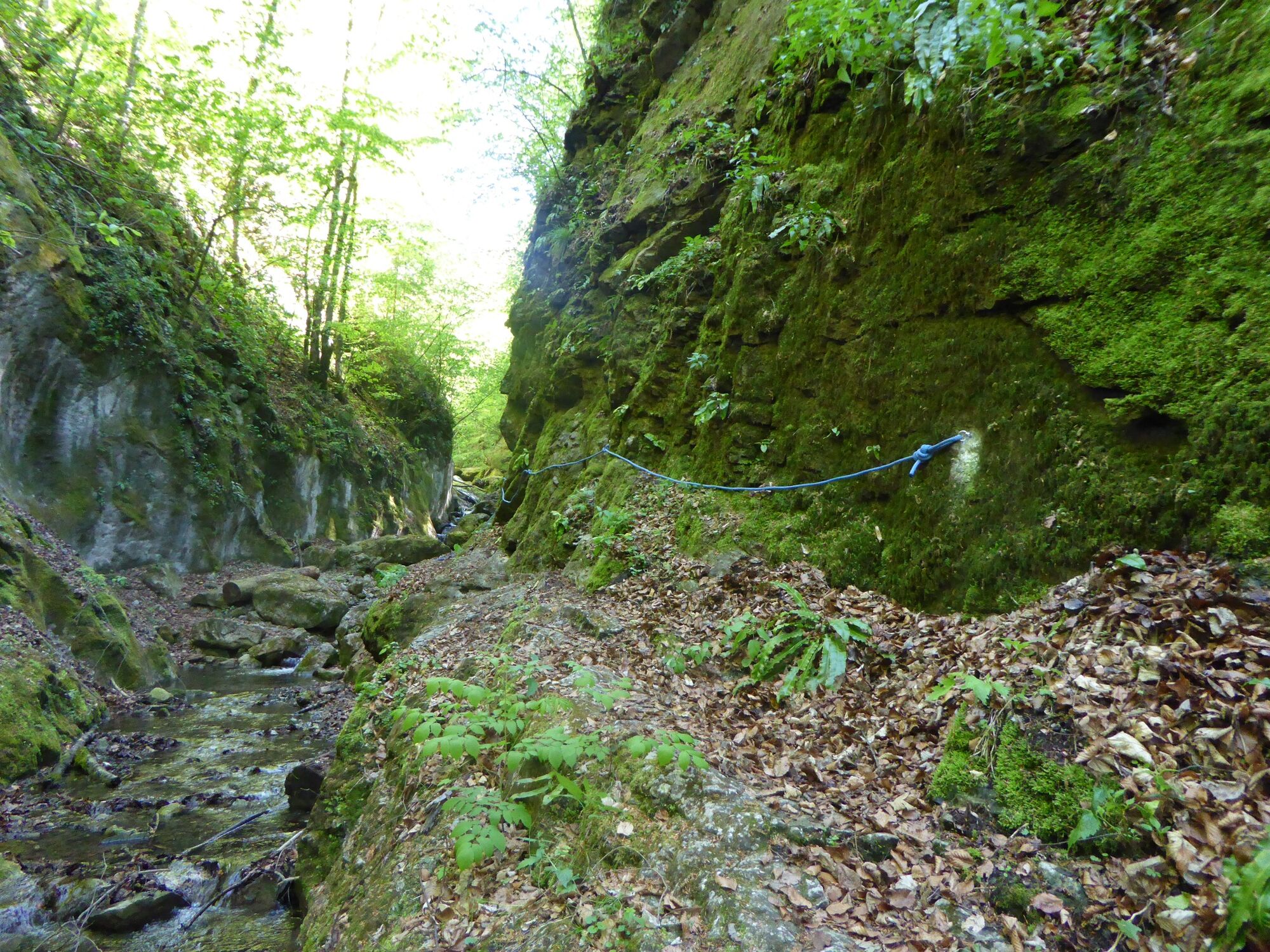
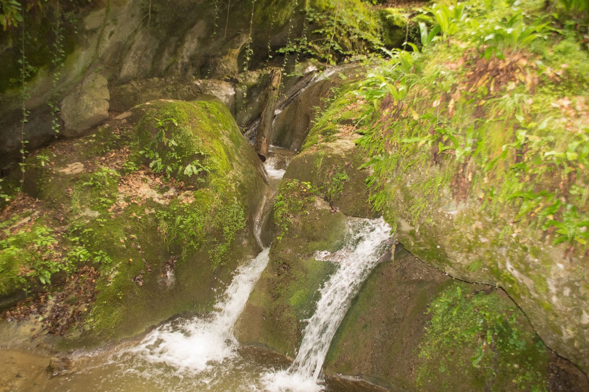
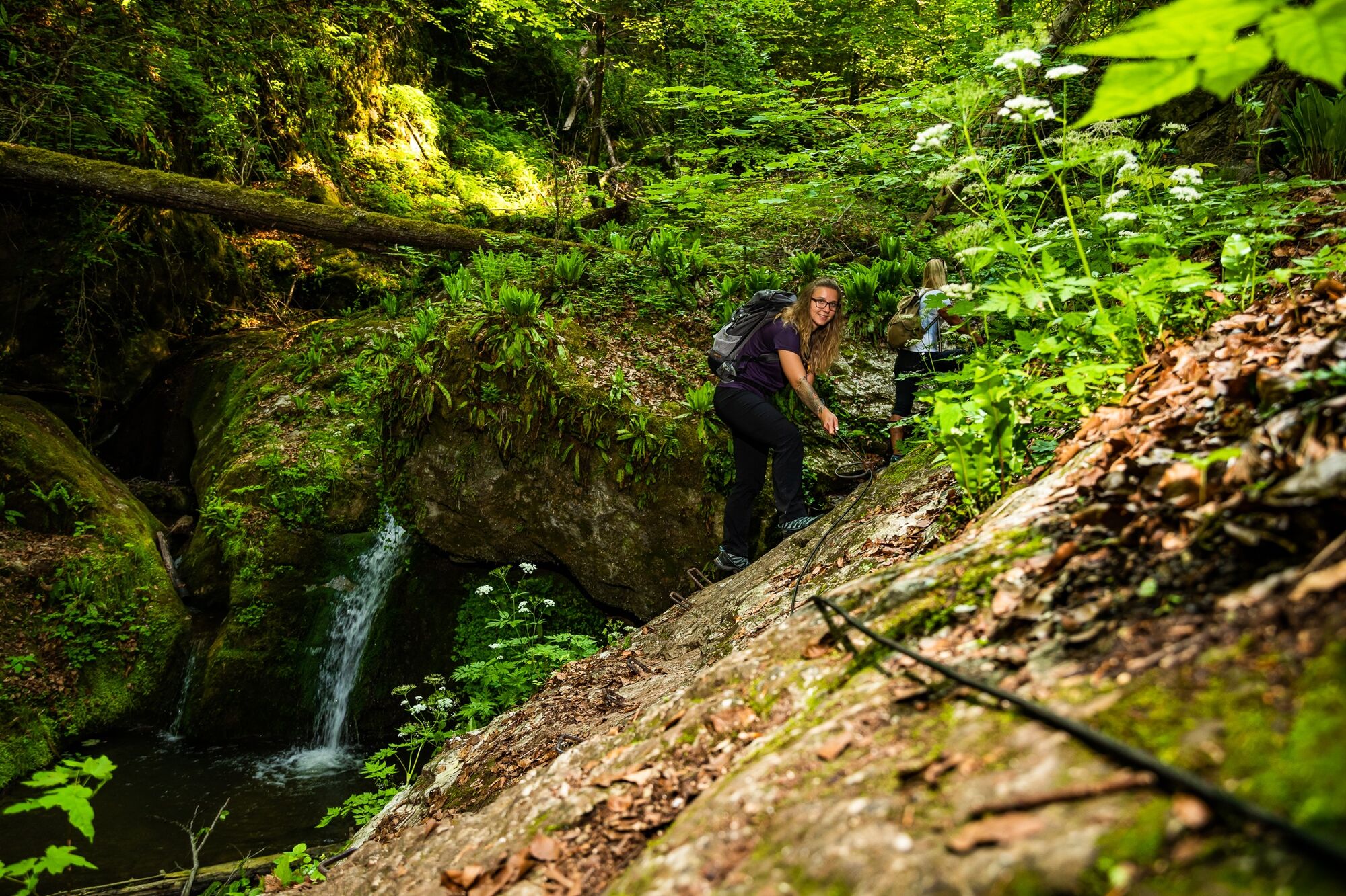
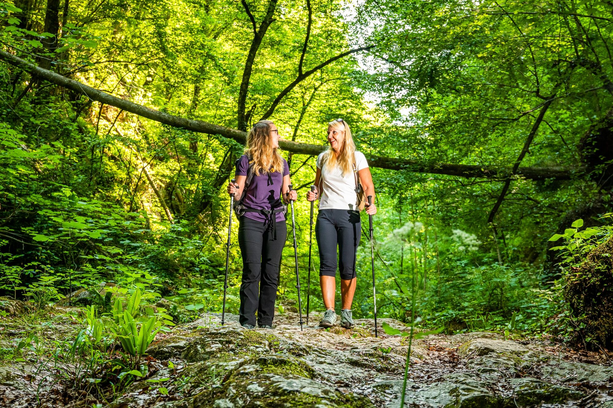
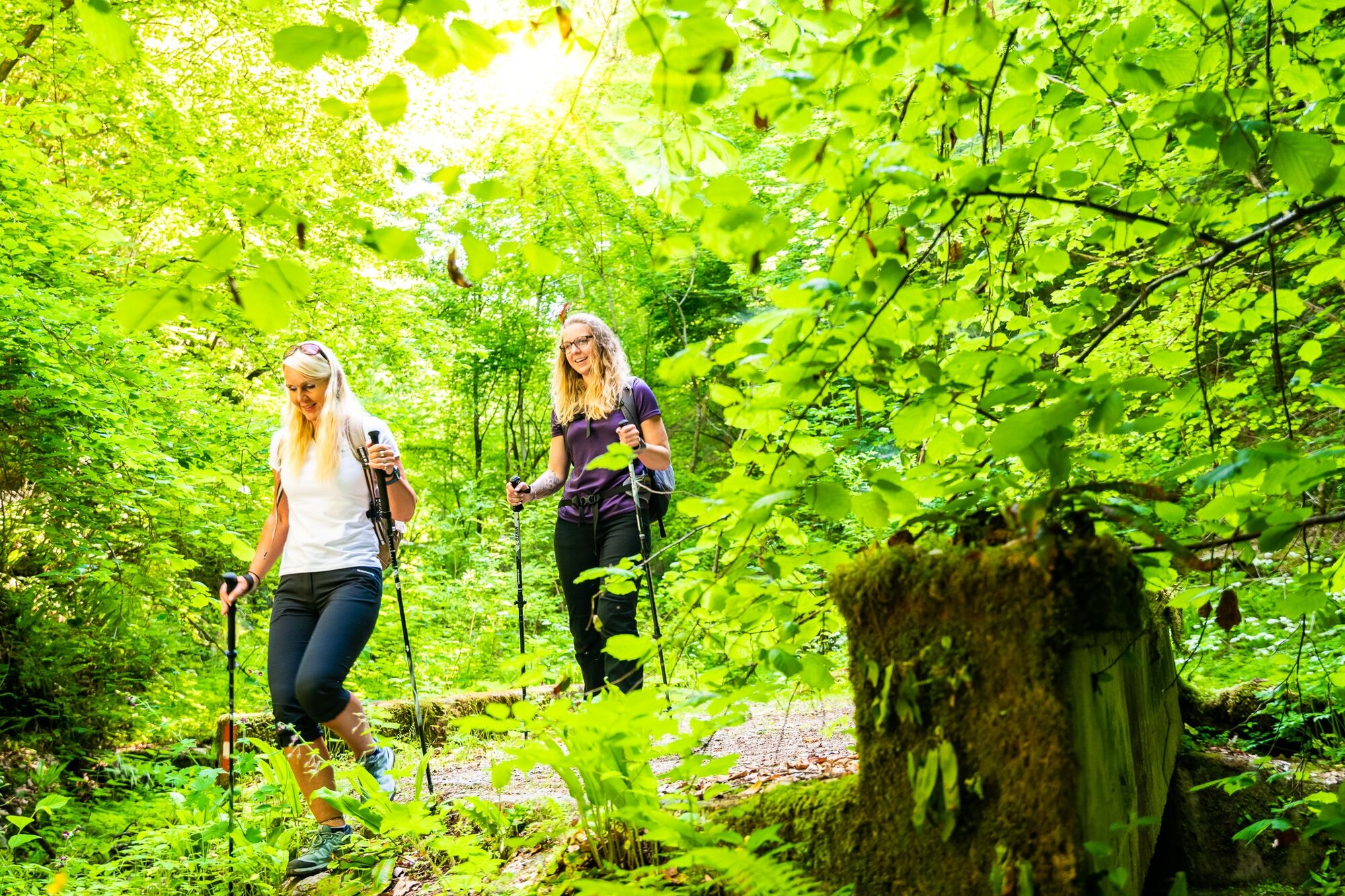
Several streams run from the Badl gorge through the Peggau forest, making your hike an exciting – and cooling! – adventure for the whole family. Cables are fitted for support during the hike through the gorge. It’s a real adventure through the Peggau primeval forest!
- Directions
-
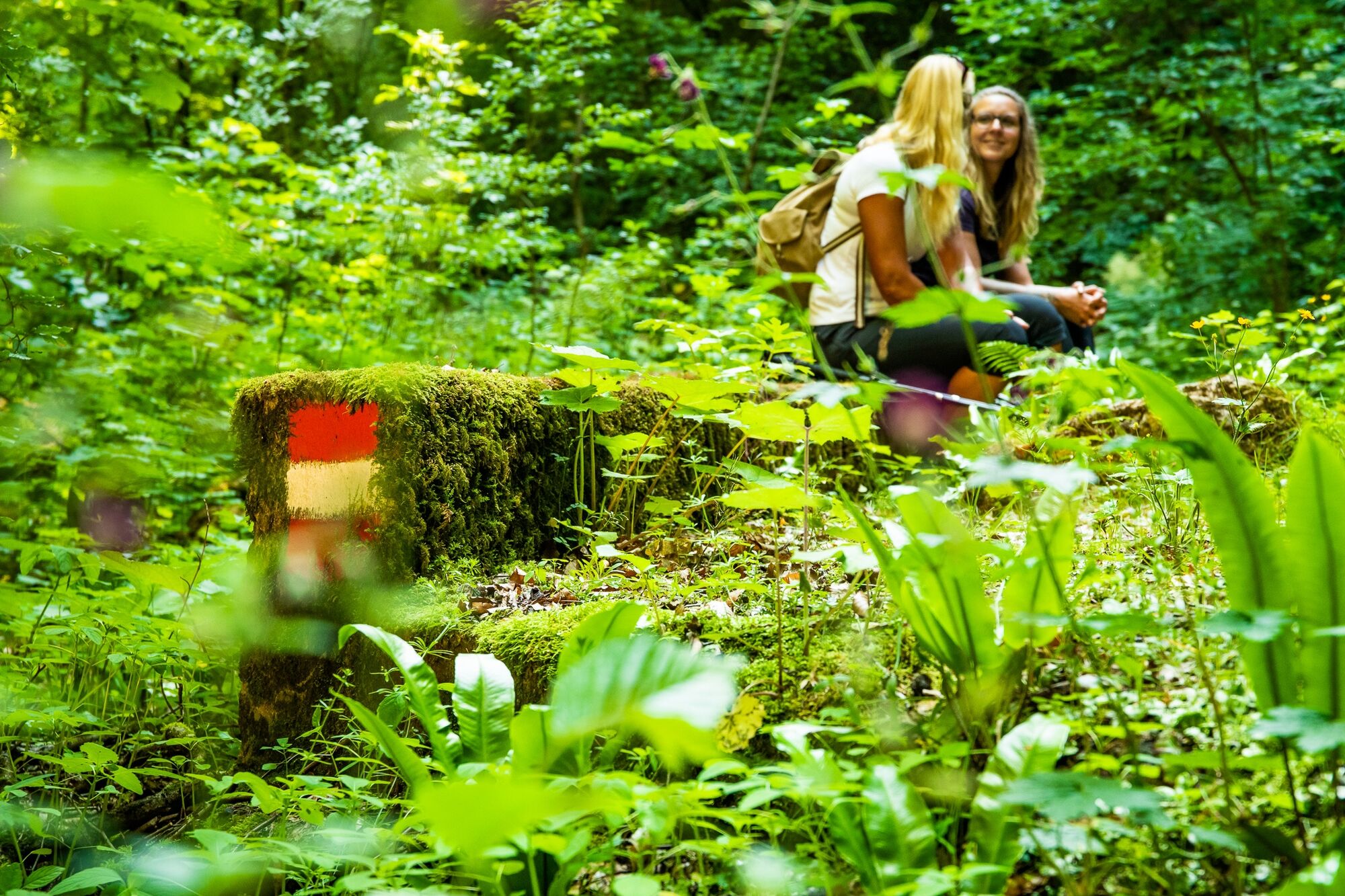
A few metres from the starting point at the public car park and the GUSTmobil minivan stop 1213 the route leads southwards and up at the left. Continue upwards alongside the stream bed on trail no. 750. After going past a large rock, keep on for another ten minutes or so until you come to an obsolete forest road at the right on the fork (trail no. 13). Always keeping to the right, return in the direction of Peggau. Forces of nature have created a quaint point of crossing here. Follow climb tracks to the forest road above the Badl gorge and march down to the valley.
After passing the raised hide in the former estate of Binderanderl, a rutted, grooved and abandoned driving track lined with stone walls leads down to the Mautbühel hill. Shortly afterwards you get to the state road, which you follow north until you reach the starting point.
- Highest point
- 569 m
- Endpoint
-
Follow either the federal road south and towards Peggau town centre, or go back to the starting point.
- Height profile
-

- Equipment
-
We recommend you take sufficient drinks and provisions with you because there are no refreshment points along the route.
You need suitable footwear for this hike!
- Safety instructions
-
Hiking paths in OberGraz are generally easy to negotiate. Nevertheless, you should choose hiking routes that correspond to your level of fitness and surefootedness. Wear solid shoes; rucksack contents should include first-aid kit, drinking flask, provisions, sun cream, rain and cold protection – and off you go!
This route is not to be recommended in the cold and wet seasons of the year, or after heavy rainfall.
- Tips
-
The protected Badlwand railway gallery cannot and may not be accessed! The way back along the state road really is the only option.
- Additional information
-
Down, down into the world of caves … If you’re looking for even more adventure, you simply must visit the unique Lurgrotte Peggau grotto. Whether in the summer heat or on a rainy day, you can join in hourly tours and see mighty, calcification-formed artworks bearing fantastic names such as “Prince” or “Giant Palm”. And don’t be surprised if you meet an occasional bat inside the caves. For tours lasting two hours you need to arm yourselves with torches, then you venture even further into the bowels of the cave.
Refreshment points: Zur Post inn, La Cucina restaurant in Peggau town centre
- Directions
-
Via the S35 (exit Badl–Peggau)
- Public transportation
-
Hikers can easily arrive without a car by using bus or train services. The frequent S1 trains between Graz and Bruck/Mur make reaching OberGraz easy.
(Gratwein–Gratkorn railway station)
More details on train and bus connections: www.verbundlinie.at and www.oebb.at
GUSTmobil minivan stops nearby: 1213
Rides can be booked a minimum of 60 minutes before desired departures by telephone (0123 500 44 11), or via Internet (www.ISTmobil.at), using the app. (business hours: Monday – Saturday: 6am – 12 midnight, Sundays & public holidays: 6am – 10pm)
- Parking
-
Public car park near the Badl gorge / motorway exit Badl–Peggau


- Author
-
The tour Adventure hike through the Badl gorge is used by outdooractive.com provided.


General info
-
Erlebnisregion Graz
2783
-
OberGraz
1731
-
Peggau
652


