


- Brief description
-
A challenging and versatile tour in the heart of the Graz mountains. From Peggau via Hochtrötsch to Frohnleiten.
- Difficulty
-
difficult
- Rating
-
- Route
-
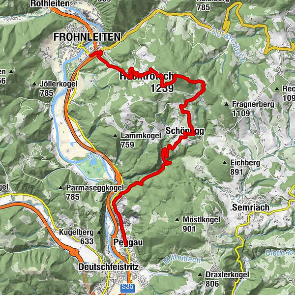
PeggauHausmanningerdoline2.4 kmSchönegg6.7 kmHochtrötsch (1,239 m)10.9 kmLaas15.3 kmBrunnhof16.2 kmFrohnleiten16.5 kmMauritzen16.5 km
- Best season
-
JanFebMarAprMayJunJulAugSepOctNovDec
- Description
-
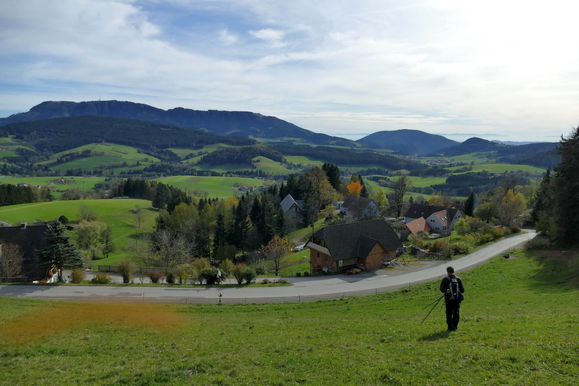
In the heart of the Graz mountains begins a challenging and versatile tour to Peggau. Whoever walks it will be rewarded with a cornucopia of impressions and panoramas.
- Directions
-
We start the hike at Frohnleiten train station. After the underpass under the S35 Brucker expressway, follow the road for a short time, shortly after the highway entrance, the path branches off next to the motor vehicle workshop, heading east. From here on it continues on a forest and meadow path. Then there are stretches on asphalt and then again in the forest, always following the path 750. After walking for a while along the municipal road, you bypass a farm on the uphill side, passing through the farm at a passage and then a little steeper over meadows and through the forest until you reach the old landfill. First you walk along the foot of the dam until you reach the landfill. There the path branches off into the forest. In the forest, the path goes uphill a bit more steeply until you finally reach a meadow. This belongs to the highest farm in the district, the Winterbauer farm. Here you walk briefly along the meadow in a northerly direction and then re-enter the forest. At first it is a bit flatter, then it gets steeper again before you reach the summit. The Trötschsattel is located at 1,057 m above sea level and is a true splendor - sunny and surrounded by gently sloping alpine pastures.
For the descent, follow trail 750 in an easterly direction. First pleasantly flat, then steeply downhill, crossing a forest road, you finally reach a meadow (Rusterkreuz). Continue east along trail 750 until you reach a fork - here, too, follow trail 750 south. Now on a field path again somewhat steeper downhill. You reach a small farm (Trötschweg 5), through which the municipal road leads. Head southwest to the Rüster intersection and from here follow the municipal road (continue to follow trail markings 750). Keep left at the traffic mirror, then cross a farmstead and then across meadows and woods to Schönegg.
Then descend into the Mühlgraben. Where the Mühlgraben joins the Bassgraben, the Badlgraben begins. Natural forces created a rustic crossing point here. We follow climbing tracks to the forest road above the Badlgraben and march downhill on trail 13.
After the raised hide at the former Binderanderl estate, an orphaned roadway marked by ruts and lined with stone walls leads downhill to Mautbühl. Along the main road you pass the cement works and continue to the bus stop Peggau Lurgrotte. From here it is not far to the train station Peggau-Deutschfeistritz, the end point of the hike.
- Highest point
- 1,234 m
- Endpoint
-
Bahnhof Peggau-Deutschfeistritz
- Height profile
-

- Tips
-
You should go through the following formula of higher hiking mathematics again in more detail before the tour: Limestone + moss + moisture = slippery slope; The Badlgraben is only recommended for experienced hikers with sturdy shoes and ideally in the opposite direction of the trail.
- Additional information
-
Public parking: public parking lot in Peggau
Public transport: with the S-Bahn line 1 from Graz or Bruck/Mur to Frohnleiten
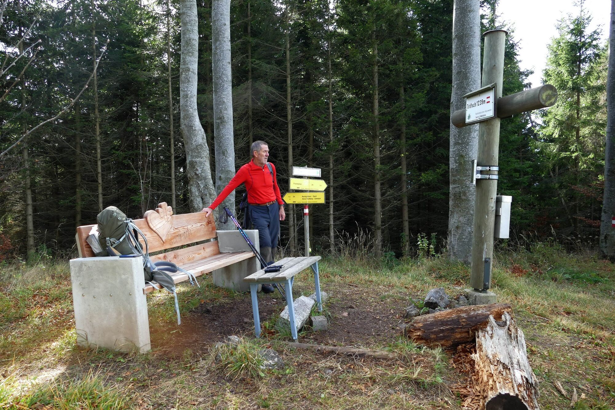
GUST mobil stops nearby: 1213 (Badl), 1274 (Rechbergstraße), 1440 (Trötsch), 1441 (Trötsch), 1442 (Schöneggdorf), 1443 (Schöneggdorf)
Refreshment stops: Gasthof Zur Post, Restaurant La Cucina
- Directions
-
Via S35 to Frohnleiten
- Public transportation
-
Take the S-Bahn from Graz or Bruck to Frohnleiten. Then return by S-Bahn from Peggau station.
- Parking
-
Public parking: public parking in Peggau
- Author
-
The tour Hike over the Hochtrötsch to Peggau is used by outdooractive.com provided.


General info
-
Erlebnisregion Graz
2782
-
OberGraz
1731
-
Peggau
653


