


- Brief description
- Difficulty
-
medium
- Rating
-
- Starting point
-
Parking "Grüner See"
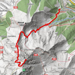
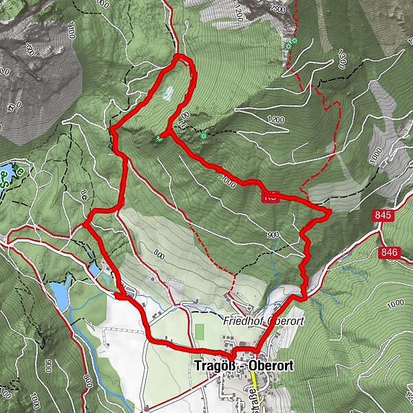
- Route
-
Kamplriedl2.7 kmAmbrosi Bründl3.9 kmAntoniuskapelle5.3 kmPfarrkirche hl. Magdalena5.3 kmTragöß - Oberort5.6 km
- Best season
-
JanFebMarAprMayJunJulAugSepOctNovDec
- Description
-
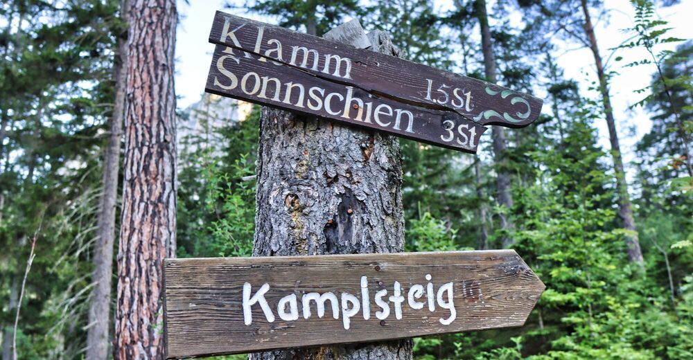
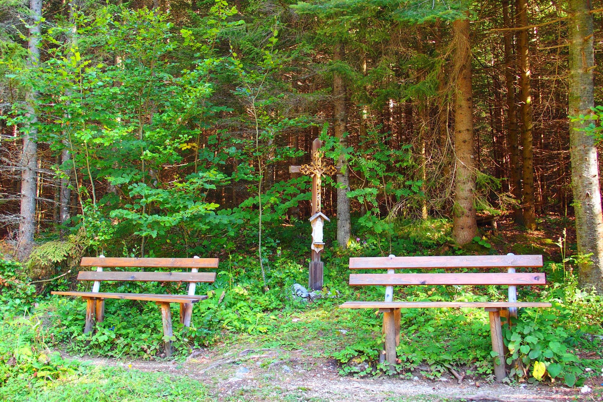
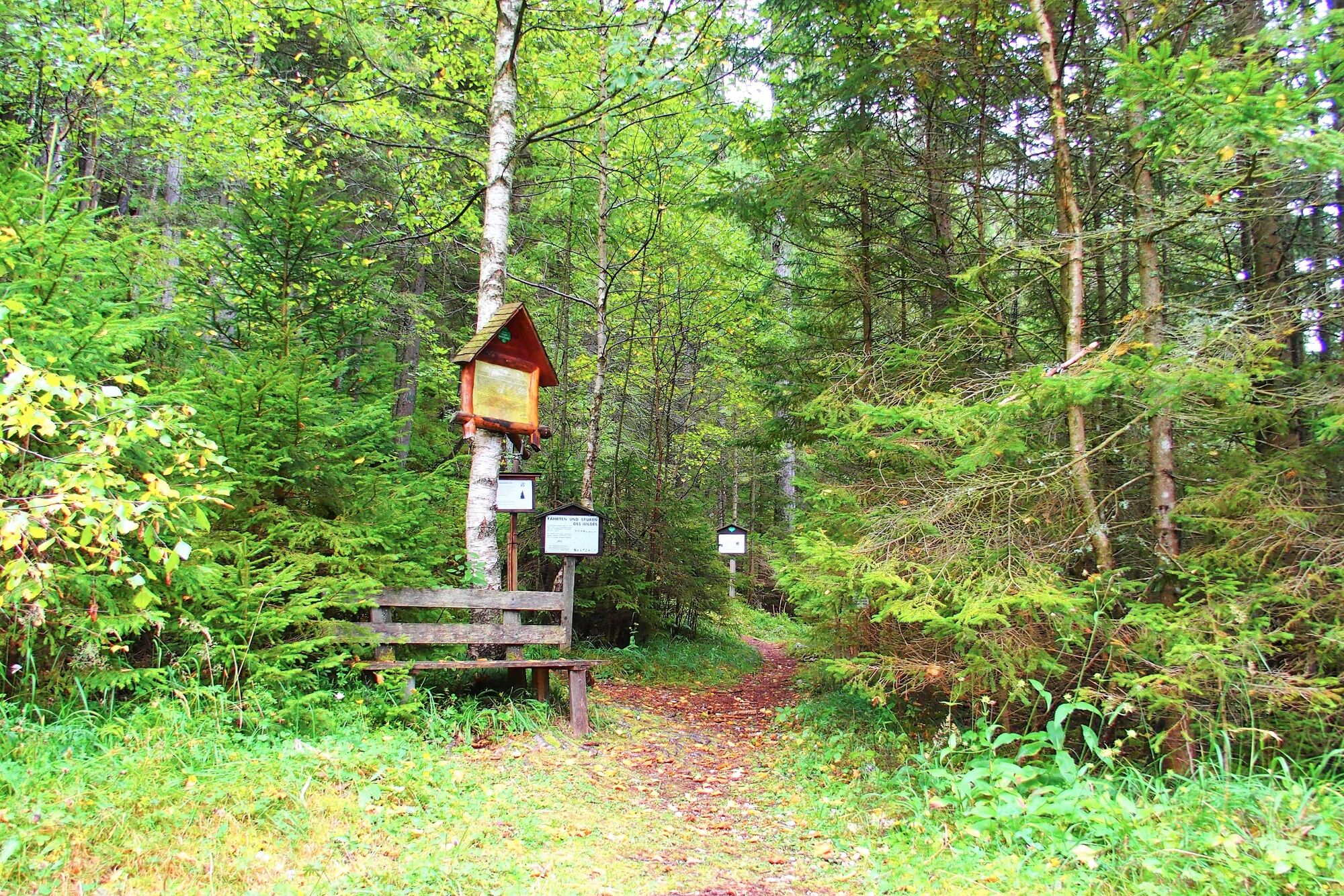
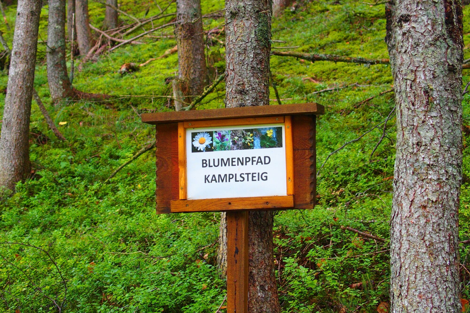
The Kamplsteig leads at an altitude of around 1,000 m at the foot of the Meßnerin over the wooded Reiterberg. The hike offers a colourful variety of botanical sights, which are pointed out by numerous information boards. The flower path was established by Manfred Putzi Sr. and is currently looked after and maintained by Helmut and Steffi Putzi.
- Directions
-
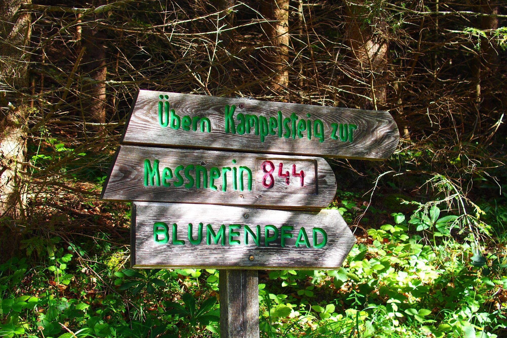
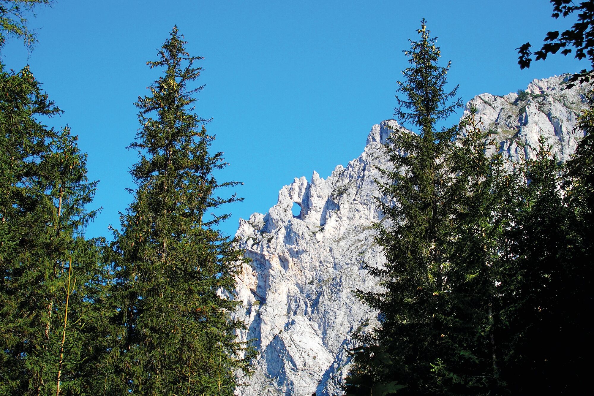
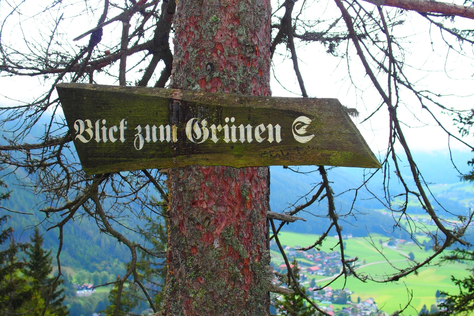
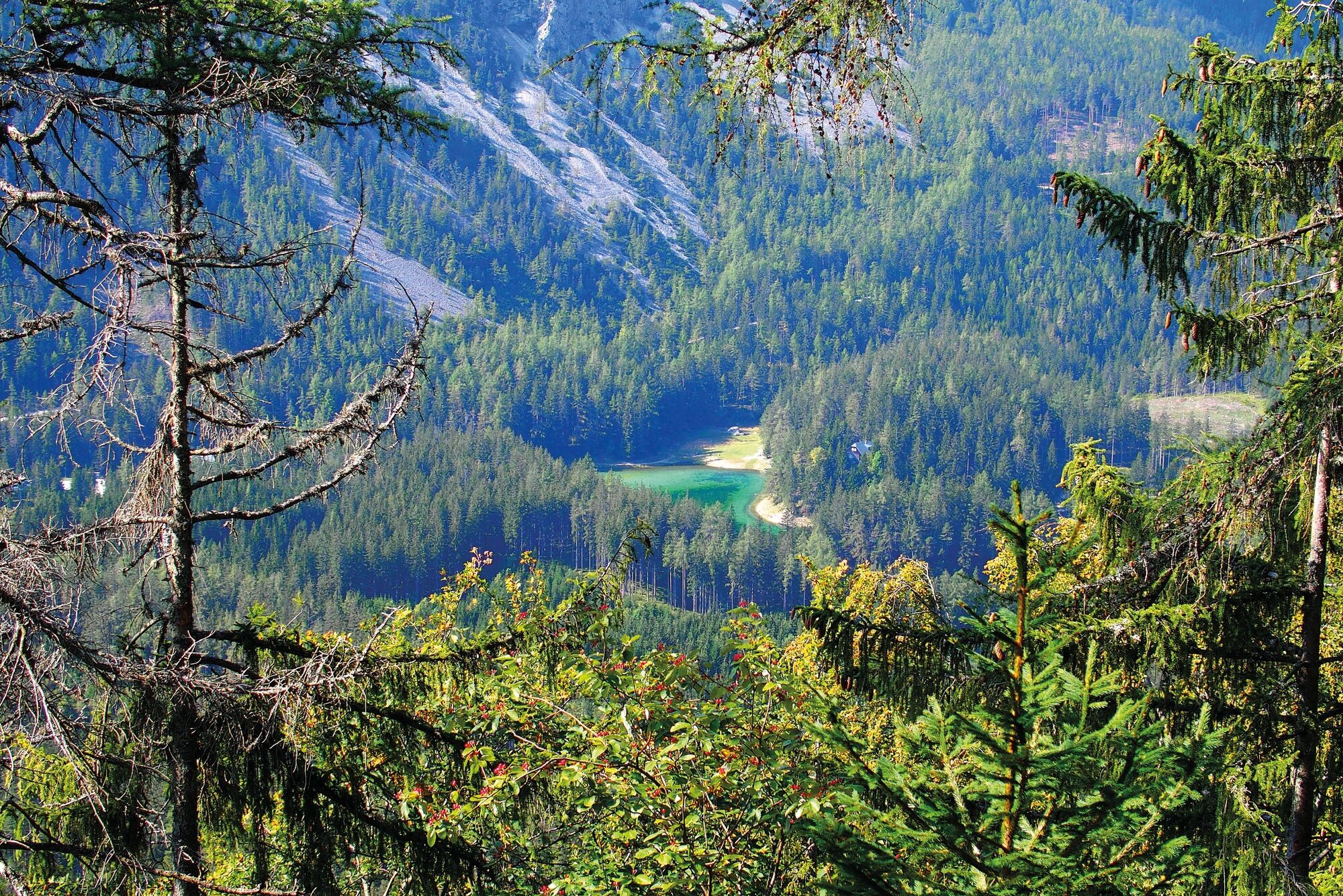
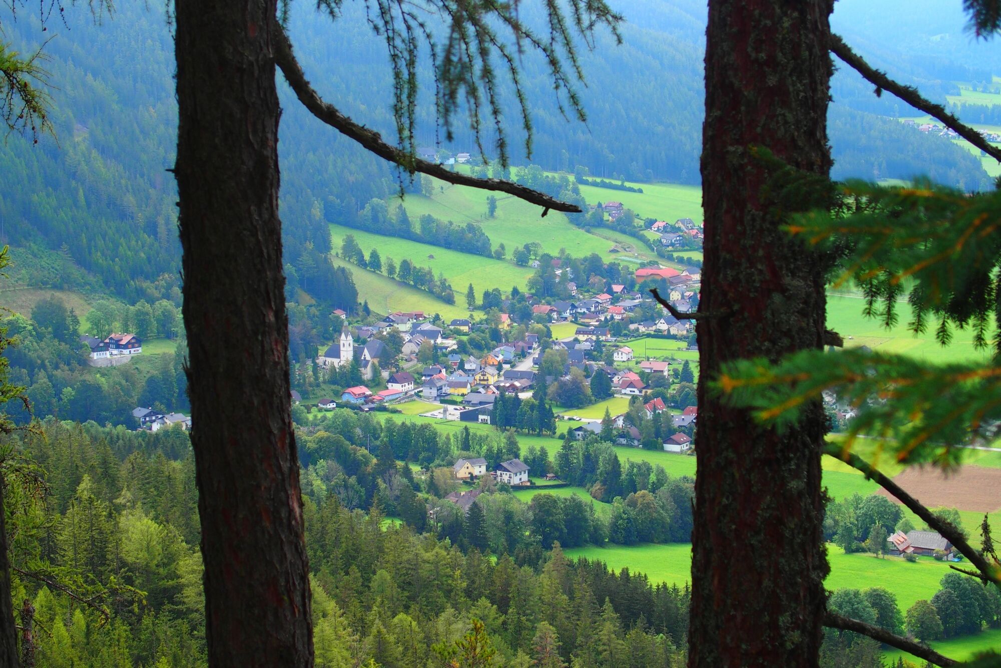
The hike starts at the "Grüner See" car park, for which a fee is charged. To the right of the large signpost, the trail leads along, after a few minutes a sign points in the direction of the Kamplsteig. From there, the trail continues to the right on a path through the forest past the Frühstücksstein to the Klammhöhe. At Klammhöhe you have a breathtaking view of the legendary Meßnerin-Loch for the first time. Now turn right again in the direction of Meßnerin (marker 844). The entrance to the flower path is well signposted and you can borrow a walking stick there if necessary. Through the forest you reach Kamplriedl, from where you can enjoy a wonderful view of the Lamingtal valley and the Grüner See lake. Now the trail descends again until you reach a clearing and thus the end of the nature trail, where you can put down your borrowed walking stick. Along the forest path, past the Ambrosi-Bründl, you come to a fork that leads straight ahead over the "Lahner" into the Marienklamm gorge. If you turn right there, you will return directly to the valley in the Haringgraben.
Translated with www.DeepL.com/Translator (free version)
- Highest point
- 1,035 m
- Endpoint
-
Parking "Grüner See"
- Height profile
-

- Equipment
-
Proper backpacking makes many things easier: Pack heavy things first. The water bottle should always be within easy reach in a side pocket. All things that are often needed, such as sunglasses, camera or hiking map, belong on top. An emergency kit including blister plasters belongs in every rucksack and it is always advisable to put on different layers of clothing.
- Safety instructions
-
Planning your desired tour properly in advance is a must.
Emergency call rescue: 144
Emergency reporting tip - give answers to six important questions: What happened? How many injured? Where did the accident happen (possibly GPS coordinates)? Who reported the accident (call-back number)? When did the accident happen? Weather at the accident site?
- Tips
-
After the hike, be sure to stop at the coffee shop Hoamat-Kaffee for delisious, homemade pastry.
- Additional information
-
Tourismusverband ERZBERG LEOBEN
Tourist office
Hauptplatz 3
8700 Leoben
Phone: +43 3842 481 4 810
Tourismusinformation TRAGÖSS - GRÜNER SEE
Fremdenverkehrs- und Verschönerungsverein Tragöß - St. Katharein
8612 Tragöß - St. Katharein, Oberort 45
Telefon: +43 3868 8330
gruenersee@tragoess-st-katharein.gv.at
- Directions
- Public transportation
-
With the BusBahnBim app of the Verbundlinie, timetable information has never been easier: all bus, train and tram connections in Austria can be queried by entering locations and/or addresses, stops or important points. The app is available as a free app for smartphones (Android, iOS) - on Google Play and in the App Store
- Parking
- Author
-
The tour Kamplsteig at Grüner See is used by outdooractive.com provided.
Gute Schuhe und Kinder gut beachten ansonsten ein Spaß für alle


General info
-
Erzberg Leoben
2527
-
Hochschwab
1271
-
Tragöß - Grüner See
471