
- Brief description
-
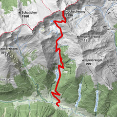
The geological trail with its length of 12 kilometers reaches from Baierdorf to the Sölkpass.
- Difficulty
-
medium
- Rating
-
- Starting point
-
Baierdorf
- Route
-
Baierdorf0.0 kmAussichtspunkt Katschtalkehre (1,550 m)10.4 km
- Best season
-
JanFebMarAprMayJunJulAugSepOctNovDec
- Description
-
The geological trail explains in a particularly comprehensible way, on the basis of 24 stations, numerous impressive terrain forms and geological as well as landscape-forming processes from the starting points S7 in Baierdorf up to the Sölkpasshöhe. The geological trail is an easily hikable path that can be divided into several stages.
- Directions
-
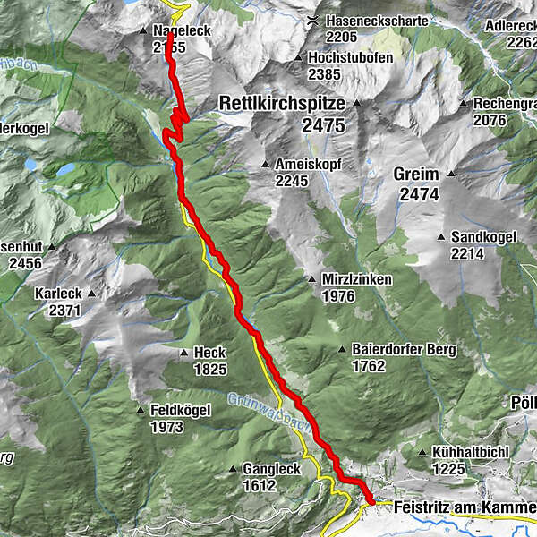
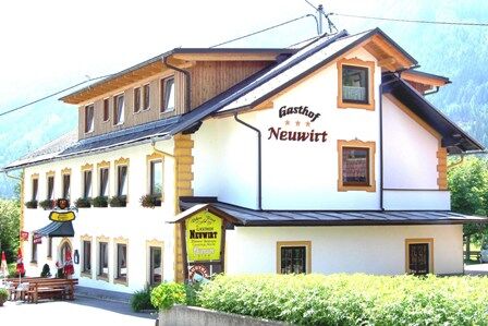
With the starting point in Baierdorf/restaurant Neuwirt at the starting point S7 you cross the state road into the village Baierdorf. Go straight ahead to the bridge and turn left in the direction of "Augustinercross/Augustinerbründl". Continue along this gravel road past the newly built barrier to the first waterfall until you reach the second barrier and second waterfall. Follow the way up to the Augustinercross. There you can have a rest and refreshment. Cross the road, cross the bridge, keep left and follow the gravel road (2-3km) to the edge of the forest. Go trough the forest until you reach the mountain road. Go up the asphalt road to the Kreuzerhütte. Follow the road or the mule tracks up to the pass.
- Highest point
- 1,788 m
- Endpoint
-
Sölkpass
- Height profile
-

- Equipment
-
Good footwear
Sun protection
Sufficient food - Tips
-
There is a refreshment stop at: Neuwirt, Baierdorf Dorferhütte, Sölkpass Kreuzerhütte, Sölkpass
- Additional information
-
The ideal time for this geological trail is from May to September.
- Directions
-
Coming from Judenburg via Unzmarkt to Scheifling. Turn right here and drive to Murau. In Katsch an der Mur keep right againd and drive along the road to Baierdorf.
Coming from Tamsweg via Ranten (or Stadl an der Mur) keep left towards Schöder. After Schöder turn left and drive the road to Baierdorf.
- Public transportation
-
With the BusBahnBim app of the Verbundlinie, timetable information has never been easier: all bus, train and streetcar connections in Austria can be queried by enteriing locations and/or addresses, stops or important points. The app is available as a free app for smartphones (Android, iOS) - on Goolge Play and in the App Store.
- Parking
-
Parking spaces are available at the Gasthof Neuwirt.
- Author
-
The tour Geological trail is used by outdooractive.com provided.


General info
-
TourismusRegion Murau
1743
-
Naturpark Sölktäler
927
-
Schöder
199