


- Brief description
-
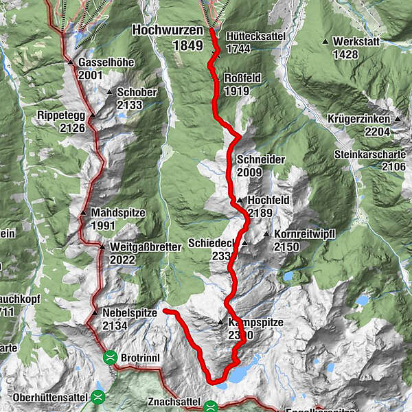
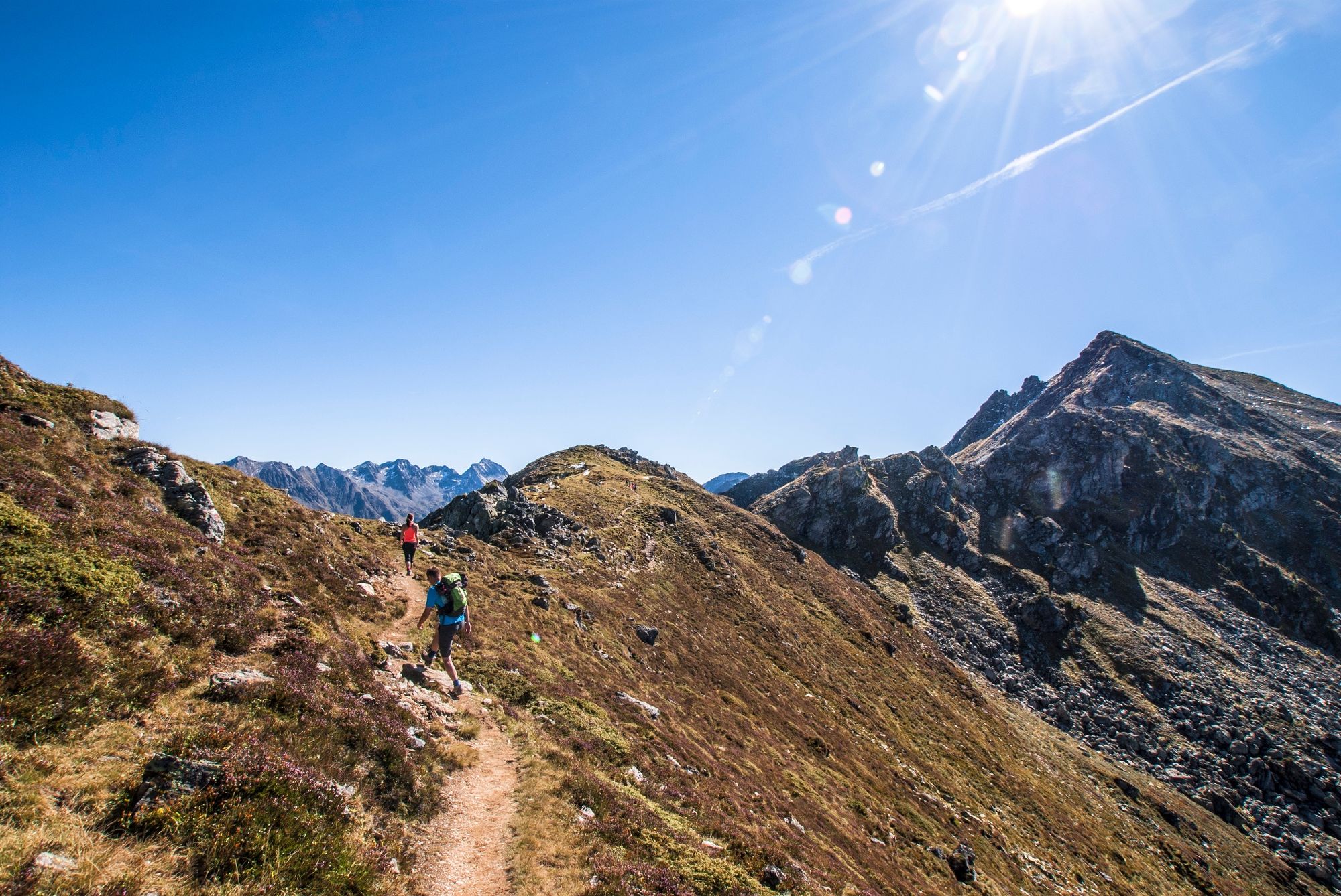
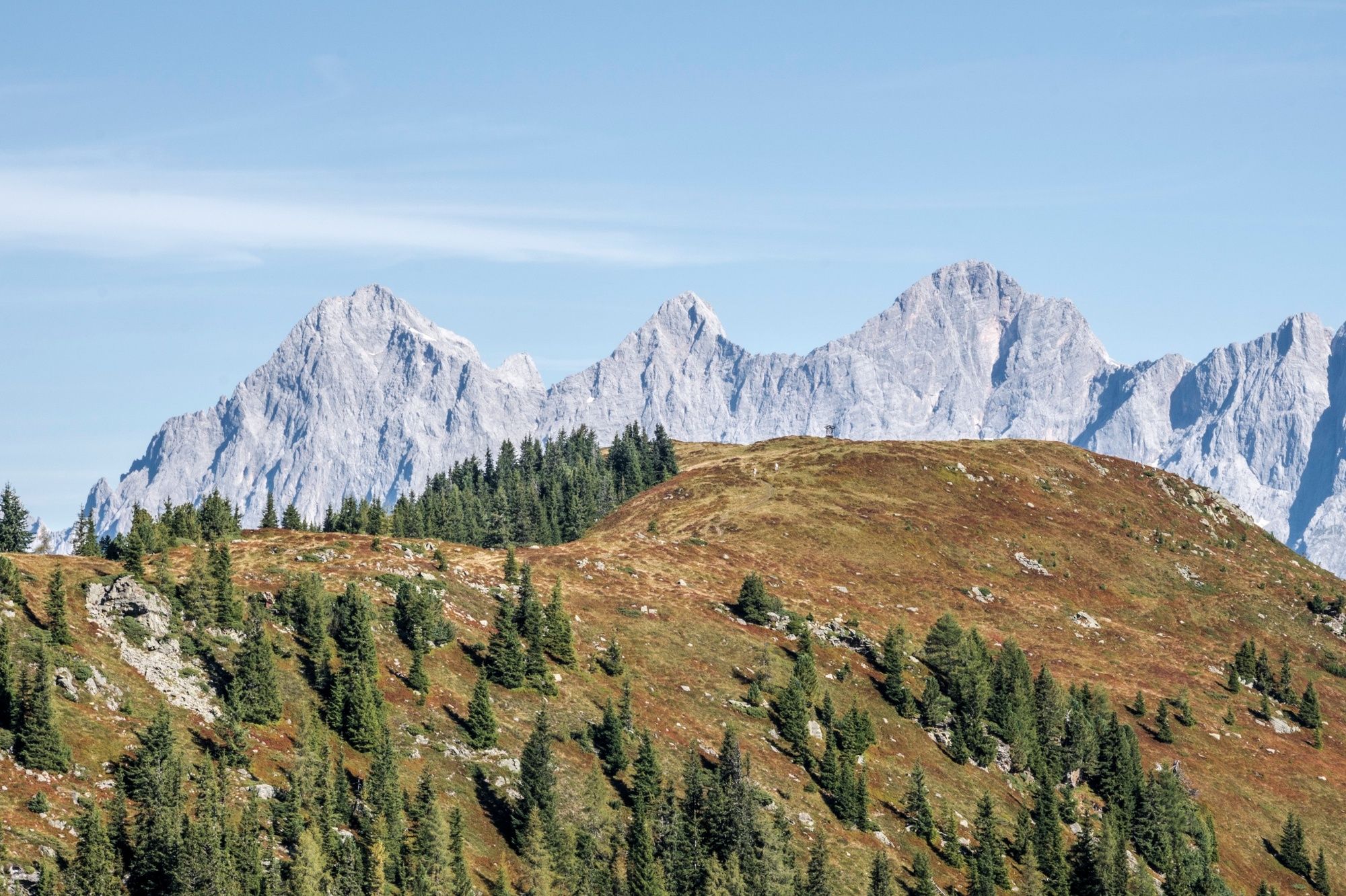
From Ursprungalm chalets in Preuneggtal valley to Hochwurzen via Giglachseen Lakes and the High Trail Hochwurzen. The Dachstein Massif is always in your view and your "constant companion"!
- Difficulty
-
difficult
- Rating
-
- Starting point
-
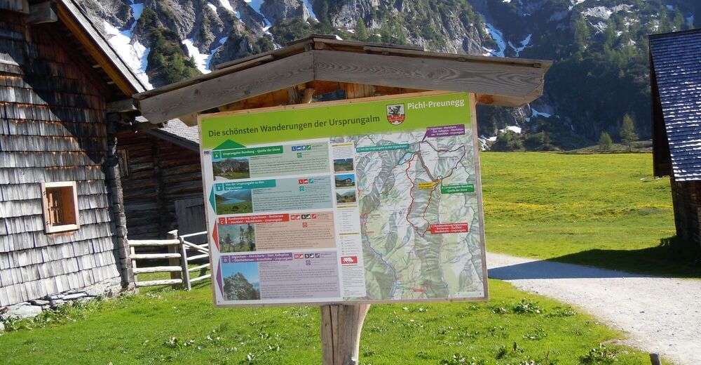
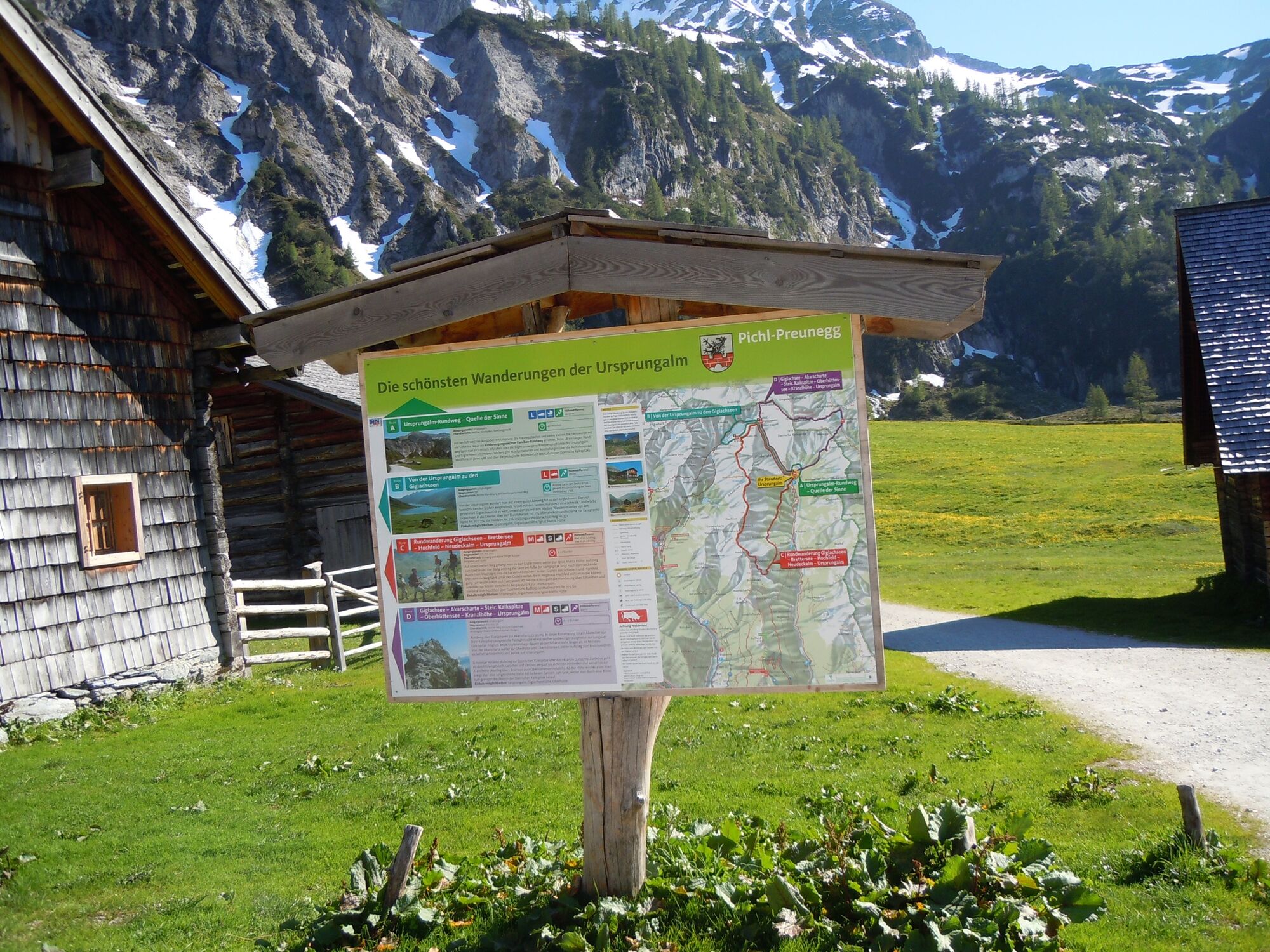
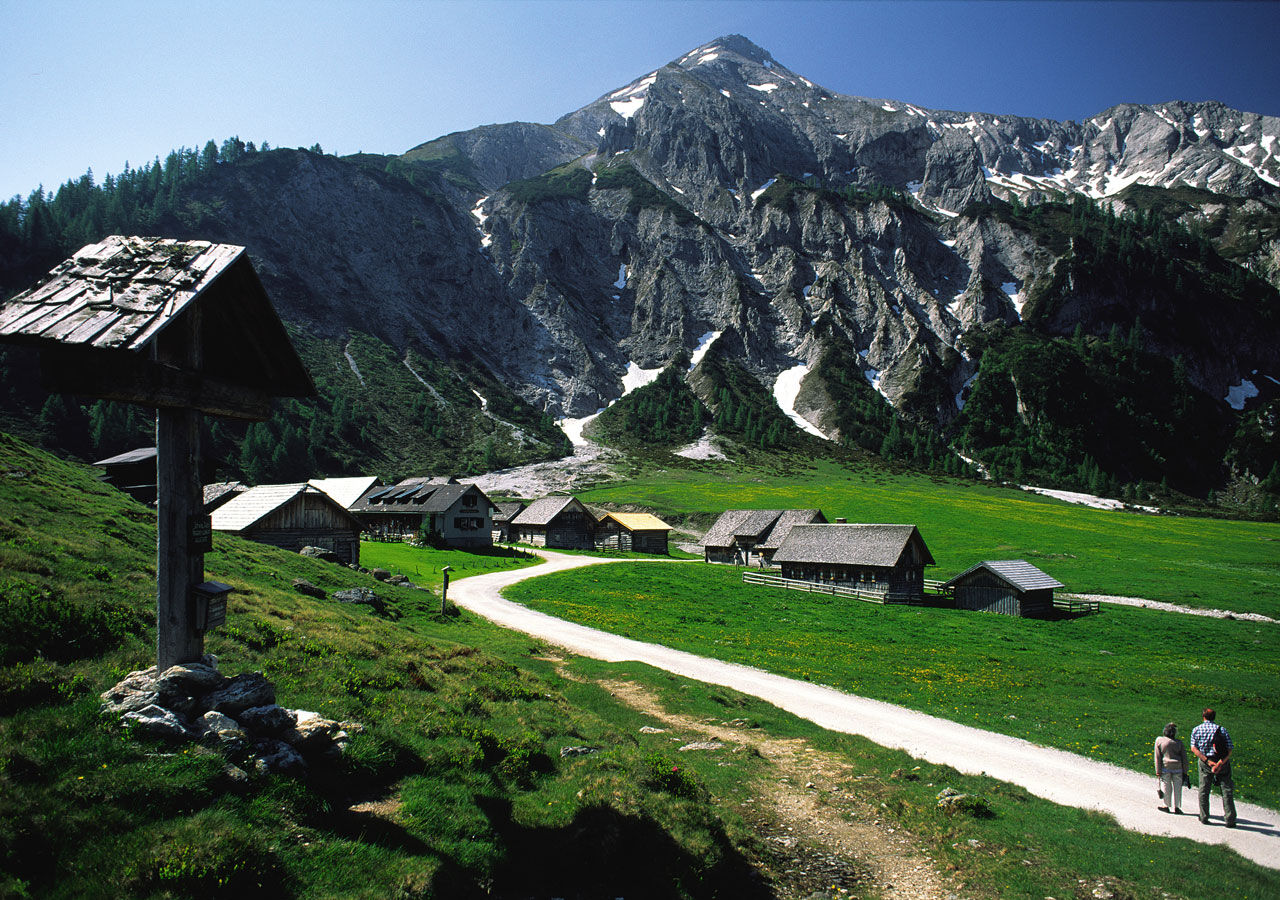
Hiking trail head Ursprungalm
- Route
-
Ursprungalm0.0 kmIgnaz-Mattis-Hütte (1,986 m)3.4 kmSchneider (2,009 m)9.6 kmGuschen (1,982 m)10.3 kmLatterfußsattel11.0 kmRoßfeld (1,919 m)12.1 kmHüttecksattel (1,744 m)12.9 kmKleine Hochwurzen (1,840 m)13.4 kmHochwurzenalm13.5 kmHochwurzenhütte13.6 kmHochwurzen (1,849 m)13.7 km
- Best season
-
JanFebMarAprMayJunJulAugSepOctNovDec
- Description
-
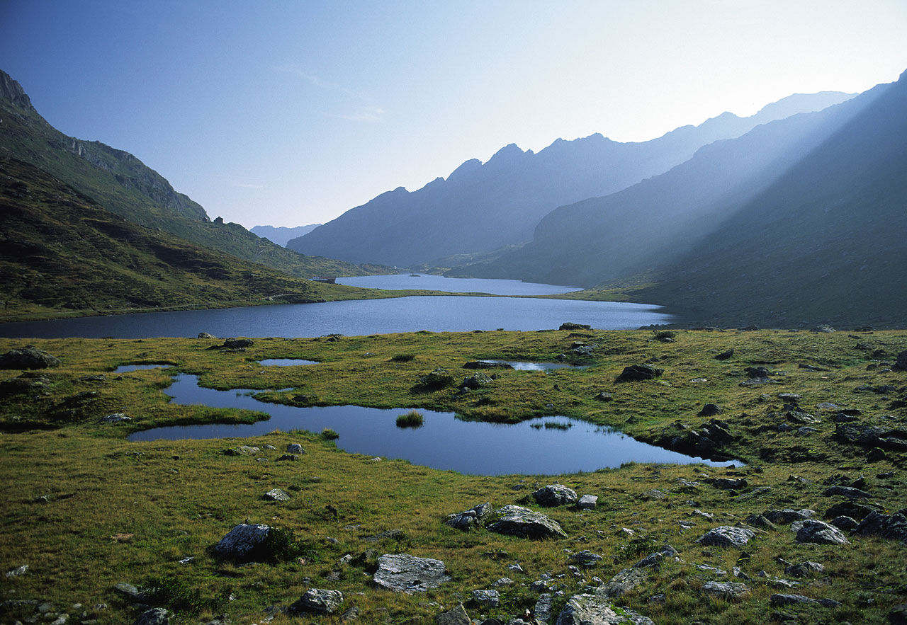
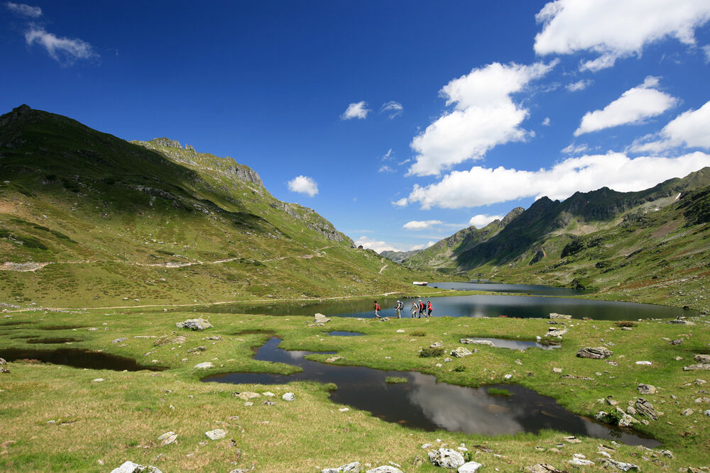
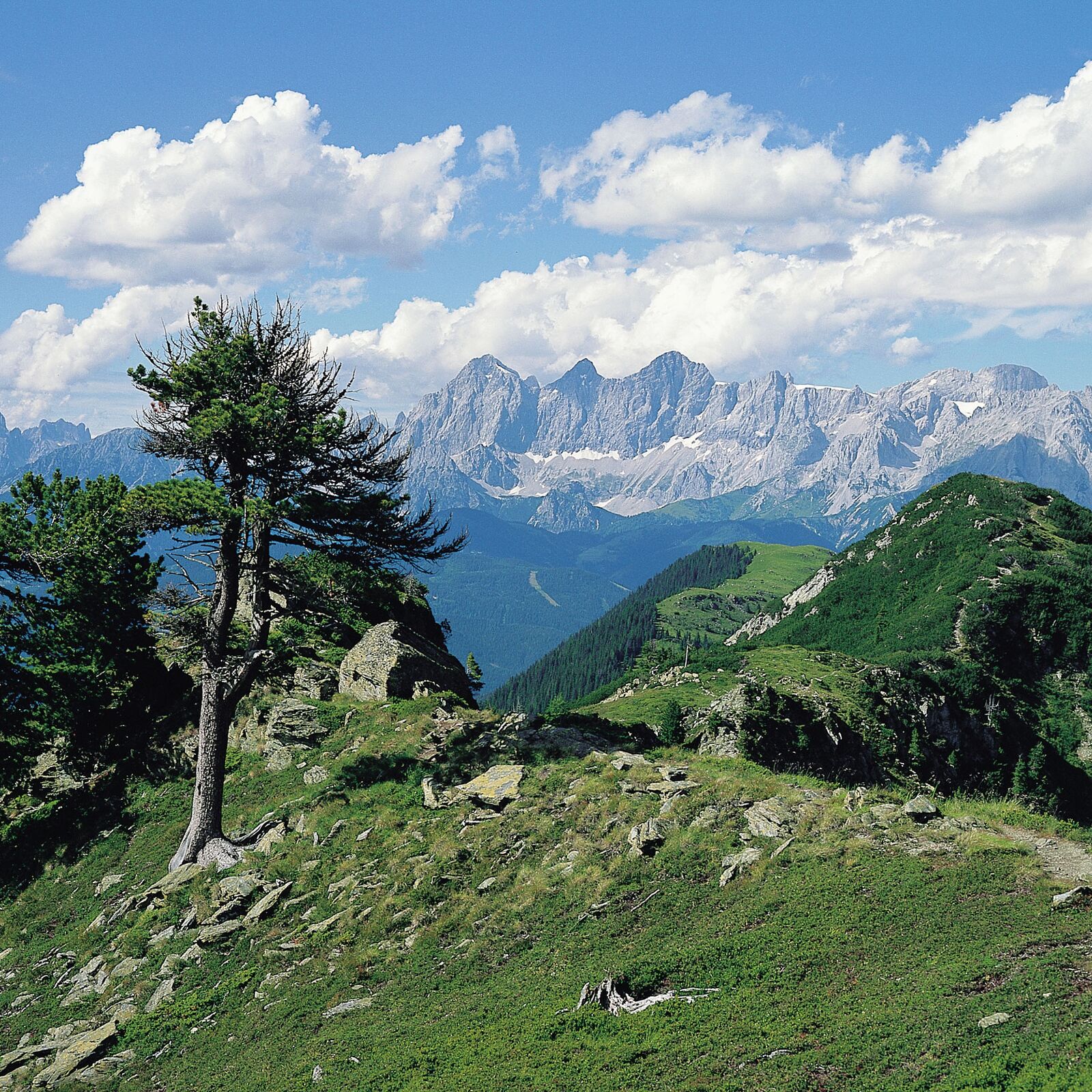
The High Trail from Ursprungalm to Hochwurzen is one of the most popular Alpine hikes in the Schladminger Tauern. For most of the hike you got the Dachstein massif in view. Giglachseen and Brettersee Lakes are highlights on the way as are the summits of Schiedeck, Hochfeld and Guschen. From Hochwurzen you descend to the valley with Gipfelbahn Hochwurzen cable-car - keep an eye on the operating times!
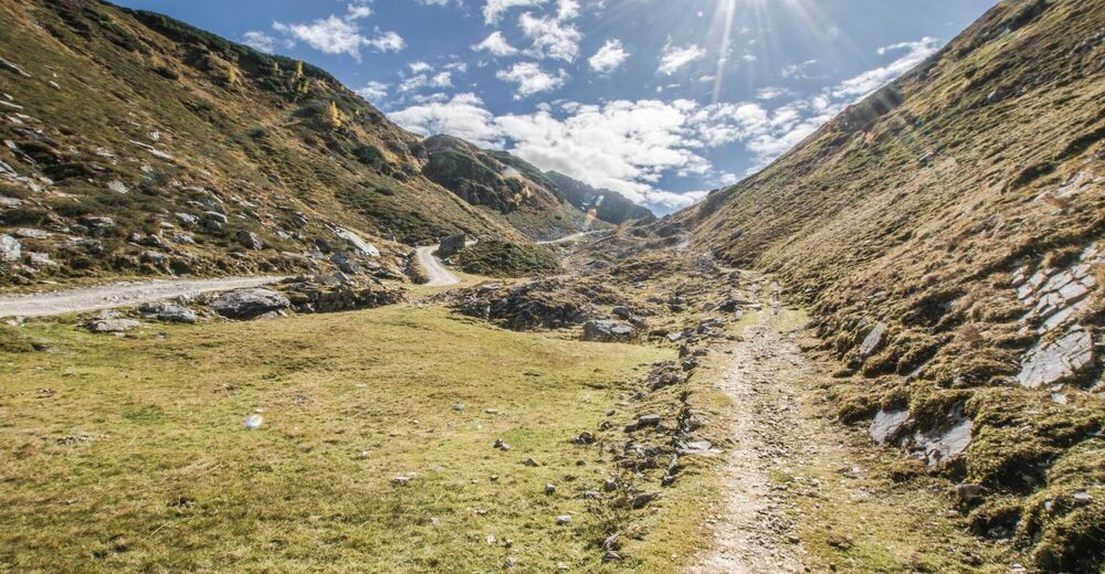
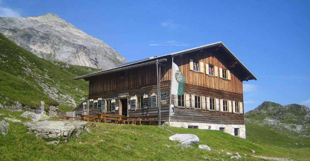
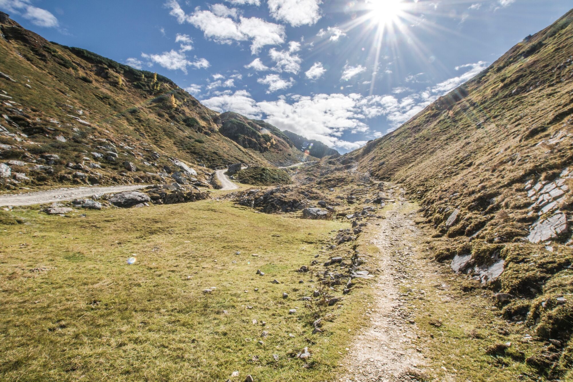
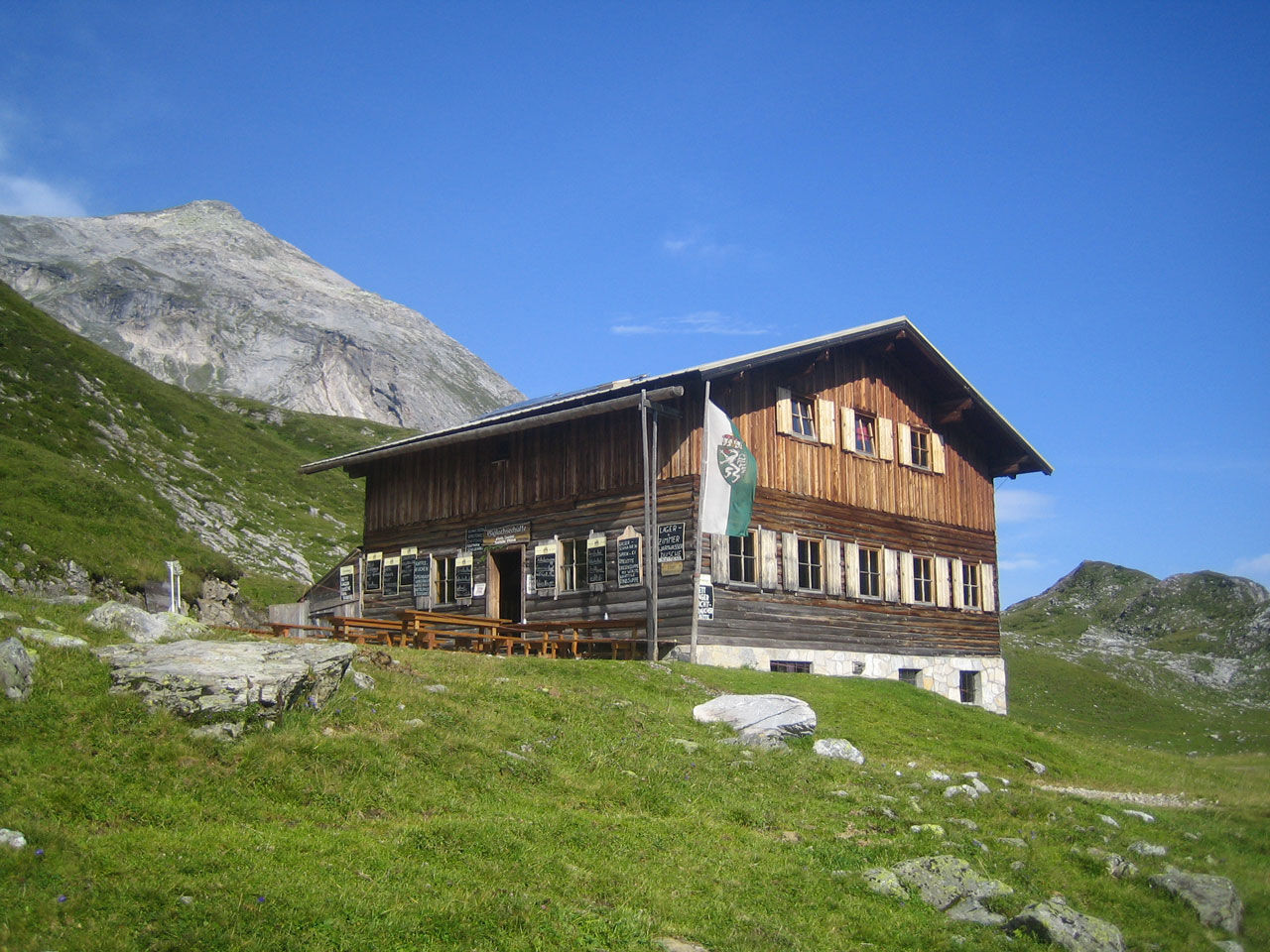
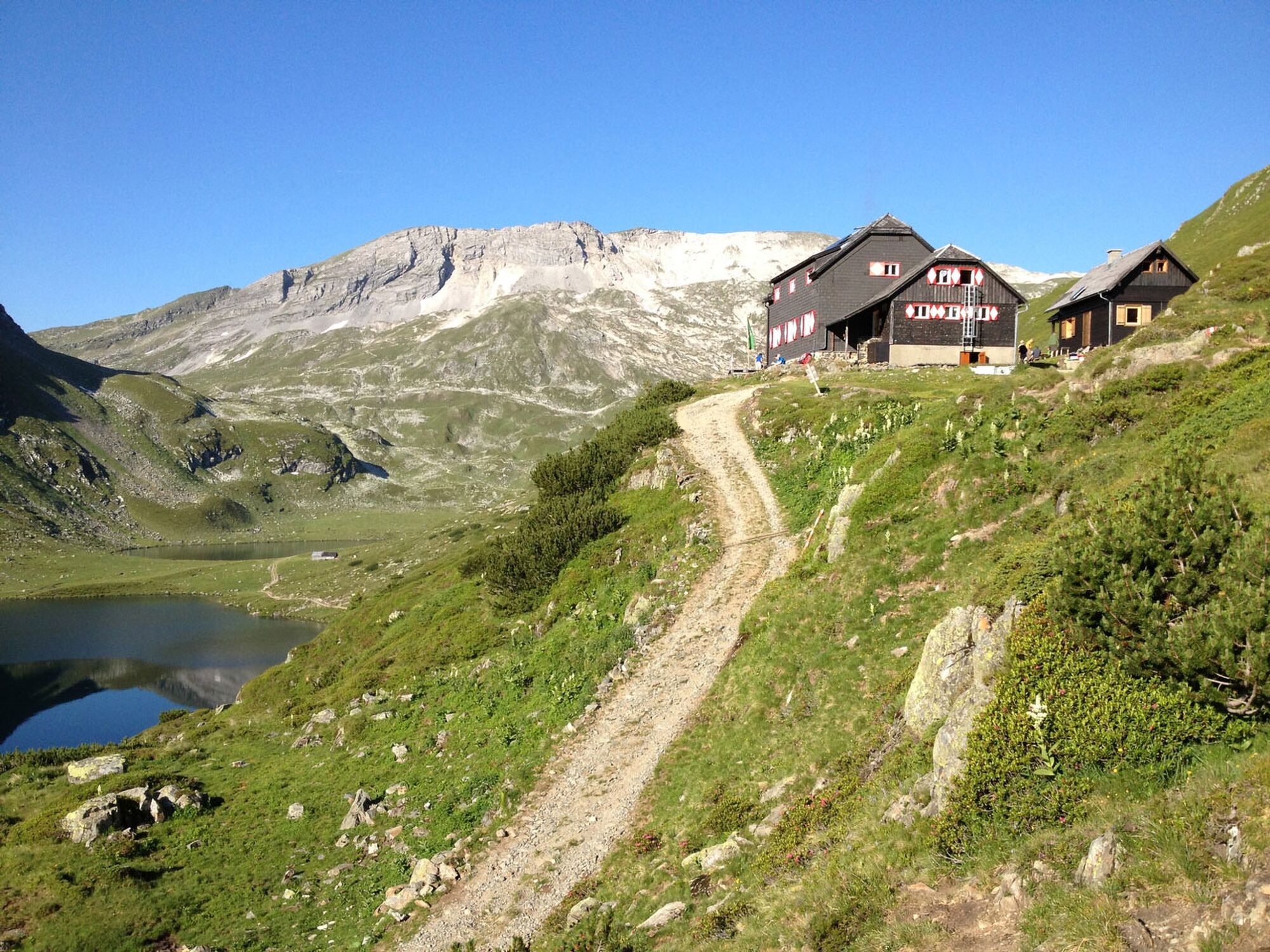
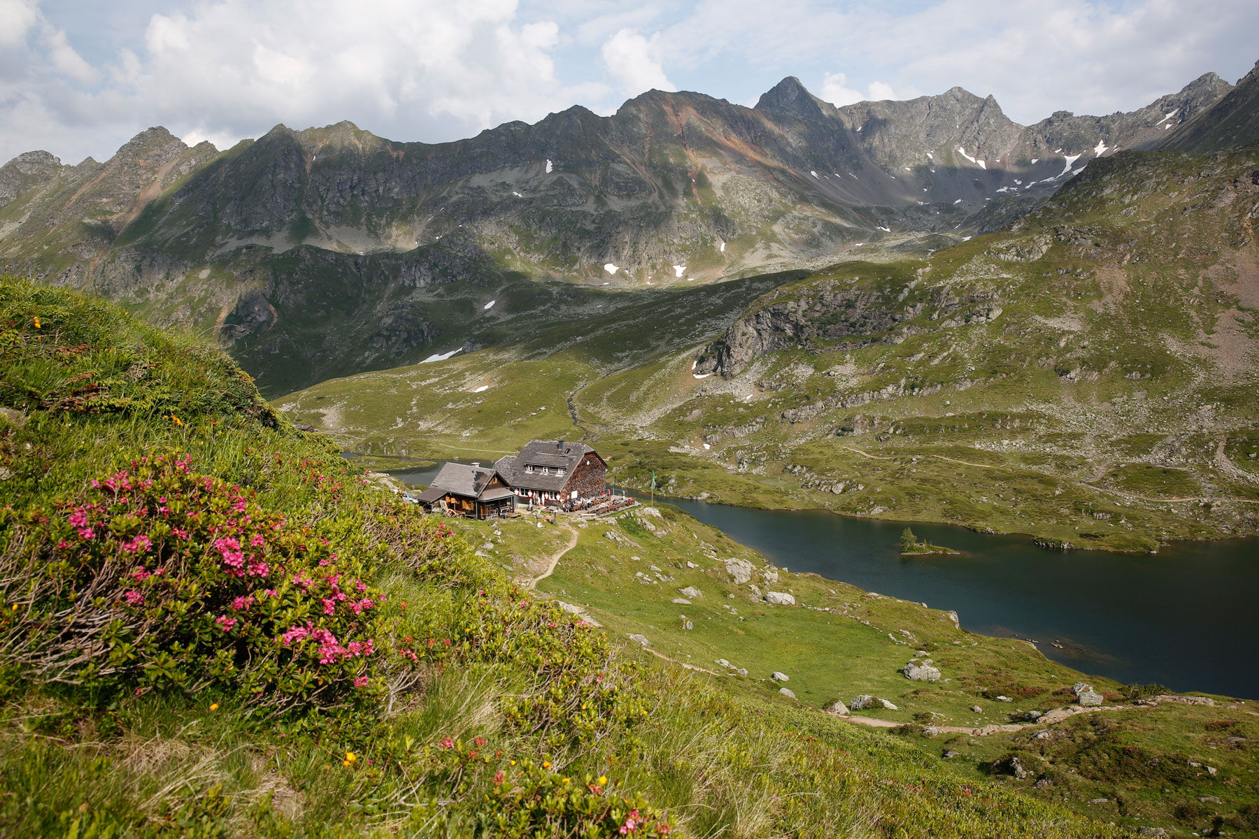
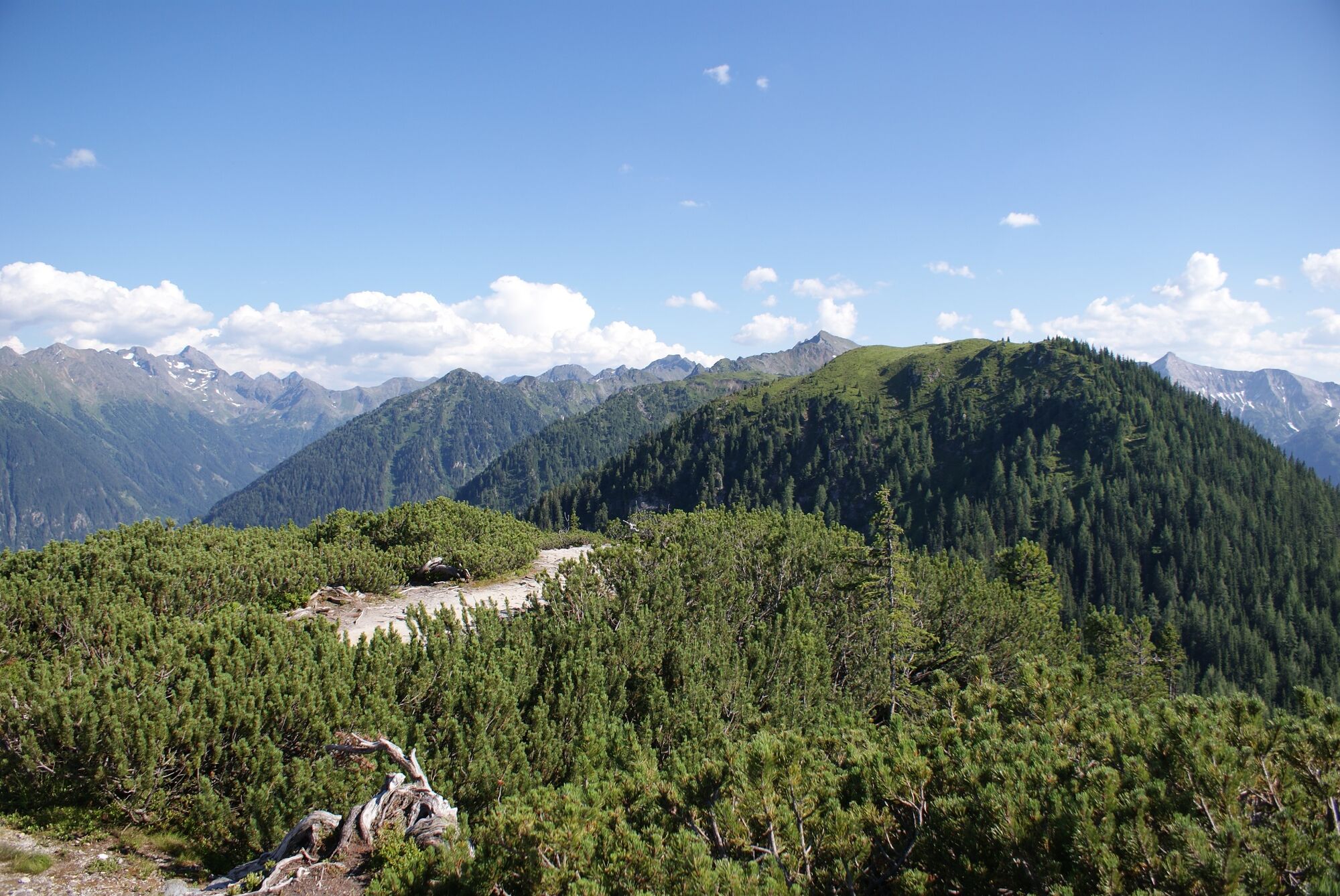
The route takes you on mountain trails across alpine pastures with some rocky sections, and a section through a forest of pines and larches. There are several huts and chalets inviting for refreshments: Ursprungalm chalet, Giglachseehütte chalet, Ignaz-Mattis-Hütte chalet and Hochwurzenhütte Inn.
Points of Interest:
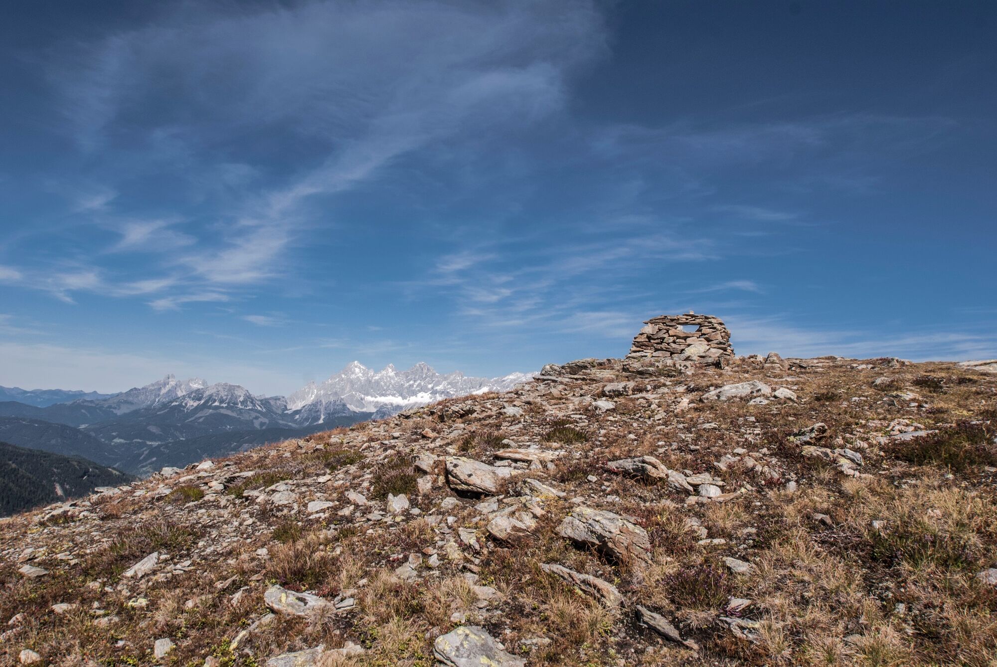
Historic Roman trail to Giglachseen Lakes Bettersee and Klammsee Lakes Schiedeck, Hochfeld and Guschen summits - Directions
-
From Ursprungalm you follow trail n° 771 via Rinderfeld and Preuneggsattel mountain saddle to Giglachseen Lakes, where you can make a first rest stop at Giglachseehütte or Ignaz-Mattis-Hütte chalet. You follow trail n° 702 along the lakes to Ignaz-Mattis-Hütte where you branch off left to Hochwurzen High trail n° 773.
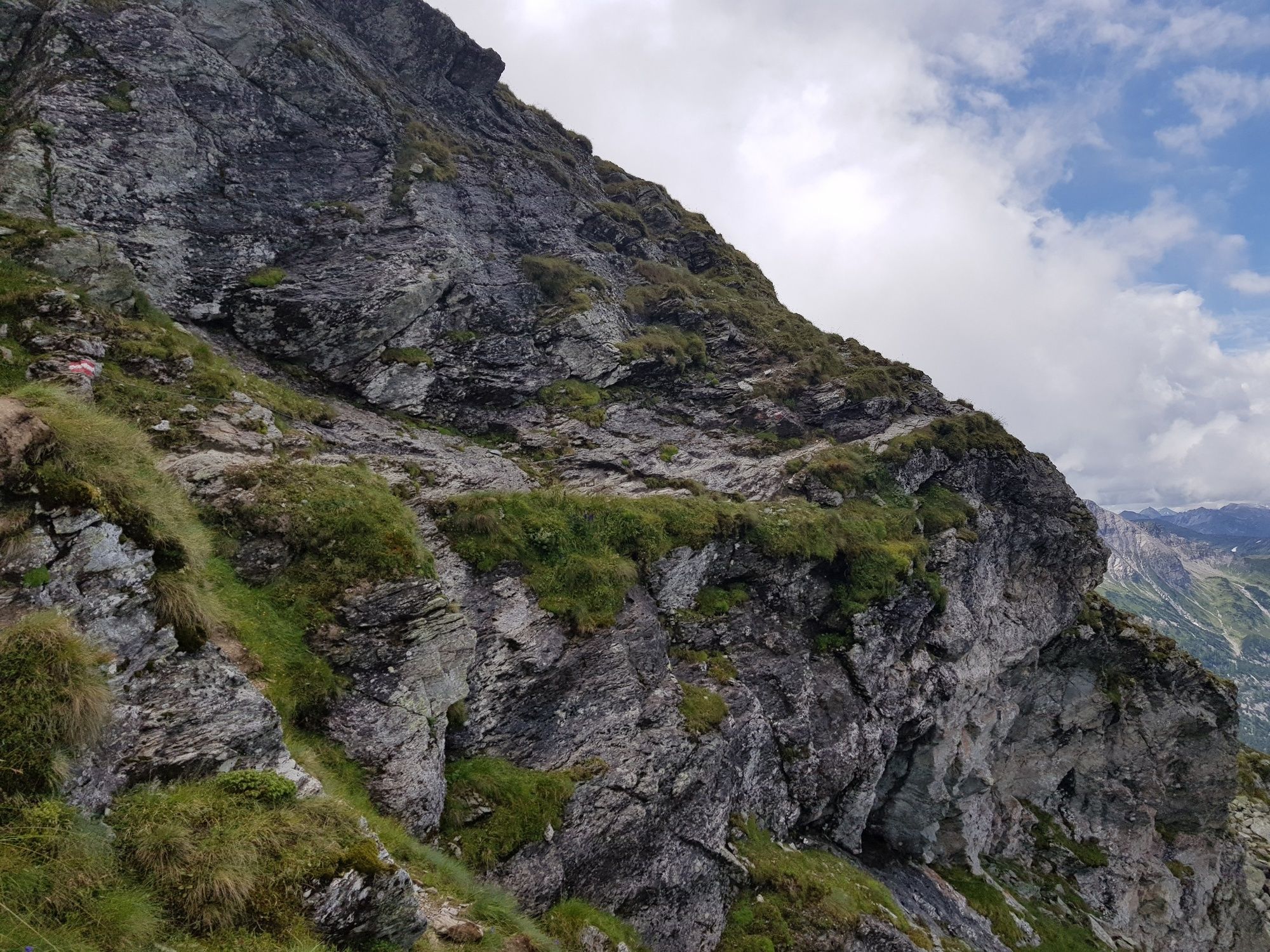
Now you hike up the mountain side above the chalet and soon reach Brettersee Lake. Further uphill - passing by East of Kampspitze - you then walk by above Klammsee Lake. Next, you walk along the West face of Schiedeck and then traverse its ridge to the East face. If you also want to reach the summit of Schiedeck, it takes an additional walking time of about 45 minutes.
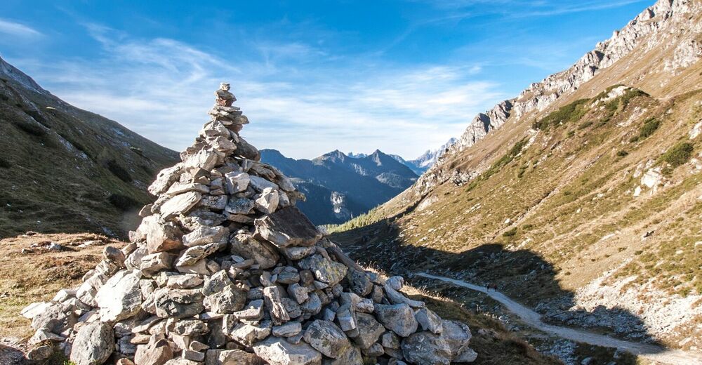
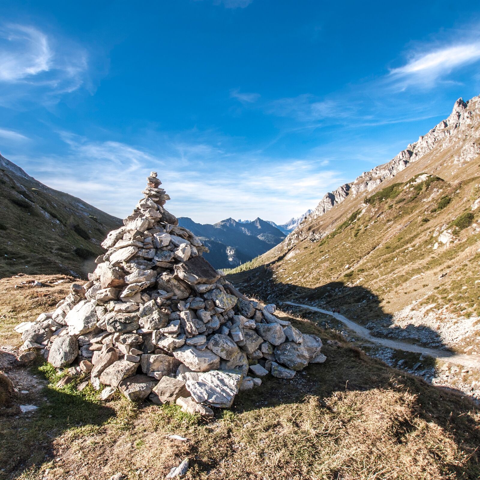
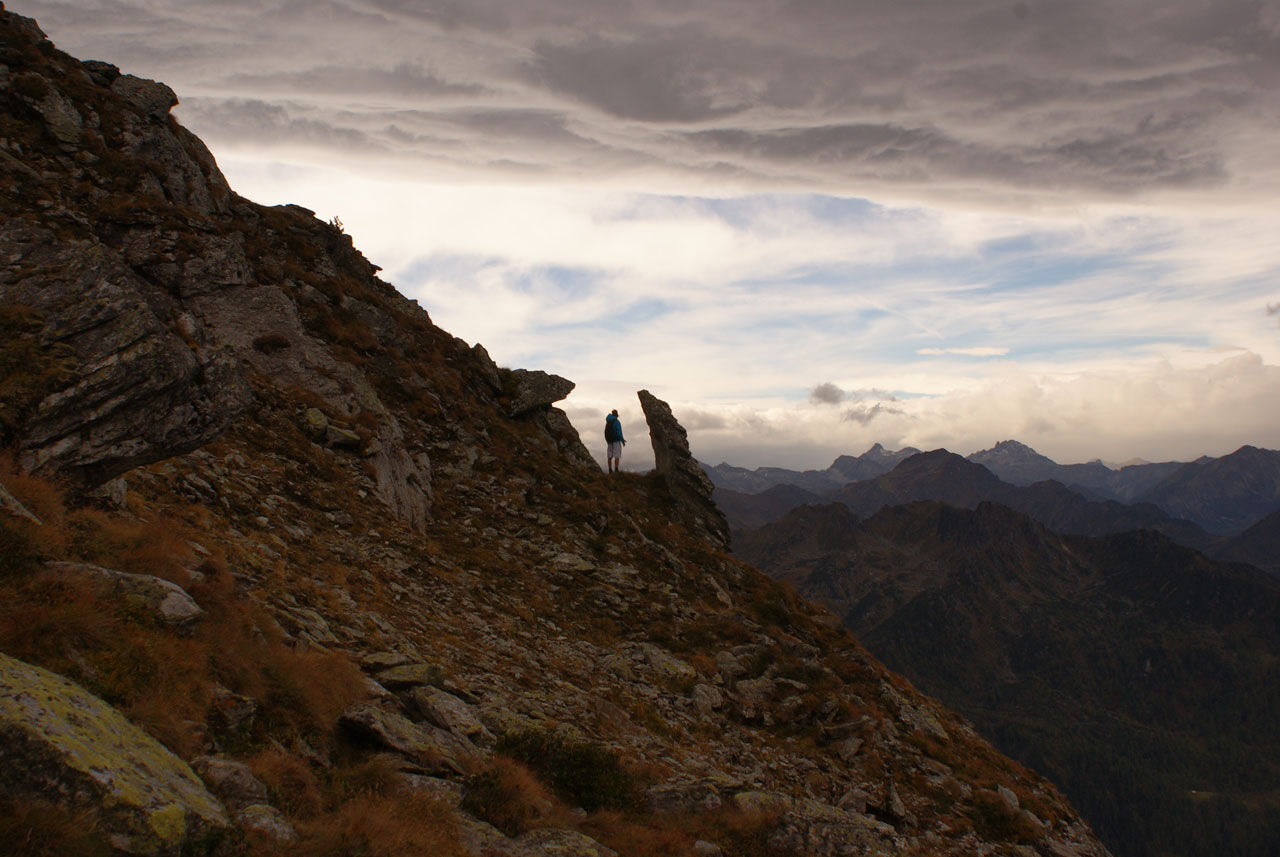
From Schiedeck you continue North - now the Dachstein massif is always in your view. Via Hochfeld (the detour via the summit takes only 10 minutes) and the prominent stone pile of "Hochfeldmandl" you continue to Guschen summit via "Schneider" (a small summit covered with dwarf pines). From Guschen you enjoy a great view to Obertal valley and Rohrmoos.
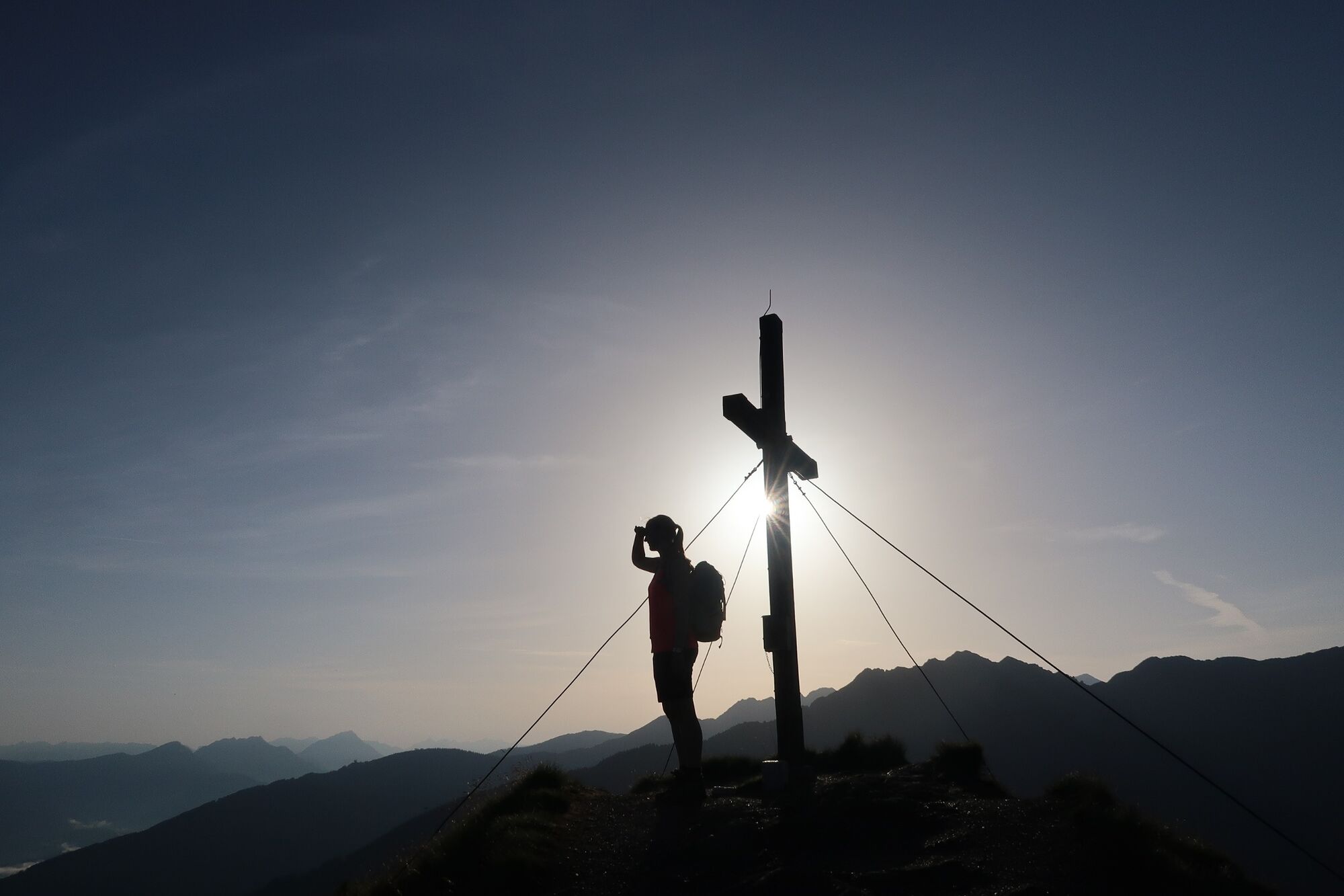
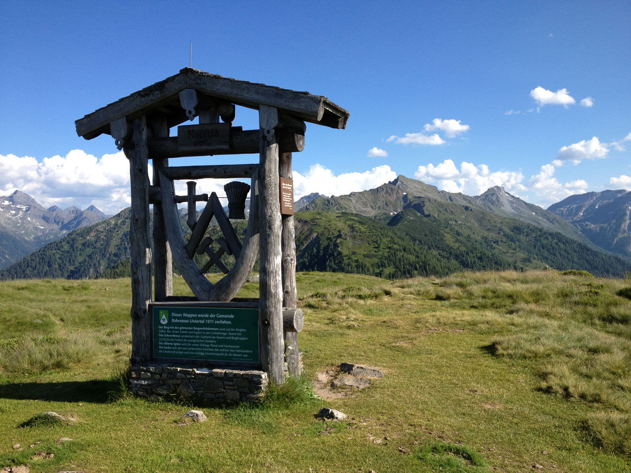
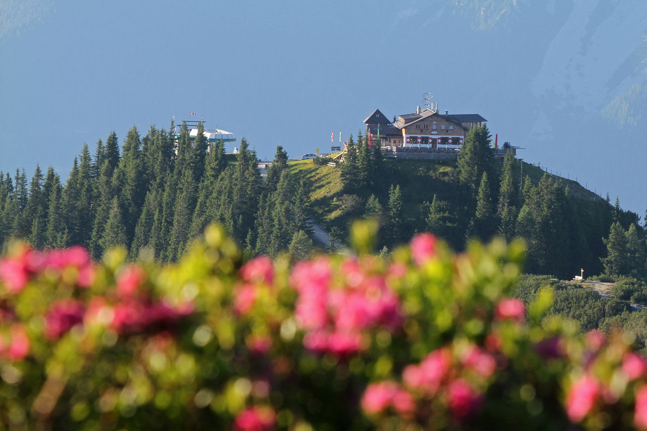
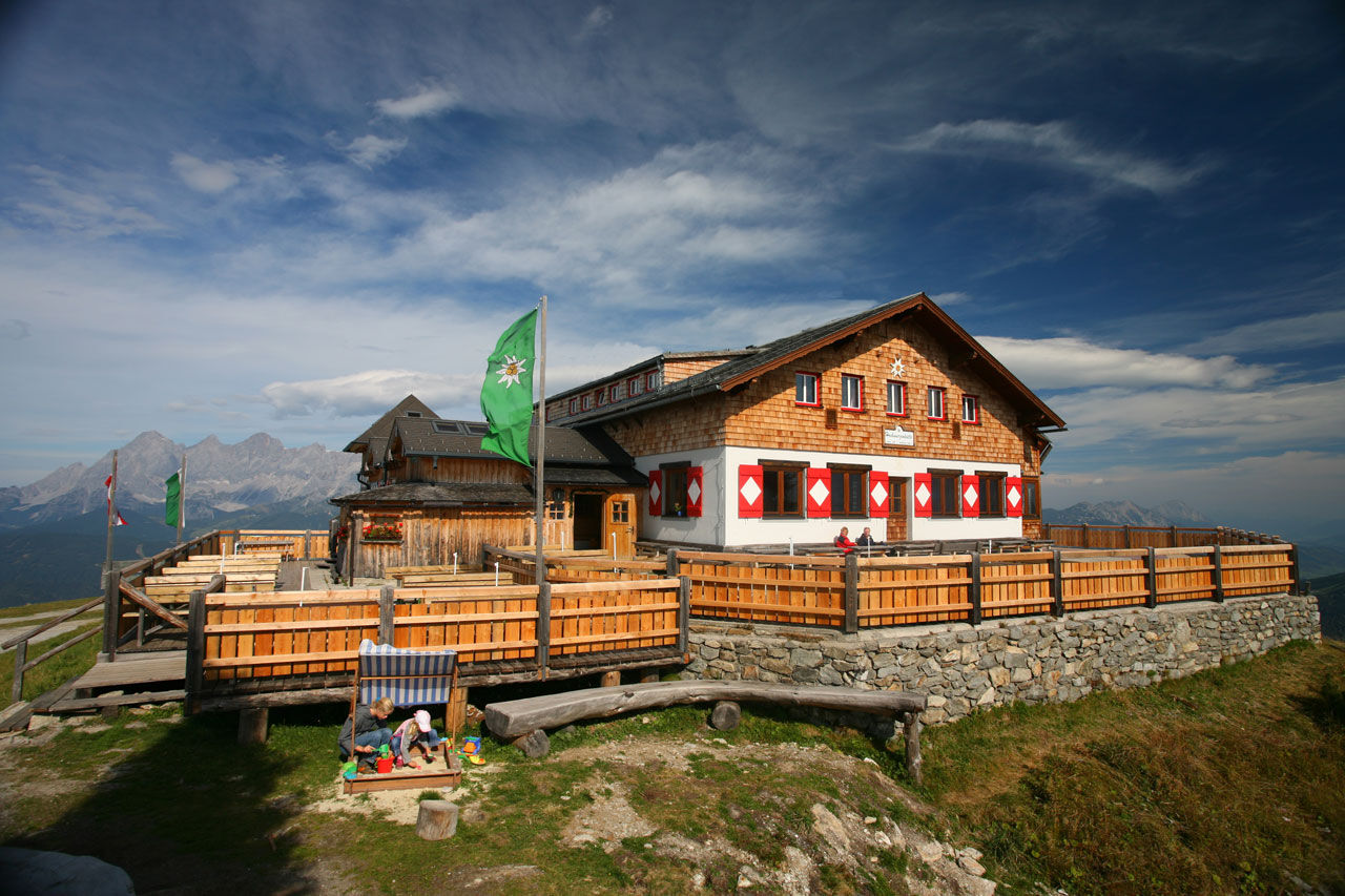
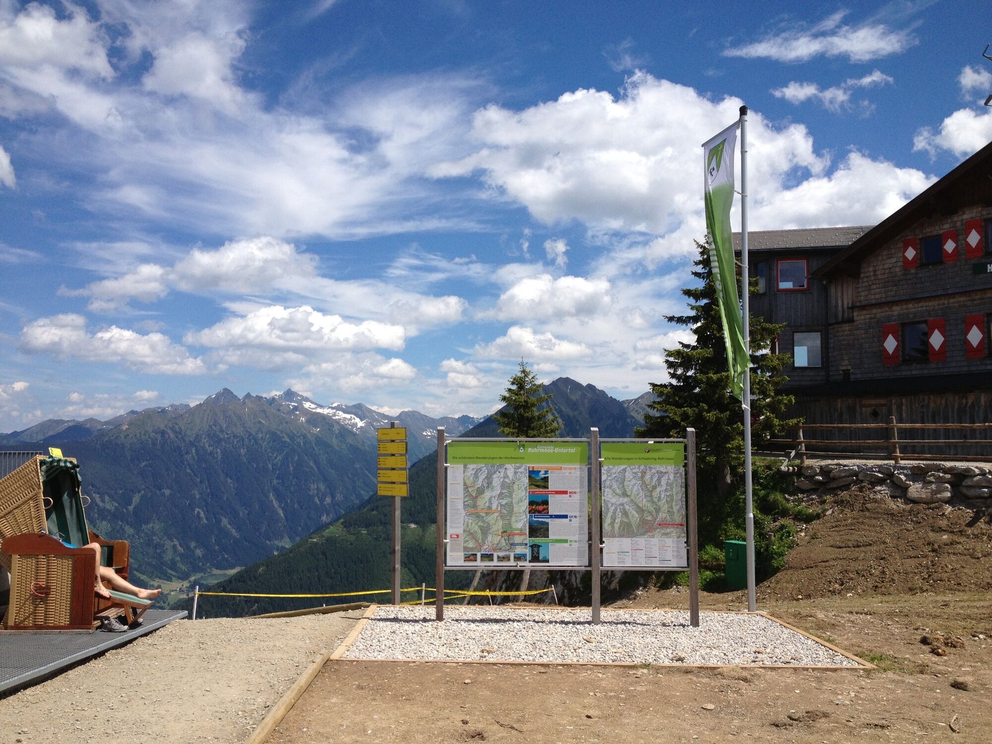
From Guschen summit you descend to Latterfußsattel mountain saddle and continue on trail n° 60 to the gras covered ridge of Rossfeld. The wooden coat of arms of Rohrmoos is a landmark on its summit. Via Hüttecksattel mountain saddle you finally reach Hochwurzenhütte Inn on the summit of Hochwurzen. From there you take Gipfelbahn Hochwurzen cable-car back to Rohrmoos.
- Highest point
- 2,252 m
- Endpoint
-
Hiking trail head Hochwurzen mountain terminal
- Height profile
-

- Equipment
-
A well-packed backpack is helpful and especially when touring Alpine terrain a tuque, gloves, a windproof jacket and pants are standard equipment. Good, waterproof shoes, sun glasses, sun cream and sufficient beverages are essential too. Torch light, a map of the area, knie and a small first-aid kit should also be in the backpack.
- Safety instructions
-
Changes in weather patterns, quick falls in temperature, thunderstorms, wind, fog and snow are some of the dangers that can be encountered on a hiking tour. Hosts of alpine huts and mountain refuges have a lot of experience in the mountains and can give good advice about weather and the trails. Poor equipment, overestimation of one's own capabilities, carelessness, poor personal constitution and/or wrong judgement can lead to critical situations. In case of thunderstorms: avoid summits, ridges and steel ropes.
GPS data and orienteering
Available GPS data - just like hiking maps - is only a guidance for orientation and can never depict a trail exactly with all its details. Especially at dangerous spots it is essential to judge on site how to proceed.
In an emergency please call:
140 - for Alpine emergencies (all over Austria) 112 - European GSM emergency number - Tips
-
Along Hochwurzen High Trail there are several oppotunities to shorten the hike and descend to the valley. This way, you can also start the hike when weather conditions are not totally reliable. Possibilities for an earlier descent:
Near Hochfeld summit to Oberen Neudeggalm/Ursprungalm chalets From Latterfußsattel mountain saddle to Untere Neudeggalm chalet/Hotel Winterer From Latterfußsattel mountain saddle to Obertal/Rohrmoos From Hüttecksattel mountain saddle to Hotel Winterer/Rohrmoos Take enough drinks with you on the way - due to the topography of the trail there is no reliable fresh water source between Brettersee Lake and Hochwurzenhütte Inn. - Additional information
-
Tourist information: www.schladming.com
Information about bus schedules: www.planaibus.at
Information about cable-car hours: www.planai.at
360° drone images
Get yourself an overview with our 360° drone images:
Hochwurzen, Rossfeld & Guschen: https://vonoben.schladming-dachstein.at/sommer/index.php?S=305 Hochfeld and Schiedeck: https://vonoben.schladming-dachstein.at/sommer/index.php?S=306 View over Giglachkar cirque: https://vonoben.schladming-dachstein.at/sommer/index.php?S=307 Giglachseen and Kalkspitzen summits: https://vonoben.schladming-dachstein.at/sommer/index.php?S=308 Lower Giglachsee Lake and Vetternkar cirque: https://vonoben.schladming-dachstein.at/sommer/index.php?S=309 - Directions
-
From Schladming into the direction of Rohrmoos, at the roundabout Rohrmoos straight ahead to the Hochwurzen cable car. From here we recommend to take the Planai bus.
- Public transportation
-
With the Planai buses to Ursprungalm chalets in Preuneggtal valley. From the valley terminal of Gipfelbahn Hochwurzen cable-car take the bus back to Rohrmoos and Schladming.
In case you hike the opposite direction please tell the staff at the valley terminal of Gipfelbahn Hochwurzen cable-car if you need transportation with the bus from Ursprungalm chalets - this way the bus company can plan accordingly and eventually send additional buses to Ursprungalm in the afternoon.
- Parking
-
Parking is available at the valley terminal of Hochwurzen cable car.


-

-
AuthorThe tour High Trail Ursprungalm - Giglachseen - Hochwurzen is used by outdooractive.com provided.


General info
-
Schladming - Dachstein
3011
-
Schladming - Rohrmoos
1490
-
Pichl
525


