- Brief description
-
Beautiful circular hike along the cultural, historical and natural beauties in Trautenfels, Untergrimming and Pürgg.
- Difficulty
-
easy
- Rating
-
- Starting point
-
Train station Trautenfels
- Route
-
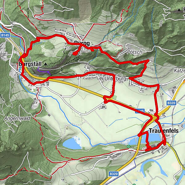
Schlosstaverne0.0 kmTrautenfels0.1 kmFischrestaurant0.6 kmUnterburg2.3 kmUntergrimming3.8 kmPürgg5.3 kmGasthaus Krenn5.3 kmPfarrkirche hl. Georg5.6 kmLandgasthof Moessner5.9 kmJohanneskapelle6.0 kmTrautenfels8.5 kmSchlosstaverne8.6 km
- Best season
-
JanFebMarAprMayJunJulAugSepOctNovDec
- Description
-
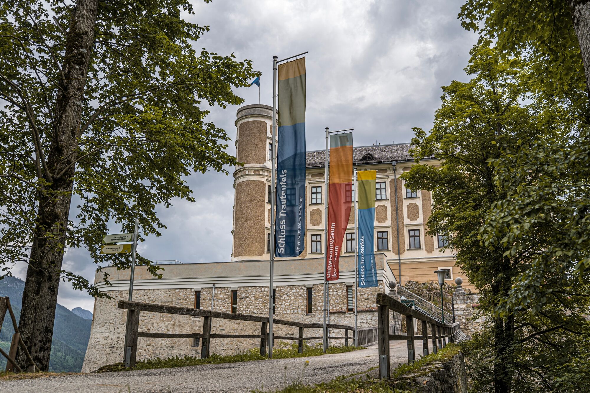
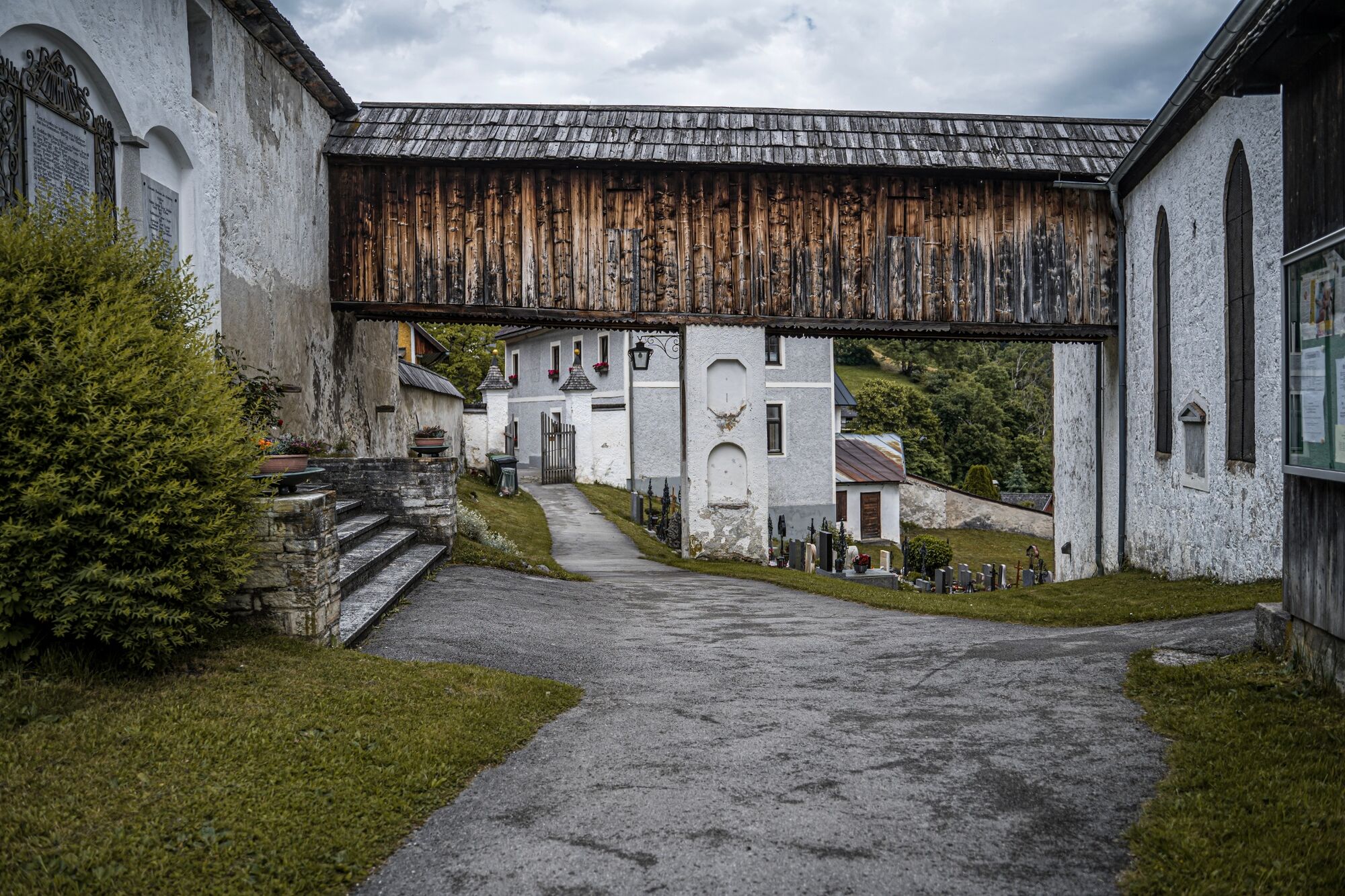
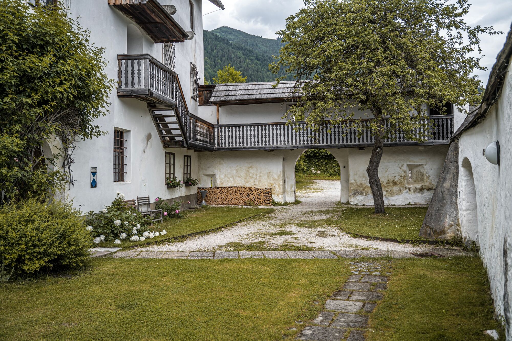
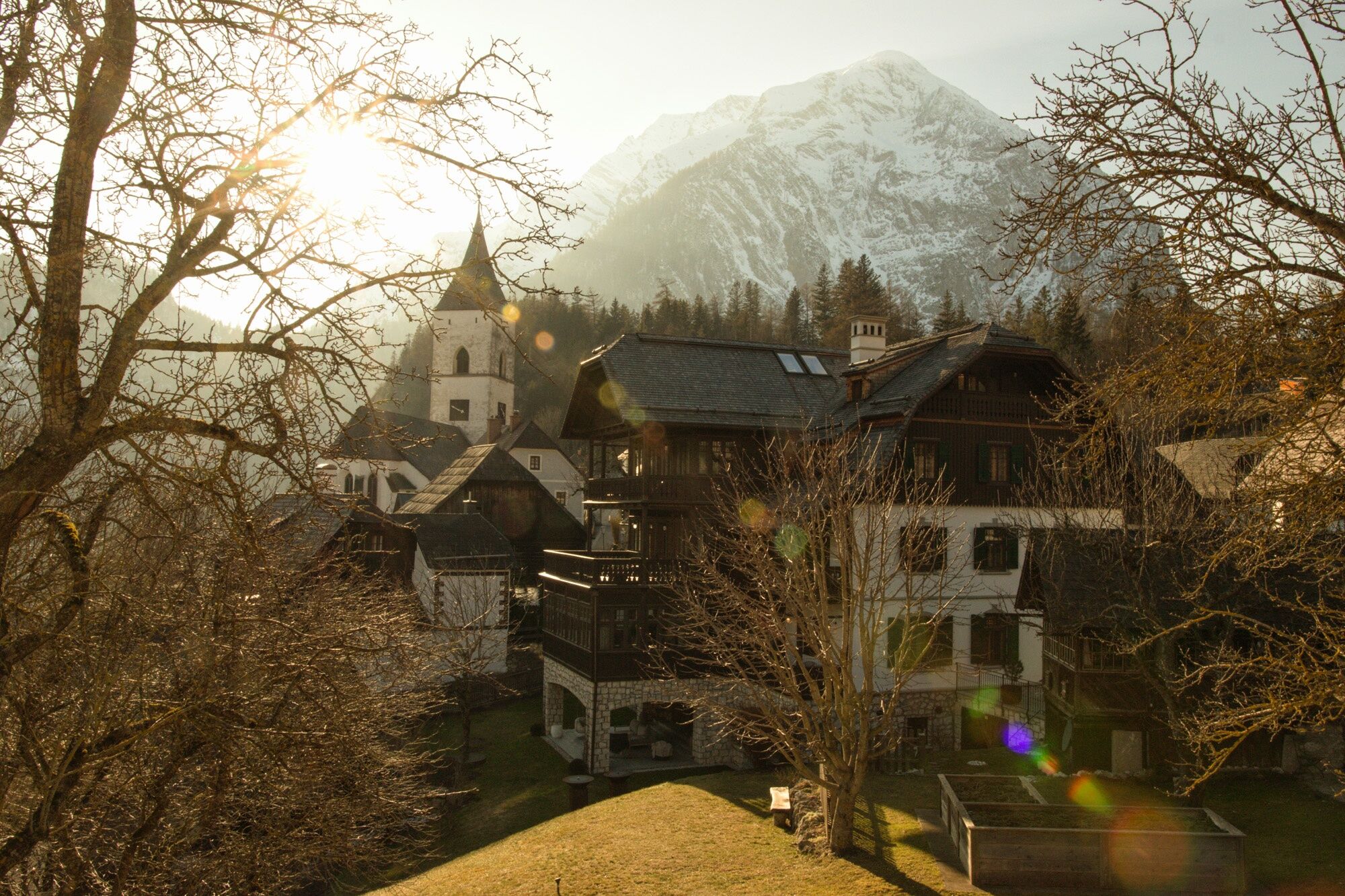
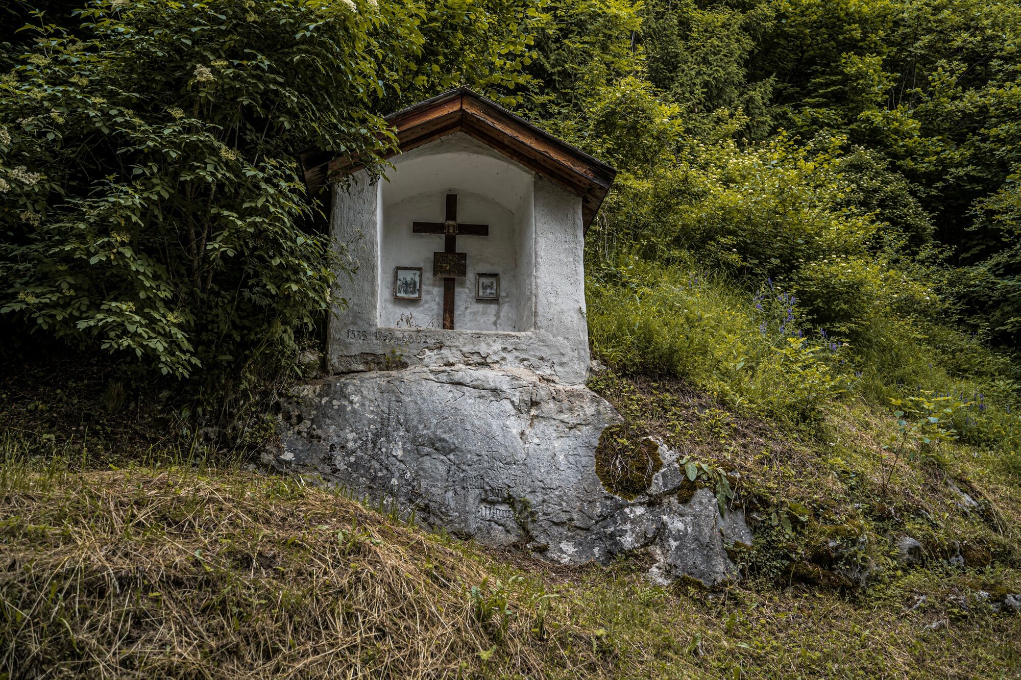
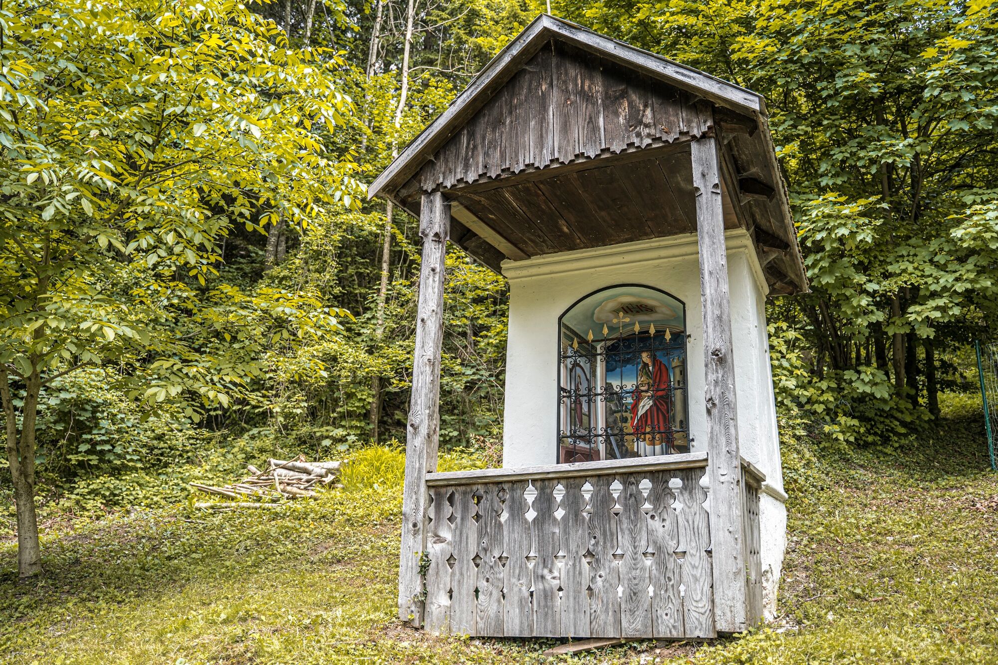
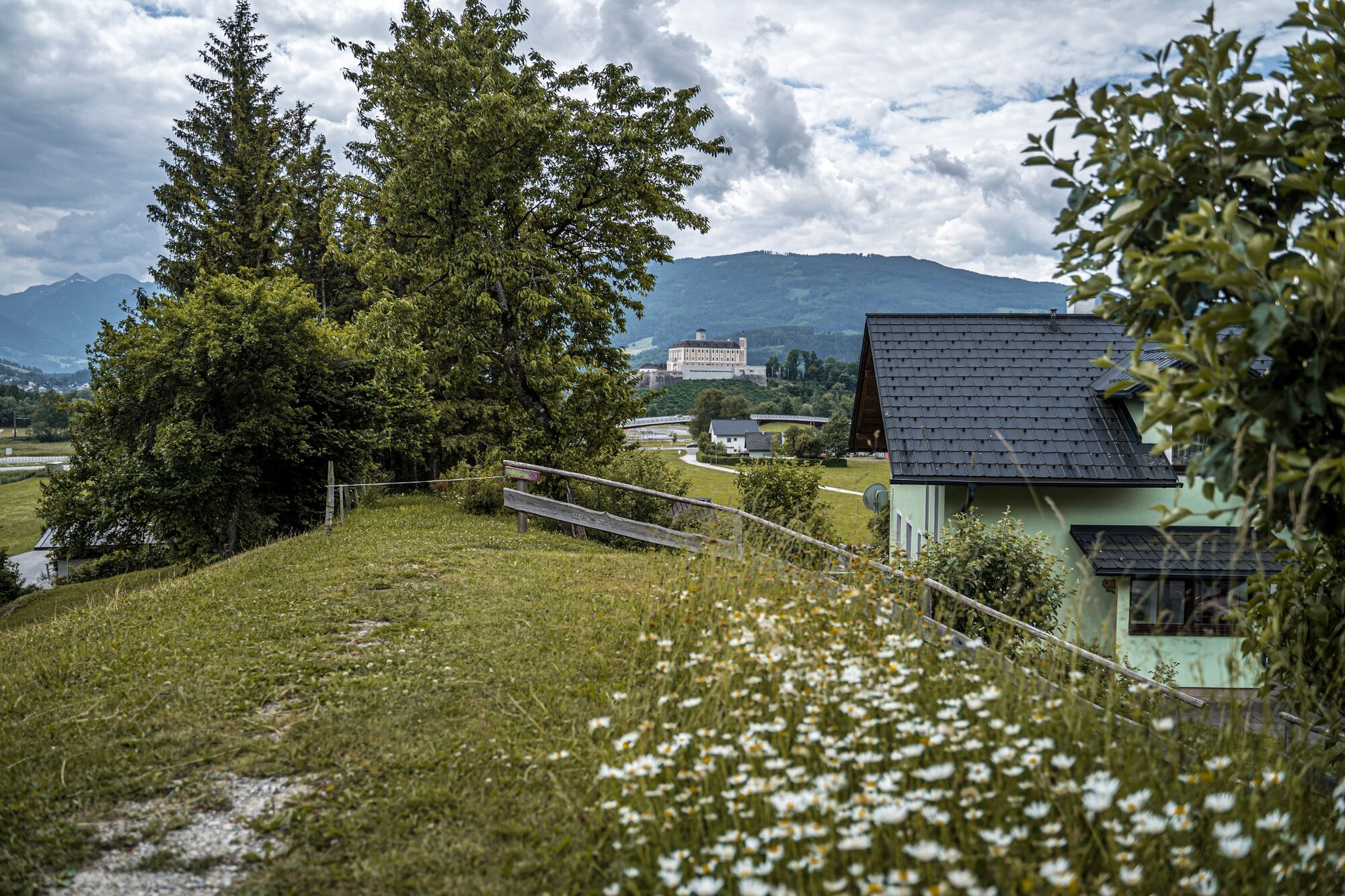
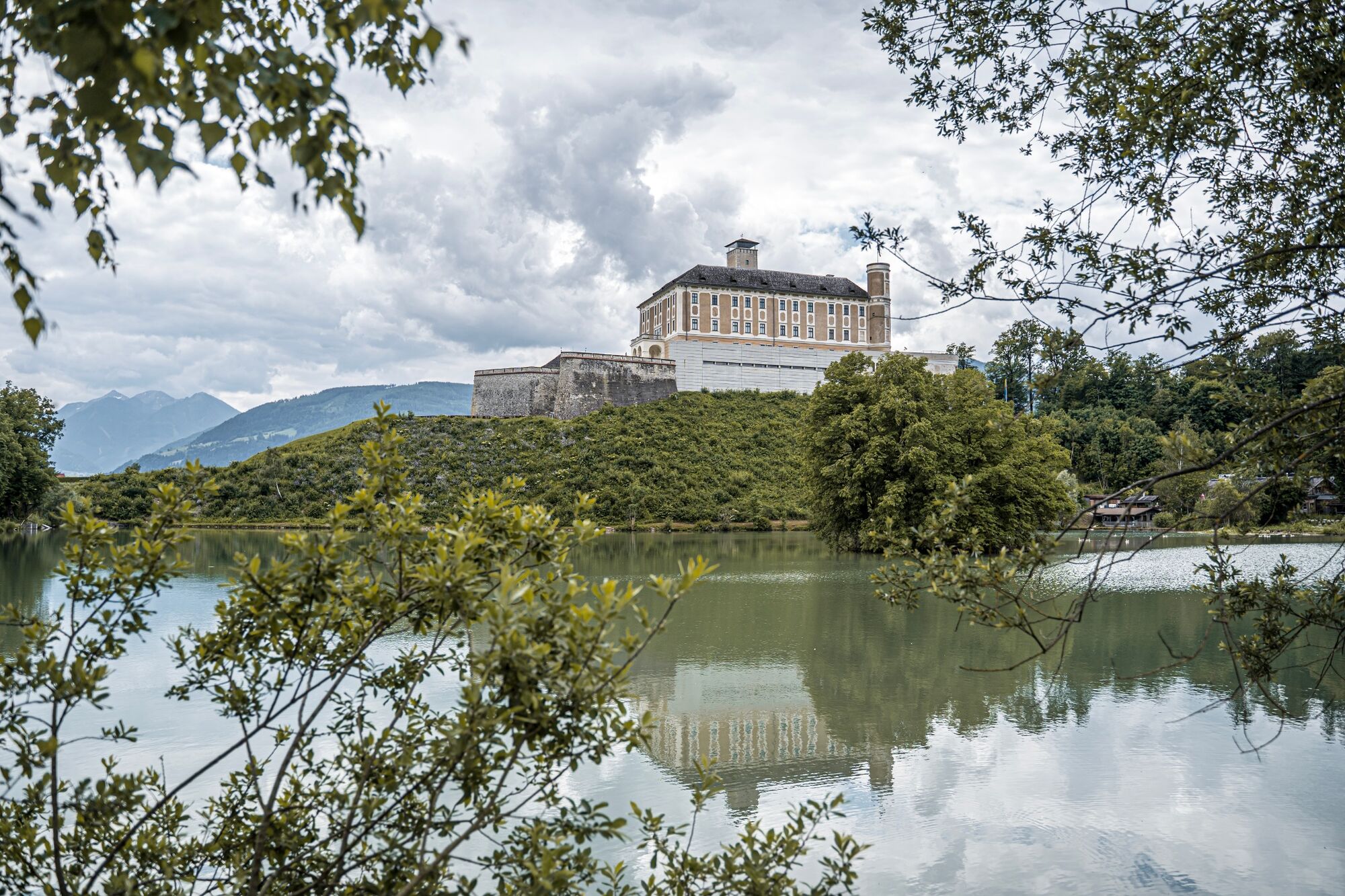
NATURALLY CULTURAL. On this tour you hike through cultural features such as Trautenfels Castle, the burial ground (Pfanner) and via the Kapuzinersteig the St. Georg parish church and St. John's Chapel in Pürgg. With a short detour also the church ruins of the Neuhaus Protestant church are on your way. Also scenically a beautiful round that takes you past the castle ponds.
- Directions
-
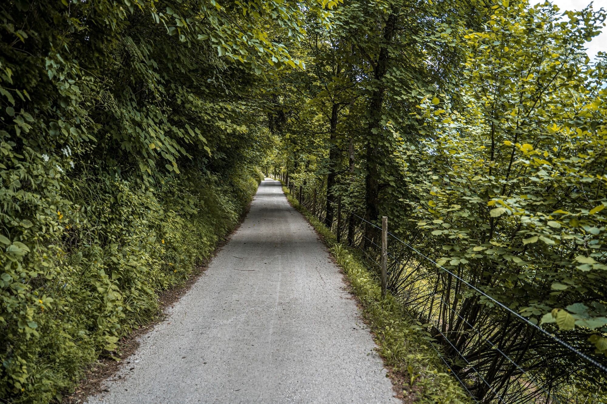
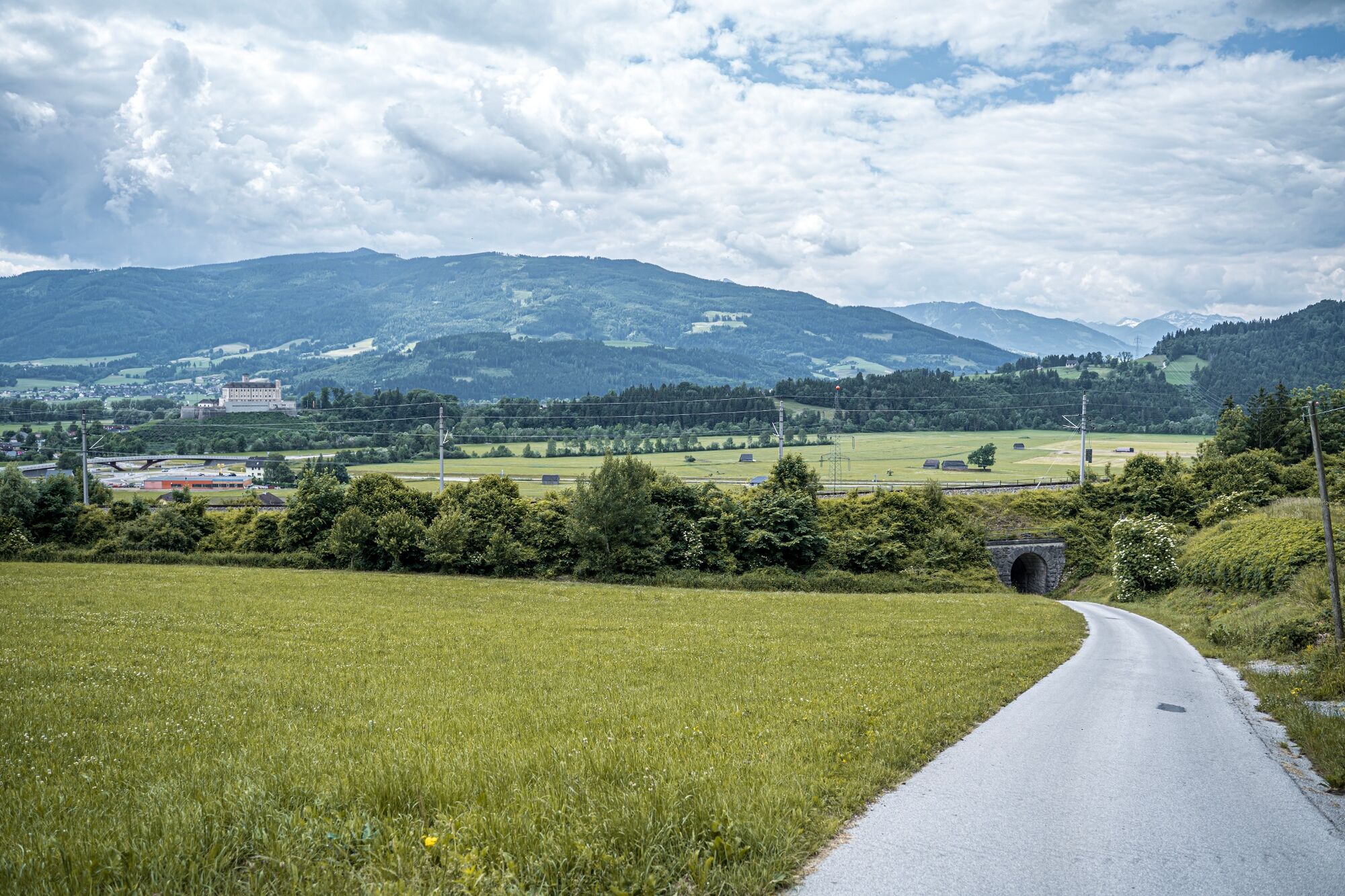
You start your tour at the Trautenfels train station or in the adjacent parking lot. From there you hike up to Trautenfels Castle and next to the castle bridge down to the Rieger fish restaurant. At the curve at the access road, turn left and then cross under the main road. Then turn right over the footbridge and along the road in the direction of the roundabout. Now follow the B145 towards Ausseerland and at the Unterburger exit through the underpass to Unterburg. Into the village and after the nursing home continue left. Out of Unterburg and through a small forest to Untergrimming.
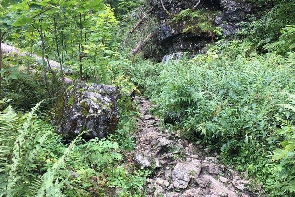
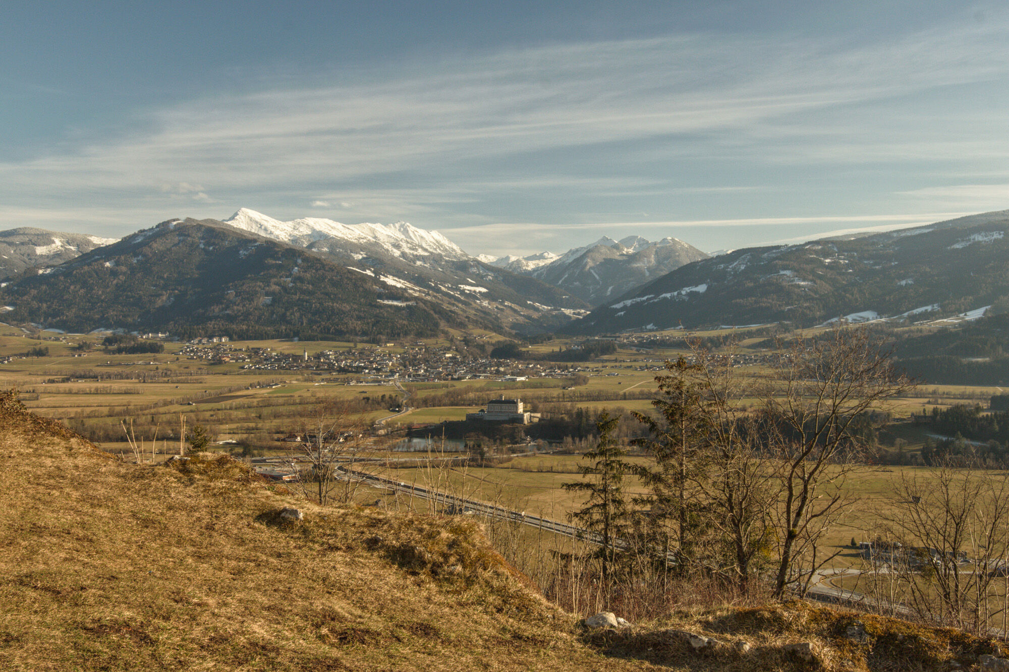
From there along the Kapuzinersteig up to the village of Pürgg. Here it is worth looking at the parish church of St. George and the associated cemetery. The view down to the castle, to the Ennsboden and to the west to the Grimming is an impressive sight. Passing the Krenn inn and the Johannes chapel, you hike from Pürgg back down in the direction of the Unterburg. A bit in the direction of Stainach and then via the Schranz-Hof it now goes back over to Trautenfels to your starting point.
- Highest point
- 810 m
- Endpoint
-
Train station Trautenfels
- Height profile
-

- Equipment
-
Good shoes, clothes and a small backpack.
- Safety instructions
-
Plan your trip in advance, taking into account walking time, distance, elevation gain, hazards, and weather reports.
Let others know where you are going and when you want to be back.
Turn back in good time if the weather deteriorates. If you are caught in a thunderstorm, stay away from free-standing trees and wait out the storm, crouching if possible.
Stay on marked trails and remember to close pasture fences.
If you are a dog owner: Clarify before the hike if you need to cross a pasture. Keep your dog on a leash and make sure it stays calm. If a cow attacks, let the dog off the leash immediately. Never pick him up to defend him. - Tips
-
From Trautenfels Castle, only a few minutes away, the detour to the Neuhaus church ruins is worthwhile (about 30 minutes round trip).
- Additional information
-
Tourism information: www.schladming-dachstein.at
Tourist Office Schladming-Dachstein
Ramsauerstrasse 756
8970 Schladming
T: +43 3687 23310
Garbage on meadows and paths can not smell mountain and valley. Please take it with you. Agriculture and forestry are important partners for Berg und Tal. They allow you to walk and drive on many of their paths. Be aware that only good cooperation will guarantee your recreational enjoyment in the future.
- Directions
-
On the Ennstal federal road B 320, exit at the roundabout in Trautenfels. There is a public car park on the right before the level crossing.
- Public transportation
-
Take the ÖBB regional trains to Trautenfels station. There you start your hike. At the car park at Trautenfels Castle you will find a hiking information board.
- Parking
-
Public parking lot next to the train station in Trautenfels.
-

-
AuthorThe tour Culture & Nature Loop is used by outdooractive.com provided.