- Brief description
-
An easy hike to get to know the region around Möderbrugg and St. Oswald.
- Difficulty
-
easy
- Rating
-
- Starting point
-
Möderbrugg Adeg Markt
- Route
-
Möderbrugg0.1 kmKroisenbach1.4 kmSankt Oswald4.5 kmFalting6.0 kmMöderbrugg7.1 km
- Best season
-
JanFebMarAprMayJunJulAugSepOctNovDec
- Description
-
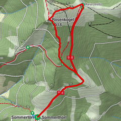
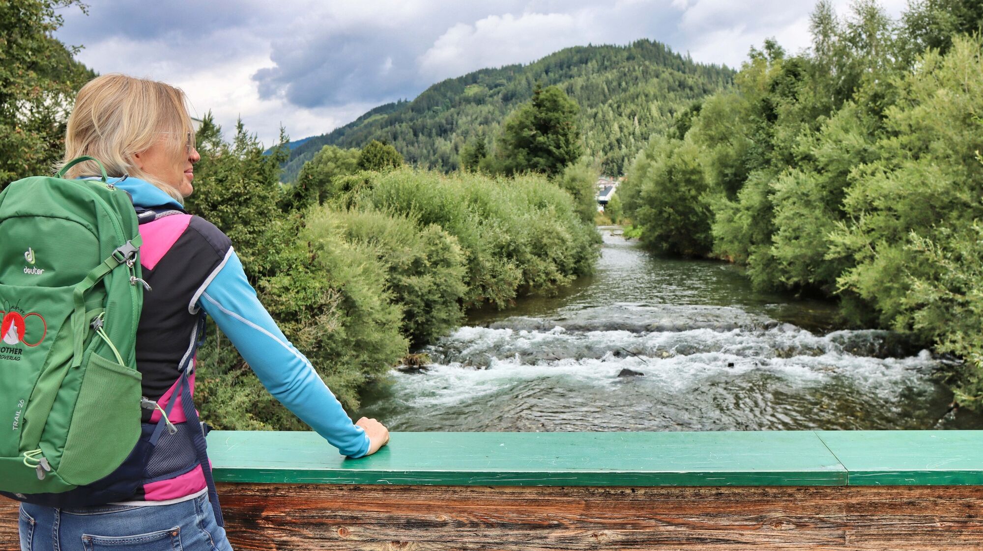
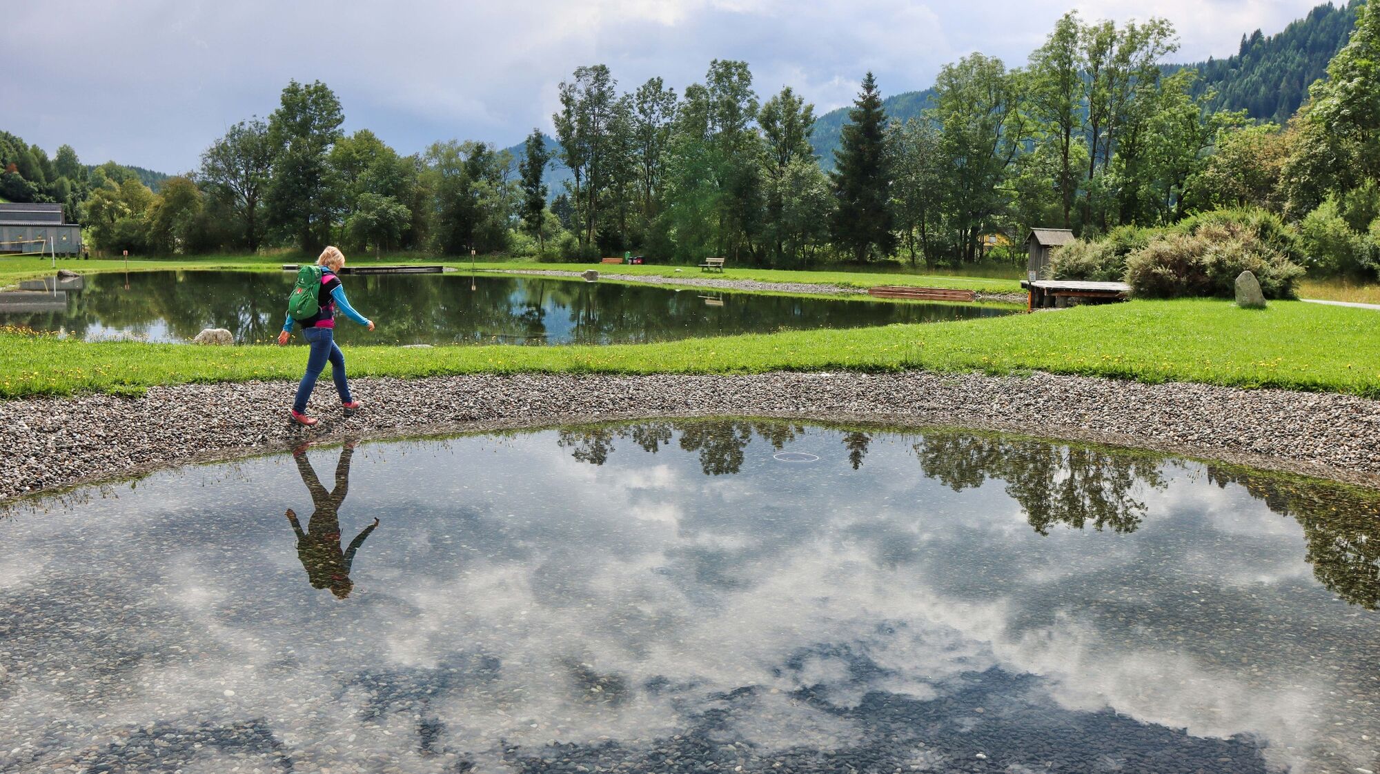
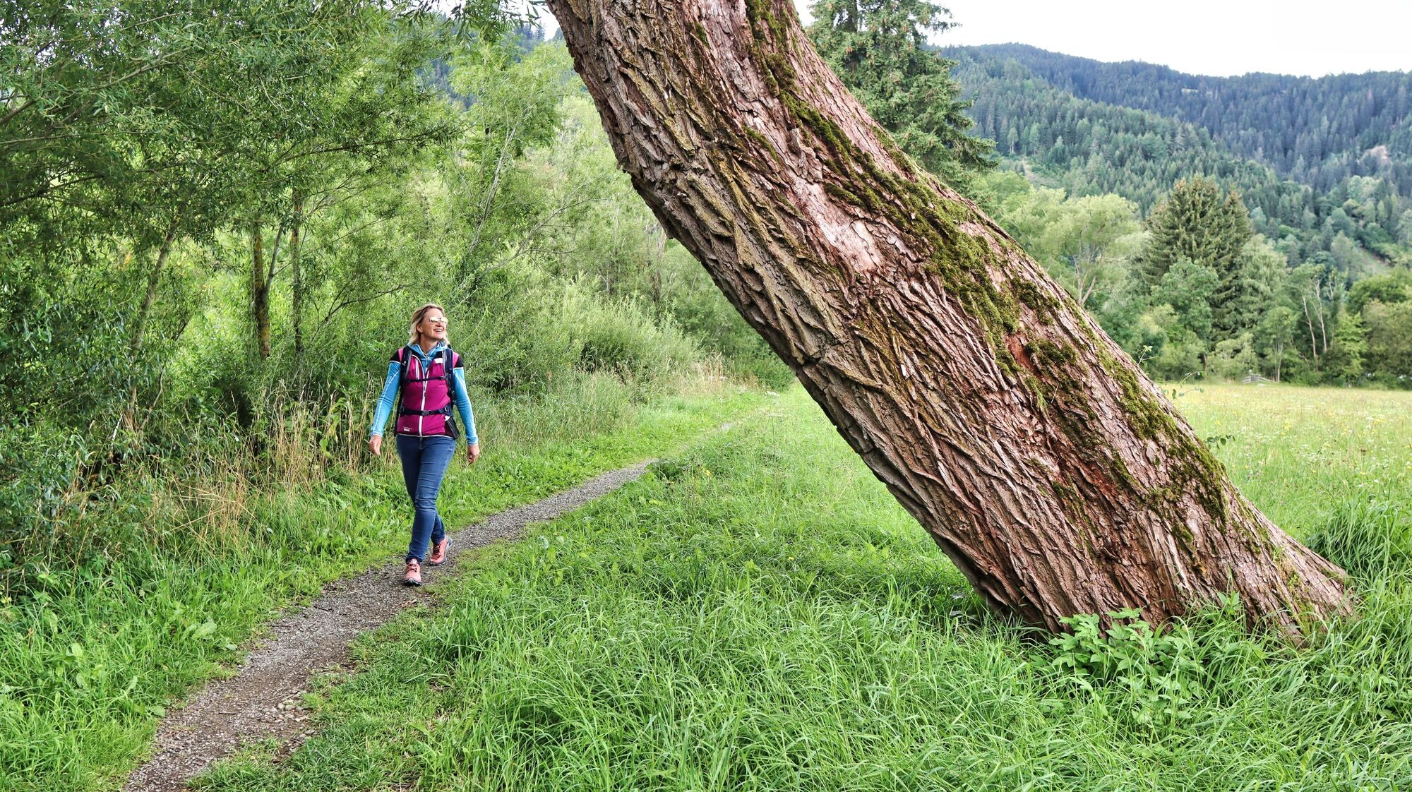
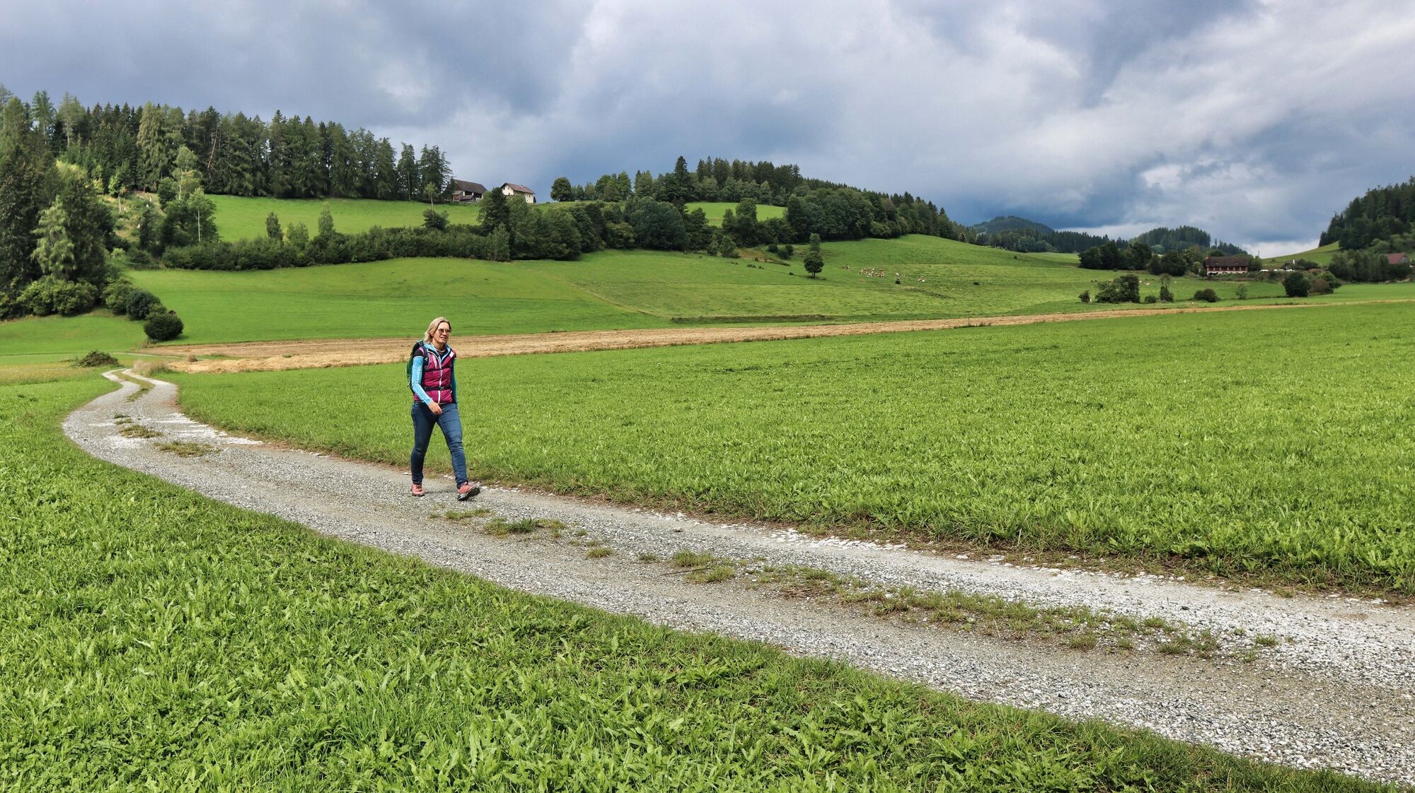
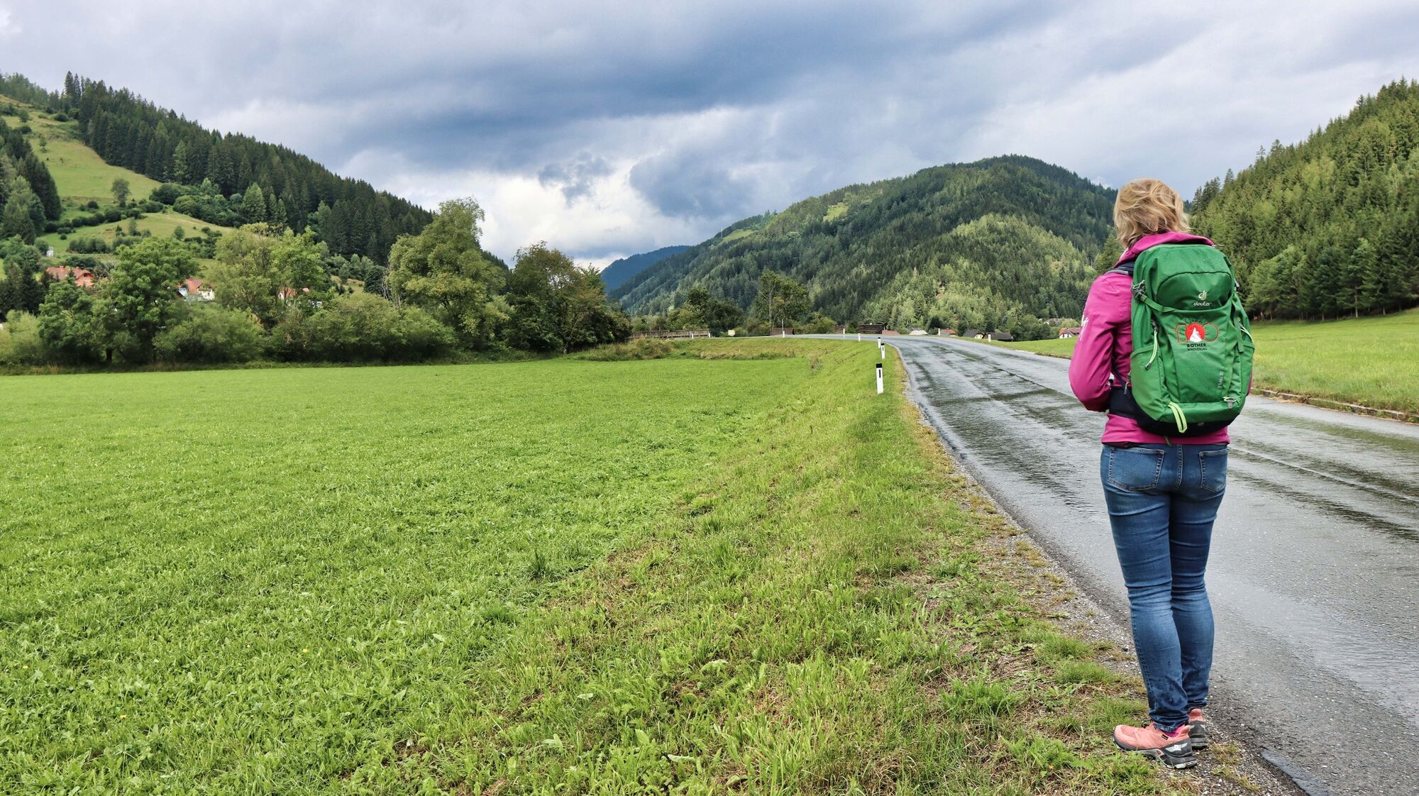
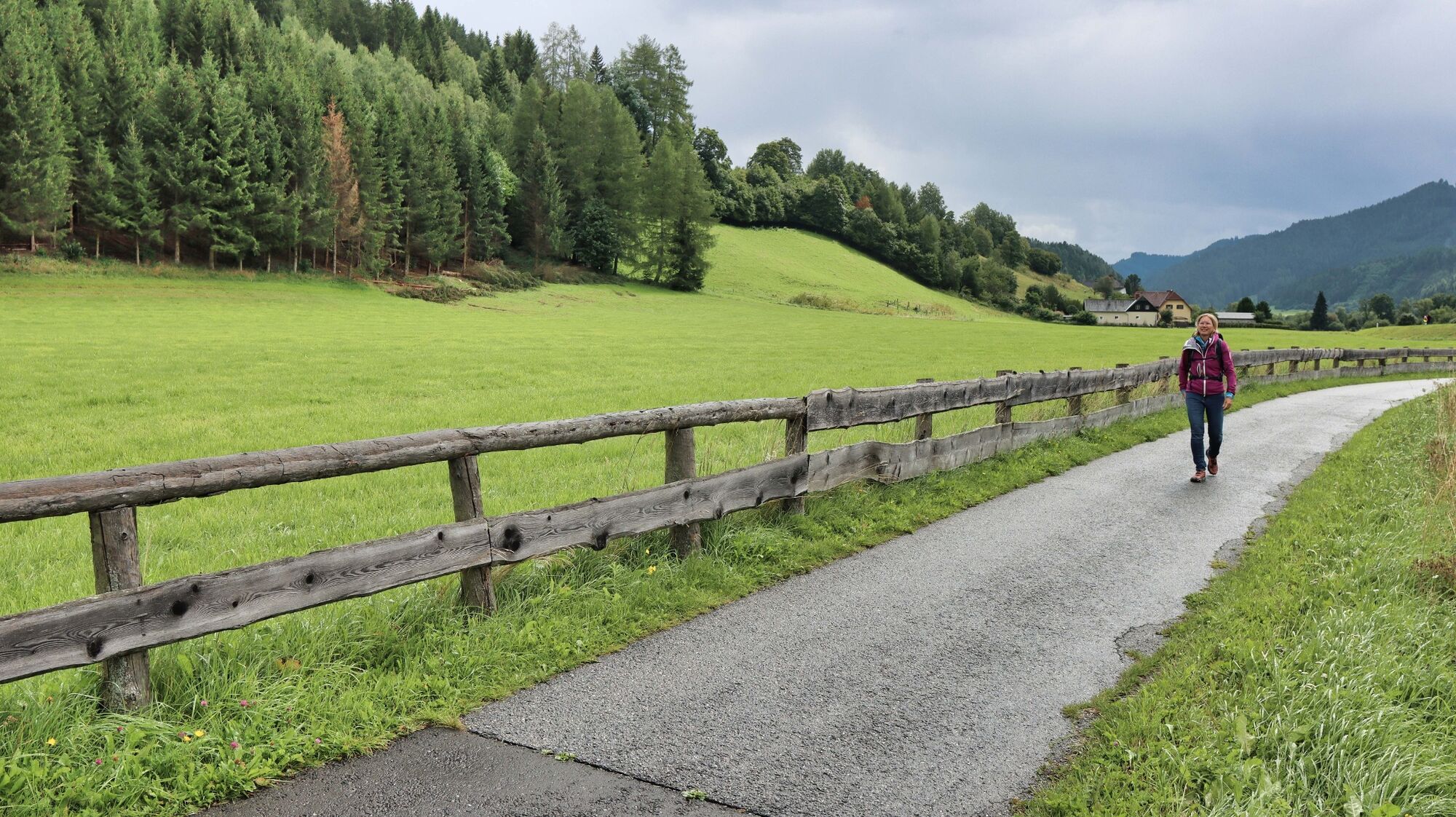
This leisurely circular hike connects the villages of Möderbrugg and St. Oswald and leads through the glacial landscape of the Pölstal valley. Minimal differences in altitude and the views of the surrounding mountains speak in favour of this hike, which can be described more as a walking tour. If you are travelling from the Mur Valley towards Hohentauern by car, you would never guess that there is a wonderful recreational and hiking area around Möderbrugg. After just a few minutes' walk, you are visually and acoustically distanced from the busy Triebener Straße and can enjoy the landscape to the full. The first part of the trail is dominated by water, on the one hand by the pond and on the other by the Pöls. The second section takes you across agricultural land to St. Oswald. From here, you can hike on to the 1918 m high Rosenkogel via the Sommerriedelweg or the Grünholzsteig. The rest areas in the centre of St. Oswald are striking: Seating areas designed as postcards with old photo motifs and quotes from the years 1930, 1945 and 2019.
- Directions
-
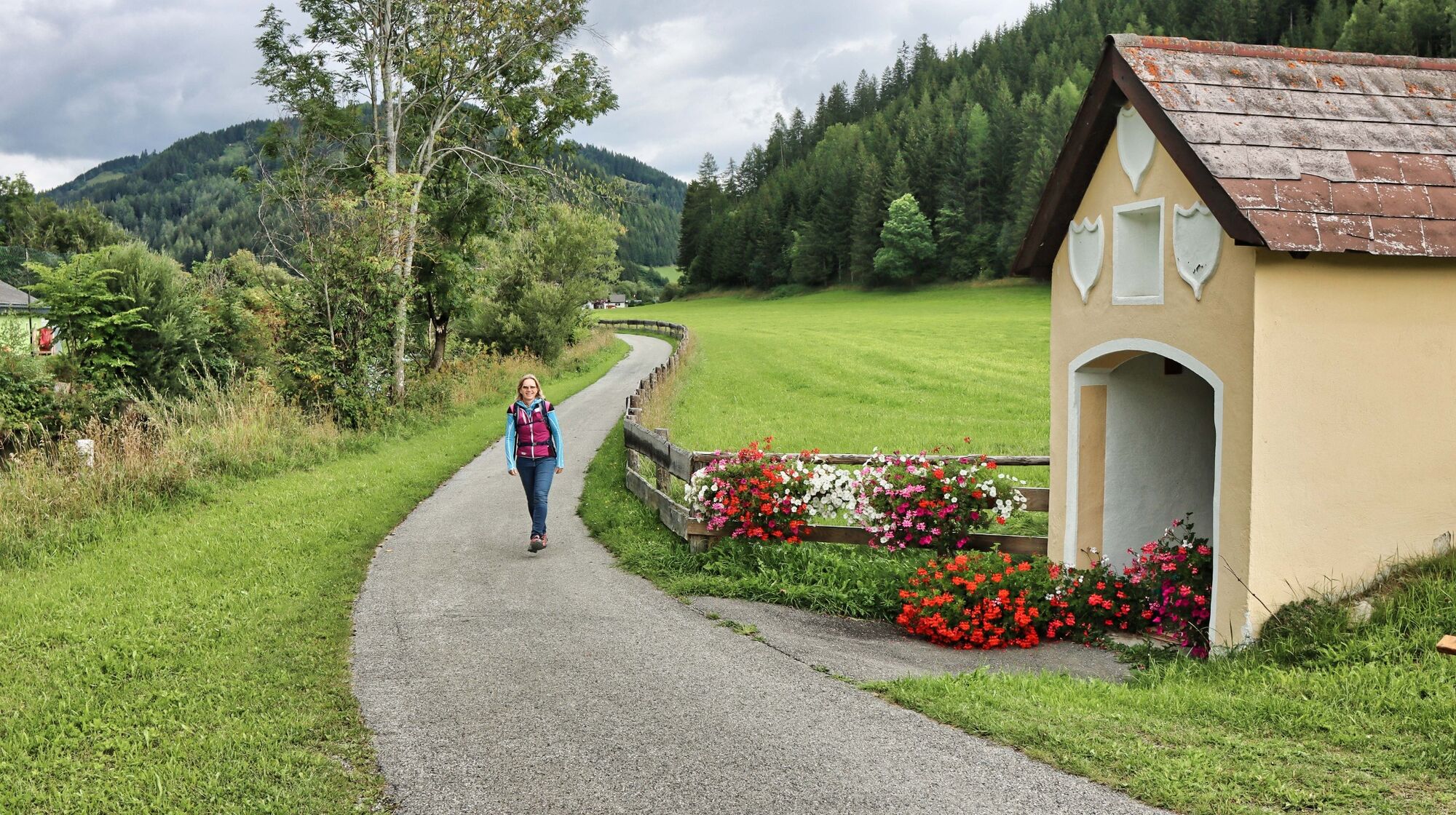
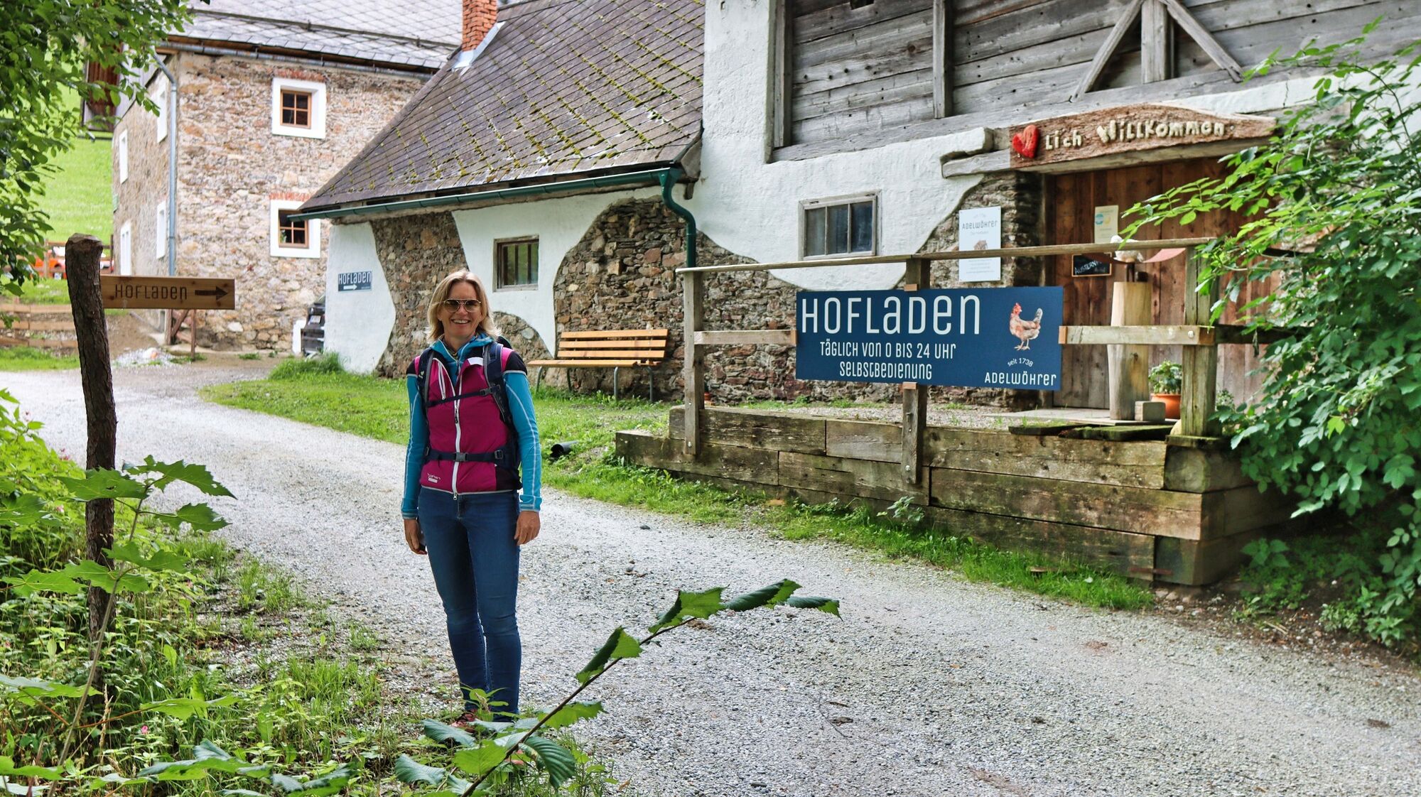
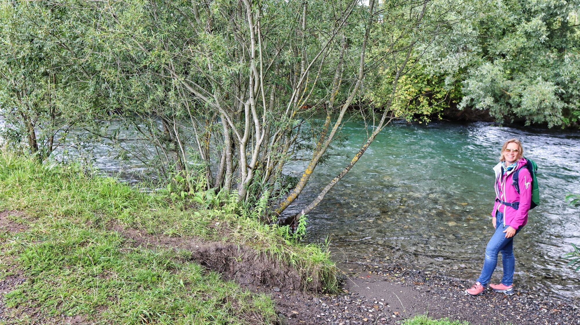
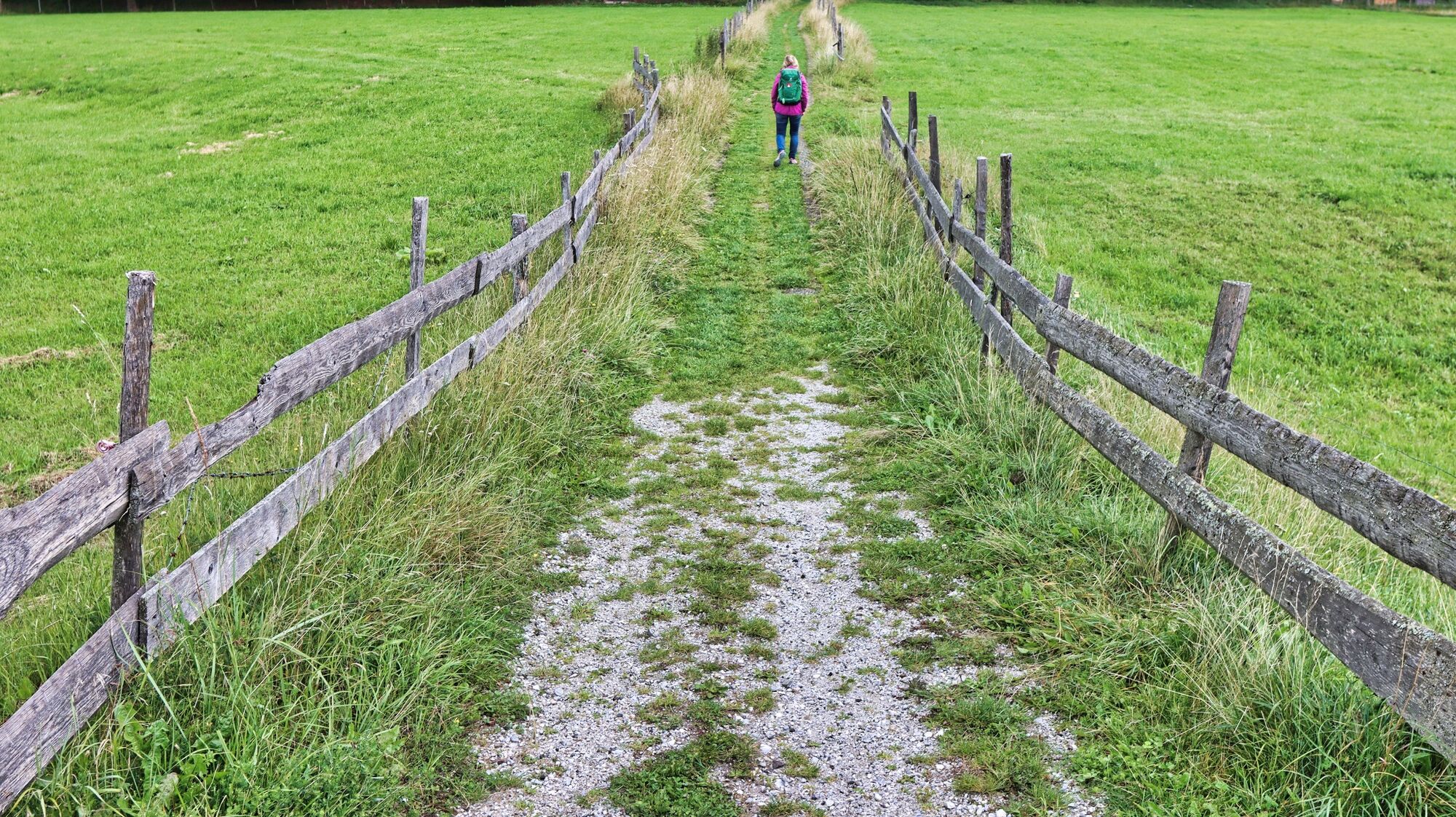
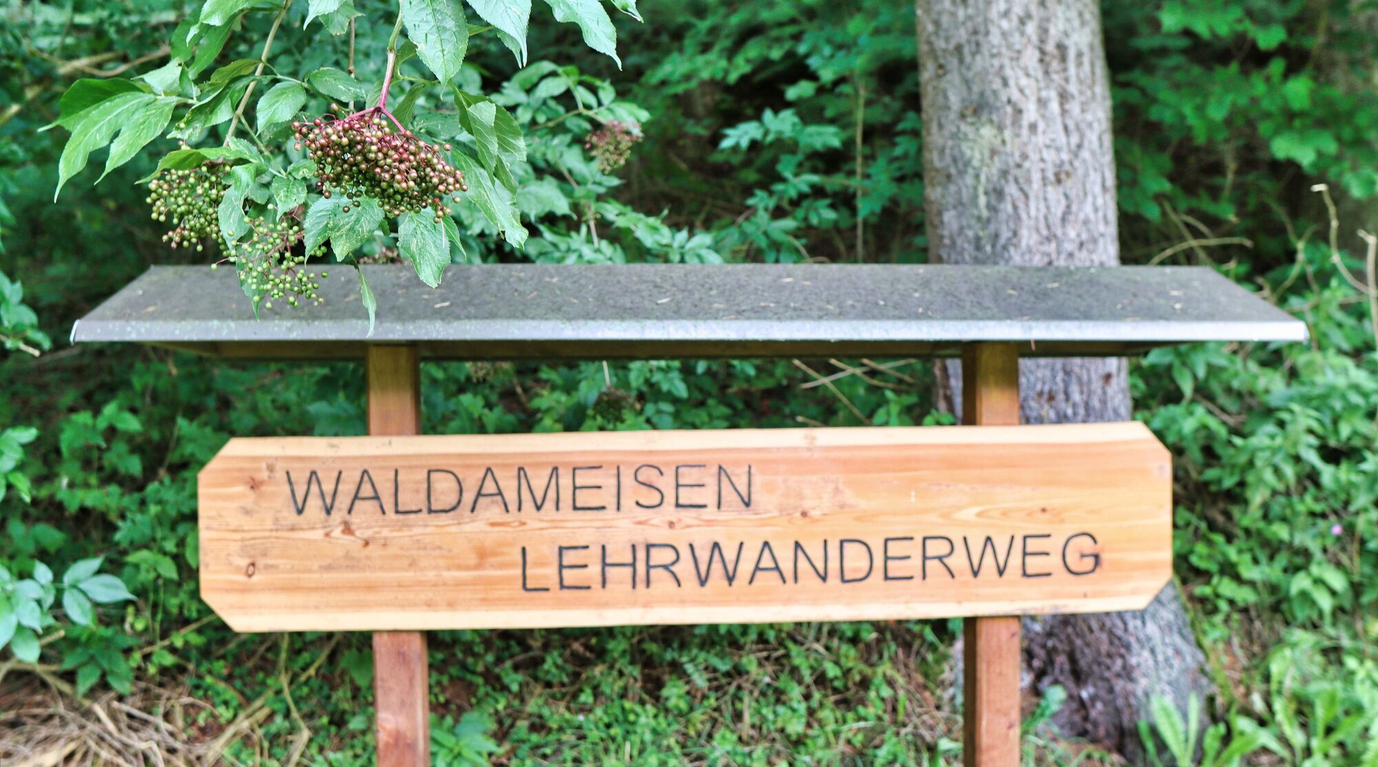
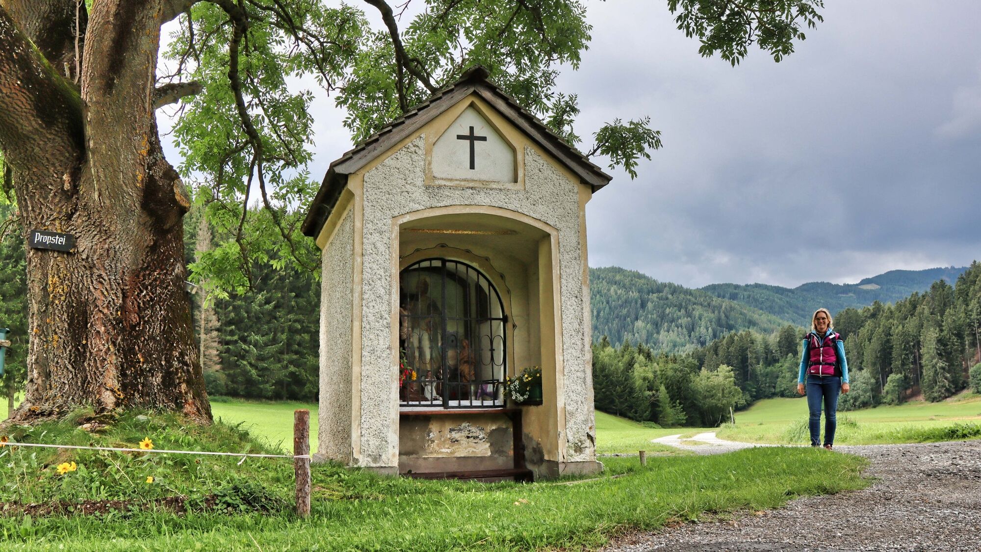
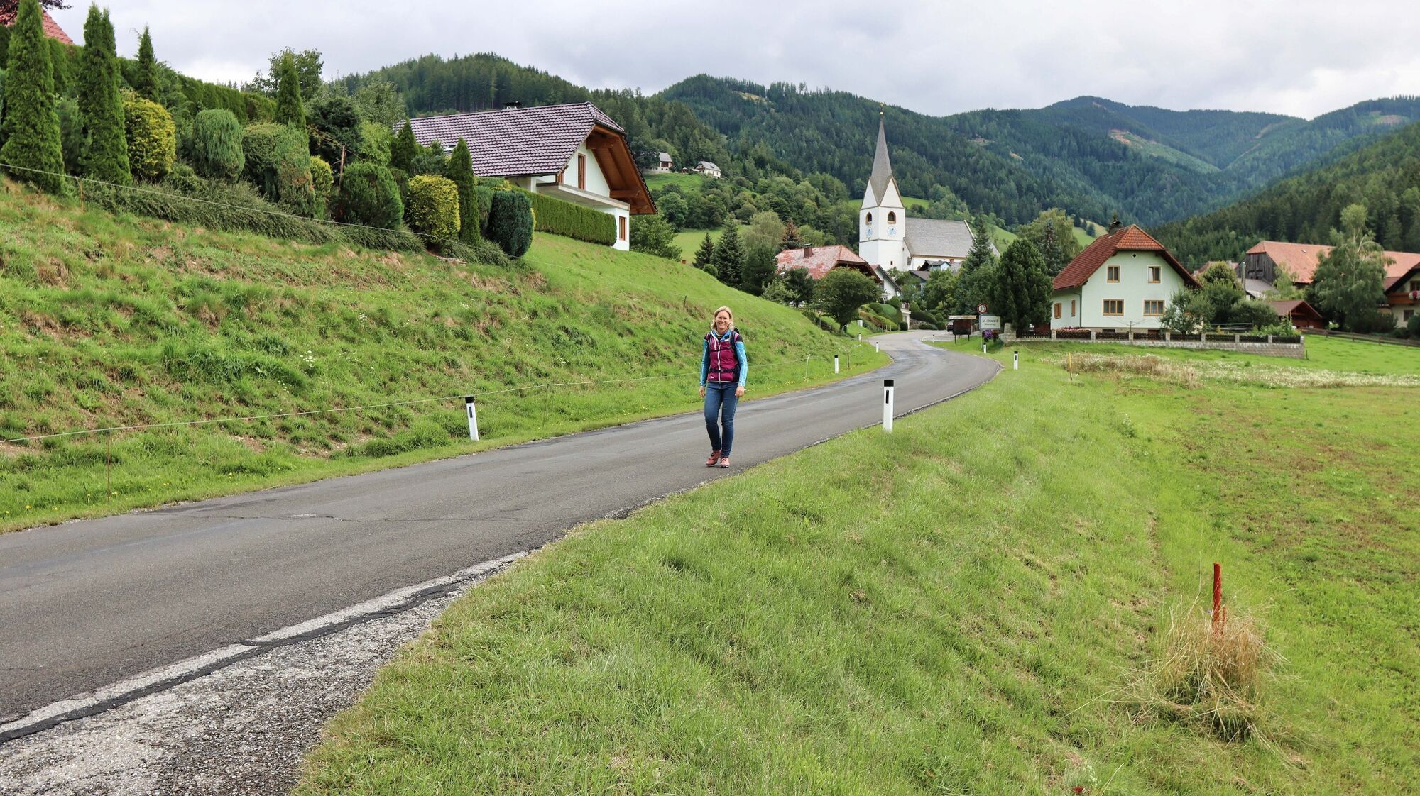
We start at the car park of the ADEG shop in Möderbrugg (1), 912 m. We cross the wooden bridge to the St. Oswald-Möderbrugg leisure and landscape pond complex. Passing the pond facilities, we walk downstream along the tarmac footpath. We cross the road and follow the footpath that runs right next to the Pöls until we reach the 24-hour Adelwöhrer farm shop. A look inside the shop is definitely recommended. The hiking trail continues to the right on the gravel road along the Pöls. Directly after the wooden bridge (2), 899 m, we branch off to the left and continue along the right bank. A clearly recognisable path takes us to a bench and then over a bridge to an educational forest ant trail. We walk along the edge of the forest past several anthills until we continue along the gravel road across the meadow and pasture area. The open areas offer a beautiful view of St. Oswald and the Seckauer Tauern towering behind it. At the chapel (3), 916 m, we reach the asphalt road, which we follow slightly uphill to the left until we reach the centre of St. Oswald (4), 982 m. We walk through the village, past the scenic benches and continue slightly downhill along the tarmac road. We stay on the road, pass the Pölzlhof farm and enjoy the view of this glacial landscape. Once we are back in the valley, we see the information board for the leisure and landscape pond complex on the right before the bridge and thus come to the path we already know. We walk leisurely past the pond and soon reach our starting point.
- Highest point
- 974 m
- Endpoint
-
Möderbrugg Adeg Markt
- Height profile
-

- Equipment
-
Backpack with rain cover
Telescopic / hiking poles
Mountain / hiking boots
Headgear / sunglasses
Water bottle / thermos flask (on cooler days a warming drink is pleasant) - Safety instructions
- Tips
-
If you prefer a longer hike, you should take a look at the "Circular hike from Mödernbrugg with a view of the Pölstal valley"
- Additional information
-
Refreshments and overnight accommodation:
Landhotel Timmerer, Tel.: +43 3571 22 24, 8763 Möderbrugg, Hauptstraße 53, www.landhotel-timmerer.at
Pölstalerhof, Tel.: +43 3571 2202, 8763 Möderbrugg, Im Dorf 7
Bakery-Confectionery-Cafe Brandl, Tel.: +43 3571 2331, 8763 Möderbrugg, Hauptstraße 11, www.baeckerei-brandl.at
Adelwöhrer - The farm shop, Tel.: +43 650 5006267 / +43 677 61400361
Gasthof Holzmann - Kirchenwirt, Tel.: +43 3571 2265, 8763 St.Oswald-Möderbrugg, St.Oswald 22, www.gasthof-holzmann.at
- Directions
-
From Judenburg via the B 114 in the direction of Hohentauern (19 km, approx. 20 minutes).
From Trieben an der Pyhrn motorway A 9 via the B114 towards Judenburg (28 km, approx. 30 minutes)
- Public transportation
- Parking
-
Several car parks available at the Adeg shop.
- Author
-
The tour Circular hike to St. Oswald is used by outdooractive.com provided.