


- Brief description
-
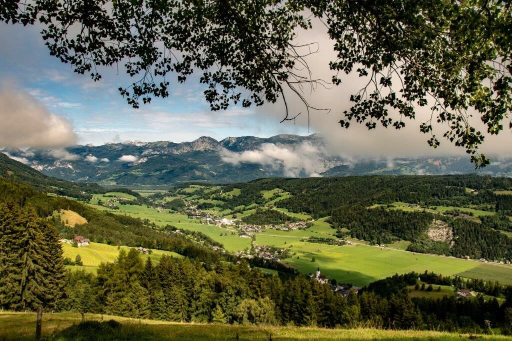
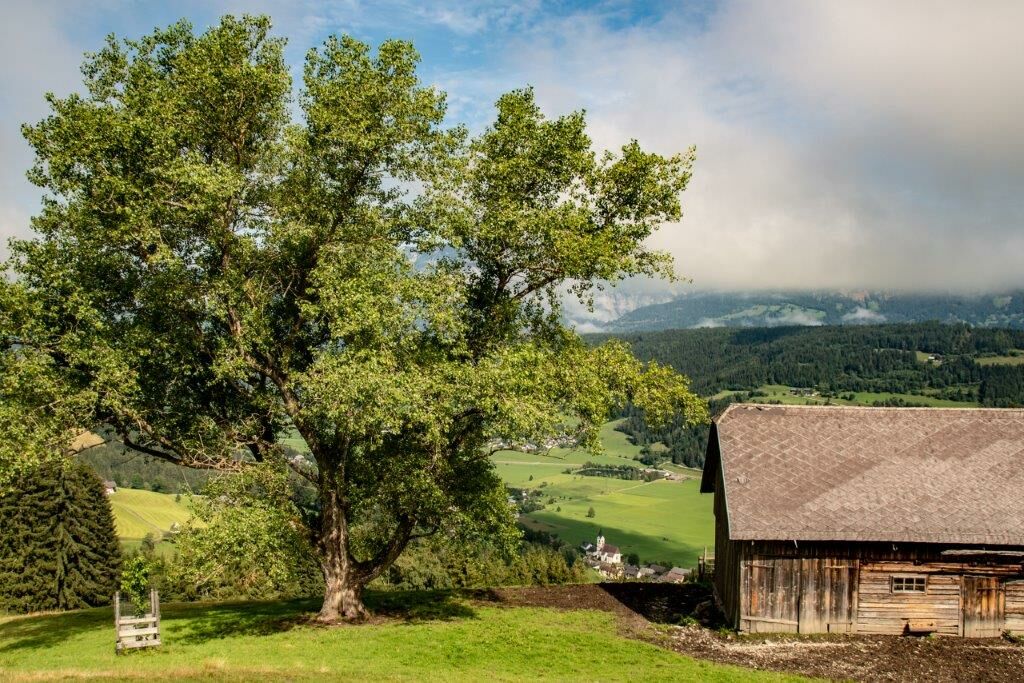
The high valley Lassing is nestled between the Styrian Enns Valley and the Paltental. The place invites in summer to beautiful hikes and mountain and bike tours.
Family-friendly easy hike mostly on forest trails with dreamlike peaks and beautiful views!
- Difficulty
-
medium
- Rating
-
- Starting point
-
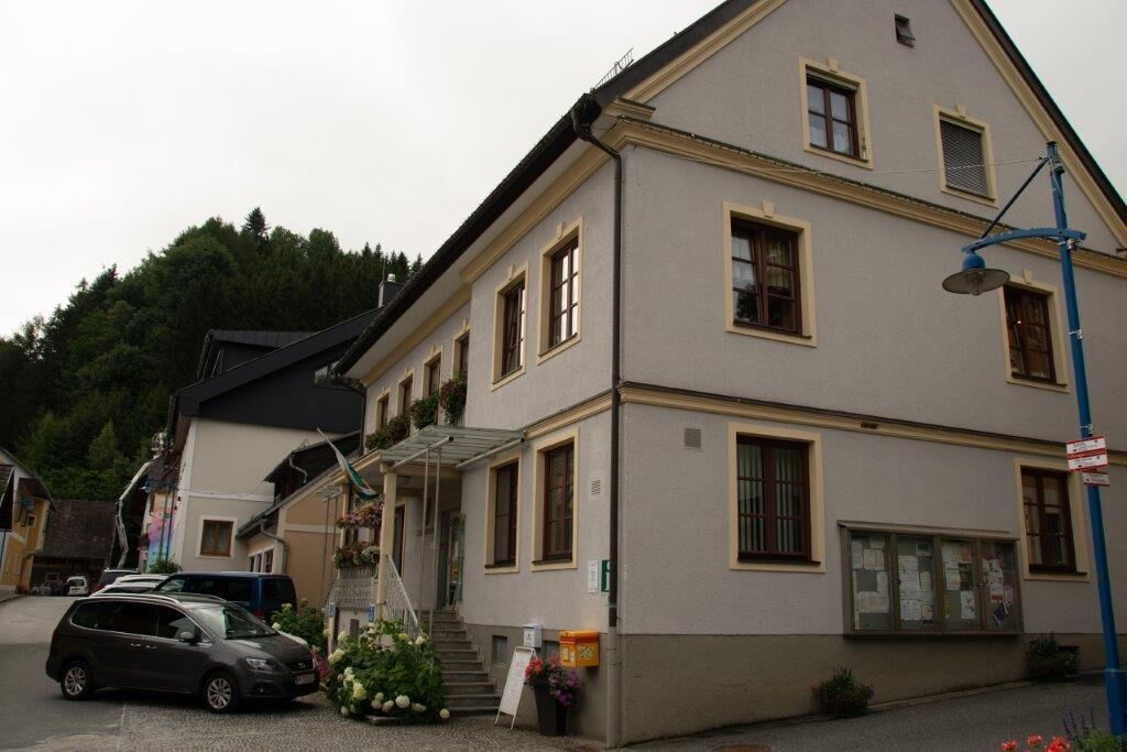
Gemeindeamt Lassing
- Route
-
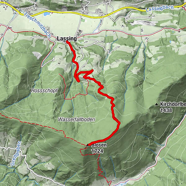
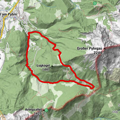
LassingSommerstall0.7 kmAsingeralm2.5 kmBlosen (1,724 m)5.7 kmAsingeralm9.1 kmSommerstall10.9 kmLassing11.6 km
- Best season
-
JanFebMarAprMayJunJulAugSepOctNovDec
- Description
-
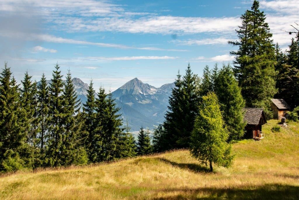
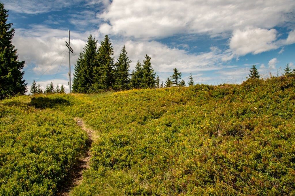
A rather inconspicuous and unknown peak in the Rottenmanner Tauern with amazing views. Wide ridge, forested almost up to the summit and selling parallel to the Enns Valley. Very nice view of the Grimming, Warscheneckstock and the Gesäuseberge.
- Directions
-
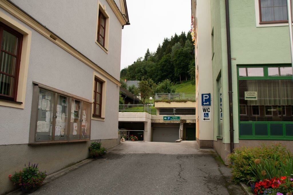
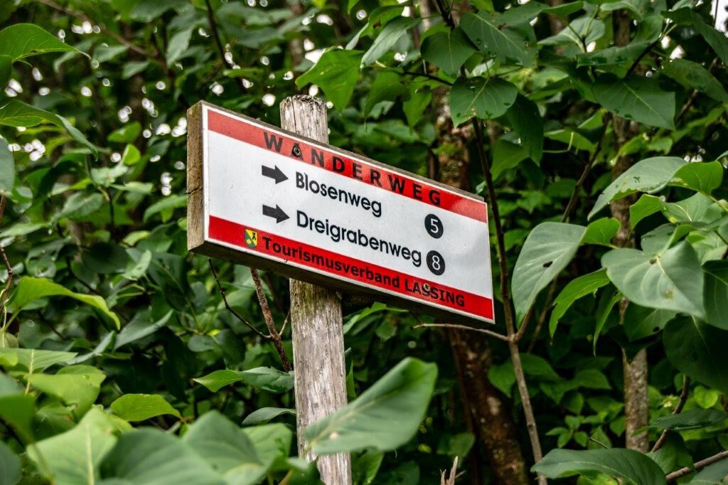
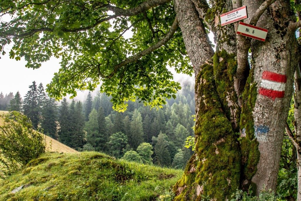
Our starting point is at the town square in Lassing where the signage with trail no. 5 (Blosenweg) is already very visible!
We always follow the No. 5, first a few meters past the municipal office and at the end right up the hill.
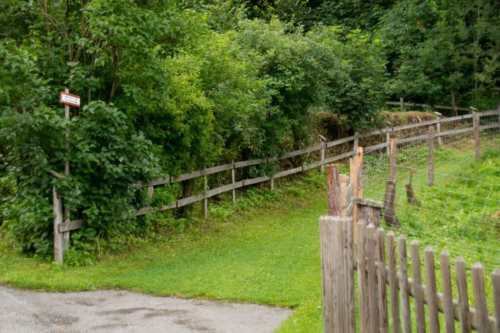
At the end of the settlement we leave the road on the right and always follow the signs.
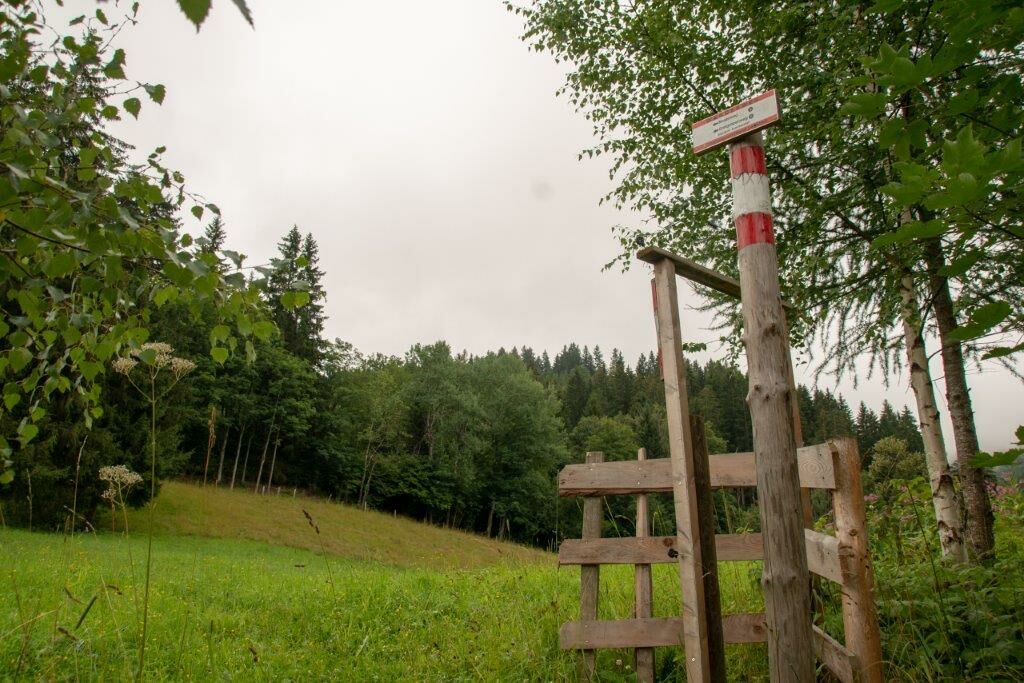
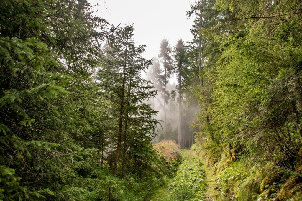
We walk mostly on beautiful forest paths and crossed often the forest road until we turn left to the Aslingalm.
The path takes us further to the Nocheralm which we also leave on the left and go straight up into the forest.
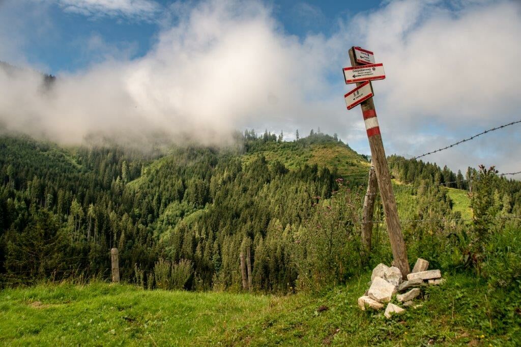
The last kilometer we follow the degree in a westerly direction to the summit!
Translated with www.DeepL.com/Translator (free version)
- Highest point
- 1,712 m
- Endpoint
-
Gemeindeamt Lassing
- Height profile
-

- Equipment
-
Sturdy mountain boots or good trekking shoes, as well as hiking backpack with appropriate contents (water bottle, first aid, hiking map, sun protection, snack, etc.). You should also be well prepared for a change of weather. Cell phone for emergency calls.
As little as possible, as much as necessary
- Safety instructions
-
Difficult but enduring hike. Also suitable for families!
Emergency call mountain rescue: 140
Tip for reporting an emergency - give answers to the six W-questions: What happened? How many injured? Where did the accident happen (possibly GPS coordinates)? Who is reporting (callback number)? When did the accident happen? Weather at the accident site?
- Tips
-
The Lassinger Badesee is a very popular destination for young and old. In the large children's area, two water slides, a water mushroom in the bathing lake and a sandbox are available free of charge.
For free use there is a beach volleyball court, table tennis and a climbing wall. Adjacent to the lake is a tennis court (for a fee).
The restaurant as well as a cocktail bar invite you to stay.
The lake restaurant is open all year round.
- Additional information
-
Gemeinde. Lassing
Dorfplatz 5 8903 Lassing
www.lassing.at
Büro Öffnungszeiten
Mo.Fr 8:00-12:00uhr
Stadtmarketing Liezen
Rathausplatz 1, 8940 Liezen
Tel.: +43(0) 3612-25 658
Mail.: office@stadtmarketing-liezen.at
Tourismusverband Gesäuse
Hauptstraße 35, 8911 Admont, Österreich
Tel. +43 (0) 3613 21160 10
Email: info@gesaeuse.at
www.gesaeuse.at
- Directions
-
Directions by car
From Vienna: >A2 direction Semmering >S6 direction Klagenfurt to Knoten St. Michael >A9 direction Salzburg ...From Graz: >A9 direction Salzburg ...From Linz: >A1 to Voralpenkreuz >A9 direction Graz ...
From Munich: > A8 Munich-Salzburg > A1 direction Linz to Voralpenkreuz > A9 direction Graz ...From Nuremberg-Passau: > A3 Nuremberg-Passau state border > A8 direction Graz to Voralpenkreuz > A9 direction Graz ...
... in each case until freeway exit Liezen
This leads after the traffic circle in Liezen into the B320 Ennstal Bundesstraße direction Schladming!
At the 2 crossroads before the shopping center turn left towards Lassing.
In Lassing turn right in the direction of the municipal office and the church and the public parking lot.
- Public transportation
-
www.oebb.at
www.busbahnbim.at
- Parking
-
Free public parking behind the municipal office!


-

-
AuthorThe tour Blosen / Lassing is used by outdooractive.com provided.


General info
-
Gesäuse
2225
-
Grimming - Donnersbachtal
976
-
Lassing
220

")


