- Brief description
-
The "big sister" around Falkenstein for all hikers in good shape.
- Difficulty
-
difficult
- Rating
-
- Route
-
MosbacherStadlhof4.6 kmFalkenstein11.4 km
- Best season
-
JanFebMarAprMayJunJulAugSepOctNovDec
- Description
-
A hike with a few metres of altitude to climb and rewarded with scenic spots.
- Directions
-
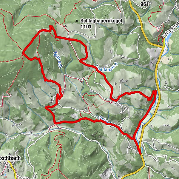
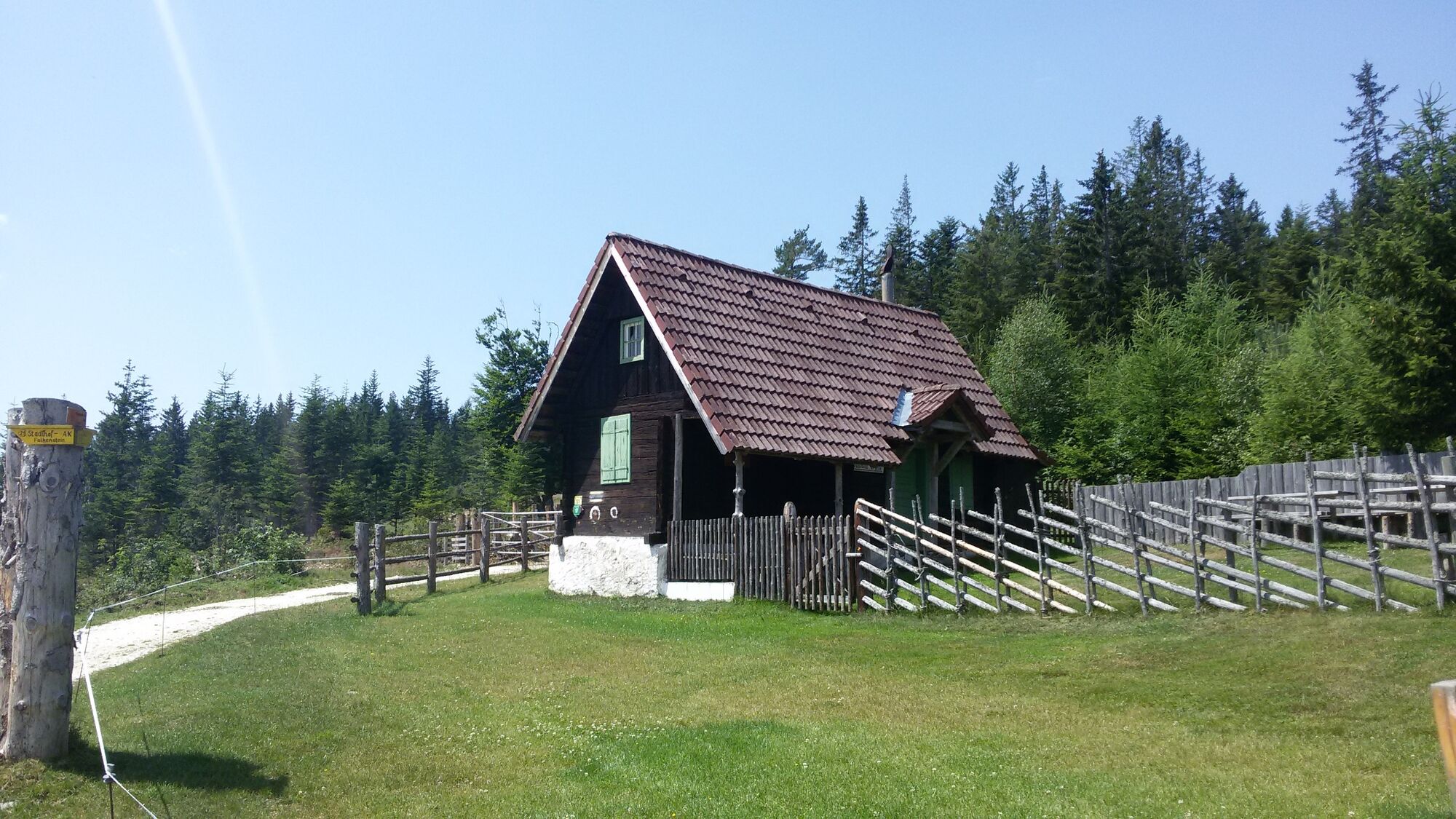
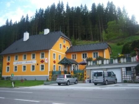
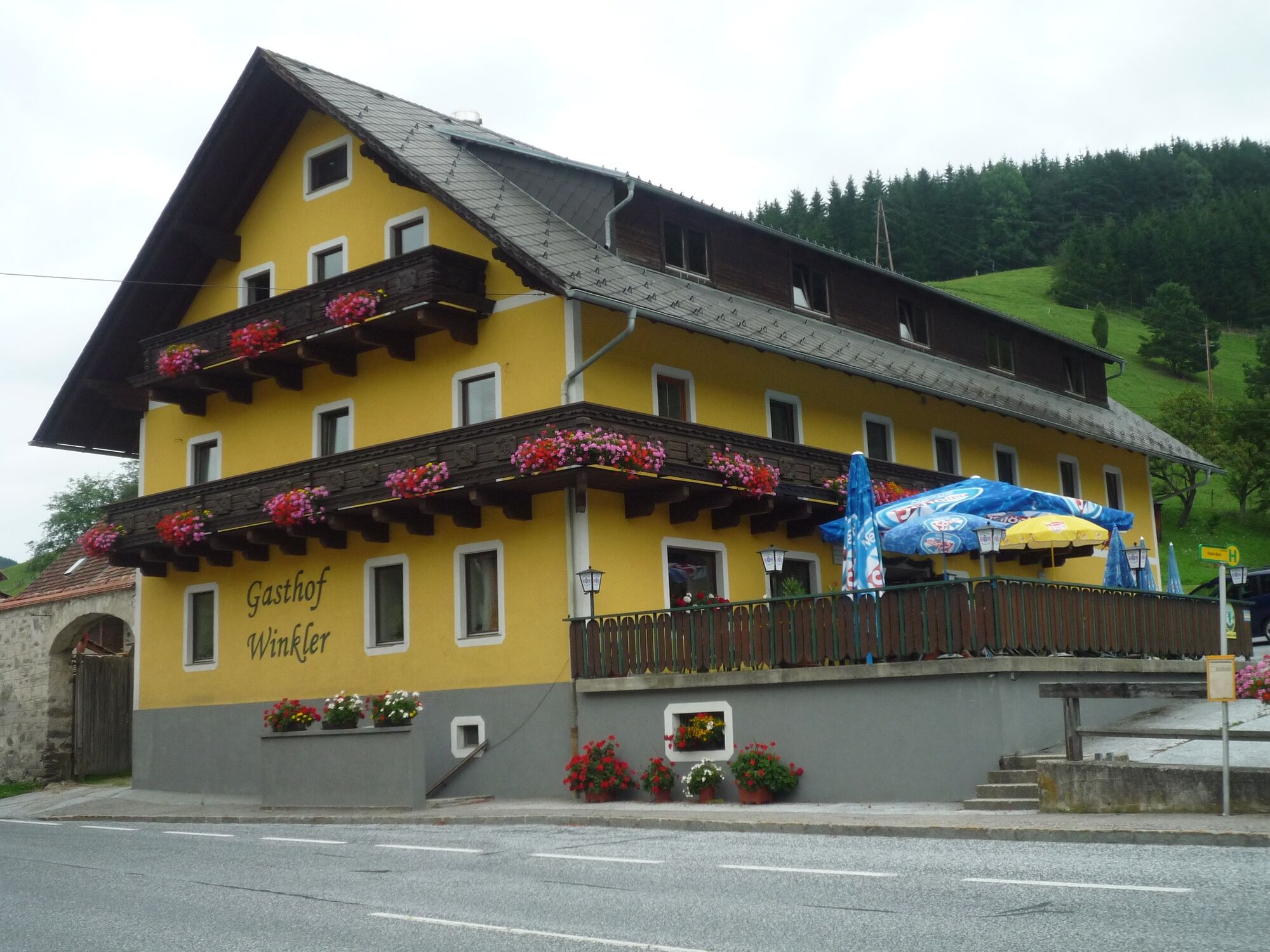
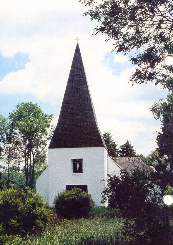
We begin our hike at the Gasthof Radlstation Mosbacher and hike a short distance along the R8 cycle path until we continue to hike left along the road after the car dealership. we briefly come to marker no. 24, which we follow level along the Sulzbach stream until we continue to hike left along path no. 25 at the beginning of the forest via the Hauswirtshofer Höh to the Hauswirtshofer estate. From there, we continue to walk uphill on the asphalt road to the small hamlet of Stadlhof. We follow trail no. 21 through picturesque farmsteads to the Schneidhofer Kreuz cross. This is the most strenuous section of this tour. From the Schneidhofer Kreuz and the "Schreier" stream, which is large for this altitude, we continue to the Waldtonialm and there we take a break and fortify ourselves in the Edelweißhütte. We continue along trail no. 21 until we reach the road at Schlagbauer. There we extend our tour and follow trail no. 22 around the Edenbauerkogel. We rejoin trail no. 21 to it past some wooden houses until we finally arrive at the small village of Falkenstein through a short stretch through the forest. We can take a look at the small pilgrimage church Maria Heimsuchung (Visitation), before we continue to hike left along the lower trail no. 23 until we come out at the cycle path R8. We hike right along the cycle path until we arrive back at our starting point, the Mosbacher inn.
- Highest point
- 1,224 m
- Endpoint
-
Gasthof Mosbacher
- Height profile
-

- Equipment
-
Small backpack with water bottle (+ provisions)
Sturdy shoes
Appropriate clothing - if possible several layers - "onion principle".
Rain and sun protectionWalking sticks as required
Mobile phone
Small first aid kit
Route description
Before starting the hike, check the possibilities for refreshments, including opening times, or pack appropriate food and drink.
- Safety instructions
-
European emergency call: 112
Emergency call mountain rescue: 140 (if possible please provide GPS data)
Rescue: 144
Fire brigade: 122
Police: 133
A few tips on correct and fair behaviour in the forest: (Source: www.bundesforste.at )
Hikers should avoid visits to the forest about 1.5 hours before sunrise and after sunset, as wild animals are particularly active during this time.
Plastic bottles, handkerchiefs, cigarette butts etc. have no place in the forest! Please make sure that you do not leave any rubbish in the forest.
Camping and lighting fires are strictly forbidden in the forest!
In principle, every person is allowed to pick 2 kg of mushrooms and berries per day for personal use. It is only prohibited if the forest owner expressly forbids it.
- Tips
-
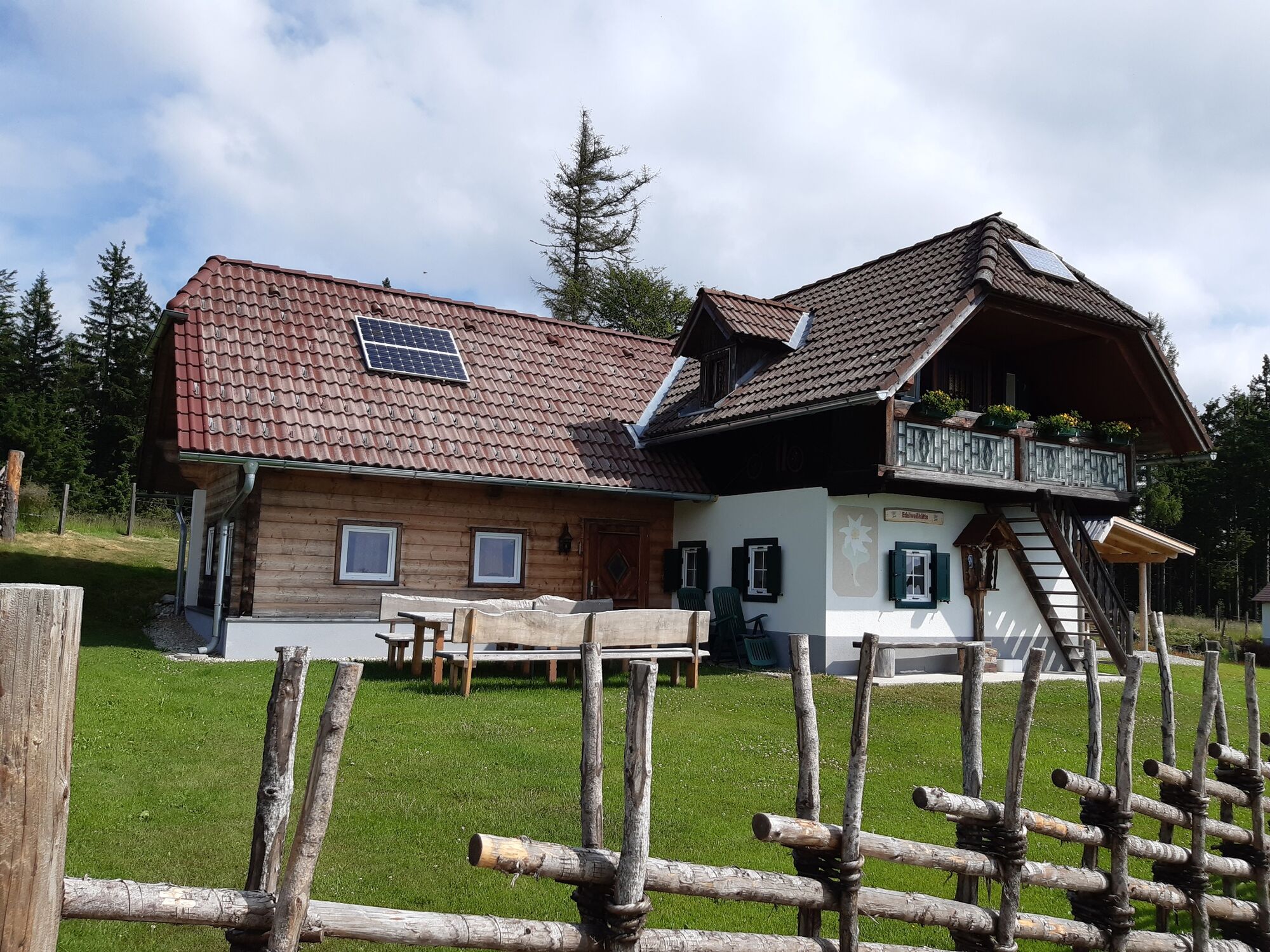
Stop for refreshments at the Edelweißhütte on the Waldtonialm! (Note opening hours)
- Additional information
-
You can find information about the region, places to stop and stay overnight, excursion destinations, etc. here:
Eastern Styria Tourism Association
Joglland-Waldheimat office
8255 St. Jakob im Walde
Tel.: 03336/20255
info@joglland.at
www.joglland-waldheimat.at
Eastern Styria
current weather
Mobility Eastern Styria with shared taxi SAM
- Arrival
-
From Vienna via the A2 southern motorway and the S6 Semmering motorway to the Krieglach/Alpl exit. From there in the direction of Birkfeld on the B 72.
From Graz via the Weizer-Bundesstraße B72 in the direction of Ratten, located directly on the B 72.
From Linz/Salzburg/Munich via the A9 Pyhrn motorway and the S6 Semmering motorway to the Krieglach/Alpl exit. Continue as above.
- Public transportation
-
Timetables and travel information can be found at Österreichische Bundesbahnen (ÖBB) or at Verkehrsauskunft Verbundlinie. For local transportation we recommend the SAM-Sammeltaxi Oststeiermark.
- Parking

- Author
-
The tour Around Falkenstein is used by outdooractive.com provided.


General info
-
Hochsteiermark
4072
-
Joglland - Waldheimat
1511
-
St. Kathrein am Hauenstein
328