- Brief description
-
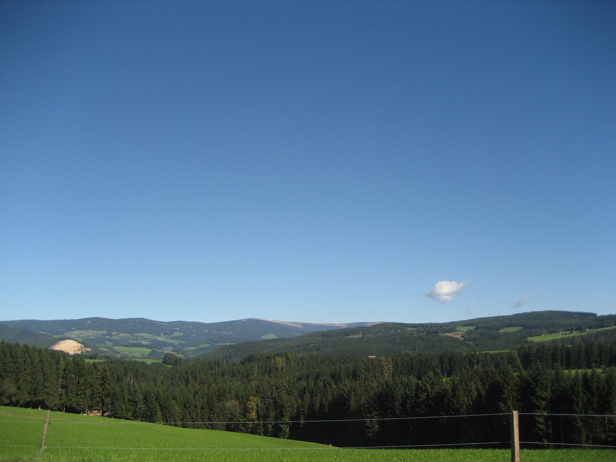
This part of the panoramic hike towards Vorau is really something for connoisseurs.
- Difficulty
-
medium
- Rating
-
- Starting point
-
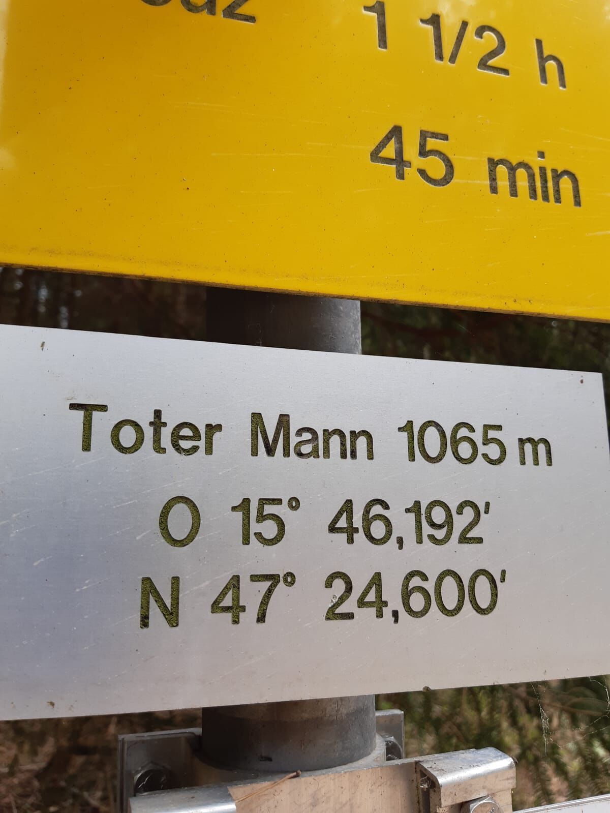
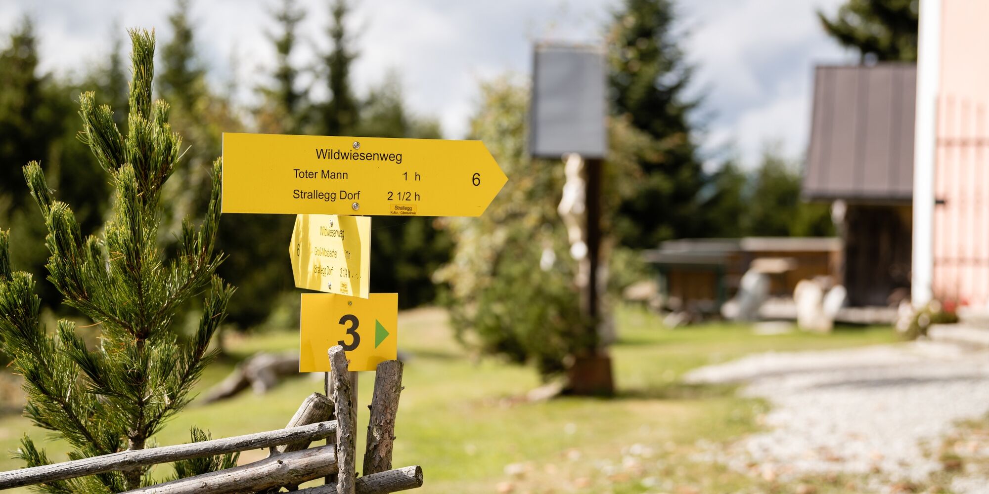
Dead Man
- Route
-
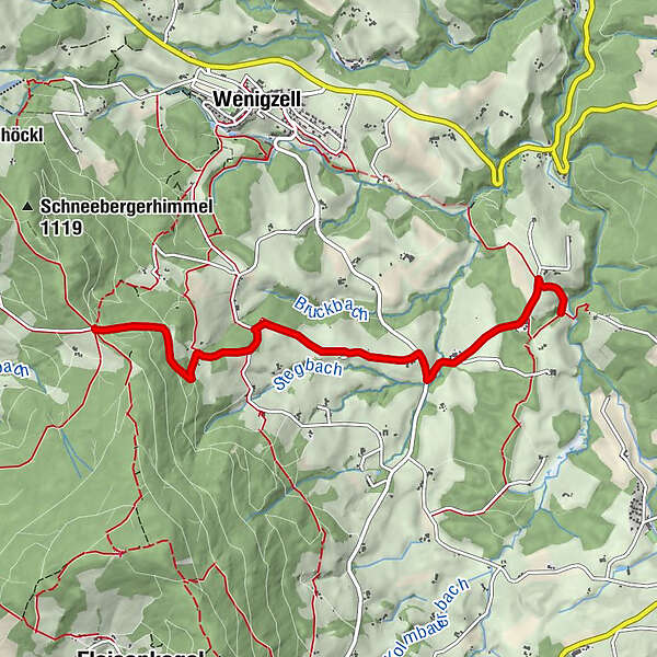
Lafnitzegg4.8 km
- Best season
-
JanFebMarAprMayJunJulAugSepOctNovDec
- Description
-
This stage of this hiking trail leads past the Bergler Stub'n refreshment stop. From the starting point you could also hike to the Wildwiesenaussichtswarte.
- Directions
-
From the Toten Mann we hike via the Landesstraße junction, Faustenbauer and the Hofer joinery to Lafnitzegg. The trail then leads us on to Vorau.
- Highest point
- 1,064 m
- Endpoint
-
Lafnitzegg
- Height profile
-

- Equipment
-
Small backpack with water bottle (+ provisions)
Sturdy shoes
Appropriate clothing - if possible several layers - "onion principle".
Rain and sun protectionWalking sticks as required
Mobile phone
Small first aid kit
Route description
Before starting the hike, check the possibilities for refreshments, including opening times, or pack appropriate food and drink.
- Safety instructions
-
European emergency call: 112
Emergency call mountain rescue: 140 (if possible please provide GPS data)
Rescue: 144
Fire brigade: 122
Police: 133
A few tips on correct and fair behaviour in the forest: (Source: www.bundesforste.at )
Hikers should avoid visits to the forest about 1.5 hours before sunrise and after sunset, as wild animals are particularly active during this time.
Plastic bottles, handkerchiefs, cigarette butts etc. have no place in the forest! Please make sure that you do not leave any rubbish in the forest.
Camping and lighting fires are strictly forbidden in the forest!
In principle, every person is allowed to pick 2 kg of mushrooms and berries per day for personal use. It is only prohibited if the forest owner expressly forbids it.
- Tips
-
Very close to the trail you will find basket weaver and cot maker Josef Pillhofer. His workshop is definitely worth a visit.
- Additional information
-
You can find information about the region, places to stop and stay overnight, excursion destinations, etc. here:
Eastern Styria Tourism Association
Joglland-Waldheimat office
8255 St. Jakob im Walde
Tel.: 03336/20255
info@joglland.at
www.joglland-waldheimat.at
Eastern Styria
current weather
Mobility Eastern Styria with shared taxi SAM
- Directions
- Public transportation
-
Timetables and travel information can be found at Österreichische Bundesbahnen (ÖBB) or at Verkehrsauskunft Verbundlinie. For local transportation we recommend the SAM-Sammeltaxi Oststeiermark.
- Parking
-
Parking possible throughout Wenigzell
- Author
-
The tour Wenigzell Hiking Trail No. 919: Dead Man - Lafnitzegg is used by outdooractive.com provided.


General info
-
Hochsteiermark
4082
-
Joglland - Waldheimat
1513
-
Wenigzell
291