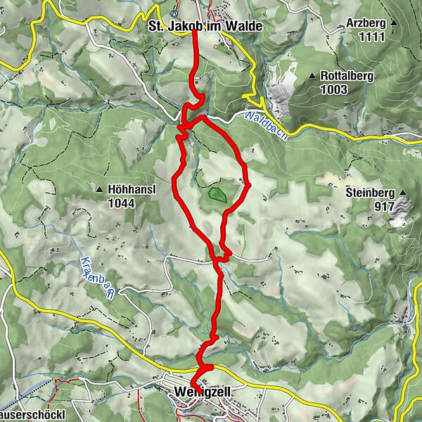
Wenigzell circular hiking trail - St. Jakob im Walde village boundary - Wenigzell, No. 7


- Brief description
-
The interesting circular hike runs along part of the power trail.
- Difficulty
-
medium
- Rating
-
- Starting point
-
Village square Wenigzell
- Route
-
WenigzellGasthaus KristoferitschGH Lueger5.7 kmSt. Jakob im Walde5.7 kmGasthaus Kristoferitsch11.9 kmWenigzell12.0 km
- Best season
-
JanFebMarAprMayJunJulAugSepOctNovDec
- Description
-
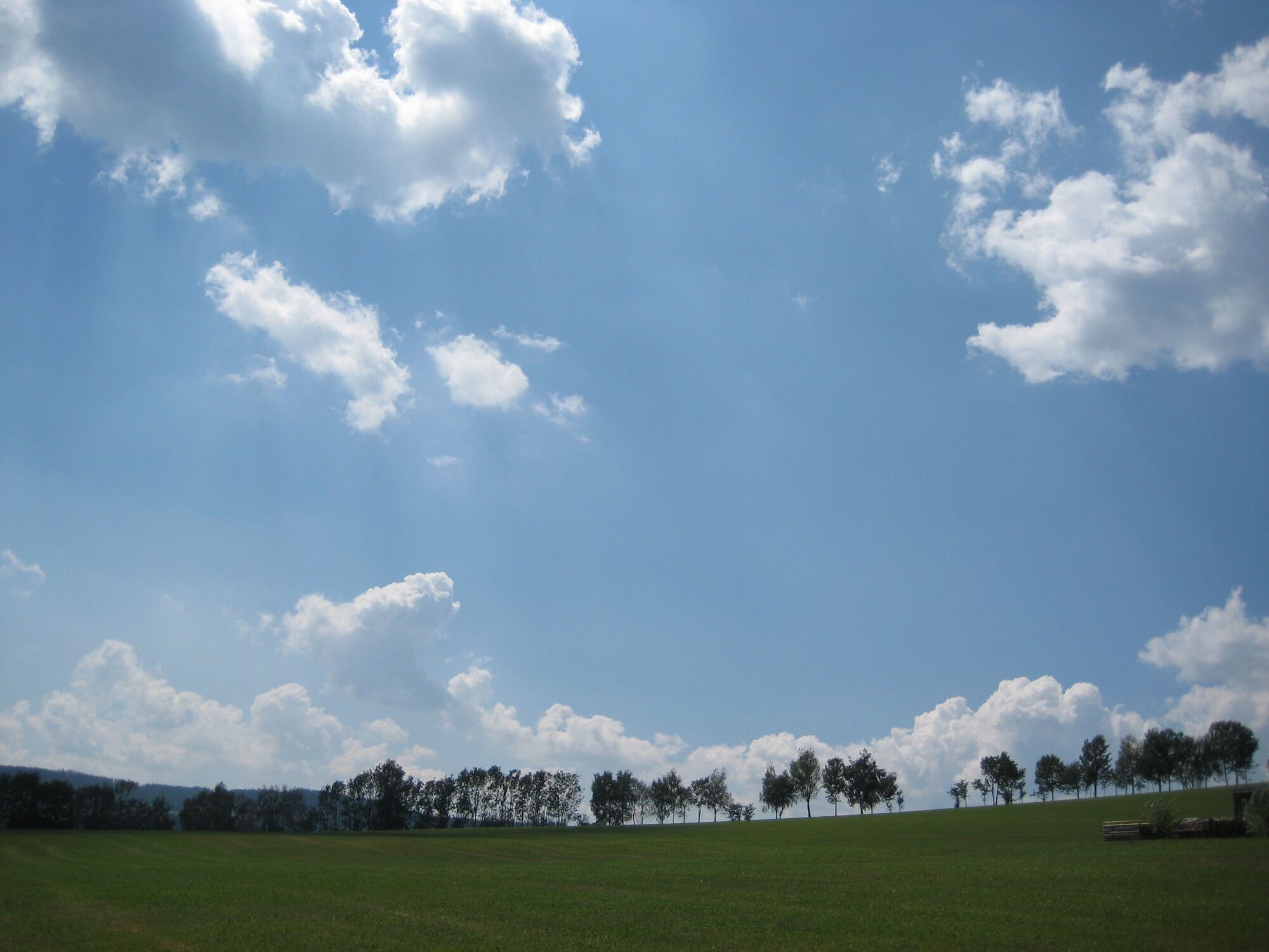
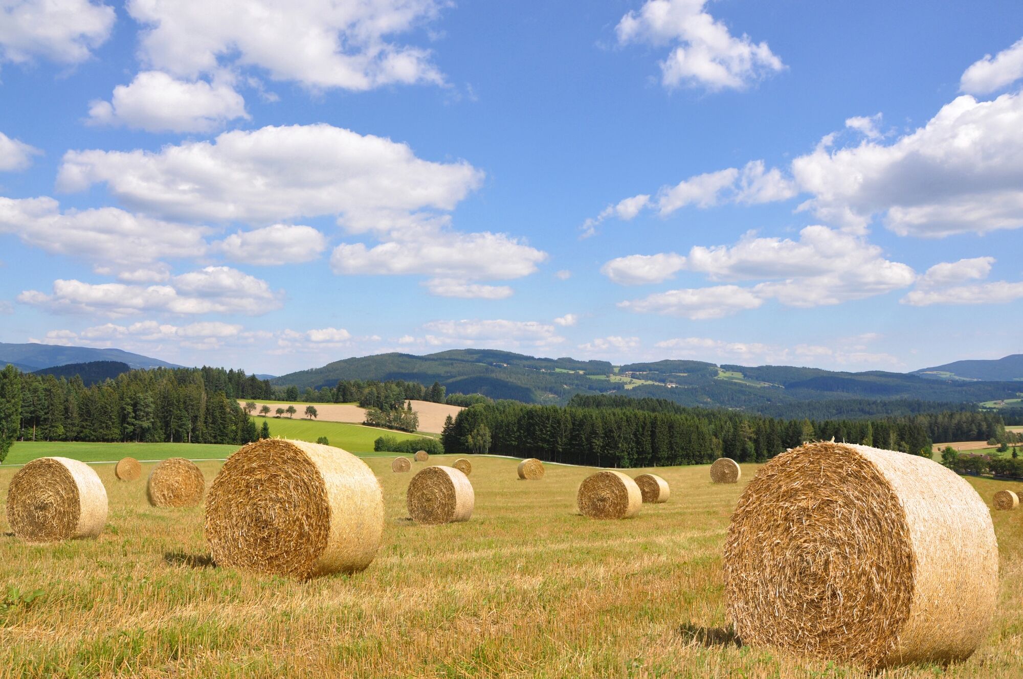
On the beautiful hiking trail you hike along the forest to the village border of St. Jakob im Walde. There are refreshment stops in the village.
- Directions
-
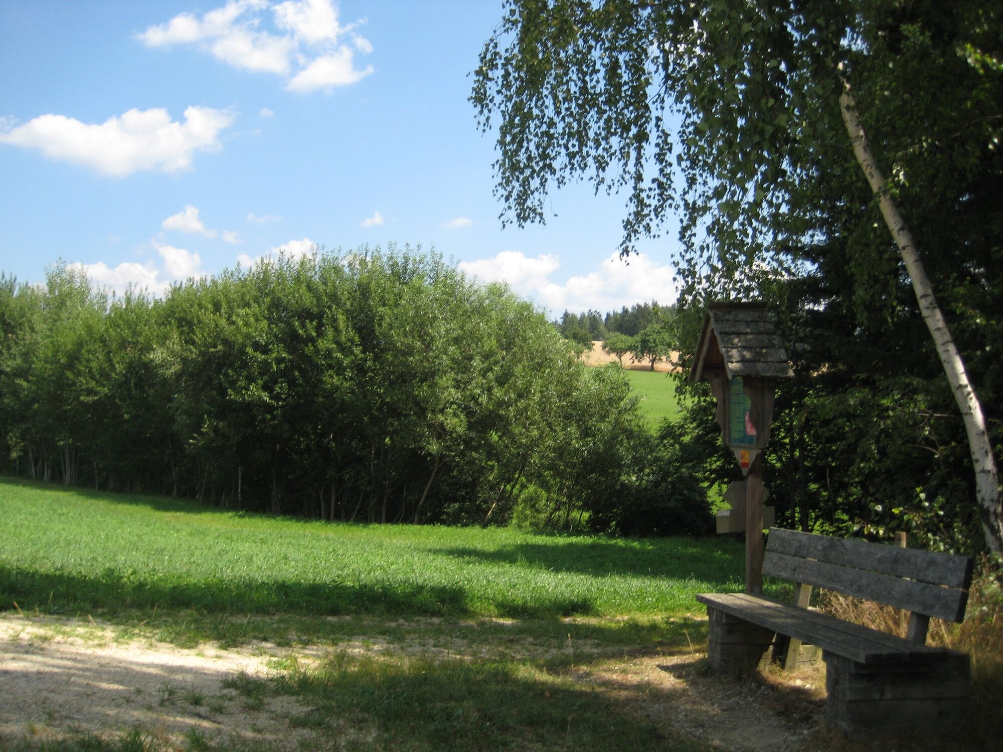
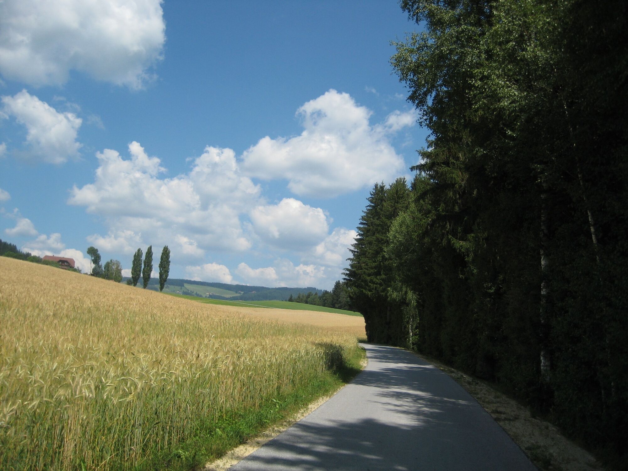
From the village square in Wenigzell we hike via Tarbauer, Rain and Winkl to the village border of St. Jakob im Walde and from here via Dorn, the Sommersguter Hochmoor, Pöll and Tarbauer back to the village square in Wenigzell.
- Highest point
- 924 m
- Endpoint
-
Village square Wenigzell
- Height profile
-

- Equipment
-
Small backpack with water bottle (+ provisions)
Sturdy shoes
Appropriate clothing - if possible several layers - "onion principle".
Rain and sun protectionWalking sticks as required
Mobile phone
Small first aid kit
Route description
Before starting the hike, check the possibilities for refreshments, including opening times, or pack appropriate food and drink.
- Safety instructions
-
European emergency call: 112
Emergency call mountain rescue: 140 (if possible please provide GPS data)
Rescue: 144
Fire brigade: 122
Police: 133
A few tips on correct and fair behaviour in the forest: (Source: www.bundesforste.at )
Hikers should avoid visits to the forest about 1.5 hours before sunrise and after sunset, as wild animals are particularly active during this time.
Plastic bottles, handkerchiefs, cigarette butts etc. have no place in the forest! Please make sure that you do not leave any rubbish in the forest.
Camping and lighting fires are strictly forbidden in the forest!
In principle, every person is allowed to pick 2 kg of mushrooms and berries per day for personal use. It is only prohibited if the forest owner expressly forbids it.
- Tips
-
Visit the sea buckthorn gardens, but you can also follow the power trail further to St. Jakob im Walde.
- Additional information
-
You can find information about the region, places to stop and stay overnight, excursion destinations, etc. here:
Eastern Styria Tourism Association
Joglland-Waldheimat office
8255 St. Jakob im Walde
Tel.: 03336/20255
info@joglland.at
www.joglland-waldheimat.at
Eastern Styria
current weather
Mobility Eastern Styria with shared taxi SAM
- Arrival
- Public transportation
-
Timetables and travel information can be found at Österreichische Bundesbahnen (ÖBB) or at Verkehrsauskunft Verbundlinie. For local transportation we recommend the SAM-Sammeltaxi Oststeiermark.
- Parking

-

-
AuthorThe tour Wenigzell circular hiking trail - St. Jakob im Walde village boundary - Wenigzell, No. 7 is used by outdooractive.com provided.


General info
-
Hochsteiermark
4072
-
Joglland - Waldheimat
1511
-
Wenigzell
290