- Brief description
-
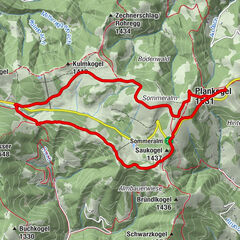
The scenic hiking trail also leads to the Wildwiesen lookout, among other places.
- Difficulty
-
difficult
- Rating
-
- Starting point
-
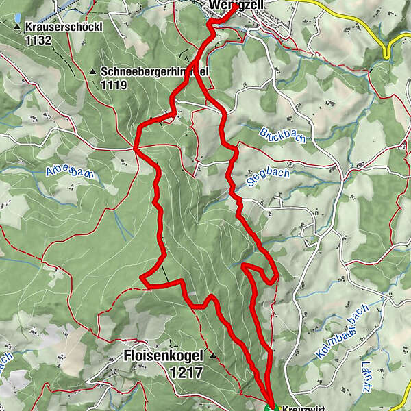
Village square Wenigzell
- Route
-
Gasthaus KristoferitschWenigzell0.0 kmJoglland Hotel Prettenhofer0.2 kmWildwiesenwarte9.5 kmWildwiesenhütte9.6 kmJoglland Hotel Prettenhofer14.3 kmWenigzell14.4 kmGasthaus Kristoferitsch14.5 km
- Best season
-
JanFebMarAprMayJunJulAugSepOctNovDec
- Description
-
On the varied circular hiking trail you also come to the village borders of Miesenbach and Strallegg. The Wildwiesen lookout tower is located on the border triangle of Wenigzell - Strallegg - Miesenbach. There are refreshment stops in Wenigzell and in the Wildwiesenhütte.
- Directions
-
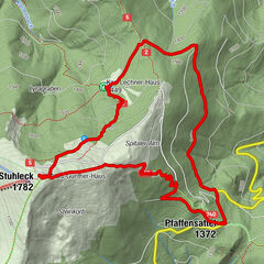
We start at the village square and head down to the local history museum. Up to the "Brunnschneider" and on to "In Reith" and the "Stockbauer". There we leave the asphalt road and hike up along beautiful forest paths to the Kreuzwirt. Now we follow the Roman road and branch off to the left. We follow beautiful hiking trails to the Wildwiese at 1256 metres. At the lookout tower we enjoy the wonderful view and, in the best conditions, we can even see as far as Hungary. After a little refreshment in the Wildwiesenhütte (which we have really earned), we continue our hike. Down to the "Toten Mann", through the "Walddörfl" and we are already back at the Brunnschneider, where we have a wonderful view of Wenigzell. Past the local history museum we reach the village square again.
- Highest point
- 1,252 m
- Endpoint
-
Village square Wenigzell
- Height profile
-

- Equipment
-
Small rucksack with water bottle (+ provisions)
Sturdy shoes
Appropriate clothing - if possible several layers - "onion principle".
Rain and sun protectionWalking sticks as required
Mobile phone
Small first aid kit
Route description
Before starting the hike, check the possibilities for refreshments, including opening times, or pack appropriate food and drink.
- Safety instructions
-
European emergency call: 112
Emergency call mountain rescue: 140 (if possible please provide GPS data)
Rescue: 144
Fire brigade: 122
Police: 133
A few tips on correct and fair behaviour in the forest: (Source: www.bundesforste.at )
Hikers should avoid visits to the forest about 1.5 hours before sunrise and after sunset, as wild animals are particularly active during this time.
Plastic bottles, handkerchiefs, cigarette butts etc. have no place in the forest! Please make sure that you do not leave any rubbish in the forest.
Camping and lighting fires are strictly forbidden in the forest!
In principle, every person is allowed to pick 2 kg of mushrooms and berries per day for personal use. It is only prohibited if the forest owner expressly forbids it.
- Tips
-
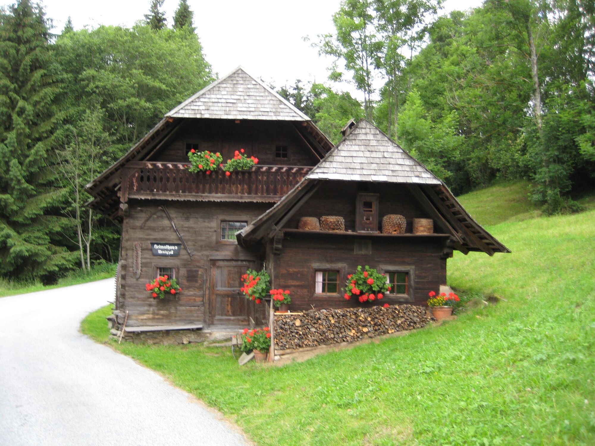
Cot maker Pillhofer, lookout post on the wild meadow
- Directions
-
From Vienna: via the A2, exit Pinggau - Friedberg, Rohrbach an der Lafnitz, Mönichwald, Waldbach, Wenigzell.
From Graz: via the A2, exit Gleisdorf, Kaindorf, Pöllau bei Hartberg, Schloffereck, direction Vorau, left after the Kreuzwirt to Wenigzell.
- Parking
-
Parking possible throughout Wenigzell, best at the old armoury or at the cemetery


-

-
AuthorThe tour Wenigzell - Wildwiese - Kreuzwirt, trail no. 3 is used by outdooractive.com provided.


General info
-
Hochsteiermark
4083
-
Joglland - Waldheimat
1513
-
Wenigzell
291