- Brief description
- Difficulty
-
medium
- Rating
-
- Starting point
-
Gasthaus Hiaslegg, 1154m (signposted access)
- Route
-
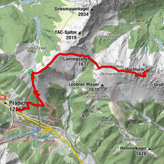
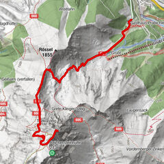
Gasthaus zum Hiaslegg0.0 kmHiaslegg (1,154 m)0.0 kmThalerkogel (1,656 m)4.0 kmAchnertörl (1,409 m)5.0 kmHiaslegg (1,154 m)8.0 kmGasthaus zum Hiaslegg8.1 km
- Best season
-
JanFebMarAprMayJunJulAugSepOctNovDec
- Description
-
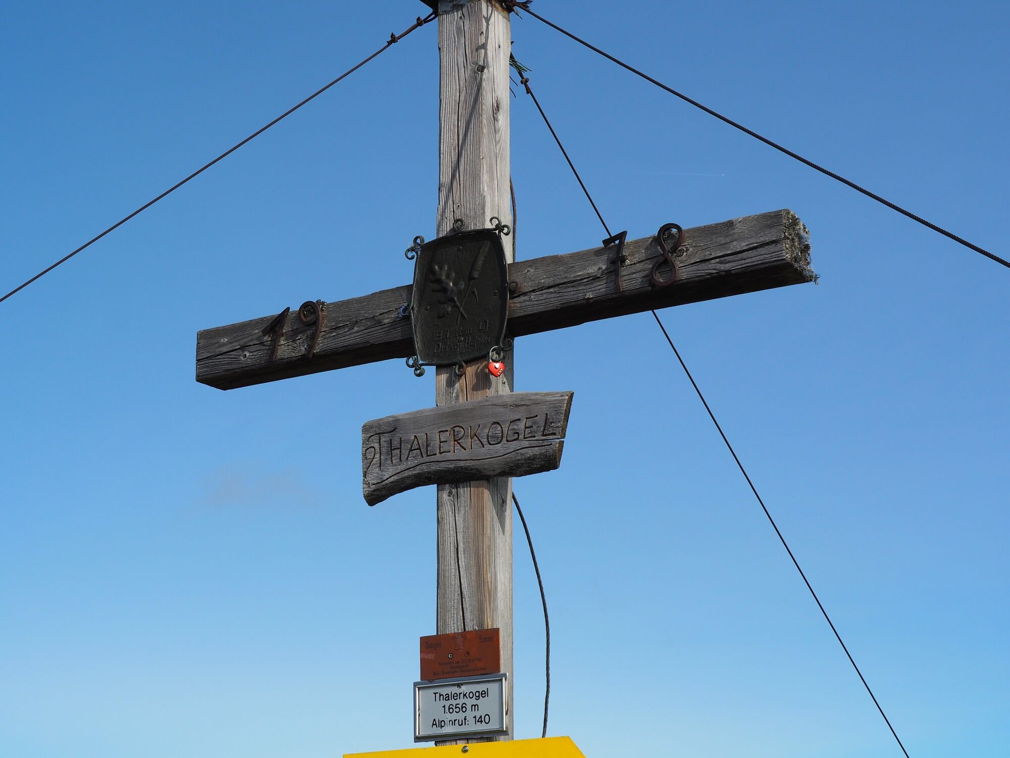
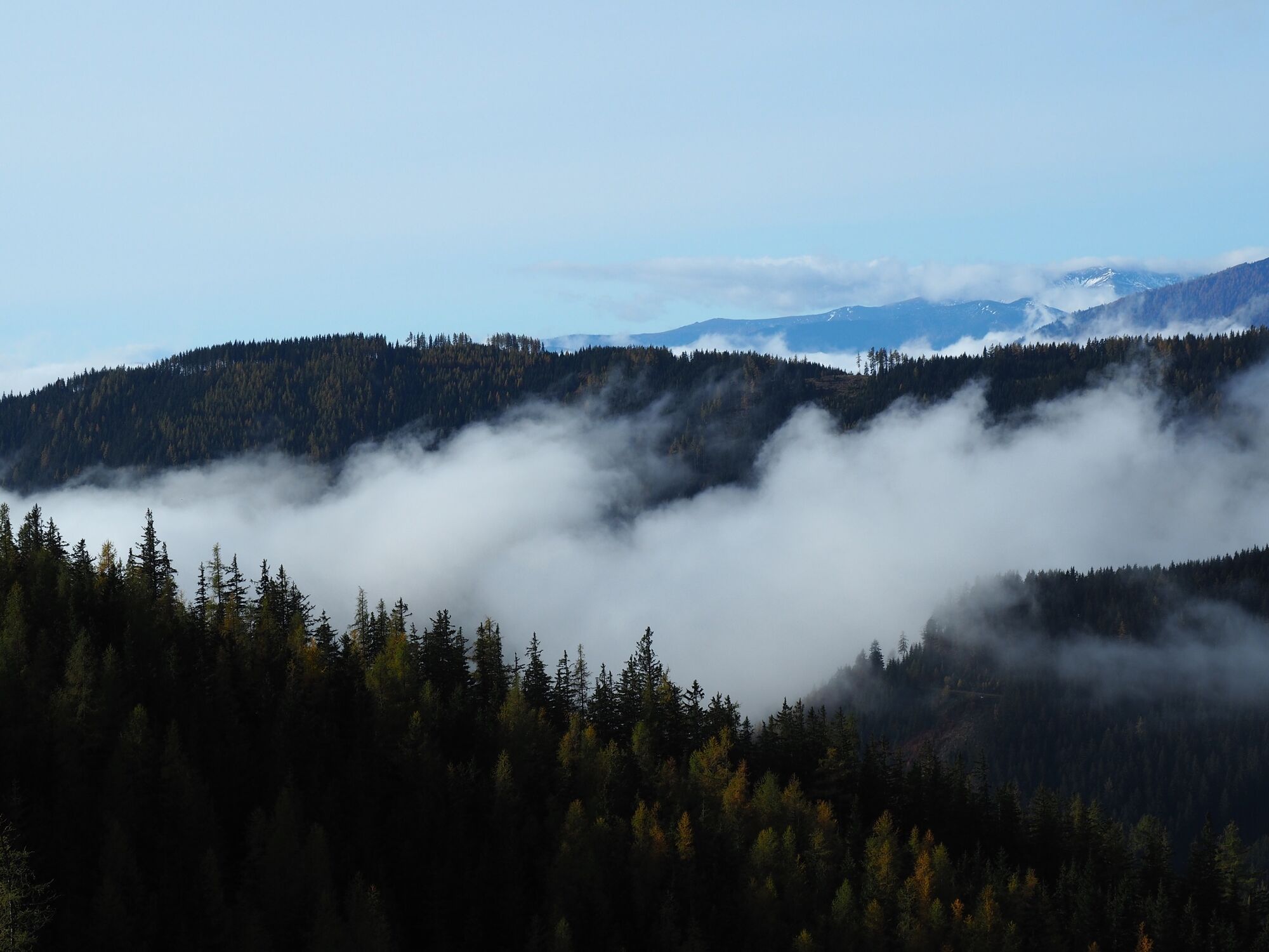
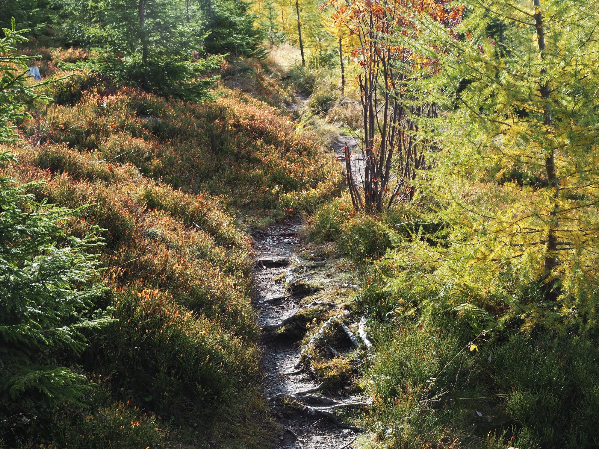
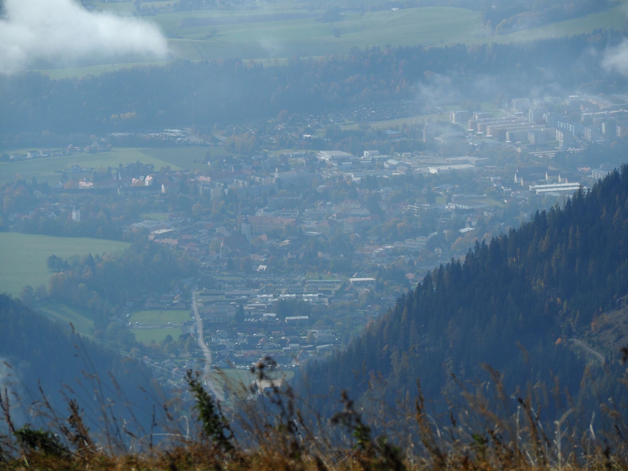
This moderately difficult hike for the whole family leads alternately along hiking trails and forest roads. After reaching the summit without too much effort, the hiker is offered a beautiful panoramic view of the Hochschwab massif, the Eisenerz Alps and, with good visibility, all the way to the Grazer Bergland.
- Directions
-
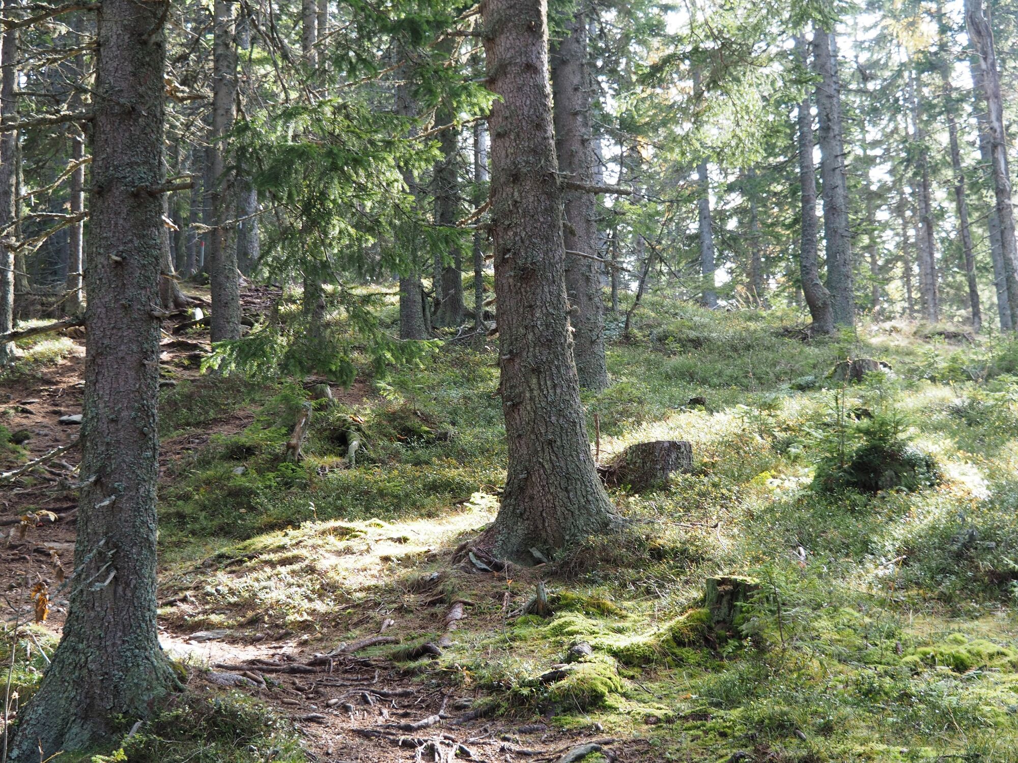
From Trofaiach, an approx. 14 km long access road leads to Gasthof Hiaslegg, 1145m. From there, continue on foot along wide and signposted paths along the forest ridge. Shortly before the summit, the path climbs a bit steeper once again, to then end in a beautiful high plateau. The Thalerkogel is an easy, non-strenuous hike, but the walking time can increase quite a bit, especially during the time when blueberries are ripe.
- Highest point
- 1,635 m
- Endpoint
-
Gasthaus Hiaslegg, 1154m (signposted access)
- Height profile
-

- Equipment
-
Proper backpacking makes many things easier: pack heavy things first. The water bottle should always be within easy reach in a side pocket. All things that are often needed, such as sunglasses, camera or hiking map, belong on top. An emergency kit including blister plaster belongs in every backpack and a clothing according to the "onion system" is always recommended!
- Safety instructions
-
Emergency call mountain rescue: 140
Emergency reporting tip - provide answers to the six W questions: What happened? How many injured? Where did the accident happen (possibly GPS coordinates)? Who is reporting (callback number)? When did the accident happen? Weather at the accident site?
- Tips
-
A refreshment in the rustic Almgasthaus "Hiaslegg" is recommended.
- Additional information
- Directions
- Public transportation
-
Timetables and travel information can be found directly at: Österreichischen Bundesbahnen (ÖBB), Steiermärkischen Landesbahnen (STLB), www.busbahnbim.at
With the BusBahnBim app of the Verbundlinie, timetable information has never been easier: all bus, train and tram connections in Austria can be queried by entering locations and/or addresses, stops or important points. The app is available as a free app for smartphones (Android, iOS) - on and in the
- Parking


- Author
-
The tour Thalerkogel is used by outdooractive.com provided.


General info
-
Erzberg Leoben
2528
-
Hochschwab
1273
-
Tragöß - Grüner See
471