
- Brief description
-
A hike over the Suppenberg and through the Mürztal in the heart of Hochsteiermark. A cultural - culinary round around Kindberg. Also ideal as a day tour to get a taste of the High Styrian BergZeitReise or the Styria-wide multi-day tour "from glacier to wine".
- Difficulty
-
easy
- Rating
-
- Route
-
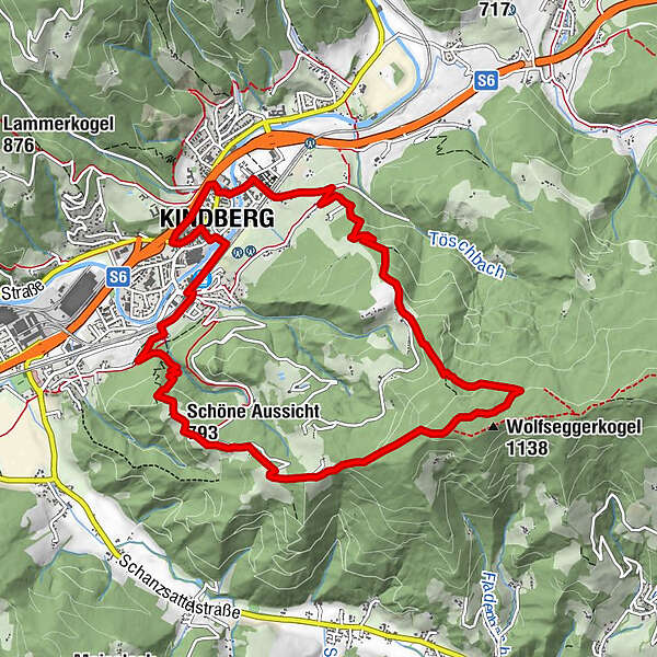
Kindberg0.2 kmKindberg0.5 kmKalvarienbergkirche1.3 kmSchöne Aussicht (793 m)2.5 kmSchöne-Aussicht2.6 kmWolfseggerkogel (1,138 m)5.6 kmGasthaus Ochnerbauer7.2 kmBürgerwald7.5 kmKindberg11.1 km
- Best season
-
JanFebMarAprMayJunJulAugSepOctNovDec
- Description
-
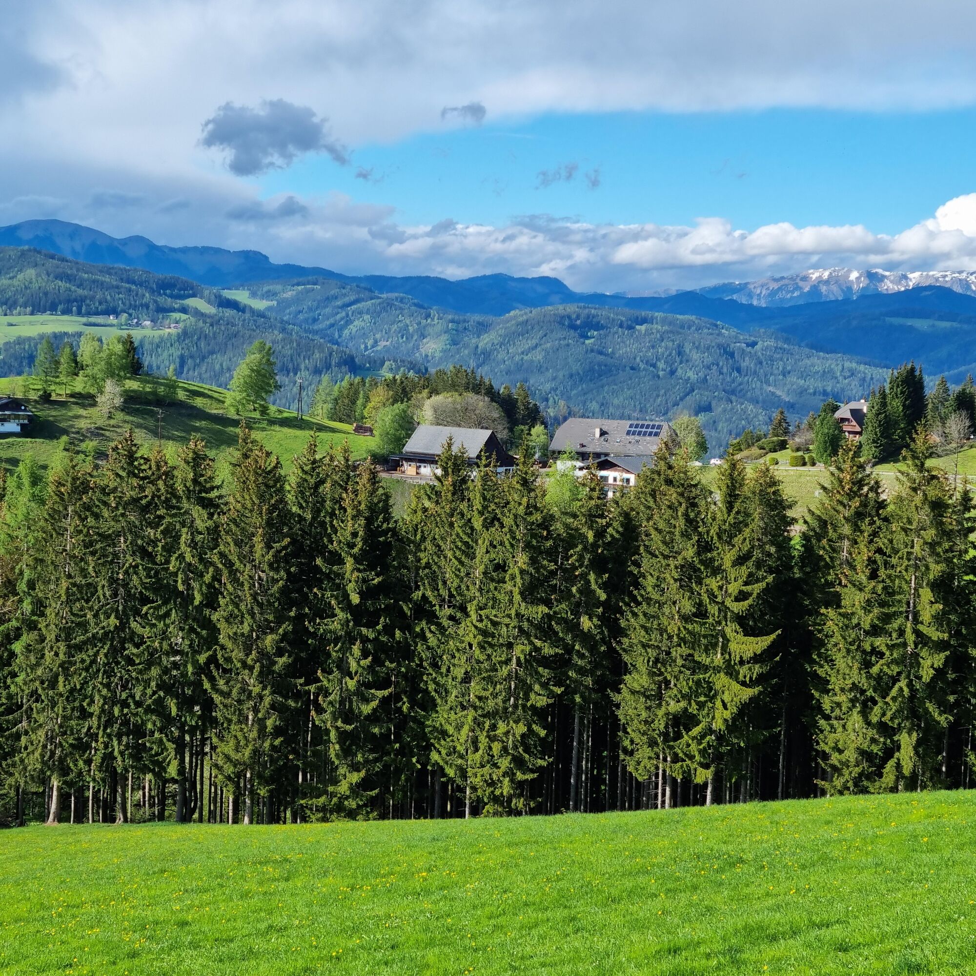
The circular hike takes us over the historic Calvary, one of the most beautiful of its kind in Austria and over the "beautiful view" with a magnificent view of the Mürztal to the Ochnerbauer cross with a panoramic view of Rax and Schneealm to Hochschwab and the Eisenerzer Alps. In addition, there are culinary delights at the GH Ochnerbauer or also in Kindberg itself.
- Directions
-
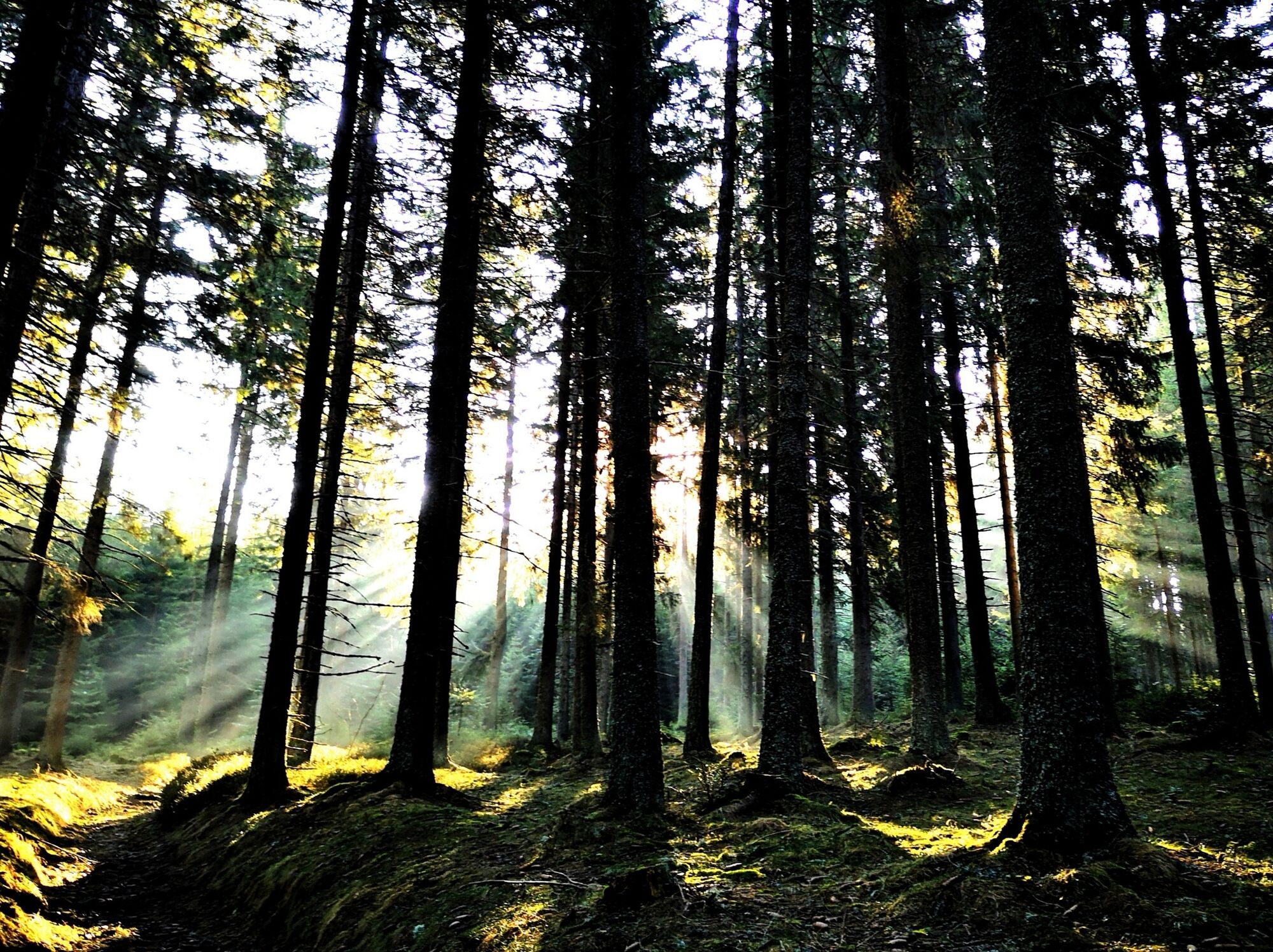
Today we embark on an easy and not too long, but very scenic circular hike along the High Styrian mountain time travel high above the Mürztal.In addition, this tour can be ideally combined with a few cultural and historical interesting destinations, including a visit to one of the most beautiful Calvary Mountains in Austria.
From the guild tree over the Calvary to the "beautiful view".
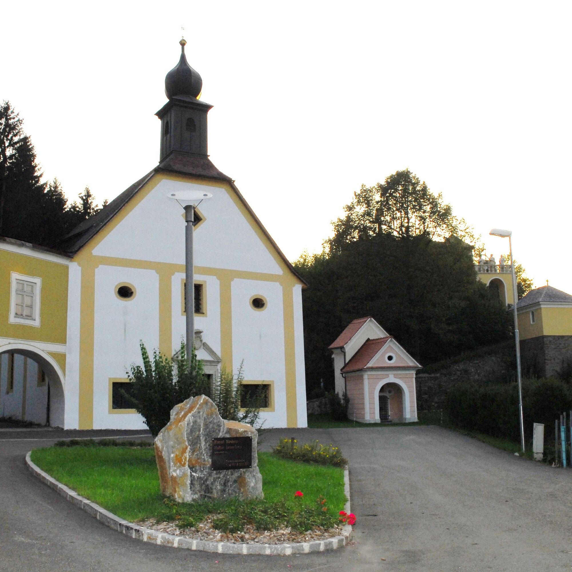
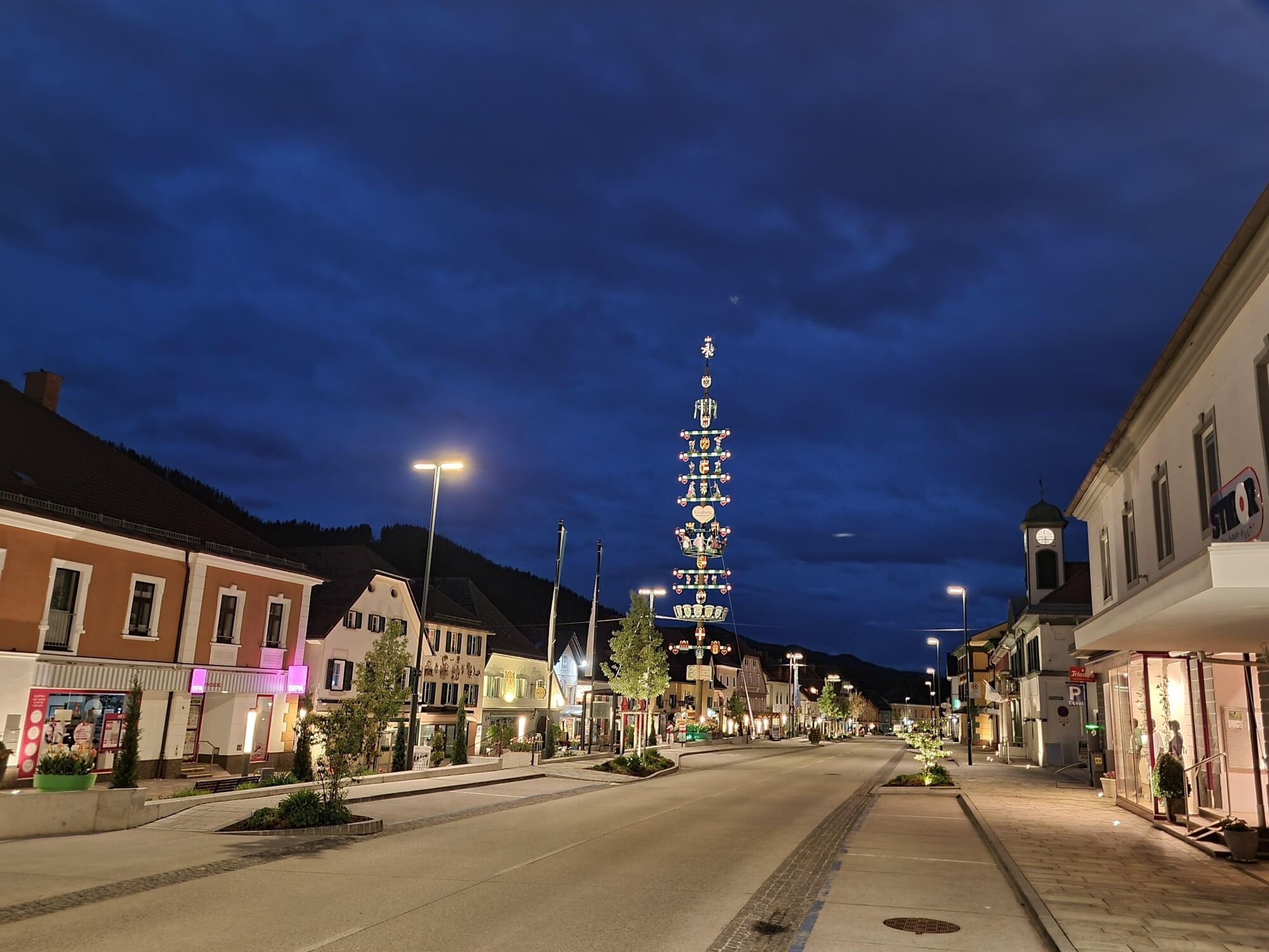
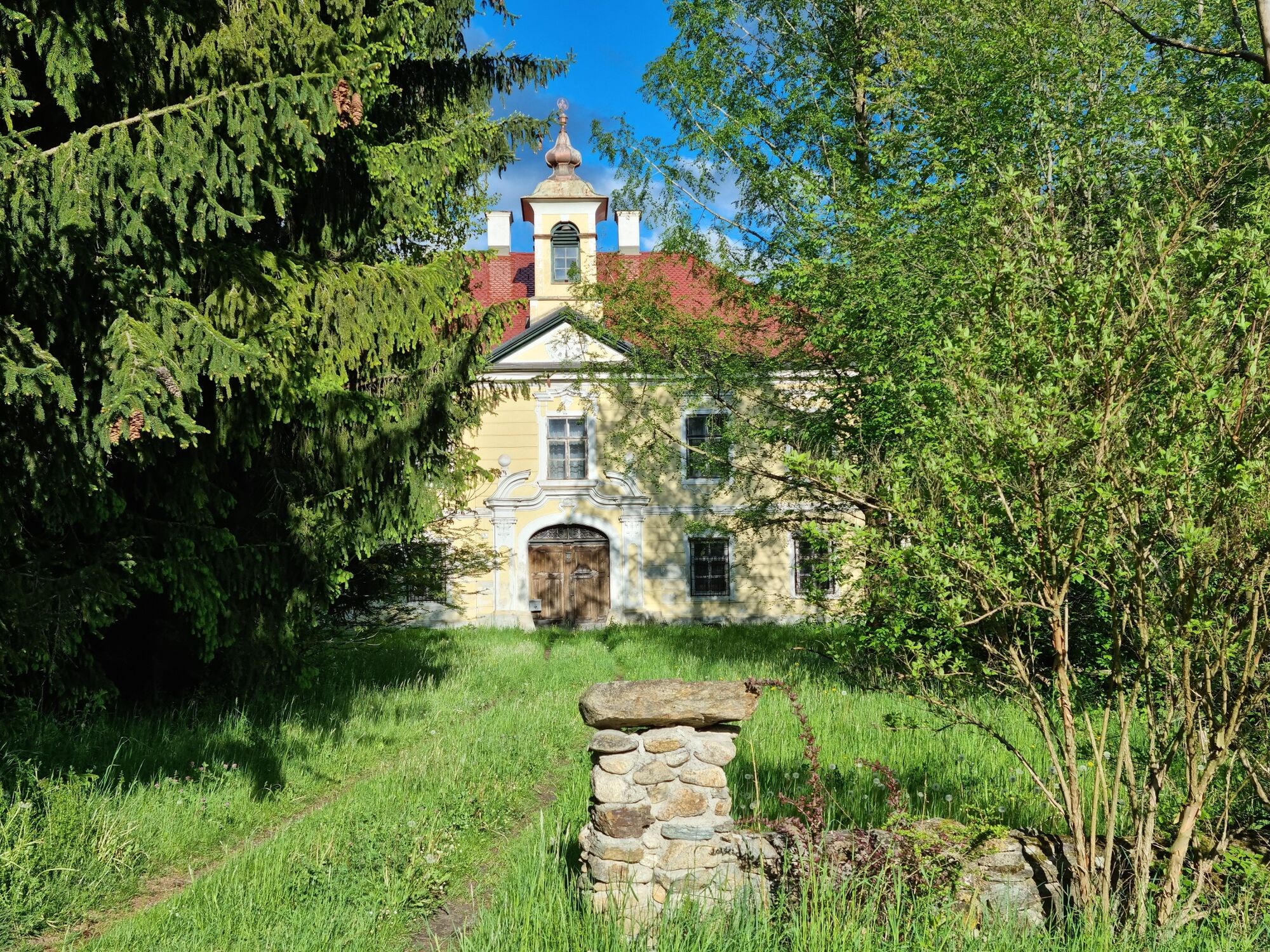
We start our circular walk in the center of Kindberg, directly under the prominent guild tree, the town's landmark. We walk in a westerly direction along Stanzer Straße to the clearly visible Kalvarienberg, which we ascend via a steep wooden staircase.
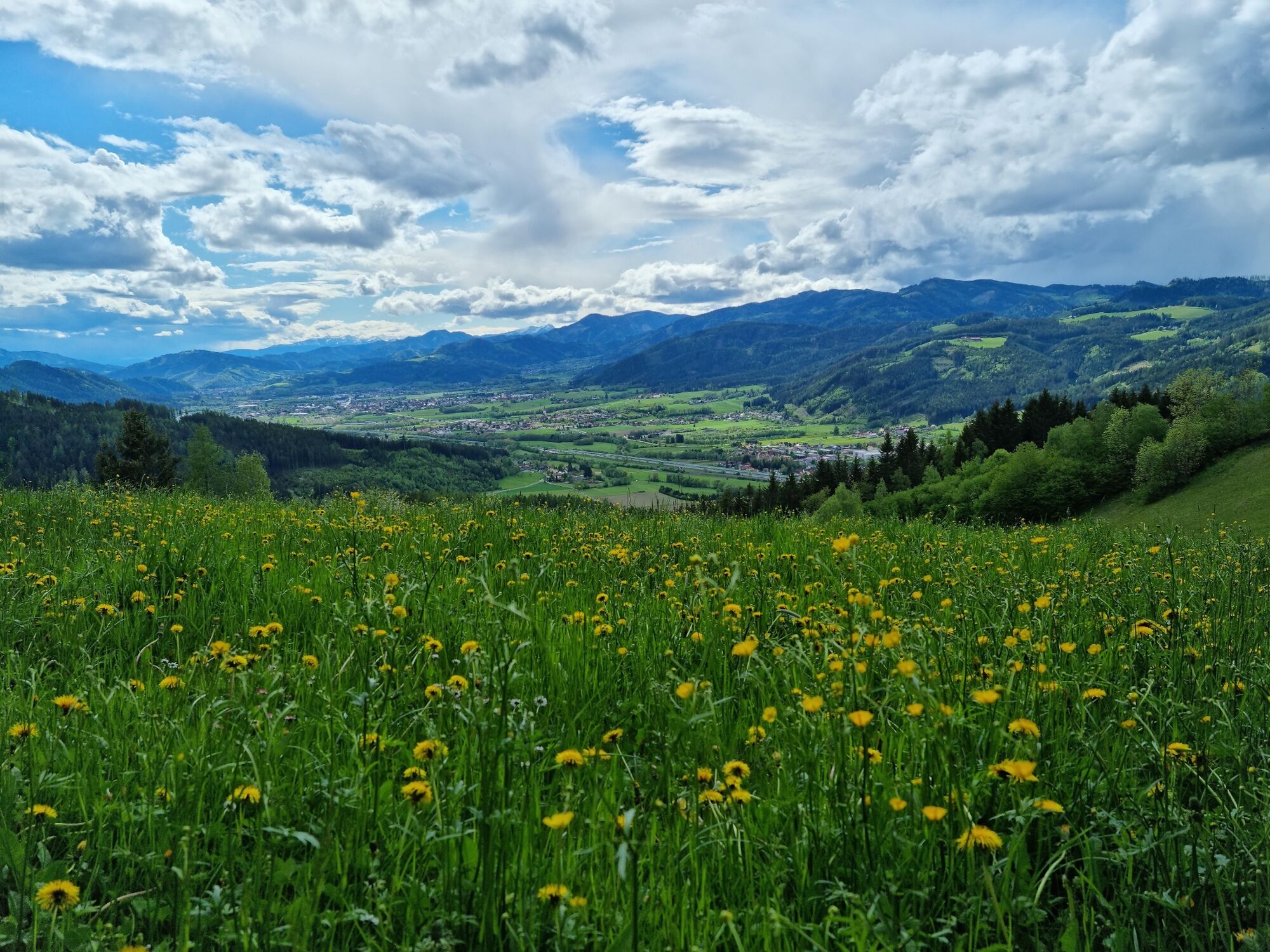
At the viewing level we look out over the town of Kindberg and a large part of the Mürz valley. Now we continue, first along a path at the edge of the forest and, turning sharply left at an old wooden house and two large cherry trees, along a forest path to the start of the climb in the direction of the "beautiful view" (sign). Now in numerous hairpin bends, sometimes a bit steeper, to this "beautiful view" (small shelter).
Now we climb the Suppenberg
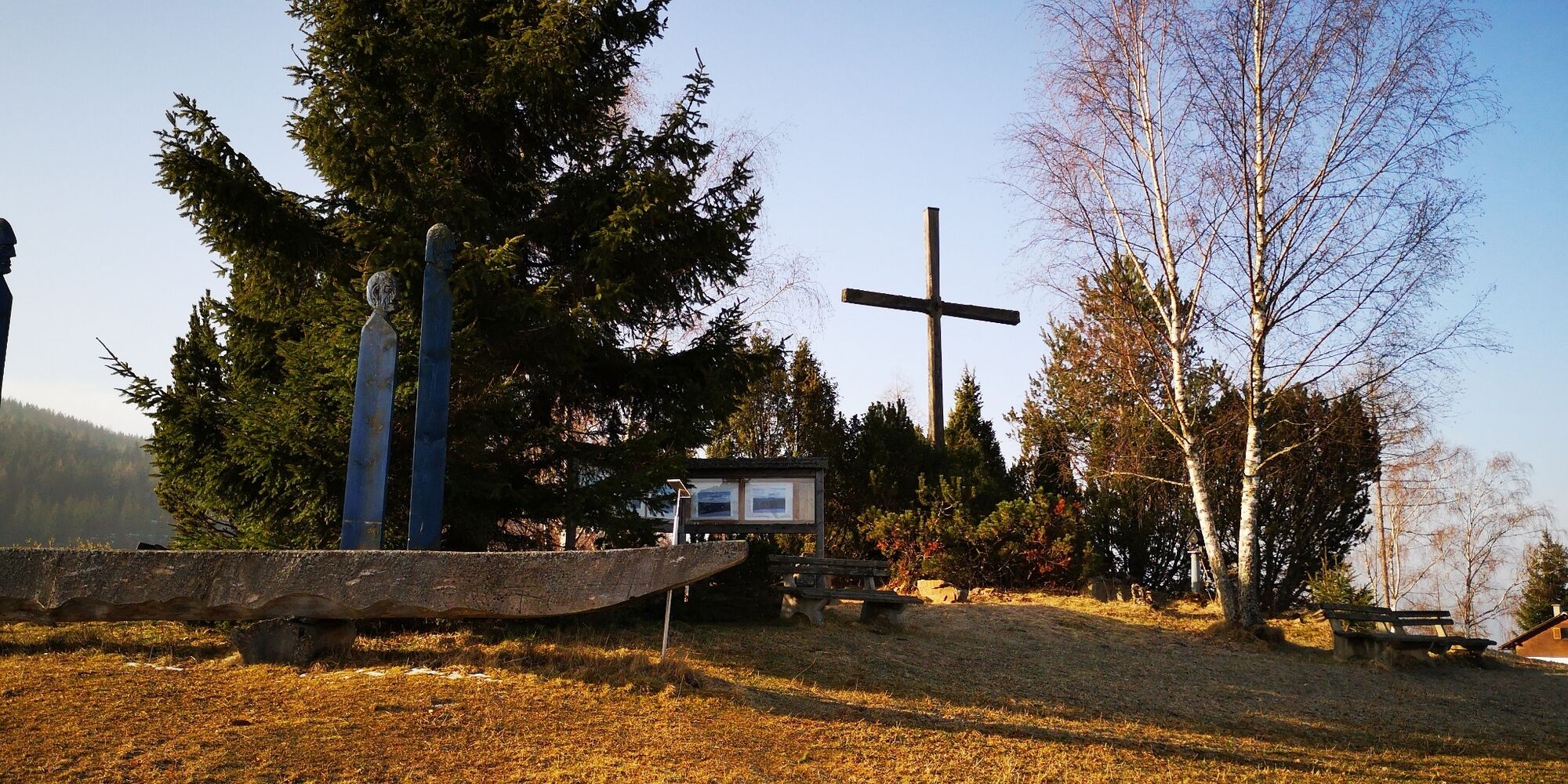
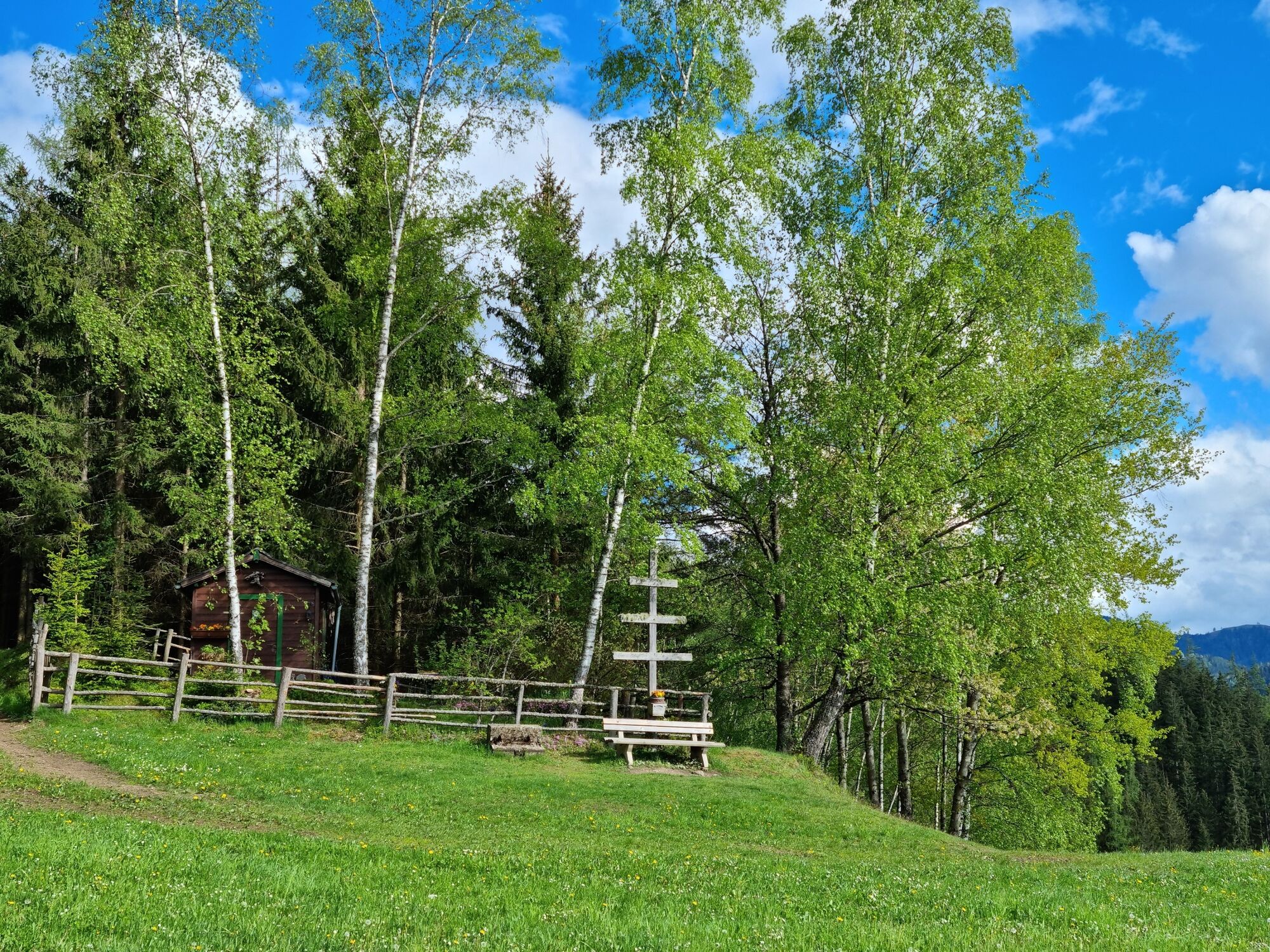
From this small shelter, we continue upwards across open meadows, past a hut, to a bend in the road. Here immediately to the right and again over a large meadow uphill to a prominent weather cross with a resting bench.
Now we have reached the marked path in the direction of Stanglalm and follow it uphill over forest tracks and short stretches of road to the so-called Suppenberg (farmstead "Simmerl im Eck", beautiful view into the Stanzertal). Continue on the marked path until you reach the junction of a mountain bike trail after a few minutes. If you want to shorten the tour here, you can now walk left downhill directly to the Ochnerbauer inn (partly asphalted road sections). But we follow, keeping slightly to the right, the markings further uphill to the so-called "Wolfsbrünndl".
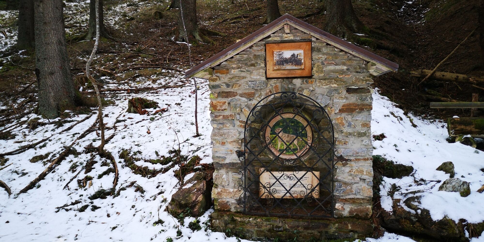
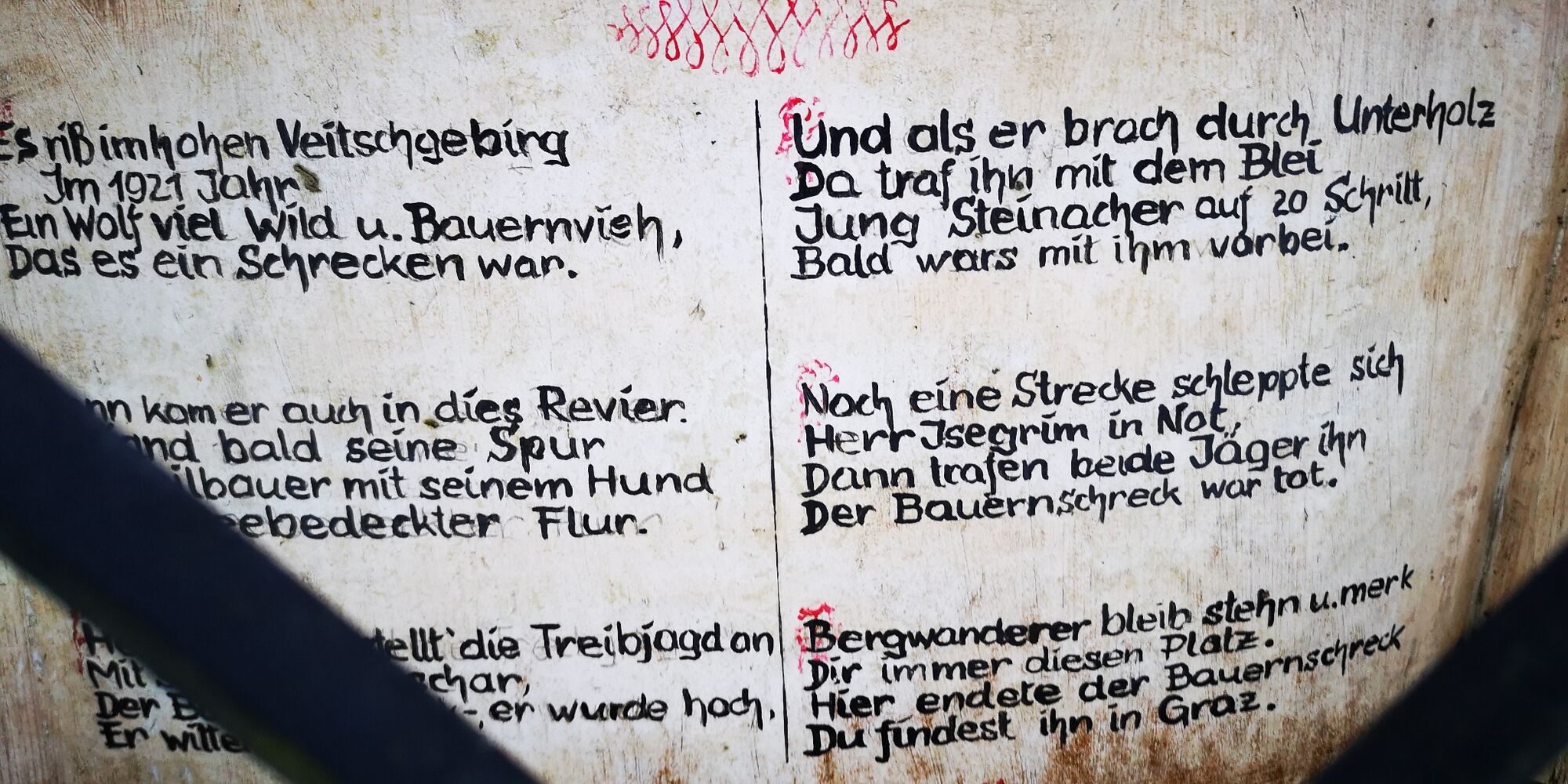
Here, almost exactly 100 years ago, the last wolf in the region is said to have been killed - a small poem on a memorial stone here commemorates this event.
It goes downhill in the direction of Mürztal
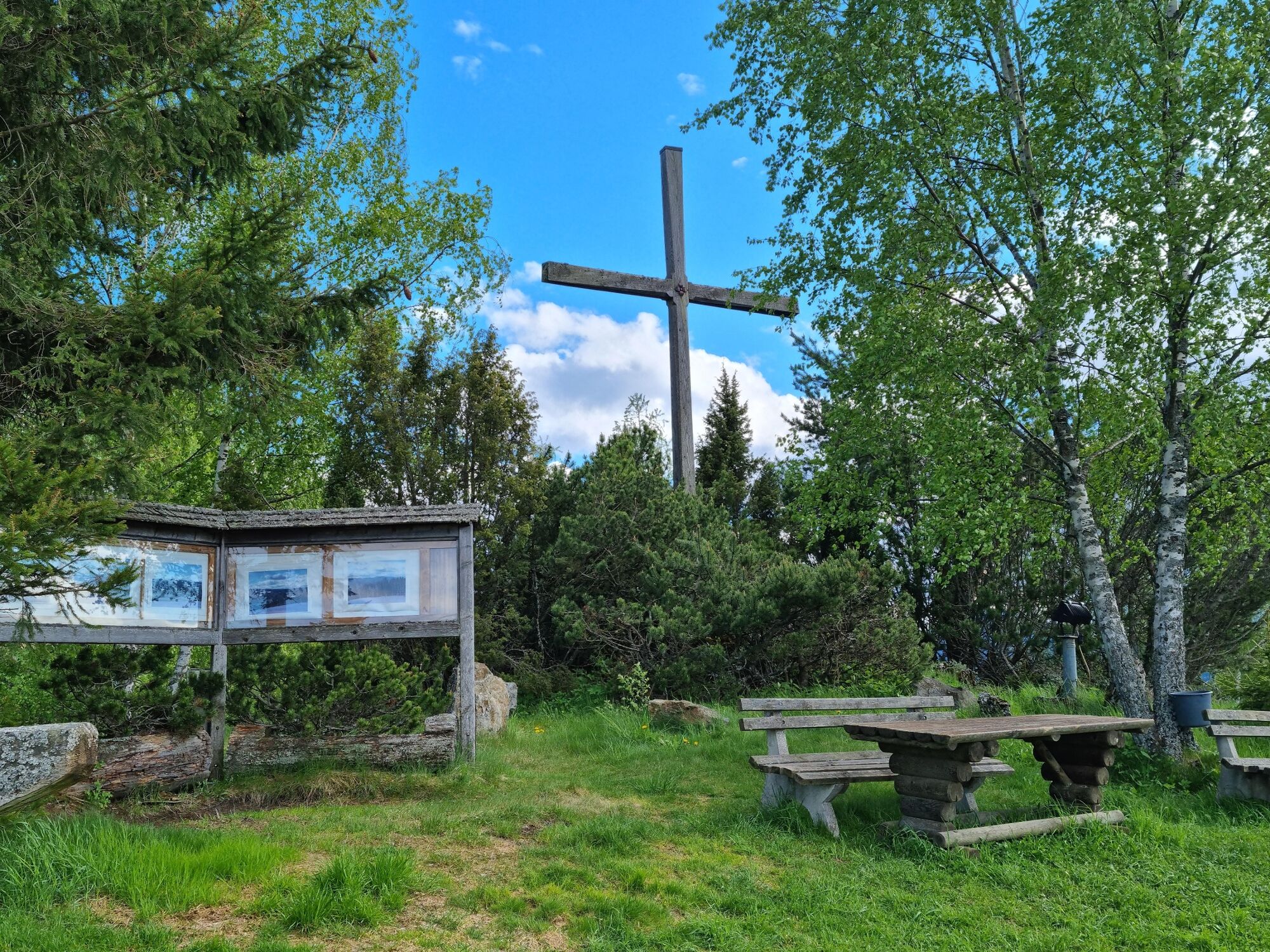
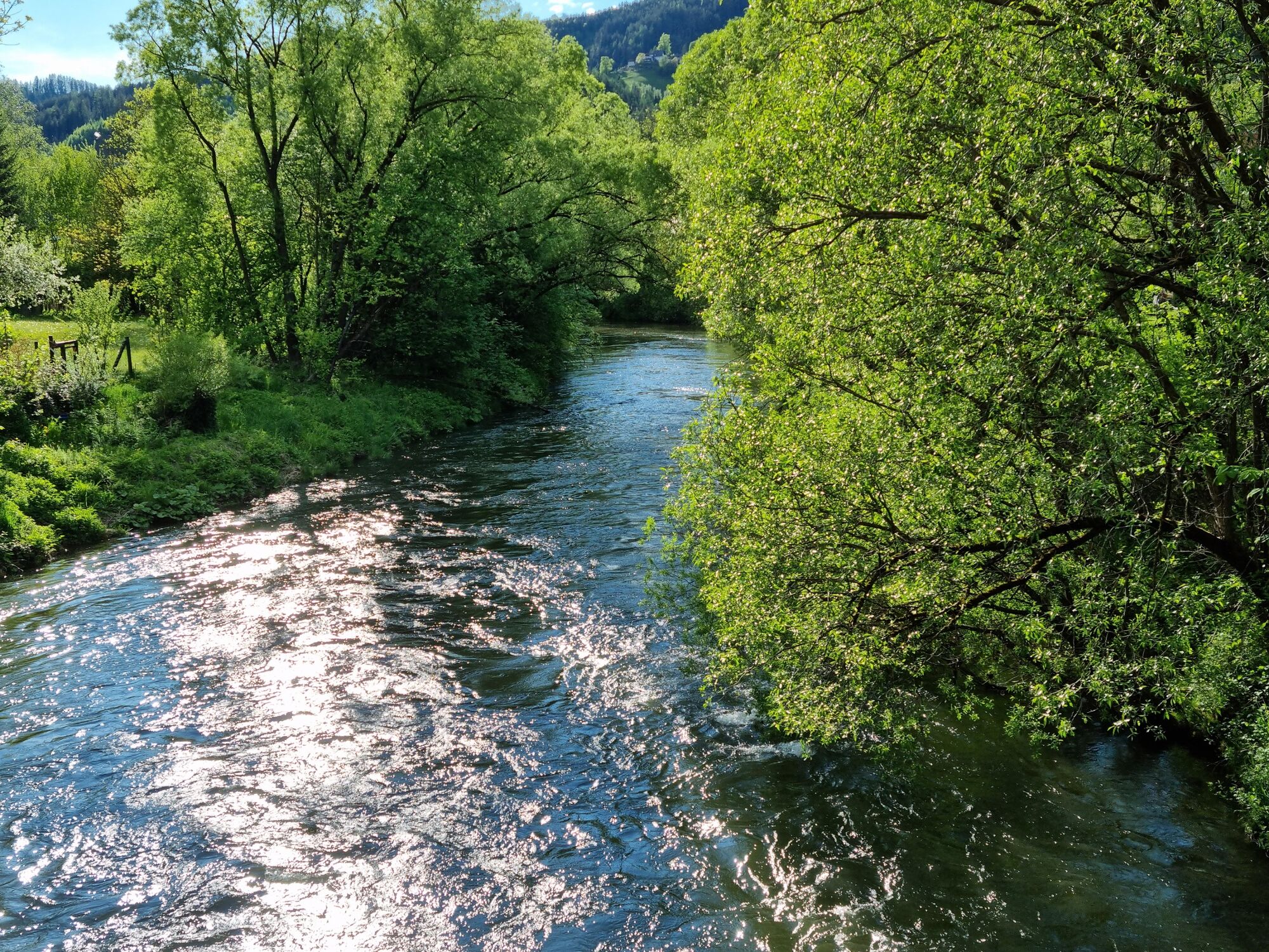
Our path now turns sharply to the left and follows a forest road and later a forest trail downhill to the beautifully situated GH Ochnerbauer. Not far from there is also a prominent summit cross with one of the most beautiful viewpoints of the Mürztal. So we can now combine a culinary rest with a mountain panorama. From GH Ochnerbauer we now go, keeping slightly to the right over a hiking trail marked with red - white circle markings, partly quite steeply downhill in the direction of Kindberg.Thus we reach the Mürztal and cross the Mürz at Friedau Castle. Keeping to the left, we now follow the road and return to our starting point in Kindberg town center.
- Highest point
- 1,109 m
- Endpoint
-
Kindberg Stadtzentrum
- Height profile
-

- Equipment
-
Proper backpacking makes a lot of things easier:
Pack heavy things first. The water bottle should always be within easy reach in a side pocket. All things that are often needed, such as sunglasses, camera or hiking map, belong on top. An emergency kit including blister plaster belongs in every backpack and a clothing according to the "onion system" is always recommended!
Use good, ankle-high shoes for all hikes! In winter, non-slip footwear is recommended.
- Safety instructions
-
The entire trail is safe to walk almost all year round (except in extreme snow or black ice), in winter proper clothing or non-slip footwear required!
Emergency call mountain rescue: 140, www.bergrettung-stmk.at
Tip for emergency reporting - give answers to the six W-questions:What happened? How many injured? Where did the accident happen (possibly GPS coordinates)? Who is reporting (callback number)? When did the accident happen? Weather at the scene of the accident?
- Tips
-
Along the hike or with short detours, nature experience and culture can be perfectly combined. For example, when visiting the Calvary, the Georgiberg Church (somewhat off the described route), the Kindberg Parish Church and the Kopfallee Oberkindberg.
- Additional information
-
www.hochsteiermark.at
www.steiermark.com
www.kindberg.at
www.bergzeitreise.at
The Styria Tours App, available for free on Google Play and in the App Store (Android, iOS), offers detailed first-hand information:
Shortfacts (length, duration, difficulty, ascent and descent in altitude meters, ratings), map, route descriptions, altimeter, compass, summit finder, navigation along the tour.
In addition, you can create your personal favorites list of favorite tours and points, save tours and destinations offline, play on social media channels and more.
- Public transportation
-
Timetables and travel information can be found directly at:
Austrian Federal Railways (ÖBB)
Styrian State Railways (STLB)
www.busbahnbim.at
With the BusBahnBim app from Verbundlinie, finding a timetable has never been easier:
All bus, train and streetcar connections in Austria can be queried by entering places and/or addresses, stops or important points. The app is available as a free app for smartphones (Android, iOS) - on Google Play and in the App Store.
- Parking
-
Parking possibilities in Kindberg (short term parking zone Mon. - Sat. note!), also parking spaces in the area Kindberg Roßdorfplatz.

-

-
AuthorThe tour BergZeitReise Tagestourentipp Kindberger Suppenberg is used by outdooractive.com provided.