Stage 04 From Glacier to Wine North Route Variant Bad Mitterndorf - Tauplitzalm with Tauplitz chairlift


- Brief description
-
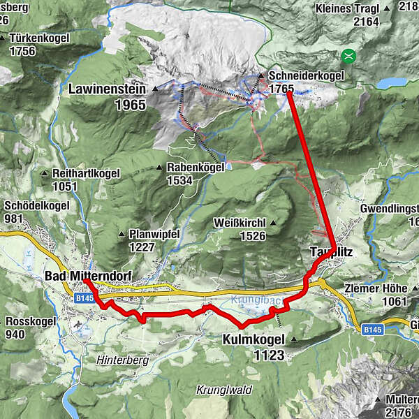
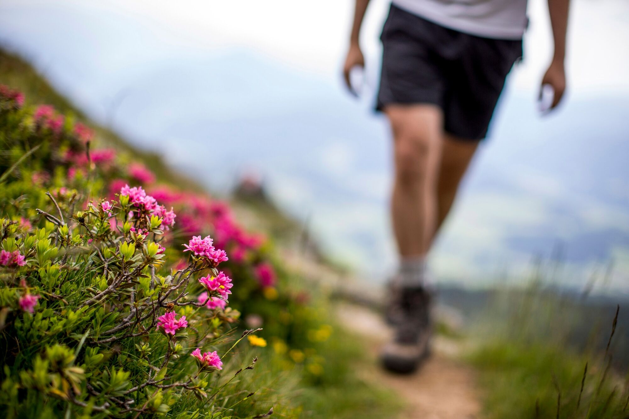
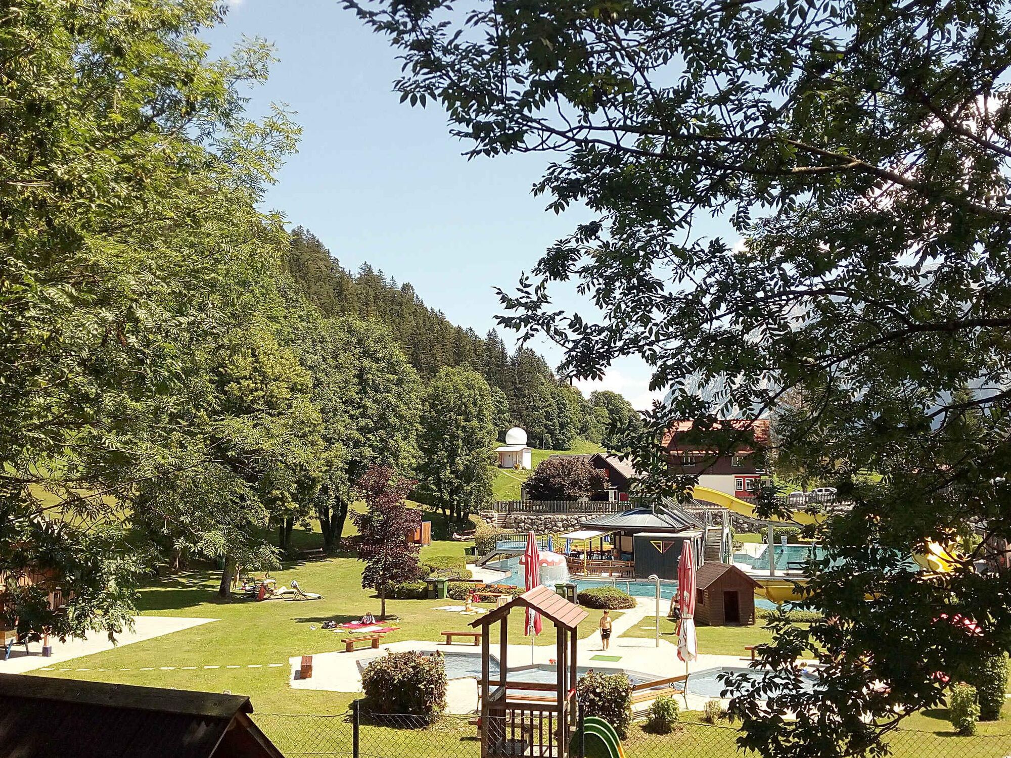
Bad Mitterndorf with the Grimming Therme is the starting point of this variant on the hiking route "From Glacier to Wine", which takes us to the Tauplitzalm, the largest lake plateau in Europe. The ascent from the village of Tauplitz to the alp of the same name is made easier by the two chairlifts, which are in operation daily from mid/end June to mid September from 08:30 - 12:00 and 13:00 - 16:30, weather permitting.
- Difficulty
-
easy
- Rating
-
- Starting point
-
Bad Mitterndorf
- Route
-
Pfarrkirche zur hl. Margareta0.0 kmBad Mitterndorf0.1 kmKrungl4.0 kmFurt7.5 kmTauplitz8.6 kmBergstation12.7 km
- Best season
-
JanFebMarAprMayJunJulAugSepOctNovDec
- Description
-
The Salzkammergut is also called the region of happiness places. This includes unique places that are gladly visited for the unfolding of inner sensitivity and for self-discovery - be they natural sites, places of legend or places of sacred nature. They are places that evoke special harmony in us, awaken pleasant memories, give rise to pleasant feelings or make us feel joy. Examples of these special places are the Lawinenstein, which towers above Bad Mitterndorf and the Tauplitzalm, or the Kulm with its famous natural ski jump, where the path leads us directly past. The ski jump was built almost 60 years ago and has been constantly expanded and rebuilt. It is one of the most modern facilities in the world and can be visited all year round.
- Directions
-
We leave Bad Mitterndorf in a southeasterly direction to get out of the town via path number 19. Comfortably and flat it goes for us now along past the train station in an easterly direction wauf path number 2 to Krungl, one of the lucky places in the Ausseerland. The village is built on a burial ground, which was first assigned to the Slavs, but could also already be Bavarian. The finds are irreplaceable for the oldest history of Styria, because the archaeological traces of the settlement of the Alps in the Middle Ages are still quite modest. Thus, the presence of the Alpine Slavs, evidenced by numerous field and place names, and the immigration of the Bavarians from the middle of the 8th century can hardly be traced. Among the most important sources from this period are still the burial grounds of Krungl.
From Krungl we follow trail number 1, which leads us directly to the outlet of the ski jump at Kulm. Since this stage of the hiking route "From Glacier to Wine" is one of the shortest, as we take the chairlift to ascend to the Tauplitzalm, we should take time to visit the Kulm ski jump.
From the Kulm we now go directly to the village of Tauplitz to the valley station of the chairlift, which takes us in 2 stages (Tauplitz Bergbahn I and II) to the alpine pasture of the same name with its numerous accommodation options - from rustic huts to hotels. All these have one thing in common besides the coziness: here we are also advised in the best possible way about our next stage to the Hochmölbinghütte.
- Highest point
- 1,647 m
- Endpoint
-
Tauplitzalm
- Height profile
-

- Equipment
-
Proper backpack packing makes many things easier: Pack heavy things first. The water bottle should always be within reach in a side pocket. All the things that are often needed, such as sunglasses, camera or hiking map, belong on top. An emergency kit, including blister plasters, belongs in every rucksack and it is always advisable to dress in layers.
- Safety instructions
-
Emergency call mountain rescue: 140
Tips when reporting an emergency – Answer these six WH questions: What happened? How many people are injured? Where did the accident happen (are there GPS coordinates)? Who is reporting the incident (callback number)? When did the accident happen? What is the weather like at the site of the incident?
- Tips
-
Die Schanze am Kulm wurde vor knapp 60 Jahren errichtet und ständig aus- und umgebaut. Sie zählt zu den modernsten Anlagen weltweit und kann ganzjährig besucht werden. Am Podest stehend bekommt man einen Eindruck wie waghalsig diese Sportler sind und zudem genießt man einen atemberaubenden Ausblick auf den Talboden rund um Bad Mitterndorf.
- Additional information
-
Steiermark Tourismus
Tel. +43 316 4003
If you would like to hire a tour operator, simply book with Steiermark Touristik, the official travel agency of Steiermark Tourismus:
Tel. +43 316 4003 450,
The Steiermark Touren app, available free of charge on Google Play and the App Store (Android, iOS), offers detailed first-hand information: brief facts (length, duration, difficulty, ascent and descent/elevation gain, ratings), map, route descriptions, altimeter, compass, peak finder, navigation along the tour. You can also create your own personal lists of favourite tours and sites, store tours and destinations offline, use social media channels, and much more.
- Public transportation
-
Accessible by train and bus.
Detailed information about arriving by ÖBB (Austrian Federal Railways) can be found at www.oebb.at or on the Verbundlinie Steiermark website www.busbahnbim.at
With Verbundlinie’s BusBahnBim route planner app, planning your journey has never been easier: simply enter towns and/or addresses, stop names or points of interest to check all bus, train and tram connections in Austria. The app is available free of charge for smartphones – on Google Play and in the App Store
- Parking
-
There are numerous parking spaces available in Bad Mitterndorf.
-

-
AuthorThe tour Stage 04 From Glacier to Wine North Route Variant Bad Mitterndorf - Tauplitzalm with Tauplitz chairlift is used by outdooractive.com provided.


General info
-
Ausseerland - Salzkammergut
3382
-
Gröbminger Land
1190
-
Tauplitz
305


