


- Brief description
-
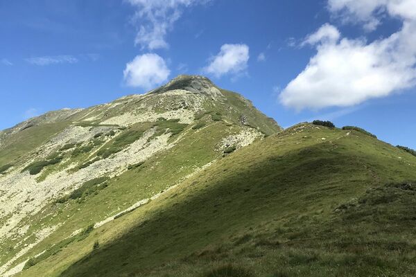
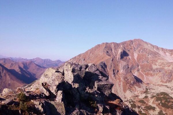
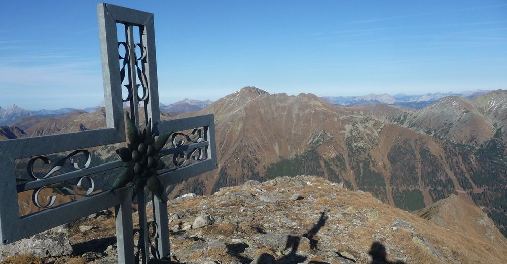
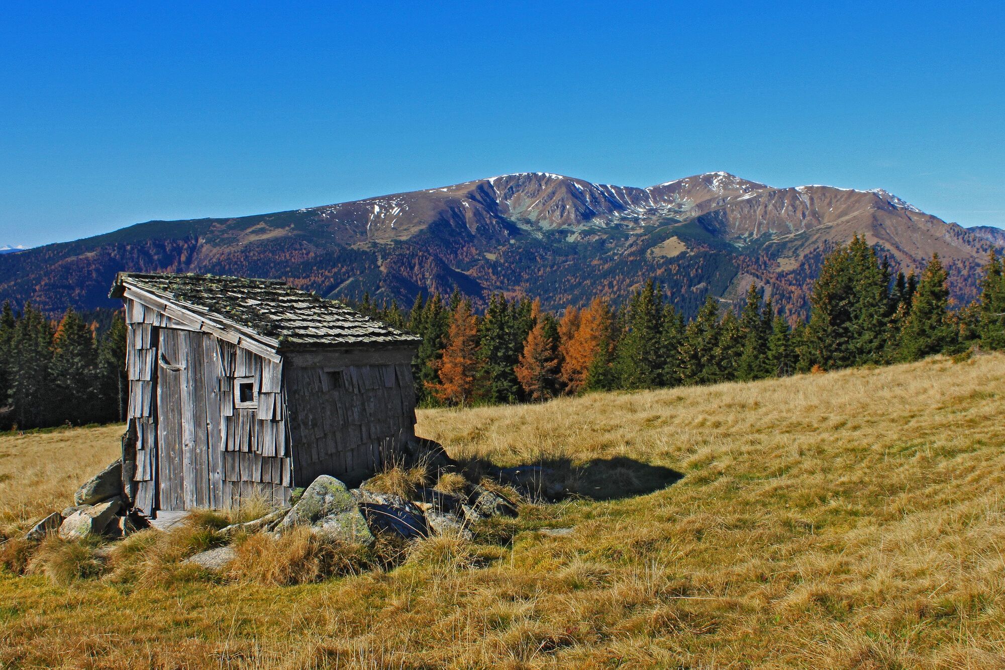
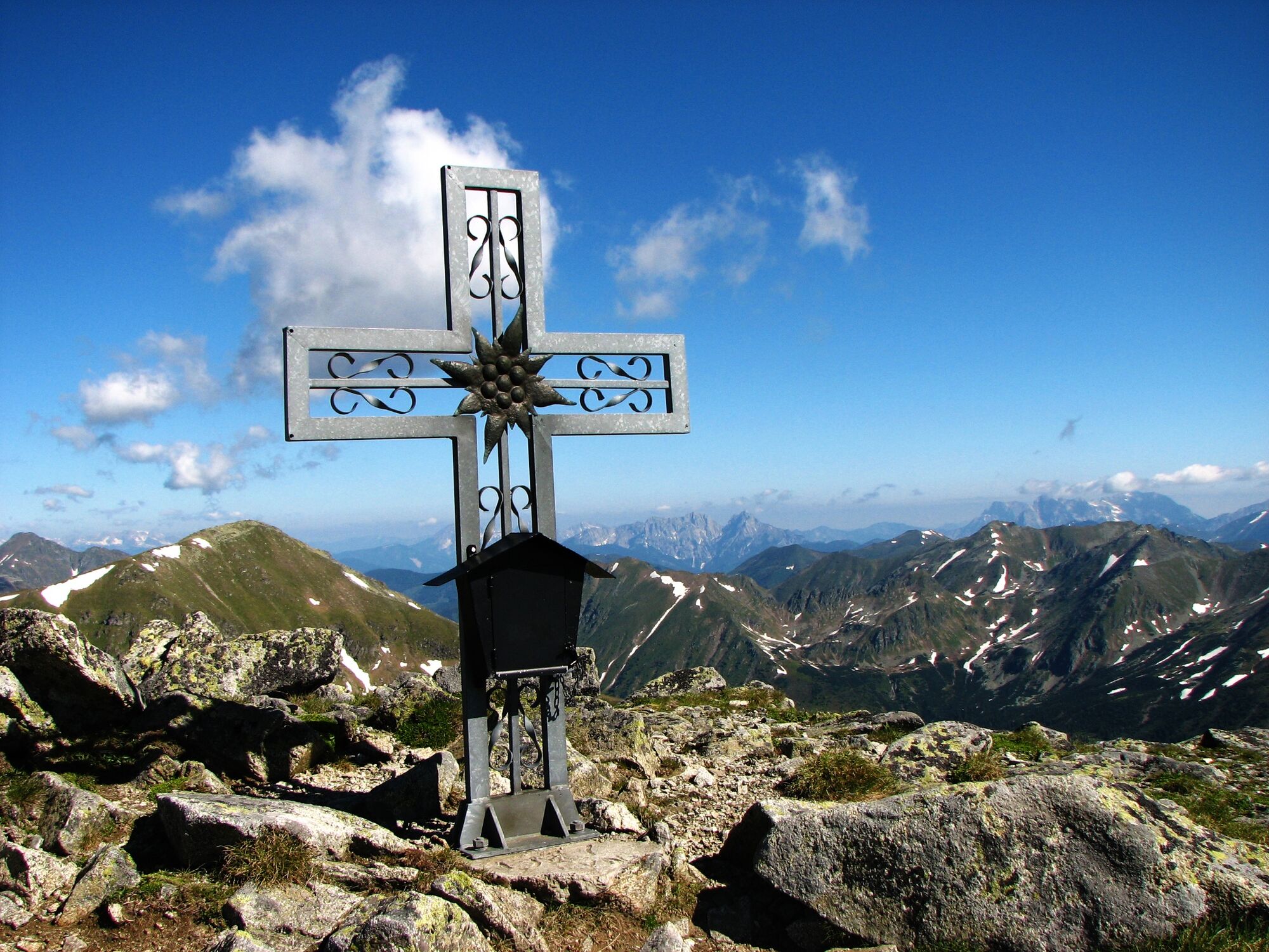
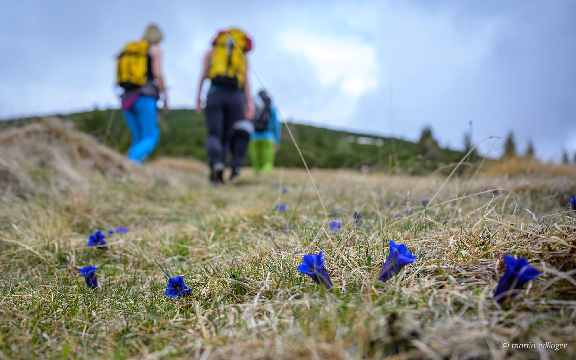
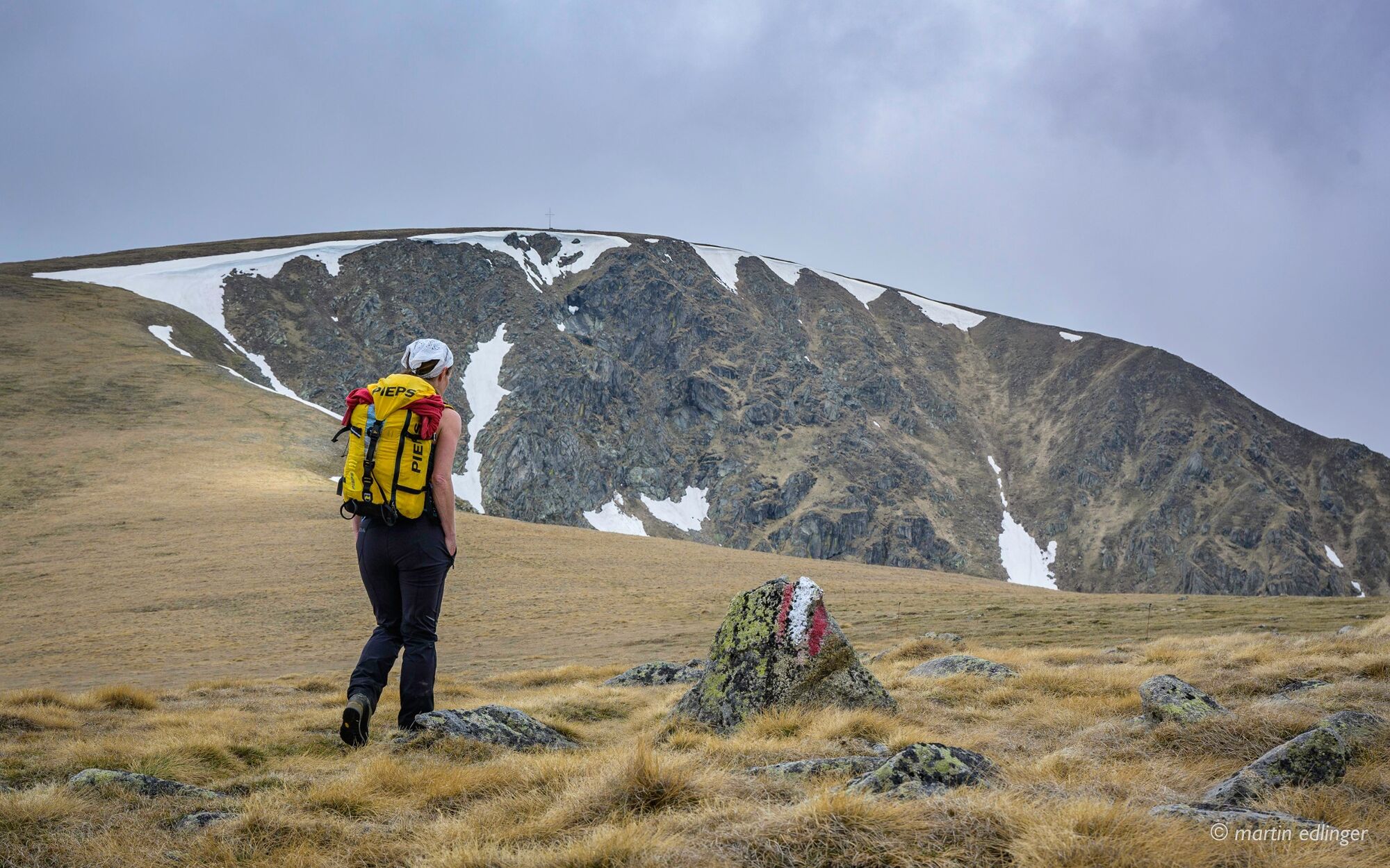
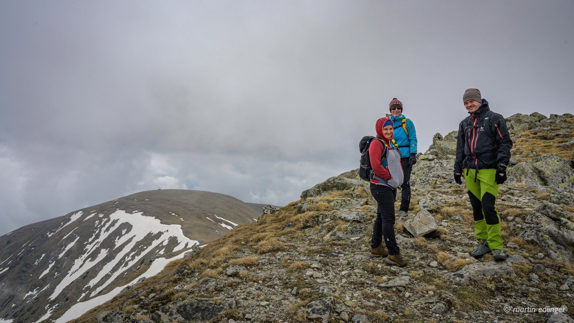
Long, challenging high-altitude hike in the heart of the Seckau Alps.
- Difficulty
-
difficult
- Rating
-
- Starting point
-
Gaalgraben
- Route
-
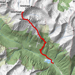
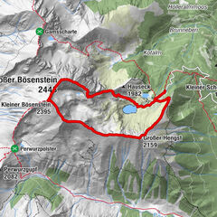
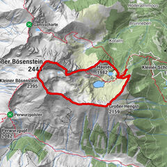
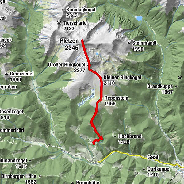
Repenstein (1,956 m)3.5 kmKleiner Ringkogel (2,110 m)4.6 kmGroßer Ringkogel (2,277 m)5.7 kmPletzen (2,345 m)7.2 kmGroßer Ringkogel (2,277 m)8.6 kmKleiner Ringkogel (2,110 m)9.7 kmRepenstein (1,956 m)10.9 km
- Best season
-
JanFebMarAprMayJunJulAugSepOctNovDec
- Description
-
This fantastic high-altitude hike leads on good paths and climbs in the Seckau Alps over the Kleiner Ringkogel (2,110m), over the Großer Ringkogel (2,277m) - to the Pletzen.
- Directions
-
High altitude hike
- Highest point
- 2,340 m
- Endpoint
-
Gaalgraben
- Height profile
-

- Equipment
-
Good hiking boots protect and relieve the foot and improve surefootedness! When making your choice, look for a perfect fit, non-slip tread sole, waterproofness and low weight, hiking poles are also very useful on the steeper and stony passages.
Adapt your equipment to your hike and make sure your backpack is light. Rain, cold and sun protection should always be in your backpack, as well as a first aid kit and cell phone (Euro emergency number 112). A map or GPS can help you find your way.
Since there are no refreshment stops on the tour, take enough to drink and food with you.
- Safety instructions
-
Avoid time pressure and choose the pace so that no one in the group gets out of breath.
Falls, as a result of slipping or tripping, are the most common cause of accidents! Note that too fast a pace or fatigue will severely affect your surefootedness and concentration.
- Additional information
- Directions
-
Knittelfeld West - Gaal - Gaalgraben
- Public transportation
-
Access by public transport is not possible.
- Parking
-
Free parking

- Author
-
The tour Pletzen via Gaalreiter is used by outdooractive.com provided.


General info
-
Erlebnisregion Murtal
1782
-
Gaal
244