Tour data
17.28km
374
- 801m
572hm
529hm
05:11h

- Brief description
-
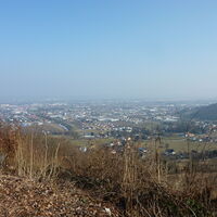
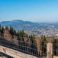
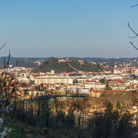
Wanderung über den Grazer Plabutsch
- Difficulty
-
easy
- Rating
-
- Starting point
-
Pfarrkirche Maria Elend in Straßgang
- Route
-
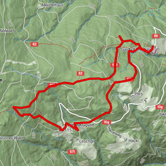
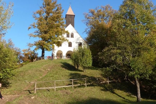
Zur alten SchmiedeKirche Maria im Elend zu Straßgang0.2 kmJubiläumskapelle0.2 kmFlorianiberg (527 m)1.3 kmAussichtspunkt1.6 kmAussichtsrampe4.6 kmBuchkogelsattel (555 m)5.9 kmBuchkogelsattel (539 m)6.3 kmSankt Johann und Paul6.6 kmGasthaus Dorrer7.8 kmGaisbergsattel (527 m)9.6 kmMühlberg (720 m)14.1 kmFürstenstand (758 m)15.3 kmLöseranlage17.2 km
- Best season
-
JanFebMarAprMayJunJulAugSepOctNovDec
- Highest point
- 801 m
- Endpoint
-
Bushaltestelle Gösting
- Source
- Winfried Acko
GPS Downloads
Trail conditions
Asphalt
Gravel
Meadow
Forest
Rock
Exposed
Other tours in the regions
-
Erlebnisregion Graz
2783
-
Graz und Region Graz
1524
-
Thal
689


