- Brief description
-
This hike is perfect for a short break in nature or for a leisurely walk with the whole family.
- Difficulty
-
easy
- Rating
-
- Starting point
-
Municipal office Thannhausen
- Route
-
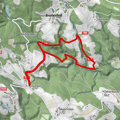
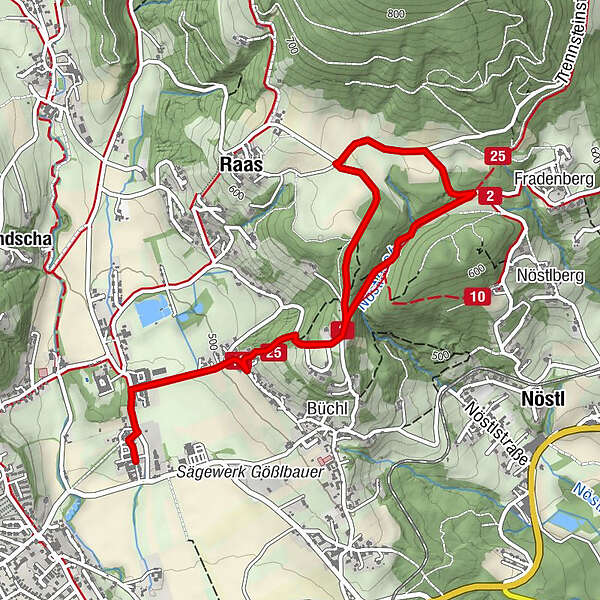
Gasthaus Ablasser0.1 kmOberfladnitz-Thannhausen0.3 kmRaas2.3 kmOberfladnitz-Thannhausen5.0 kmGasthaus Ablasser5.2 km
- Best season
-
JanFebMarAprMayJunJulAugSepOctNovDec
- Description
-
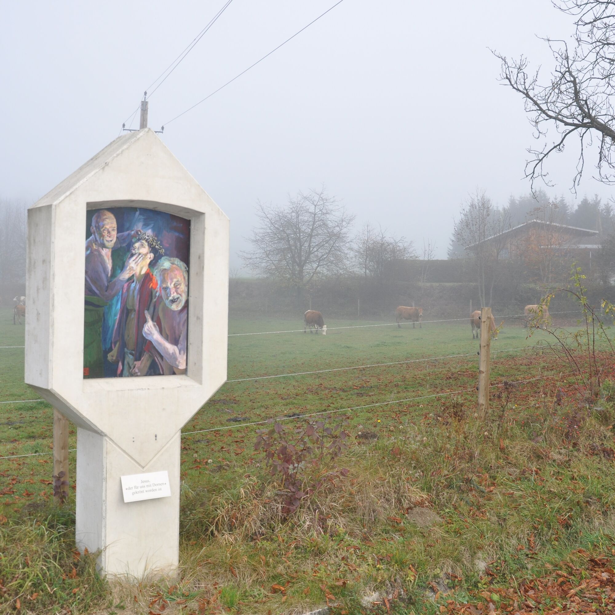
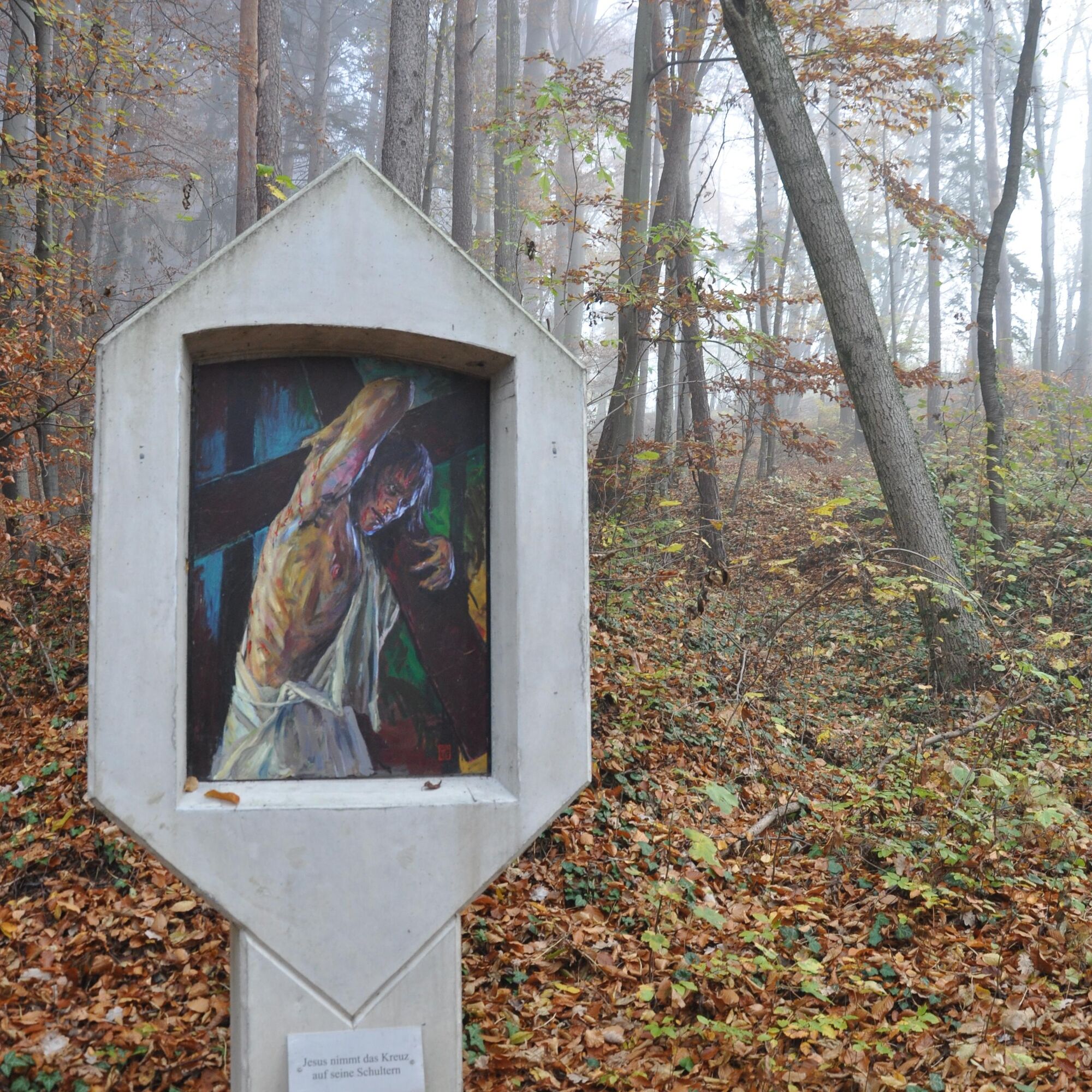
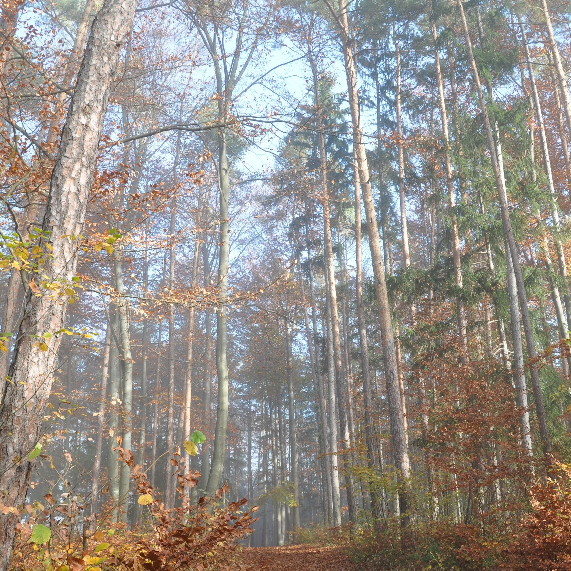
This hike starts at the Thannhausen municipal office and leads up to Calvary via the Way of the Cross. It then continues along a forest path and back again via a great forest path. This short circular walk is perfect for winding down after a long day at work or simply a quick tour while the sun is still shining in the late afternoon. With its not too steep climbs, it is suitable for the whole family. You can also take a little more time to take a closer look at the Way of the Cross and Calvary and enjoy a spiritual hike.
- Directions
-
We start our tour at the Thannhausen municipal office. First we follow the road towards the castle wall and then turn right at the first crossroads.
There we can already see the first sign of the Thannhausen Way of the Cross. Keep to the right at the road junction and then turn left at the next opportunity to turn onto a gravel path.
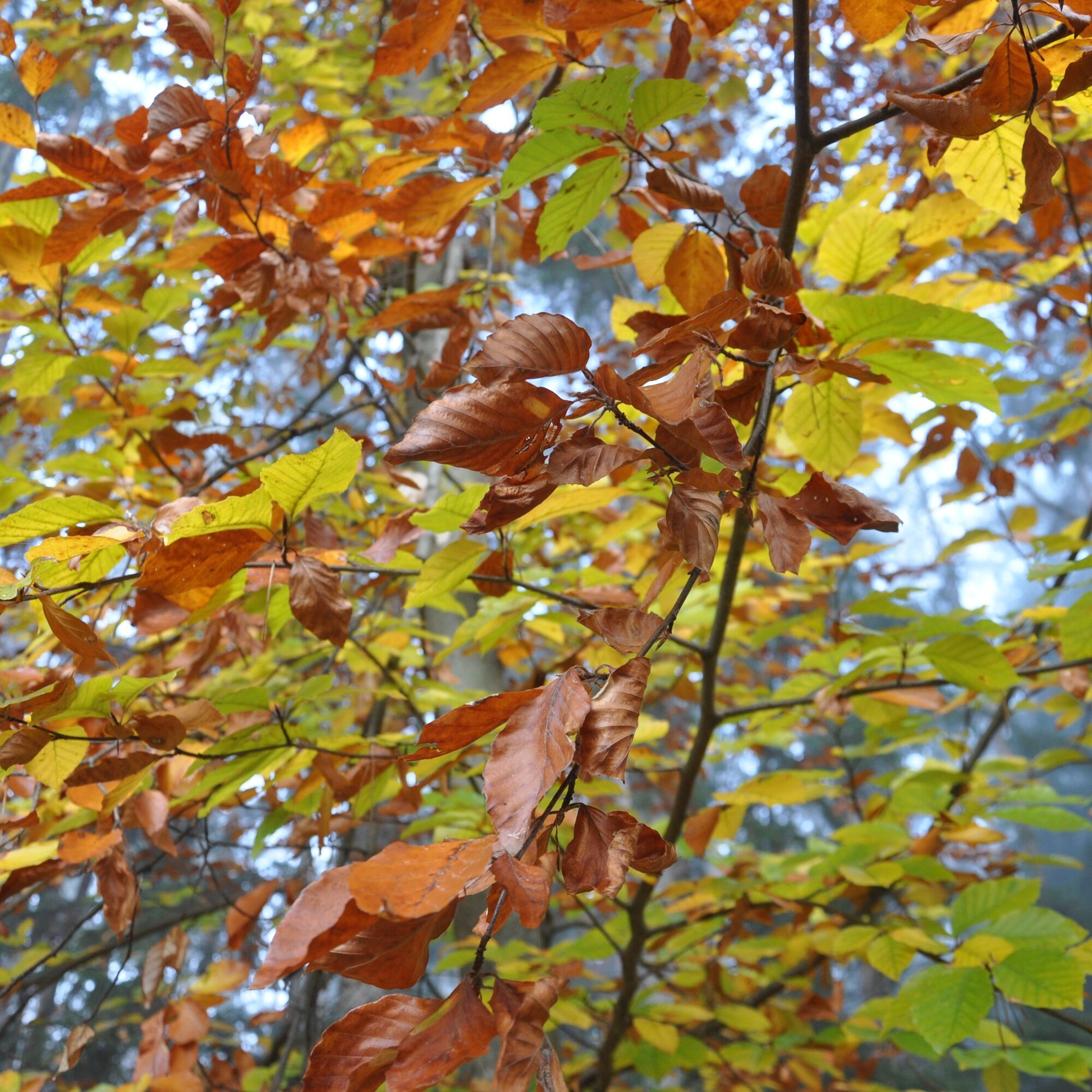
Pass a large grey house on the left and enter the forest. We follow the cross path until we come to a road. There we keep to the path that goes along the Way of the Cross.
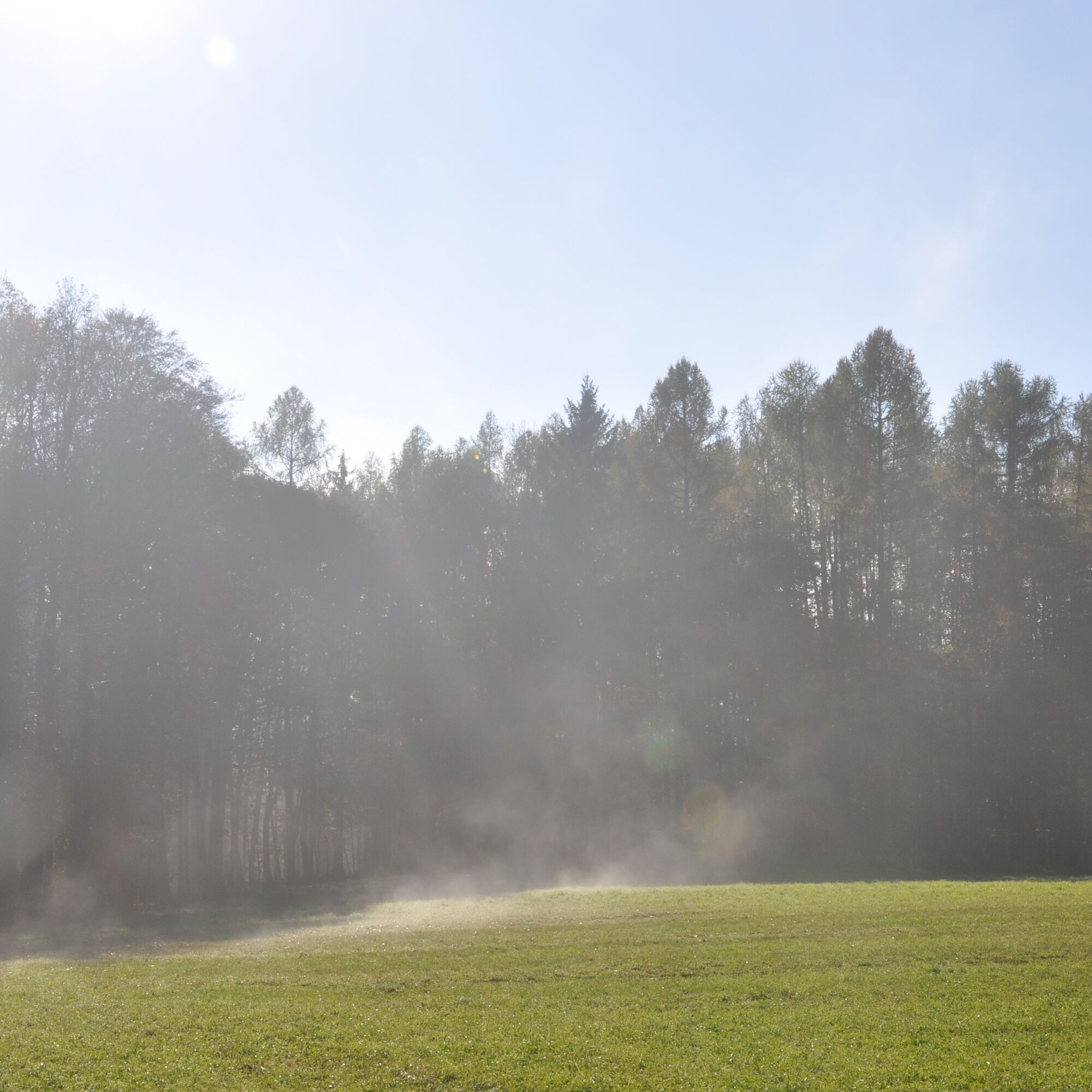
Soon we arrive at Calvary. We turn right onto the road and follow it until a forest appears on our right.
We go slightly up into the forest on the right and follow the path. Soon we reach a clearing and follow the path. When we reach the next road junction, we keep to the right and walk along the road for a while.
Soon we reach a section of forest again and turn sharp right here. We follow this path until we come out next to the Way of the Cross again.
We go back down the Way of the Cross and take the same path back to the municipal office. - Highest point
- 634 m
- Endpoint
-
Municipal office Thannhausen
- Height profile
-

- Equipment
-
Backpack with water bottle/thermos flask and provisionsMountain / hiking boots
Appropriate clothing - preferably several layers - "onion principle" on cool days: long hiking pants, gloves do not forget: Headgear, sunglassesrain protection, seat pad
Hiking stickscell
phone
First aid kit
Route description, detailed plan of the hike/hiking map/GPS device
Before the start of the hike, check the possibilities for refreshments, including opening times, or pack the appropriate food and drink - Safety instructions
-
Important telephone numbers:
Euronotruf: 112 Emergency call mountain rescue: 140 (if possible please give GPS data) Rescue: 144 Fire department: 122 Police 133The trail can be walked without any major difficulties and is therefore suitable for the whole family.
Tips for even more hiking pleasure: Rules of conduct when hiking
It is based on interpretations of hiking maps and personal experiences of hikers and mountain sports enthusiasts.
All descriptions are not to be regarded as official hiking guides, the TV Region Weiz assumes no liability for the descriptions, route planning and tours and it is therefore expressly recommended to use additional official map material from quality manufacturers, the Alpine Club, Friends of Nature and other mountain sports institutions for individual route planning.
Please remember that hiking, walking, climbing and mountaineering are outdoor sports that are influenced by the varying individual physical condition, the personal state of mind on the day, the weather and the seasonal ground conditions and many other general conditions and therefore careful route planning tailored to the respective situation is necessary for preparation.
We wish you an accident-free and eventful tour.
- Tips
-
Take some time and go on a spiritual journey in Thannhausen.
- Additional information
- Directions
-
The district capital of Weiz is located in eastern Styria and is very easy to reach via the A2 from Vienna (approx. 2 hrs) and from Graz (approx. 30 min).
- Arrival from Vienna and Graz: On the A2 from Vienna, take motorway exit 161 / Gleisdorf West in the direction of B54 / B64. Follow the B65 / Gleisdorfer Bundesstraße until you reach the B54 / Wechselbundesstraße. At the roundabout take the second exit to the B64 / Rechberg-Bundesstraße. After about 15 km you will reach the district capital Weiz.
- Arriving from Graz via the main road: take Kaiser-Franz-Josef-Kai and Wickenburggasse to Jahngasse / B67a. Follow the B72 to Weiz and take the exit towards Weiz -West.
From Weiz, then follow the road in the direction of Thannhausen. There you will find the municipal office Thannhausen on the left side.
- Public transportation
- Parking


-

-
AuthorThe tour Way of the Cross - Hike Thannhausen is used by outdooractive.com provided.


General info
-
Oststeiermark
2126
-
Weiz/St. Ruprecht an der Raab
1521
-
Thannhausen
325