- Brief description
-
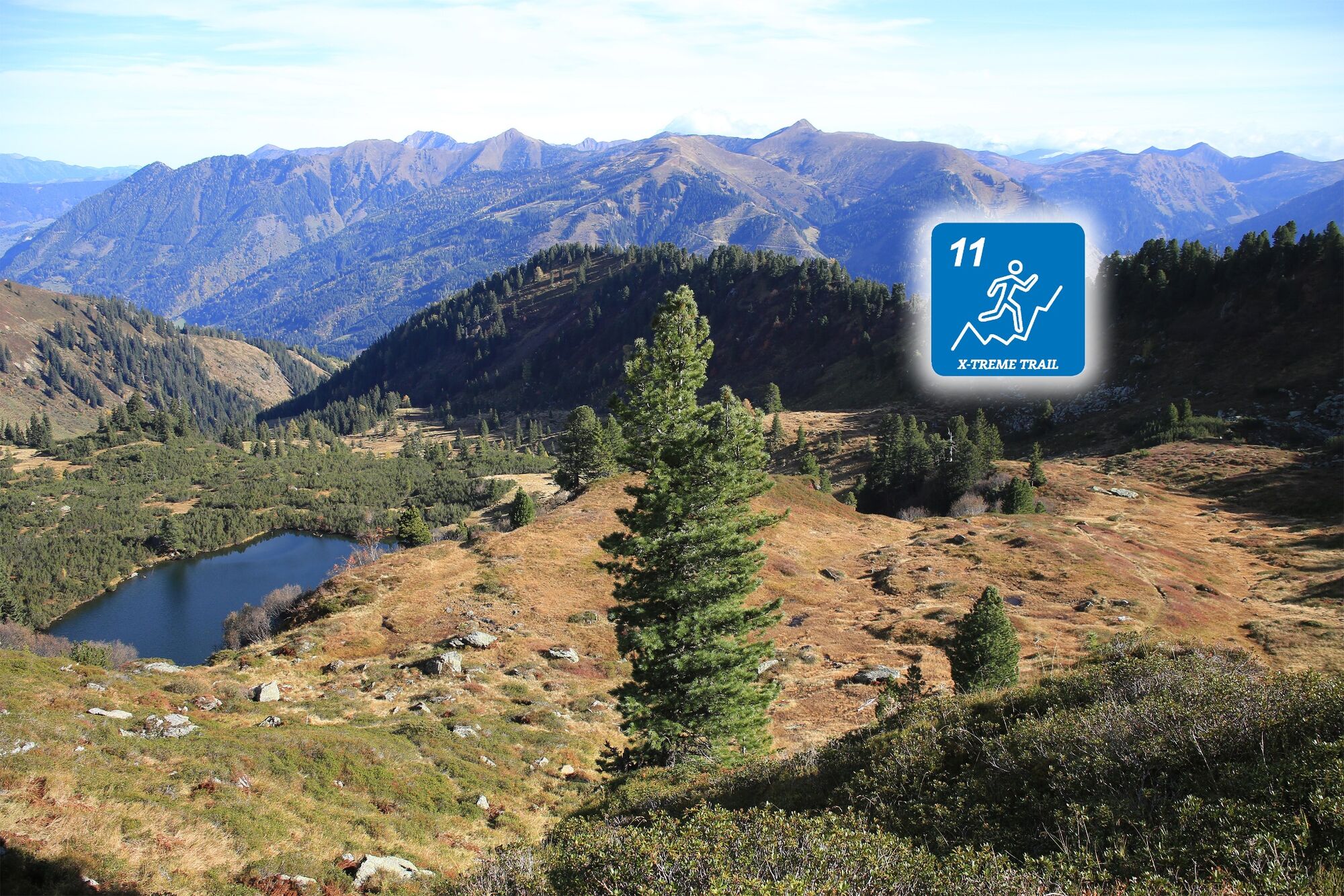
Pure single trail experience awaits us on 90% of the route and leads us over three peaks two alpine pastures and at the end past and gladly purely in `s summit bath at the high seat at 1800 meters.
- Difficulty
-
medium
- Rating
-
- Starting point
-
Middle station Riesneralm
- Route
-
Berghof0.1 kmFinsterkarspitz (2,022 m)3.7 kmGroßes Bärneck (2,071 m)4.4 kmSilberkarsattel4.6 kmSilberkarspitze4.7 kmGstemmerscharte (1,886 m)5.8 kmHintere Mörsbachalm (1,482 m)7.1 kmHochsitz8.8 km
- Best season
-
JanFebMarAprMayJunJulAugSepOctNovDec
- Description
-
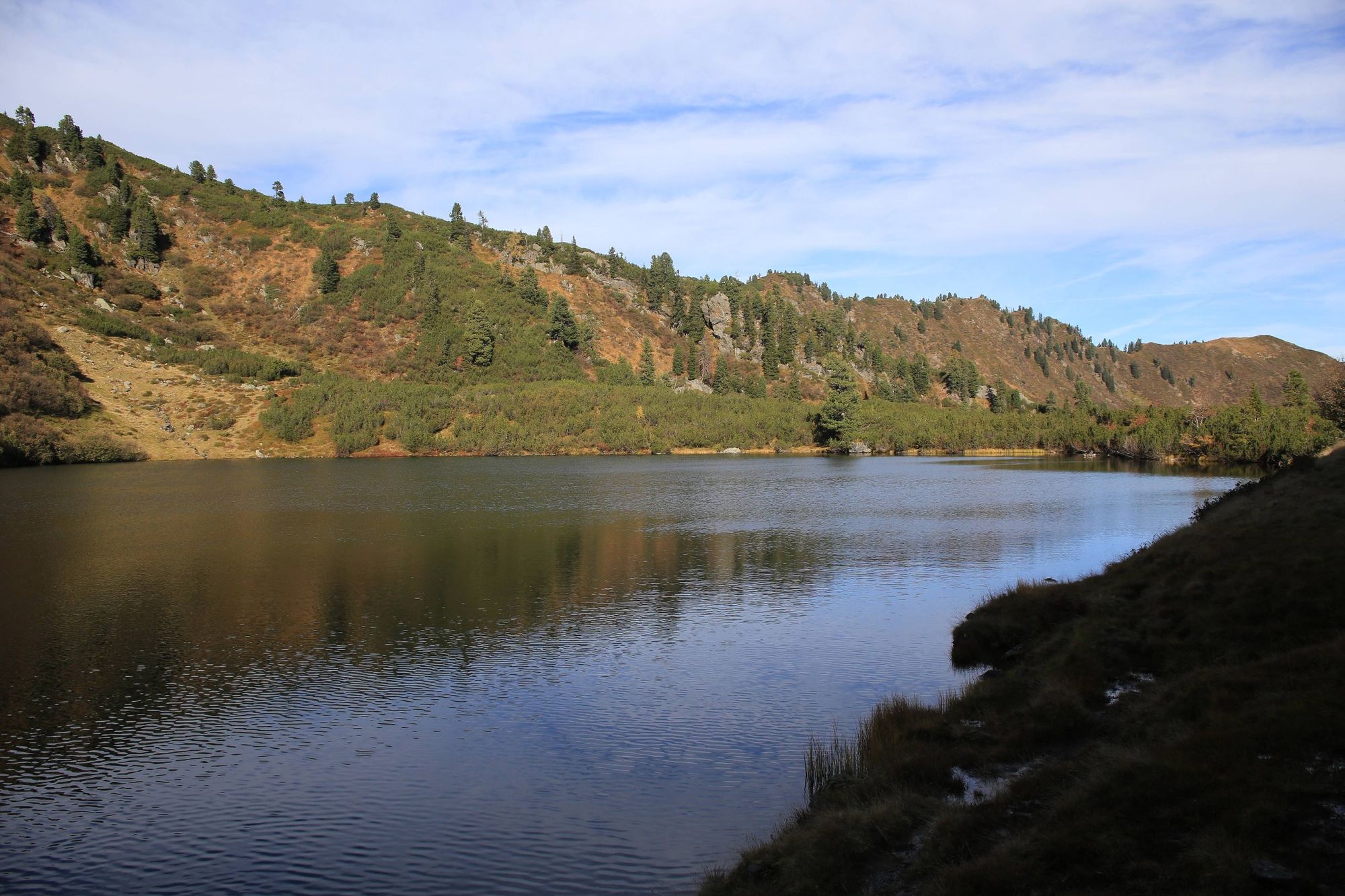
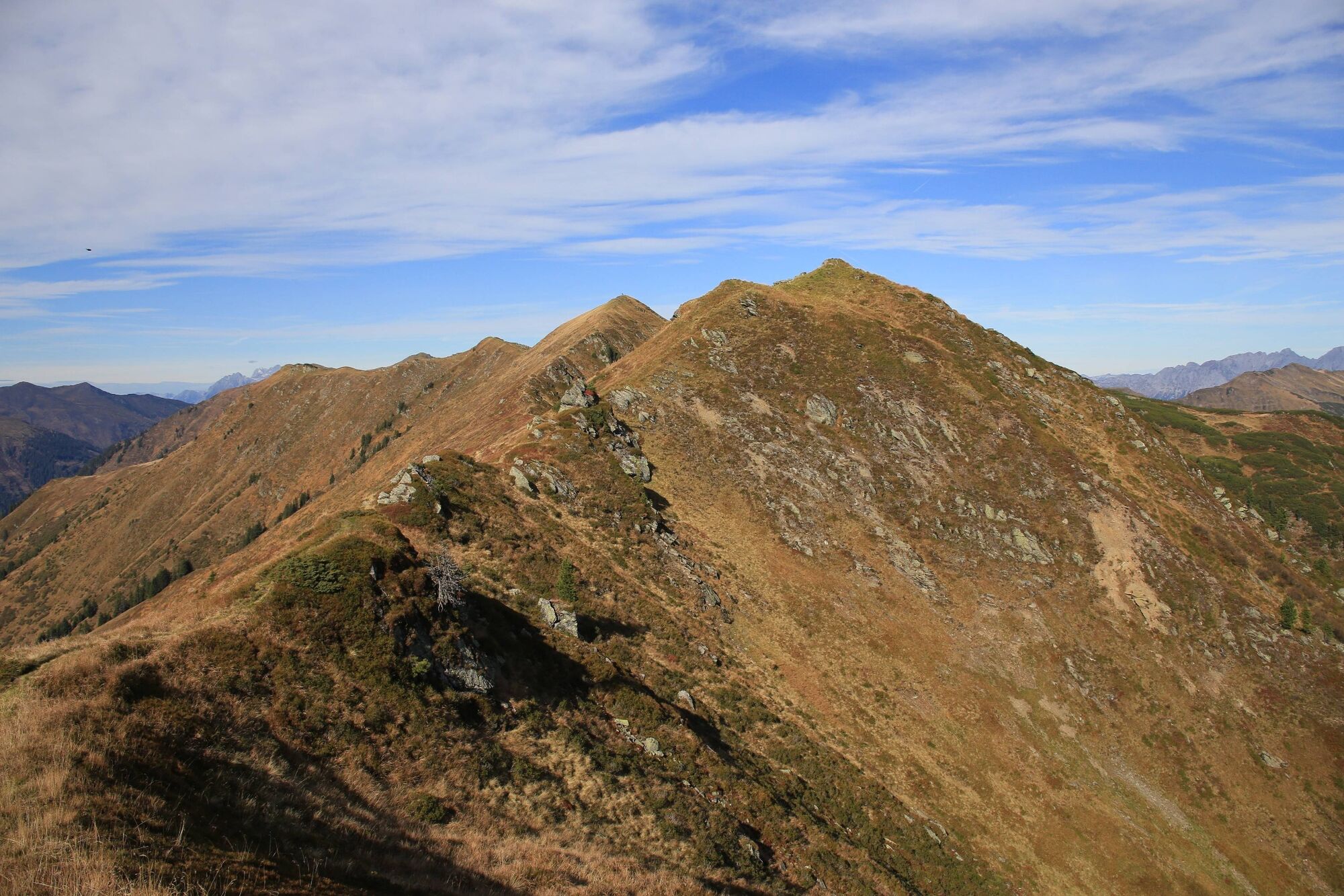
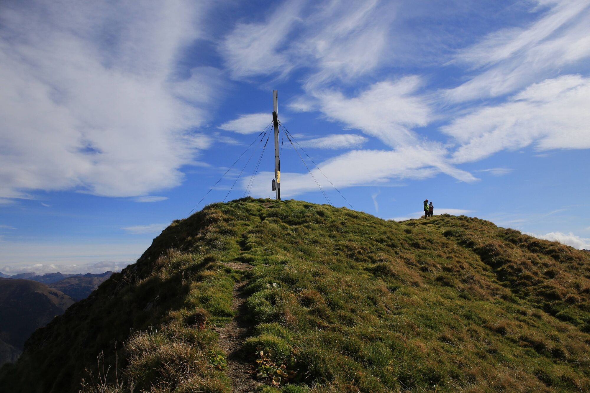
The cable car helps us a few hundred meters up to the middle station. There we get off and walk to the left into the larch forest and flat over to the Finsterkaralm. At the Finsterkarsee, the decision for a first rest is easy. Steadily and in the end in serpentines we reach the ridge that accompanies us from now on. The Finsterkarspitz is inconspicuous and is taken along pathless but offers a fascinating deep view of the Finsterkarsee. At Gr. Bärneck we have reached the highest point and certainly one of the best viewpoints. For the further course there are now three variants:
Along the track via Silberkarspitz to Gstemmerscharte and there follow the markings towards Hinteren Mörsbachalm. Continue to the Mößnascharte and walk via the Vordere Mörsbachalm on the described route to the Hintere Mörsbachalm and there continue to follow the track (+7,1 km, +380 hm) Walk from the Vordere or Hintere Mörsbachalm directly to Donnersbachwald and back to the parking lot Riesneralm (+2,5 km - Directions
-
Trail number: 11
- Highest point
- 2,064 m
- Endpoint
-
Middle station Riesneralm
- Height profile
-

- Equipment
-
Trail running shoes - no asphalt running shoes
Running backpack or vest depending on the length of the tour hydration bladder or softflasks
thin windbreaker
first aid kit, including emergency blanket
cell phone
energy bar
money
change of shirt
Headband
Sunglasses - Safety instructions
-
Plan your trail in advanceInform yourself about the course of the trail and its demands
Pay attention to weather forecasts and weather changes
Let others know where you are going
Adapt your equipment to the weather and the trail
Be aware of livestock when crossing pastures - Additional information
-
Tourism information: www.schladming-dachstein.at
Tourism blog: www.derbergdastal.at
www.schladming-dachstein.at/de/Sommer/Wandern-und-Bergsport/Laufen-und-Trailrunning
Tourist Office Schladming-Dachstein
Ramsauerstrasse 756
8970 Schladming
T: +43 3687 23310
Garbage on meadows and paths can not smell mountain and valley. Please take it with you. Agriculture and forestry are important partners for Berg und Tal. They allow you to walk and drive on many of their paths. Be aware that only good cooperation will guarantee your recreational enjoyment in the future.
- Directions
-
Coming from the B320, at the Trautenfels intersection in the direction of Irdning. Then direction Donnersbach, Donnersbachwald.
- Parking
-
Free parking at the bottom station Riesneralm

-

-
AuthorThe tour Summit Trail Riesneralm is used by outdooractive.com provided.