

- Brief description
-
The Bernhard Knauss Run takes you to the upper part of Rohrmoos along the Mushroom Nature Trail and Fairytale Trail.
- Difficulty
-
easy
- Rating
-
- Starting point
-
Schwaigerweg road, Rohrmoos
- Route
-
Tauernalm3.0 kmAlter Stadl3.0 kmHoo-Ruck Alm Rohrmoos4.8 km
- Best season
-
JanFebMarAprMayJunJulAugSepOctNovDec
- Description
-
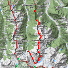
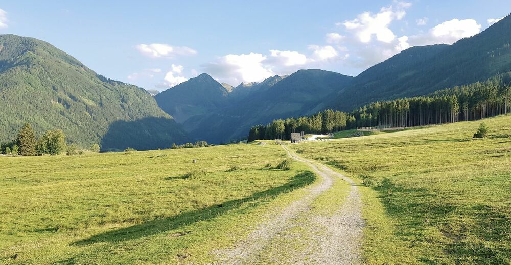
The run starts at the old sawmill "Aussacher Säge" at the turnoff of Schwaigerweg and takes you uphill to hotel Winterer and back. The run has an elevation change of 339 m and is 8.2 km long. For the most part the trail is made up of meadow trails as well as forest roads and trails. A small part (at the start and the end) is paved road.
The run is named after Bernhard Knauss, who was a successful Alpine skier in the Amercian US-Pro tour where he was 6 times World Champion and 3 times winner of the overall standings.
- Directions
-
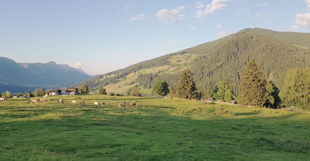
From the starting point you start downhill along the road for about 100 meters and then make a right onto the gravel trail taking you up to "Rohrmooser Frei" meadows via the "Schussbühel" waypoint. You run across the meadow and at the valley terminal of Obertalbahn cable-car you make a right and run uphill to the next forest road. This is the lower part of "Mushroom Nature Trail" and you make a left and run through the forest until you reach the "Mushroom Town" of this theme trail. There, you make a right and - first along a well maintained forest trail, then a forest road - continue to the valley terminal of Gipfelbahn Hochwurzen cable-car.
You pass by at the terminal and start running uphill again, making a left at the mountain terminal of Rohrmoos II chair-lift, continuing on trail #60. At the trail intersection of trail # 60 (located in the middle of a big forest clearing) you continue to the right (4-seasons trail). The beautiful forest and meadow trail takes you to hotel Winterer. Passing by at two cable-car terminals you continue downhill to the Hohenbergstraße road. Make a left, run along the road for about 100 meters and then you take off right again and run downhill to the Lanshof farm. A short section on paved road takes you to Haus Strobl where the fairytale trail begins. This nicely groomed forest and meadow trail takes you back to hotel Schwaigerhof and your starting point.
- Highest point
- 1,306 m
- Endpoint
-
Schwaigerweg road, Rohrmoos
- Height profile
-

- Equipment
-
Trail running shoes are recommended.
- Safety instructions
-
Bernhard Knauss is an EASY trail run. It is perfect for runners who want to have a first-time experience in running trails with different surface. The technical difficulties (in respect to trail running) are minimal and an average sportsman will easily be able to run this route.
GPS data and orienteering
Available GPS data - just like hiking maps - is only a guidance for orientation and can never depict a trail exactly with all its details. Especially at dangerous spots it is essential to judge on site how to proceed.
In an emergency please call:
140 - for Alpine emergencies (all over Austria) 112 - European GSM emergency number - Tips
-
You can combine this trail run with the Rohrmoos Trail or the Hochwurzen Trail.
- Additional information
- Directions
-
From Schladming take provincial highway L722 (Rohrmoosstraße road) to Rohrmoos and continue straight on at the roundabout until you reach the turnoff "Schwaigerweg" road after about 1.5 kms.
- Public transportation
- Parking
-
Parking is available at the starting point.


-

-
AuthorThe tour Bernhard Knauss Trail is used by outdooractive.com provided.