- Brief description
-
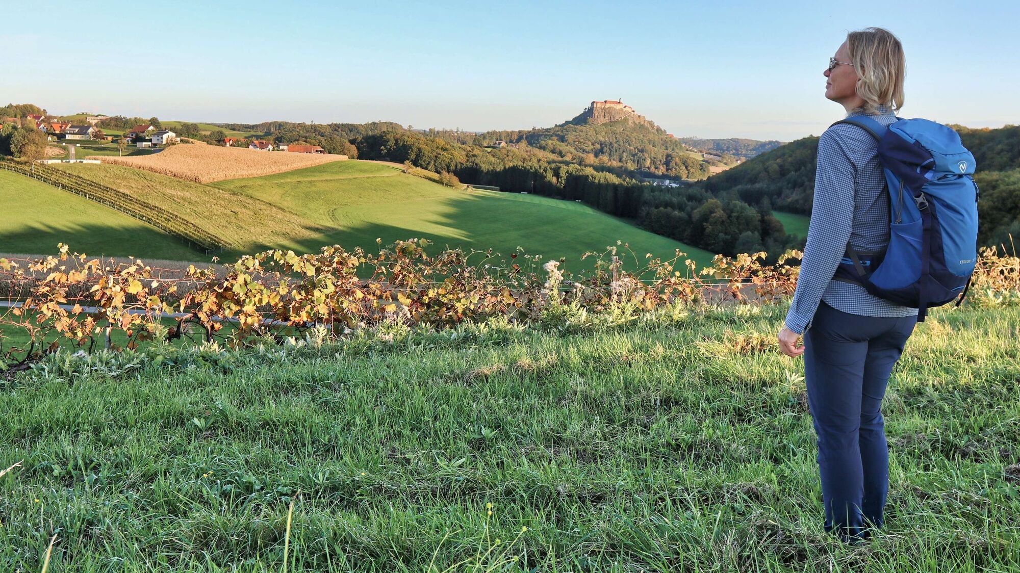
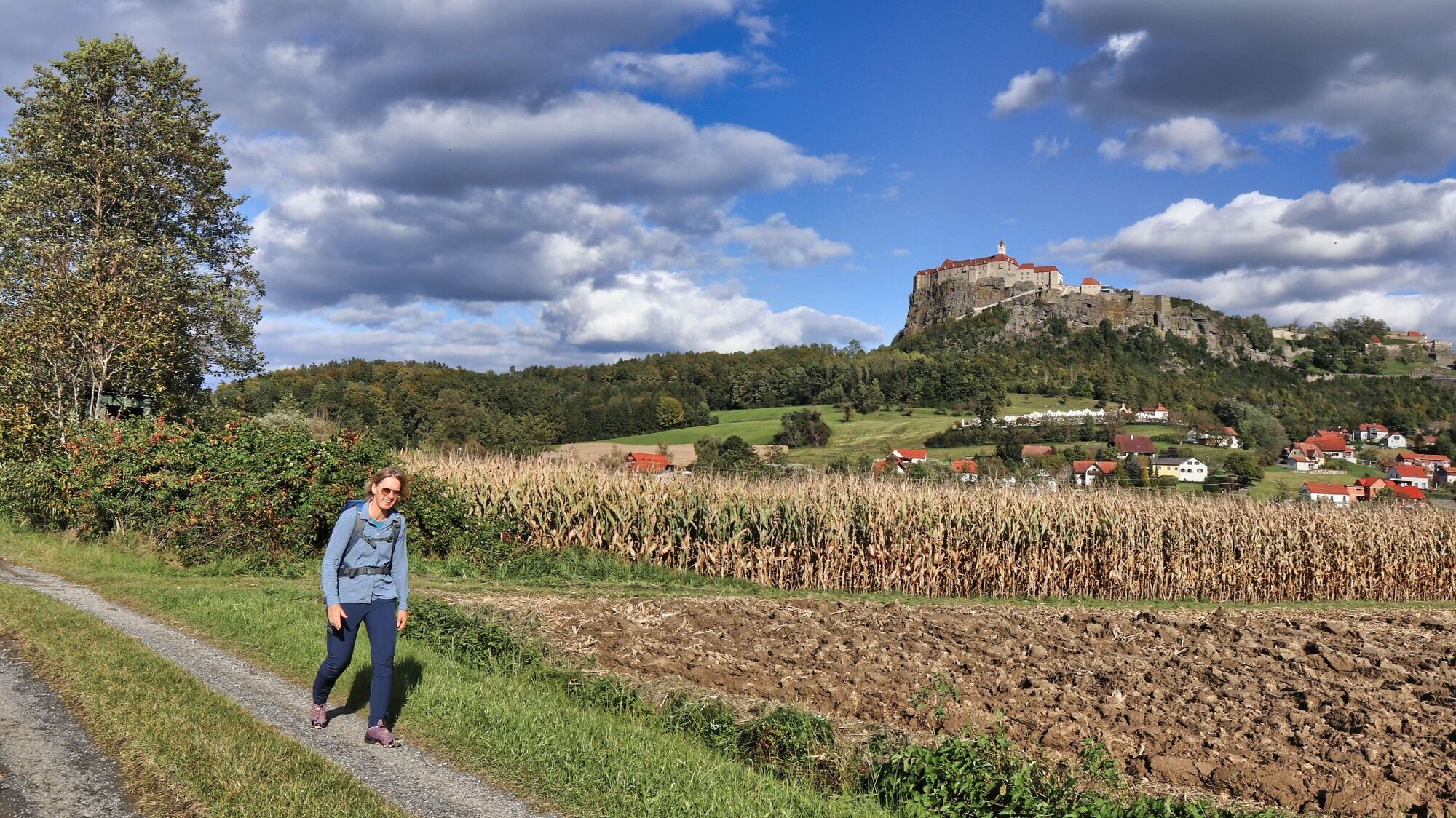
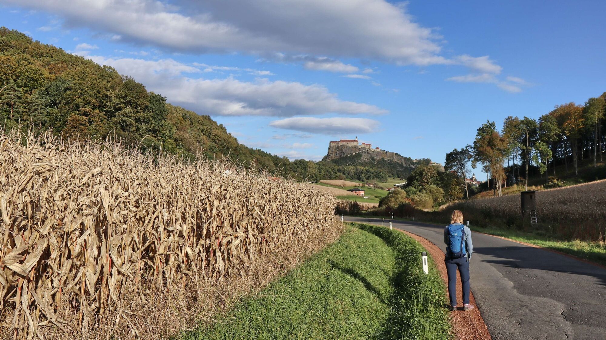
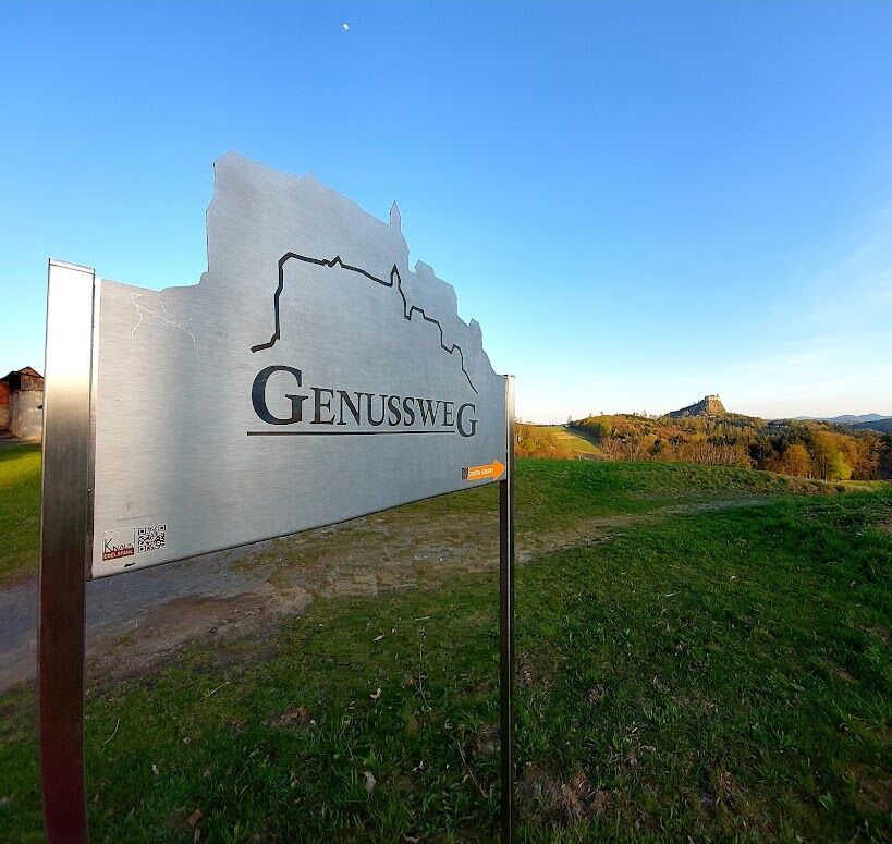
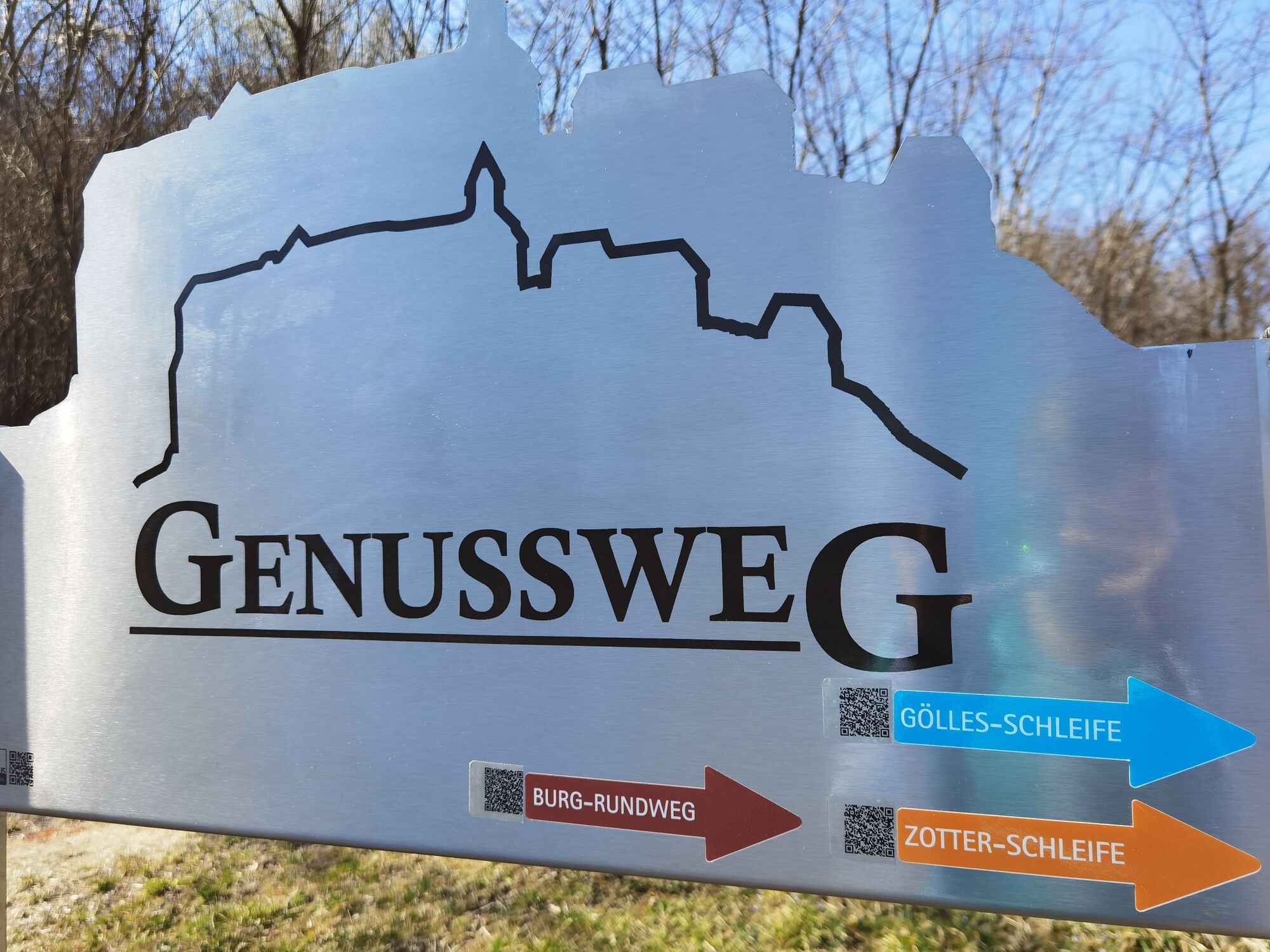
Pleasure hiking in southeast Styria - with the "Zotterschleife" you get to know one of the three pleasure hiking trails around the more than 850 years old Riegersburg.
- Difficulty
-
easy
- Rating
-
- Starting point
-
Center of Riegersburg
- Route
-
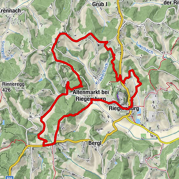
Pfarrkirche Sankt Martin0.1 kmRiegersburg0.2 kmAltenmarkt bei Riegersburg1.2 kmFröhlichberg3.0 kmAltenmarkt bei Riegersburg6.7 kmSengberg (424 m)7.0 kmSteinberg8.9 kmGroßstatzenberg10.3 kmBuschenschank Eibel10.3 kmRiegersburg14.4 km
- Best season
-
JanFebMarAprMayJunJulAugSepOctNovDec
- Description
-
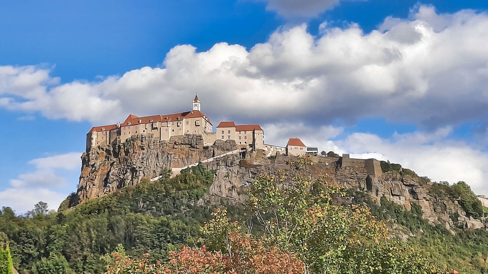
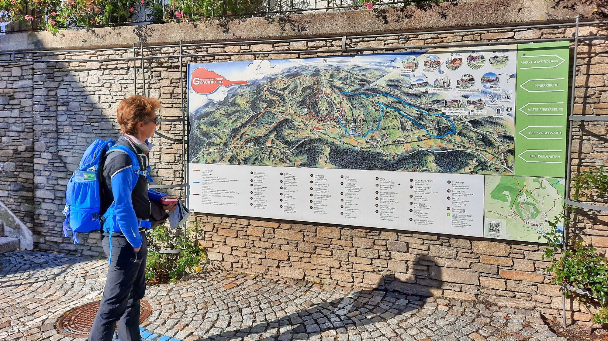
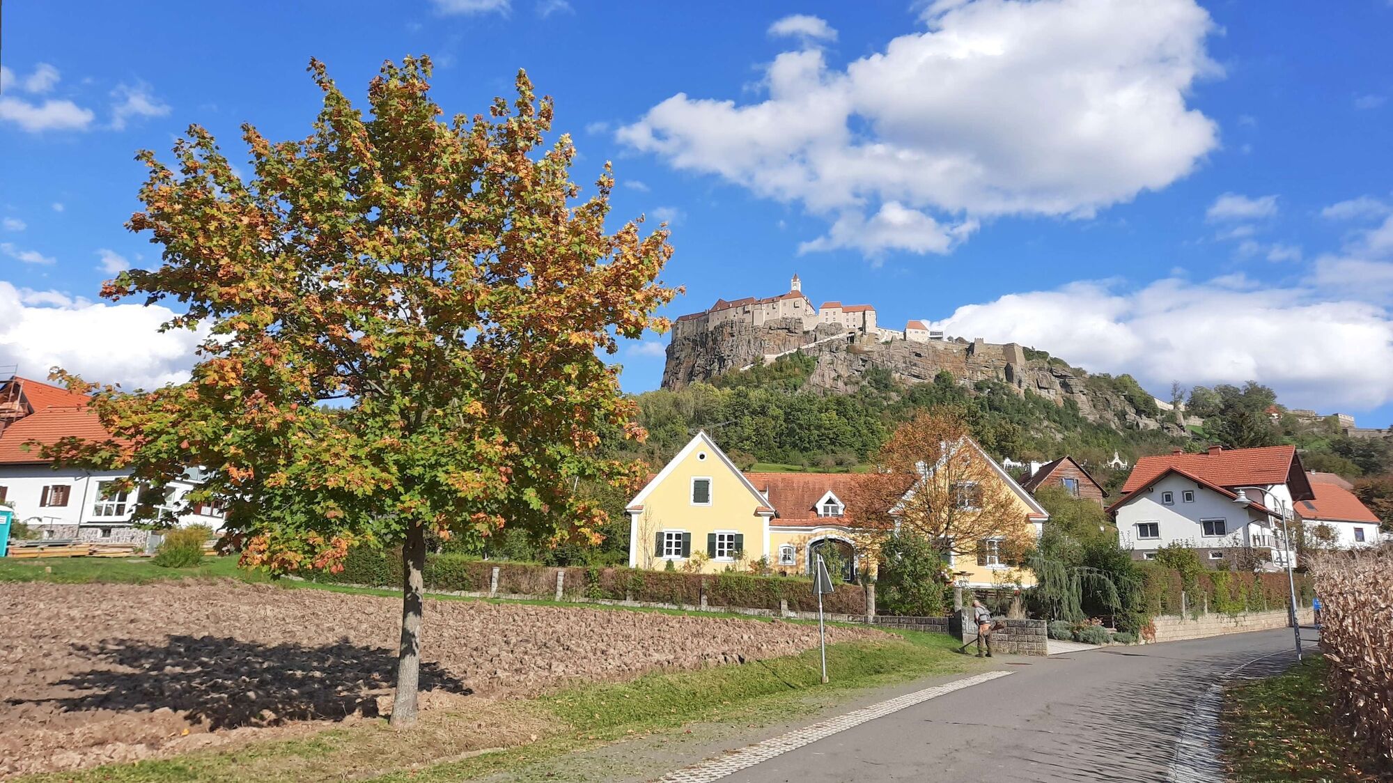
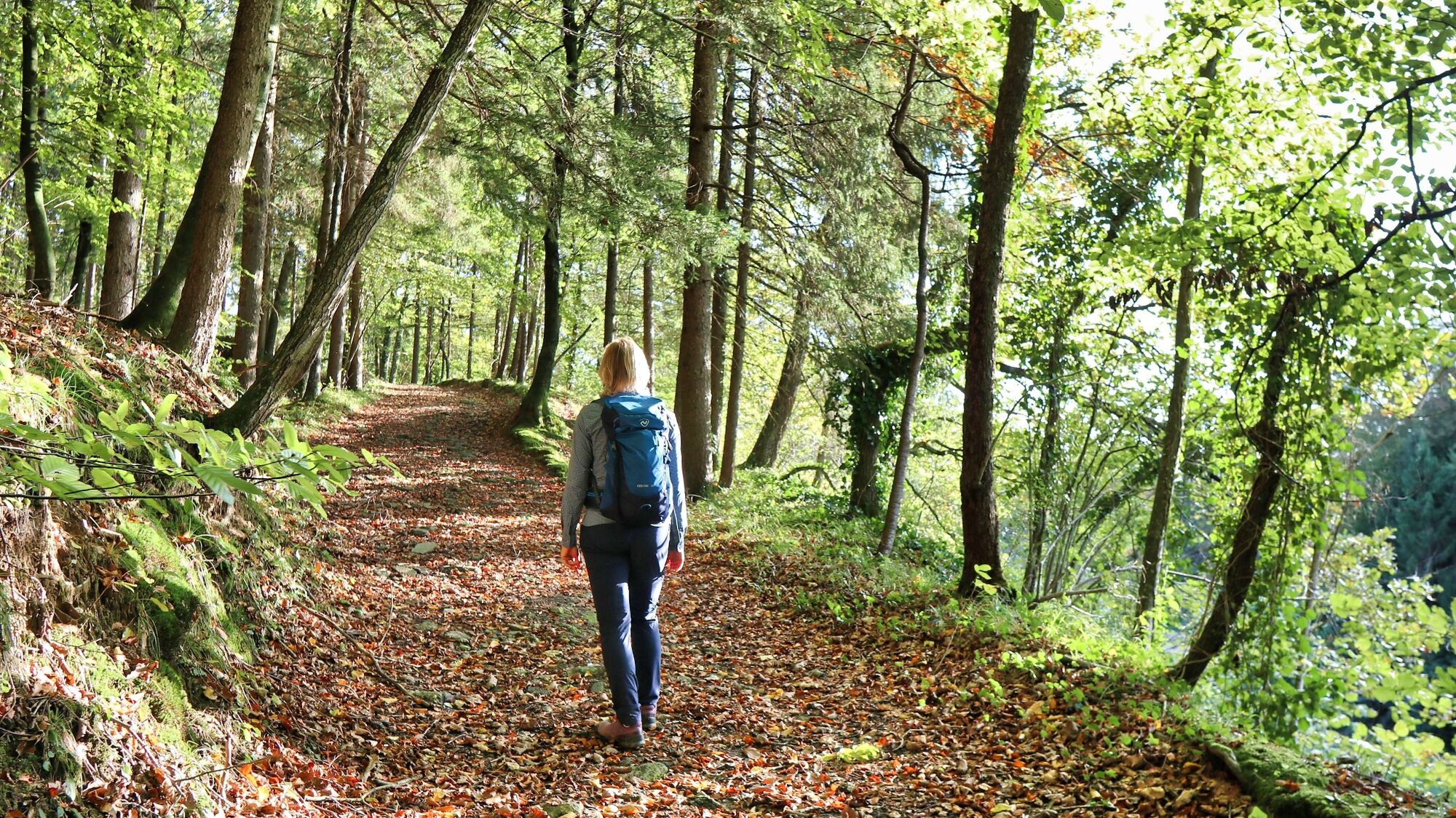
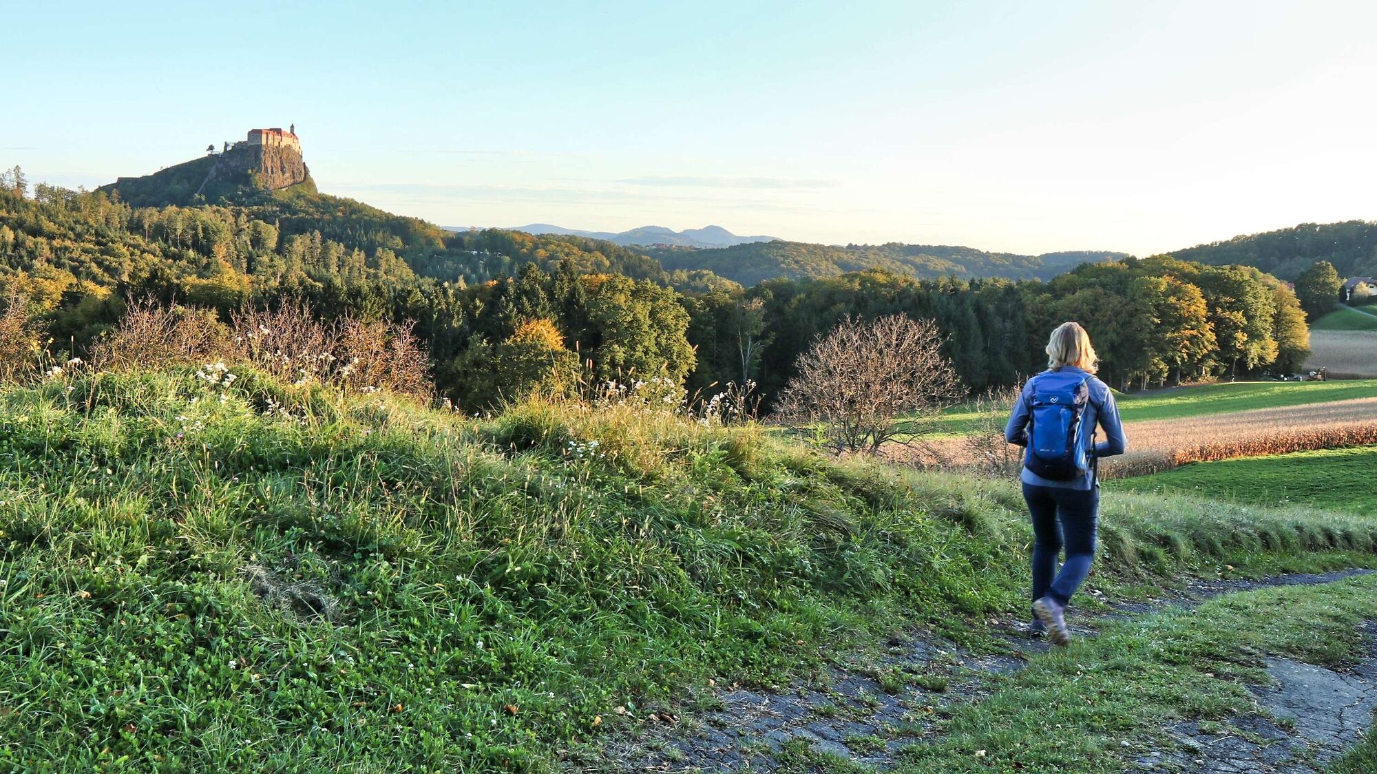
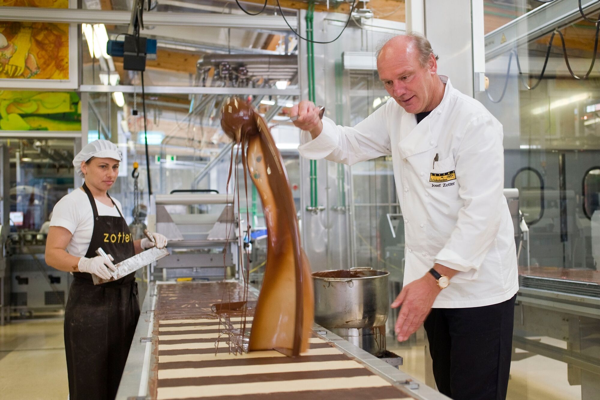
If on the one hand it is the enjoyment of nature in the soft-formed landscape, on the other hand there is the sweet pleasure provided by the famous Zotter chocolate manufactory. This hiking tip starts at the Riegersburg information office, where a free hiking brochure (Riegersburger Genussweg) is available. The "Zotter Loop" takes you to the west and northwest of the market town of Riegersburg, passing the Zotter chocolate factory, the "Vulkanland Sekt Kulinarium", the Genusshotel Riegersburg and the valley station of the panorama lift. If you would like to include a visit to Riegersburg Castle in your hike, you should skip the last part and use the lift to ascend to the castle (€ 6). Via the castle you then hike comfortably back to the starting point.
- Directions
-
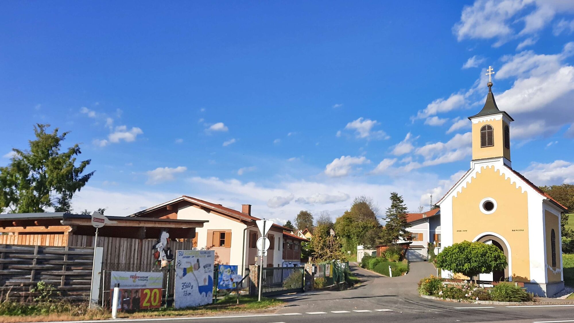
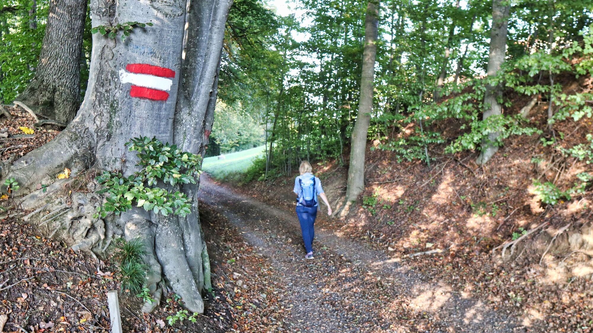
We start at the information center of Riegersburg (1), 377 m, walk slightly uphill in the direction of the center and the castle walkway. Passing the marketplace and several stores, we reach a crossroads, where we keep left and after a short time we reach a traffic circle, where we continue straight ahead. Pass the Altenmarkt b.R. town sign and immediately turn left into a side street. After the bridge we continue to the right along the asphalt road. We hike comfortably uphill, past a few houses, to reach a gravel road in succession. After a forest section we reach an asphalt road again, which takes us directly to the Zotter Schoko-Erlebniswelt (2), 392m. The hiking trail leads us to the right along the road until we reach the Kulinarium, where we again keep to the right to go downhill along meadow and forest paths. Once we reach the valley floor, we keep to the right and follow the asphalt road. We see the Riegersburg castle directly in front of us, turn left at the next junction and shortly afterwards turn right into the forest. From now on, the trail goes uphill through a beautiful piece of forest. When we reach an asphalt road, we keep to the left and walk along the road surrounded by orchards and vineyards. After going slightly downhill, we turn right at the next crossroads. The view convinces us, as we can see the Riegersburg on one side and the Schöckl on the other. We hike along well-kept cultivated areas and a sparsely populated area and have the Riegersburg almost always in front of our eyes. Passing the Genusshotel Riegersburg (3), 391 m, we soon turn right onto a meadow path. Now follows a section over fields and meadows downhill and subsequently through the forest slightly uphill until we reach the parking lot of the Riegersburg (4), 400 m. We see the sign "Fußweg Zentrum" on the opposite side of the road, so we cross the road and now hike slightly downhill. The way back leads across farmland and meadows back to the starting point.
- Highest point
- 441 m
- Endpoint
-
Center of Riegersburg
- Height profile
-

- Equipment
-
Proper backpack packing makes many things easier: Pack heavy things first. The water bottle should always be within reach in a side pocket. All the things that are often needed, such as sunglasses, camera or hiking map, belong on top. An emergency kit, including blister plasters, belongs in every rucksack and it is always advisable to dress in layers.
- Safety instructions
-
Alpine emergency call: Mountain rescue emergency number: 140, EU emergency number: 112
Weather service: www.zamg.ac.at
Direct link mountain weather Styria: https://www.zamg.ac.at/cms/de/wetter/produkte-und-services/bergwetter/steiermark
Emergency call mountain rescue: 140
ambulance: 144
European emergency call: 112
firefighters: 122
police: 133Tips when reporting an emergency – Answer these six WH questions: What happened? How many people are injured? Where did the accident happen (are there GPS coordinates)? Who is reporting the incident (callback number)? When did the accident happen? What is the weather like at the site of the incident?
- Tips
-
Enjoy the culinary highlights around Riegersburg, several Buschenschänken invite you to a cozy snack after the hike.
- Additional information
-
Refreshment stops in the center - Riegersburg
Lasslhof - The Inn, Tel.: +43 3153 71094, 8333 Riegersburg 20, www.lasslhof.at
Cafe Restaurant Pizzeria Seehaus, Tel.: +43 3153 72106, 8333 Riegersburg 205, www.seehaus-riegersburg.at
Kutscherstüberl Wallner, Tel.: +43 664 504 1946, 8333 Riegersburg 190, www.kutscherstueberl.at
Riegersburg Tavern, Tel.: +43 3153 82132, 8333 Riegersburg 1
Castle cafe, Tel.: +43 3153 71417, 8333 Riegersburg 30
Tourist office Thermen- & Vulkanland
Guest information Riegersburg
Riegersburg 87
8333 Riegersburg
Tel.: +43 3382 55 100-33
riegersburg@thermen-vulkanland.at
www.thermen-vulkanland.at - Directions
- Public transportation
-
Detailed information about arriving by ÖBB (Austrian Federal Railways) can be found at www.oebb.at or on the Verbundlinie Steiermark website www.busbahnbim.at
With Verbundlinie’s BusBahnBim route planner app, planning your journey has never been easier: simply enter towns and/or addresses, stop names or points of interest to check all bus, train and tram connections in Austria. The app is available free of charge for smartphones – on Google Play and in the App Store
- Parking
-
Several parking spaces in the place


- Author
-
The tour Zotter-Schleife Genusswanderweg Riegersburg is used by outdooractive.com provided.


General info
-
Oststeiermark
2126
-
Feldbach
408
-
Riegersburg
123