
- Brief description
-
The needs and habits of the local game are described on information boards. With a little luck you can see deer in meadows and fields.
- Difficulty
-
easy
- Rating
-
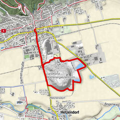
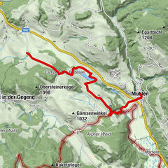
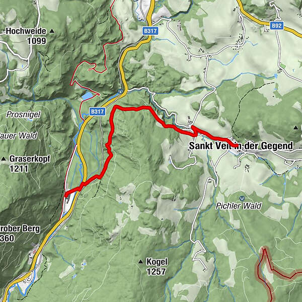
- Starting point
-
St. Veit in the area
- Route
-
Sankt Veit in der GegendUnterviertel0.7 kmWildbad Einöd4.7 km
- Best season
-
JanFebMarAprMayJunJulAugSepOctNovDec
- Description
-
They emerge early in the morning or at dusk. Fawns are so well camouflaged by their fur pattern that they are almost invisible in the tall grass. In case of danger, they remain motionless so as not to be discovered.
- Directions
-
From Gasthof Krapinger go straight ahead towards Velden. When you arrive in Velden, turn left almost 360 degrees and take the second exit on the right. From there the path leads through the forest to Wildbad Einöd. You stick to path number 13. In Wildbad Einöd then the pedestrian underpass under the main road and directly to the Wildbad thermal baths.
- Highest point
- 914 m
- Endpoint
-
Therme Wildbad
- Height profile
-

- Equipment
-
Good shoes
Sun protection
Sufficient food - Tips
-
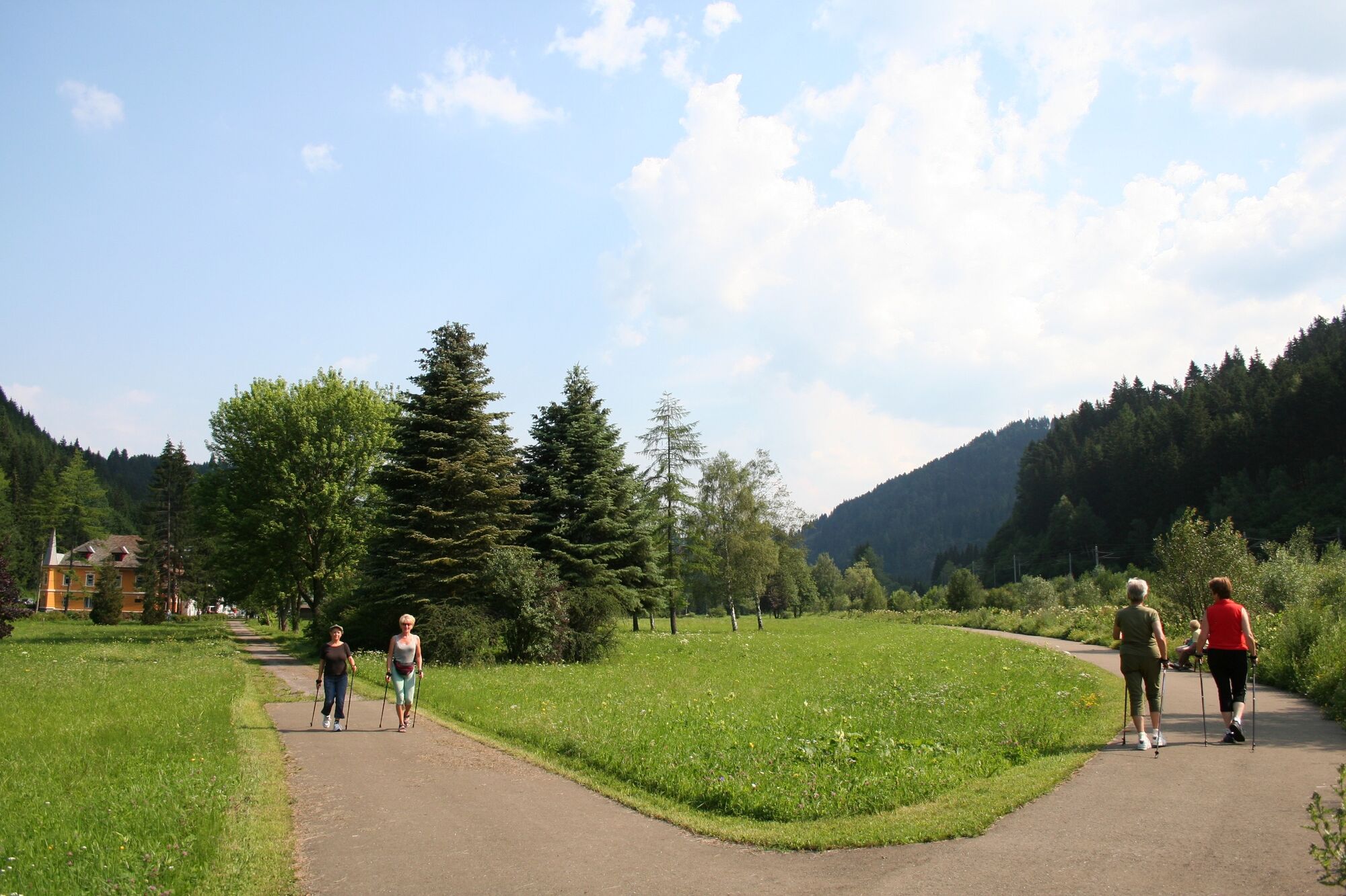
This themed trail is particularly suitable for families and children.
- Additional information
-
The ideal time for this tour is from April to October.
- Directions
-
By car from Germany
From Munich via the A8 towards Salzburg. From Salzburg on the A10 Tauernautobahn to St. Michael im Lungau. On the B 96 to Tamsweg, then on the B 95 to Predlitz. The B 97 leads via Stadl/Mur to Murau. There at the roundabout towards St. Lambrecht to Murauer train station and further towards St. Lambrecht. Via Laßnitz near Murau you reach St. Lambrecht, which is already located in the Zirbitzkogel-Grebenzen Nature Park. From there continue towards Mariahof and Neumarkt. In Mariahof turn right towards Neumarkt. Continue towards Carinthia. The strat point is in St. Veit in the area.Arrival from Eastern Austria/Hungary
At the motorway junction in St. Michael near Leoben, take the S 36 towards Klagenfurt. Past Knittelfeld and Judenburg to Scheifling. In Scheifling continue towards Klagenfurt. The starting point is in St. Veit in the area.Arrival from southern Austria/Italy
Via Klagenfurt on the S 37 past St. Veit/Glan, Treibach and Friesach. In Friesach continue towards Vienna, via Dürnstein to St. Veit in the area. - Public transportation
-
With the BusBahnBim app from the interconnected line, timetable information is easier than ever before: all bus, train and tram connections in Austria can be queried by entering locations and/or addresses, stops or important points. The app is available as a free app for smartphones (Android, iOS) - on Google Play and in the App Store.
- Parking
-
Public parking spaces are available in the area in St. Veit.
- Author
-
The tour St. Veiter wildlife trail is used by outdooractive.com provided.