
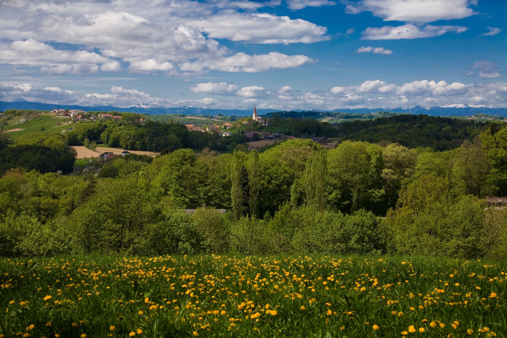
- Brief description
-
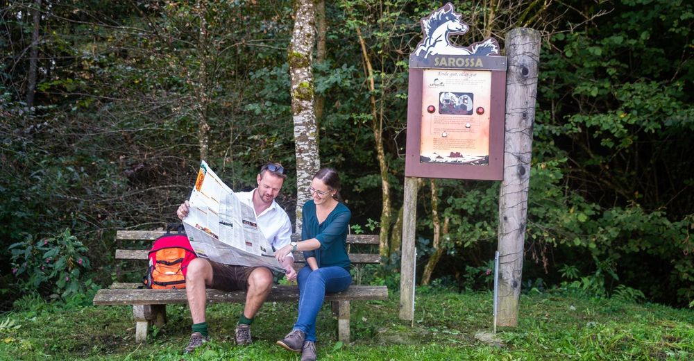
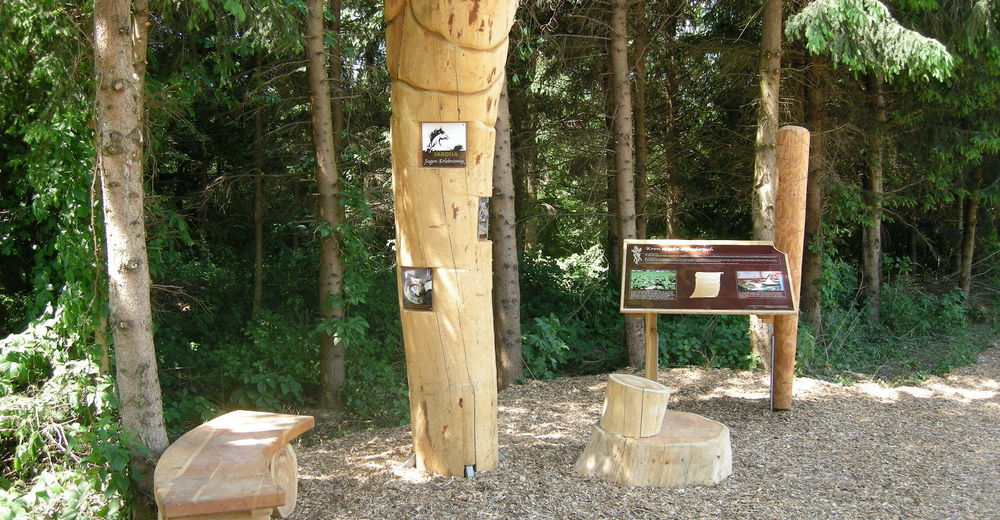
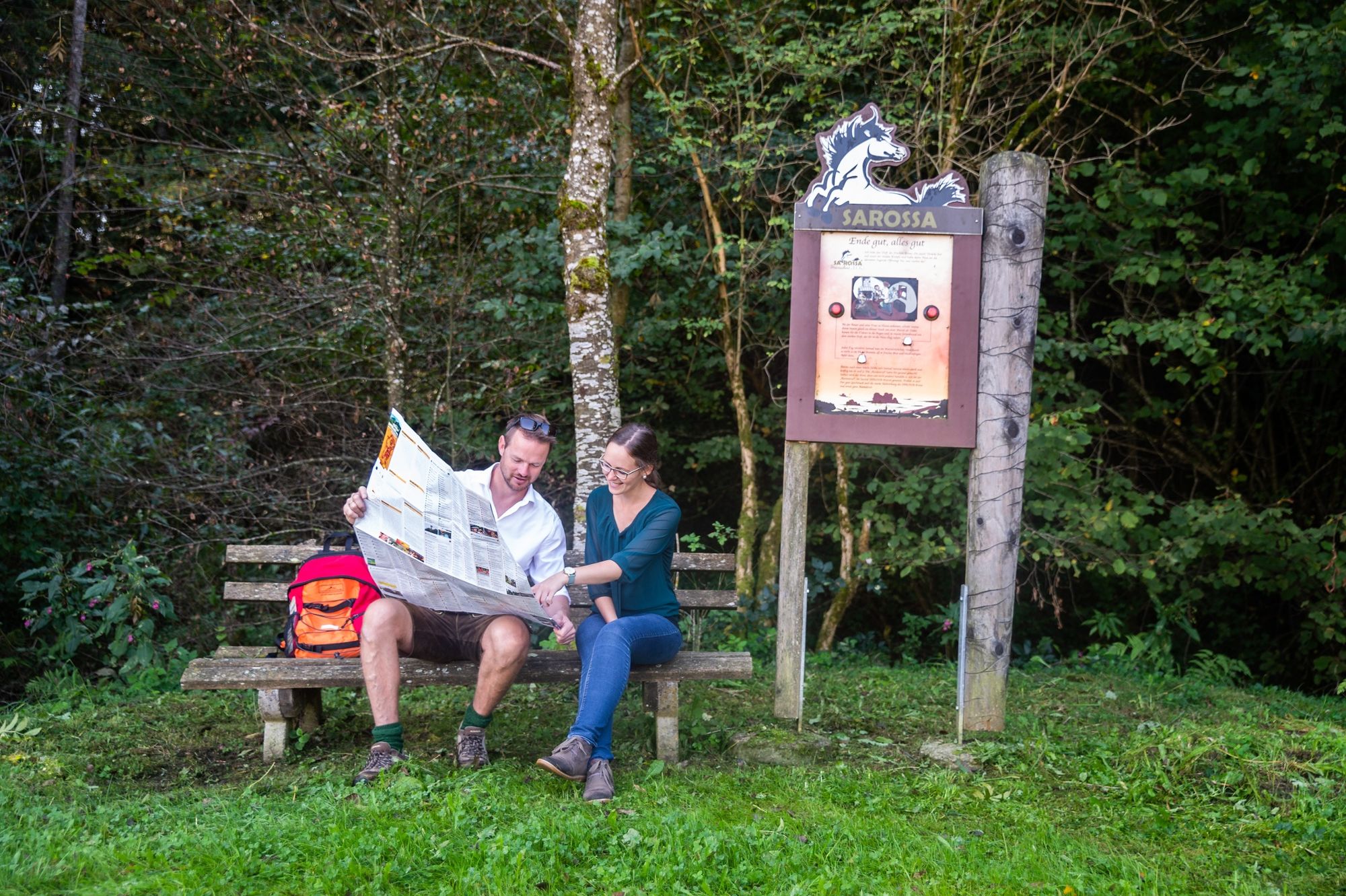
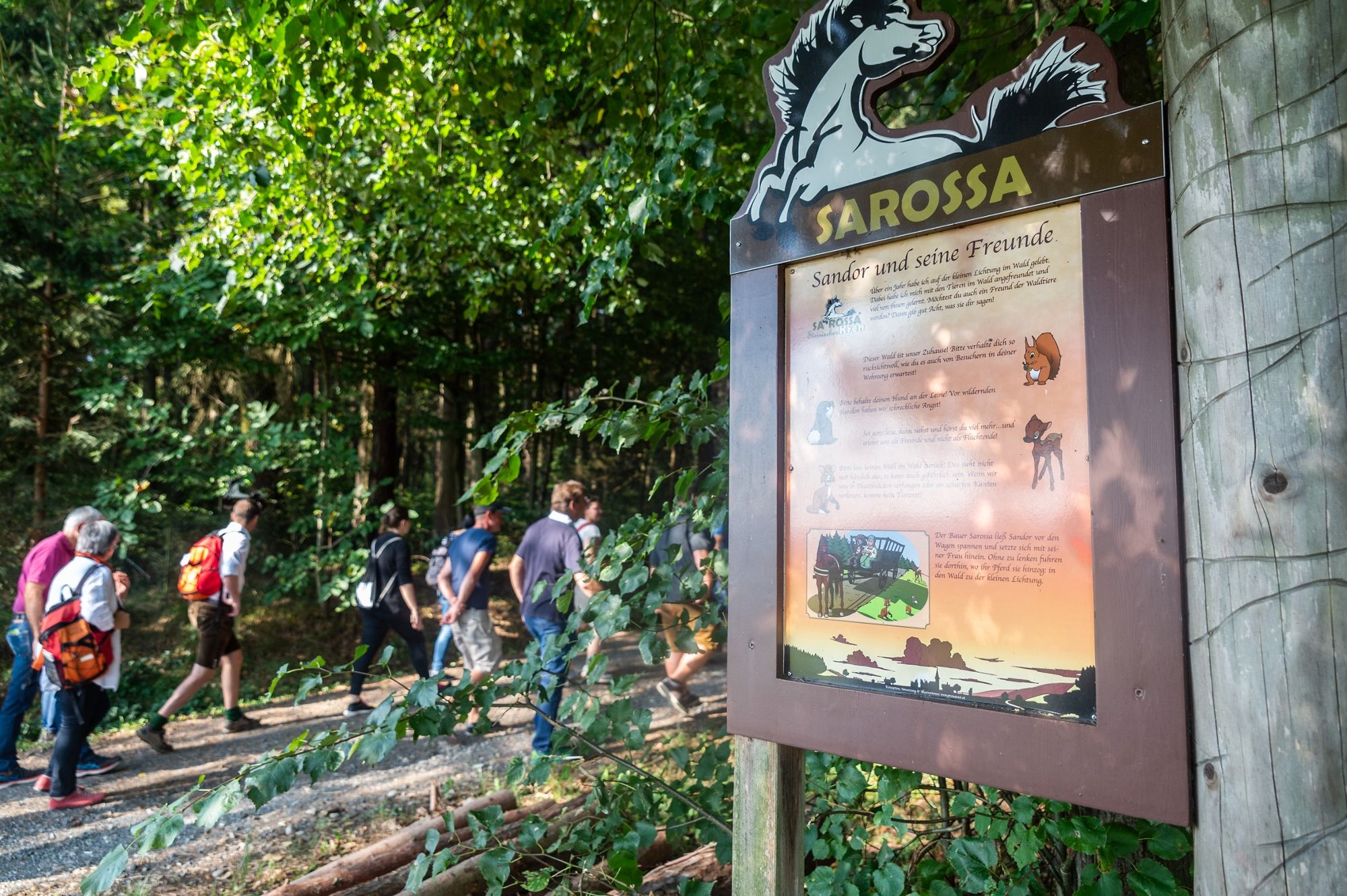
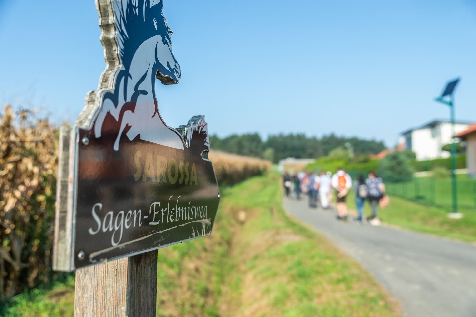
On the Sarossa horseradish trail, interesting facts about horseradish are explained at several stations along the way.
- Difficulty
-
easy
- Rating
-
- Starting point
-
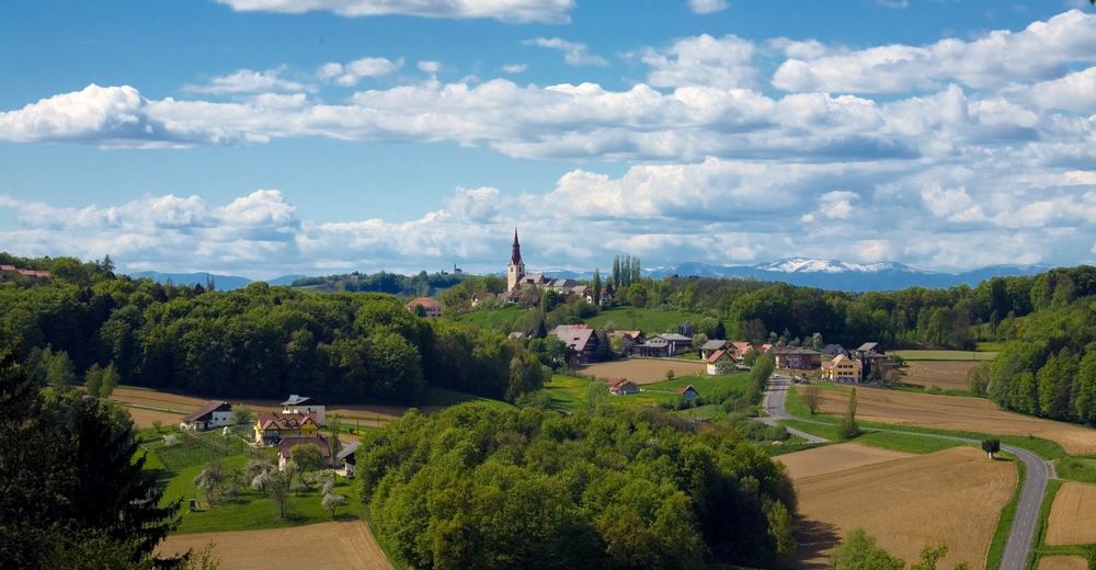
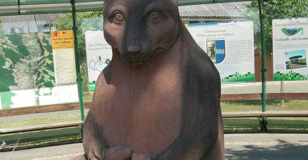
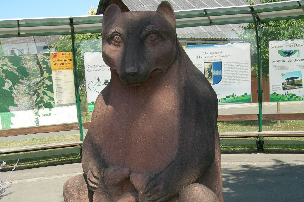
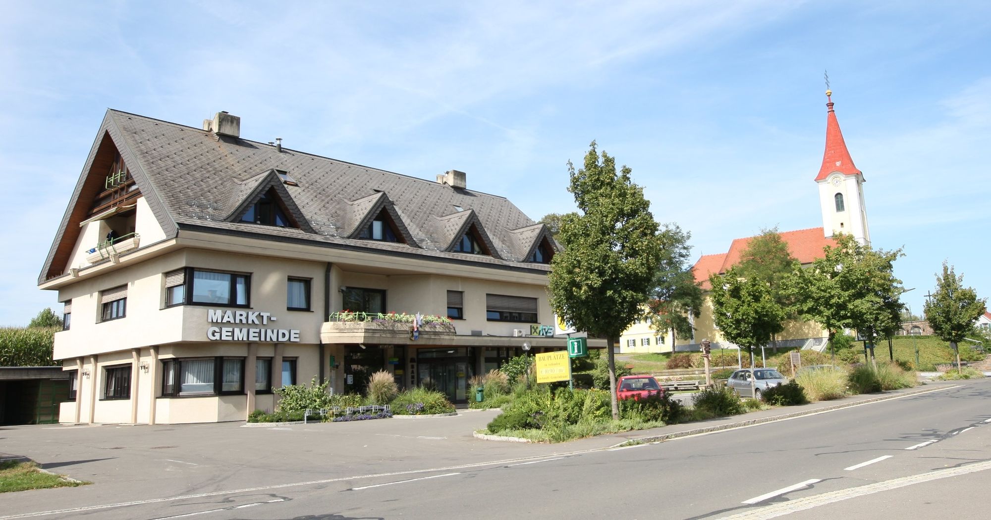
Mettersdorf village center - Bear
- Route
-
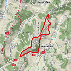
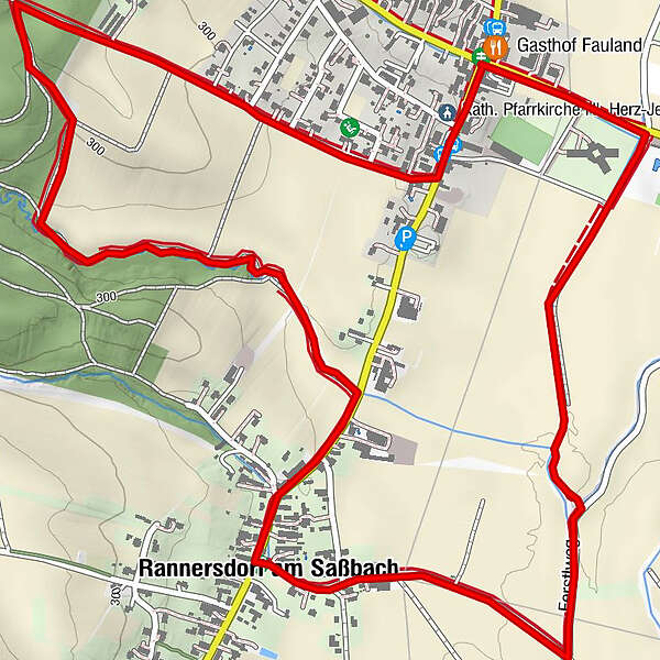
Gasthof FaulandSasstalerhof Jöbstl0.0 kmKath. Pfarrkirche Hl. Herz-Jesu0.1 kmMettersdorf am Saßbach0.2 kmRannersdorf am Saßbach2.8 kmUrsulaquelle4.5 kmSasstalerhof Jöbstl4.8 kmGasthof Fauland4.8 km
- Best season
-
JanFebMarAprMayJunJulAugSepOctNovDec
- Description
-
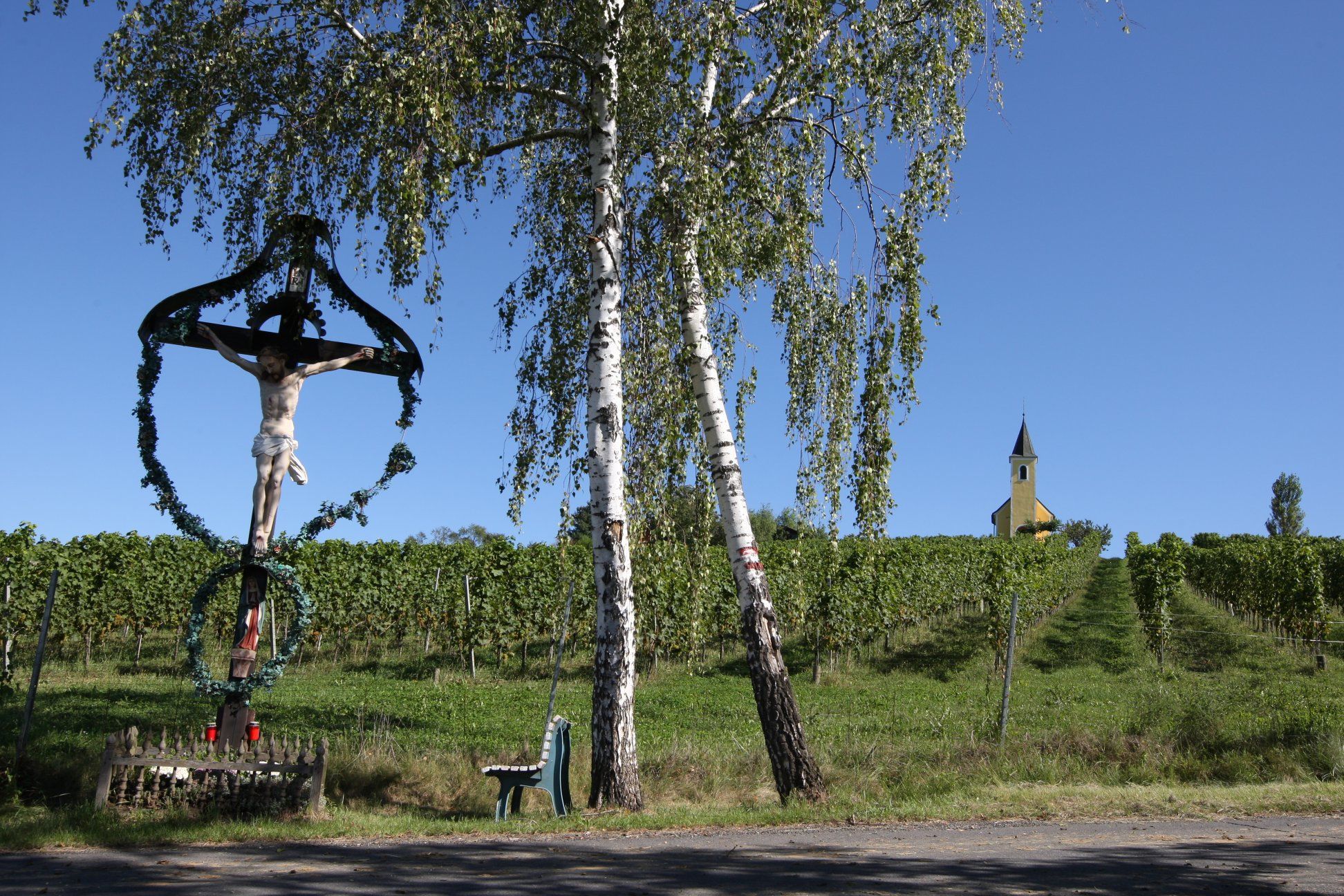
Mettersdorf: The word "Mettersdorf" contains "Medwed", the Slavic word for bear. This closes the circle from the Ursula spring to our place name. Look for the "Big Dipper" once in a clear night, extend the distance between the rear two stars of the dipper five times upwards, there you will meet the North Star; then the "Little Bear" should also be clearly visible!
The legend
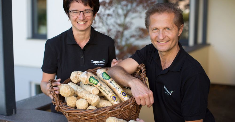
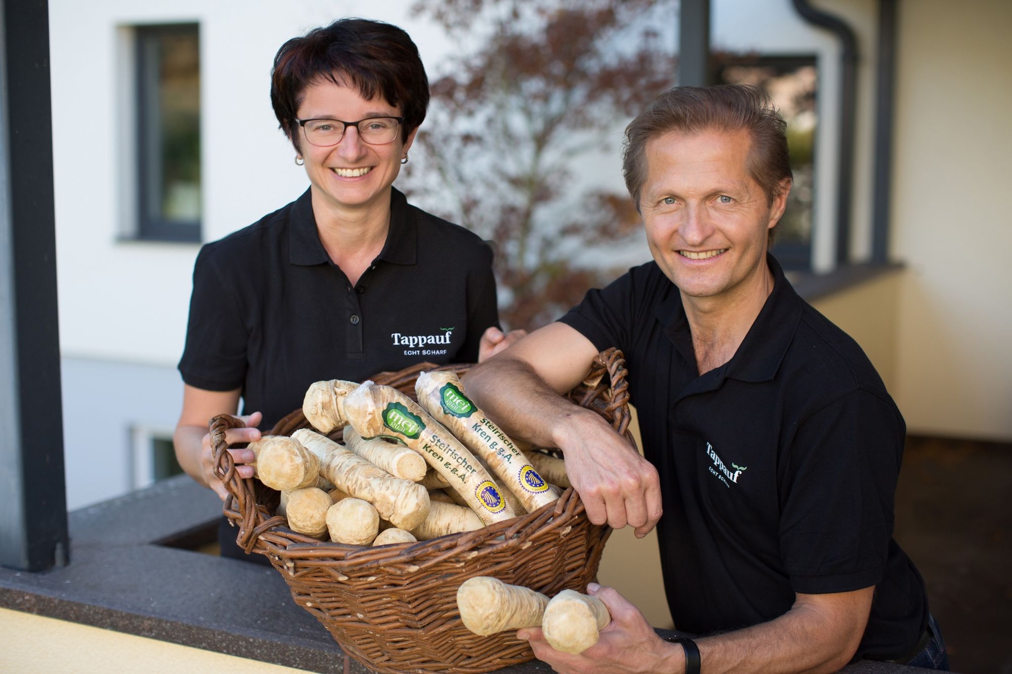
According to the legend, Sarossa was a farmer who was led by his horse to horseradish roots, which cured him of a serious illness. Also from a historical point of view, the plant, also called horseradish, was initially a remedy due to its very high vitamin C content and its circulatory stimulating and anti-bacterial effect, and only later became a food. More interesting facts about horseradish are explained at several stations along the way. - Directions
-
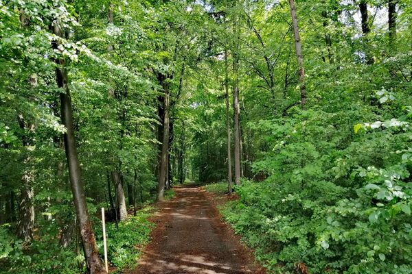
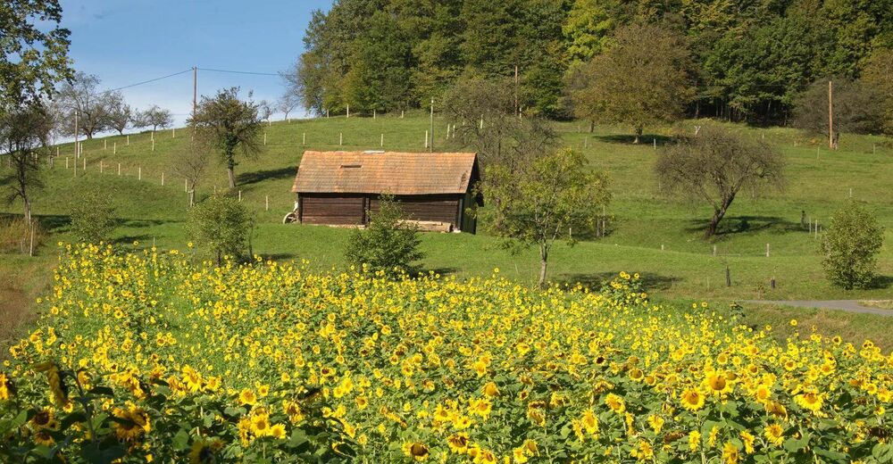
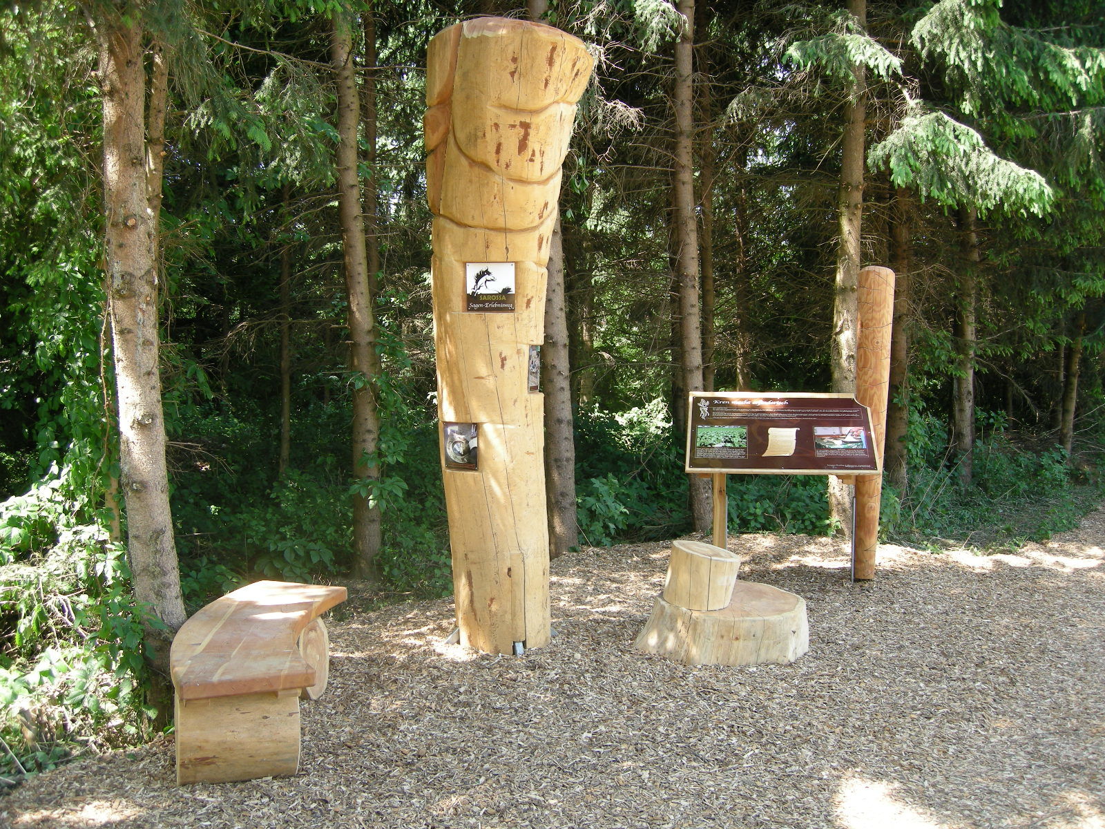
The circular trail begins in the center of the village at the "Bären" and leads in the direction of the municipal office, where we are greeted by a very eye-catching oversized "Krenwurzn" made of wood. A little further on we branch off to the right into the path and follow the legend stations with the story around the miracle root. Through a cool piece of forest and along a field path we come to the outskirts of Rannersdorf, here there is the possibility to go left along the sidewalk back to Mettersdorf or we decide to branch off to the right. Here it is worthwhile to branch off to the Schaustall. In recent years, the farm has shifted from pig farming entirely to the cultivation of dried flowers and process them into small art, which you can admire and purchase at the exhibition in the Schaustall. At the same time, the owner of the house will guide you through the archaeological exhibition: 5000 Years - From Prehistory to Roman Times. You will learn about the interesting results that archaeological excavations have brought to Mettersdorf am Sassbach. We follow the trail along some horseradish fields to the drinking pavilion of the Ursula Spring, which is officially recognized as a healing spring especially for diseases of the gastrointestinal tract, as well as for skin diseases and diseases of the musculoskeletal system. There is also a nice swimming pool here for cooling off after a summer round hike for the whole family. After a few hundred meters we have reached the starting point in the middle of Mettersdorf.
- Highest point
- 316 m
- Endpoint
-
Mettersdorf village center - Bear
- Height profile
-

- Equipment
-
Proper backpack packing makes many things easier: Pack heavy things first. The water bottle should always be within reach in a side pocket. All the things that are often needed, such as sunglasses, camera or hiking map, belong on top. An emergency kit, including blister plasters, belongs in every rucksack and it is always advisable to dress in layers.
- Safety instructions
-
Emergency call mountain rescue: 140
ambulance: 144
European emergency call: 112
firefighters: 122
police: 133Tips when reporting an emergency – Answer these six WH questions: What happened? How many people are injured? Where did the accident happen (are there GPS coordinates)? Who is reporting the incident (callback number)? When did the accident happen? What is the weather like at the site of the incident?
- Tips
-
Let yourself be enchanted by the legend of the small village and immerse yourself in the cultural past of Mettersdorf am Saßbach!
- Additional information
- Directions
- Public transportation
-
Detailed information about arriving by ÖBB (Austrian Federal Railways) can be found at www.oebb.at or on the Verbundlinie Steiermark website www.busbahnbim.at
With Verbundlinie’s BusBahnBim route planner app, planning your journey has never been easier: simply enter towns and/or addresses, stop names or points of interest to check all bus, train and tram connections in Austria. The app is available free of charge for smartphones – on Google Play and in the App Store
- Parking
-
Parking available

-

-
AuthorThe tour Sarossa horseradish trail (Sarossa Kren-Erlebnisweg) is used by outdooractive.com provided.


General info
-
Südsteiermark
1135
-
Bad Gleichenberg
372
-
Mettersdorf am Saßbach
79