© Salzwelten
© Salzwelten

© Salzwelten - Michaela Geistberger

© Ausseerland - Salzwelten


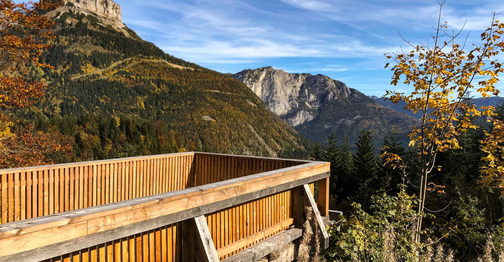
© TVB Ausseerland - Salzkammergut/H. Rastl


- Brief description
-
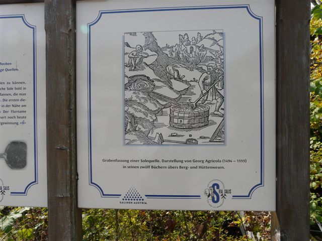
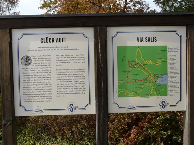
The path is dedicated to the theme of salt. It is equipped with 21 information panels at intervals of five to 20 minutes.
- Difficulty
-
medium
- Rating
-
- Starting point
-
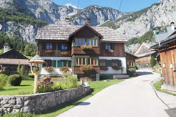
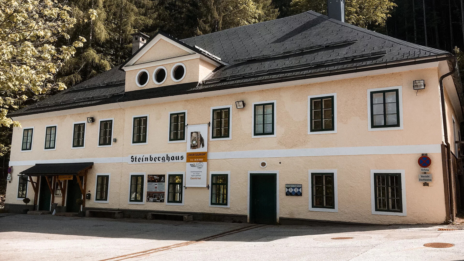
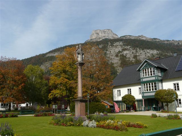
Kur- und Amtshaus Altaussee
- Route
-
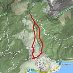
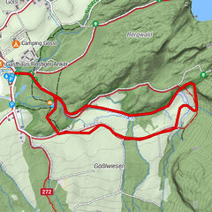
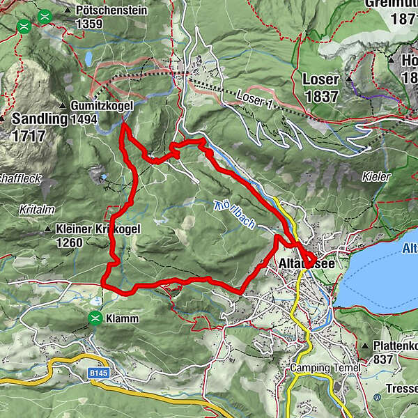
Altaussee0.0 kmHinter-Posern0.7 kmTörlwiese1.1 kmMoosberg5.4 kmFürstenscheibl6.1 kmSchloßwiese7.0 kmAltaussee9.8 km
- Best season
-
JanFebMarAprMayJunJulAugSepOctNovDec
- Description
-
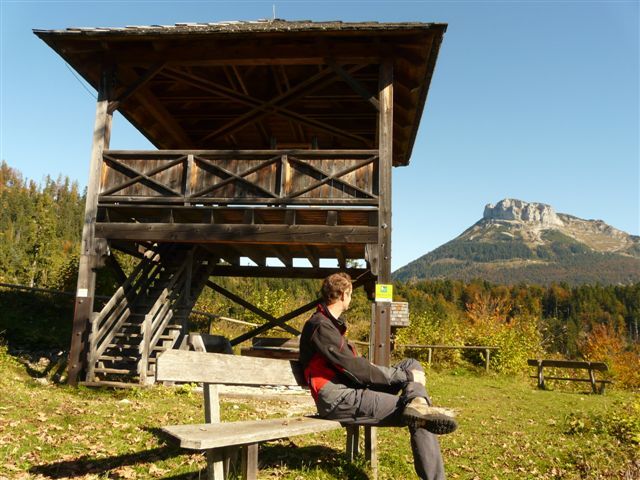
This circular hiking trail around the Dietrichskogel "takes" you on a fascinating journey through time from the origins of the salt mine to the present day of Ausseerland.21 signposted stations point to ancient tunnels, the mule tracks of the Romans or a strange castle ruin. This easily walkable and well signposted route is not only "seasoned" with salt, but with many a surprise. After four kilometers and a leisurely climb of 300 meters in altitude, you reach its highest point - in the quiet, unspoiled mountain landscape at the foot of the Sandling massif. Finally, on the equally long but in places somewhat steeper descent path lies - as the highlight of the hike - the show mine.The hike on the Via Salis takes about three hours.
- Directions
-
The circular trail is about ten kilometers long. Partly you are on alpine hiking trails, therefore the path is not suitable for baby carriages. Please pay attention to the signposts with the lettering "Via Salis". The Pflindsberg castle ruins are worth a detour.
Salt is life Salt water from the Sandling Maple or Altaussee? Changing job description The miner's stand Ruin of Pflindsberg The Romans at the Sandling The scooping works at the Sandling The old mining center How the salt came to the Sandling Enough salt, but not enough wood Working life of the miners Water in the tunnels The Steinberg area From the scoop to the drain The Strähn Mining today Food for the miners Healing from the depths The mountains and their visitors The salt of the future - Highest point
- 1,053 m
- Endpoint
-
is the starting point
- Height profile
-

- Equipment
-
Proper backpacking makes many things easier:
pack heavy things first.
The water bottle should always be within easy reach in a side pocket.
All things that are often needed, such as sunglasses, camera or hiking map, belong on top.
An emergency kit including blister plaster belongs in every backpack and a clothing according to the "onion system" is always recommended! - Safety instructions
-
Emergency call mountain rescue: 140
Emergency reporting tip - provide answers to the six W questions:
What happened? How many injured? Where did the accident happen? (possibly GPS coordinates) Who is reporting? (callback number) When did the accident happen? Weather at the accident site? - Tips
-
The three somewhat more difficult passages are easily bypassed on the forest road.
- Additional information
- Directions
- Public transportation
- Parking


- Author
-
The tour Via Salis - Hiking in the footsteps of salt is used by outdooractive.com provided.
GPS Downloads


General info
Refreshment stop
Cultural/Historical
A lot of view
Other tours in the regions
-
Ausseerland - Salzkammergut
3382
-
Dachstein Salzkammergut
1701
-
Altaussee
298