
- Brief description
-
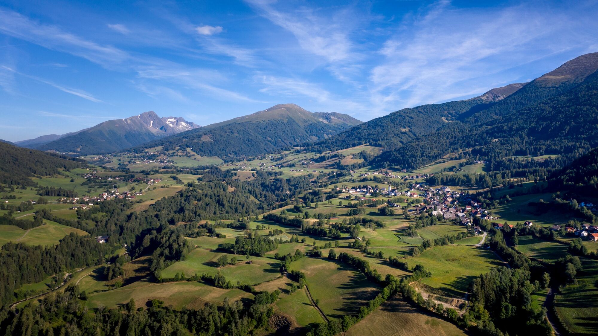
Beautiful hike into the Prebertal with 4 special places.
- Difficulty
-
medium
- Rating
-
- Starting point
-
Klausnerberg-Säge
- Route
-
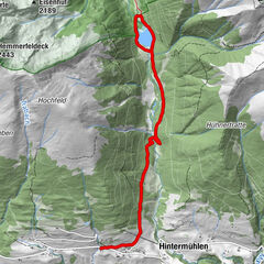
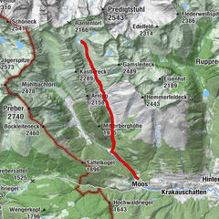
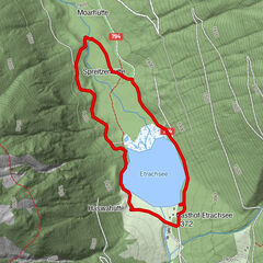
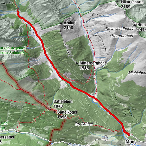
MoosBahnhof1.8 kmMoarhütte5.9 kmMöslhütte6.2 km
- Best season
-
JanFebMarAprMayJunJulAugSepOctNovDec
- Description
-
Place 1.1 Preberbach: The power of water (spear into the land)
Place 1.2 Ins Land “einischaun” (Ins Land einischaun)
Place 1.3 The Magic Forest (Einigspiern into the country)
Place 1.4 At the altar of the rock giants (unify into the land)
- Directions
-
From the Klausnerberg sawmill on path 2 to the “Bahnhof” from here left on path 1 to the Möslhütte. There are four places in the immediate vicinity. (1.1: next to Preberbach, right past the Möslhütte; 1.2: at the second bend on the cart path above the hut; 1.3: larch grove above the fourth bend; 1.4: above the stone hut on the Preberbach)
- Highest point
- 1,592 m
- Endpoint
-
Klausnerberg-Säge
- Height profile
-

- Equipment
-
Good shoes
Sun protection
Sufficient food - Additional information
-
The ideal time for this tour is from May to October.
- Directions
-
East: From Vienna on the A 2 and S 6 to Leoben and St. Michael i. d. E., continue on the S 36 to Judenburg and on the B 96 to Murau. From Murau via Ranten to Krakau.
West, North: From Bregenz/Innsbruck via the A 12, A 93 and A 8 to Salzburg. From Salzburg on the A 10 to St. Michael im Lungau. From here on the B 96 to Tamsweg and further towards Murau via Sauerfeld to Krakau.
South: From Klagenfurt on the B 83 to Scheifling. Then take the B 96 to Murau and on to Krakau.
- Public transportation
-
With the BusBahnBim app from the interconnected line, timetable information is easier than ever before: all bus, train and tram connections in Austria can be queried by entering locations and/or addresses, stops or important points. The app is available as a free app for smartphones (Android, iOS) - on Google Play and in the App Store.
- Parking
-
Public parking spaces are available at Klausnerberg-Säge.
- Author
-
The tour Power place hike 1: Prebertalrunde is used by outdooractive.com provided.