- Brief description
- Difficulty
-
medium
- Rating
-
- Starting point
-
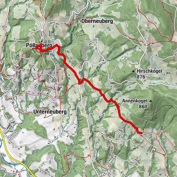
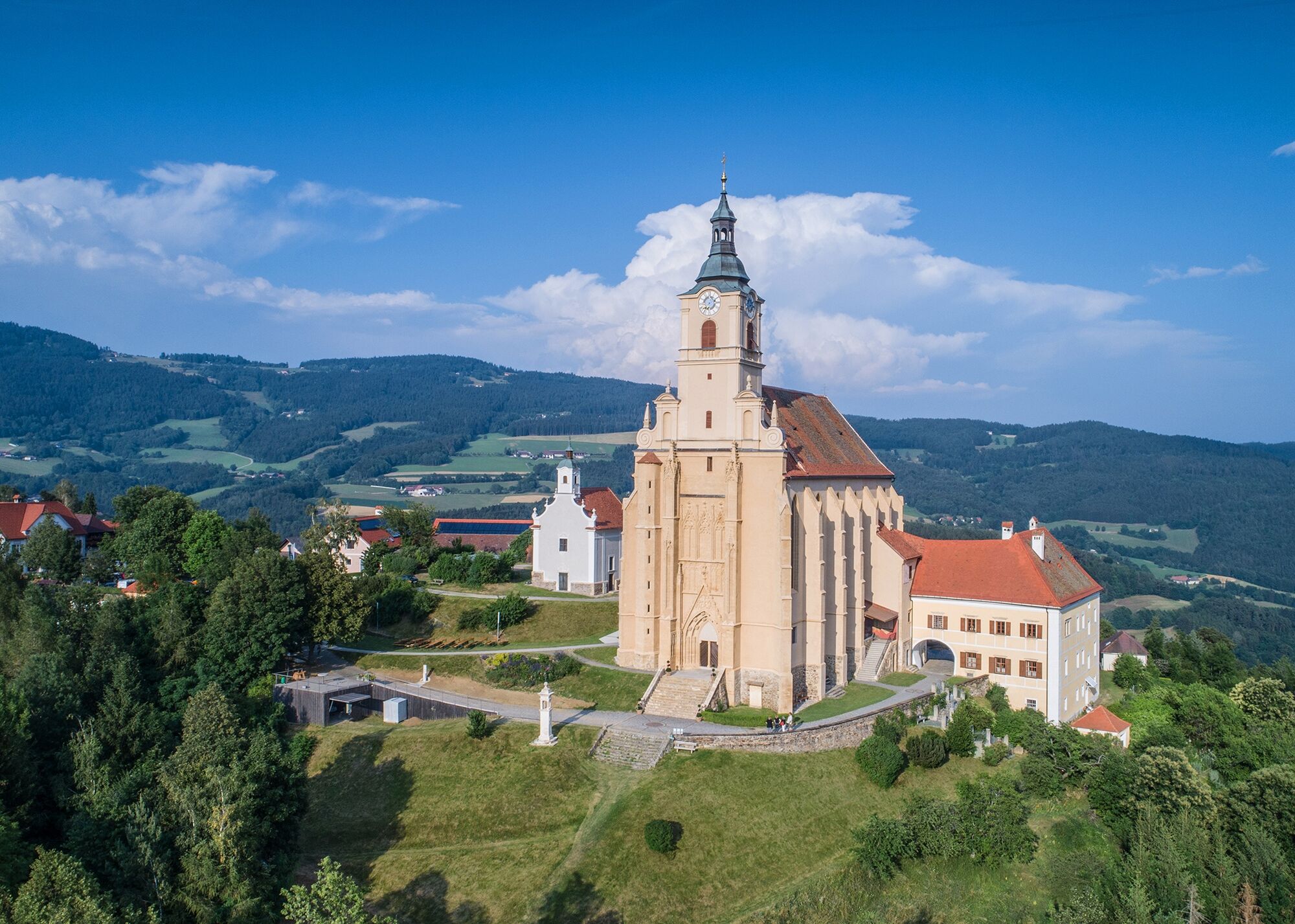
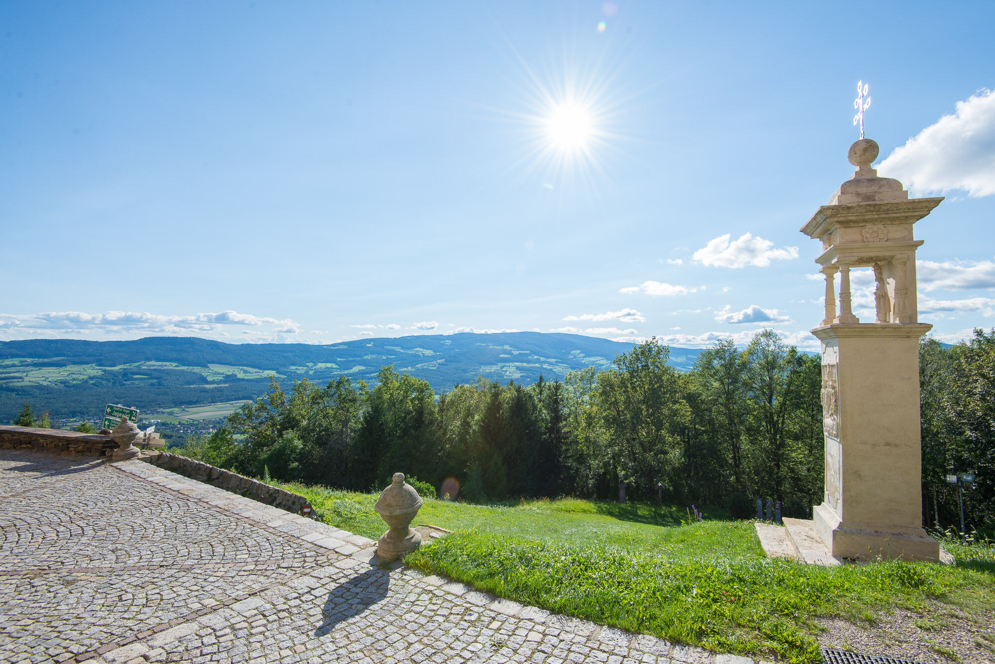
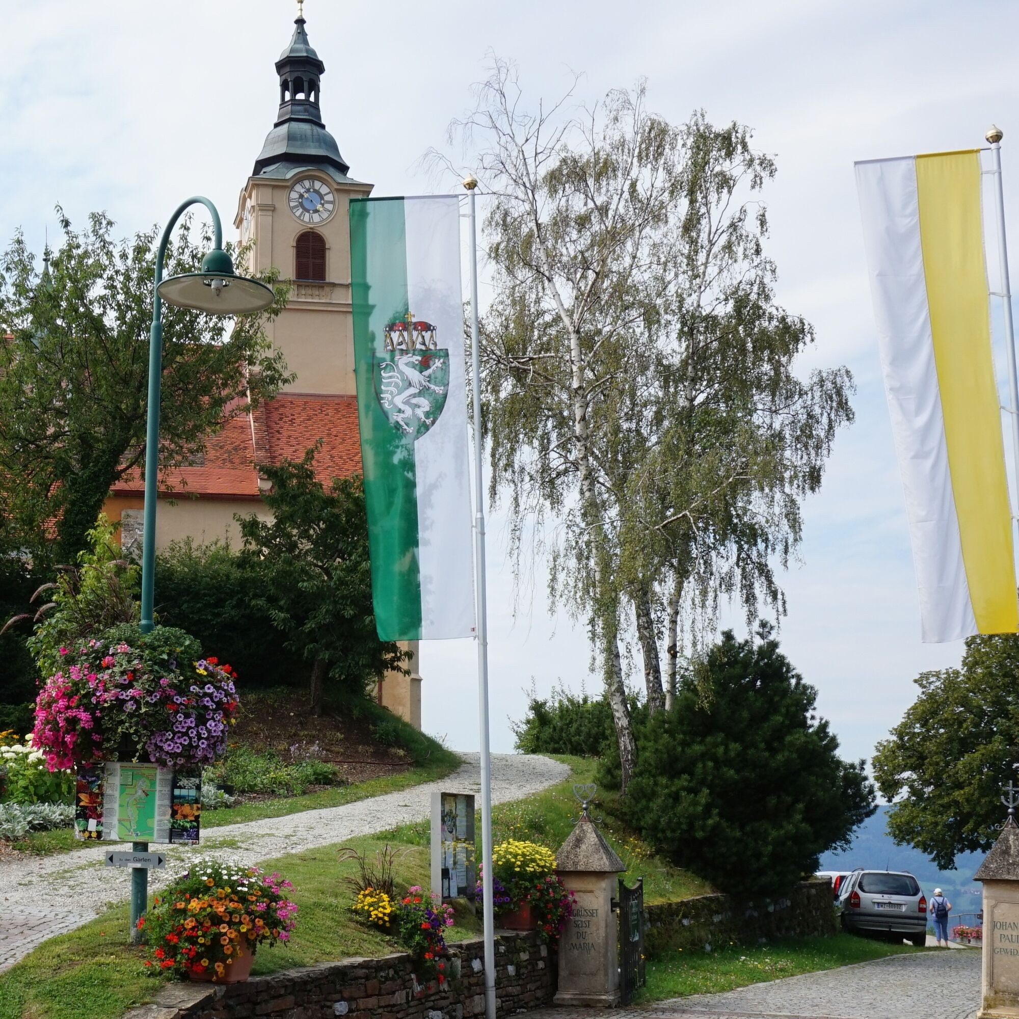
Pöllauberg, Nature Park Arena
- Route
-
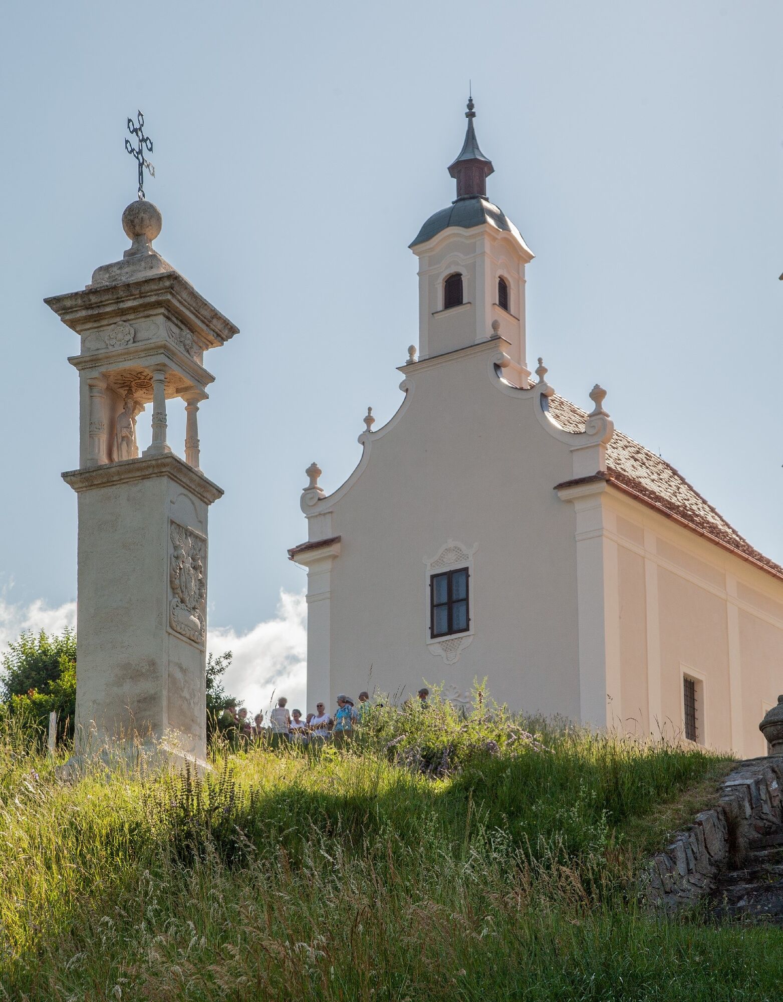
Wallfahrtskirche Maria PöllaubergPöllauberg0.1 kmBerggasthof König0.2 kmFilialkirche St. Anna0.3 kmGasthof Goger "Zum Jagawirt"0.3 kmMuggental2.5 kmSpitzberg3.2 kmErtlhöf4.0 kmSt. Anna5.0 kmSt. Anna am Masenberg5.1 km
- Best season
-
JanFebMarAprMayJunJulAugSepOctNovDec
- Description
-
We would like to invite you to combine your hike in the Pöllauer Tal Nature Park and ApfelLand-Stubenbergsee with art and cultural enjoyment and culinary delights. The individual organ hiking tours can be easily combined with one another; hike from church to church in the Pöllau Valley Nature Park and ApfelLand-Stubenbergsee regions and get to know the advantages of an individual guided tour with the sound of bells and organs. Download the free "Hearonymus" app, select the "Churches in the ApfelLand-Stubenbergsee and Pöllau Valley Nature Park" under "Guides" and your smartphone has become an audio guide.
- Directions
-
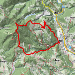
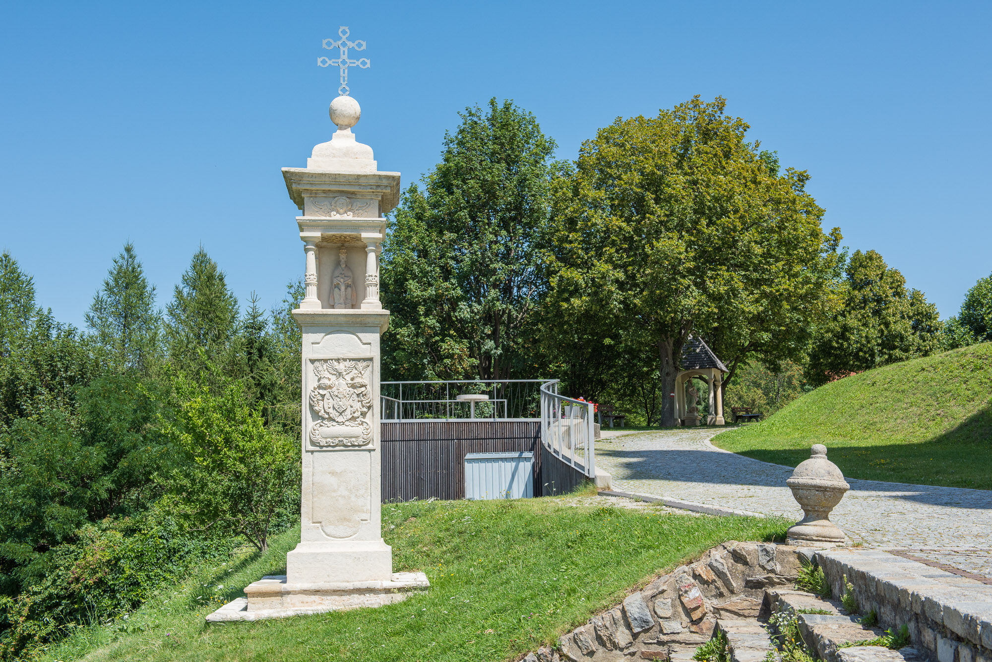
Pöllauberg – Brandstatt Wir starten bei der Wallfahrtskirche Pöllauberg, gehen vorbei an der Annakirche und queren den Hauptplaz. Unmittelbar vor der Volksschule den Schildern „Hirschbirnweg“ folgend treffen wir bei einer Abzweigung auf unseren Wanderweg rot-weiß-rot Nr. 946 „St. Anna – Hartberg“. Diesem folgen wir über ein paar Stufen und dann links abbiegend durch den Hochwald, weiter auf einer asphaltierten Hauszufahrt, überqueren eine Gemeindestraße in „Ölhof“ und zweigen dann rechts in den Forstweg ab. Diesem folgen wir zuerst entlang der Wiese und später durch den Hochwald, bis wir auf eine kleine Kapelle beim Anwesen „Bachlex“ in der Brandstatt treffen.
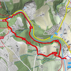
Brandstatt – Muggental – St. Anna
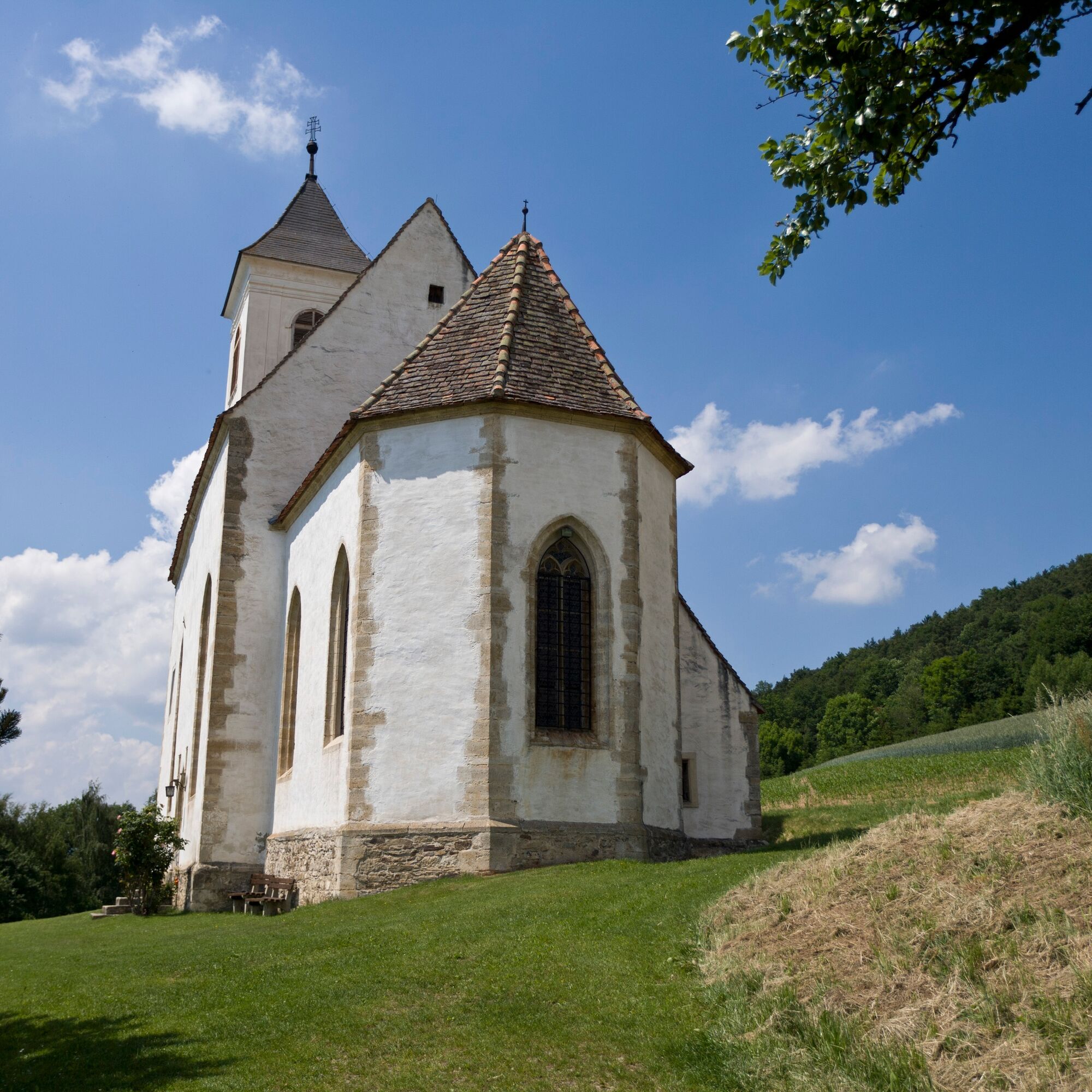
Wir wandern die Asphaltstraße ca. 800 m entlang bis zum Obsthof Reiterer. Bei der Bushaltestelle „Oberneuberg GH Scherf“ zweigen wir links ab, folgen der rot-weiß-roten Markierung Nr. 946 und wandern ca. 3 km gemütlich die Asphaltstraße entlang bis zur Wallfahrtskirche St. Anna. - Highest point
- 750 m
- Endpoint
-
Hartberg, St. Anna church
- Height profile
-

- Equipment
-
small rucksack with water bottle (+ provisions)
Sturdy shoes
Appropriate clothing - preferably several layers - "onion principle"
Rain and sun protection
Hiking poles as required
Mobile phone
Small first aid kit
Route description
Before starting the hike, check where you can stop for refreshments, including opening times, or pack suitable provisions. - Safety instructions
-
European emergency call: 112
Emergency call mountain rescue: 140 (if possible, please
provide GPS data)
Rescue: 144
Fire brigade: 122 '
Police: 133
The trail is easy to walk and therefore suitable for the whole
family.
Correct behaviour when hiking: Rules of behaviour when hiking
A few tips on correct and fair behaviour in the forest: (Source:
Bundesforste https://www.bundesforste.at/english.html) Hikers should avoid visiting the forest approx. 1.5 hours before sunrise and after sunset, as wild animals are particularly active at this time. Plastic bottles, handkerchiefs, cigarette butts etc. have no place in the forest! Please make sure that you do not leave any rubbish in the forest. Camping and making fires is strictly forbidden in the forest! In principle, every person in the forest is allowed to collect 2kg of mushrooms and berries per day for their own use. It is only prohibited if the forest owner expressly forbids it. In principle, every person in the forest is allowed to collect 2kg of mushrooms and berries per day for their own use. It is only prohibited if the forest owner expressly forbids it. - Tips
-
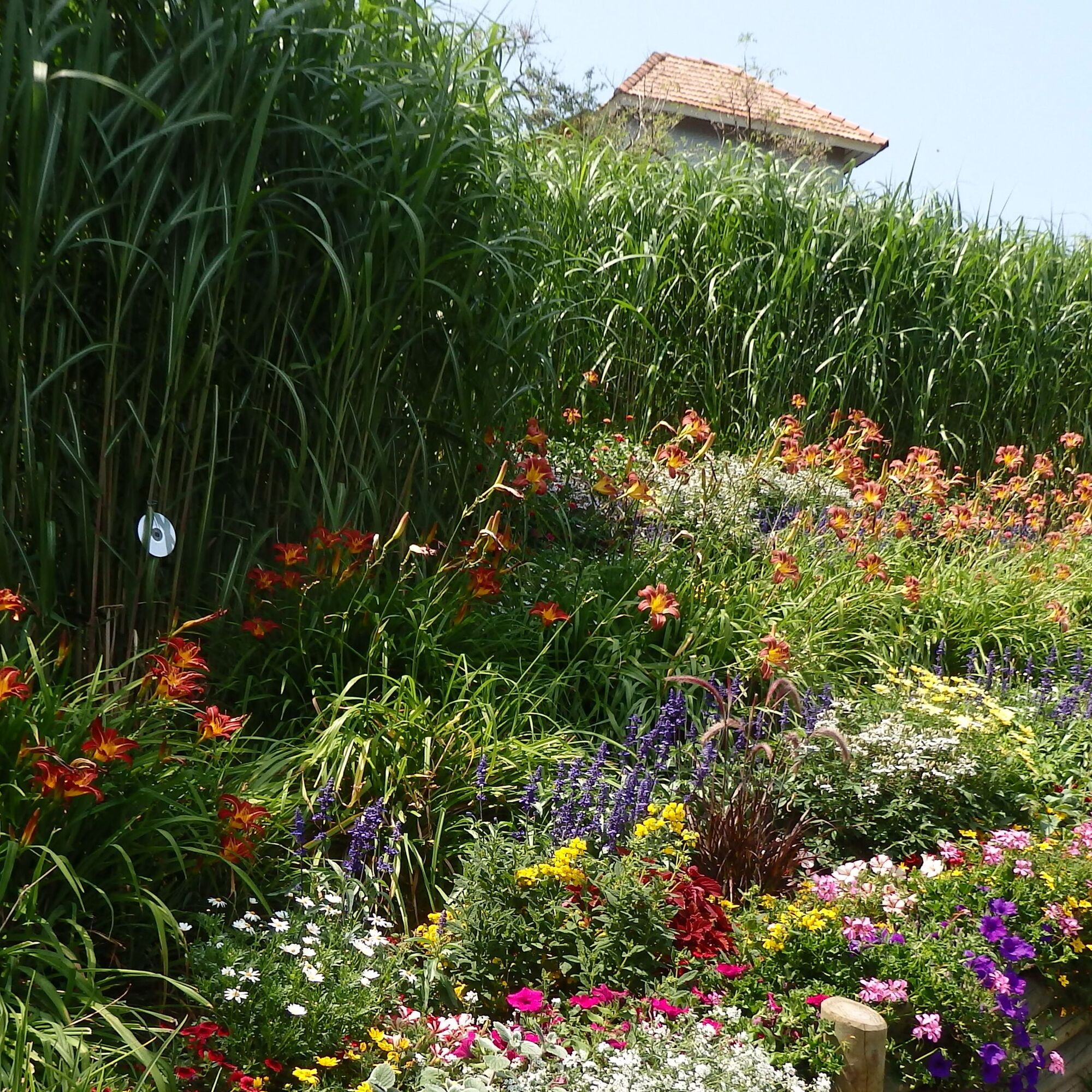
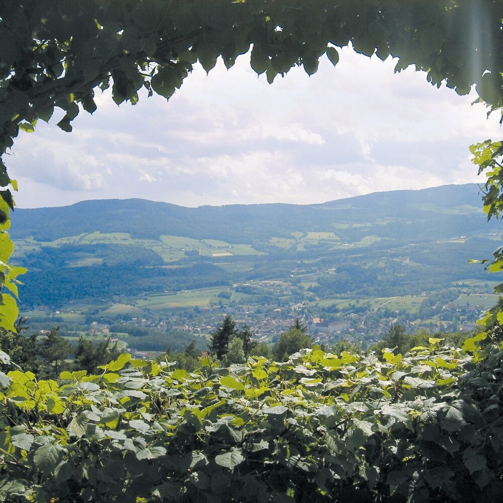
Experience the scenic diversity of the
Pöllau Valley Nature Park
Plan enough time to enjoy the
culinary delights - Additional information
-
Information about the region, places to stop for refreshments and overnight accommodation, excursion destinations etc. can be found here:
Tourism region Eastern Styria
Nature Park Pöllauer Valley office
Schloss 1, 8225 Pöllau, Austria
Phone: +43 3335 4210
www.naturpark-poellauertal.at
www.oststeiermark.com
Current weather
Mobility Eastern Styria with shared taxi SAM - Directions
-
Pöllauberg, Nature Park Arena
The Pöllau Valley Nature Park is located in the heart of Eastern Styria, the garden of Austria, approx. 60 km north-east of Graz and approx. 150 km south of Vienna
By car from Vienna
If you are driving from Vienna to Pöllau bei Hartberg, take the A2 towards Graz and drive about 110 kilometres until you reach the Hartberg exit. From there, follow the B54 in the direction of Pöllau.By car from Graz
To get to Pöllau bei Hartberg from Graz, take the A2 motorway in the direction of Vienna. After about 30 kilometres, take the Gleisdorf West exit and then take the B54 towards Hartberg/Pöllau. Follow the B54 for about 25 kilometres until you reach Pöllau.By car from Salzburg
To get to Pöllau bei Hartberg from Salzburg, take the A1 motorway towards Vienna. Drive about 110 kilometres to exit 109 (Salzburg junction). There change to the A9 motorway in the direction of Graz. At St. Michael, follow the S6 towards Kapfenberg. Continue on the S6 until the Krieglach exit. From there, take the B72 and then the L405 to Pöllau. - Public transportation
- Parking

-

-
AuthorThe tour Organ Hiking: Stage Pöllauberg - St. Anna is used by outdooractive.com provided.


General info
-
Oststeiermark
2126
-
Naturpark Pöllauer Tal
1095
-
Pöllauberg
353