- Brief description
-
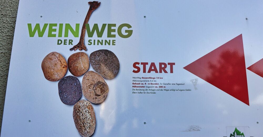
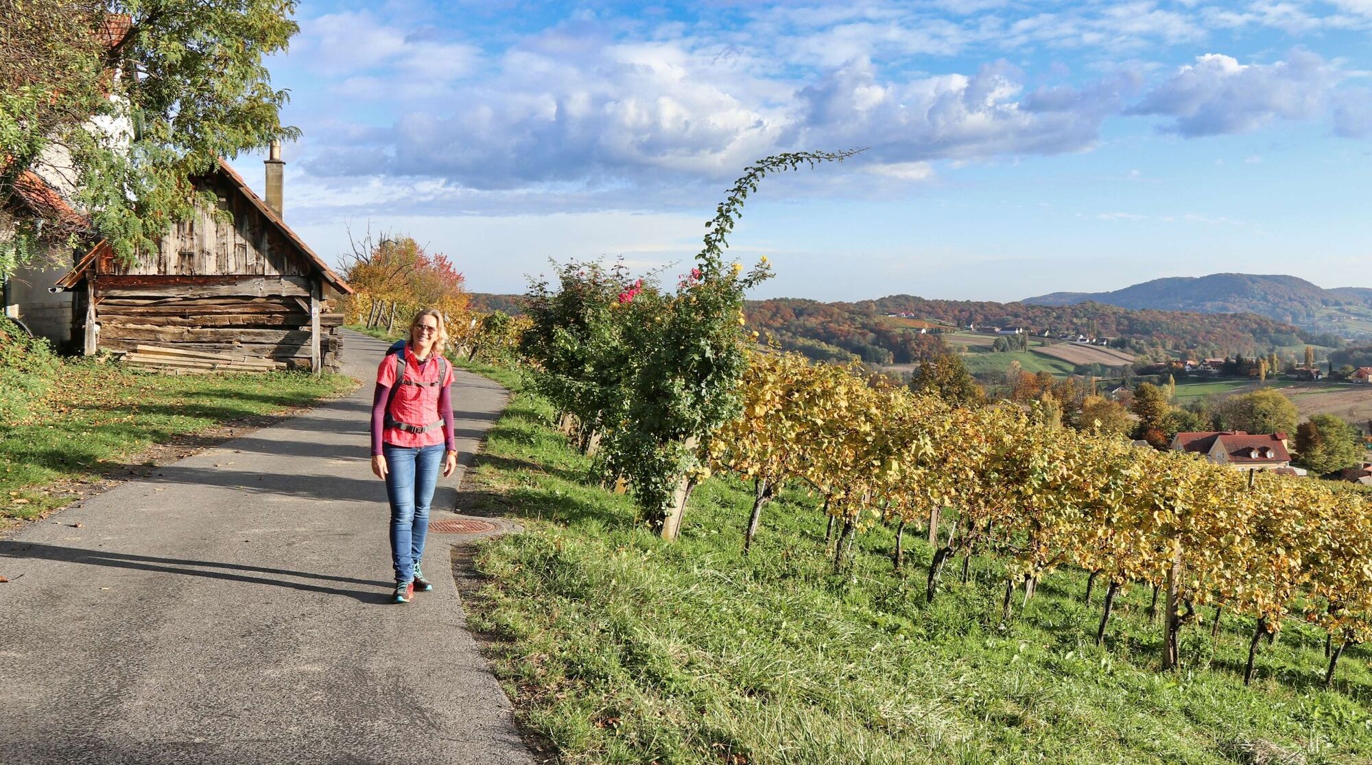
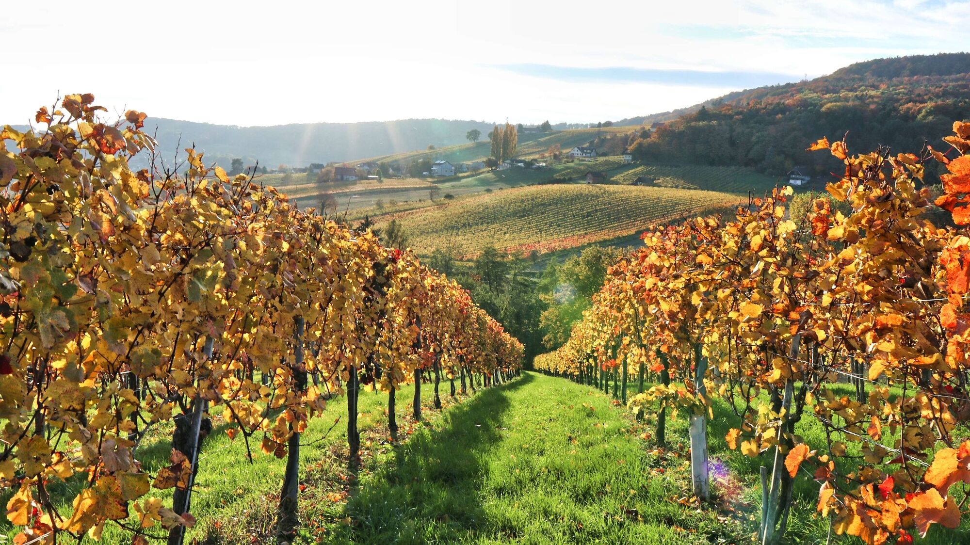
A theme trail par excellence - the wine trail is dedicated to Styrian wine in St. Anna am Aigen in the thermal and volcanic region of Styria.
- Difficulty
-
medium
- Rating
-
- Starting point
-
In the center of St. Anna am Aigen / Municipal Office
- Route
-
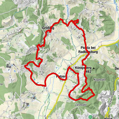
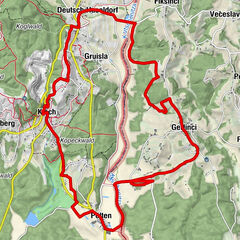
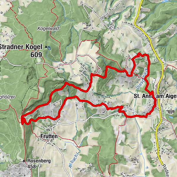
St. Anna am Aigen0.0 kmRutschen0.1 kmBuschenschank Hütter2.2 kmSchemming3.0 kmEisenberg4.4 kmBergheuriger Grenzlandhof6.6 kmGießelsdorfberg6.8 kmRaststation Aussichtswarte7.7 kmGobitsch10.9 kmDamberg11.2 kmPlesch12.0 kmBuschenschank Pfeifer13.1 kmPfarrkirche St. Anna13.5 kmRutschen13.6 kmSt. Anna am Aigen13.7 km
- Best season
-
JanFebMarAprMayJunJulAugSepOctNovDec
- Description
-
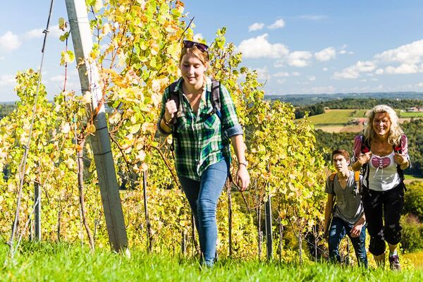
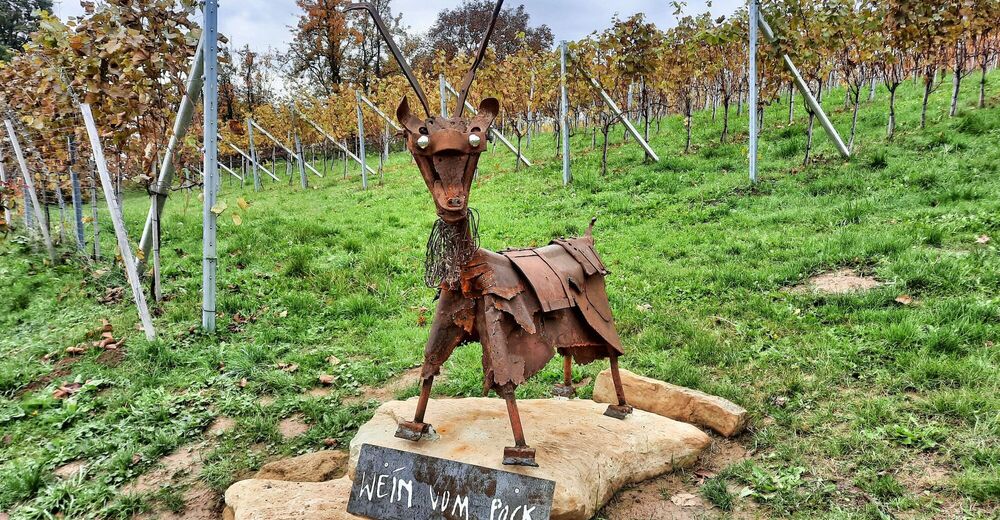
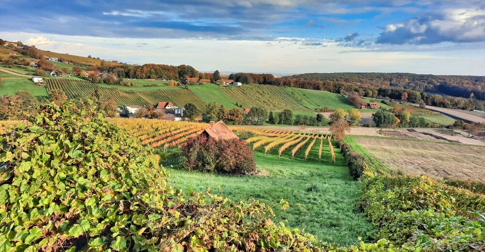
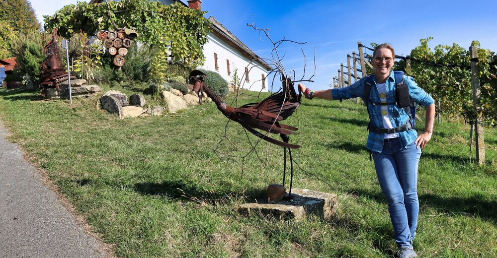
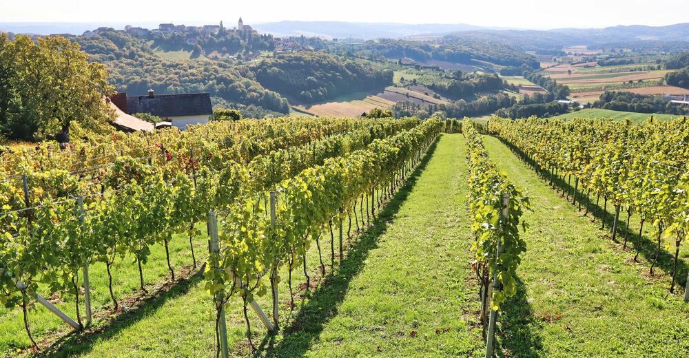
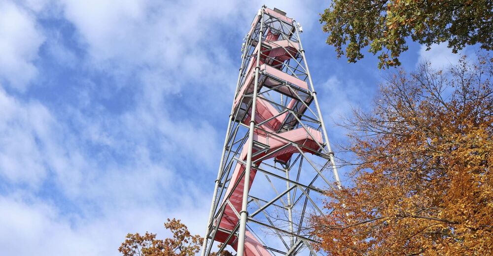
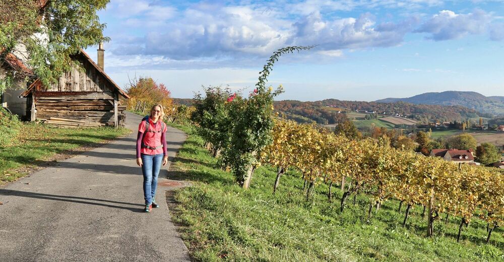
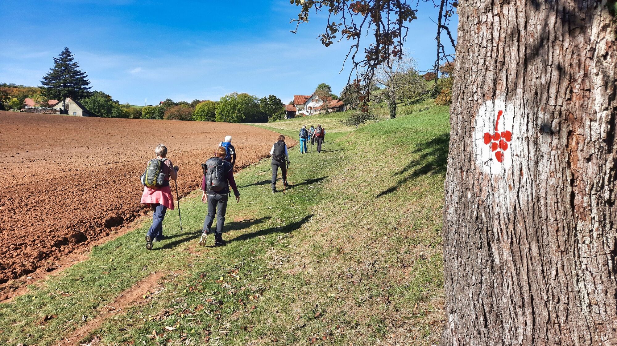
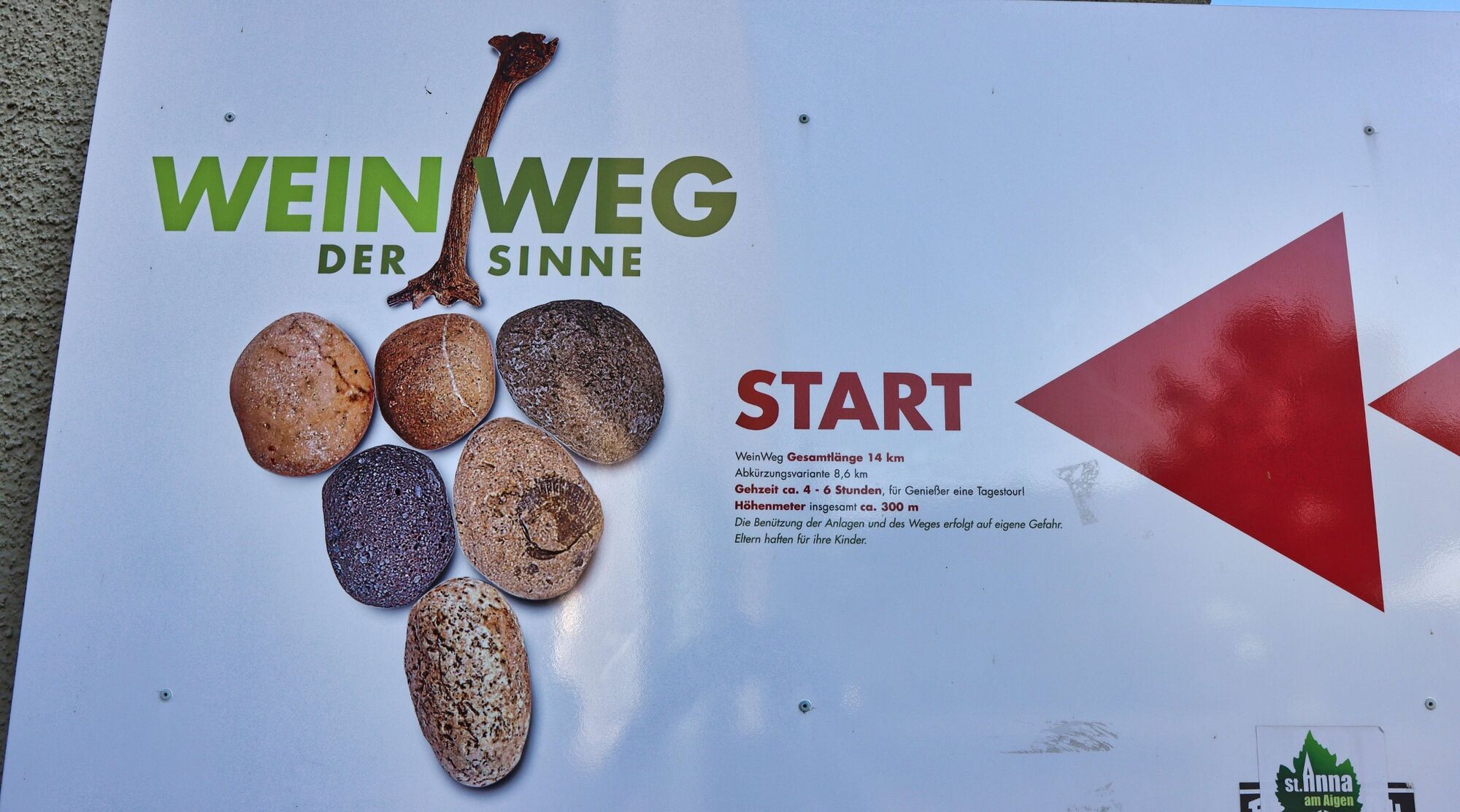
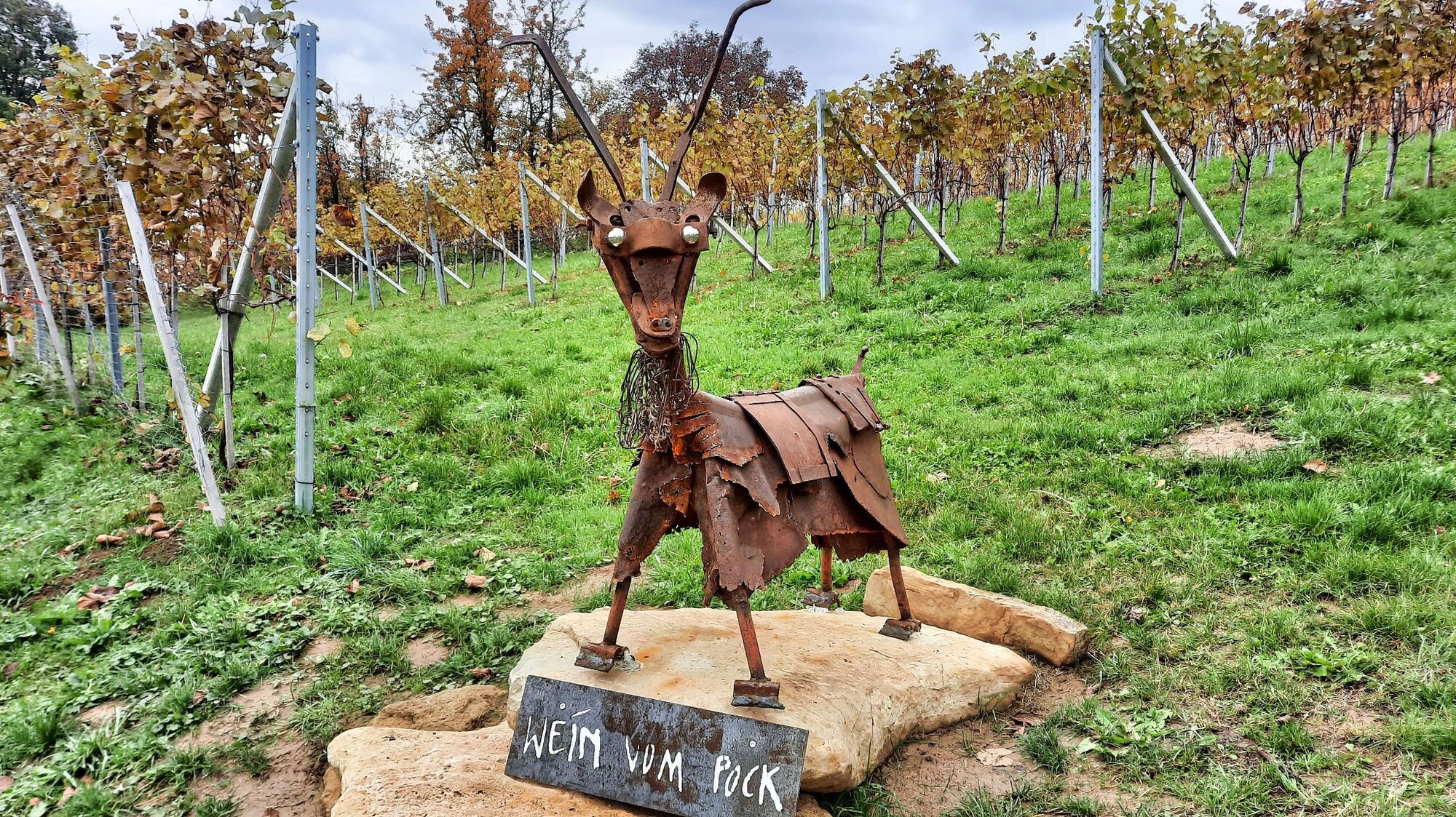
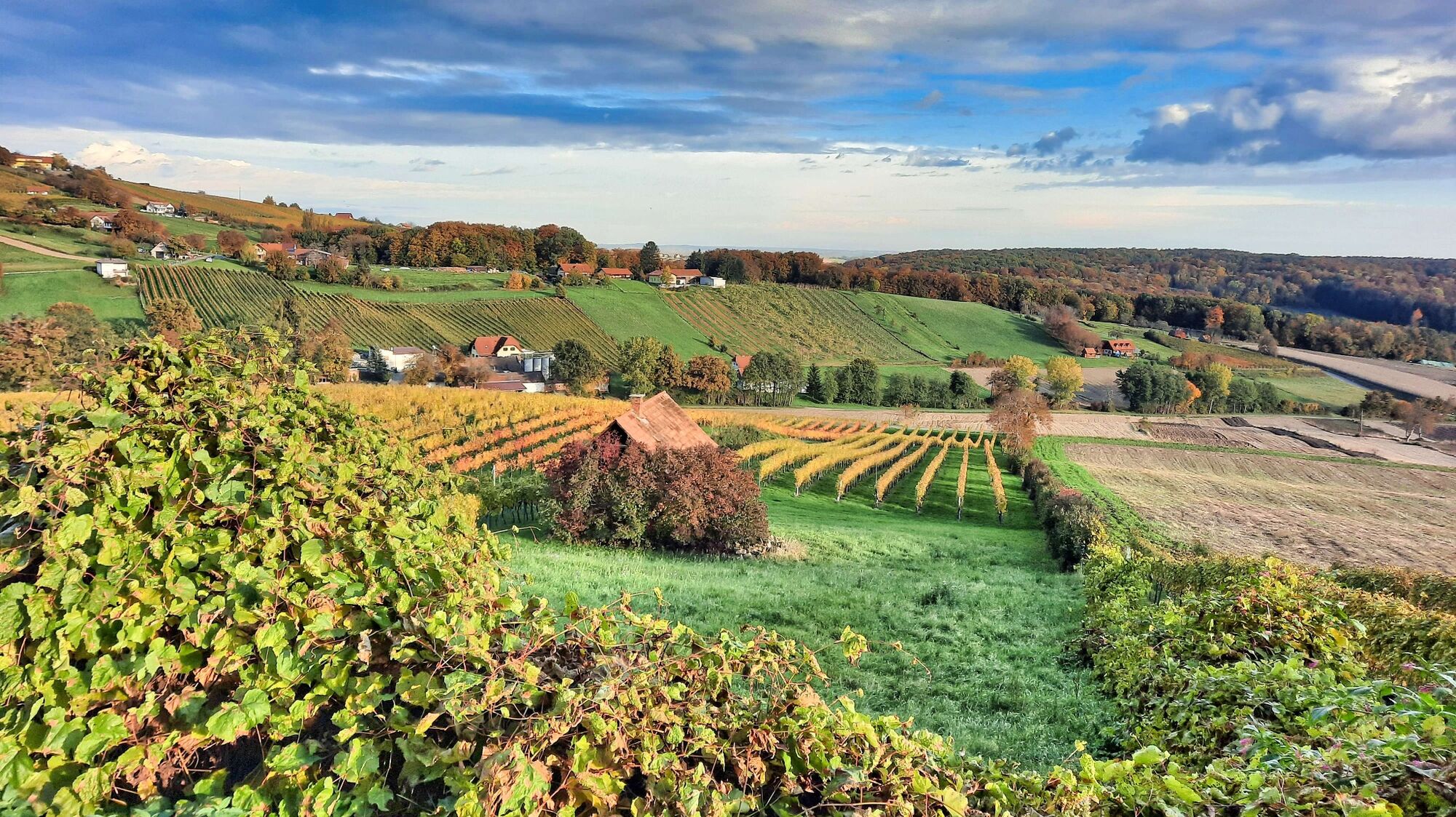
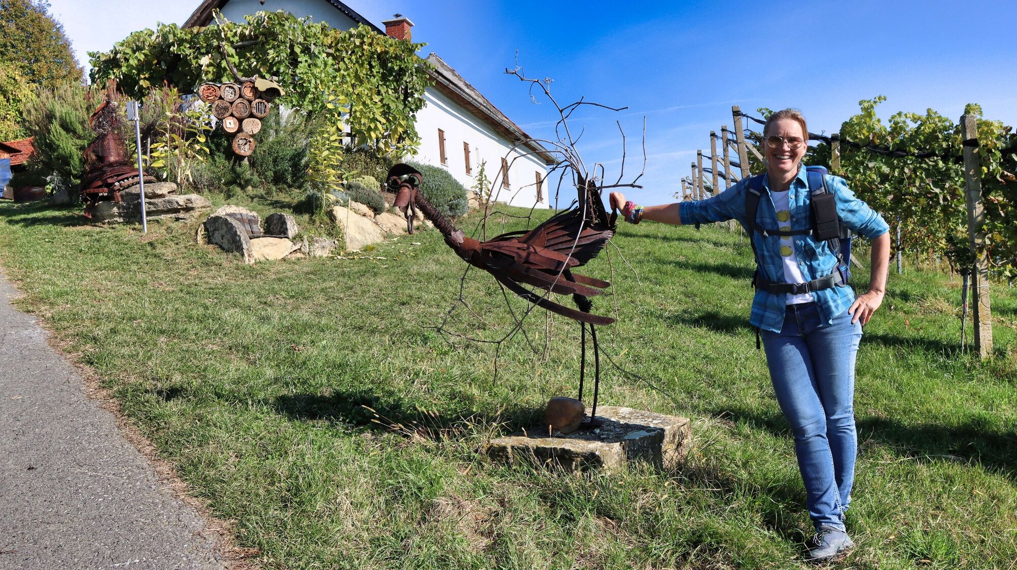
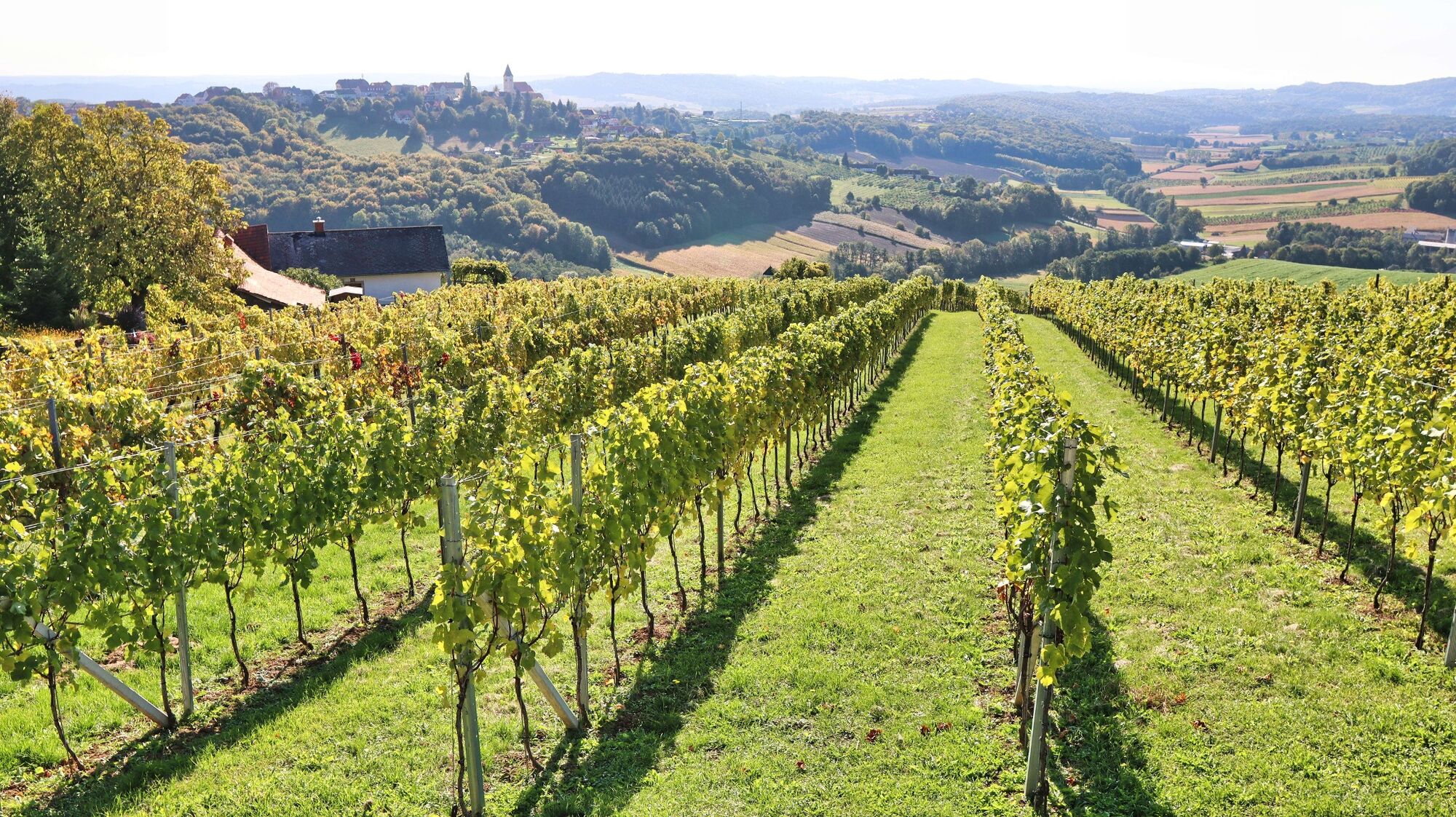
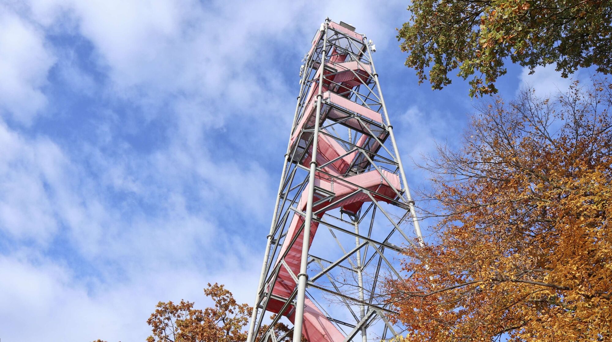
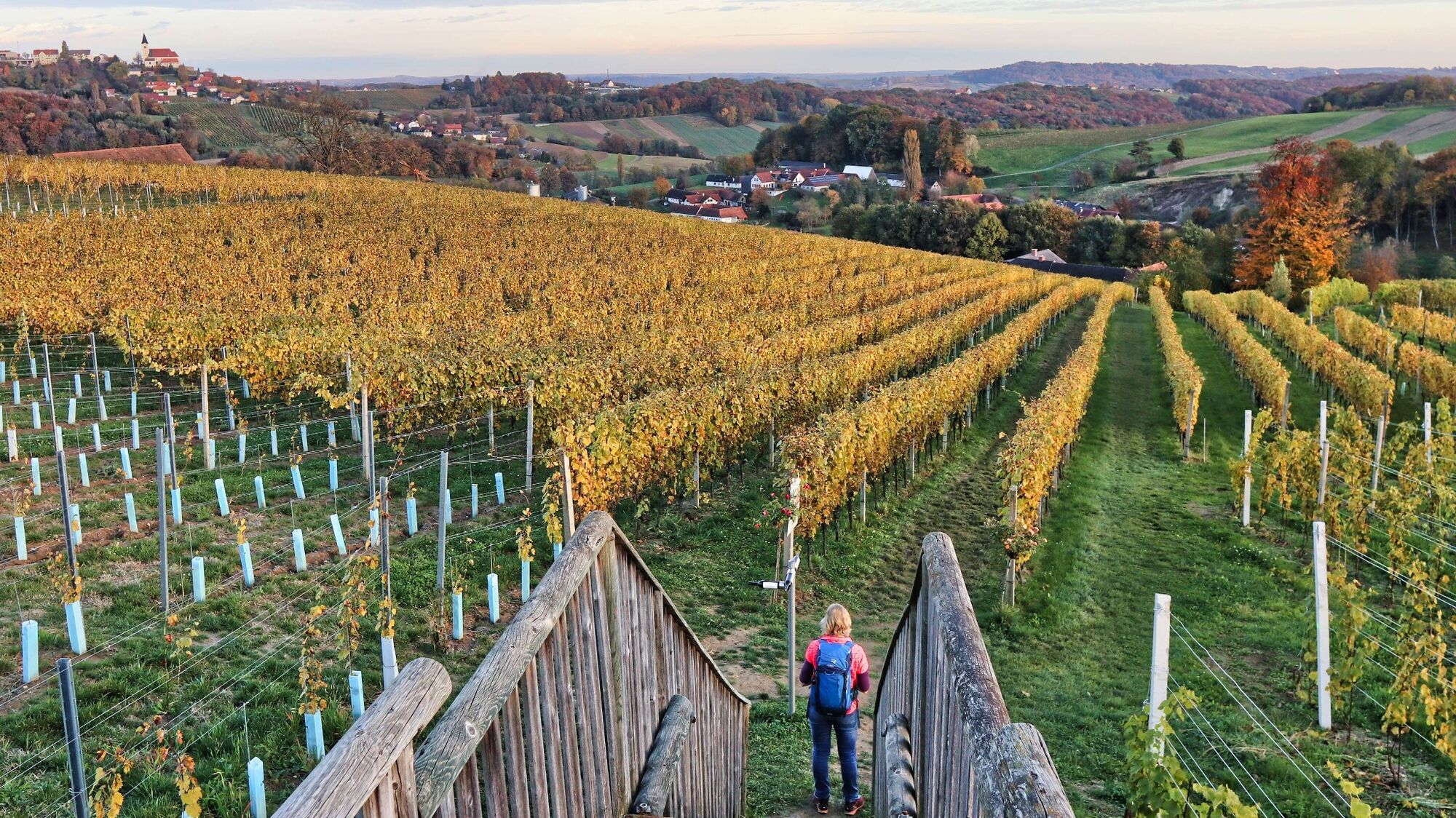
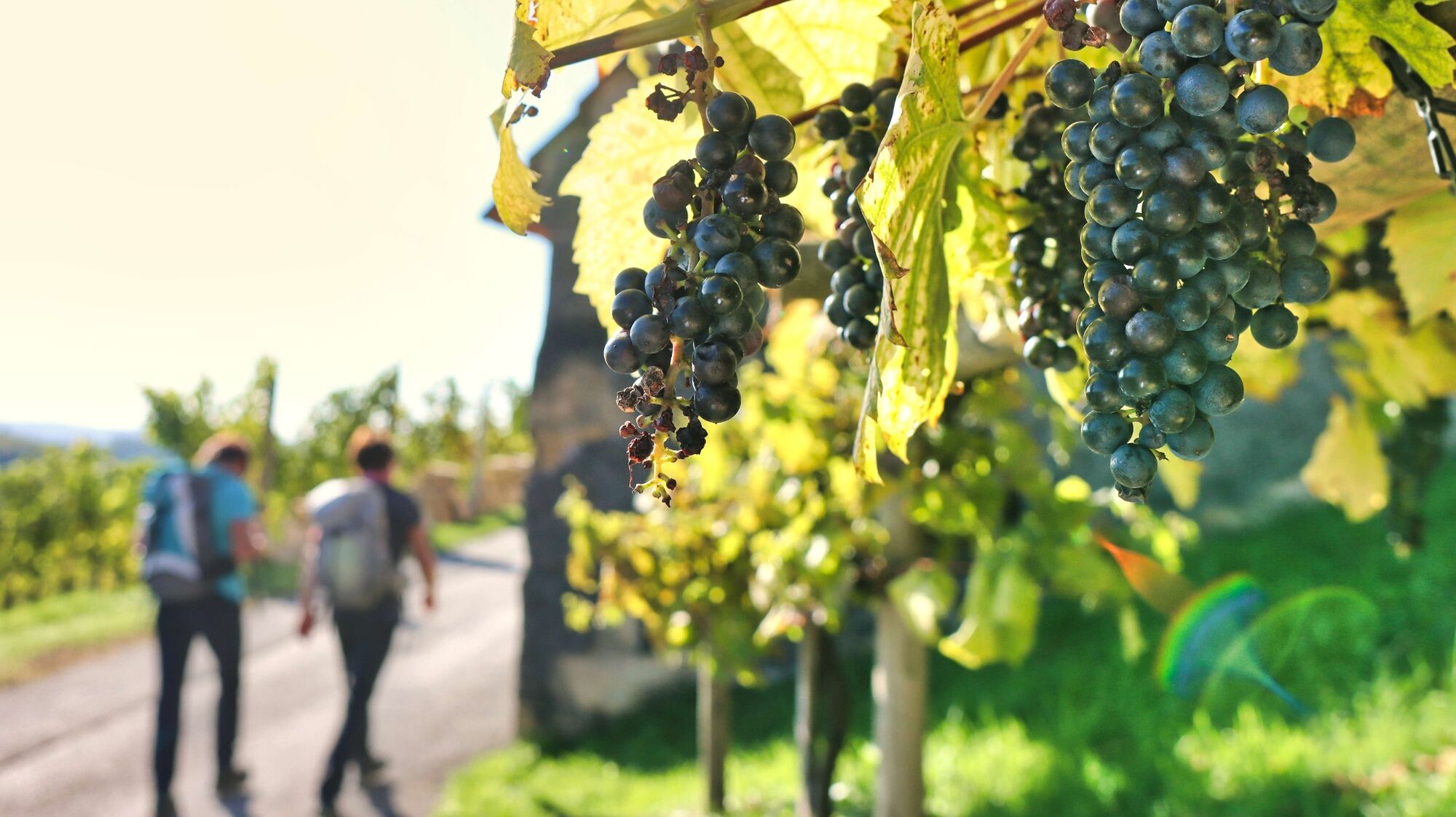
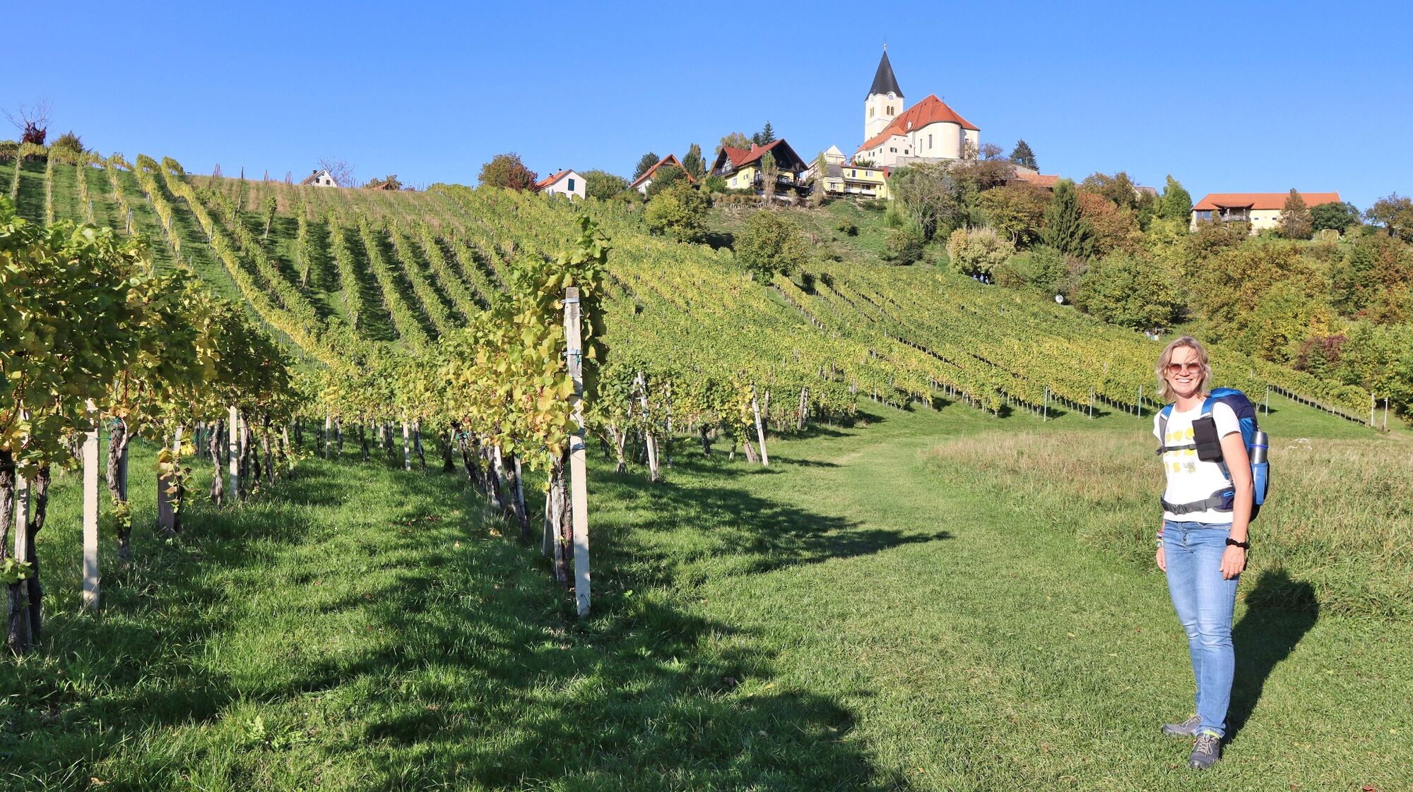
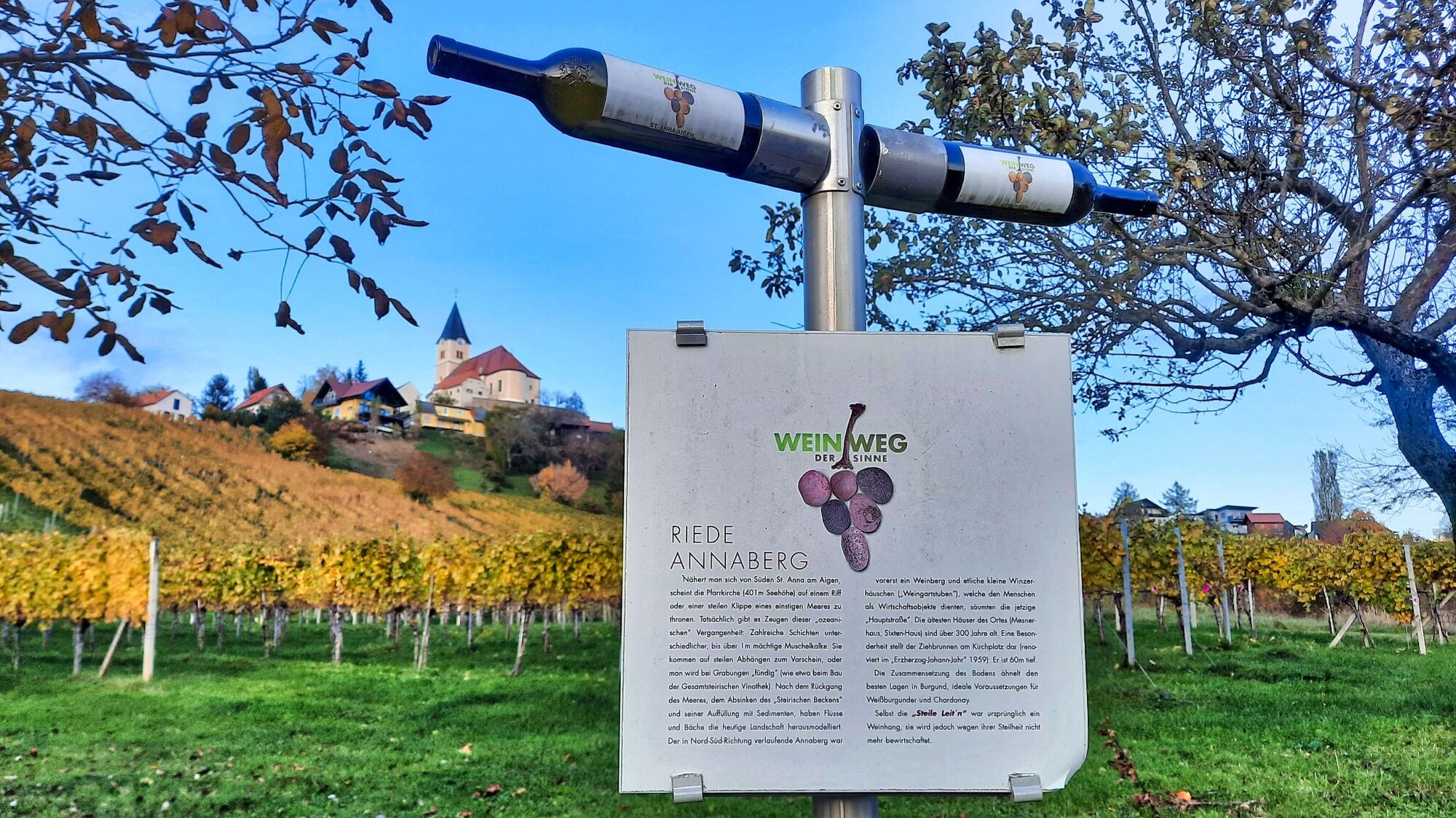
With the promising name "Wine Trail of the Senses" you are on your way west of the idyllic village of St. Anna am Aigen. Varied paths, original signposts, numerous refreshment stops, as well as cozy rest areas can be found here in the midst of a well-kept cultural landscape. If you hike the entire trail, the Frutten-Gießelsdorf lookout tower is a worthwhile destination. The 40-meter-high fiery red tower offers a magnificent view of the southeastern Styrian hills and far beyond the state's borders. Before or after the hike, you should take time to visit the Gesamtsteirische Vinothek in St. Anna am Aigen, which is worth seeing for its striking architecture alone. Not to mention the abundance of Styrian wines that we can taste here and, of course, buy. At the top is a glass viewing platform with magnificent views across the fertile hilly landscape to Slovenia.
Shortcuts:
Route St. Anna/A: 9 km
Route Frutten-Gießelsdorf: 7 km - Directions
-
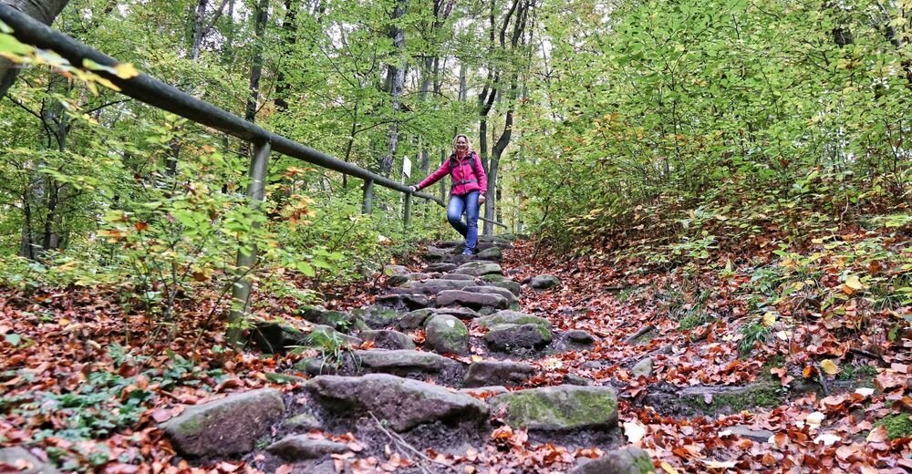
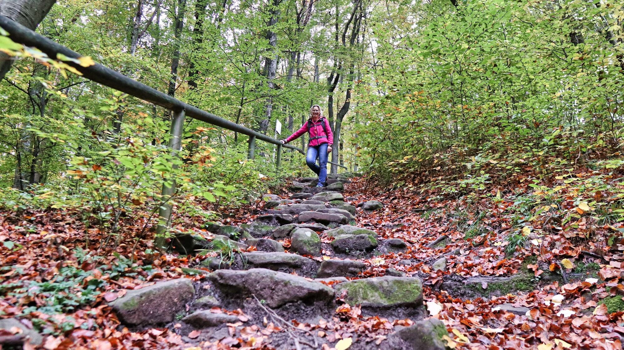
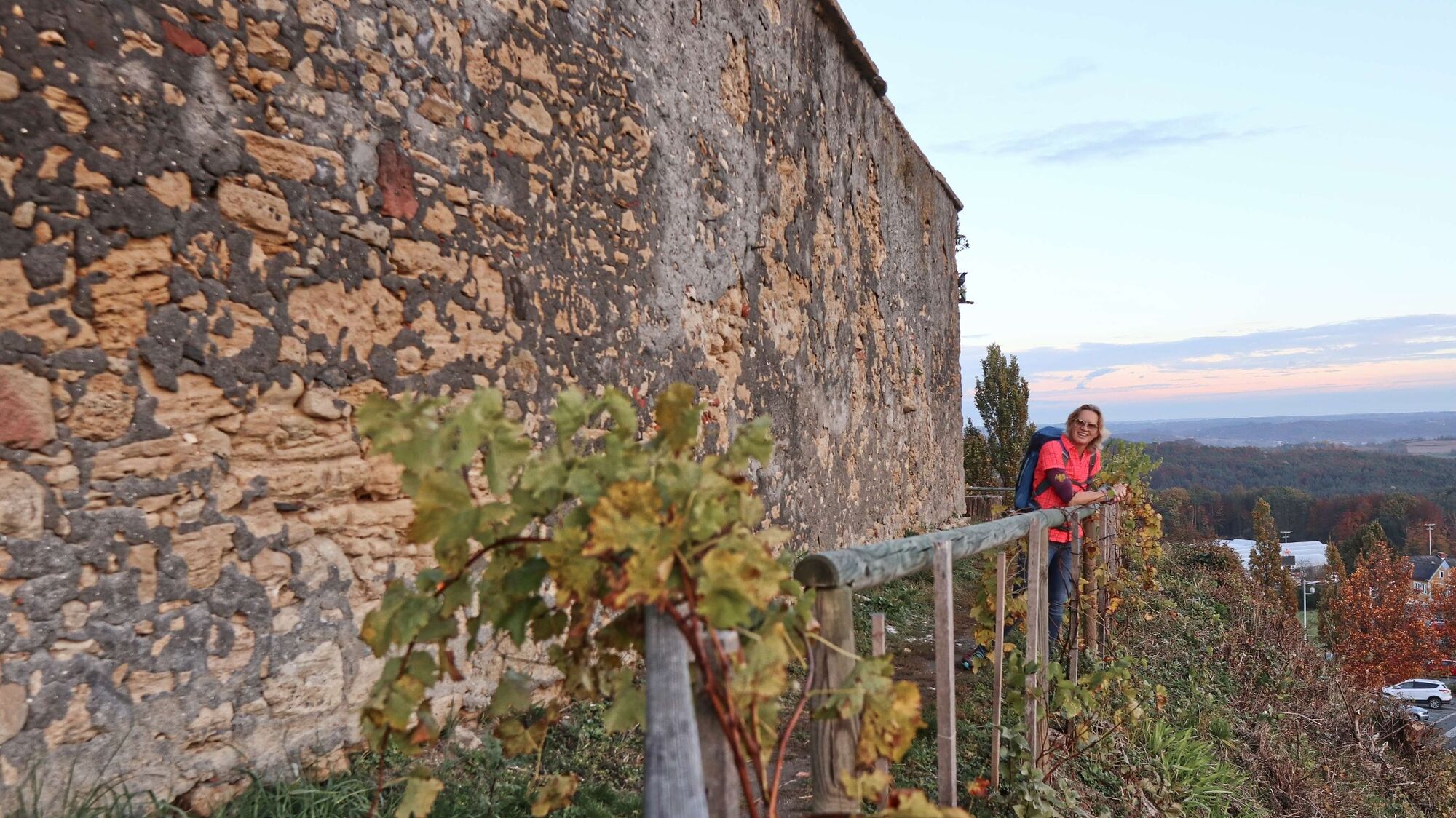
We start in the center or at the market town hall of St. Anna am Aigen. In the immediate vicinity we see the starting sign for the "Wine Trail of the Senses" on the corner of a house and thus also the entrance to the hiking trail. After a few steps downhill, we leave the populated area and hike on clearly marked paths across meadows and forest areas, with various information boards and illustrative objects along the way. A short stretch along an asphalt road and further downhill through the forest, where we can orientate ourselves very well by the markings or the bottle signposts. Once on the valley floor, we reach the Wasserorgel wine trail station and the Frühwirth refreshment stop. Immediately, the trail goes uphill again, with a short, steeper stretch to the Buschenschank Hütter winery. From the Hütter winery we are on asphalt roads. Slightly downhill and uphill, passing the Weinhof and Gästehaus Pfeifer and continuing - somewhat steeper - uphill until we turn left just before the Schemming Chapel. The detour to the chapel is recommended. Pass a few houses and continue on wide forest paths. Along the "Schulweg" we again come to side roads, which we follow.
Passing the refreshment station Fischer we soon come to the intersection of the short and long route. Here we would have the possibility to shorten the round considerably.
We now hike further east and enjoy the view of the cultivated landscape. Through the forest and past the Höllischgraben with various sculptures, we reach the road and the Bergheurigen Grenzlandhof. Now we continue along the road until we reach our destination, the lookout point with the Hendlwirt inn. Here you can take a break and enjoy the magnificent view from the tower. The way back continues right by the road, below the inn. After a few minutes, the hiking trail branches off to the right downhill. The path leads first through a wooded area and then along small settlements with well-tended vineyards. From now on, we are mainly on roads and orient ourselves by the numerous ground markings or the wine bottle signposts. Passing the "Alte Presse" rest area in Stradenberg, we hike through the cultivated landscape with a good view, slightly up and down, until we reach the viewing platform "Über den Reben" on the right. Over the wooden footbridge and further downhill through the vineyard, we soon reach the valley floor. We cross the road and now hike a bit slightly uphill to reach elderberry fields. The path goes slightly downhill again, over the stream and from now on continuously uphill, walking parallel to the road for a bit. To the left we branch off into a side street to walk the last - somewhat steep - stretch to the church. Now only a few meters of altitude and we reach our starting point.
- Highest point
- 481 m
- Endpoint
-
In the center of St. Anna am Aigen / Municipal Office
- Height profile
-

- Equipment
-
Proper backpack packing makes many things easier: Pack heavy things first. The water bottle should always be within reach in a side pocket. All the things that are often needed, such as sunglasses, camera or hiking map, belong on top. An emergency kit, including blister plasters, belongs in every rucksack and it is always advisable to dress in layers.
- Safety instructions
-
Emergency call mountain rescue: 140
ambulance: 144
European emergency call: 112
firefighters: 122
police: 133Tips when reporting an emergency – Answer these six WH questions: What happened? How many people are injured? Where did the accident happen (are there GPS coordinates)? Who is reporting the incident (callback number)? When did the accident happen? What is the weather like at the site of the incident?
- Tips
-
From the end of September until the national holiday there is storm and chestnuts as a culinary conclusion of the hike in the village - good weather provided!
- Additional information
-
Gasthaus Werner Wolf, Tel.: +43 3158 2201, 8354 St. Anna am Aigen, Waltra 63, www.gasthaus-werner-wolf.at
Gasthaus Fischer, Tel.: +43 3158 2259, 8354 St. Anna am Aigen, Marktstraße 13
Gemeindeamt St. Anna am Aigen
Marktstraße 5
8354 St. Anna am Aigen, Österreich
Tel. +43 3158 2212-0
gemeindeamt@st-anna.at
www.st-anna.at - Directions
-
from Vienna: A2 to exit Fürstenfeld, continue on 319 to Großwilfersdorf and L454 and L207 to Fehring and L204 via Kapfenstein to St.Anna am Aigen
from Graz: take the A2 to the Gleisdorf Süd exit, continue on the B68 to Feldbach and the B66 to Bad Gleichenberg and on to St. Anna am Aigen
- Public transportation
-
Detailed information about arriving by ÖBB (Austrian Federal Railways) can be found at www.oebb.at or on the Verbundlinie Steiermark website www.busbahnbim.at
With Verbundlinie’s BusBahnBim route planner app, planning your journey has never been easier: simply enter towns and/or addresses, stop names or points of interest to check all bus, train and tram connections in Austria. The app is available free of charge for smartphones – on Google Play and in the App Store
- Parking
-
There are several parking lots in the center.
- Author
-
The tour Wine trail of the senses (Weinweg der Sinne) in St. Anna is used by outdooractive.com provided.


General info
-
Oststeiermark
2125
-
Bad Gleichenberg
371
-
St. Anna am Aigen
131