© Südsteiermark - Tourismusbüro Wies

© Südsteiermark - Tourismusbüro Wies

© Südsteiermark - Brigitte Kügerl

© Südsteiermark - Tourismusbüro Wies

© Südsteiermark - Nora Ruhri

© Südsteiermark - Nora Ruhri

- Brief description
-
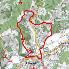
Länge: 10 km, Wald, Wiese, Straße
Gelände: flach und leicht ansteigend
Gehzeit: 3 Stunden, Halbtageswanderung
Info: Familienfreundliche Wanderung
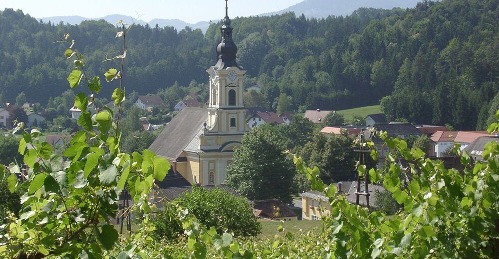
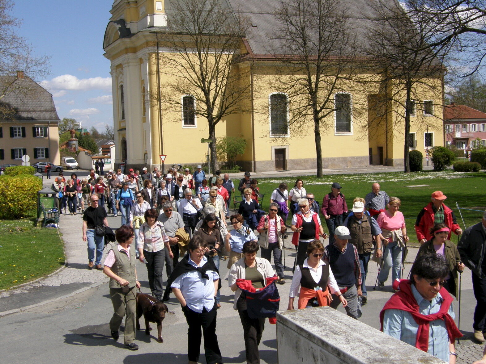
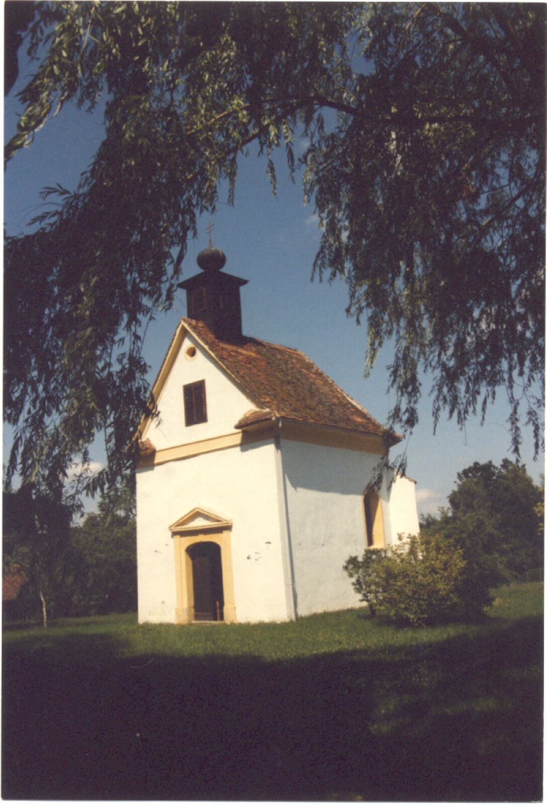
Rundweg. Die Wallfahrtskirche „Zum gegeißelten Heiland auf der Wies“ ist Ausgangspunkt für die Kapellenwanderung. Die Kirche geht urkundlich bis in das Jahr 1753 zurück. Um die Kirche herum entstand der Ort Wies.
- Difficulty
-
easy
- Rating
-
- Route
-
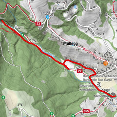
WiesAltenmarkt1.2 kmGasthof Polz3.5 kmVordersdorf3.6 kmWies11.5 km
- Best season
-
JanFebMarAprMayJunJulAugSepOctNovDec
- Highest point
- 480 m
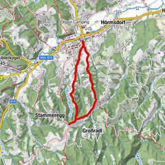
- Endpoint
-
Marktplatz Wies
- Height profile
-


-

-
AuthorThe tour Kapellenweg is used by outdooractive.com provided.
GPS Downloads


General info
Refreshment stop
Cultural/Historical
A lot of view
Other tours in the regions
-
Südsteiermark
1132
-
Schilcherland Steiermark
1099
-
Eibiswald
114