Stick & Stone (Stock & Stein) - short variant "Wine Experience Trail"


- Brief description
-
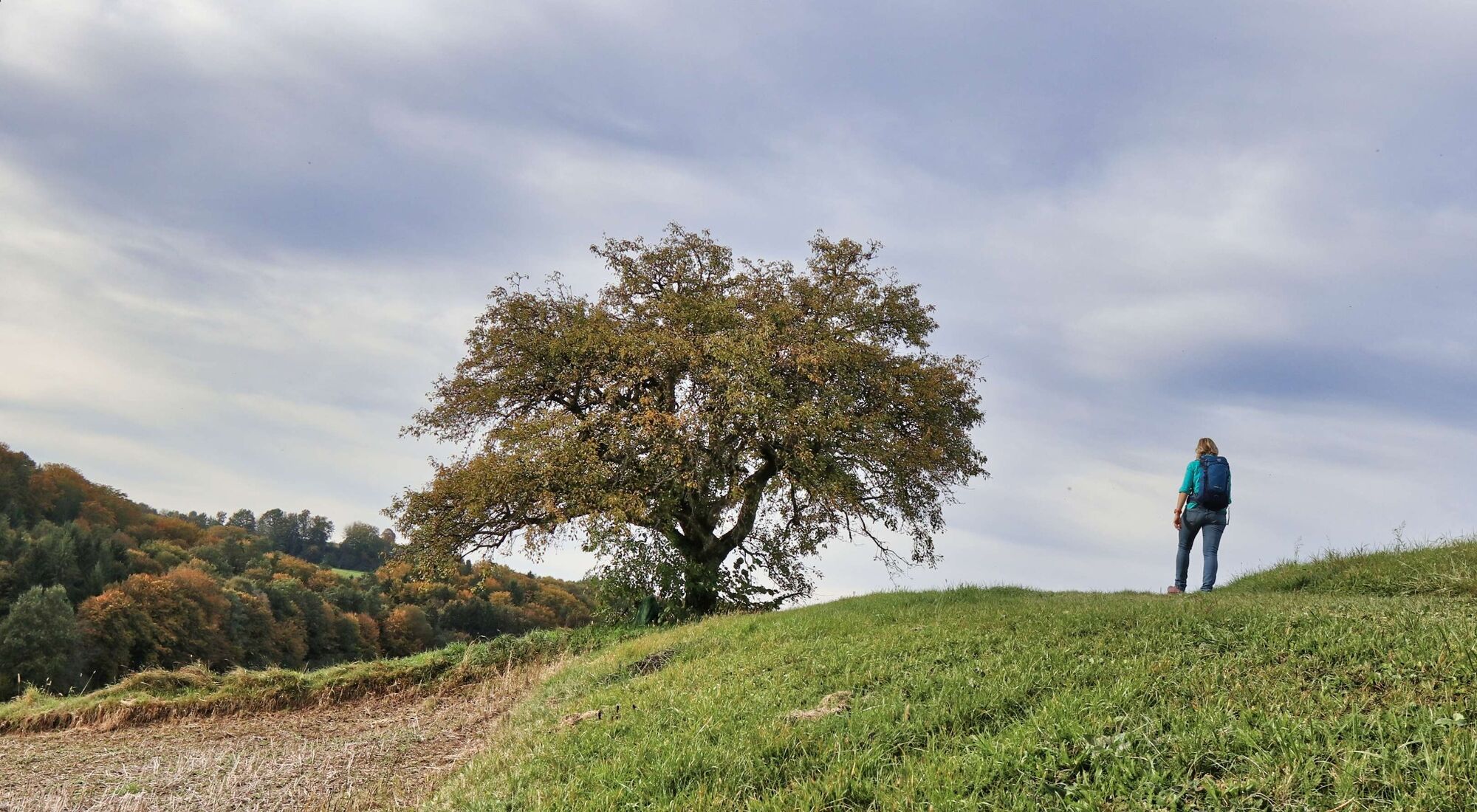
The hiking trail "Stock & Stein" leads leisurely over forest and meadow paths, past vineyards to attractive wine rest areas (self-service beverages available at all times).
- Difficulty
-
easy
- Rating
-
- Starting point
-
By the spa forecourt
- Route
-
Dornegg2.3 kmBuschenschank Thurner4.8 kmStieglitz5.0 kmHartbergen9.3 kmHartbergen9.7 kmLauten10.2 km
- Best season
-
JanFebMarAprMayJunJulAugSepOctNovDec
- Description
-
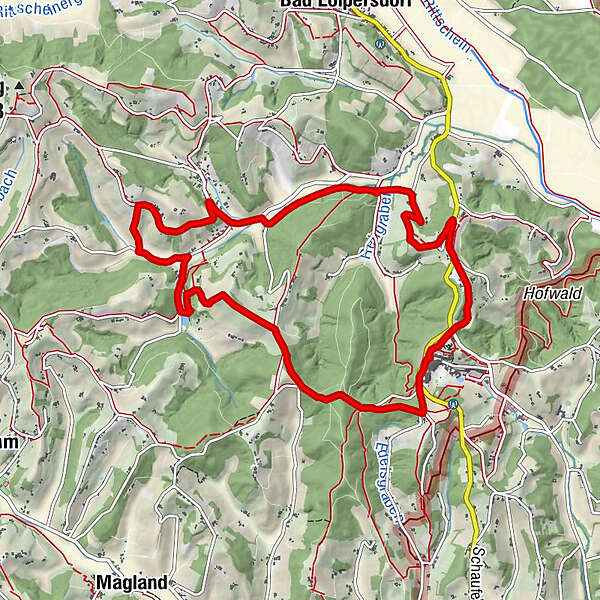
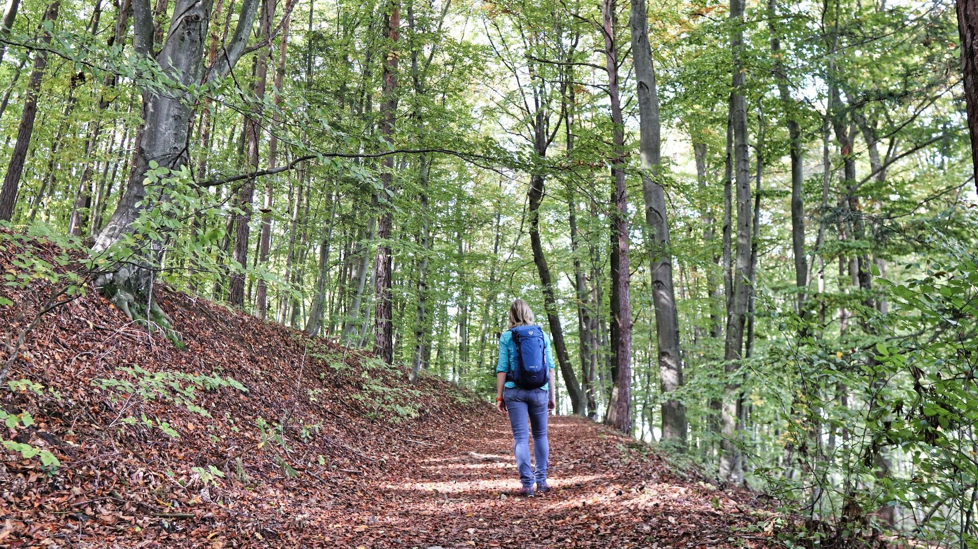
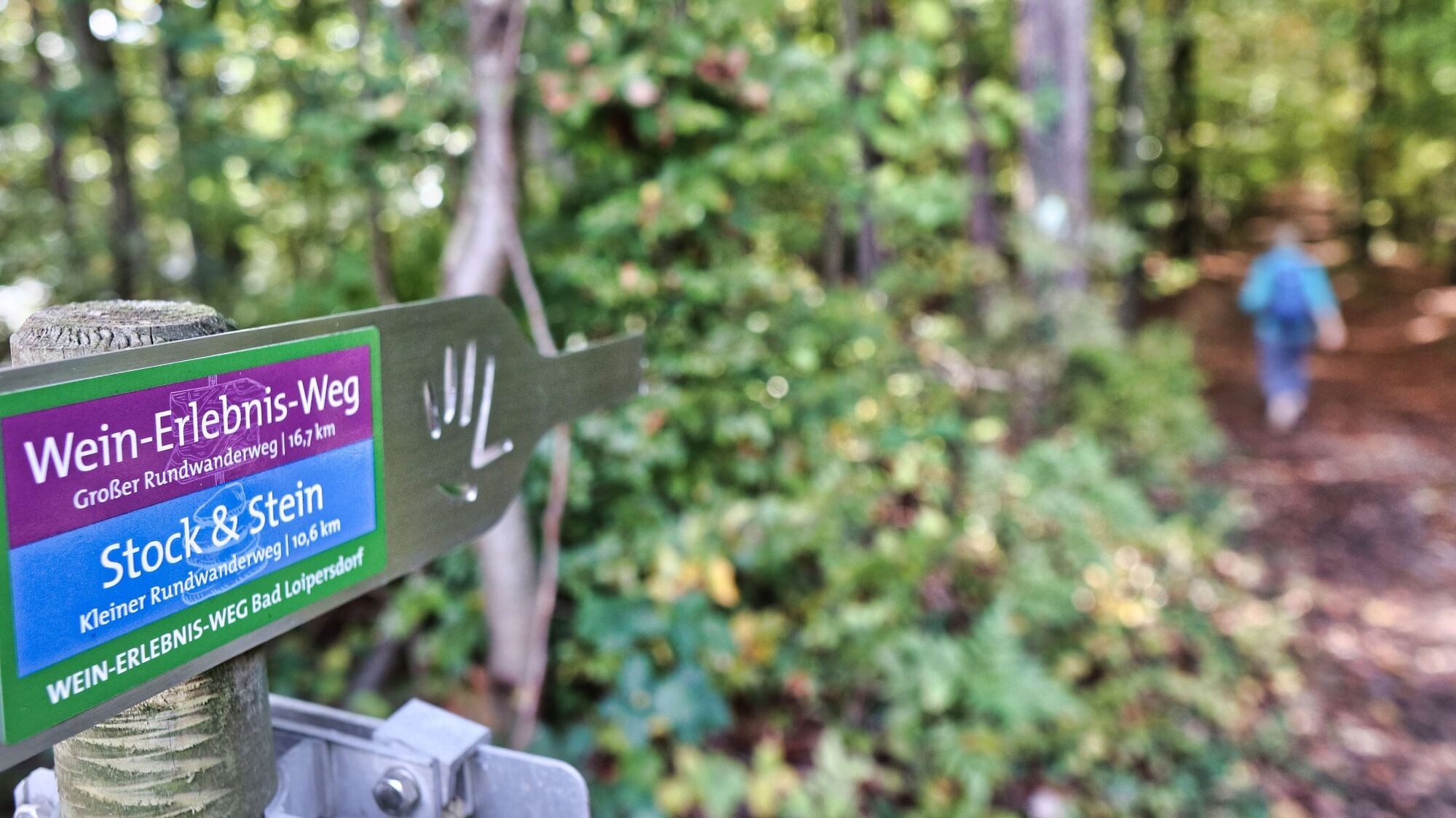
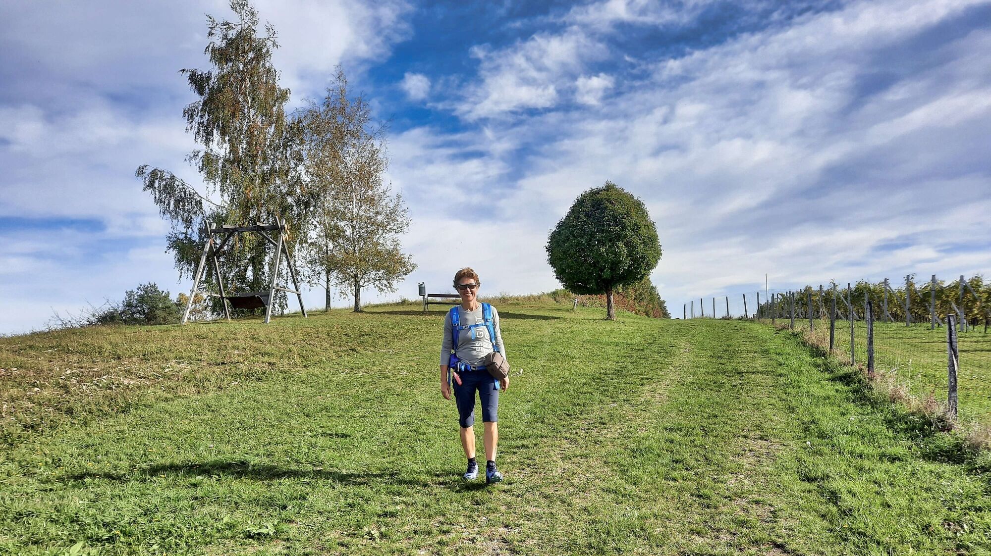
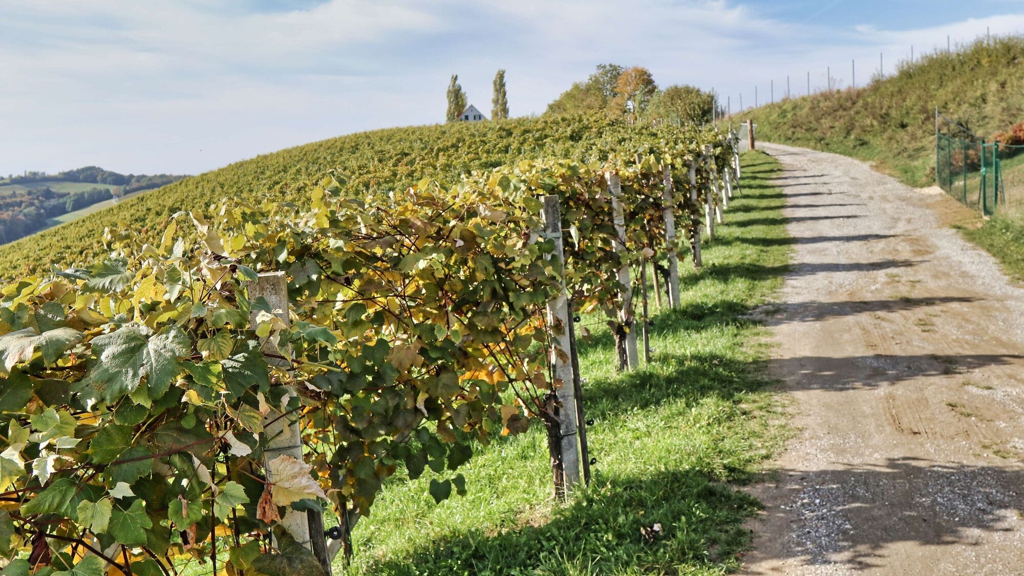
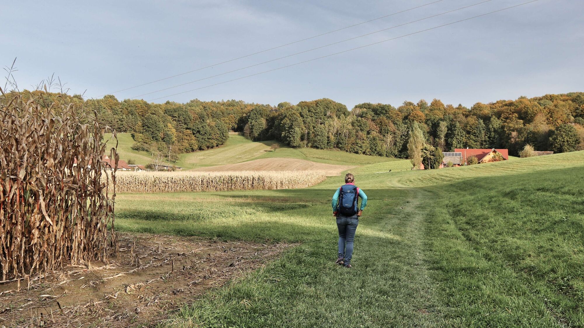
Around Bad Loipersdorf there are a variety of hiking trails, with the new themed trail with the promising name "Wine Experience Trail" is the main route, which also consists of two sections. The shortest option is the circular hiking trail "Schritt & Tritt", which with about 9 km, is suitable for families and also strollers. The actual "Wine Experience Trail" is with about 17 km a large circular hiking trail in the region. This path is wonderfully suitable for an extended day hike. And last but not least, the "Stock & Stein" theme trail, described here in detail, which at approx. 11 km is the ideal combination of exercise and enjoyment. The path leads gently up and down through a softly shaped landscape, where meadows and wooded areas alternate and small-structured agricultural areas characterize the landscape. The "Wein-Rast-Platzln" (wine rest areas) at the Buschenschänken (wine taverns), which are self-service almost around the clock, invite you to take a break and enjoy regional products.
- Directions
-
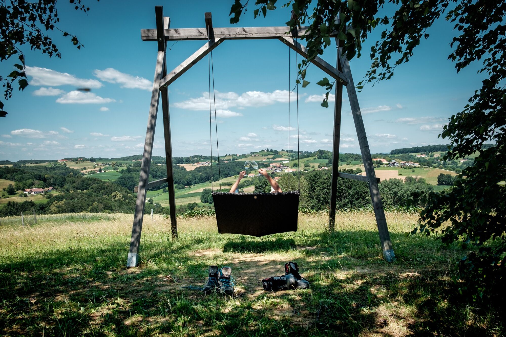
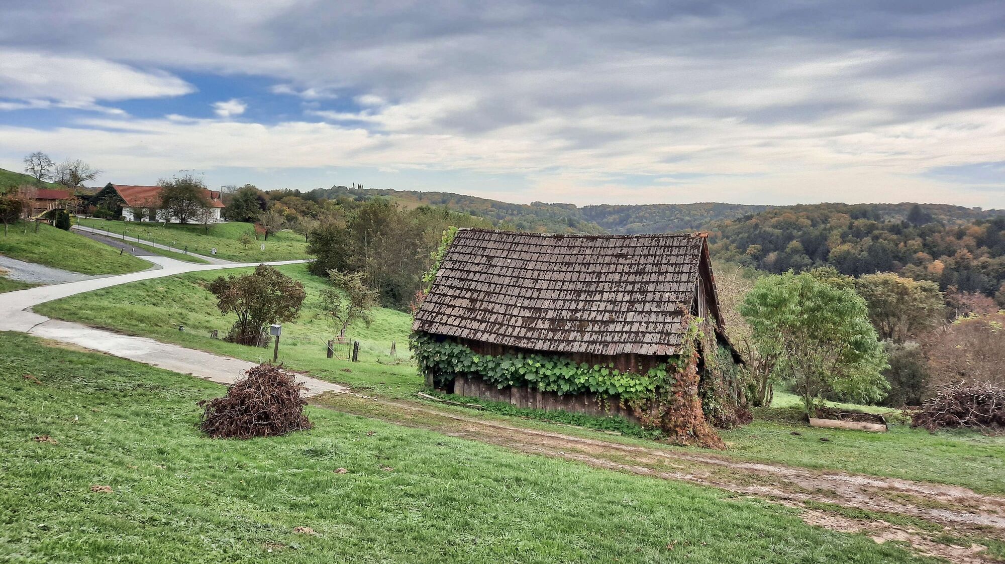
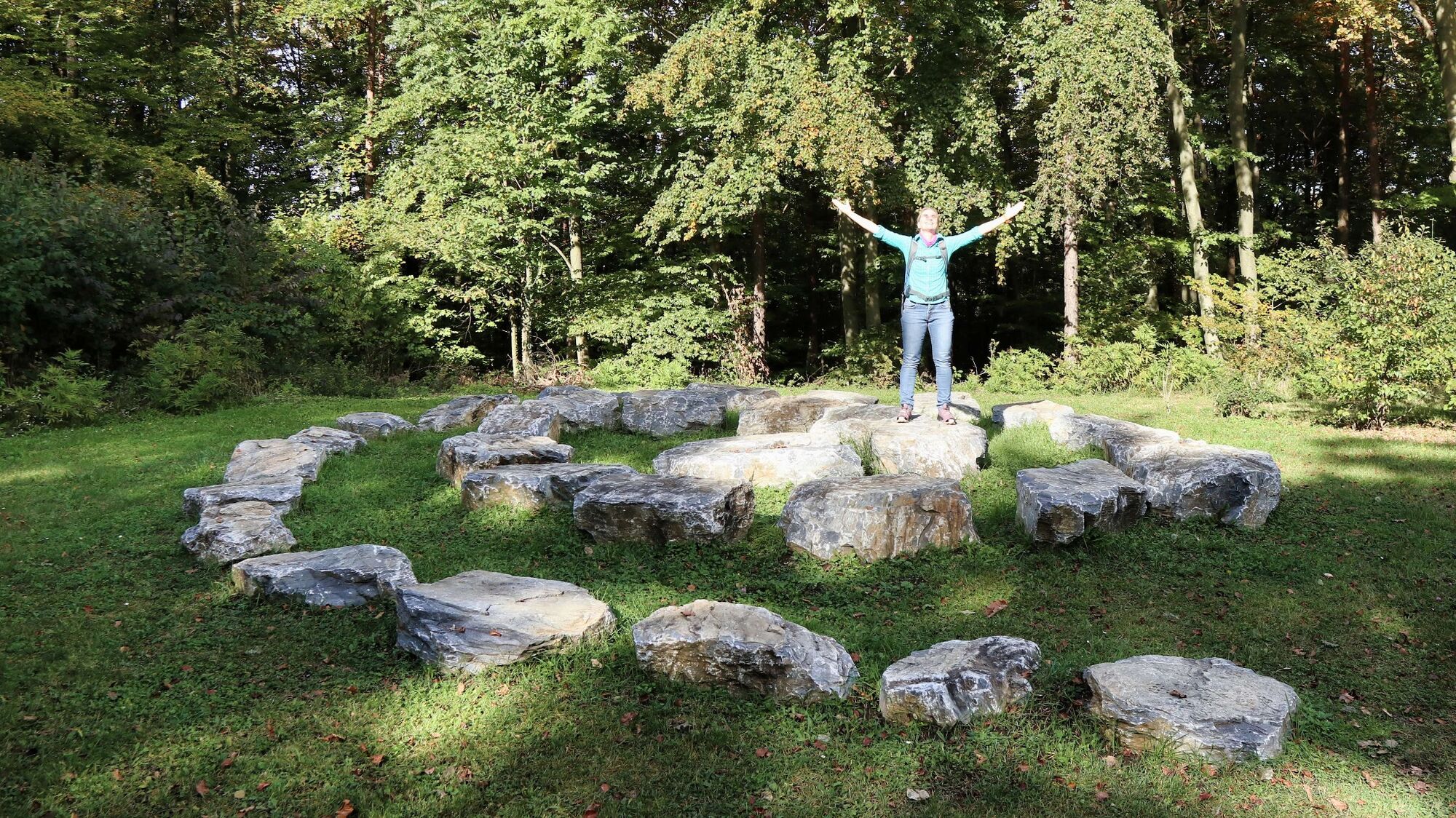
The start is at the main entrance of the thermal spa Loipersdorf where you will also find the start and finish sign for the three wine experience trails. We walk in the direction of Hotel Stoiser and change the side of the road at the traffic circle. The path goes slightly uphill, past the Kropf thermal wine tavern and then immediately to the right to the Lautenberg thermal spring and the stone spiral. From now on we go through the forest past the crossroads and the information board of the Roman burial mounds until we reach an asphalt road. At the crossroads we see the entrance to the forest on the other side of the road. After walking a short distance through a deciduous forest, we come to a road, which we now follow slightly uphill to the houses. We branch off to the left, hike across cultivated areas and come to a suspended lounger, which invites us to rest and linger. Continue slightly downhill along forest paths and wooden stairs to the valley floor. At the former quarry we keep left and come to a pond where we find a wooden hut with a self-service possibility. The trail continues to the right along the valley floor on the asphalt road. At the crossroads we turn left, shortly after we leave the road and walk uphill across meadows and farmland to the Buschenschank Thurner. The Buschenschank Thurner is a "Wein-Rast-Platzl" with a hiking overview board and a self-service area. Up to here, the large circular hiking trail "Wein-Erlebnis-Weg" and the "Stock & Stein-Wanderweg" run parallel. We now turn right and follow the asphalt road continuously downhill until we reach the village of Stein. Once at the bottom of the valley, we keep to the right, pass the Stangl Wirt inn, and then continue to the left at the crossroads. The hiking trail now continues on asphalt roads along the valley floor until we branch off onto a dirt road and subsequently hike comfortably uphill. At a large wooden cross we go left and shortly reach a sparsely populated area. After reaching the road, we go uphill until we reach the VINO.TAKE (vinotheque) Kowald and continue along a side road (Panoramaweg) and along a footpath back to the spa. The path over the power hill is a nice ending before we reach the starting point again.
- Highest point
- 363 m
- Endpoint
-
By the spa forecourt
- Height profile
-

- Equipment
-
Proper backpack packing makes many things easier: Pack heavy things first. The water bottle should always be within reach in a side pocket. All the things that are often needed, such as sunglasses, camera or hiking map, belong on top. An emergency kit, including blister plasters, belongs in every rucksack and it is always advisable to dress in layers.
- Safety instructions
-
Emergency call mountain rescue: 140
ambulance: 144
European emergency call: 112
firefighters: 122
police: 133Tips when reporting an emergency – Answer these six WH questions: What happened? How many people are injured? Where did the accident happen (are there GPS coordinates)? Who is reporting the incident (callback number)? When did the accident happen? What is the weather like at the site of the incident?
- Tips
-
An overview map with the refreshment stops and highlights is available at the starting point in front of the spa, so be sure to get it before you start.
- Additional information
- Directions
-
From Vienna: A2 to exit Ilz/Fürstenfeld. From here via Fürstenfeld bypass to Bad Loipersdorf.
From Graz: A2 direction Vienna until exit Ilz/Fürstenfeld. From here via the Fürstenfeld bypass to Bad Loipersdorf.
FROM WESTERN AUSTRIA AND BAVARIA
By car: via Salzburg on the Phyrn-Autobahn (A9) and the Süd-Autobahn (A2) or via Carinthia on the Süd-Autobahn (A2) to exit Ilz/Fürstenfeld. From here via Fürstenfeld bypass to Bad Loipersdorf.
FROM ITALY OR SLOVENIA
By car: via Villach on the southern freeway (A2) to the Ilz - Fürstenfeld - Bad Loipersdorf exit or via Maribor on the Phyrn freeway (A9) and the southern freeway (A2) in the direction of Vienna to the Ilz/Fürstenfeld exit. From here via Fürstenfeld bypass to Bad Loipersdorf.
THERMENLANDBUS
The Thermenland bus runs three times a day on weekdays and once a day on Saturdays, Sundays and public holidays between Vienna and the Loipersdorf spa resort.
Detailed information on how to get there can be found here.
- Public transportation
-
Detailed information about arriving by ÖBB (Austrian Federal Railways) can be found at www.oebb.at or on the Verbundlinie Steiermark website www.busbahnbim.at
With Verbundlinie’s BusBahnBim route planner app, planning your journey has never been easier: simply enter towns and/or addresses, stop names or points of interest to check all bus, train and tram connections in Austria. The app is available free of charge for smartphones – on Google Play and in the App Store.
- Parking


- Author
-
The tour Stick & Stone (Stock & Stein) - short variant "Wine Experience Trail" is used by outdooractive.com provided.


General info
-
Thermen- & Vulkanland
1324
-
Loipersdorf bei Fürstenfeld
463
-
Loipersdorf
113